
Search for another town

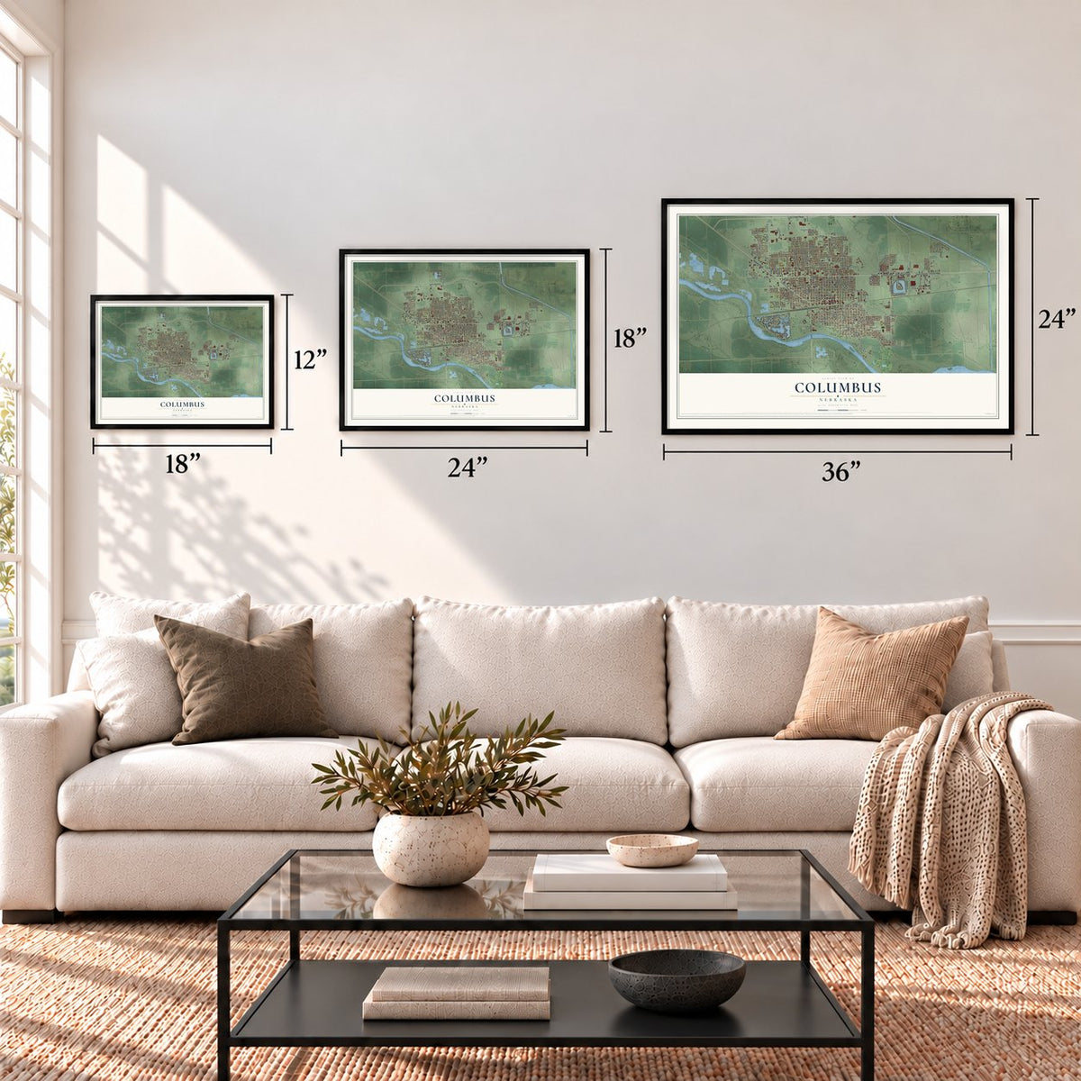
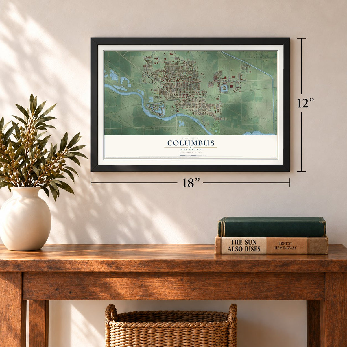
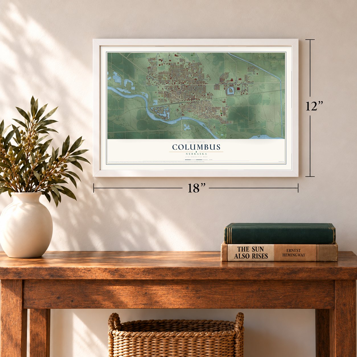
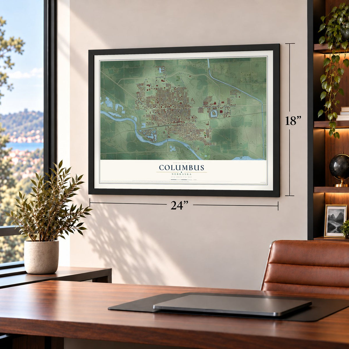
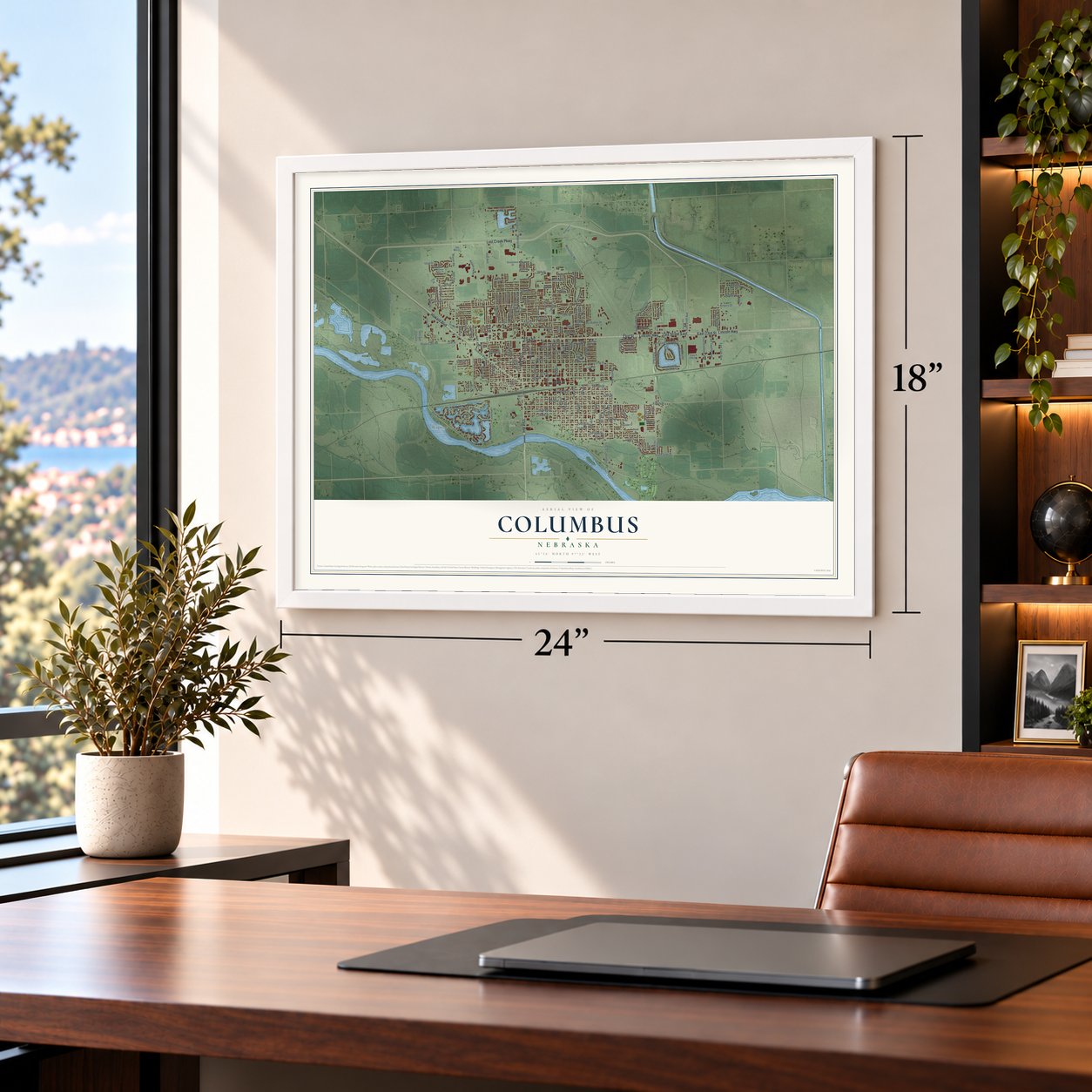

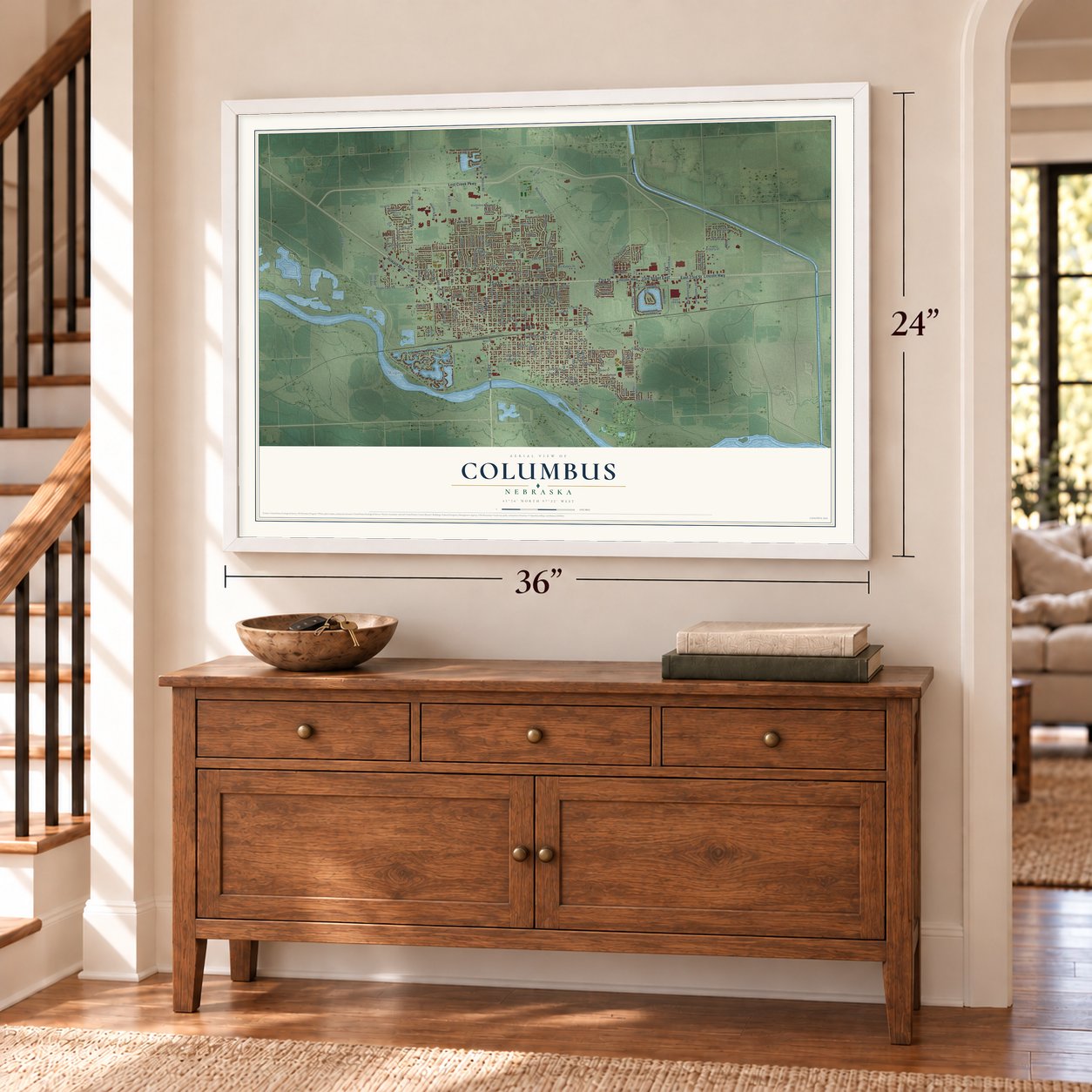
Free U.S. delivery 7 to 10 days after you order
Columbus, Nebraska Map Art
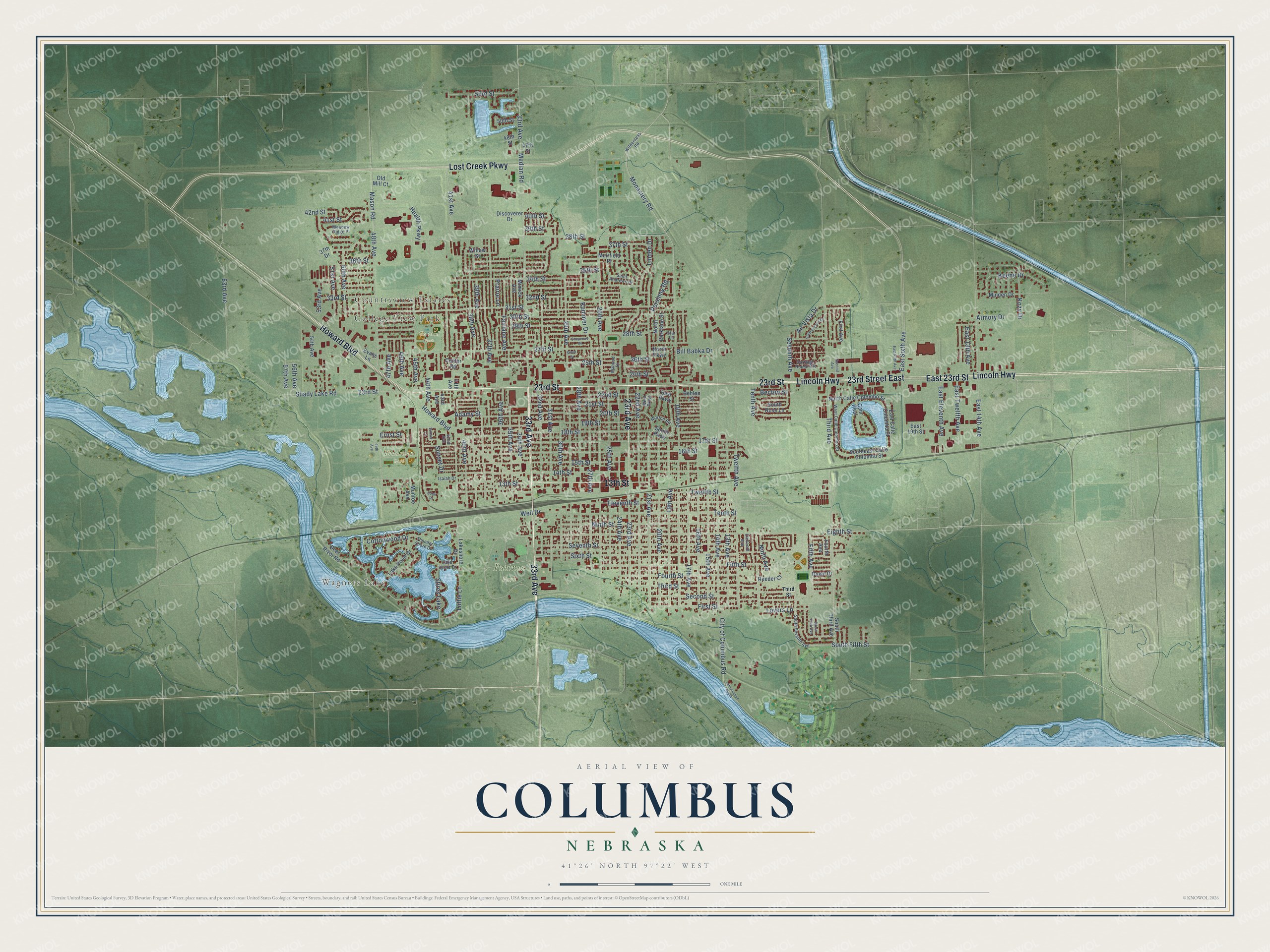
A new map of Columbus, Nebraska, made in 2026 and printed to order on thick archival matte paper.
12" x 18" Archival Matte Print
A Map of Home. A Work of Art.
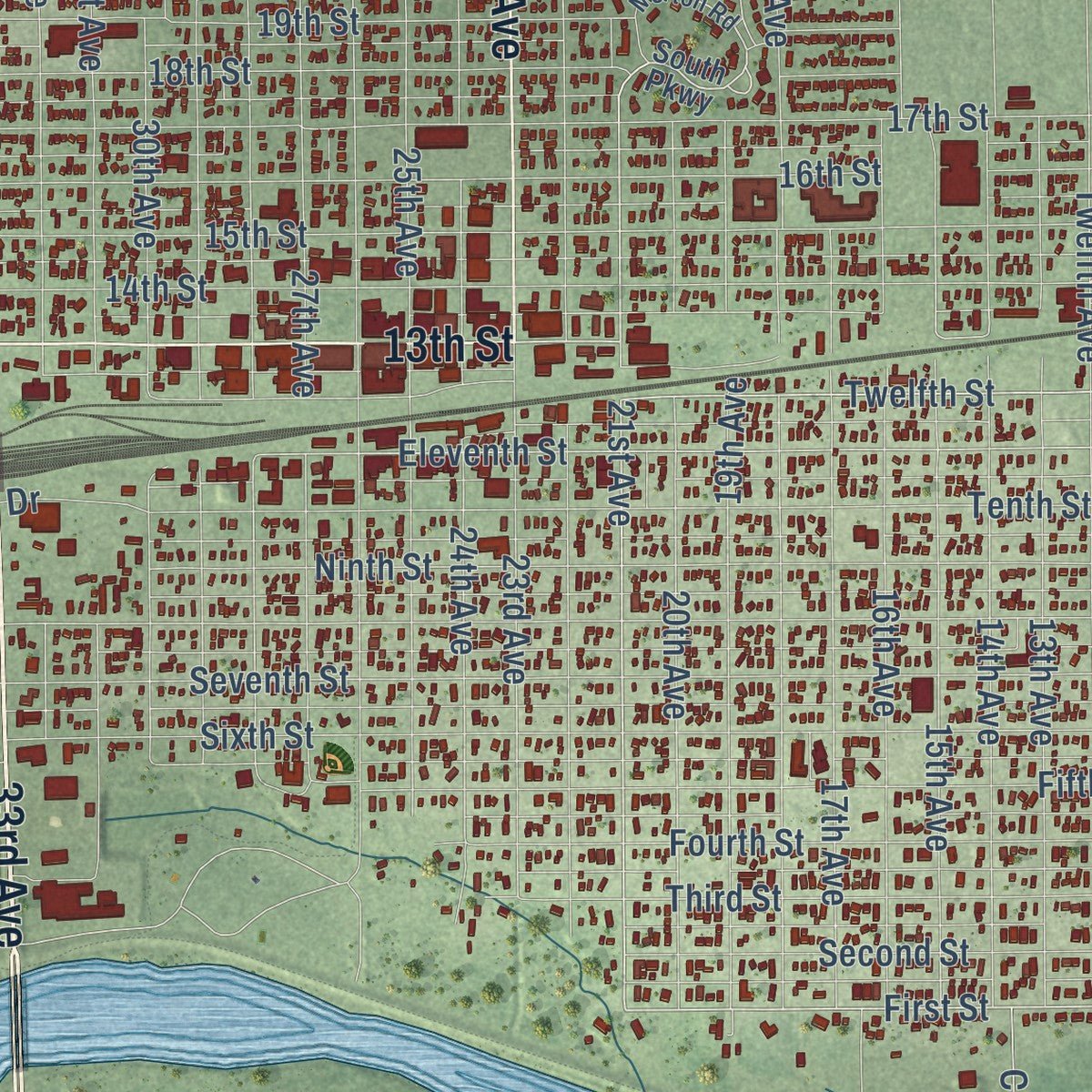
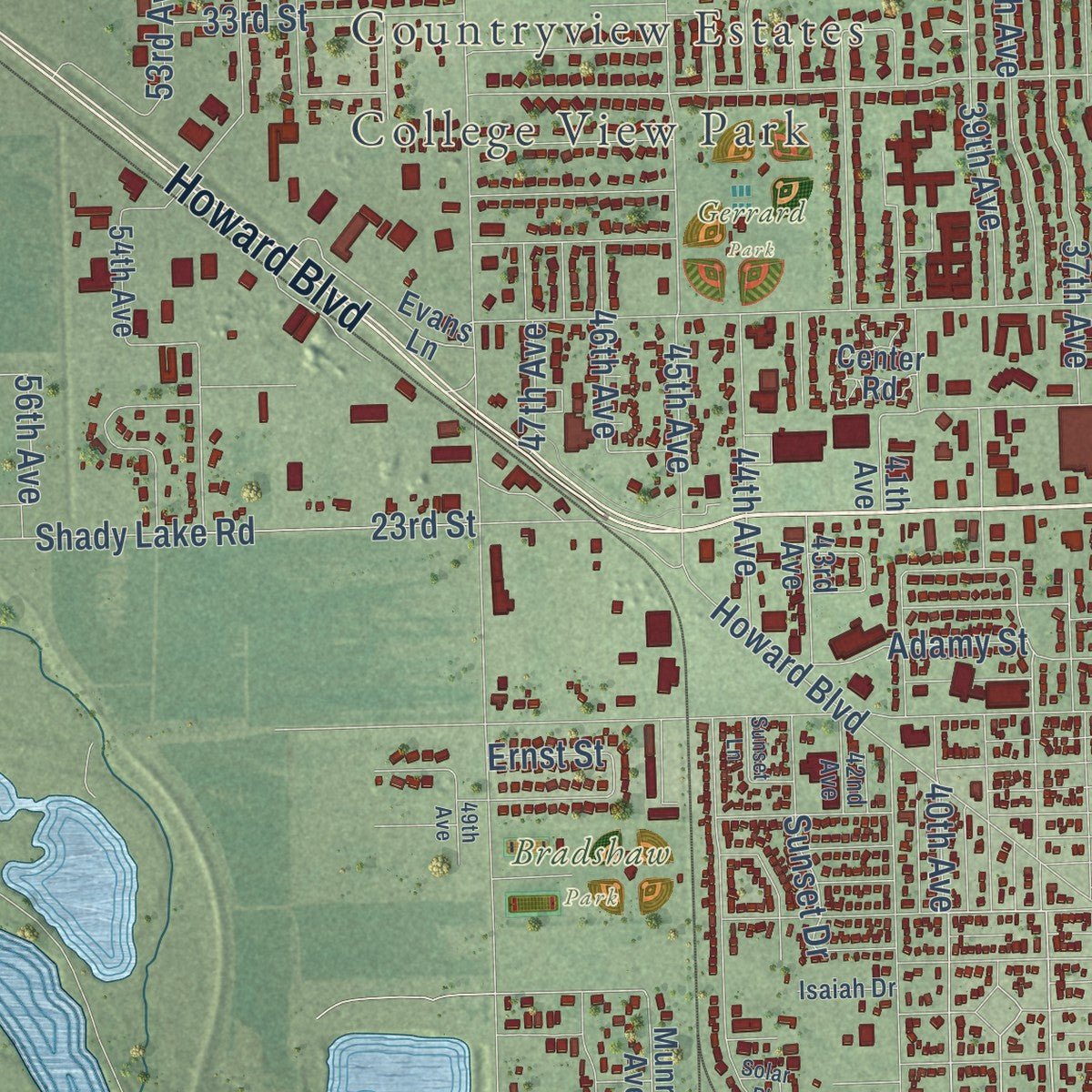
Explore Columbus, Nebraska from a whole new perspective. Created using aerial imagery and detailed geographic data, this map captures Columbus building by building, with labeled streets, familiar landmarks, and shaded topographical relief that highlights the natural contours of the landscape.
Combining modern data with the timeless character of a vintage atlas, this map is just as interesting up close as it is beautiful on the wall. Whether you grew up in Columbus, spent memorable years there, or call it home today, this unique map is a great way to celebrate a place that means something to you. Zoom in on the preview to look for your street, and then order a print to put your memories on the wall.
Three ways to hang it
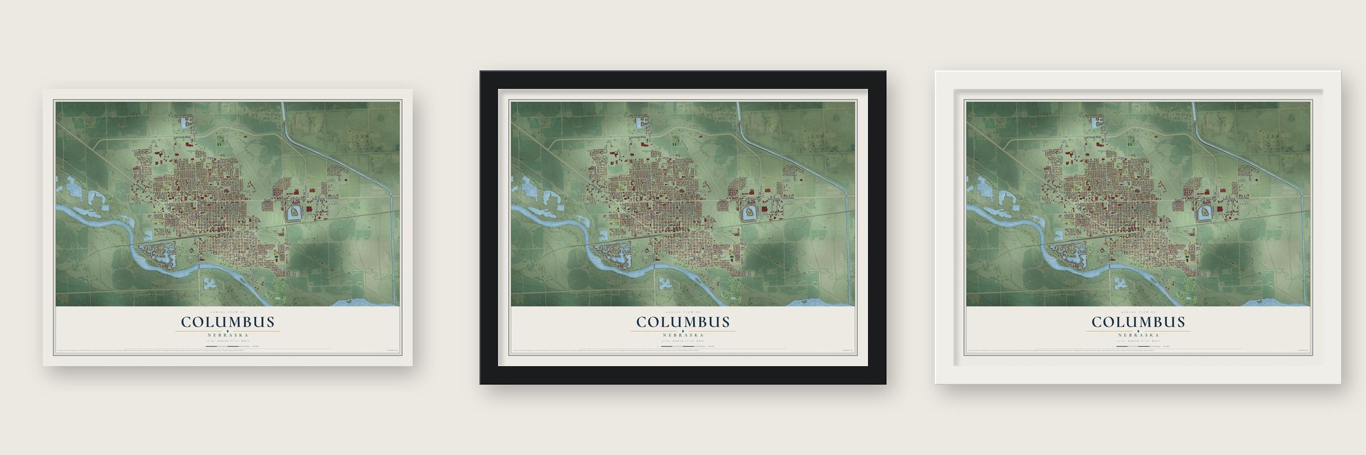
Unframed archival matte, a black wood frame or a white wood frame.
Up close
Geography Worth Displaying
This map was created using accurate cartographic data and authoritative geographic sources, including the U.S. Geological Survey and the Census Bureau. The map brings together terrain, waterways, roads, and building detail. The majority of the streets are labeled, houses are accurately depicted, and the topography is derived from government sources. Combining local data with carefully composed color and shading leads to this beautifully detailed Columbus artwork for your wall.
Rather than simply showing street outlines, we’ve included as many of the street names as we could reasonably fit on the map while keeping their names legible. Zoom in on the high resolution preview to see exactly what’s on the map. We truly set out to create a statement piece for anyone who loves Columbus. So whether it’s for you, or a gift for someone you love, we hope this map of Columbus brings back fond memories.
Read the story behind this map of Columbus, Nebraska from 2026.

About Columbus, Nebraska
Columbus is a city of 24,028 people and the county seat of Platte County, where the Loup River meets the Platte. Pawnee, Otoe, Ponca and Omaha people used the land around the two rivers long before settlers came. On May 28, 1856, the Columbus Town Company claimed a townsite here because the transcontinental railroad was expected to pass this way. Most of its members had come from Columbus, Ohio, so they named the new town after their old home.
That November the company joined with another group that had laid out a town called Pawnee just to the west. In 1857 the Pawnee people gave up most of their Nebraska land by treaty. Columbus was incorporated in 1858, when it had only 16 citizens. Growth stayed slow until the Union Pacific tracks reached town in June 1866, when about 75 people lived here.
“...the new center of the Union and quite probably the future capital of the U.S.A.”
- A hotel moved in 1866Promoter George Francis Train dreamed of a chain of cities along the Union Pacific, and Columbus was to be one of them. He bought several hundred lots here in 1865. The next year he saw the nearby townsite of Cleveland as a threat. He bought its only building, a hotel, and hauled it to Columbus. He named it the Credit Foncier Hotel after his land company and kept one room set aside for any visiting U.S. president.
- Jay Gould's threatIn 1879 the Burlington and Missouri asked Platte County voters for a $100,000 bond to build a line through Columbus. Union Pacific financier Jay Gould threatened to ruin the town if it passed, but voters approved it. Gould then had a new branch line cross the Loup at Lost Creek, skipping Columbus. After an ice jam wrecked that bridge in spring 1881, the railroad agreed to run the line to Columbus for $25,000 from the city.
- Power for the whole stateThe Loup Project was the city's biggest Depression public works job. It was a 35-mile canal from the Loup to the Platte, feeding power plants near Monroe and at Columbus. Work began in August 1934 and was mostly done by September 1938. At its peak in October 1936 it employed 1,352 people. Consumers Public Power District, formed in Columbus in 1939, bought up private utilities, and by 1949 Nebraska was the only state served entirely by public power.
- Two coast-to-coast highwaysIn 1911 the Nebraska Meridian Road Association was organized at a meeting in Columbus, for a north-south highway that later became U.S. 81. The Lincoln Highway, later U.S. 30, crossed the Loup here too. Hotels and garages went up for the travelers, and the city paved and lit its downtown. By 1925 nearly every lot on 13th Street between 23rd and 29th Avenues held a commercial building.
Find your street
Names on the Columbus map
Every name below is printed on this map. Look for your street, your school, the park where you played, or the pond down the road.
Places and landmarks7
- College View Park
- Countryview Estates
- Wagners Lake
- Bradshaw Park
- Gerrard Park
- Pawnee Park
- Stires Lake
Streets and roads184
- Lincoln Highway
- 33rd Avenue
- 23rd Street
- 23rd Avenue
- 23rd Street East
- Lost Creek Parkway
- East 23rd Street
- Howard Boulevard
- 13th Street
- Third Avenue
- South Fifth Street
- 21st Avenue
- First Street
- Twelfth Street
- 15th Street
- Seventh Avenue
- 38th Avenue
- 40th Avenue
- Eleventh Street
- 15th Avenue
- 39th Avenue
- 28th Avenue
- 22nd Street
- 37th Street
- 46th Avenue
- 27th Street
- 35th Street
- 50th Avenue
- 18th Avenue
- 38th Street
Show all 184 streets
- 14th Street
- 25th Street
- Monastery Road
- 32nd Street
- Cottonwood Drive
- East Sixth Avenue
- Eighth Street
- 26th Avenue
- 19th Street
- 48th Avenue
- Sixth Street
- 17th Street
- 31st Street
- 25th Avenue
- 18th Street
- Fifth Street
- 16th Street
- 29th Avenue
- 30th Avenue
- 20th Street
- 16th Avenue
- 30th Street
- 31st Avenue
- 24th Avenue
- 37th Avenue
- 28th Street
- 45th Avenue
- Seventh Street
- 34th Street
- 41st Avenue
- 36th Avenue
- 17th Avenue
- 22nd Avenue
- East 14th Avenue
- Tenth Street
- 21st Street
- Pershing Road
- Third Street
- Ninth Street
- City of Columbus Road
- 14th Avenue
- 27th Avenue
- 13th Avenue
- Twelfth Avenue
- 33rd Street
- 19th Avenue
- 20th Avenue
- Second Street
- 34th Avenue
- Fourth Street
- 32nd Avenue
- Tenth Avenue
- 35th Avenue
- 36th Street
- Shady Lake Road
- 29th Street
- Kozy Drive
- 24th Street
- East Eleventh Avenue
- Median Road
- 42nd Street
- 44th Avenue
- Linden Drive
- East Twelfth Avenue
- Bill Babka Drive
- 26th Street
- 63rd Avenue
- Kummer Drive
- 51st Avenue
- 53rd Avenue
- 53rd Street
- Mason Road
- Fairlane Avenue
- Keene Drive
- Lottie Lane
- Fifth Avenue
- 41st Street
- East 13th Avenue
- Armory Drive
- 56th Avenue
- Lovers Lane
- Ninth Avenue
- Air Vista Drive
- Sunset Drive
- 47th Avenue
- Adamy Street
- Weil Drive
- Health Parkway
- Becton Street
- 39th Street
- Prairie Lane
- 57th Avenue
- Ernst Street
- 40th Street
- South Third Avenue
- South Parkway
- East Parkway
- First Avenue
- Evans Lane
- Willow Street
- 37th Drive
- Lakeshore Drive
- 43rd Avenue
- Discoverer Drive
- Minden Drive
- 54th Avenue
- North Calle Colombo Street
- Southeast Calle Colombo Street
- North Parklane Street
- East Calle Colombo Street
- Deer River Road
- North Parkway
- Lake Point Drive
- Center Road
- South Rose Lane
- 50th Street
- Mimick Avenue
- Reeder Court
- Muirfield Place
- Munroe Avenue
- Behlen Street
- Old Mill Court
- Dawn Drive
- East 19th Street
- 48th Street
- 41th Avenue
- Fourth Avenue
- Cam Real
- 47th Street
- South Seventh Avenue
- Carriage House Est
- Morton Road
- Wilderness Road
- West Calle Colombo Street
- Saint Andrews Drive
- Mahood Drive
- West Parkway
- 42nd Avenue
- Meadow Ridge Place
- Thunder Shore Drive
- Lake Shore Drive
- Eleventh Avenue
- Isaiah Drive
- Star Lane
- Second Avenue
- 14th Avenue South
- Saint Francis Drive
- 49th Avenue
- East Fifth Avenue
- Cheyenne Street
- Sunset Lane
- South Fifth Avenue
- Sioux Drive
- Solar Place
Names are listed as they appear on the printed map. Zoom into the product photos to find them.
The art of mapping a place
How This Map Was Made
Real places. Remarkable detail. Discover the layers that turn geographic data into a map of home.

The view from above
Aerial imagery reveals the character of the land: woodland, open fields, and the patterns of a place.

The shape of the land
Elevation data brings hills, valleys, and subtle changes in the landscape into view.

The details of home
Roads, waterways, and building footprints come together to make the map feel unmistakably local.

Geography becomes art
Considered color, shading, and typography bring the layers together in a map made for your wall.


Process illustrated with Mendon, Massachusetts. Aerial imagery: USDA NAIP. Terrain: USGS 3D Elevation Program. Map details and finished artwork: KNOWOL.
The Details
About This Print
Choose an archival matte print, or a black or white Ayous wood frame. The archival matte print is unframed.
Select your size and finish above to see the matching product image and price.
Materials & Craftsmanship
A contemporary map with the character of a classic atlas, printed on archival matte paper. Optional frames are made from Ayous wood.
Your printed map does not include the watermark shown in the full-map preview.
Shipping & Delivery
Free shipping within the United States. Every print is made to order in the USA.
Buying a gift? Add a note in your cart and we'll include it. We never put prices in the package.
Prints ship within 2 to 3 business days. Allow 7 to 10 days total from ordering for delivery. Timing may vary during holidays or periods of high order volume.
Read our shipping policy.
Returns and damaged prints
Each print is made to order. Change-of-mind refunds are not available after production.
If your print arrives damaged, misprinted or incorrect, contact support@knowol.com within 30 days of receiving it. Include your order number, photos and a description of the issue.
Read our full refund and replacement policy. For questions about your order, email support@knowol.com.
Find your town
Looking for another city?
Find a map of home in our Nebraska collection, or any town in the country.
Nearby
Maps of towns near Columbus
Know someone from one of these towns? Their map makes a great gift.
 Lakeview
, Nebraska
From $39.99See the map
 Richland
, Nebraska
From $39.99See the map
 Duncan
, Nebraska
From $39.99See the map
More maps nearby: Bellwood, Platte Center, Monroe, Tarnov and Schuyler.