
Search for another town

Free U.S. delivery 7 to 10 days after you order
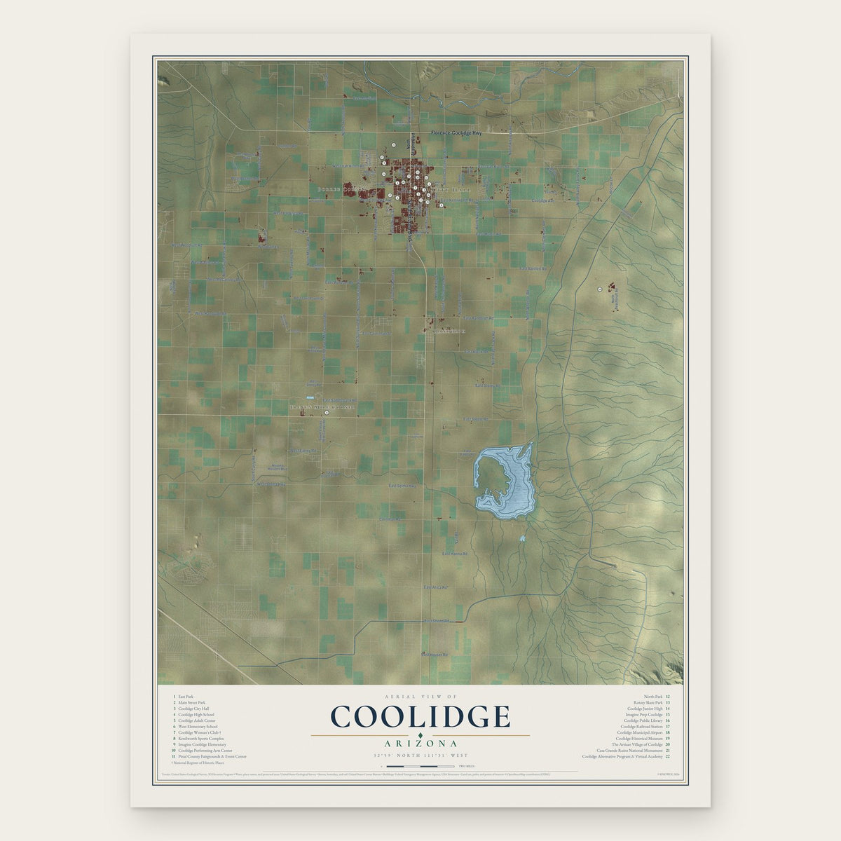
Coolidge, Arizona Map Art
Building by building, with labeled streets and shaded relief.
12" x 18" Archival Matte Print
A Map of Home. A Work of Art.
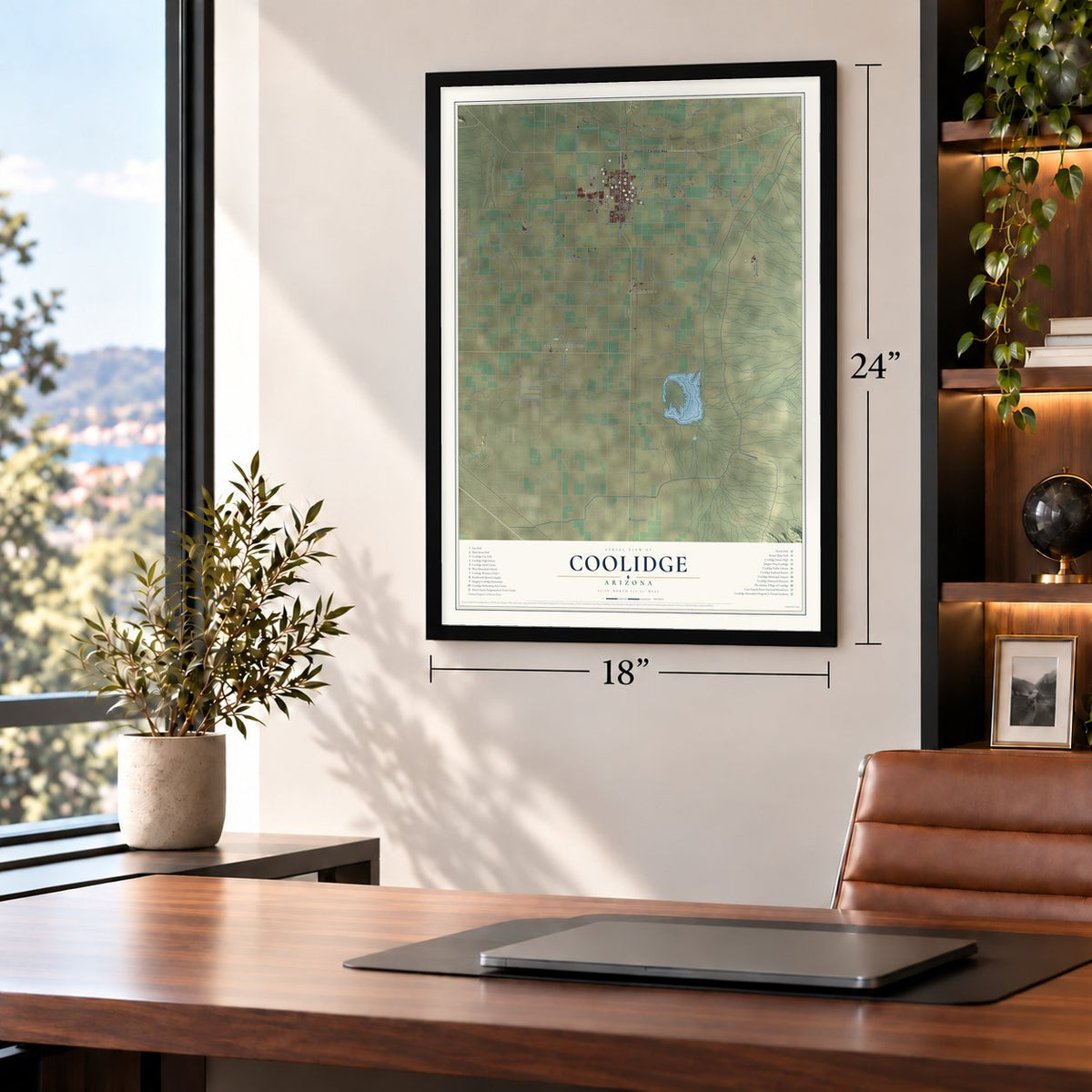
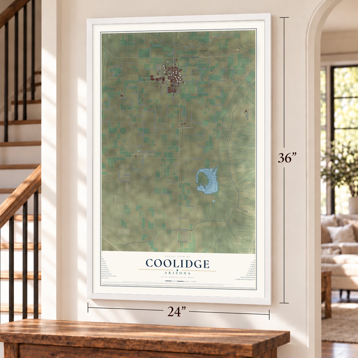
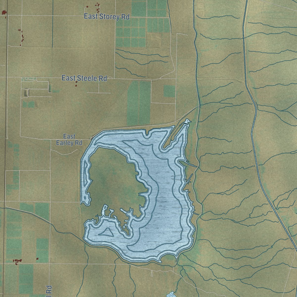
Explore Coolidge, Arizona from a whole new perspective. Created using aerial imagery and detailed geographic data, this map captures Coolidge building by building, with labeled streets, familiar landmarks, and shaded topographical relief that highlights the natural contours of the landscape.
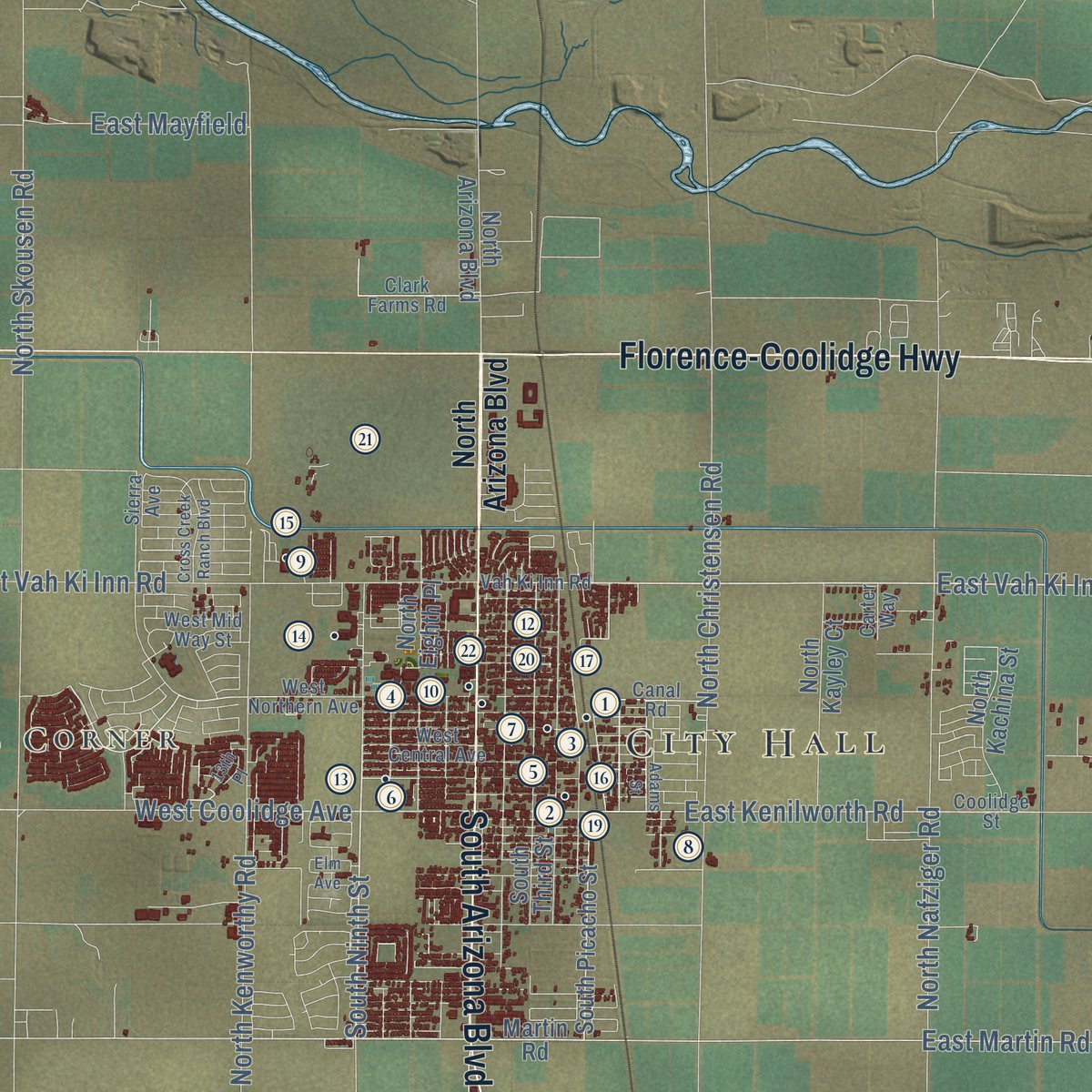
Combining modern data with the timeless character of a vintage atlas, this map is just as interesting up close as it is beautiful on the wall. Whether you grew up in Coolidge, spent memorable years there, or call it home today, this unique map is a great way to celebrate a place that means something to you. Zoom in on the preview to look for your street, and then order a print to put your memories on the wall.

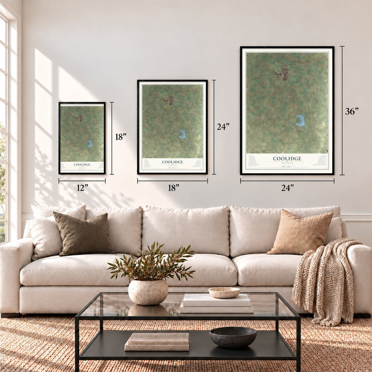
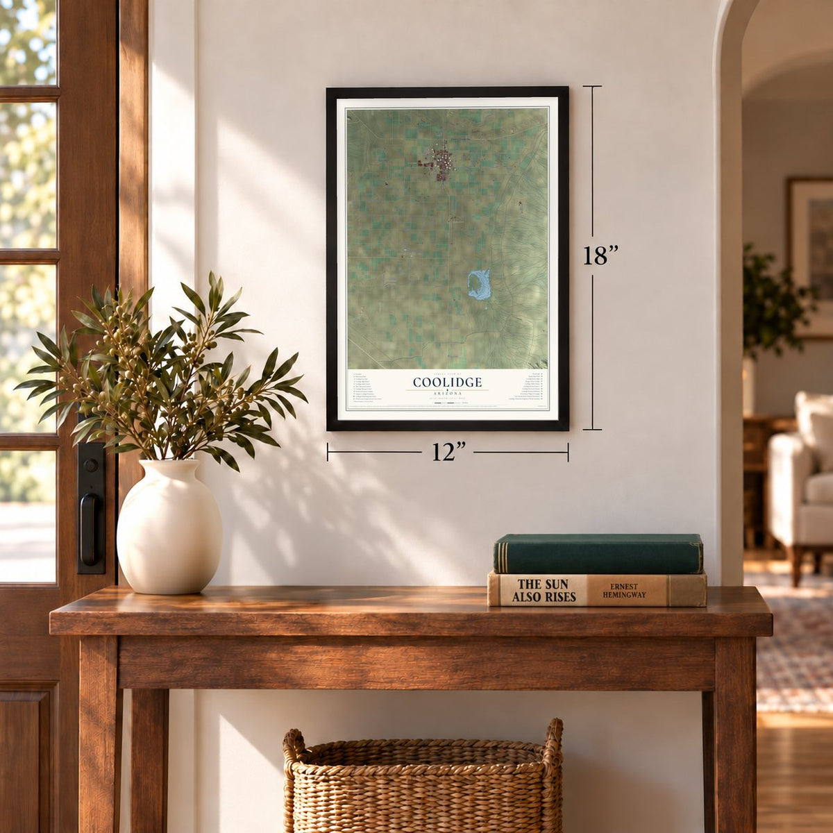
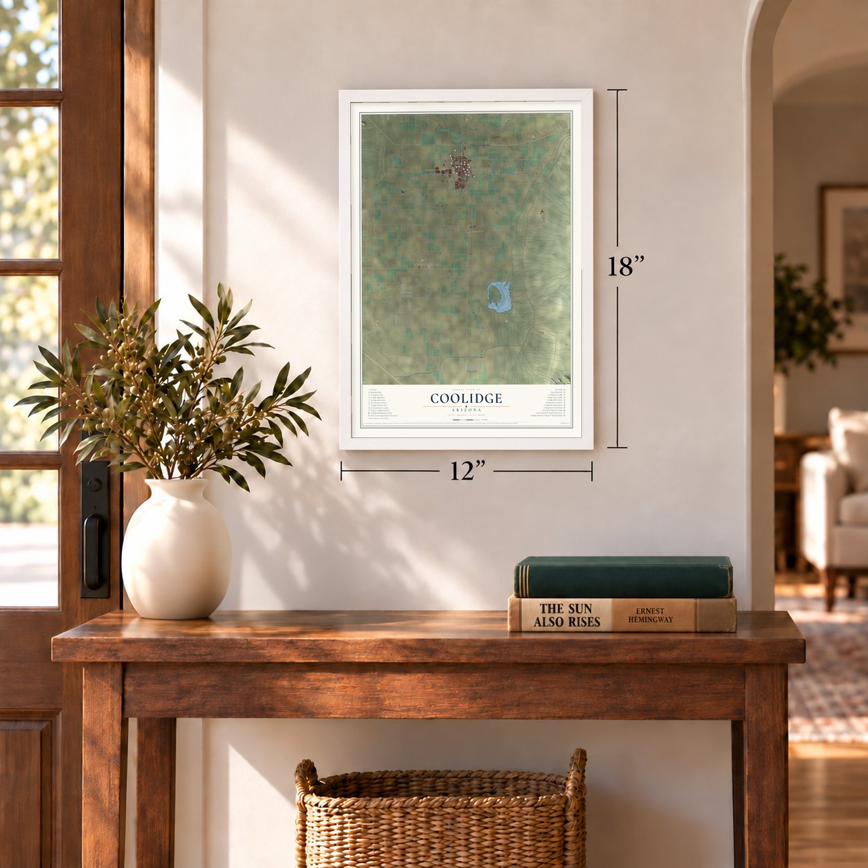
Three ways to hang it
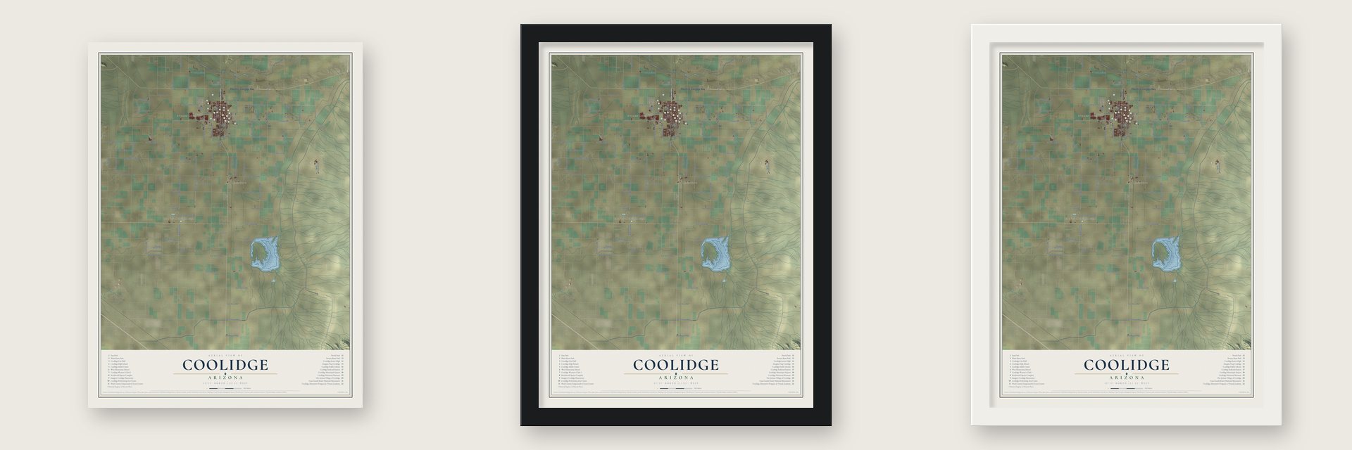
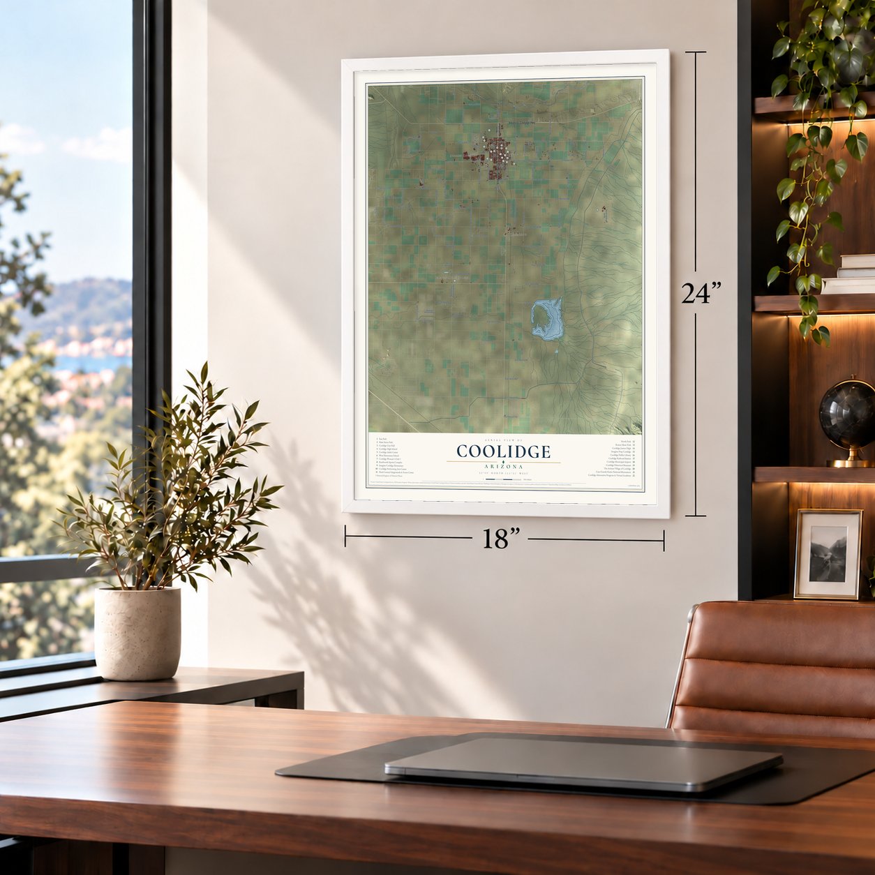
Unframed archival matte, a black wood frame or a white wood frame.
Up close
Geography Worth Displaying
This map was created using accurate cartographic data and authoritative geographic sources, including the U.S. Geological Survey (USGS) and FEMA. The map brings together terrain, waterways, roads, and building detail. The majority of the streets are labeled, houses are accurately depicted, and the topography is derived from government sources. Combining local data with carefully composed color and shading leads to this beautifully detailed Coolidge artwork for your wall.
Rather than simply showing street outlines, we’ve included as many of the street names as we could reasonably fit on the map while keeping their names legible. Zoom in on the high resolution preview to see exactly what’s on the map. We truly set out to create a statement piece for anyone who loves Coolidge. So whether it’s for you, or a gift for someone you love, we hope this map of Coolidge brings back fond memories.
Explore the full map of Coolidge, Arizona and read about the local places it shows.
Find your street
Names on the Coolidge map
Every name below is printed on this map. Look for your street, your school, the park where you played, or the pond down the road.
Places and landmarks4
- City Hall
- Borree Corner
- Eleven Mile Corner
- Randolph
Streets and roads104
- South Arizona Boulevard
- Florence-Coolidge Highway
- North Eleven Mile Corner Road
- East Vah Ki Inn Road
- Coolidge Avenue
- South Ninth Street
- East Kenilworth Road
- East Martin Road
- West Coolidge Avenue
- East Bartlett Road
- East Randolph Road
- North Macrae Road
- North Skousen Road
- East Kleck Road
- Vail Road
- North Tweedy Road
- North Kenworthy Road
- North Sunshine Boulevard
- North Sunshine Road
- North Fast Track Road
- East Storey Road
- North Signal Peak Road
- North Attaway Road
- South La Palma Road
- West McCartney Road
- Cornman Road
- North Nafziger Road
- East Selma Highway
- North Christensen Road
- North Vail Road
Show all 104 streets
- West Vah Ki Inn Road
- North Clemans Road
- West Randolph Road
- West Woodruff Road
- East Windsor Road
- North Curry Road
- West Val Vista Road
- North Wheeler Road
- South Christensen Road
- West Bechtel Road
- East Hanna Road
- North Valley Farms Road
- East Steele Road
- West Bartlett Road
- East Shedd Road
- South Curry Road
- West Selma Highway
- Woodruff Lane
- London Road
- North Kirby Street
- East Arica Road
- South Attaway Road
- East Saddleback Road
- Hiscox Lane
- West Earley Road
- East Mayfield
- East Houser Road
- Toki Road
- Quail Road
- North Arizona Boulevard
- South Picacho Street
- Martin Road
- South Eleven Mile Corner Road
- North Toltec Buttes Road
- East Carmichael Street
- West Lake Powell Drive
- Arizona Western Boulevard
- East Earley Road
- South Third Street
- North Beachcraft Road
- Curry Road
- North Evans Road
- North Kachina Street
- North Fifth Street
- North Kayley Court
- West Wuertz Parkway
- East Flagstaff Road
- North Eighth Place
- West Kleck Road
- West Storey Road
- North Kine Lane
- Bartlett Road
- Flint Road
- West Central Avenue
- West Northern Avenue
- West Martin Road
- Clark Farms Road
- Vah Ki Inn Road
- Canal Road
- West Mid Way Street
- Coolidge Street
- North Red Bronc Lane
- Carter Way
- Sierra Avenue
- Adams Street
- North Wuertz Parkway
- Cross Creek Ranch Boulevard
- East Cactus Forest Road
- West Kenilworth Road
- East Laughlin Road
- Overfield Drive
- North Irma Drive
- Elm Avenue
- 13th Place
Names are listed as they appear on the printed map. Zoom into the product photos to find them.
About Coolidge, Arizona
Coolidge is a city of 13,218 people in Pinal County, 56 miles southeast of Phoenix. In 1925, while crews were building a dam on the Gila River, R.J. Jones platted a townsite of 80 acres here, and the dam and the town were both named for President Calvin Coolidge. The president came to dedicate the dam in 1930.
Water stored by the dam turned the sandy desert soil into rich farmland. Farmers plowed wide stretches of desert and planted cotton, and Coolidge became the center of Arizona's cotton industry. That growth led to its incorporation as a city in 1945. Mining and cotton carried the local economy until the 1950s, and manufacturing, regional trade and services for farm families came later.
- Casa Grande, seen in 1694For more than 1,000 years the Hohokam lived on this ground, farming the Gila Valley with large irrigation works and trading widely until about 1450. They raised a compound of caliche buildings, and the largest was once four stories tall. Father Eusebio Kino reached it in November 1694, the first European to see it, and called it Casa Grande, Spanish for big house. The O'odham name is Sivan Vahki.
- Protected since 1892In 1892 President Benjamin Harrison reserved 480 acres surrounding the ruins, making them the first historic site the federal government ever protected. In 1932 Frederick Law Olmsted Jr. built the roof that still shields the Great House, and from 1937 to 1940 the Civilian Conservation Corps put up adobe offices and housing that the monument still uses.
- The Woman's Club of 1928Finished in 1928 at 240 West Pinkley Avenue, the adobe clubhouse of the Coolidge Woman's Club was the first building in town raised for public use. Phoenix architect C. Lewis Kelley designed it. Many civic groups met inside, and it quickly became the town's social center. It joined the National Register in 1990.
- Heavy trucks since 2019In 2019 Nikola Motor Company purchased 389 acres of land in Coolidge, where it opened a plant to build zero-emission heavy trucks. The factory has the capacity to make 2,500 trucks each year.
Keep exploring Arizona
Coolidge is one of 528 Arizona towns we've mapped. Every dot on the map is a print of its own.
The search covers every state, Arizona first.
Near Coolidge
Order 2 or more town maps and save 10%. Shown in the size and finish you picked above, so they hang as a set.
- Blackwater 12" x 18" / Archival Matte Print $39.99
- Florence 12" x 18" / Archival Matte Print $39.99
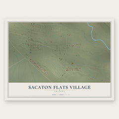
- Sacaton Flats Village 12" x 18" / Archival Matte Print $39.99

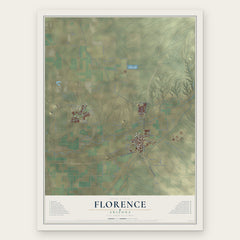
More maps nearby: Cactus Forest, Eloy, Casa Grande, Arizona City and Picacho.
The art of mapping a place
How This Map Was Made
Real places. Remarkable detail. Discover the layers that turn geographic data into a map of home.

The view from above
Aerial imagery reveals the character of the land: woodland, open fields, and the patterns of a place.

The shape of the land
Elevation data brings hills, valleys, and subtle changes in the landscape into view.

The details of home
Roads, waterways, and building footprints come together to make the map feel unmistakably local.

Geography becomes art
Considered color, shading, and typography bring the layers together in a map made for your wall.


Process illustrated with Mendon, Massachusetts. Aerial imagery: USDA NAIP. Terrain: USGS 3D Elevation Program. Map details and finished artwork: KNOWOL.
The Details
About This Print
Choose an archival matte print, or a black or white Ayous wood frame. The archival matte print is unframed.
Select your size and finish above to see the matching product image and price.
Materials & Craftsmanship
A contemporary map with the character of a classic atlas, printed on archival matte paper. Optional frames are made from Ayous wood.
Your printed map does not include the watermark shown in the full-map preview.
Shipping & Delivery
Free shipping within the United States. Every print is made to order in the USA.
Buying a gift? Add a note in your cart and we'll include it. We never put prices in the package.
Prints ship within 2 to 3 business days. Allow 7 to 10 days total from ordering for delivery. Timing may vary during holidays or periods of high order volume.
Read our shipping policy.
Returns and damaged prints
Each print is made to order. Change-of-mind refunds are not available after production.
If your print arrives damaged, misprinted or incorrect, contact support@knowol.com within 30 days of receiving it. Include your order number, photos and a description of the issue.
Read our full refund and replacement policy. For questions about your order, email support@knowol.com.