
Search for another town
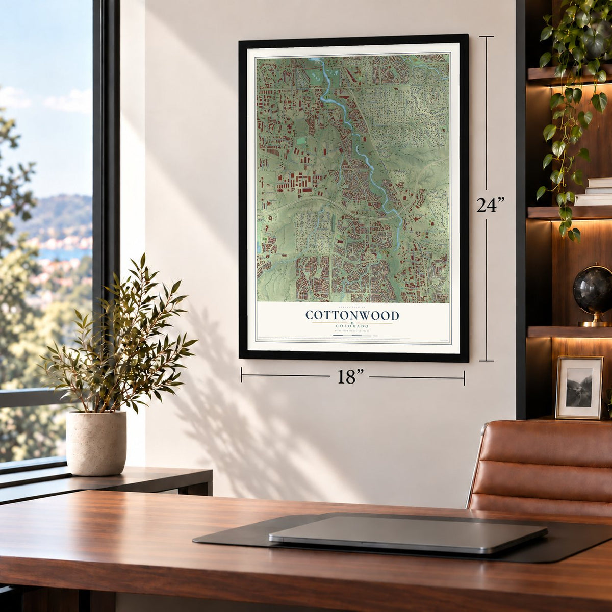
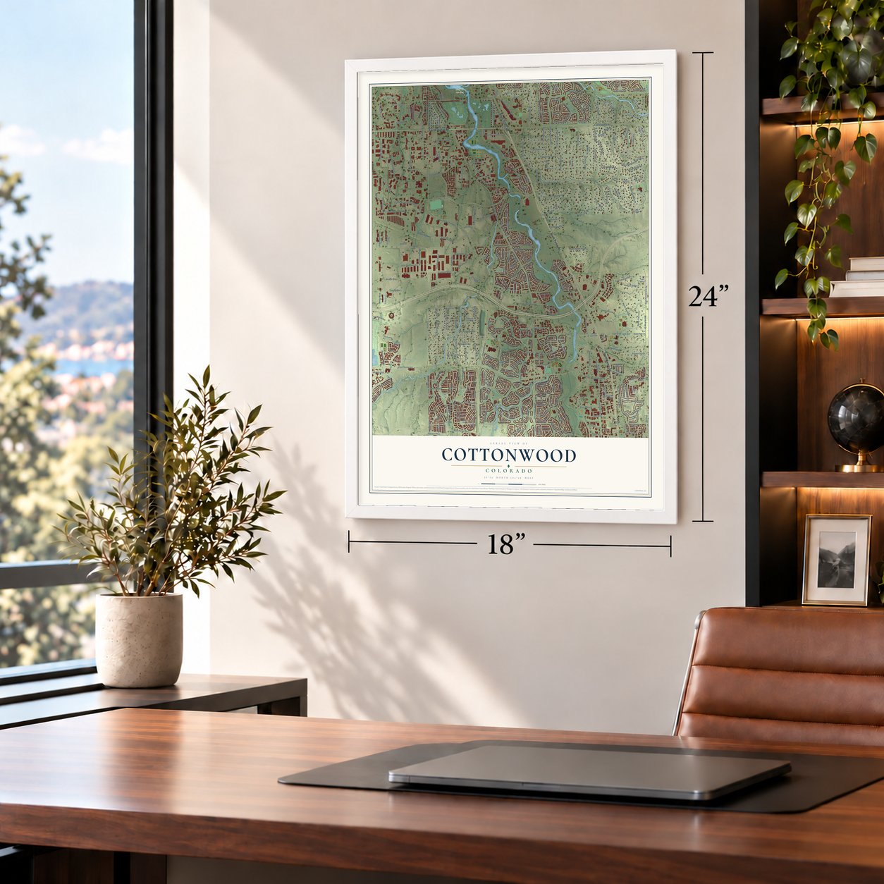
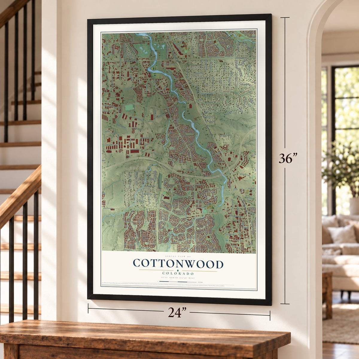
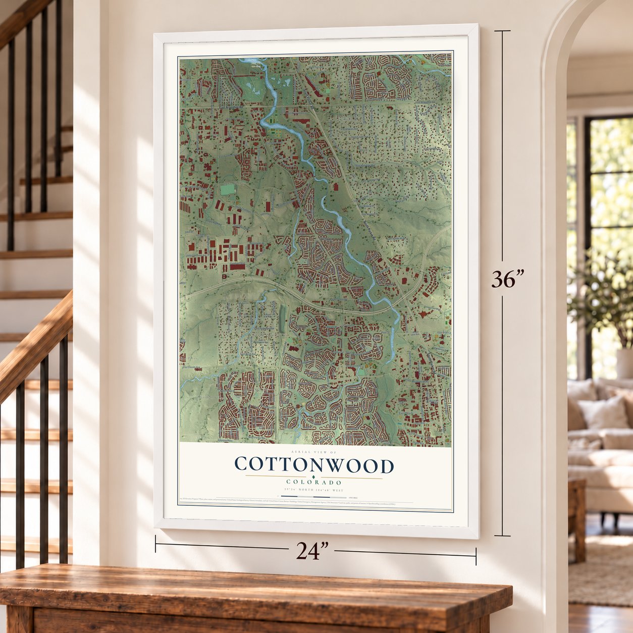
Free U.S. delivery 7 to 10 days after you order
Cottonwood, Colorado Map Art
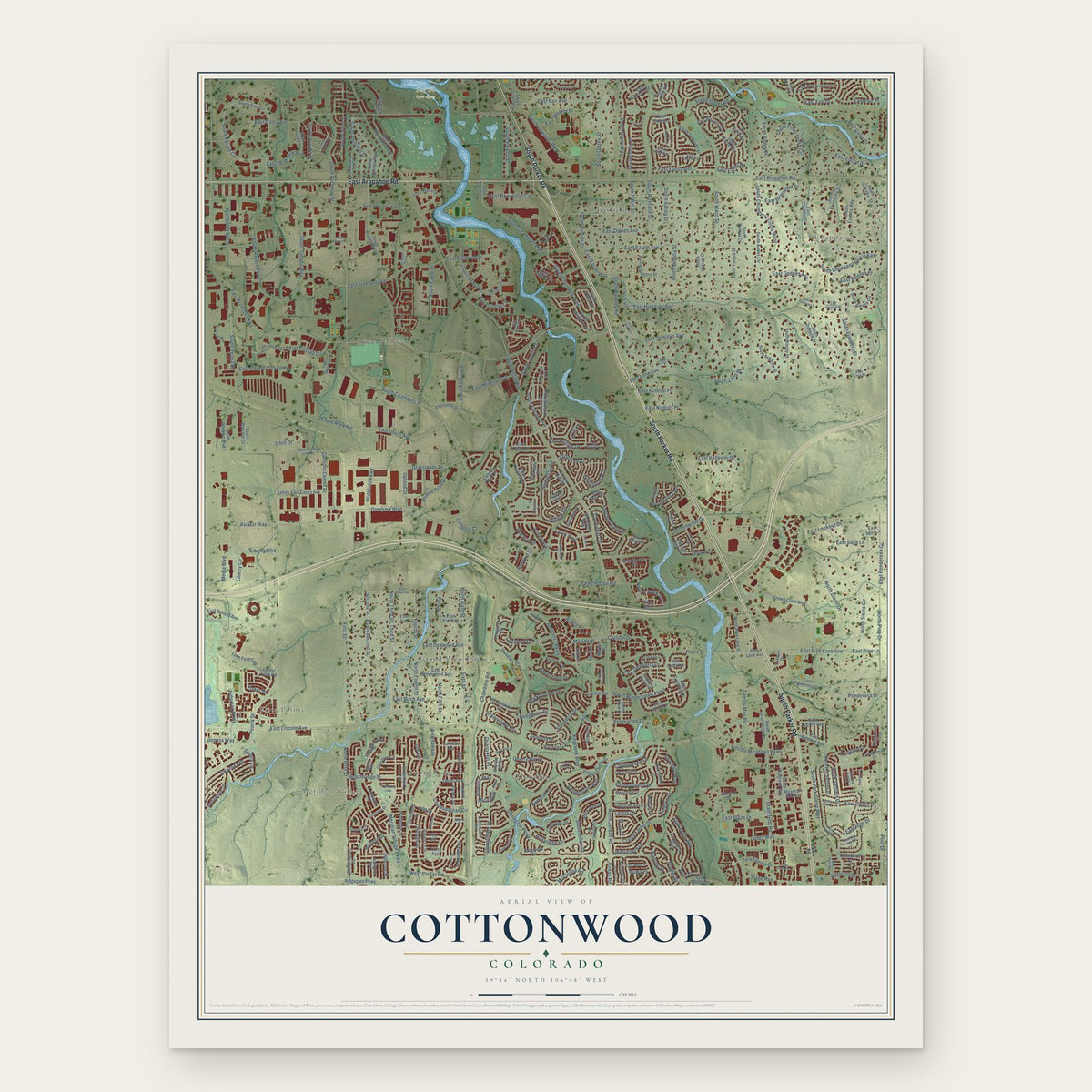
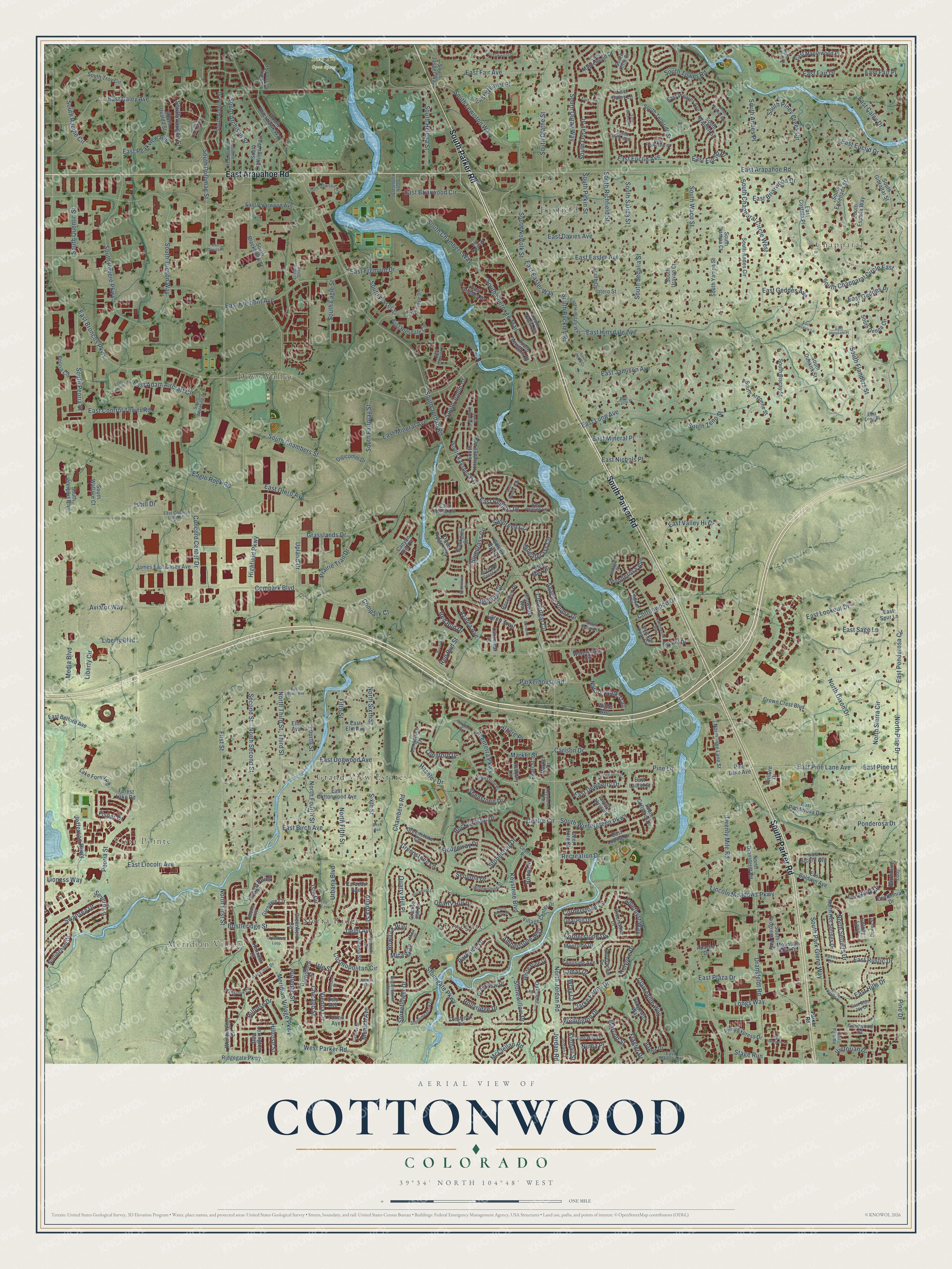
A new map of Cottonwood, Colorado, made in 2026 and printed to order on thick archival matte paper.
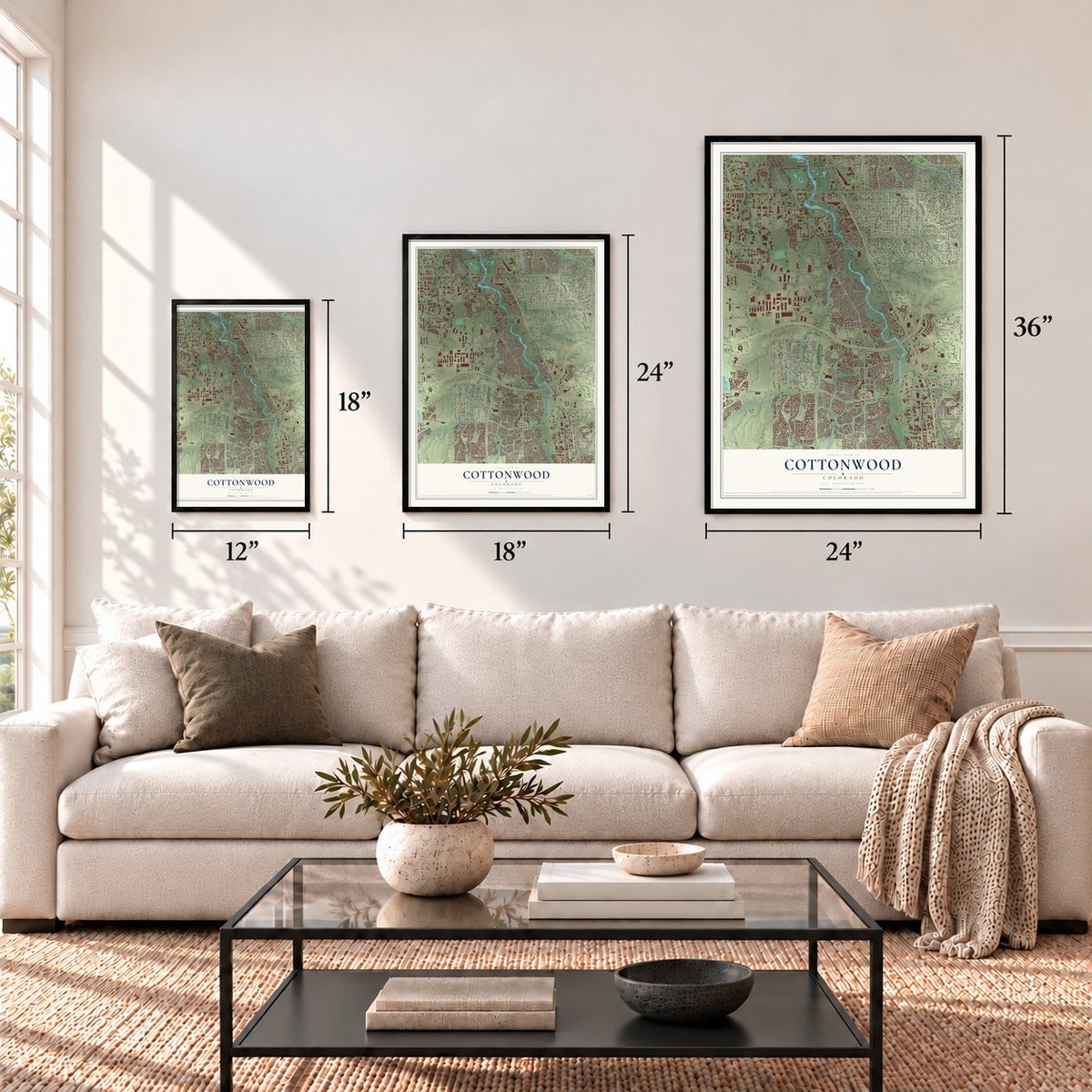
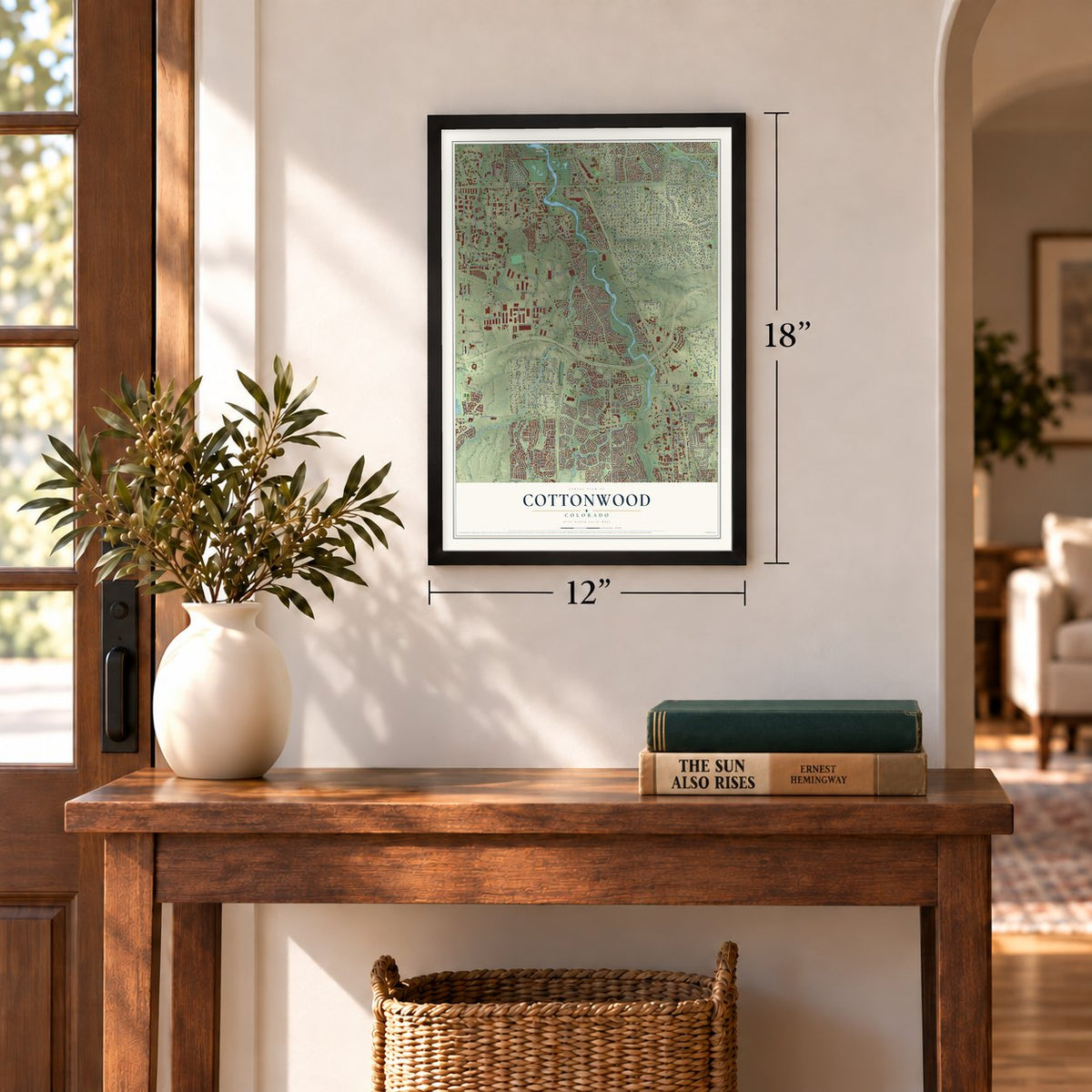
12" x 18" Archival Matte Print
A Map of Home. A Work of Art.
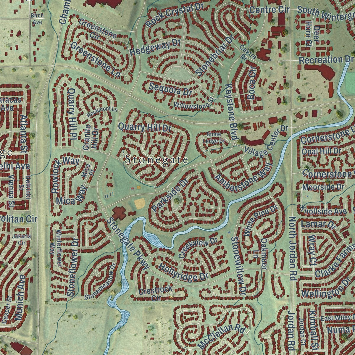
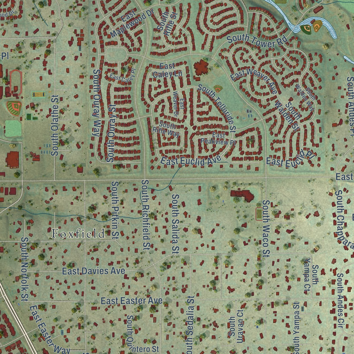
Explore Cottonwood, Colorado from a whole new perspective. Created using aerial imagery and detailed geographic data, this map captures Cottonwood building by building, with labeled streets, familiar landmarks, and shaded topographical relief that highlights the natural contours of the landscape.
Combining modern data with the timeless character of a vintage atlas, this map is just as interesting up close as it is beautiful on the wall. Whether you grew up in Cottonwood, spent memorable years there, or call it home today, this unique map is a great way to celebrate a place that means something to you. Zoom in on the preview to look for your street, and then order a print to put your memories on the wall.
Three ways to hang it
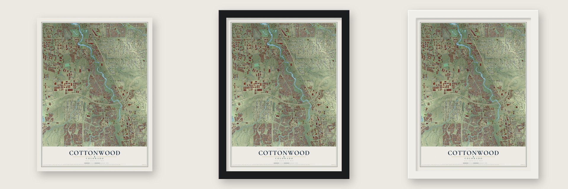
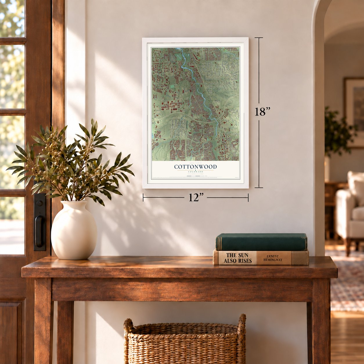
Unframed archival matte, a black wood frame or a white wood frame.
Up close
Geography Worth Displaying
This map was created using accurate cartographic data and authoritative geographic sources, including the U.S. Geological Survey and the Census Bureau. The map brings together terrain, waterways, roads, and building detail. The majority of the streets are labeled, houses are accurately depicted, and the topography is derived from government sources. Combining local data with carefully composed color and shading leads to this beautifully detailed Cottonwood artwork for your wall.
Rather than simply showing street outlines, we’ve included as many of the street names as we could reasonably fit on the map while keeping their names legible. Zoom in on the high resolution preview to see exactly what’s on the map. We truly set out to create a statement piece for anyone who loves Cottonwood. So whether it’s for you, or a gift for someone you love, we hope this map of Cottonwood brings back fond memories.
Read the story behind this map: Detailed Map of Cottonwood, Colorado.

Find your street
Names on the Cottonwood map
Every name below is printed on this map. Look for your street, your school, the park where you played, or the pond down the road.
Places and landmarks9
- Chapparal
- Meridian Village
- Vista Pointe
- Bow Tie Open Space
- Dove Valley
- Stonegate
- Foxfield
- Grand View Estates
- Sierra Ridge
Streets and roads380
- South Parker Road
- East Arapahoe Road
- East Otero Avenue
- Longs Way
- East Pine Lane
- East Pine Lane Avenue
- South Norfolk Street
- East Phillips Drive
- Pine Lane
- Lincoln Meadows Parkway
- Compark Boulevard
- South Sedalia Street
- Ponderosa Drive
- North Third Street
- Recreation Drive
- Centre Circle
- Lamar Drive
- East Lincoln Avenue
- South Jordan Road
- North Jordan Road
- Chambers Road
- East Broncos Parkway
- Cottonwood Drive
- South Potomac Street
- Stonegate Parkway
- Peoria Street
- East Long Avenue
- East Caley Avenue
- South Peoria Street
- North Pine Drive
Show all 380 streets
- Twenty Mile Road
- East Hinsdale Avenue
- East Easter Avenue
- South Chapparal Circle East
- South Buckley Road
- South Richfield Street
- East Peakview Avenue
- Dransfeldt Road
- Keystone Boulevard
- South Waco Street
- North First Street
- South Revere Parkway
- East Fremont Avenue
- East Davies Avenue
- Meridian Village Parkway
- East Jamison Avenue
- Pine Drive
- Clarke Farms Drive
- East Euclid Drive
- East Fair Place
- South Piney Creek Circle
- South Chapparal Circle West
- East Lookout Drive
- North Sixth Street
- Sixth Street
- North Fifth Street
- Quarry Hill Drive
- East Dogwood Avenue
- East Birch Avenue
- Vienna Circle
- North Second Street
- Apache Plume Drive
- East Caley Drive
- Chicago Street
- North Fourth Street
- Bristleridge Street
- South Chambers Street
- First Street
- South Flanders Street
- East Fair Avenue
- South Tucson Way
- Aventerra Parkway
- South Atchison Street
- Grasslands Drive
- South Lewiston Way
- Parkside Drive
- East Briarwood Circle
- South Chambers Way
- East Weaver Place
- North Dixon Drive
- South Cherokee Trail
- South Olathe Street
- Liberty Boulevard
- Media Boulevard
- South Park Glenn Way
- Cosmopolitan Circle
- East Plaza Drive
- South Wintergreen Parkway
- South Racine Circle
- Bluegrass Circle
- Market Street
- Isle Street
- North Sierra Circle
- South Ouray Way
- South Ouray Street
- East Control Tower Road
- South Fraser Street
- Munich Avenue
- South Tower Road
- South Fairplay Street
- East Geddes Place
- Azalea Avenue
- Quarry Hill Place
- East Adam Aircraft Circle
- East Valley Hi Drive
- Cornerstone Lane
- East Euclid Place
- East Fremont Drive
- Concord Center Drive
- Stonewillow Drive
- South Helena Street
- East Fair Drive
- Stonebriar Drive
- East Geddes Avenue
- South Zeno Street
- West Parker Road
- Liberty Circle
- Clarkeville Way
- Hillrose Street
- South Eagle Street
- Boca Circle
- Cloverleaf Circle
- Isbill Drive
- East Briarwood Drive
- South Vaughn Street
- Shenstone Drive
- Stoneflower Drive
- Parkerhouse Road
- East Rustic Drive
- Rutledge Street
- Urbana Boulevard
- Sandreed Circle
- Wheatgrass Circle
- East Hills Drive
- Hedgeway Drive
- Fifth Street
- Prairie Trail Drive
- East Mineral Avenue
- Swansea Drive
- Atlanta Street
- Stage Run
- Third Street
- East Dewberry Drive
- Red Bud Drive
- Isle Circle
- Second Street
- Fourth Street
- Amberstone Way
- Greenstone Lane
- Alzere Place
- East Sage Lane
- Carlson Drive
- Cornerstone Drive
- Wellington Drive
- Flagler Drive
- Mica Way
- East Nichols Place
- East Mineral Place
- South Quentin Street
- Longpark Drive
- Hillrose Drive
- McClellan Road
- East Easter Way
- North Settlers Drive
- Rock Crystal Drive
- South Salida Street
- Wildrye Circle
- South Joplin Court
- East Ponderosa Circle
- Upland Drive
- Fisher Drive
- Jordan Road
- Nature Walk Trail
- Lioness Way
- Delhi Avenue
- East Euclid Avenue
- Victorian Drive
- Jefferson Parkway
- Eagle Rock Road
- South Pitkin Street
- Highfield Parkway
- Rowlock Way
- South Andes Place
- Hollyridge Drive
- Severn Lane
- Amethyst Way
- Longford Drive
- Aviator Way
- Ponderosa Avenue
- Marcott Street
- Larch Trail
- Hough Point
- Red Bud Street
- Sequoia Drive
- Kimball Street
- Holyoke Drive
- Haseley Drive
- Wray Court
- Compark Court
- Numa Place
- South Telluride Street
- South Kalispell Way
- Barrentine Loop
- North Pine Lane Street
- Pine Lane Avenue
- Greenfield Circle
- Pony Express Drive
- South Nucla Street
- East Ponderosa Drive
- East Belford Avenue
- East Baldwin Avenue
- Snowbird Way
- East Caley Lane
- East Briarwood Avenue
- North Dransfeldt Road
- Ridgegate Parkway
- South Espana Way
- Crown Crest Boulevard
- South Blackhawk Street
- South Yampa Street
- East Cottonwood Avenue
- East Elm Avenue
- East Maplewood Place
- East Maplewood Drive
- Dove Ridge Way
- East Weaver Avenue
- South Troy Circle
- South Billings Way
- Worthington Circle
- Colony Loop
- East Otero Circle
- South Gibraltar Street
- South Uravan Court
- South Andes Circle
- South Ensenada Street
- Riverstone Drive
- Longstone Drive
- South Abilene Street
- South Argonne Street
- Granite Hill Drive
- Greenstone Circle
- South Biscay Street
- North Hot Springs Drive
- South Blackhawk Way
- East Hinsdale Circle
- James East Casey Avenue
- East Costilla Place
- South Coltsfoot Drive
- Severance Drive
- South Carson Street
- South Jasper Way
- Crestrock Circle
- South Dunkirk Street
- Wilde Avenue
- South Rifle Street
- Peoria Circle
- Nottingham Drive
- Glenayre Circle
- South Quintero Street
- South Memphis Street
- Lexington Way
- Knollside Avenue
- Blue Mist Circle
- Opal Hill Drive
- South Kittredge Way
- Creekview Drive
- Prickly Pear Circle
- Village Center Drive
- South Walden Street
- Mountain Man Drive
- South Progress Way
- Kenneth Drive
- Waterhouse Circle
- Rosewood Court
- South Genoa Circle
- Sedgewick Way
- East Lupine Drive
- South Interport Boulevard
- Elm Avenue
- Oakmoor Lane
- Aspen Circle
- Lake Forest Road
- South Uvalda Street
- Pearl Street
- White Pine Drive
- Golden Eye Drive
- Lanceleaf Street
- South Yampa Court
- South Wallace Court
- East Geddes Drive
- Vienna Street
- Rosebud Place
- Moorside Drive
- Digicomm Drive
- Blackgum Street
- Market Drive
- Centennial Drive
- Harrisburg Street
- Ashbury Lane
- Canyon Rim Circle
- Baxter Drive
- East Alcorn Avenue
- Becket Drive
- Caracas Avenue
- Forest Lake Road
- Torino Avenue
- Deer Horn Court
- Venture Drive
- South Alyssum
- Oslo Avenue
- East Laurel Street
- East Spur Lane
- Apache Drive
- East Phillips Lane
- Ashgrove Circle
- East Peakview Place
- Stonemeadow Drive
- East Mainstreet
- East Hinsdale Drive
- Nadine Avenue
- South Dawson Circle
- South Abilene Way
- East County Line Road
- Mica Place
- South Rifle Way
- East Hinsdale Way
- Rustic Drive
- Willowstone Street
- Casper Street
- Hawkstone Place
- Winterflower Way
- East Wiley Place
- Jordan Court
- South Wheeling Court
- Centre Drive
- Ashgrove Drive
- East Blue Jay Drive
- South Hannibal Street
- Keystone Trail
- Orchard Grass Lane
- Dewey Street
- Willows Place
- Ball Park Road
- Helsinki Street
- Silver Mound Lane
- East Long Place
- Parker Road
- South Xanadu Way
- South Walden Way
- North Donley Drive
- Cottonwood Way
- East Weaver Drive
- East Caley Place
- East Filbert Avenue
- Butterwort Circle
- Birch Run Lane
- Greenfield Loop
- Branham Drive
- East Davies Place
- East Briargate Lane
- East Hinsdale Place
- Stone Ledge Drive
- South Pitkin Court
- East Jamison Place
- East Dewberry Circle
- East Oakwood Drive
- East Hinsdale Lane
- Jakarta Circle
- East Davies Drive
- South Kittredge Circle
- Rockmont Lane
- East Kettle Place
- South Mobile Way
- East Jamison Court
- Konstanz Street
- South Dillon Court
- South Cathay Court
- Concolor Lane
- Isle Lane
- Birch Avenue
Names are listed as they appear on the printed map. Zoom into the product photos to find them.
The art of mapping a place
How This Map Was Made
Real places. Remarkable detail. Discover the layers that turn geographic data into a map of home.

The view from above
Aerial imagery reveals the character of the land: woodland, open fields, and the patterns of a place.

The shape of the land
Elevation data brings hills, valleys, and subtle changes in the landscape into view.

The details of home
Roads, waterways, and building footprints come together to make the map feel unmistakably local.

Geography becomes art
Considered color, shading, and typography bring the layers together in a map made for your wall.


Process illustrated with Mendon, Massachusetts. Aerial imagery: USDA NAIP. Terrain: USGS 3D Elevation Program. Map details and finished artwork: KNOWOL.
The Details
About This Print
Choose an archival matte print, or a black or white Ayous wood frame. The archival matte print is unframed.
Select your size and finish above to see the matching product image and price.
Materials & Craftsmanship
A contemporary map with the character of a classic atlas, printed on archival matte paper. Optional frames are made from Ayous wood.
Your printed map does not include the watermark shown in the full-map preview.
Shipping & Delivery
Free shipping within the United States. Every print is made to order in the USA.
Buying a gift? Add a note in your cart and we'll include it. We never put prices in the package.
Prints ship within 2 to 3 business days. Allow 7 to 10 days total from ordering for delivery. Timing may vary during holidays or periods of high order volume.
Read our shipping policy.
Returns and damaged prints
Each print is made to order. Change-of-mind refunds are not available after production.
If your print arrives damaged, misprinted or incorrect, contact support@knowol.com within 30 days of receiving it. Include your order number, photos and a description of the issue.
Read our full refund and replacement policy. For questions about your order, email support@knowol.com.
Find your town
Looking for another city?
Find a map of home in our Colorado collection, or any town in the country.
Nearby
Maps of towns near Cottonwood
Know someone from one of these towns? Their map makes a great gift.
 Grand View Estates
, Colorado
From $39.99See the map
 Dove Valley
, Colorado
From $39.99See the map
 Foxfield
, Colorado
From $39.99See the map
More maps nearby: Stonegate, Sierra Ridge, Meridian Village, Meridian and Stepping Stone.