
Search for another town
Free U.S. delivery 7 to 10 days after you order
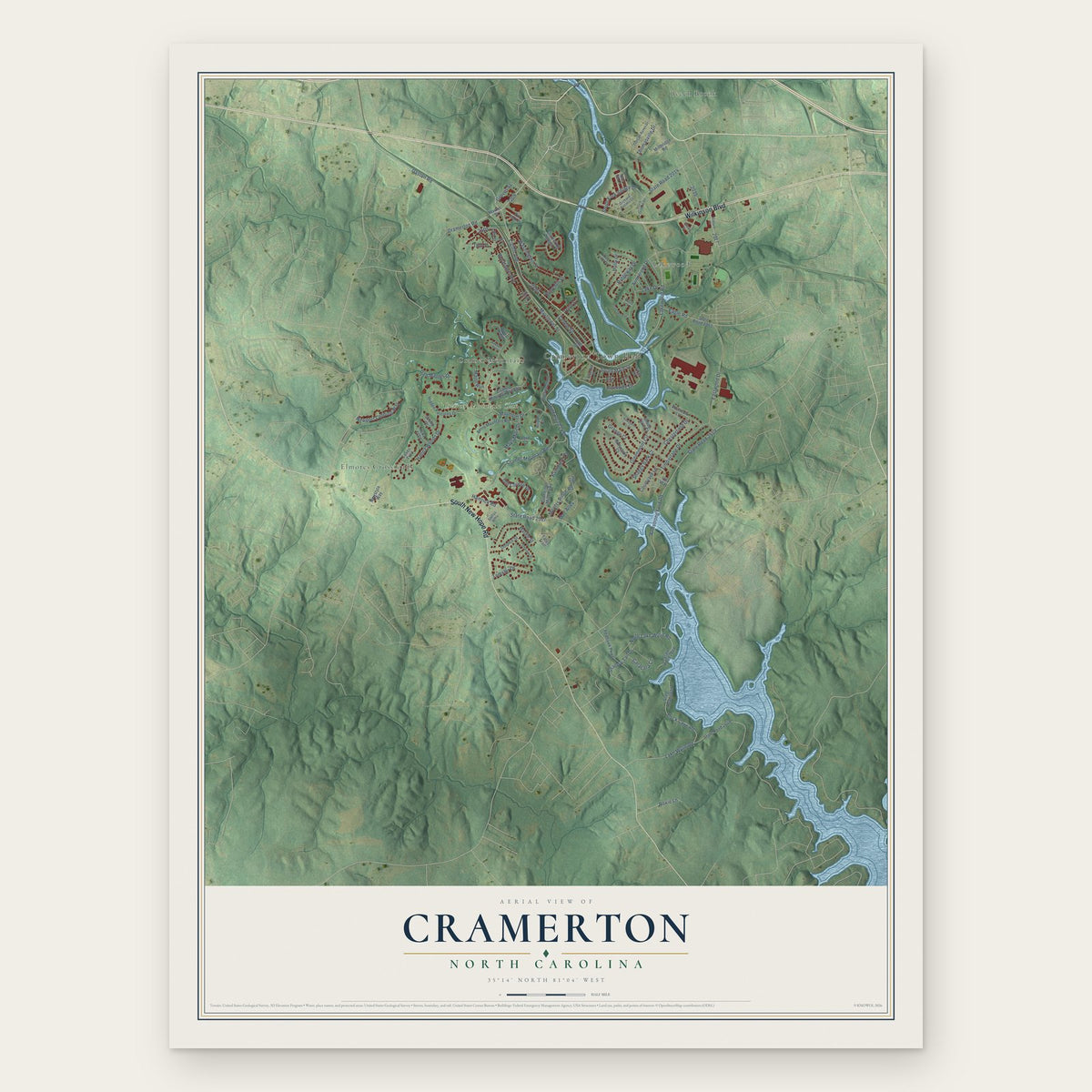
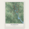
Cramerton, North Carolina Map Art
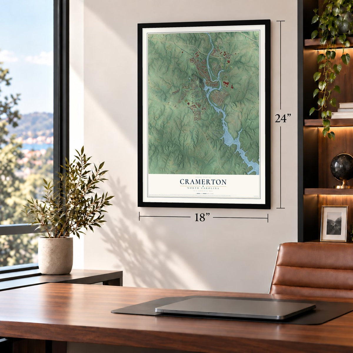
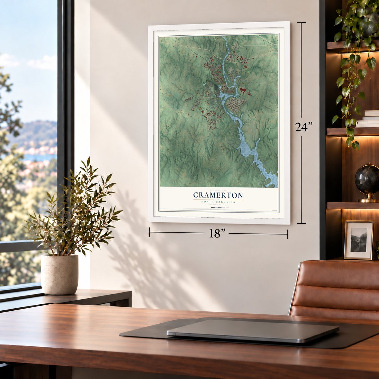
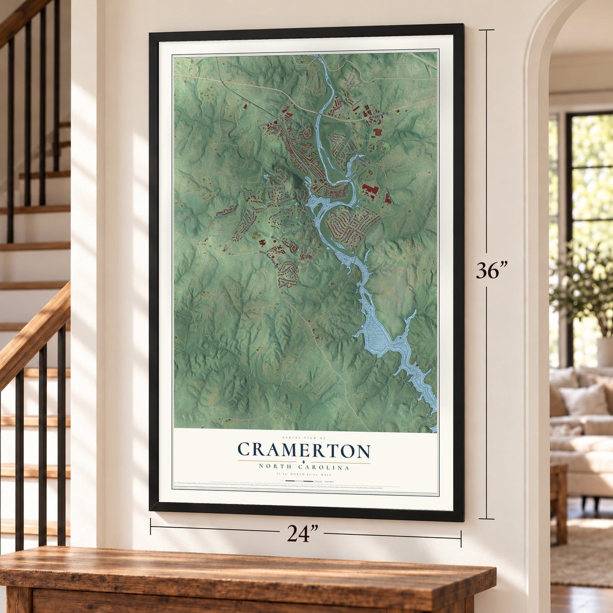
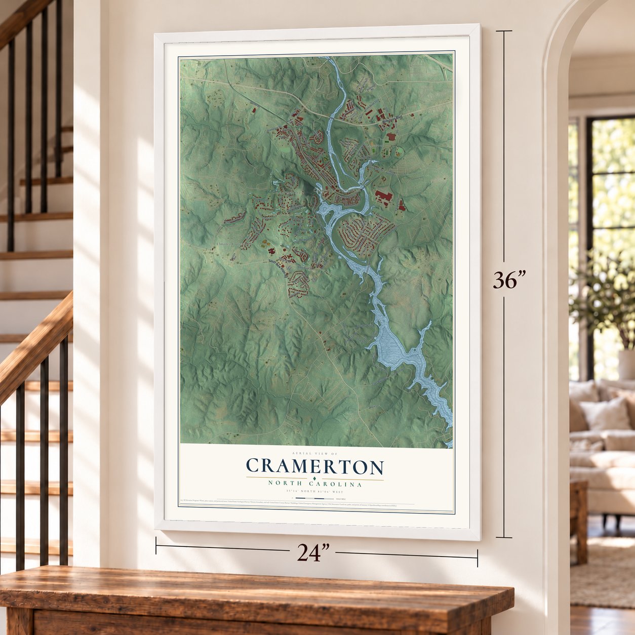
Building by building, with labeled streets and shaded relief.
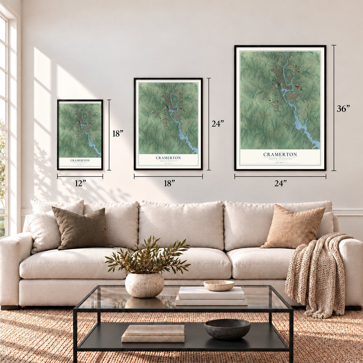
12" x 18" Archival Matte Print
A Map of Home. A Work of Art.
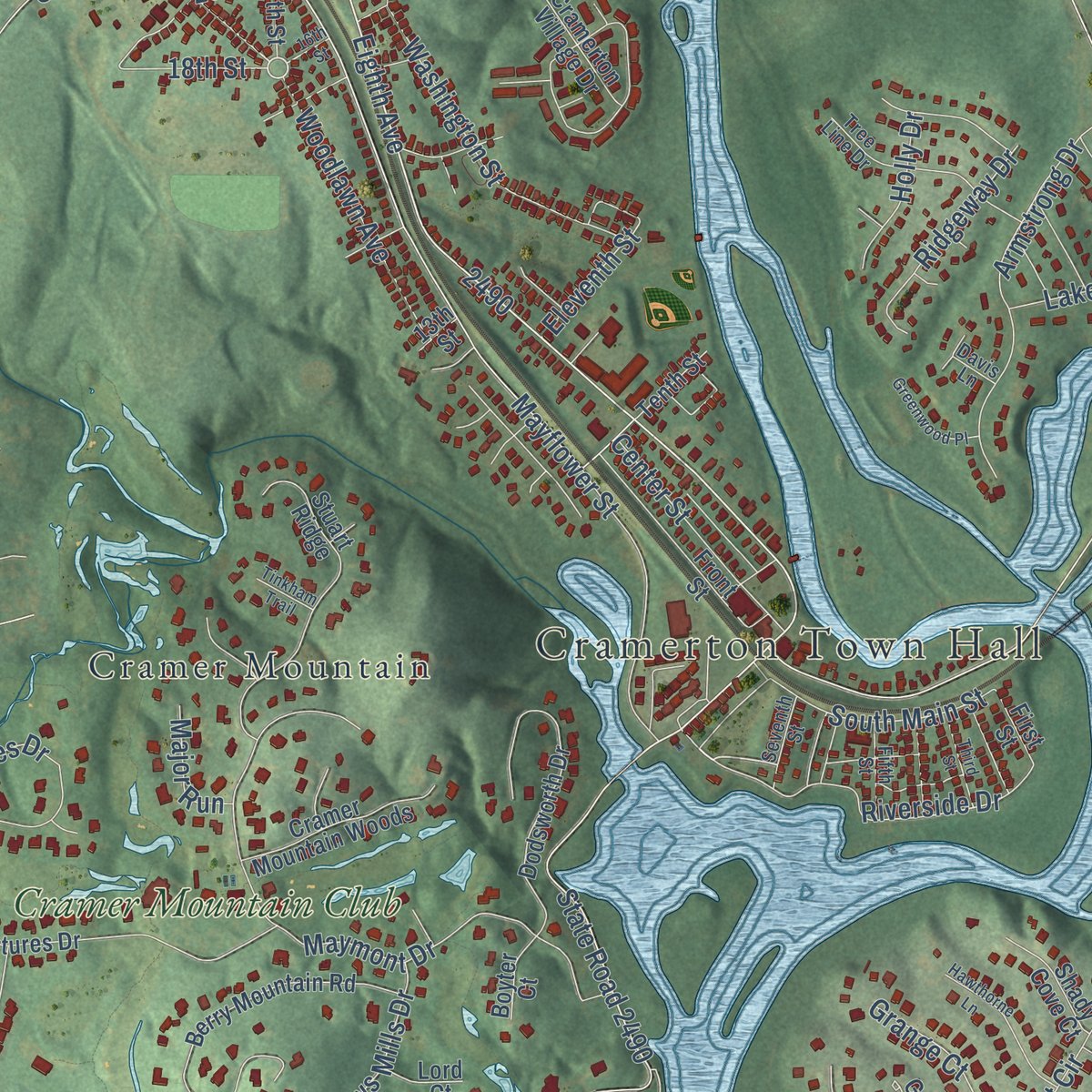
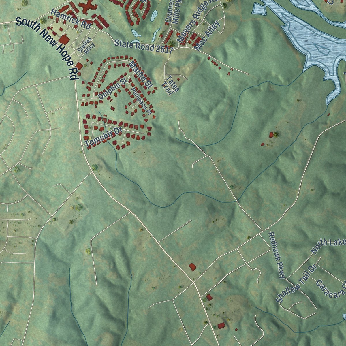
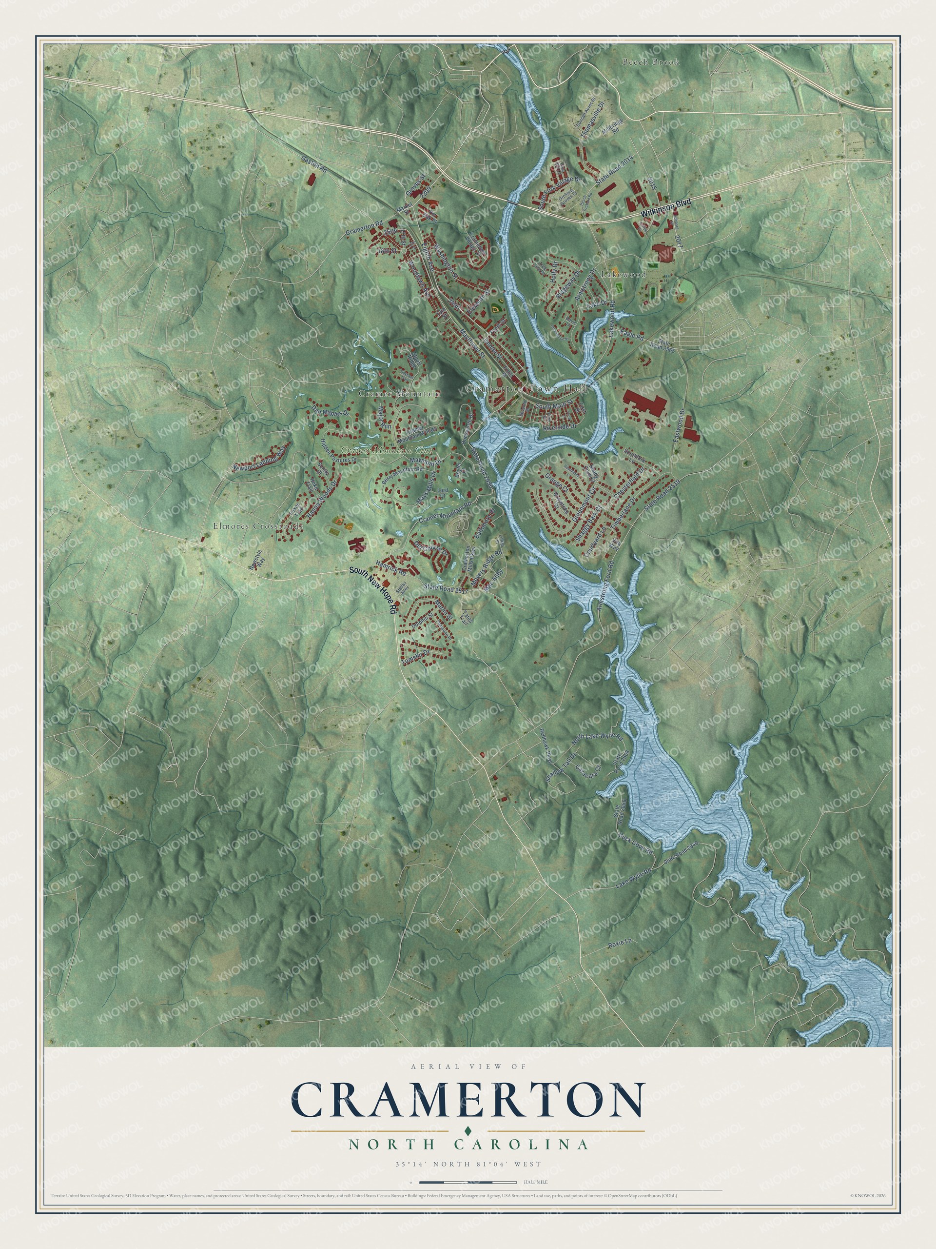
Explore Cramerton, North Carolina from a whole new perspective. Created using aerial imagery and detailed geographic data, this map captures Cramerton building by building, with labeled streets, familiar landmarks, and shaded topographical relief that highlights the natural contours of the landscape.
Combining modern data with the timeless character of a vintage atlas, this map is just as interesting up close as it is beautiful on the wall. Whether you grew up in Cramerton, spent memorable years there, or call it home today, this unique map is a great way to celebrate a place that means something to you. Zoom in on the preview to look for your street, and then order a print to put your memories on the wall.
Three ways to hang it
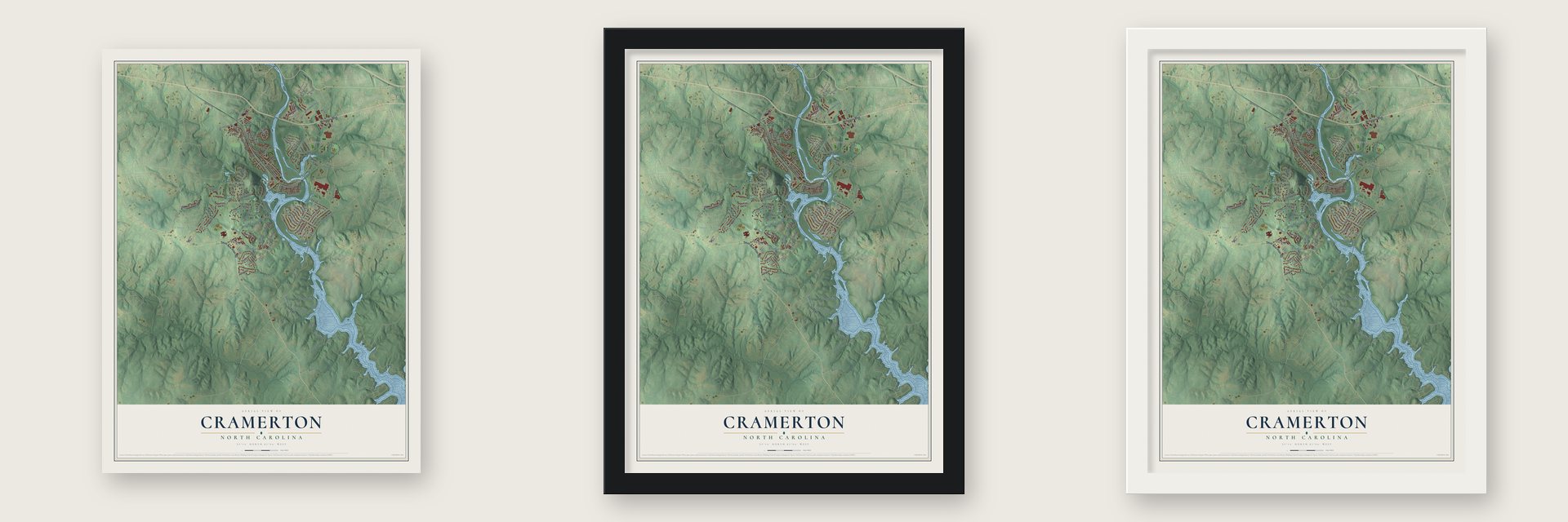
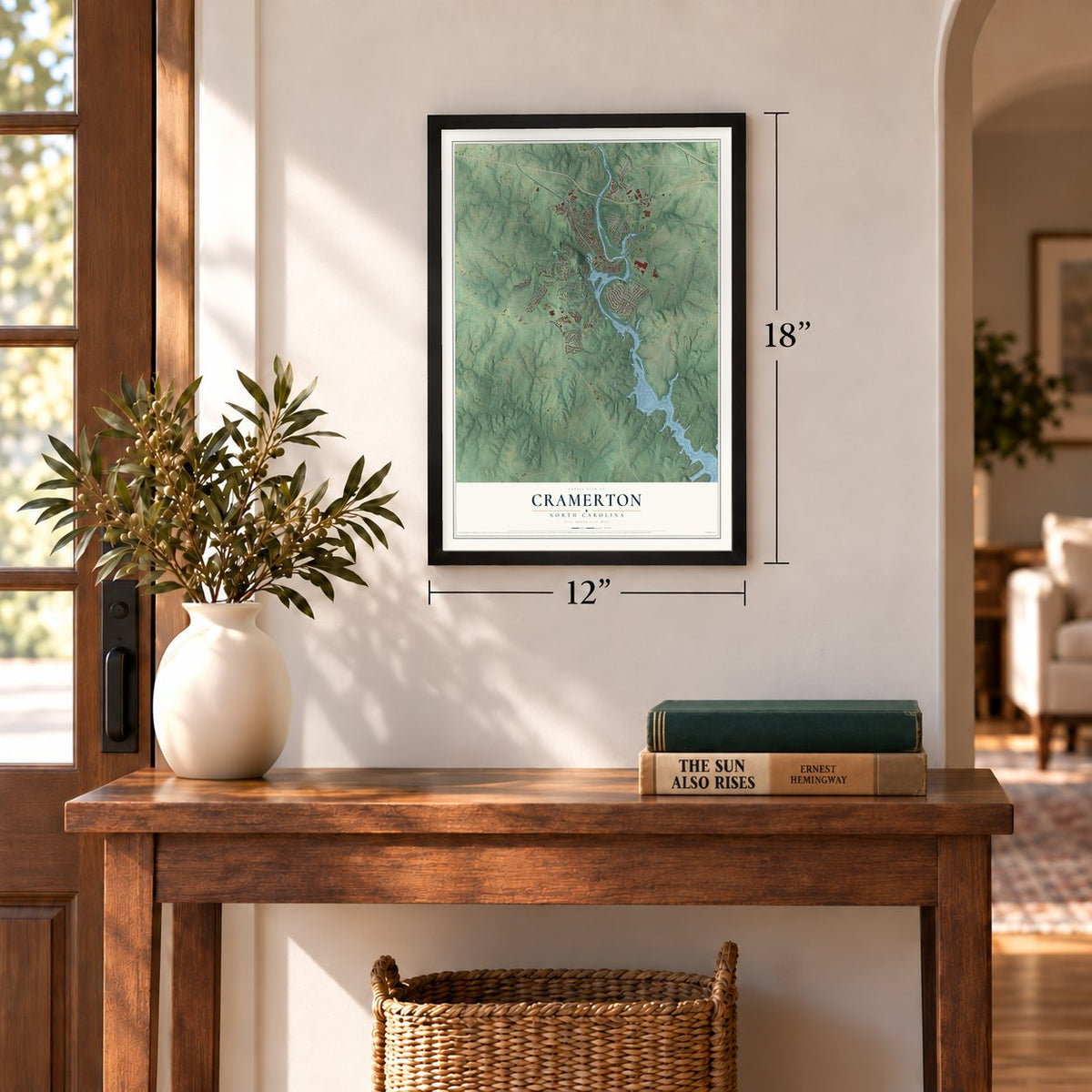
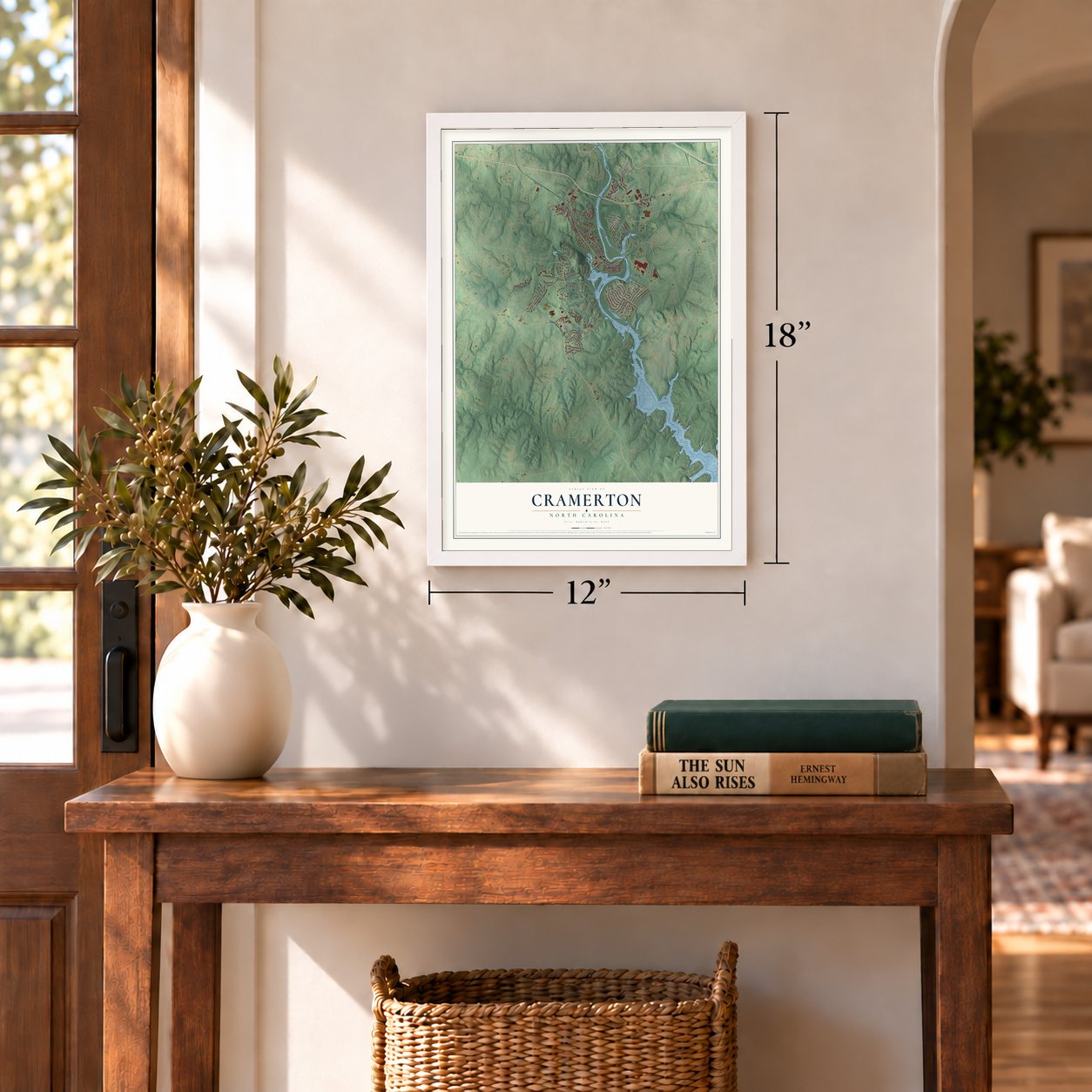
Unframed archival matte, a black wood frame or a white wood frame.
Up close
Geography Worth Displaying
This map was created using accurate cartographic data and authoritative geographic sources, including the U.S. Geological Survey and the Census Bureau. The map brings together terrain, waterways, roads, and building detail. The majority of the streets are labeled, houses are accurately depicted, and the topography is derived from government sources. Combining local data with carefully composed color and shading leads to this beautifully detailed Cramerton artwork for your wall.
Rather than simply showing street outlines, we’ve included as many of the street names as we could reasonably fit on the map while keeping their names legible. Zoom in on the high resolution preview to see exactly what’s on the map. We truly set out to create a statement piece for anyone who loves Cramerton. So whether it’s for you, or a gift for someone you love, we hope this map of Cramerton brings back fond memories.
Read the story behind this map of Cramerton, North Carolina from 2026.
Find your street
Names on the Cramerton map
Every name below is printed on this map. Look for your street, your school, the park where you played, or the pond down the road.
Places and landmarks6
- Cramerton Town Hall
- Elmores Crossroads
- Beech Brook
- Lakewood
- Cramer Mountain
- Cramer Mountain Club
Streets and roads104
- Wilkinson Boulevard
- South New Hope Road
- Gaston Road
- Eighth Avenue
- Woodlawn Avenue
- Lake Wylie Road
- State Road 2014
- Armstrong Ford Road
- State Road 2519
- Mayflower Street
- Cramer Mountain Road
- State Road 2490
- Maymont Drive
- Lakewood Road
- Hamrick Road
- State Road 2517
- Eastwood Drive
- Greenmont Circle
- North Lake Wylie Road
- Armstrong Drive
- Duck Cove Road
- Riverside Drive
- Thomasville Drive
- Washington Street
- Hanna Woods Drive
- Timberlane Drive
- Shallow Tail Drive
- Courtyard Lane
- Eagle Road
- South Fork Village Drive
Show all 104 streets
- Mays Mills Drive
- Marlin Street
- Baltimore Drive
- Newport Landing Way
- South Main Street
- Center Street
- Chesterfield Drive
- Cramerton Road
- Old Course Drive
- Ridgeway Drive
- Meyers Ridge Road
- Grange Court
- Shaggy Bark Court
- Tomshir Drive
- Caracara Court
- Groves Street
- Dan Maples Drive
- Holly Drive
- Eleventh Street
- 18th Street
- Lake Drive
- Major Run
- Mac Alley
- Roxie Lane
- Market Street
- State Road 2849
- Hidden Pastures Drive
- Berry Mountain Road
- State Road 2858
- State Road 2668
- Dodsworth Drive
- Stuart Ridge
- Cramerton Village Drive
- Cramerton Mills Parkway
- Redhawk Parkway
- State Road 2565
- Front Street
- Dolphin Street
- Southfork Lane
- Cramer Mountain Woods
- Foxes Trail
- Tenth Street
- Greystoke Court
- Tates Trail
- Shady Cove Court
- Millbridge Road
- Newstyle Way
- Scotty Court
- Vita Way
- Hoke Trail
- Pin Oak Place
- Boyter Court
- First Street
- Lord Court
- 17th Street
- 13th Street
- Seventh Street
- Orchard Groves Court
- Tree Line Drive
- Lillian Street
- Duncan Acres Drive
- Pompano Place
- Stellas Alley
- Fifth Street
- Davis Lane
- Blue Gill Lane
- Peach Orchard Road
- Haven Circle
- Hubbard Street
- Hawthorne Lane
- Greenwood Place
- Third Street
- Tinkham Trail
- 16th Street
Names are listed as they appear on the printed map. Zoom into the product photos to find them.
About Cramerton, North Carolina
Cramerton is a town of 5,296 people in Gaston County, on the South Fork of the Catawba River, which loops through the middle of town in a tight S-shaped bend. J.H. Mayes founded it in 1906 under the name Mayesworth, when he built a spinning mill on the riverbank. In 1910 Stuart Warren Cramer, a textile engineer born in Thomasville, took over as owner and president of the mill and its land, and he turned the mill and its neighborhood into a model mill village.
Cramer renamed the town Cramerton in 1921 and the mill Cramerton Mills a year later, in 1922. He added the Mayflower Weave Mill in 1923. In 1946 the mills and houses were sold to Burlington Industries, which then sold the houses to the families living in them. The town incorporated in 1967 and began running its own services.
- He named air conditioningFrom 1895 to 1915, Cramer is said to have designed and outfitted roughly one-third of the new cotton mills built across the South. Among his many patents was the Cramer System of Air Conditioning, which kept temperature and humidity in check on its own. His main goal was to clear lint from the mill air, not to cool it, and he is credited with coining the term "air conditioning" itself.
- Two churches built in 1921In 1921 Cramer put up the church buildings for the Methodist church, first called Mayworth Methodist Church, and for First Baptist Church. First Baptist, at 235 Eighth Avenue, was later used to film two scenes of Talladega Nights: The Ballad of Ricky Bobby, the Will Ferrell comedy released in 2004. Across the street, at 236 Eighth Avenue, Mayworth School joined the National Register in 2002.
- Golf on Cramer MountainCramer supported golf in his town, and Cramerton has had three golf courses over the years. He built a fourth on Cramer Mountain, which rises in the southwest part of town. That course, designed by Dan Maples, is still played today, with homes set around its 18 holes at the private Cramer Mountain Club.
- Burlington Industries closed in 2001Textiles carried Cramerton's economy for most of a century. Burlington Industries, which ran the old Cramerton Mills, went bankrupt in 2001, and the dye and finishing plants of Eagle Mountain Finishers and Lakewood Dyed Yarns closed in 2006 and 2007. Since the 2008 financial crisis the downtown has grown again, around Centennial Park and Goat Island Park, which is reached by two footbridges.
Keep exploring North Carolina
Cramerton is one of 952 North Carolina towns we've mapped. Every dot on the map is a print of its own.
The search covers every state, North Carolina first.
Near Cramerton
Order 2 or more town maps and save 10%. Shown in the size and finish you picked above, so they hang as a set.
- Belmont 12" x 18" / Archival Matte Print $39.99
- McAdenville 12" x 18" / Archival Matte Print $39.99
- Lowell 12" x 18" / Archival Matte Print $39.99
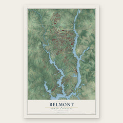
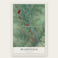
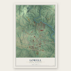
More maps nearby: North Belmont, Ranlo, Springdale, Spencer Mountain and Berryhill.
The art of mapping a place
How This Map Was Made
Real places. Remarkable detail. Discover the layers that turn geographic data into a map of home.

The view from above
Aerial imagery reveals the character of the land: woodland, open fields, and the patterns of a place.

The shape of the land
Elevation data brings hills, valleys, and subtle changes in the landscape into view.

The details of home
Roads, waterways, and building footprints come together to make the map feel unmistakably local.

Geography becomes art
Considered color, shading, and typography bring the layers together in a map made for your wall.


Process illustrated with Mendon, Massachusetts. Aerial imagery: USDA NAIP. Terrain: USGS 3D Elevation Program. Map details and finished artwork: KNOWOL.
The Details
About This Print
Choose an archival matte print, or a black or white Ayous wood frame. The archival matte print is unframed.
Select your size and finish above to see the matching product image and price.
Materials & Craftsmanship
A contemporary map with the character of a classic atlas, printed on archival matte paper. Optional frames are made from Ayous wood.
Your printed map does not include the watermark shown in the full-map preview.
Shipping & Delivery
Free shipping within the United States. Every print is made to order in the USA.
Buying a gift? Add a note in your cart and we'll include it. We never put prices in the package.
Prints ship within 2 to 3 business days. Allow 7 to 10 days total from ordering for delivery. Timing may vary during holidays or periods of high order volume.
Read our shipping policy.
Returns and damaged prints
Each print is made to order. Change-of-mind refunds are not available after production.
If your print arrives damaged, misprinted or incorrect, contact support@knowol.com within 30 days of receiving it. Include your order number, photos and a description of the issue.
Read our full refund and replacement policy. For questions about your order, email support@knowol.com.