
Search for another town
Free U.S. delivery 7 to 10 days after you order
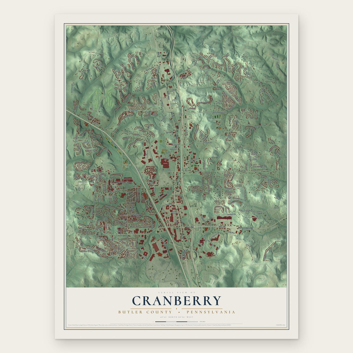
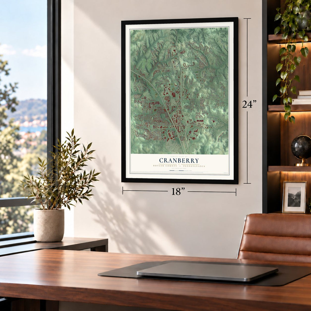
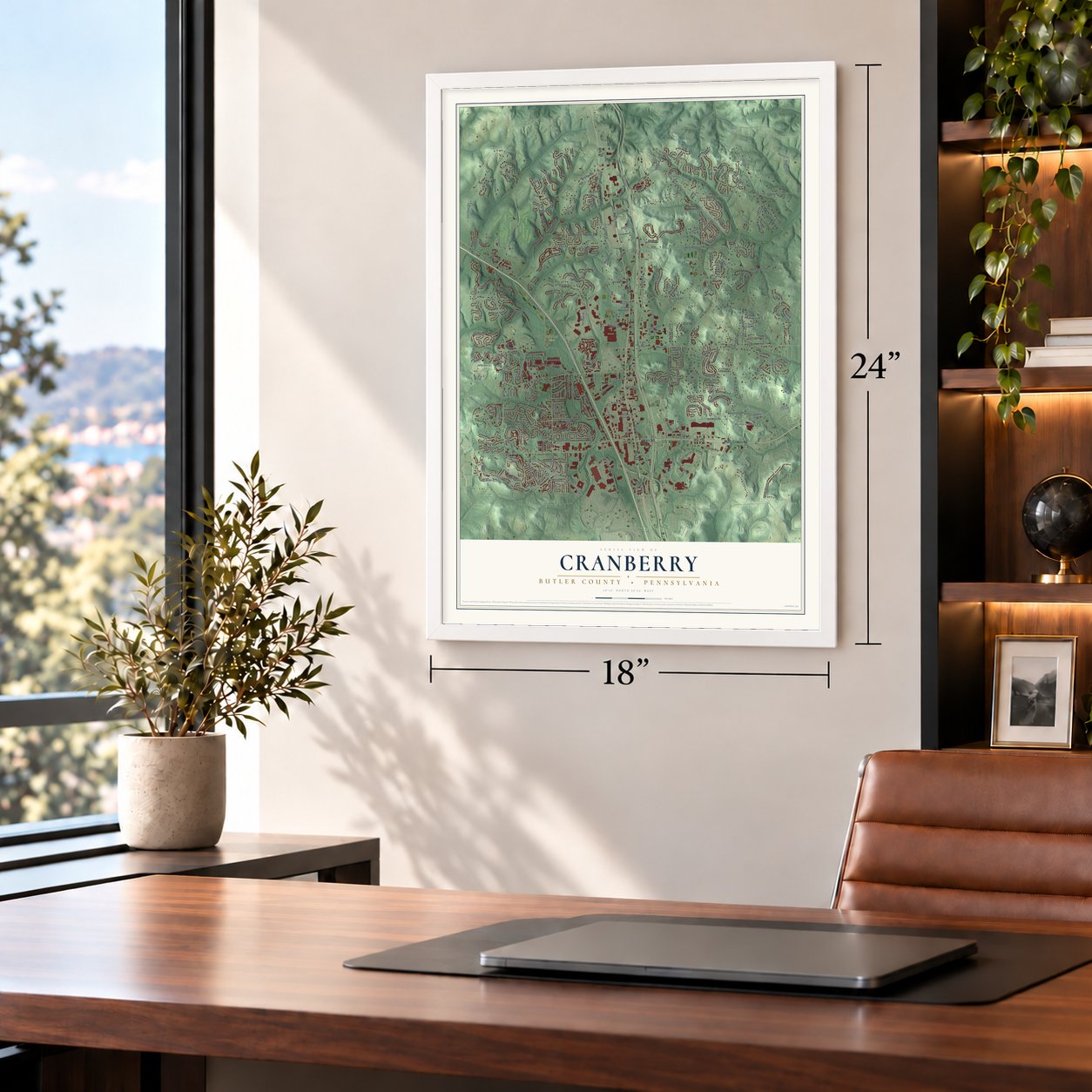
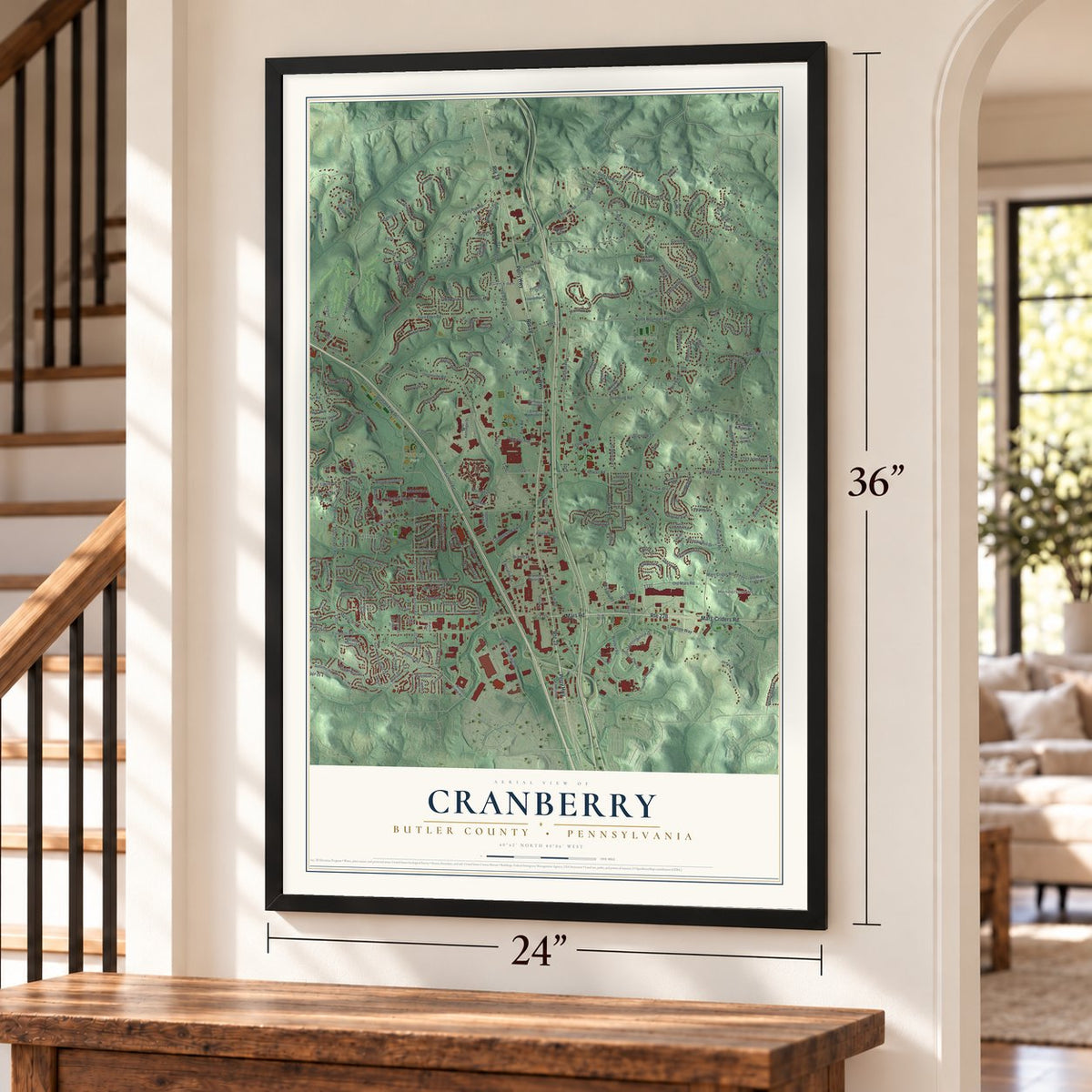
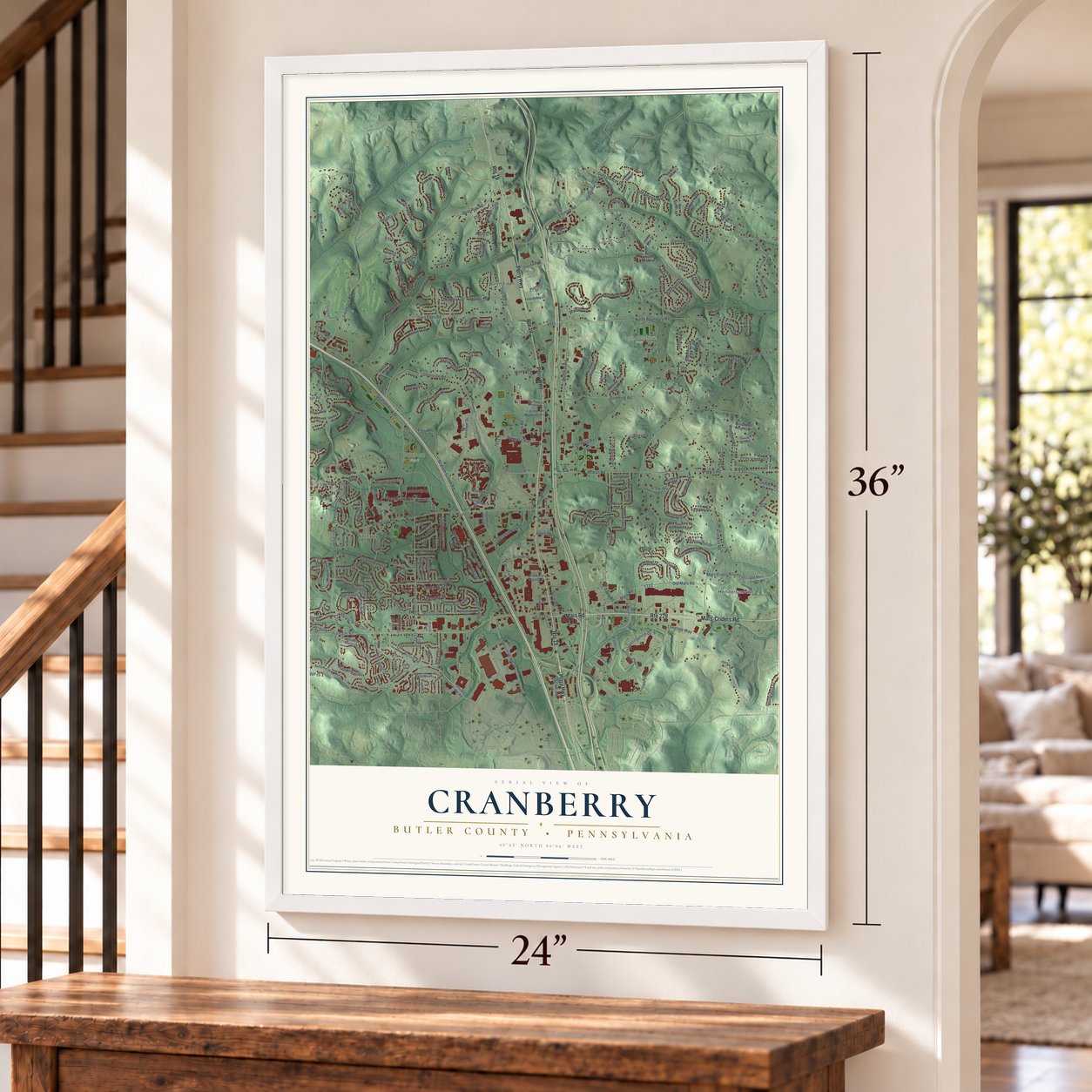
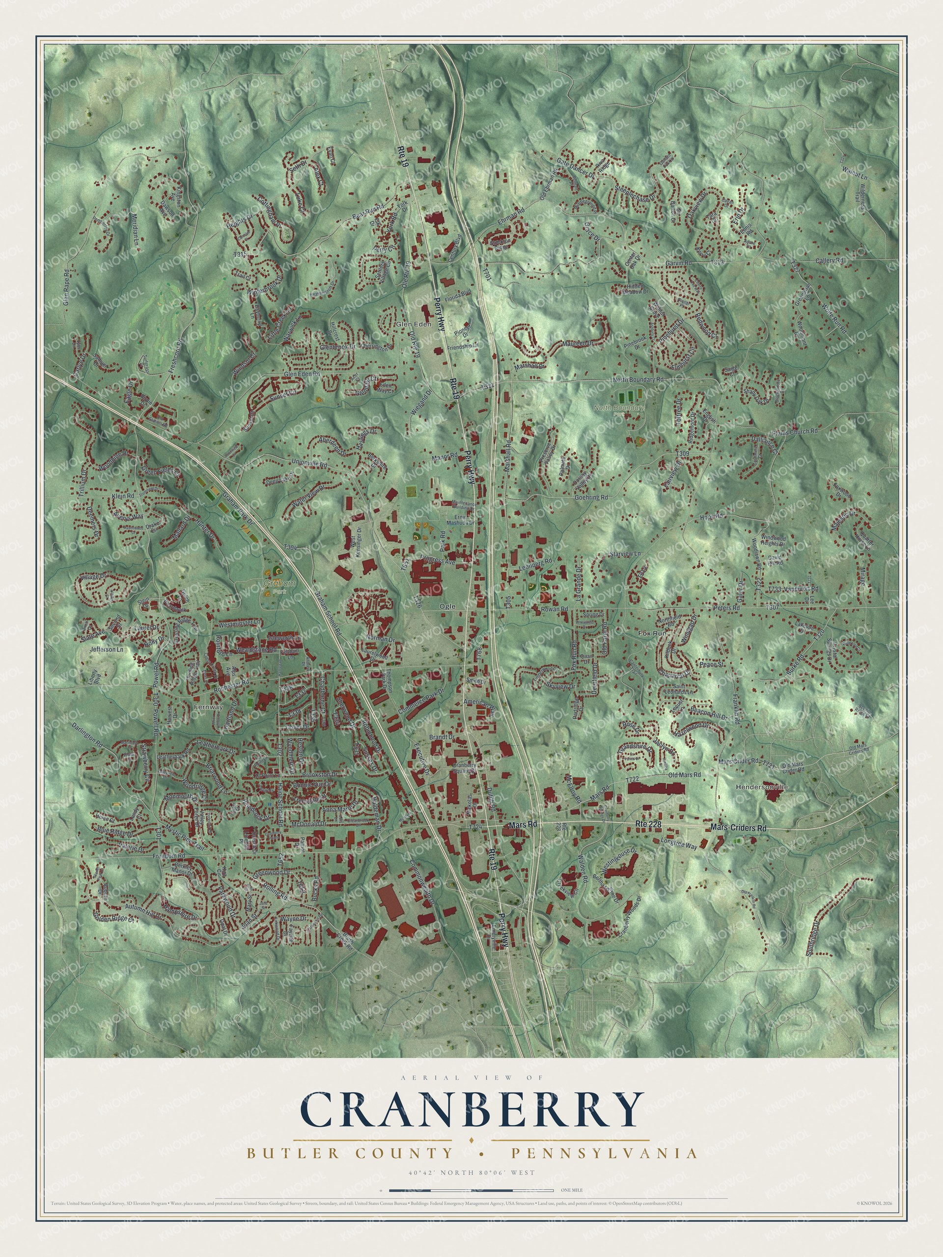
Cranberry, Butler County, Pennsylvania Map Art
Building by building, with labeled streets and shaded relief.
12" x 18" Archival Matte Print
A Map of Home. A Work of Art.
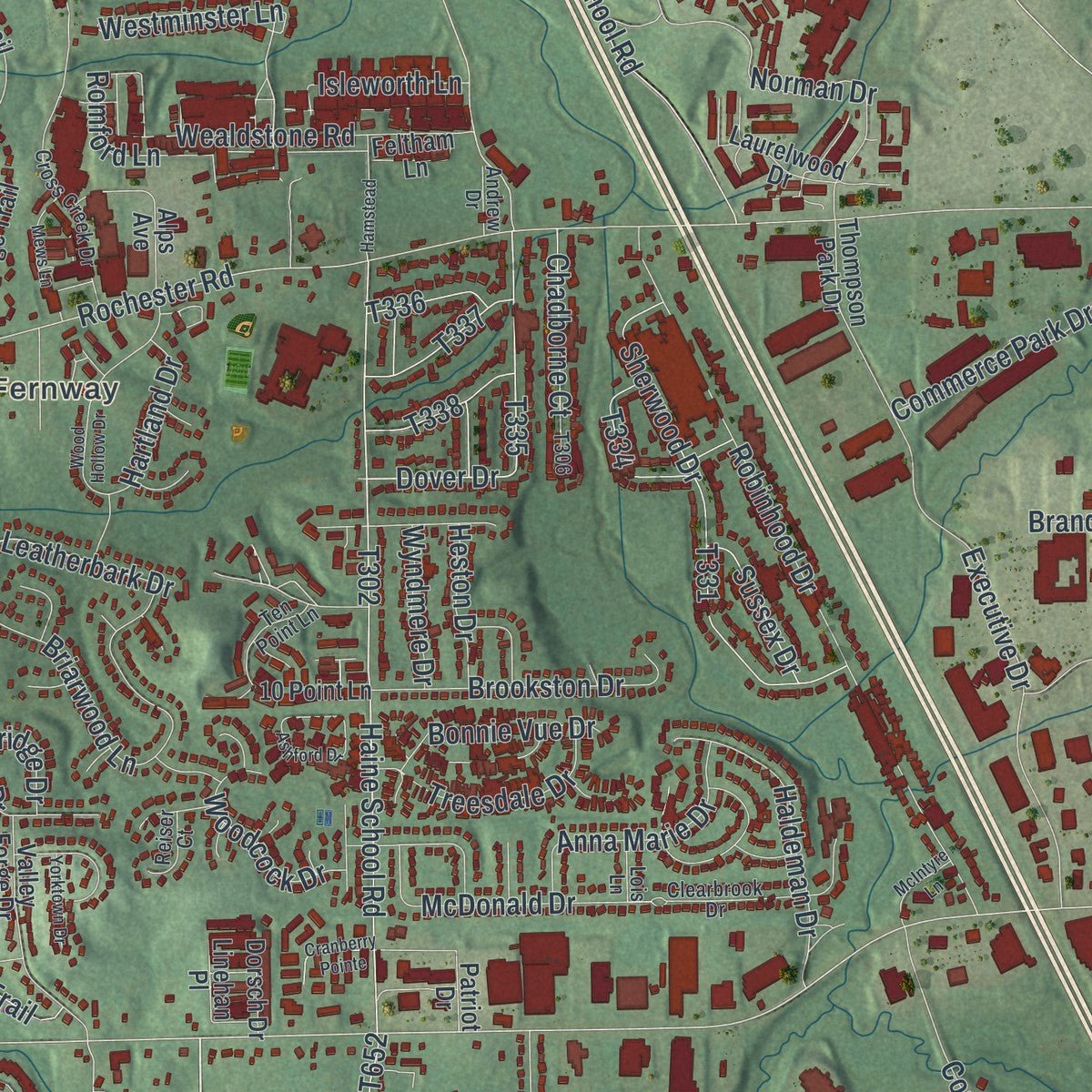
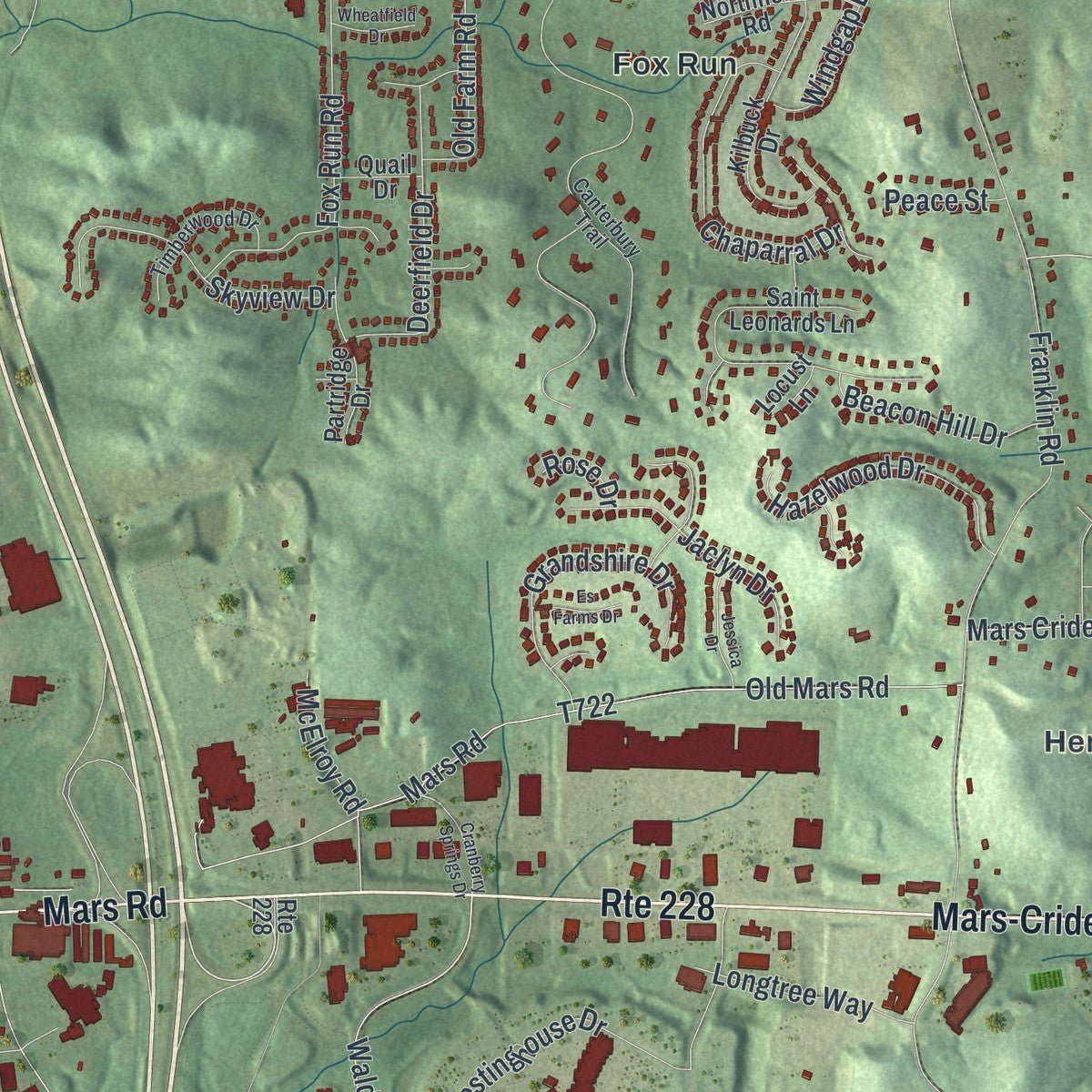
Explore Cranberry, Butler County, Pennsylvania from a whole new perspective. Created using aerial imagery and detailed geographic data, this map captures Cranberry building by building, with labeled streets, familiar landmarks, and shaded topographical relief that highlights the natural contours of the landscape.
Combining modern data with the timeless character of a vintage atlas, this map is just as interesting up close as it is beautiful on the wall. Whether you grew up in Cranberry, spent memorable years there, or call it home today, this unique map is a great way to celebrate a place that means something to you. Zoom in on the preview to look for your street, and then order a print to put your memories on the wall.
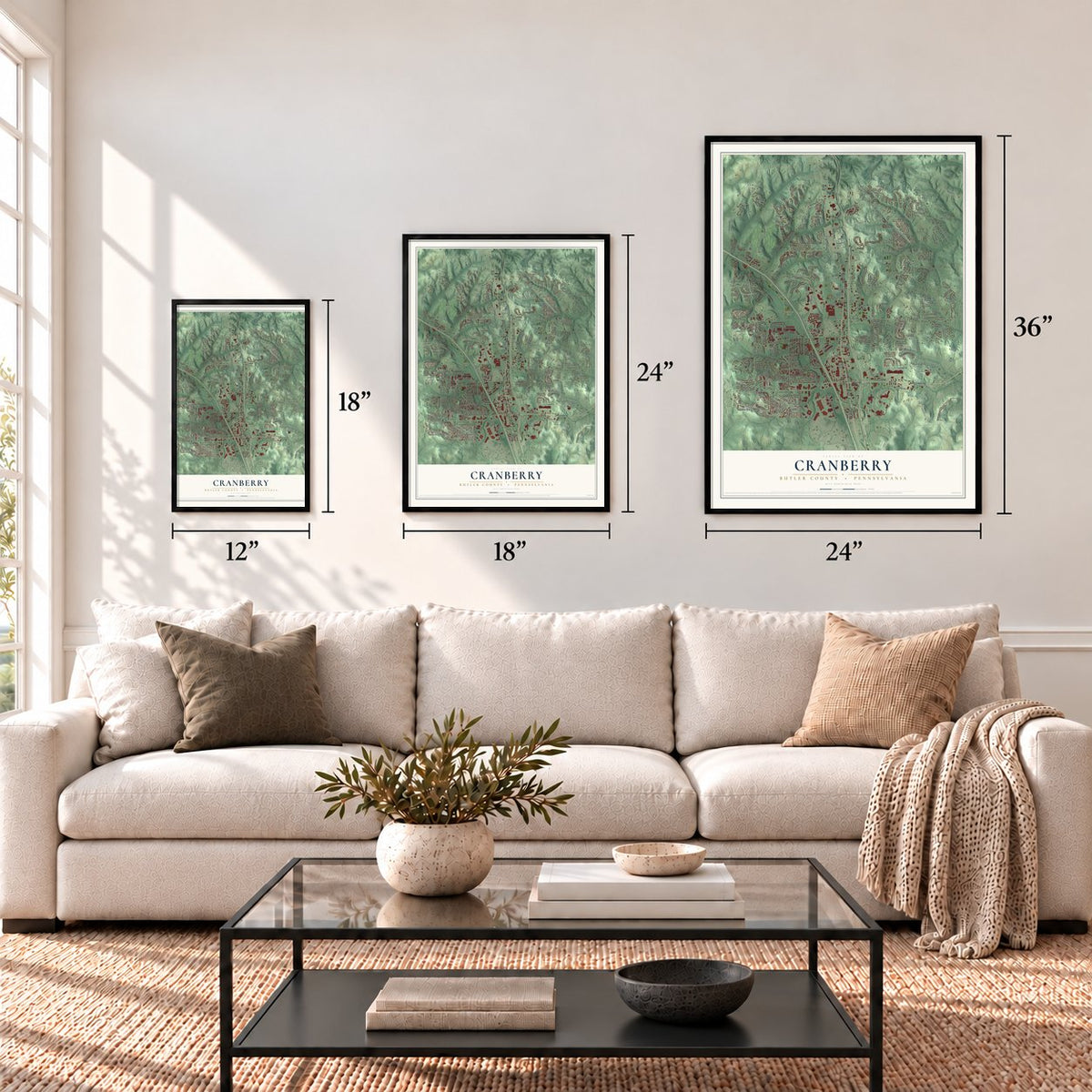
Three ways to hang it
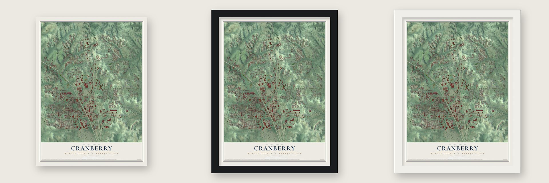
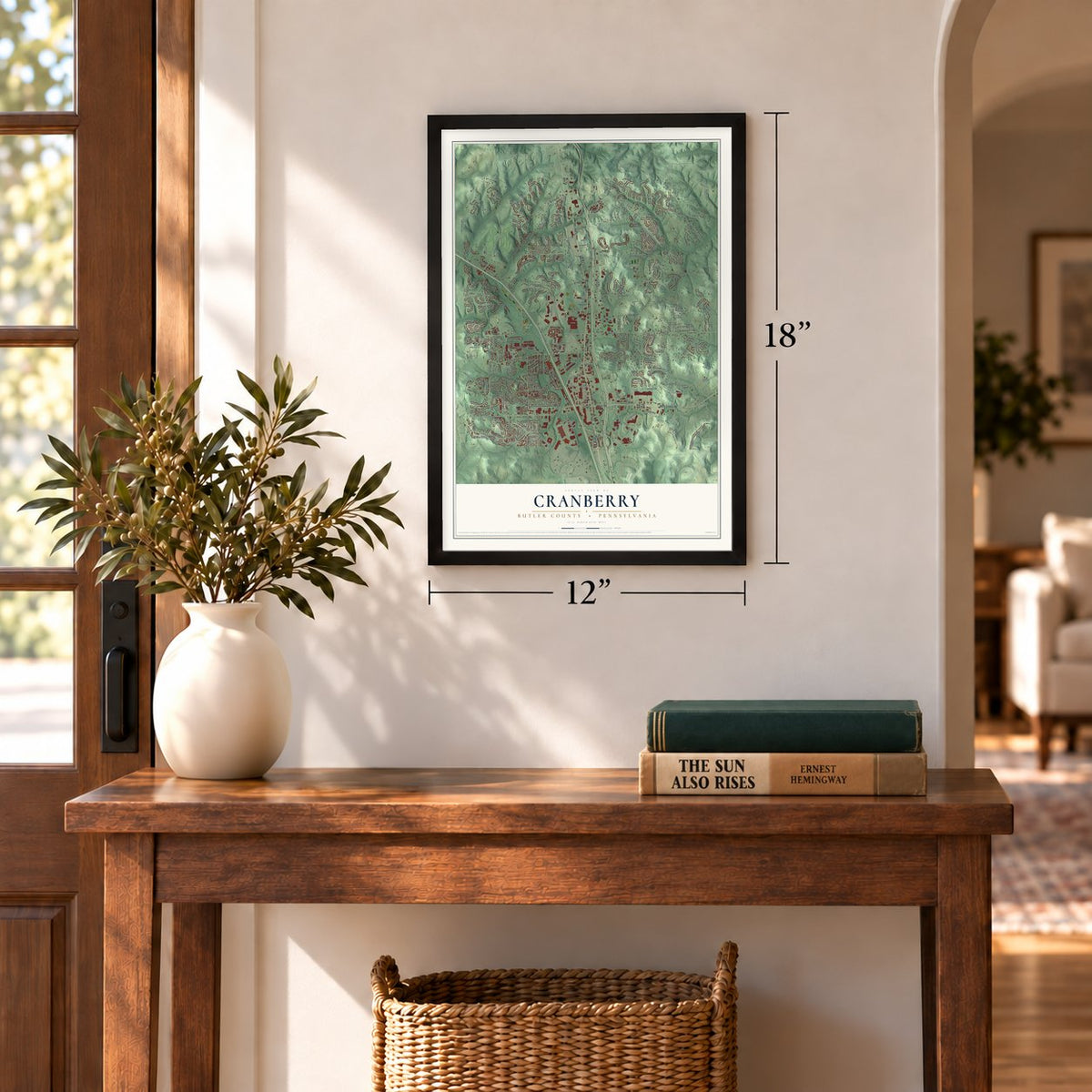
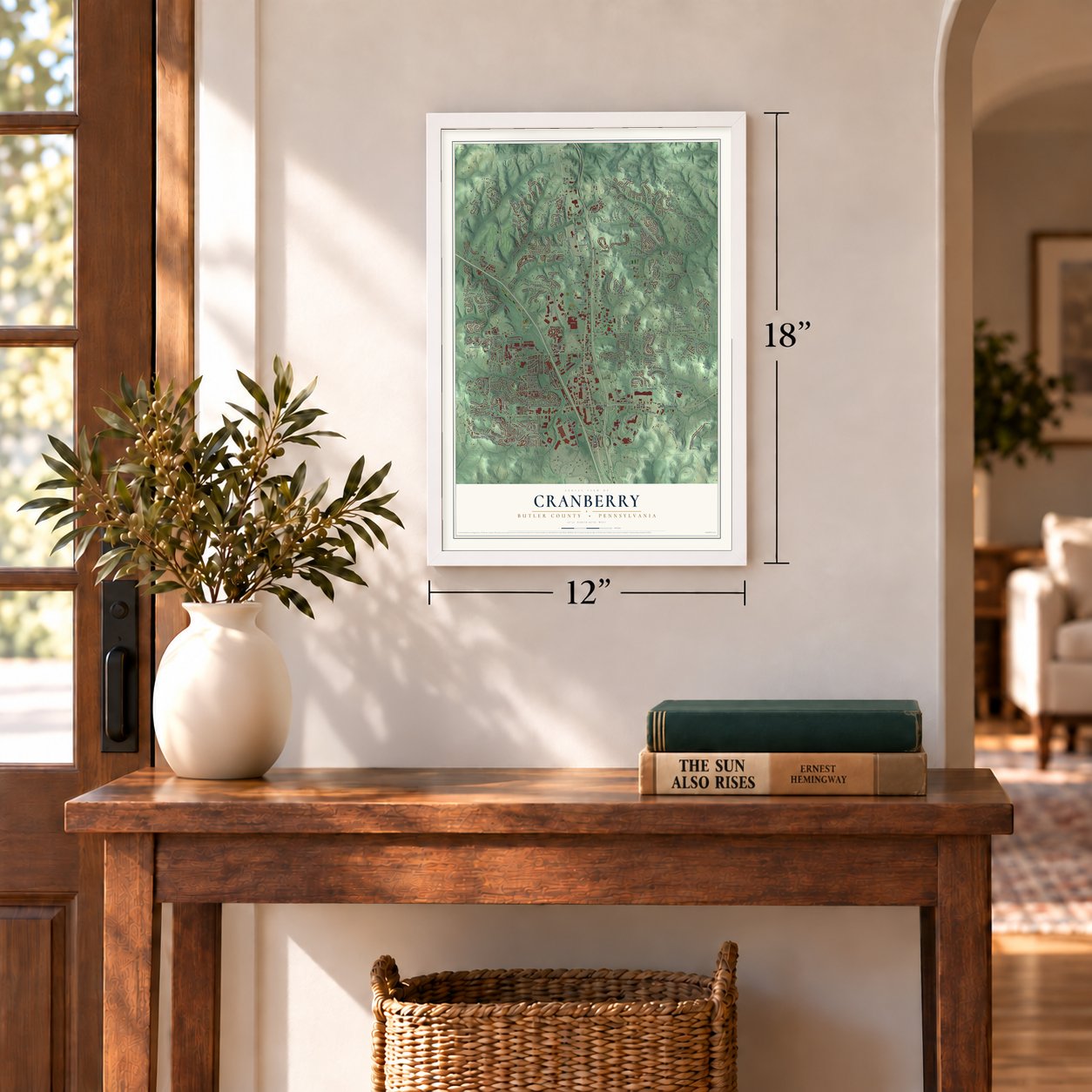
Unframed archival matte, a black wood frame or a white wood frame.
Up close
Geography Worth Displaying
This map was created using accurate cartographic data and authoritative geographic sources, including the U.S. Geological Survey and the Census Bureau. The map brings together terrain, waterways, roads, and building detail. The majority of the streets are labeled, houses are accurately depicted, and the topography is derived from government sources. Combining local data with carefully composed color and shading leads to this beautifully detailed Cranberry artwork for your wall.
Rather than simply showing street outlines, we’ve included as many of the street names as we could reasonably fit on the map while keeping their names legible. Zoom in on the high resolution preview to see exactly what’s on the map. We truly set out to create a statement piece for anyone who loves Cranberry. So whether it’s for you, or a gift for someone you love, we hope this map of Cranberry brings back fond memories.
Read the story behind this map of Cranberry, Butler County, Pennsylvania from 2026.

Find your street
Names on the Cranberry map
Every name below is printed on this map. Look for your street, your school, the park where you played, or the pond down the road.
Places and landmarks7
- Hendersonville
- Fernway
- Glen Eden
- Graham Park
- North Boundary Park
- Fox Run
- Ogle
Streets and roads301
- Perry Highway
- Route 228
- Mars Road
- Route 19
- Mars-Criders Road
- Greenwood Drive
- Rolling Road
- Freshcorn Road
- Walnut Lane
- Graham Park Drive
- Holly Drive
- Freedom Road
- Parkwood Drive
- Ole Route 19
- McElroy Road
- Glen Eden Road
- Rochester Road
- Old Mars Road
- Haine School Road
- Old Route 19
- Dover Drive
- Klein Road
- Franklin Road
- Powell Road
- Unionville Road
- Garvin Road
- Marshall Road
- North Boundary Road
- Rowan Road
- Heights Drive
Show all 301 streets
- Graham School Road
- Peters Road
- Goehring Road
- Ehrman Road
- Dutilh Road
- Bear Run Road
- Glen Rape Road
- Norman Drive
- Hope Road
- Robinhood Drive
- Village Drive
- Autumn Hill Drive
- Pinehurst Drive
- Plains Church Road
- Winterbrook Drive
- Sherwood Drive
- Oakview Drive
- Woodbine Drive
- Walden Road
- Burke Road
- Darlington Road
- Sunset Circle
- Monmouth Drive
- Hampshire Drive
- Commonwealth Drive
- Briarwood Lane
- Callery Road
- Valerie Drive
- Mars Crider Road
- Jefferson Lane
- Wolfe Run Road
- Aberdeen Drive
- Strawberry Circle
- Steeplechase Drive
- Hunter Drive
- Executive Drive
- Gate Dancer Drive
- Maureen Drive
- Wealdstone Road
- Fox Run Road
- Southridge Drive
- Elmhurst Circle
- Leatherbark Drive
- Glenbrook Drive
- Westminster Lane
- Chaparral Drive
- Water View Drive
- Erin Drive
- Progress Avenue
- Windsor Court
- Grandshire Drive
- Westinghouse Drive
- Commerce Park Drive
- Haldeman Drive
- Skyview Drive
- Deerfield Drive
- Brookston Drive
- Hazelwood Drive
- Starview Lane
- McDonald Drive
- York Road
- Blue Ridge Drive
- Marshall Drive
- Green Fields Court
- Anna Marie Drive
- Majestic Drive
- Eagle Drive
- Jaclyn Drive
- Leonberg Road
- Woodridge Drive
- Woodcock Drive
- Mystic Pine Trail
- Vandivort Road
- Slate Avenue
- Wayne Drive
- Mirage
- Bonnie Vue Drive
- Old Farm Road
- Deemers Drive
- Beacon Hill Drive
- Chadborne Court
- Golden Ridge Court
- Wiegand Drive
- Bucks Road
- Treesdale Drive
- Longtree Way
- Perry Circle
- Joan Street
- La Grande Drive
- Powel Road
- Windgap Drive
- Averys Way
- Isleworth Lane
- Manor Road
- Meridian Lane
- Romford Lane
- Cottingham Place
- Park Road
- Hartland Drive
- Little Creek Lane
- American Way
- Carlye Drive
- Toftree Drive
- Fairview Drive
- Glendale Court
- Sussex Drive
- Mallard Drive
- Seth Drive
- Brandt Drive
- Heston Drive
- Wyndmere Drive
- Warwick Lane
- Trillium Drive
- Dalliance Court
- Laurel Drive
- Galer Drive
- Alex Court
- Hastings Drive
- Redwood Court
- Luke Court
- Grace Drive
- Peace Street
- Rose Drive
- Brush Creek Road
- Gulch Lane
- Shady Oak Drive
- Stein Drive
- York Drive
- 10 Point Lane
- Cranberry Woods Drive
- Bayberry Lane
- Crossing Ridge Trail
- Settlers Village Circle
- Old Mars Crider Road
- Berkley Manor Drive
- Woodlawn Road
- Kingston Avenue
- Ernie Mashuda Drive
- Saint Leonards Lane
- Preserve Valley Drive
- Creekview Circle
- Crystal Springs Drive
- Hillcrest Drive
- Thompson Park Drive
- Leatherbark Road
- Ridgemont Drive
- Stockton Ridge
- Old Ehrman Road
- Valley Forge Drive
- Pinebrook Drive
- Dorsay Valley Drive
- Cherrington Drive
- Bertha Lamme Drive
- Hunting Ridge Trail
- Cranberry Square Drive
- West Kensinger Drive
- Friendship Lane
- Pioneer Drive
- Quarter Horse Lane
- Wilderness Trail
- Alps Avenue
- Deep Lake Drive
- Foxwood Drive
- Berkshire Drive
- Kilbuck Drive
- Partridge Drive
- Mary Street
- Florida Boulevard
- Center Oak Drive
- Riva Ridge
- Samuel Drive
- Patriot Drive
- Drake Circle
- Northfield Road
- Greenbriar Lane
- Walnut Grove
- Woodmont Drive
- Nickolas Drive
- Kerry Court
- Century Boulevard
- Dorsch Drive
- Emeryville Drive
- Harvest Drive
- Birdie Drive
- Lakevue Drive
- Kira Circle
- Windwood Heights Drive
- Palmate Drive
- Lee Drive
- Eden Way Court
- Hidden Meadow Drive
- Laurelwood Drive
- David Hill Road
- Linehan Place
- Boardwalk
- English Drive
- Auburn Drive
- Dawson Avenue
- Sir Barton Court
- Fayette Drive
- Helen Court
- Second Street
- Sunset Court
- Feltham Lane
- Smith Drive
- Spring Drive
- Quail Drive
- Trail Court
- Liberty Boulevard
- Evan Court
- Ennis Road
- Opal Drive
- Locust Lane
- Elk Drive
- Lundy Court
- Saige Court
- Tara Court
- Clearbrook Drive
- Canterbury Trail
- Old Mars Criders Road
- Heathercroft Drive
- Old Station Road
- Turfgrass Drive
- Cross Creek Drive
- Maintenance Building Drive
- Cashmere Court
- Pemberley Drive
- Timberwood Drive
- Middleground Place
- Cameron Drive
- Kirkwood Drive
- Ten Point Lane
- Blackmoore Drive
- Cavan Drive
- Tyler Drive
- Poplar Place
- Scenic Ridge Court
- Belmart Place
- Reiser Court
- Birch Drive
- Gallant Fox Lane
- Andrew Drive
- Adare Court
- Lois Lane
- Plum Court
- Acer Court
- Cranberry Springs Drive
- Wood Hollow Drive
- Ashford Drive
- Macintosh Court
- Camelot Court
- Jessica Drive
- Valleyview Drive
- Waterford Court
- Ashbury Court
- Old Franklin Road
- Havenwood Drive
- Mews Lane
- Stonefield Drive
- Cherry Tree Way
- Yorktown Drive
- Cranberry Pointe
- Scarlet Peak Court
- Es Farms Drive
- McIntyre Lane
- Hamstead
- Wheatfield Drive
- Village Court
- Lawnview Court
- Ruth Street
- Jane Street
Names are listed as they appear on the printed map. Zoom into the product photos to find them.
About Cranberry, Butler County, Pennsylvania
It had 33,096 residents in 2020.
“Two years later he built the first grist mill on the creek, it being also the first in the township.”
- 33,096 peopleCounted in the 2020 census.
Keep exploring Pennsylvania
Cranberry is one of 3,725 Pennsylvania towns we've mapped. Every dot on the map is a print of its own.
The search covers every state, Pennsylvania first.
Near Cranberry
Order 2 or more town maps and save 10%. Shown in the size and finish you picked above, so they hang as a set.
- Seven Fields 12" x 18" / Archival Matte Print $39.99
- Callery 12" x 18" / Archival Matte Print $39.99
- Marshall 12" x 18" / Archival Matte Print $39.99
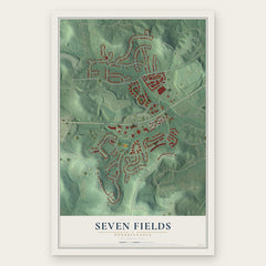
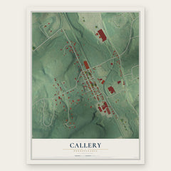
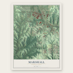
More maps nearby: Evans City, Mars, New Sewickley, Jackson and Bradford Woods.
The art of mapping a place
How This Map Was Made
Real places. Remarkable detail. Discover the layers that turn geographic data into a map of home.

The view from above
Aerial imagery reveals the character of the land: woodland, open fields, and the patterns of a place.

The shape of the land
Elevation data brings hills, valleys, and subtle changes in the landscape into view.

The details of home
Roads, waterways, and building footprints come together to make the map feel unmistakably local.

Geography becomes art
Considered color, shading, and typography bring the layers together in a map made for your wall.


Process illustrated with Mendon, Massachusetts. Aerial imagery: USDA NAIP. Terrain: USGS 3D Elevation Program. Map details and finished artwork: KNOWOL.
The Details
About This Print
Choose an archival matte print, or a black or white Ayous wood frame. The archival matte print is unframed.
Select your size and finish above to see the matching product image and price.
Materials & Craftsmanship
A contemporary map with the character of a classic atlas, printed on archival matte paper. Optional frames are made from Ayous wood.
Your printed map does not include the watermark shown in the full-map preview.
Shipping & Delivery
Free shipping within the United States. Every print is made to order in the USA.
Buying a gift? Add a note in your cart and we'll include it. We never put prices in the package.
Prints ship within 2 to 3 business days. Allow 7 to 10 days total from ordering for delivery. Timing may vary during holidays or periods of high order volume.
Read our shipping policy.
Returns and damaged prints
Each print is made to order. Change-of-mind refunds are not available after production.
If your print arrives damaged, misprinted or incorrect, contact support@knowol.com within 30 days of receiving it. Include your order number, photos and a description of the issue.
Read our full refund and replacement policy. For questions about your order, email support@knowol.com.