
Search for another town
Free U.S. delivery 7 to 10 days after you order
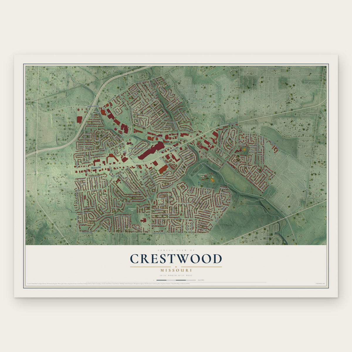
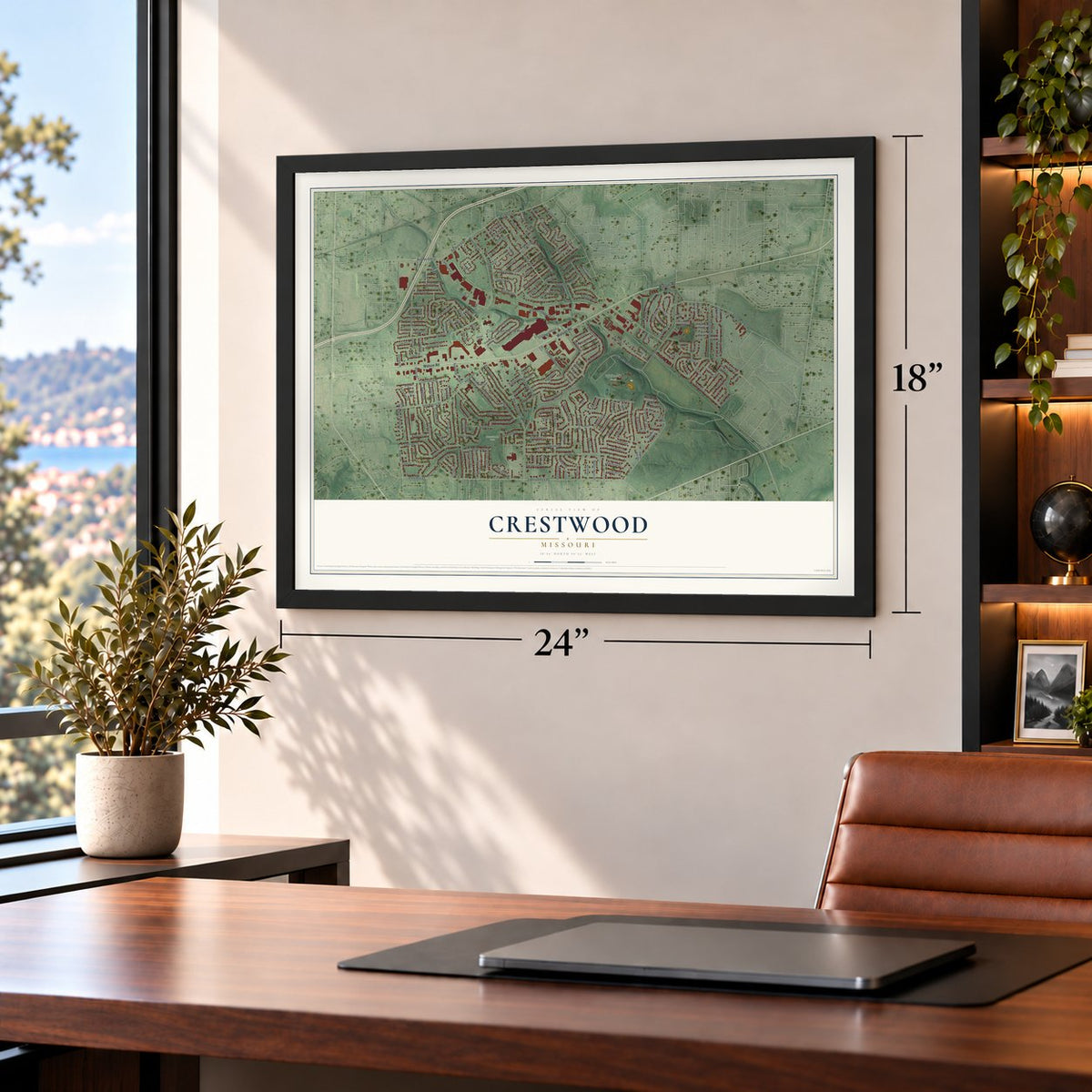
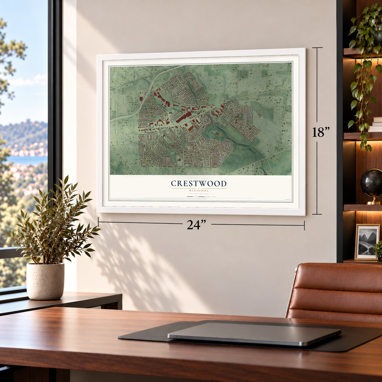
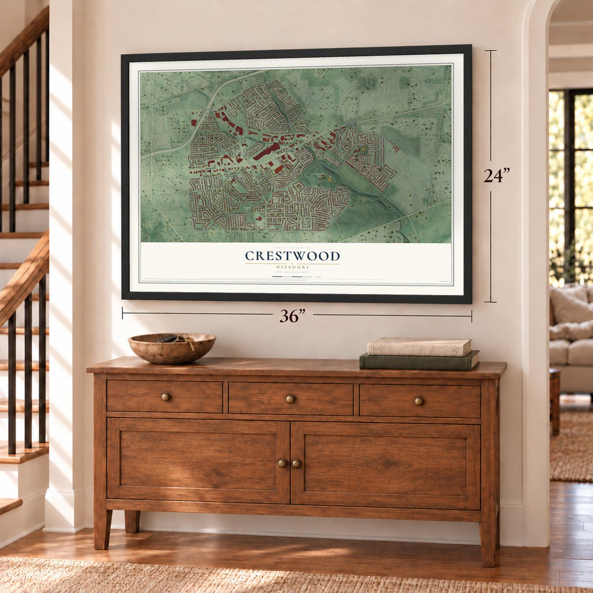
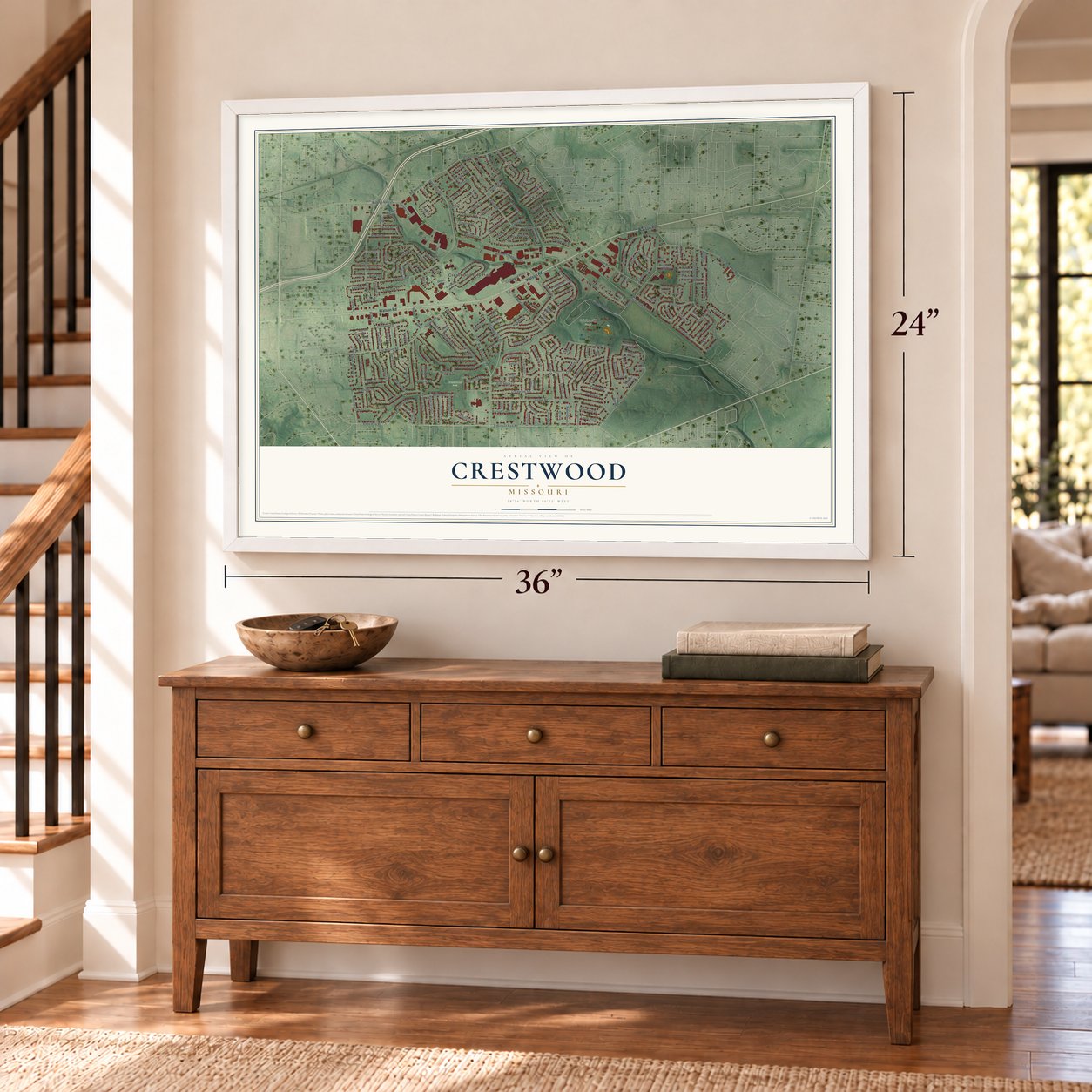
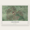
Crestwood, Missouri Map Art
Building by building, with labeled streets and shaded relief.
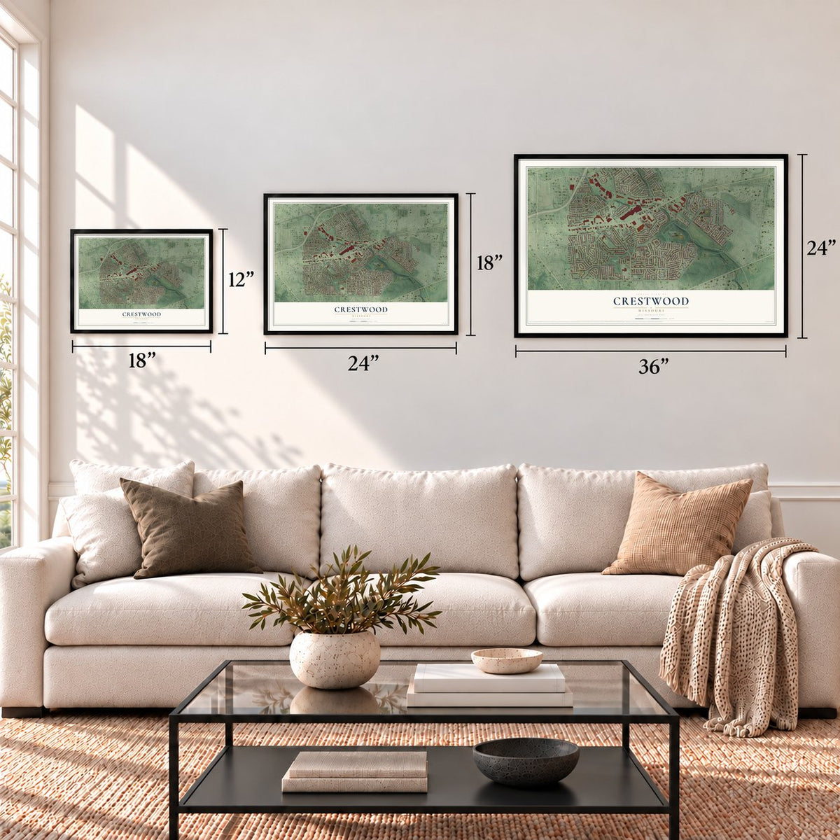
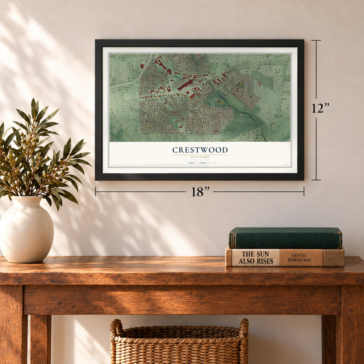
12" x 18" Archival Matte Print
A Map of Home. A Work of Art.
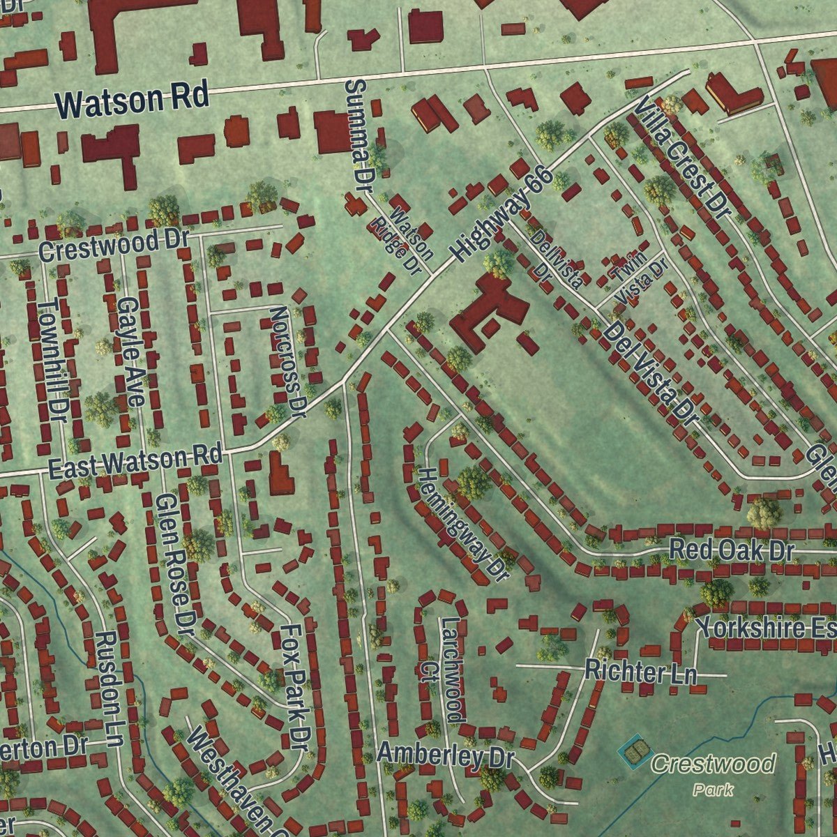
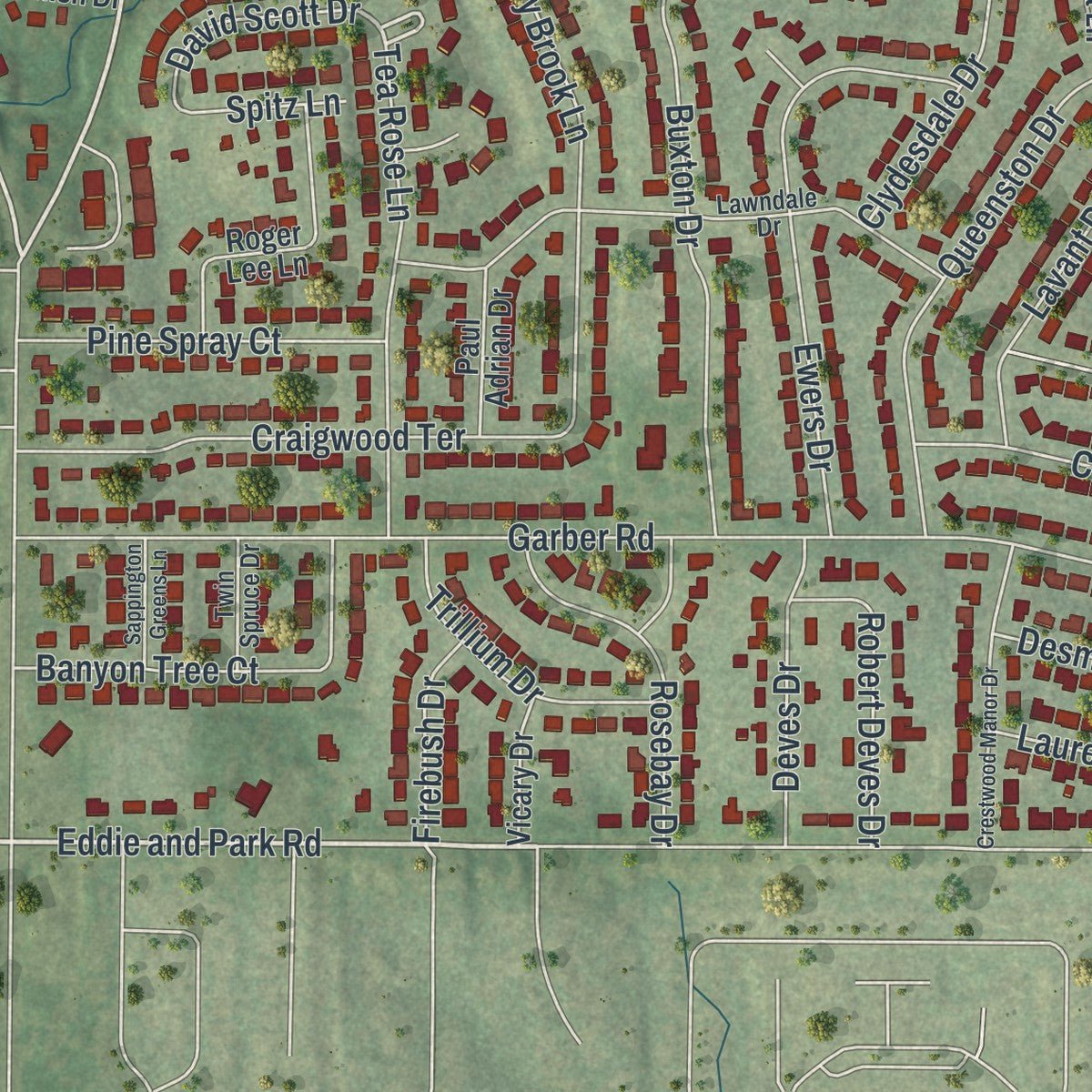
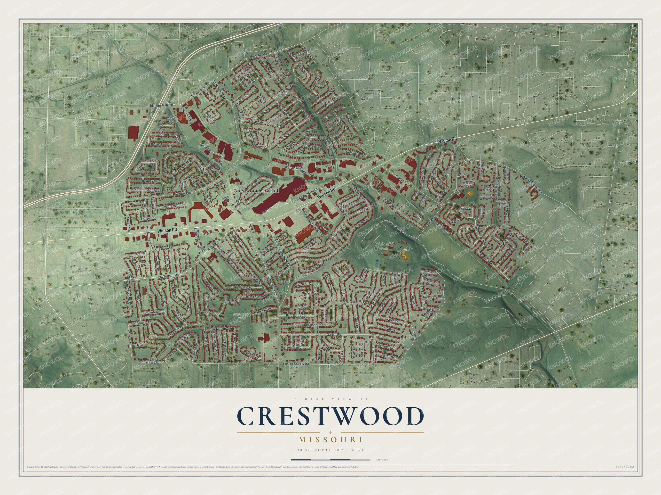
Explore Crestwood, Missouri from a whole new perspective. Created using aerial imagery and detailed geographic data, this map captures Crestwood building by building, with labeled streets, familiar landmarks, and shaded topographical relief that highlights the natural contours of the landscape.
Combining modern data with the timeless character of a vintage atlas, this map is just as interesting up close as it is beautiful on the wall. Whether you grew up in Crestwood, spent memorable years there, or call it home today, this unique map is a great way to celebrate a place that means something to you. Zoom in on the preview to look for your street, and then order a print to put your memories on the wall.
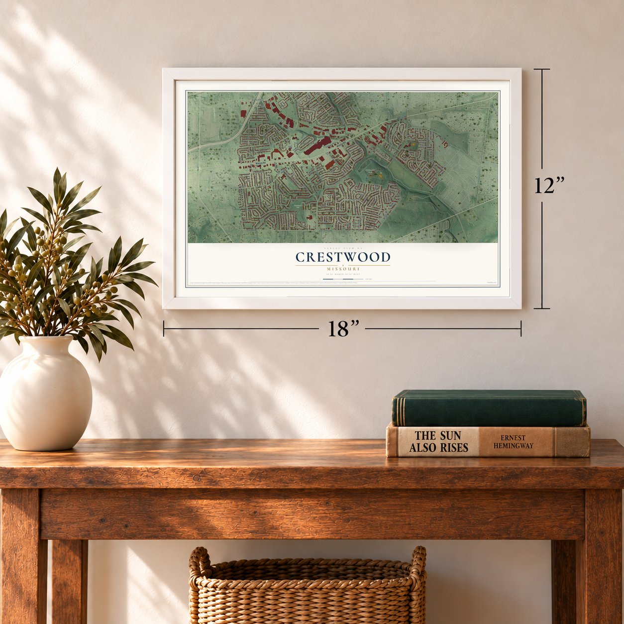
Three ways to hang it
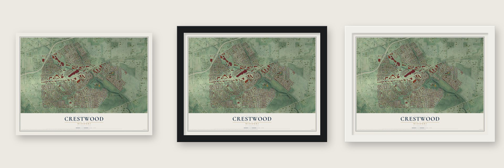
Unframed archival matte, a black wood frame or a white wood frame.
Up close
Geography Worth Displaying
This map was created using accurate cartographic data and authoritative geographic sources, including the U.S. Geological Survey and the Census Bureau. The map brings together terrain, waterways, roads, and building detail. The majority of the streets are labeled, houses are accurately depicted, and the topography is derived from government sources. Combining local data with carefully composed color and shading leads to this beautifully detailed Crestwood artwork for your wall.
Rather than simply showing street outlines, we’ve included as many of the street names as we could reasonably fit on the map while keeping their names legible. Zoom in on the high resolution preview to see exactly what’s on the map. We truly set out to create a statement piece for anyone who loves Crestwood. So whether it’s for you, or a gift for someone you love, we hope this map of Crestwood brings back fond memories.
Read the story behind this map of Crestwood, Missouri from 2026.
Find your street
Names on the Crestwood map
Every name below is printed on this map. Look for your street, your school, the park where you played, or the pond down the road.
Places and landmarks4
- Crestwood City Hall
- Crestwood Park
- Whitecliff Park
- Watson Industrial Park
Streets and roads232
- Watson Road
- Eddie and Park Road
- East Watson Road
- Highway 66
- Crestwood Plaza
- Bishops Gate Lane
- Old Sappington Road
- Acorn Drive
- New Sappington Road
- Tea Rose Lane
- Pinellas Drive
- Capri Drive
- Tower Drive
- Pardee Road
- Sappington Road
- Big Bend Road
- Big Bend Boulevard
- Garber Road
- Whitecliff Park Lane
- Liggett Drive
- South Rock Hill Road
- Arban Drive
- Rayburn Avenue
- Eddie Park Road
- Trelane Avenue
- Crest Oak Lane
- Lodge Pole Lane
- General Grant Lane
- Liggett Avenue
- Cordoba Lane
Show all 232 streets
- Glenwood Drive
- Grant Road
- Buxton Drive
- Pardee Lane
- Sturdy Drive
- Fox Park Drive
- Red Oak Drive
- Sanders Drive
- Sanders Place
- Queenston Drive
- Sunray Lane
- Diversey Drive
- Flamingo Drive
- Harwich Drive
- Manda Lane
- Ewers Drive
- Missy Court
- Blackthorn Drive
- Tahiti Drive
- Reco Avenue
- Rusdon Lane
- Samoa Drive
- Del Vista Drive
- Park Crestwood Drive
- Spellman Avenue
- Craigwood Terrace
- Heather Drive
- Pardee Spr
- Westglen Drive
- Richter Lane
- Woodbine Drive
- Cherry Brook Lane
- Grant Farm Trail
- Villa Crest Drive
- Vauk Lane
- Lavant Drive
- Briarton Drive
- Glenfield Terrace
- Lowill Lane
- Reco Road
- Ridgewood Drive
- Brookview Drive
- Banyon Tree Court
- Yorkshire Estates Drive
- Watson Woods Court
- Glen Rose Drive
- Bull Run Drive
- Etherton Drive
- Grant Park Drive
- Apex Drive
- Clydesdale Drive
- Robyn Road
- Rosebay Drive
- Anchorage Lane
- Crestwood Drive
- Pine Spray Court
- Sky Crest Drive
- Laurel Crest Drive
- Maple Grove Drive
- Meadowfern Drive
- Lodge Drive
- Trillium Drive
- Fox Creek Court
- Rusticwood Trail
- Robert Deves Drive
- Clover Lane
- Burntoak Drive
- Gallop Lane
- Starling Drive
- Deves Drive
- Desmond Drive
- Amberley Drive
- Ft Donelson Drive
- Crestmoor Drive
- Laurel Hill Drive
- Gayle Avenue
- Townhill Drive
- Jo Ann Place
- Montego Drive
- Curwood Drive
- Fournier Drive
- Hartsdale Drive
- Madeira Drive
- Laramie Drive
- Bardmont Drive
- Fern Glen Drive
- Barberton Drive
- Coffey Drive
- Capilia Drive
- Fieldcrest Drive
- Ferndale Avenue
- Hawkins Court
- David Scott Drive
- Volz Drive
- Bali Court
- Camelot Lane
- Westhaven Court
- Parkshire Drive
- Dublin Drive
- Firebush Drive
- Larsen Lane
- High Hill Court
- Fox Creek Drive
- Camera Avenue
- Dalcrest Lane
- Lopina Boulevard
- Fourth Street
- High Avenue
- Summa Drive
- Spitz Lane
- Coffey Court
- Ayres Drive
- Crain Court
- Kathy Court
- Elmont Lane
- Eddie & Park Road
- Chatwood Terrace
- Twincrest Drive
- Pardee Spur Road
- Royal Arms Court
- Greenview Drive
- Leawood Drive
- Grovena Drive
- Roger Lee Lane
- Conover Lane
- Dallwood Drive
- Sessions Avenue
- Hemingway Drive
- Aloha Drive
- Joshua Drive
- Larchwood Court
- Norcross Drive
- Sun Country Trail
- Silvercrest Drive
- Maebern Terrace
- Grantwood Trails Court
- Lurline Drive
- Whitehaven Drive
- Cassia Court
- Aspen Drive
- Carrimae Court
- Crompton Court
- Cloverlea Drive
- Sheryl Ann Drive
- Gillespie Boulevard
- Woodhue Drive
- Pennant Lane
- Oak Ridge Avenue
- Raycrest Lane
- Morning Star Trail
- Beth Drive
- Shoppers Lane
- Medallion Court
- Paul Adrian Drive
- Colonel Dent Drive
- Captain Conn Drive
- Clay Avenue
- Green Springs Drive
- Tremont Circle Drive
- Vicary Drive
- Rosaire Drive
- Cornish Drive
- Grant Ridge Lane
- Teaberry Lane
- Mountain Ash Trail
- Hatton Drive
- Lou Court
- Drew Terrace
- Banbury Court
- Detjen Drive
- Ulysses Court
- Mastis Court
- Diane Lane
- Banyon Drive
- Lawndale Drive
- Dellvista Drive
- Glencrest Drive
- Hutchins Drive
- Rock Forest Drive
- Appomattox Court
- Lantana Drive
- Grant Haven Drive
- Arrowwood Drive
- Twin Spruce Drive
- Eudora Court
- Watson Ridge Drive
- Twin Vista Drive
- Whitecliff Lane
- Mary Glen Drive
- Crestwood Manor Drive
- Pinewood Drive
- Grantwood Oaks Court
- Elvado Drive
- Crestfield Lane
- Paddock Court
- Sappington Greens Lane
- Denton Court
- Oakwyck Drive
- Grantway Court
- Oak Creek Drive
- Fernleaf Drive
- Firewood Trail
Names are listed as they appear on the printed map. Zoom into the product photos to find them.
About Crestwood, Missouri
From the Call Newspapers: "Crestwood was founded in 1947 by a group of citizens who did not want to be annexed by Kirkwood, Oakland or Webster Groves during the division. In 1949 the first mayor was elected, propelling the town to city status."
Keep exploring Missouri
Crestwood is one of 1,207 Missouri towns we've mapped. Every dot on the map is a print of its own.
The search covers every state, Missouri first.
Near Crestwood
Order 2 or more town maps and save 10%. Shown in the size and finish you picked above, so they hang as a set.
- Grantwood Village 12" x 18" / Archival Matte Print $39.99
- Oakland 12" x 18" / Archival Matte Print $39.99
- Sappington 12" x 18" / Archival Matte Print $39.99
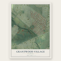
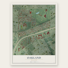
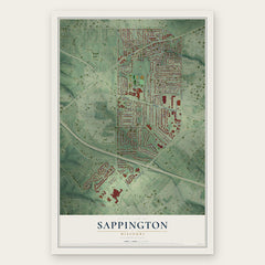
More maps nearby: Marlborough, Webster Groves, Sunset Hills, Lakeshire and Glendale.
The art of mapping a place
How This Map Was Made
Real places. Remarkable detail. Discover the layers that turn geographic data into a map of home.

The view from above
Aerial imagery reveals the character of the land: woodland, open fields, and the patterns of a place.

The shape of the land
Elevation data brings hills, valleys, and subtle changes in the landscape into view.

The details of home
Roads, waterways, and building footprints come together to make the map feel unmistakably local.

Geography becomes art
Considered color, shading, and typography bring the layers together in a map made for your wall.


Process illustrated with Mendon, Massachusetts. Aerial imagery: USDA NAIP. Terrain: USGS 3D Elevation Program. Map details and finished artwork: KNOWOL.
The Details
About This Print
Choose an archival matte print, or a black or white Ayous wood frame. The archival matte print is unframed.
Select your size and finish above to see the matching product image and price.
Materials & Craftsmanship
A contemporary map with the character of a classic atlas, printed on archival matte paper. Optional frames are made from Ayous wood.
Your printed map does not include the watermark shown in the full-map preview.
Shipping & Delivery
Free shipping within the United States. Every print is made to order in the USA.
Buying a gift? Add a note in your cart and we'll include it. We never put prices in the package.
Prints ship within 2 to 3 business days. Allow 7 to 10 days total from ordering for delivery. Timing may vary during holidays or periods of high order volume.
Read our shipping policy.
Returns and damaged prints
Each print is made to order. Change-of-mind refunds are not available after production.
If your print arrives damaged, misprinted or incorrect, contact support@knowol.com within 30 days of receiving it. Include your order number, photos and a description of the issue.
Read our full refund and replacement policy. For questions about your order, email support@knowol.com.