
Search for another town

Free U.S. delivery 7 to 10 days after you order
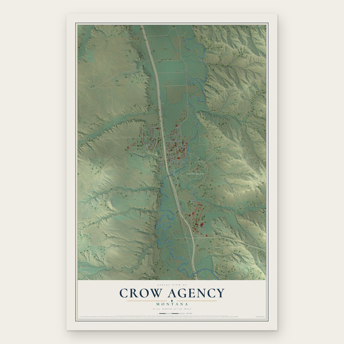
Crow Agency, Montana Map Art
Building by building, with labeled streets and shaded relief.
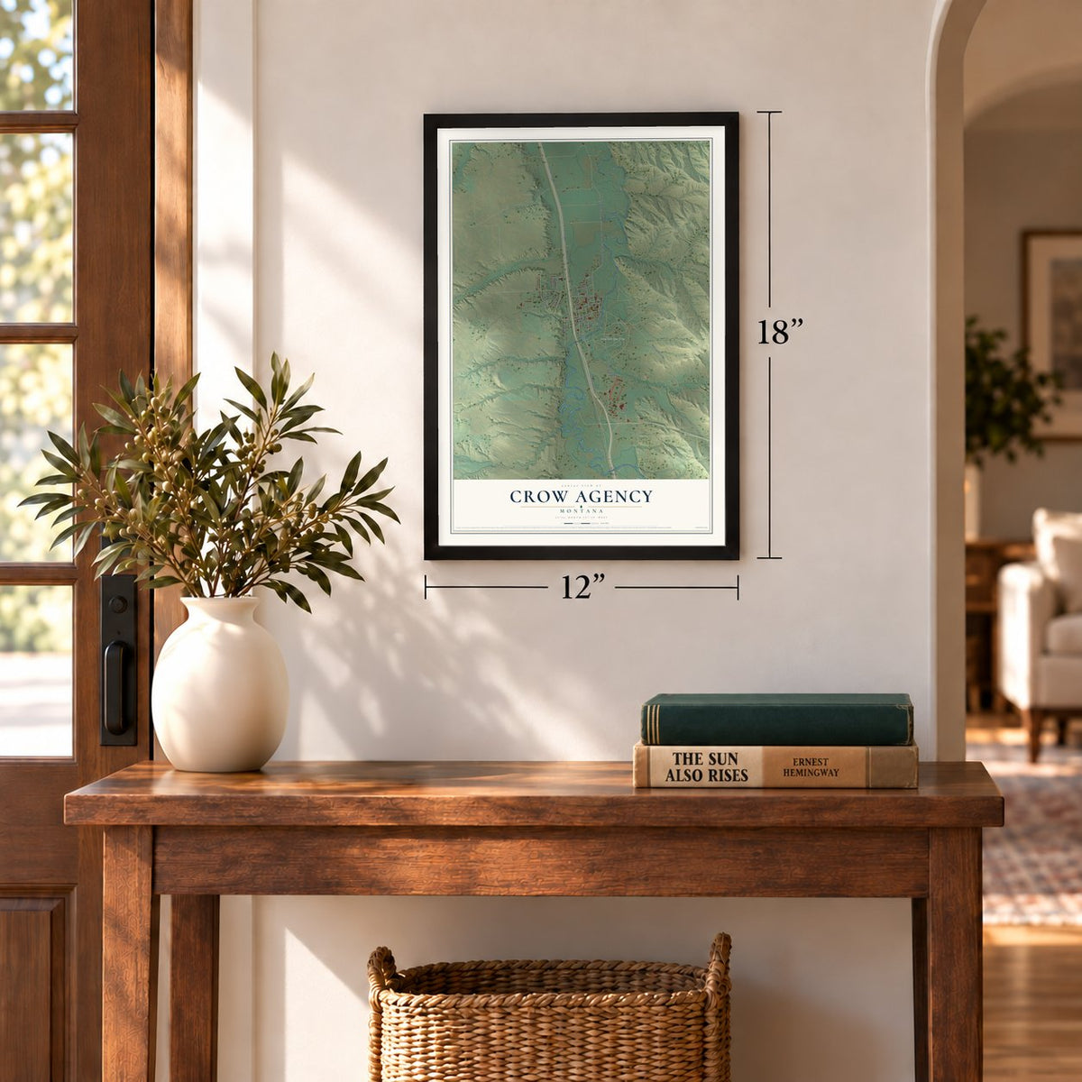
12" x 18" Archival Matte Print
A Map of Home. A Work of Art.
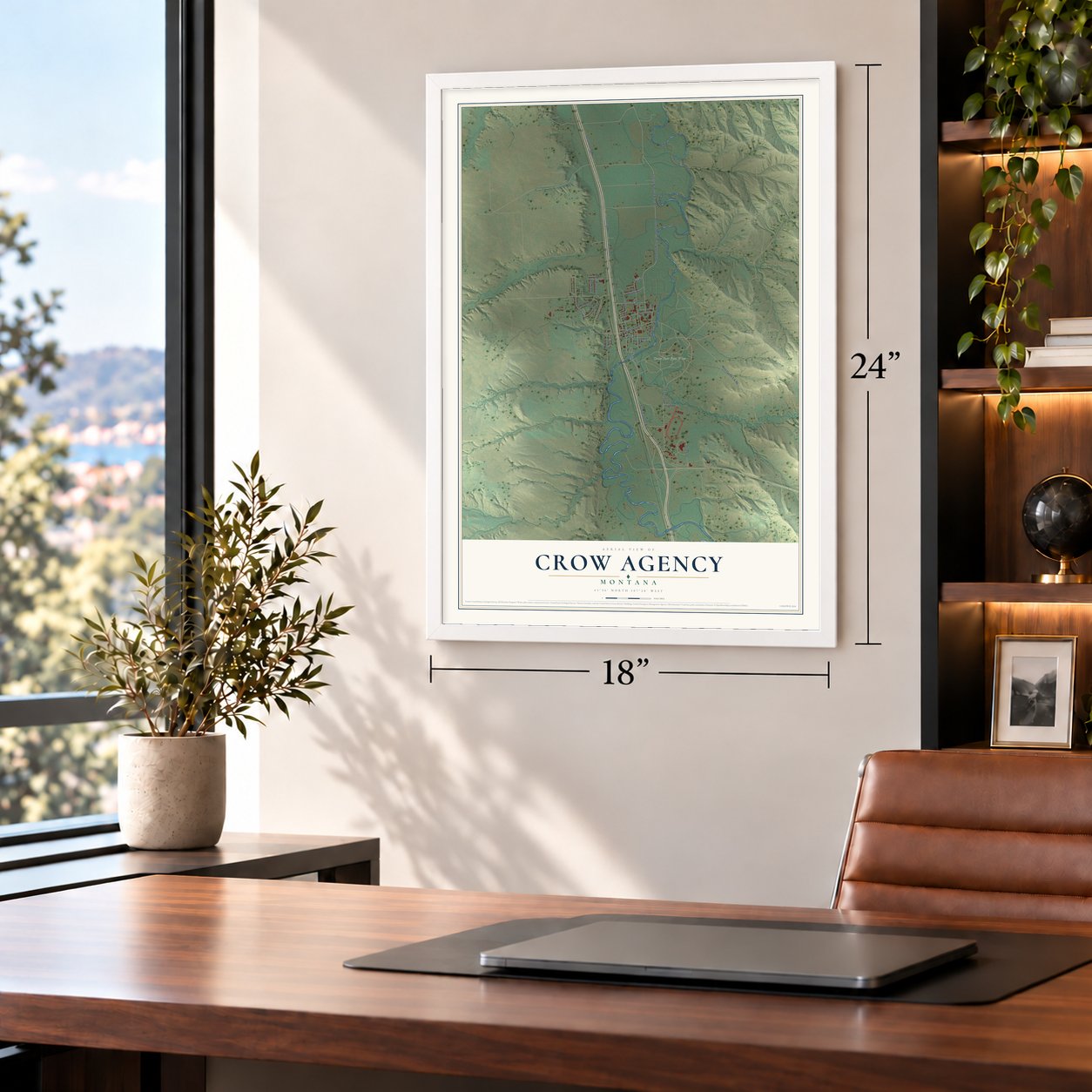
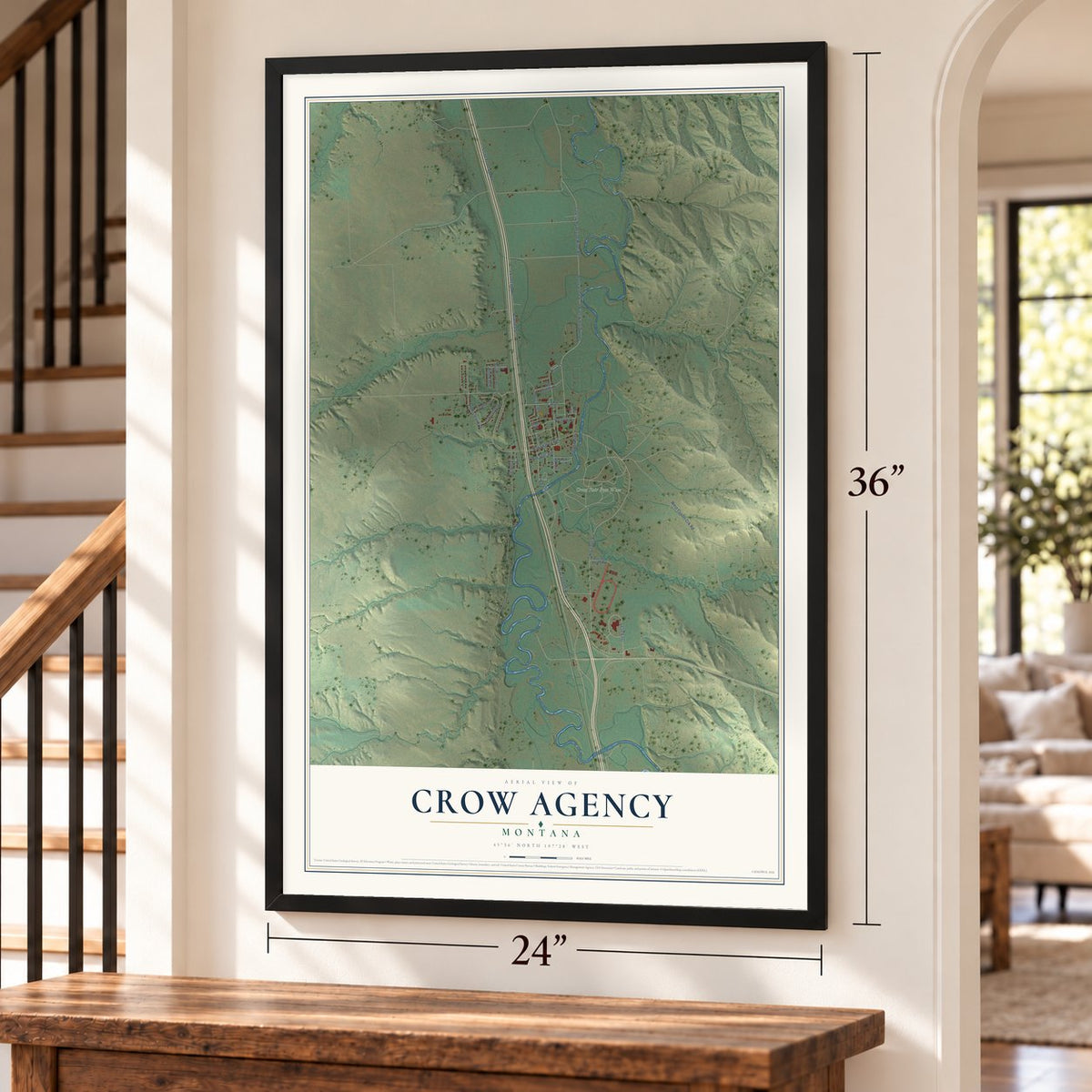
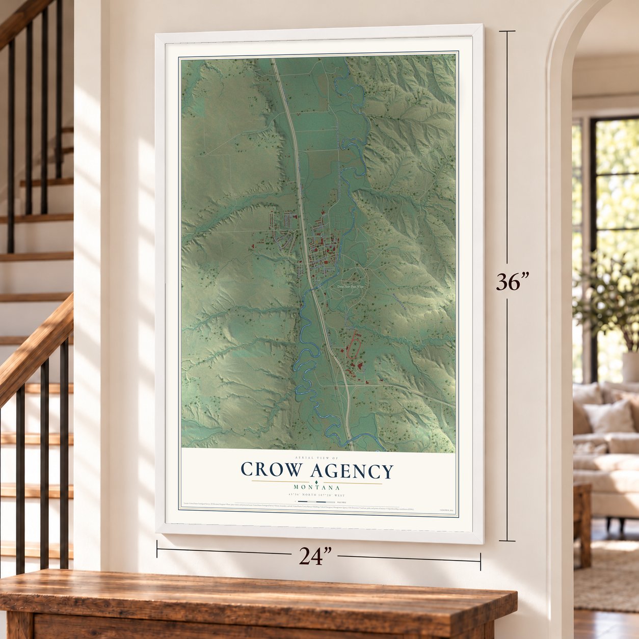
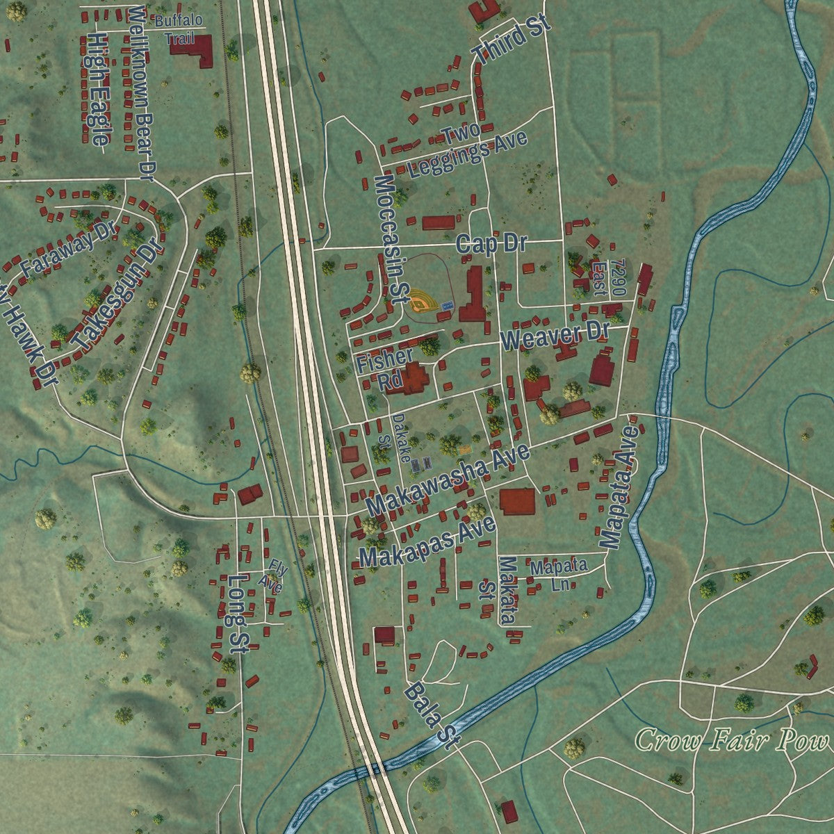
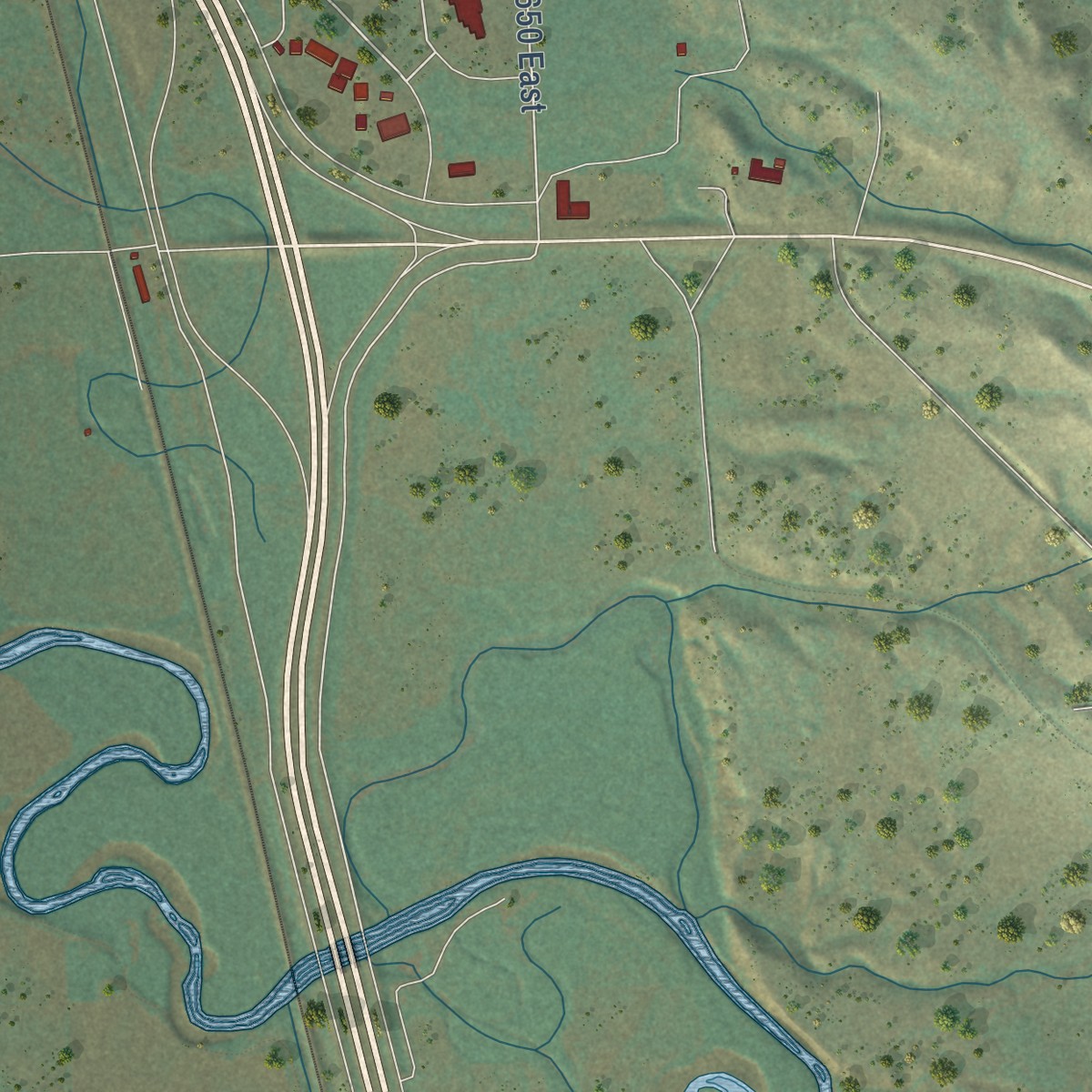
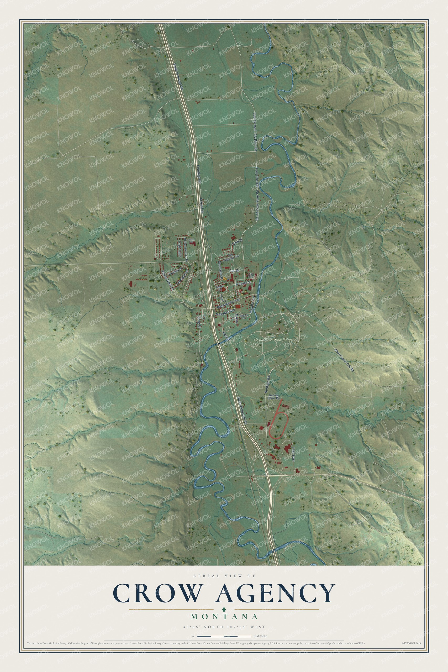
Explore Crow Agency, Montana from a whole new perspective. Created using aerial imagery and detailed geographic data, this map captures Crow Agency building by building, with labeled streets, familiar landmarks, and shaded topographical relief that highlights the natural contours of the landscape.
Combining modern data with the timeless character of a vintage atlas, this map is just as interesting up close as it is beautiful on the wall. Whether you grew up in Crow Agency, spent memorable years there, or call it home today, this unique map is a great way to celebrate a place that means something to you. Zoom in on the preview to look for your street, and then order a print to put your memories on the wall.
Three ways to hang it
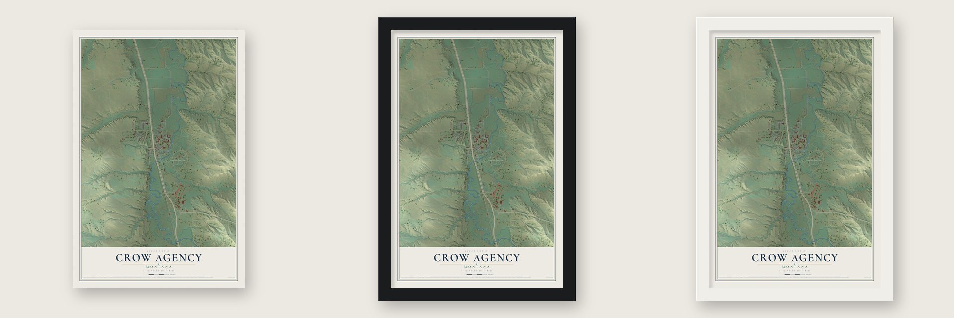
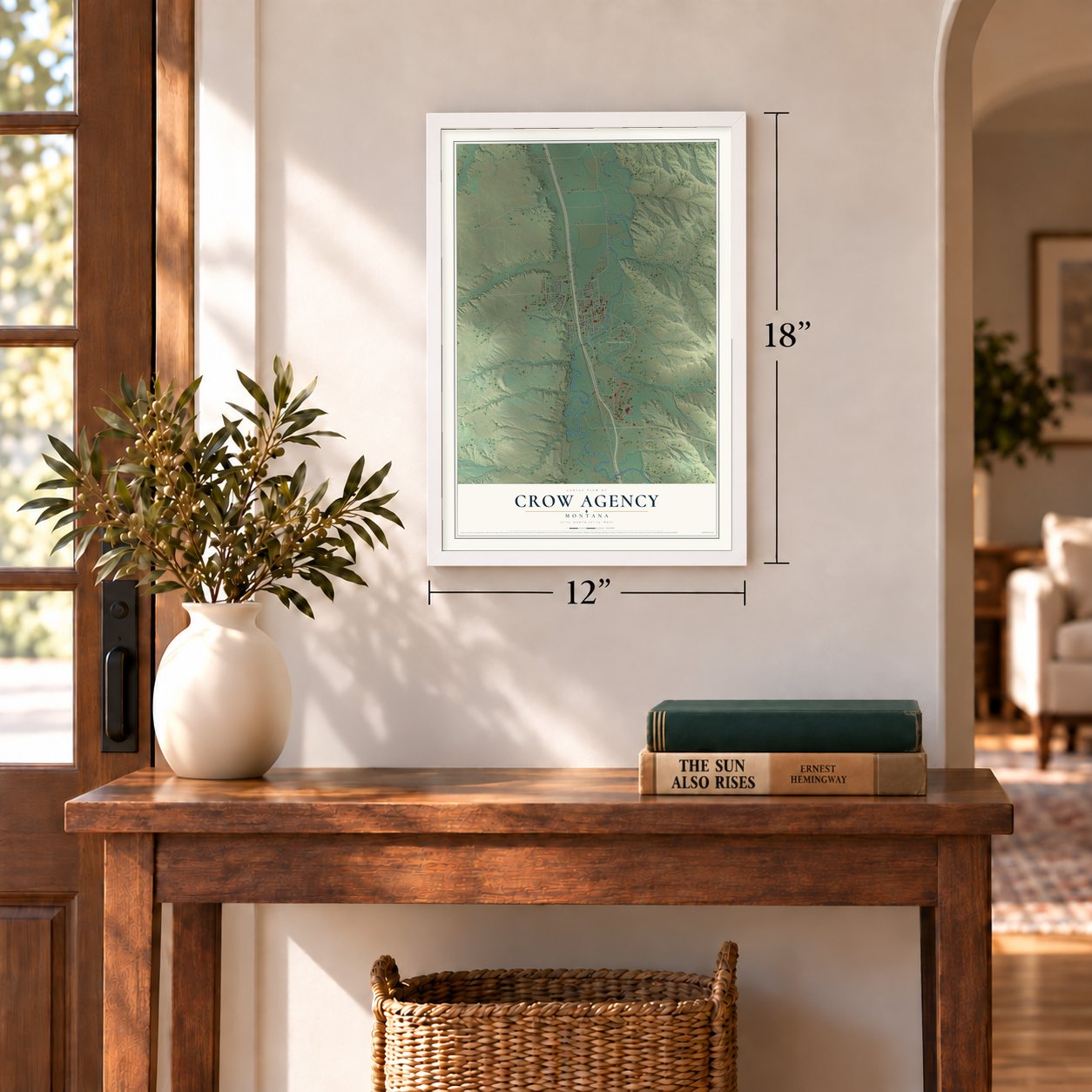
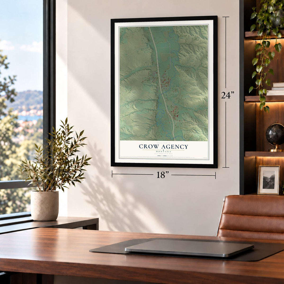
Unframed archival matte, a black wood frame or a white wood frame.
Up close
Geography Worth Displaying
This map was created using accurate cartographic data and authoritative geographic sources, including the U.S. Geological Survey and the Census Bureau. The map brings together terrain, waterways, roads, and building detail. The majority of the streets are labeled, houses are accurately depicted, and the topography is derived from government sources. Combining local data with carefully composed color and shading leads to this beautifully detailed Crow Agency artwork for your wall.
Rather than simply showing street outlines, we’ve included as many of the street names as we could reasonably fit on the map while keeping their names legible. Zoom in on the high resolution preview to see exactly what’s on the map. We truly set out to create a statement piece for anyone who loves Crow Agency. So whether it’s for you, or a gift for someone you love, we hope this map of Crow Agency brings back fond memories.
Read the story behind this map of Crow Agency, Montana from 2026.
Find your street
Names on the Crow Agency map
Every name below is printed on this map. Look for your street, your school, the park where you played, or the pond down the road.
Places and landmarks1
- Crow Fair Pow Wow
Streets and roads32
- Heritage Road
- Frontage Road
- Weaver Drive
- 7650 East
- Bala Street
- South Crow River Road
- Moccasin Street
- Makawasha Avenue
- Arienda Street
- Long Street
- Takesgun Drive
- South Frontage Road
- South Arapoosh Road
- Third Street
- West Custer Crk Road
- Plenty Hawk Drive
- Mapata Avenue
- Cap Drive
- Makapas Avenue
- High Eagle
- Makata Street
- Pretty Shield Street
- Wellknown Bear Drive
- Faraway Drive
- Two Leggings Avenue
- Racing Barns Road
- Fisher Road
- Mapata Lane
- 7290 East
- Dakake Street
Show all 32 streets
- Buffalo Trail
- Fly Avenue
Names are listed as they appear on the printed map. Zoom into the product photos to find them.
About Crow Agency, Montana
Crow Agency is a community of 1,657 people in Big Horn County and the seat of government for the Crow Nation. Its name goes back to 1868, when a treaty promised the Crows a federal agency. The first one went up on Mission Creek, east of present-day Livingston, and came to be called Fort Parker. Miners then pushed onto the reservation's western edge, so in 1875 the land was cut back and the agency moved about 66 miles east to the Stillwater River, south of what is now Absarokee.
By 1882 hide hunters had wiped out the buffalo, and the Northern Pacific Railroad had reached the Yellowstone valley, which ended the Crows' life of following the herds. In 1884 the agency made its third and final move, more than a hundred miles east, to the Little Bighorn River about 60 miles southeast of Billings. Federal staff still work with the Crow Tribe from the agency offices here.
- The Wheat HouseThe new agency stood on the west bank of the Little Bighorn, and before 1884 was over the Office of Indian Affairs had put up 11 buildings there, including a school, a store, a slaughterhouse, a carpenter's shop and a blacksmith shop. The tallest sight in town was the government flour mill, so the Crow people named the place Baaxawuaashe, which means Wheat House.
- Crow Fair since 1904Agent Samuel Reynolds started a farm fair for Crow farmers in 1904, and the Crows soon made racing and dancing its main attraction. Reynolds shut it down over those events in 1906 and 1907. In 1908 he sat down with Chief Plenty Coups and other leaders of the tribe, and afterward he let the fair go on with both farm exhibits and Crow cultural events.
- Teepee Capital of the WorldFamilies raise up to fifteen hundred tipis at Crow Fair every year, and that sea of lodges has earned the gathering its nickname, the Teepee Capital of the World.
- Little Big Man, 1970The closing scenes of the 1970 film Little Big Man were shot in Crow Agency, close to the site of the Battle of the Little Bighorn.
Keep exploring Montana
Crow Agency is one of 526 Montana towns we've mapped. Every dot on the map is a print of its own.
The search covers every state, Montana first.
Near Crow Agency
Order 2 or more town maps and save 10%. Shown in the size and finish you picked above, so they hang as a set.
- Hardin 12" x 18" / Archival Matte Print $39.99
- St. Xavier 12" x 18" / Archival Matte Print $39.99
- Lodge Grass 12" x 18" / Archival Matte Print $39.99
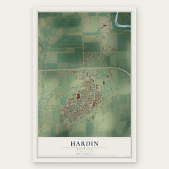
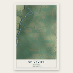
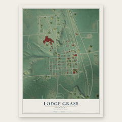
More maps nearby: Forty Mile Colony, Busby, Fort Smith, Muddy and Wyola.
The art of mapping a place
How This Map Was Made
Real places. Remarkable detail. Discover the layers that turn geographic data into a map of home.

The view from above
Aerial imagery reveals the character of the land: woodland, open fields, and the patterns of a place.

The shape of the land
Elevation data brings hills, valleys, and subtle changes in the landscape into view.

The details of home
Roads, waterways, and building footprints come together to make the map feel unmistakably local.

Geography becomes art
Considered color, shading, and typography bring the layers together in a map made for your wall.


Process illustrated with Mendon, Massachusetts. Aerial imagery: USDA NAIP. Terrain: USGS 3D Elevation Program. Map details and finished artwork: KNOWOL.
The Details
About This Print
Choose an archival matte print, or a black or white Ayous wood frame. The archival matte print is unframed.
Select your size and finish above to see the matching product image and price.
Materials & Craftsmanship
A contemporary map with the character of a classic atlas, printed on archival matte paper. Optional frames are made from Ayous wood.
Your printed map does not include the watermark shown in the full-map preview.
Shipping & Delivery
Free shipping within the United States. Every print is made to order in the USA.
Buying a gift? Add a note in your cart and we'll include it. We never put prices in the package.
Prints ship within 2 to 3 business days. Allow 7 to 10 days total from ordering for delivery. Timing may vary during holidays or periods of high order volume.
Read our shipping policy.
Returns and damaged prints
Each print is made to order. Change-of-mind refunds are not available after production.
If your print arrives damaged, misprinted or incorrect, contact support@knowol.com within 30 days of receiving it. Include your order number, photos and a description of the issue.
Read our full refund and replacement policy. For questions about your order, email support@knowol.com.