
Search for another town
Free U.S. delivery 7 to 10 days after you order
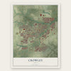
Crowley, Texas Map Art
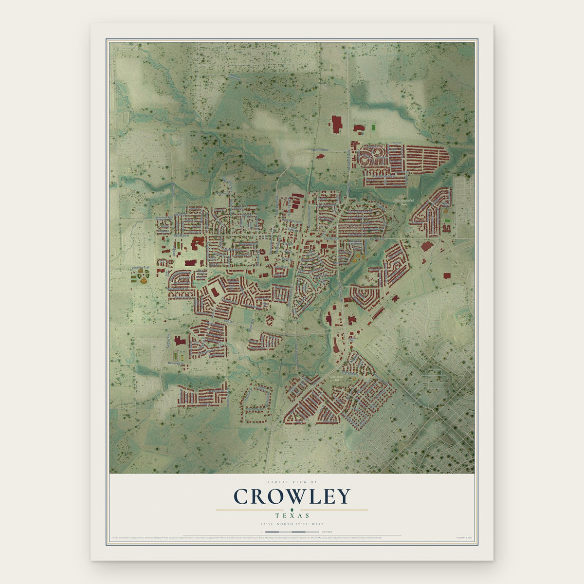
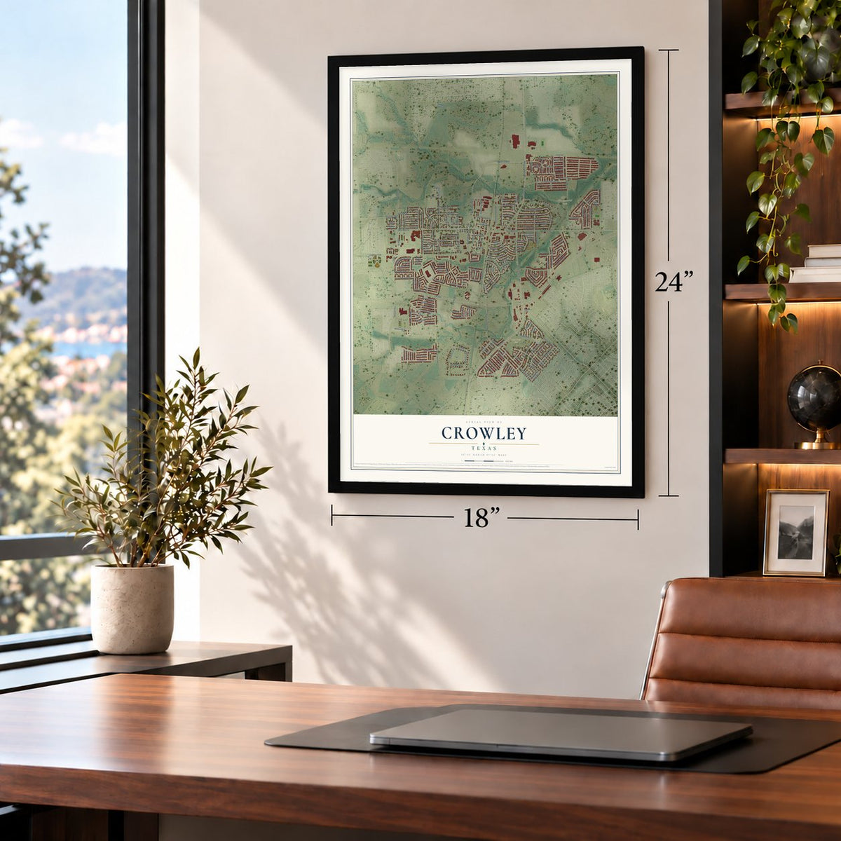
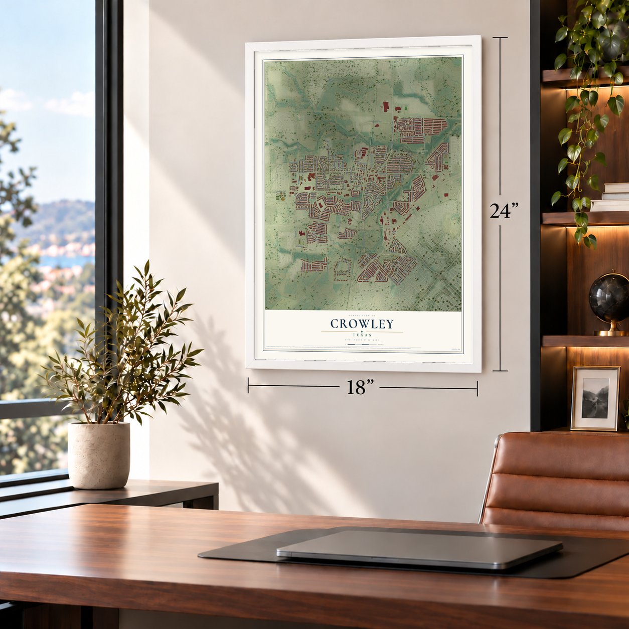
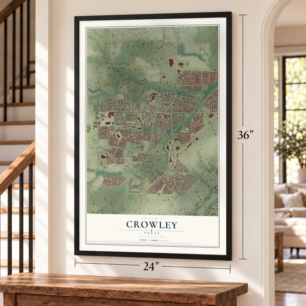
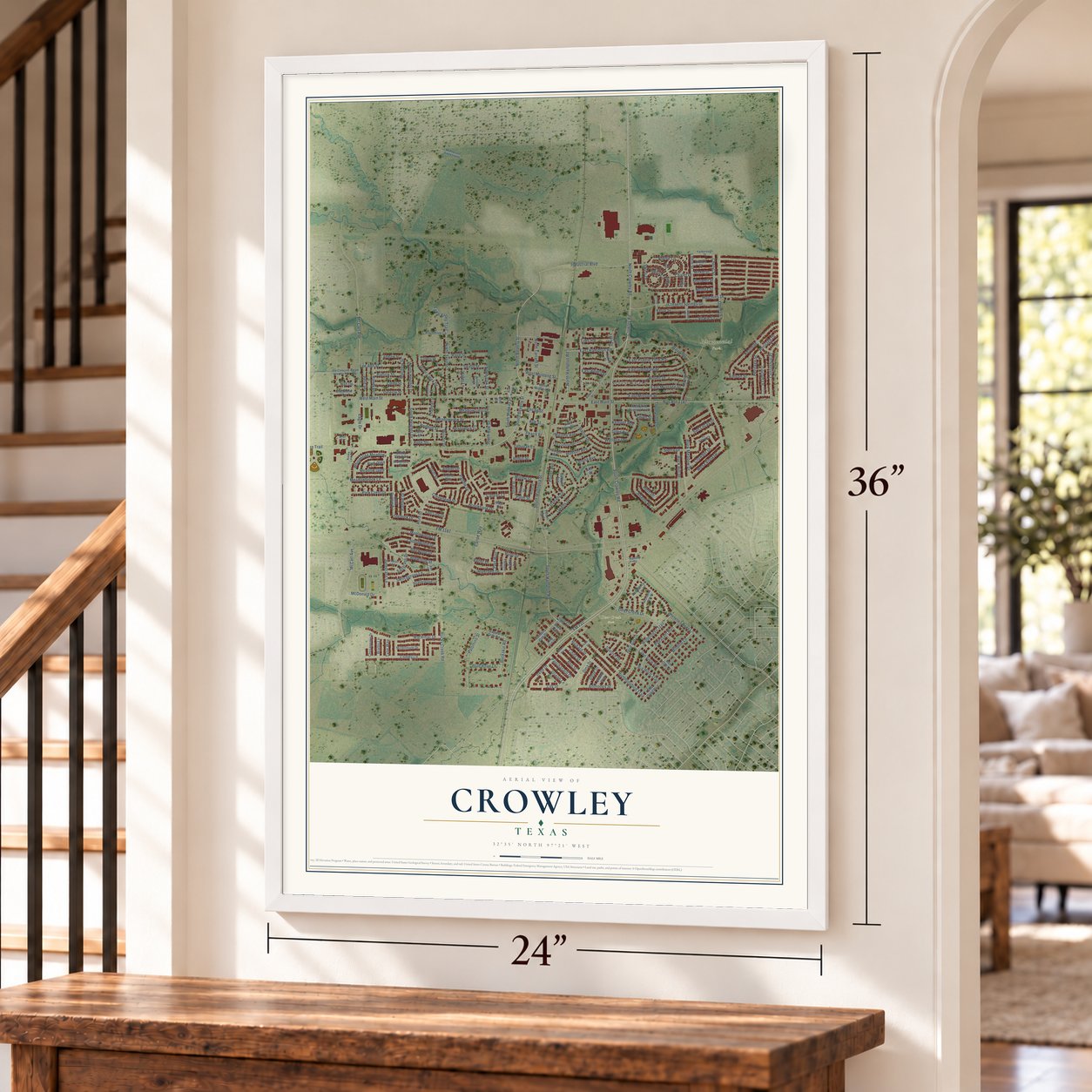
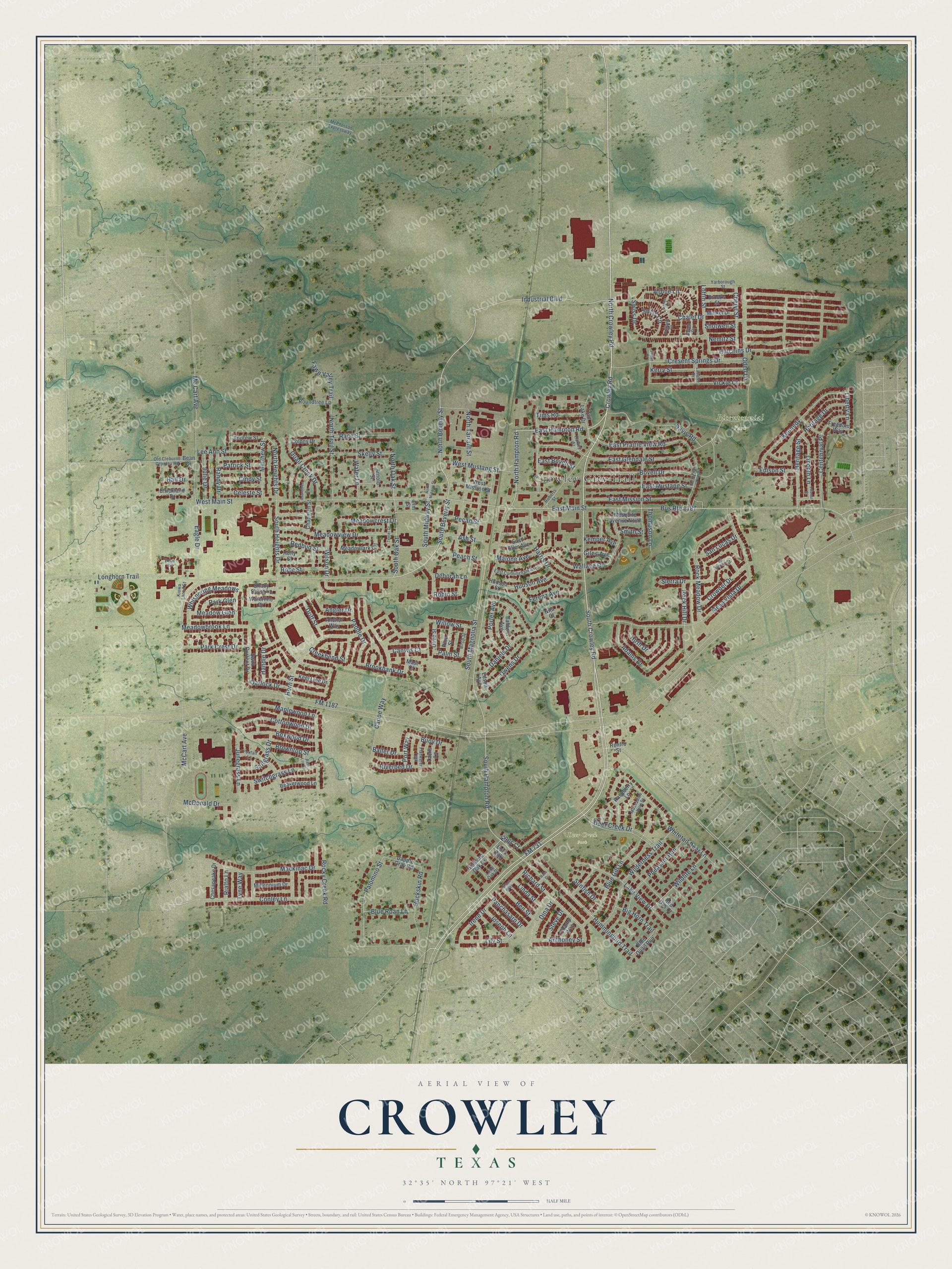
A new map of Crowley, Texas, made in 2026 and printed to order on thick archival matte paper.
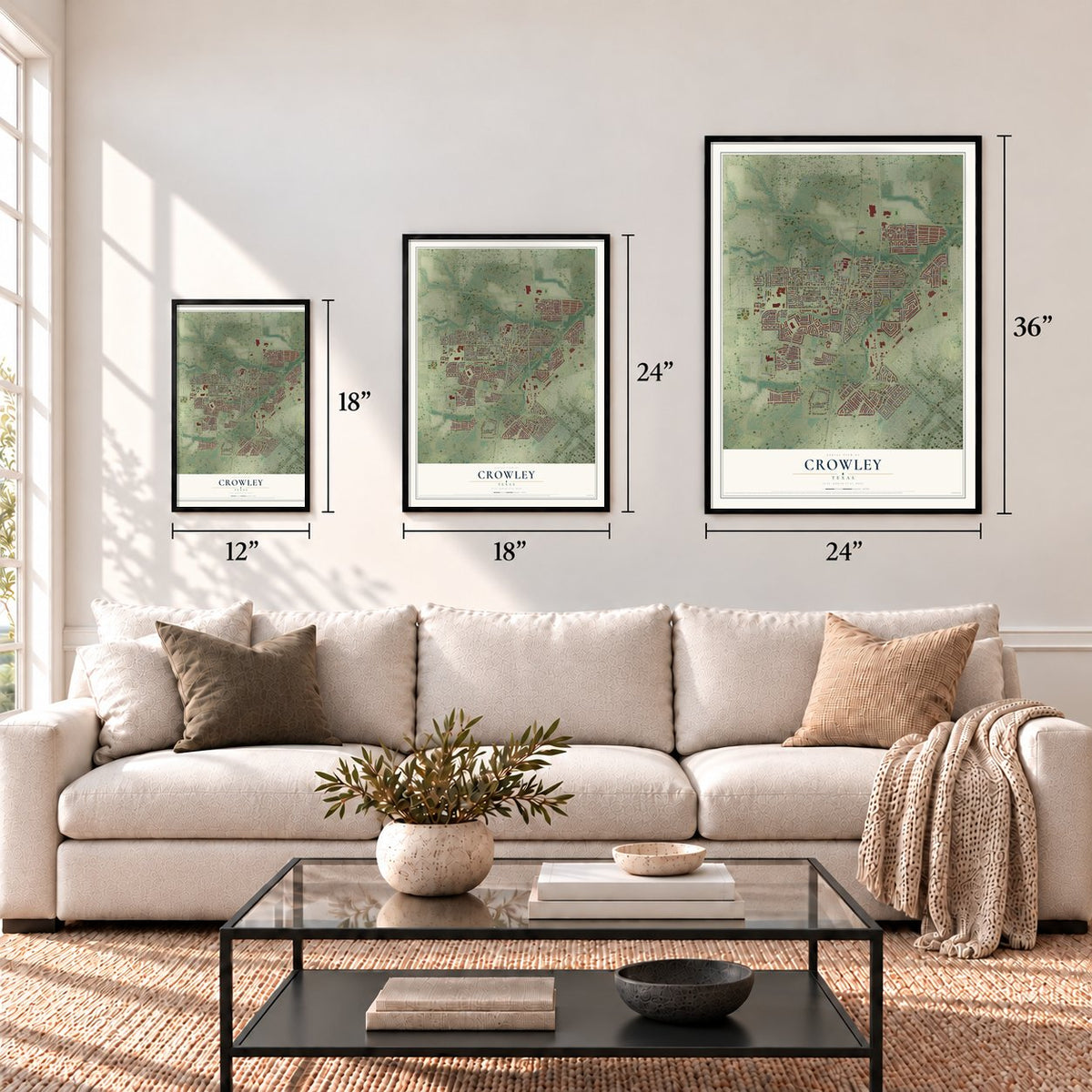
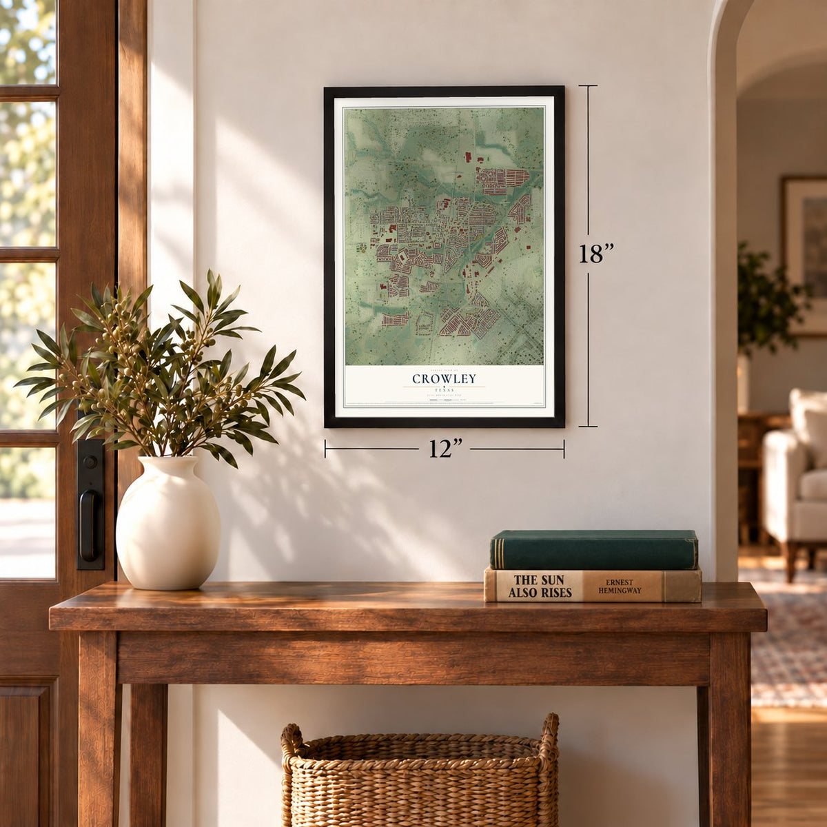
12" x 18" Archival Matte Print
A Map of Home. A Work of Art.
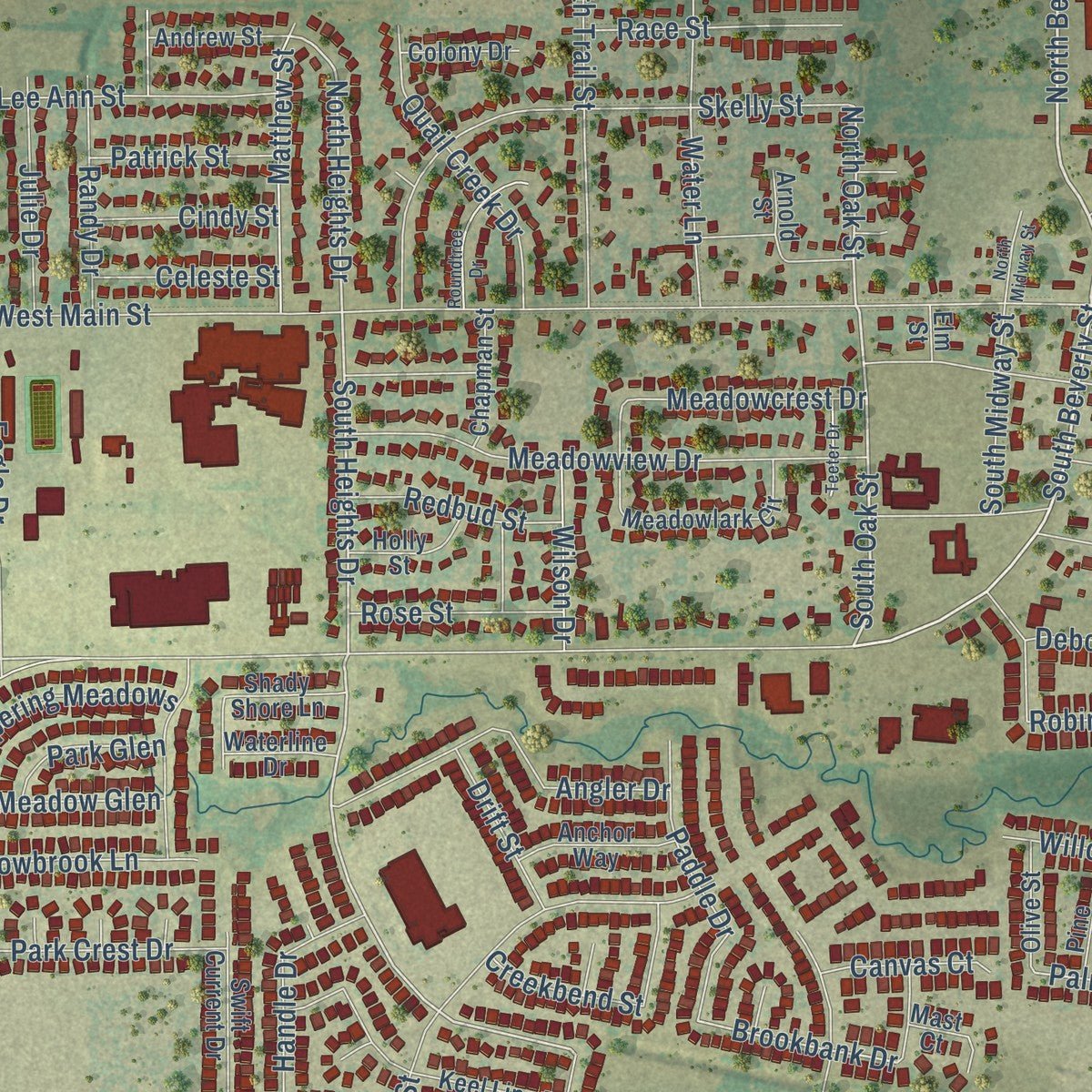
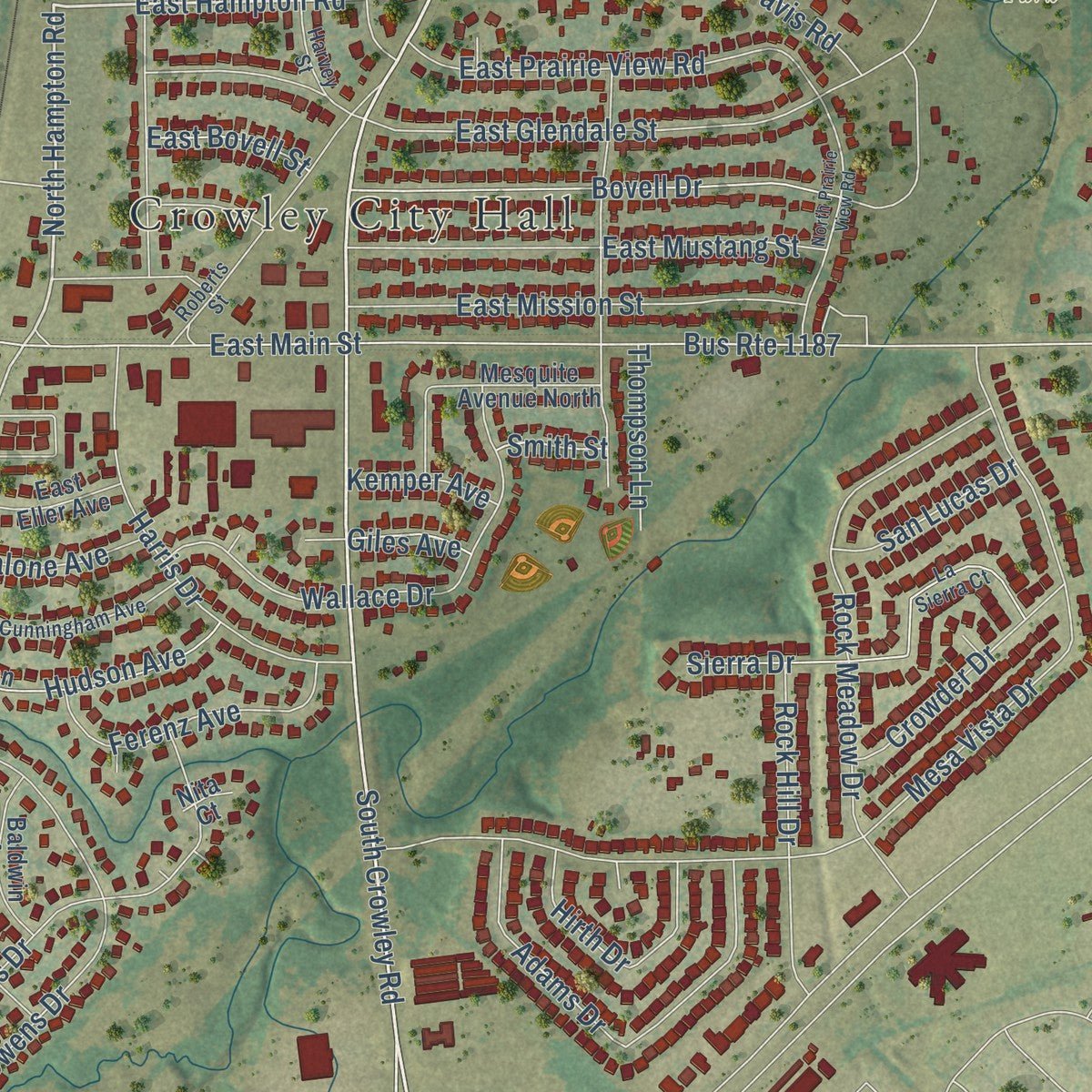
This beautifully detailed map of Crowley, Texas was created in 2026 using aerial imagery combined with modern topographical, census, street and landmark data. It's a modern aerial view of Crowley in Tarrant County, Texas, that combines modern data with a vintage aesthetic. Zoom in on the preview and look for your block.
Three ways to hang it
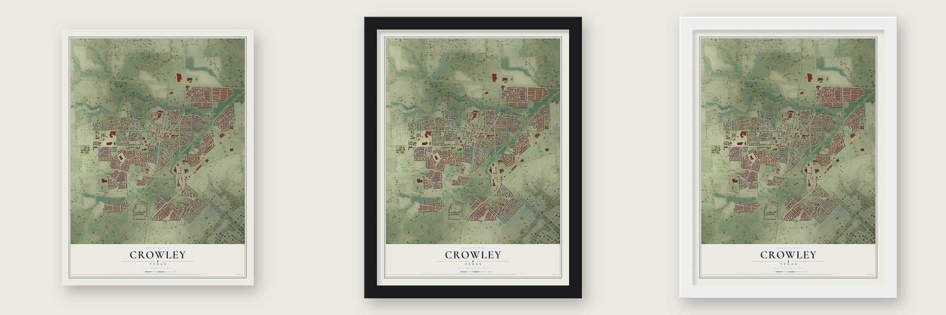
Unframed archival matte, a black wood frame or a white wood frame.
Up close
Real geography. Art worth displaying.
This map was created using accurate cartographic data and authoritative geographic sources, including the U.S. Geological Survey and the Census Bureau. The map brings together terrain, waterways, roads, and building detail. The majority of the streets are labeled, houses are accurately depicted, and the topography is derived from government sources. Combining local data with carefully composed color and shading leads to this beautifully detailed Crowley artwork for your wall.
Rather than simply showing street outlines, we’ve included as many of the street names as we could reasonably fit on the map while keeping their names legible. Zoom in on the high resolution preview to see exactly what’s on the map. We truly set out to create a statement piece for anyone who loves Crowley. So whether it’s for you, or a gift for someone you love, we hope this map of Crowley brings back fond memories.
About Crowley, Texas
Crowley stands in southern Tarrant County at Farm to Market Roads 1187 and 731. Farming near Deer Creek began around 1848, while railroad construction later shifted the settlement to the site of today's downtown. Incorporated after a 1951 election and designated a city in 1972, Crowley counted 18,070 residents in the 2020 census.
- Railroad NamesakeThe first depot opened in 1885, and the community took its name from railroad transportation chief S. H. Crowley.
- Early Post OfficeEstablished in 1882, Crowley's post office moved to the Hayes brothers' general store in 1896.
- Municipal ServicesIncorporation helped Crowley secure water, natural gas, and sewage systems during the 1960s.
- Defense Bond RecordDuring World War II, Crowley achieved a per capita record for purchasing United States Defense Bonds.
- Rapid 1970s GrowthThe population rose from 2,583 in 1970 to 5,852 in 1980.
Find your street
Names on the Crowley map
Every name below is printed on this map. Look for your street, your school, the park where you played, or the pond down the road.
Places and landmarks3
- Crowley City Hall
- Bicentennial Park
- Deer Creek Park
Streets and roads224
- FM 731
- Crowley Road
- North Crowley Road
- North Beverly Street
- East Hampton Road
- North Hampton Road
- South Beverly Street
- South Crowley Road
- Industrial Boulevard
- Whitetail Deer Lane
- South Oak Street
- South Hampton Road
- South Heights Drive
- Wildlife Lane
- Lincoln Lane
- Hummingbird Trail
- North Oak Street
- Kings Court
- North Heights Drive
- Brookbank Drive
- Liberty Lane
- Eagle Drive
- Palomino Street
- Kennedy
- Matthew Street
- Robin Street
- Palm Street
- FM 1187
- Bus Route 1187
- East Main Street
Show all 224 streets
- West Main Street
- Mesa Vista Drive
- Davis Road
- Bovell Drive
- South Magnolia Street
- East Glendale Street
- Deer Creek Drive
- Blue Gill Lane
- East Mustang Street
- East Bovell Street
- North Trail Street
- Horn Street
- East Mission Street
- Rock Meadow Drive
- Skelly Street
- Conley Lane
- Cresent Springs Drive
- Owens Drive
- Canoe Way
- Pecan Street
- Wallace Drive
- Daniels Drive
- North Tarrant Street
- Mackinac Drive
- Meadowview Drive
- Wilderness Trail
- Harris Drive
- Adams Drive
- Centennial Place
- Swiss Drive
- East Prairie View Road
- Chalet Drive
- Sierra Drive
- Vickie Court
- Kerry Street
- Richard Street
- Longhorn Trail
- Pheasant Run
- Lake View Drive
- Angler Drive
- Peach Street
- McCart Avenue
- Alpine Lane
- Switchgrass Lane
- Hutchins Drive
- Whispering Meadows
- Cottonwood Drive
- Buckskin Road
- Rock Hill Drive
- Mc Cart Avenue
- Oarlock Drive
- Ferenz Avenue
- Quail Creek Drive
- Heritage Street
- Water Lane
- Hudson Avenue
- Porter Avenue
- Meadowcrest Drive
- Paddle Drive
- Park Crest Drive
- Boxwood Drive
- Loftin Street
- Lily Street
- Cheryl Street
- Riverbed Drive
- Hirth Drive
- Lee Ann Street
- Crowder Drive
- West Mustang Street
- Meadowbrook Lane
- Creekbend Street
- Race Street
- McDonald Drive
- Heritage Drive
- Maplewood Lane
- Saltgrass Drive
- Handle Drive
- Junegrass Lane
- Randy Drive
- Julie Drive
- Deborah Lane
- Swiss Circle
- Fawn Valley Trail
- Panchasarp Drive
- Irene Drive
- Blue Roan Lane
- Redbud Street
- Anthoney Street
- Buoy Drive
- Hall Drive
- Rose Street
- Browntop Street
- South Midway Street
- Tims Road
- Ben Street
- San Lucas Drive
- Big Horn Trail
- Willow Street
- Meadow Glen
- Dina Drive
- Rocky Creek Road
- Wilson Drive
- Patrick Street
- Cindy Street
- Celeste Street
- Thompson Lane
- Malone Avenue
- Edison Street
- Drift Street
- Ash Street
- Odell Lane
- Canvas Court
- Park Glen
- Rialto Lane
- Joseph Lane
- Sunfish Drive
- Linda Street
- Kemper Avenue
- Steve Drive
- Port Way
- Bailer Drive
- Shotwell Street
- Giles Avenue
- Tyne Way
- Nemitz Street
- Smith Street
- Sendero Oak Drive
- Blue Quail Run
- Keel Line Drive
- Hudson Street
- Meadowlark Circle
- Swift Current Drive
- Chapman Street
- Trail Lake Drive
- Baldwin Avenue
- Mesquite Avenue North
- Beaverwood Lane
- Dapple Gray Road
- Roundtree Lane
- Millennium Drive
- Chesapeake Drive
- Anchor Way
- West Mission Street
- East Eller Avenue
- Andrew Street
- Minkel Drive
- Brooks Street
- Holly Street
- Strickland Drive
- Olive Street
- Pine Street
- Shady Shore Lane
- Colony Drive
- Waterline Drive
- Raspberry Lane
- Edson Avenue
- Tacks Lane
- Champ Way
- Renfro Street
- Mast Court
- Freedom Way
- Arnold Street
- Red Oak Court
- Buck Oak
- Bean Drive
- Elm Street
- Nita Court
- Old Cleburne Crowley Road
- La Sierra Court
- Roberts Street
- Foxtail Lane
- East Cunningham Avenue
- Kiowa Lance Street
- Lone Oak Drive
- Muscadine Vine Street
- Yarborough Street
- Birch Street
- Flatwater Trail
- McPherson Expressway
- Holland Drive
- Harvey Street
- Lasater Drive
- Aspen Drive
- Briar Circle
- Lincoln Street
- North Prairie View Road
- Roundtree Drive
- Chase Way
- Alpine Street
- Teeter Drive
- North Midway Street
- Rain Lily Drive
- Bass Drive
- Jetton Court
Names are listed as they appear on the printed map. Zoom into the product photos to find them.
The art of mapping a place
How This Map Was Made
Real places. Remarkable detail. Discover the layers that turn geographic data into a map of home.

The view from above
Aerial imagery reveals the character of the land: woodland, open fields, and the patterns of a place.

The shape of the land
Elevation data brings hills, valleys, and subtle changes in the landscape into view.

The details of home
Roads, waterways, and building footprints come together to make the map feel unmistakably local.

Geography becomes art
Considered color, shading, and typography bring the layers together in a map made for your wall.


Process illustrated with Mendon, Massachusetts. Aerial imagery: USDA NAIP. Terrain: USGS 3D Elevation Program. Map details and finished artwork: KNOWOL.
The Details
About This Print
Choose an archival matte print, or a black or white Ayous wood frame. The archival matte print is unframed.
Select your size and finish above to see the matching product image and price.
Materials & Craftsmanship
A contemporary map with the character of a classic atlas, printed on archival matte paper. Optional frames are made from Ayous wood.
Your printed map does not include the watermark shown in the full-map preview.
Shipping & Delivery
Free shipping within the United States. Every print is made to order in the USA.
Buying a gift? Add a note in your cart and we'll include it. We never put prices in the package.
Prints ship within 2 to 3 business days. Allow 7 to 10 days total from ordering for delivery. Timing may vary during holidays or periods of high order volume.
Read our shipping policy.
Returns and damaged prints
Each print is made to order. Change-of-mind refunds are not available after production.
If your print arrives damaged, misprinted or incorrect, contact support@knowol.com within 30 days of receiving it. Include your order number, photos and a description of the issue.
Read our full refund and replacement policy. For questions about your order, email support@knowol.com.
Find your town
Looking for another city?
Find a map of home in our Texas collection, or any town in the country.
Nearby
Maps of towns near Crowley
Know someone from one of these towns? Their map makes a great gift.
 Burleson
, Texas
From $39.99See the map
 Edgecliff Village
, Texas
From $39.99See the map
 Everman
, Texas
From $39.99See the map
More maps nearby: Briaroaks, Cross Timber, Rendon, Forest Hill and Joshua.