
Search for another town




Free U.S. delivery 7 to 10 days after you order
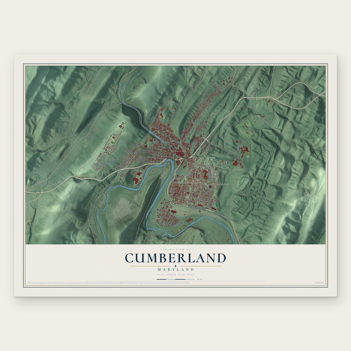
Cumberland, Maryland Map Art
Building by building, with labeled streets and shaded relief.
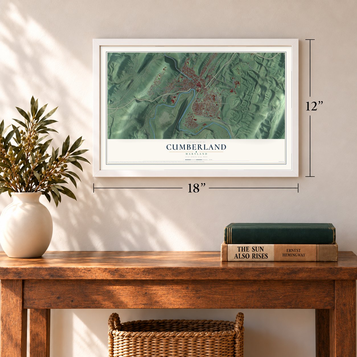
12" x 18" Archival Matte Print
A Map of Home. A Work of Art.
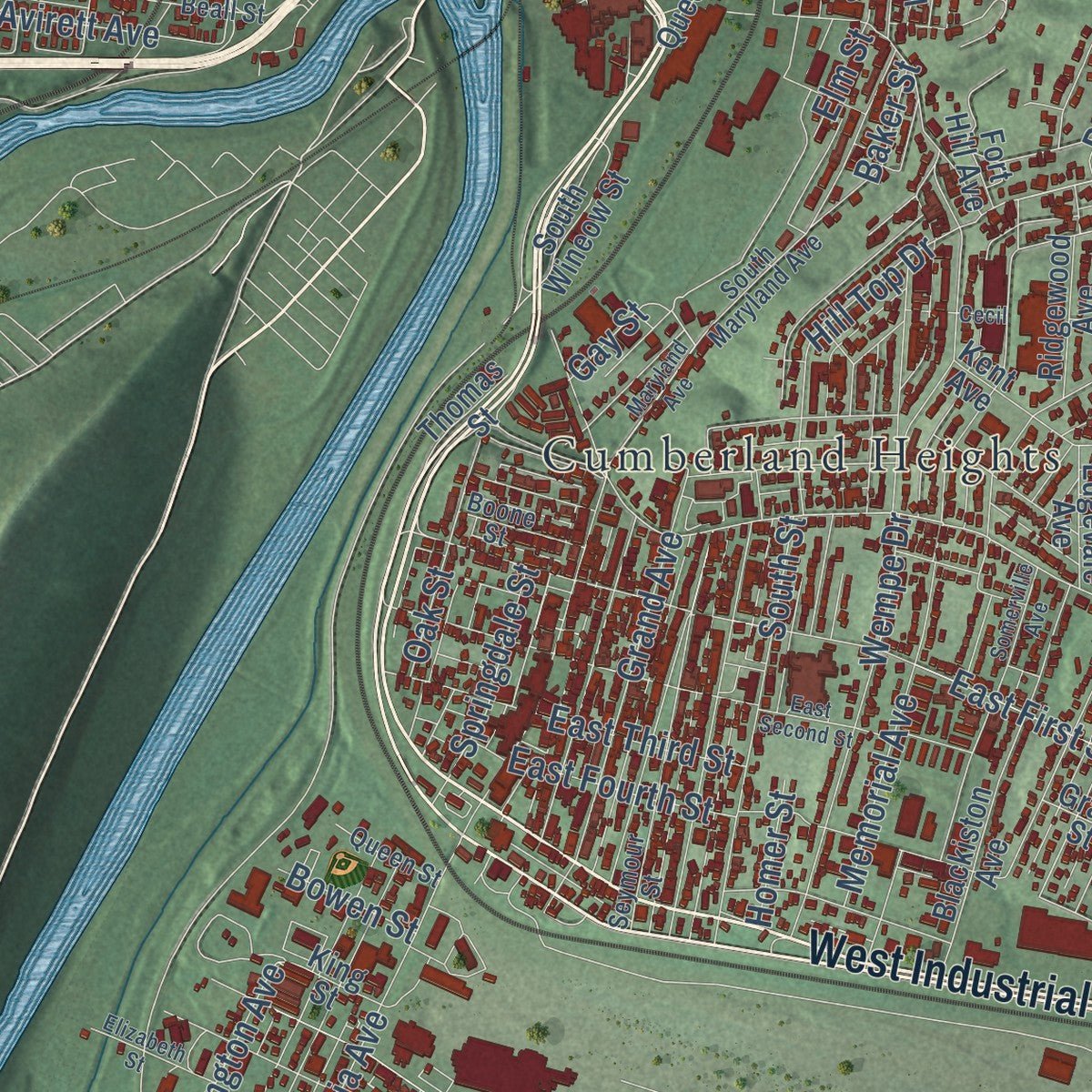
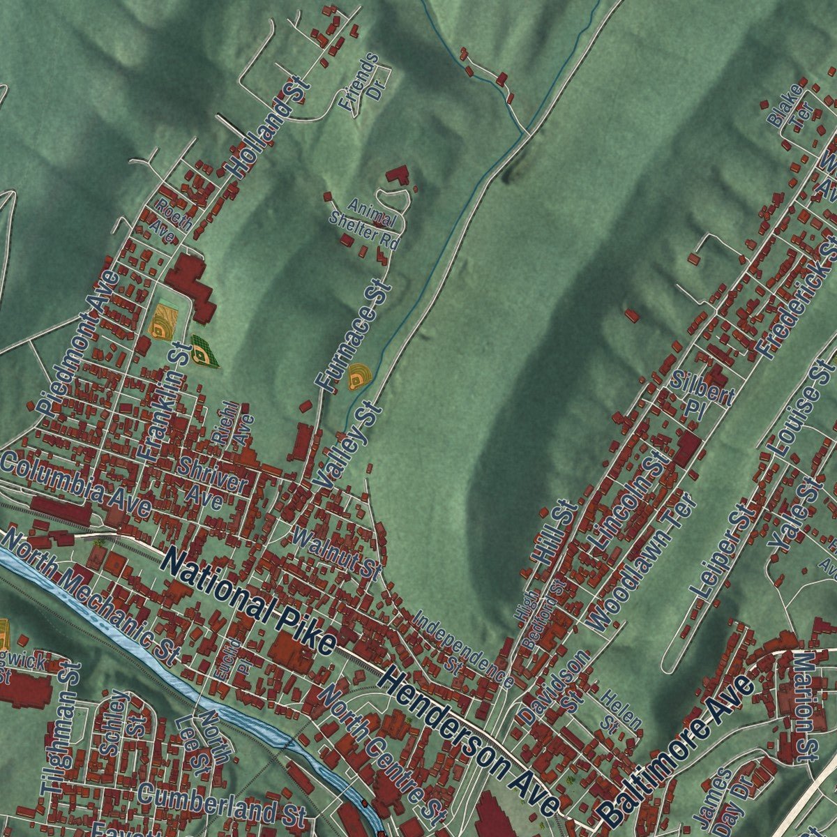
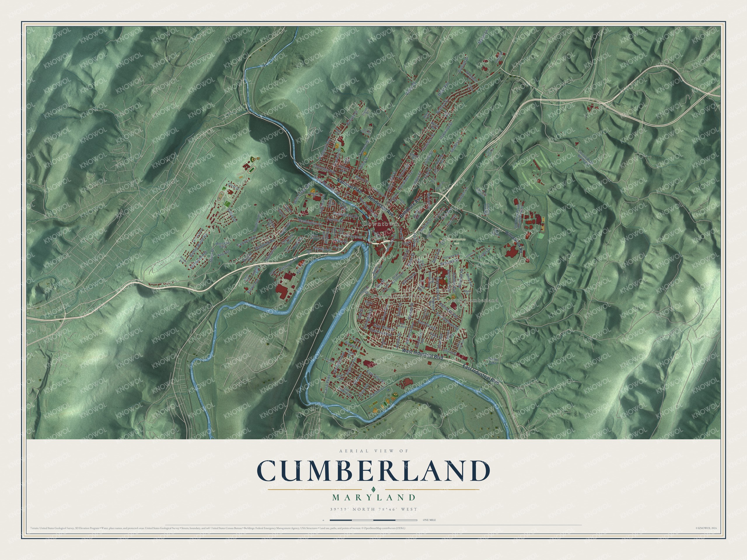
Explore Cumberland, Maryland from a whole new perspective. Created using aerial imagery and detailed geographic data, this map captures Cumberland building by building, with labeled streets, familiar landmarks, and shaded topographical relief that highlights the natural contours of the landscape.
Combining modern data with the timeless character of a vintage atlas, this map is just as interesting up close as it is beautiful on the wall. Whether you grew up in Cumberland, spent memorable years there, or call it home today, this unique map is a great way to celebrate a place that means something to you. Zoom in on the preview to look for your street, and then order a print to put your memories on the wall.
Three ways to hang it
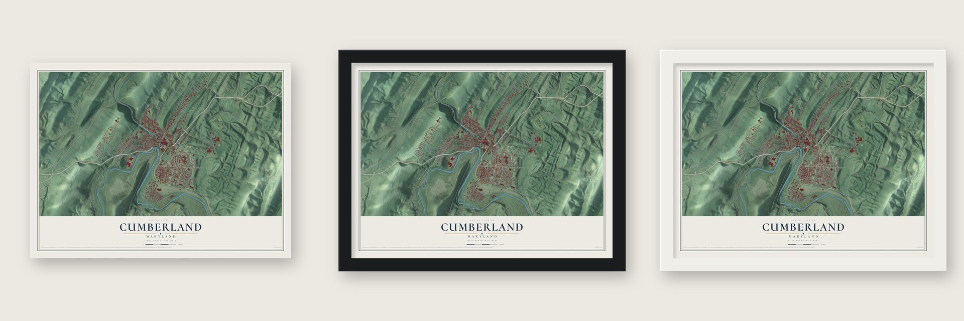
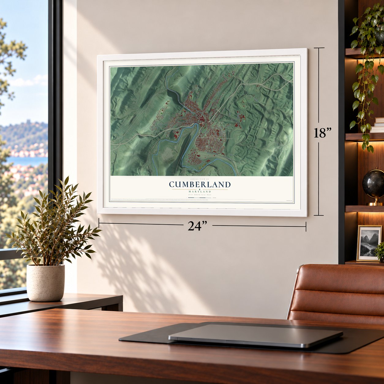
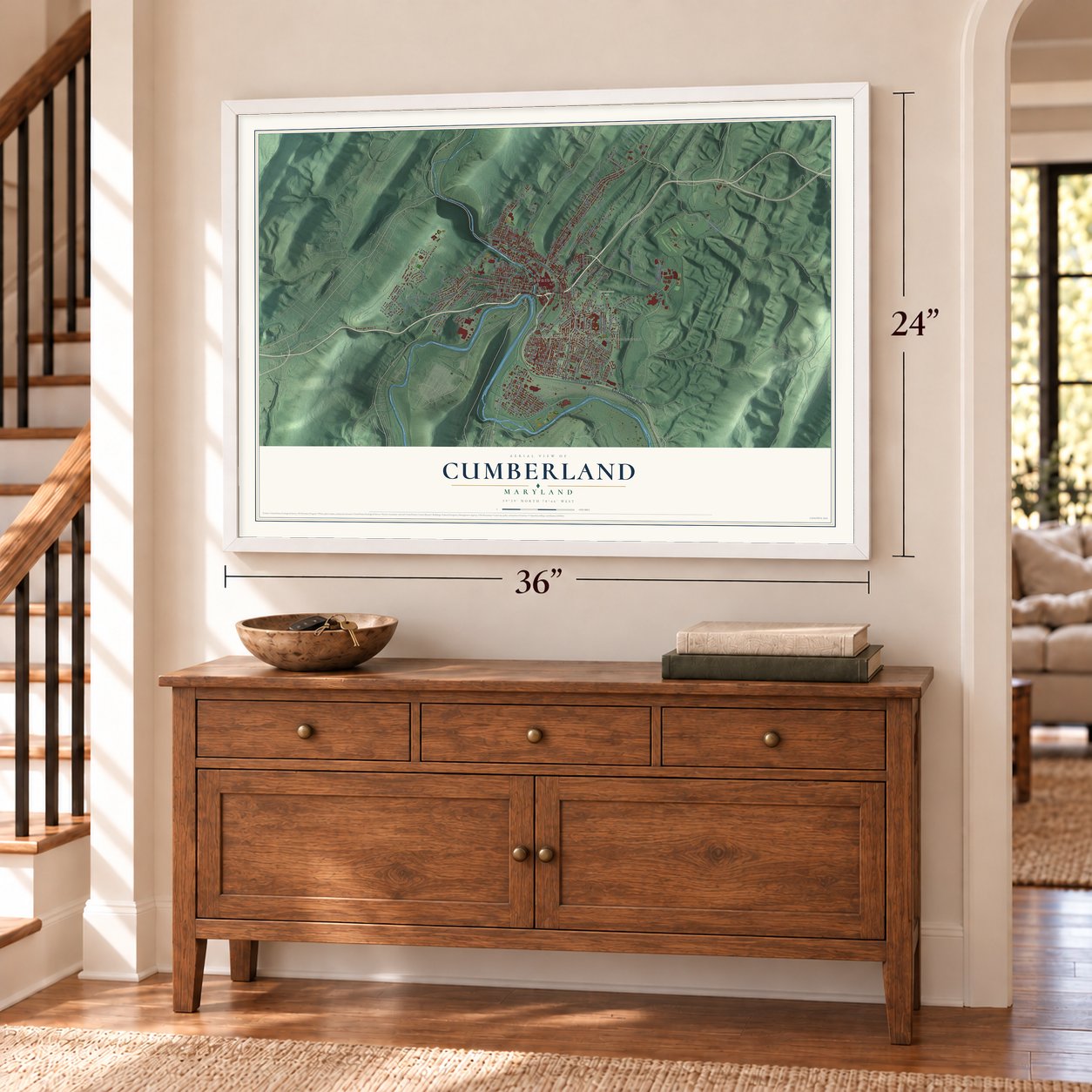
Unframed archival matte, a black wood frame or a white wood frame.
Up close
Geography Worth Displaying
This map was created using accurate cartographic data and authoritative geographic sources, including the U.S. Geological Survey and the Census Bureau. The map brings together terrain, waterways, roads, and building detail. The majority of the streets are labeled, houses are accurately depicted, and the topography is derived from government sources. Combining local data with carefully composed color and shading leads to this beautifully detailed Cumberland artwork for your wall.
Rather than simply showing street outlines, we’ve included as many of the street names as we could reasonably fit on the map while keeping their names legible. Zoom in on the high resolution preview to see exactly what’s on the map. We truly set out to create a statement piece for anyone who loves Cumberland. So whether it’s for you, or a gift for someone you love, we hope this map of Cumberland brings back fond memories.
Read the story behind this map of Cumberland, Maryland from 2026.

Find your street
Names on the Cumberland map
Every name below is printed on this map. Look for your street, your school, the park where you played, or the pond down the road.
Places and landmarks5
- Downtown
- Constitution Park
- Cumberland Heights
- South Cumberland
- Frazier Lake
Streets and roads173
- National Pike
- Baltimore Avenue
- West Industrial Boulevard
- Henderson Avenue
- East Industrial Boulevard
- Bedford Street
- North Mechanic Street
- Frederick Street
- Greene Street
- Williams Street
- Brown Avenue
- Washington Street
- Shades Lane
- East Oldtown Road
- Braddock Road
- Bishop Walsh Road
- Seton Drive
- Canal Parkway
- Virginia Avenue
- Fayette Street
- Valley Street
- Holland Street
- East First Street
- Winifred Road
- North Centre Street
- Memorial Avenue
- Kelly Road
- Candoc Lane
- Patterson Avenue
- East Fourth Street
Show all 173 streets
- Oakwood Street
- Cumberland Street
- Furnace Street
- Columbia Avenue
- Pine Avenue
- Leiper Street
- Louise Street
- Wempe Drive
- Grand Avenue
- South Street
- Franklin Street
- Gephart Drive
- Piedmont Avenue
- Valley Road
- Hill Top Drive
- Utah Avenue
- Yale Street
- Wills Creek Avenue
- East Offut Street
- Camden Avenue
- Ella Avenue
- Avondale Avenue
- Golden Lane
- Avirett Avenue
- Hunt Terrace
- Greenway Avenue
- Miller Avenue
- Fort Avenue
- Kentucky Avenue
- Park Street
- Springdale Street
- Olive Avenue
- Oak Street
- Woodlawn Terrace
- Lexington Avenue
- Maces Lane
- Richwood Avenue
- Haddon Avenue
- Paca Street
- Dorn Avenue
- East Third Street
- Tilghman Street
- Durham Drive
- Baker Street
- Cobey Drive
- South Terrace
- Marion Street
- Gay Street
- Fisher Drive
- Lincoln Street
- Andrew Street
- Bowen Street
- Homer Street
- Hill Street
- Elm Street
- Willowbrook Road
- Christie Road Northeast
- East Roberts Street
- South Allegany Street
- Queen City Drive
- Old Willow Brook Road Southeast
- White Avenue
- Blackiston Avenue
- Country Club Road
- Kent Avenue
- Shriver Avenue
- Windsor Road
- Church Street
- James Day Drive
- Davidson Street
- South Wineow Street
- Ridgewood Avenue
- Moccasin Path
- Grant Street
- Woodland Drive
- North Lee Street
- Wellington Lane
- River Avenue
- Cleveland Avenue
- Mullen Street
- Woodside Avenue
- Fort Hill Avenue
- Leslie Lane
- Edgevale Avenue
- Harding Avenue
- Thomas Street
- Walnut Street
- Schley Street
- Haig Avenue
- Crest Drive
- Lefevre Road
- King Street
- High Lane
- Dent Lane
- Silbert Place
- Welch Avenue
- Seymour Street
- Independence Street
- Parkview Avenue
- Sedgwick Street
- Beall Street
- Friends Drive
- White Oaks Avenue
- Sperry Terrace
- Eastern Avenue
- South Lee Street
- Cecelia Street
- Rose Hill Avenue
- South Maryland Avenue
- Welton Drive
- Boone Street
- Commerce Drive
- Dryer Avenue
- Queen Street
- Helen Street
- Calvin Street
- Wilmont Avenue
- Lynn Street
- Saint Paul Drive
- Rayne Drive
- Riehl Avenue
- Pearl Street
- Blake Terrace
- South Mechanic Street
- Maryland Avenue
- East Second Street
- Somerville Avenue
- Cherrywood Avenue
- Elizabeth Street
- Dale Avenue
- South Chase Street
- High Bedford Street
- Hudson Avenue
- Euclid Place
- Amber Drive Southeast
- Seneca Avenue
- Animal Shelter Road
- Frost Avenue
- Ridgedale Avenue
- McKenzie Lane
- Edward Avenue
- Roeth Avenue
- Cecil
Names are listed as they appear on the printed map. Zoom into the product photos to find them.
About Cumberland, Maryland
Cumberland is a city of 19,076 people and the county seat of Allegany County, where Wills Creek meets the North Branch of the Potomac River. English colonists named it for Prince William, Duke of Cumberland, a son of King George II. The city grew up on the site of Fort Cumberland. During the French and Indian War, British General Edward Braddock marched from that fort to attack the French at Fort Duquesne, where Pittsburgh stands today, and his attack failed.
In the 1800s, roads, a canal and railroads all met here. The Cumberland Road, begun in 1811, started in Cumberland and ran west to Wheeling on the Ohio River, and it became the first part of the National Road. The Chesapeake and Ohio Canal also ended here, until faster trains that carried more freight took its trade. Mines and mills turned the city into Maryland's second largest after Baltimore, the "Queen City." Heavy industry cut back after World War II, and the population fell from 39,483 in 1940 to fewer than 20,000 today.
- Washington's first headquartersAs a colonel during the war with the French, George Washington kept an outpost here, and Cumberland is where his first military headquarters was built. He returned in 1794 as President to review the troops gathered to put down the Whiskey Rebellion.
- Shelter beneath a churchIn the 1850s, people escaping slavery hid in tunnels under the floor of Emmanuel Episcopal Church, which stands on the site of Fort Cumberland. An abolitionist pastor led the church, and from there it was five more miles to freedom in Pennsylvania. The 1850 church is an early Gothic Revival building with three large Tiffany windows.
- A synagogue from 1865Temple B'er Chayim put up its Gothic Revival building in 1865. It ranks among the oldest synagogue buildings still standing in the United States, and it joined the National Register in 1979.
- Roosevelt at City HallPresident Theodore Roosevelt gave a speech from City Hall in 1912. City Hall joined the National Register in 1973, along with the Public Safety Building and the Western Maryland Railway Station, where the Western Maryland Scenic Railroad now runs. The Town Clock Church and the African Methodist Episcopal Church followed in 1979.
- A towpath to WashingtonToday the old canal belongs to the Chesapeake and Ohio Canal National Historical Park, and walkers, riders and cyclists can follow its towpath about 185 miles from Cumberland to Washington, D.C. The Great Allegheny Passage carries the trail on to Pittsburgh.
Keep exploring Maryland
Cumberland is one of 876 Maryland towns we've mapped. Every dot on the map is a print of its own.
The search covers every state, Maryland first.
Near Cumberland
Order 2 or more town maps and save 10%. Shown in the size and finish you picked above, so they hang as a set.
- Bowmans Addition 12" x 18" / Archival Matte Print $39.99
- Bowling Green 12" x 18" / Archival Matte Print $39.99
- Corriganville 12" x 18" / Archival Matte Print $39.99
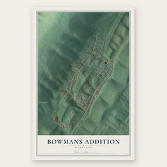


More maps nearby: Potomac Park, La Vale, Pleasant Grove, Ellerslie and Barrelville.
The art of mapping a place
How This Map Was Made
Real places. Remarkable detail. Discover the layers that turn geographic data into a map of home.

The view from above
Aerial imagery reveals the character of the land: woodland, open fields, and the patterns of a place.

The shape of the land
Elevation data brings hills, valleys, and subtle changes in the landscape into view.

The details of home
Roads, waterways, and building footprints come together to make the map feel unmistakably local.

Geography becomes art
Considered color, shading, and typography bring the layers together in a map made for your wall.


Process illustrated with Mendon, Massachusetts. Aerial imagery: USDA NAIP. Terrain: USGS 3D Elevation Program. Map details and finished artwork: KNOWOL.
The Details
About This Print
Choose an archival matte print, or a black or white Ayous wood frame. The archival matte print is unframed.
Select your size and finish above to see the matching product image and price.
Materials & Craftsmanship
A contemporary map with the character of a classic atlas, printed on archival matte paper. Optional frames are made from Ayous wood.
Your printed map does not include the watermark shown in the full-map preview.
Shipping & Delivery
Free shipping within the United States. Every print is made to order in the USA.
Buying a gift? Add a note in your cart and we'll include it. We never put prices in the package.
Prints ship within 2 to 3 business days. Allow 7 to 10 days total from ordering for delivery. Timing may vary during holidays or periods of high order volume.
Read our shipping policy.
Returns and damaged prints
Each print is made to order. Change-of-mind refunds are not available after production.
If your print arrives damaged, misprinted or incorrect, contact support@knowol.com within 30 days of receiving it. Include your order number, photos and a description of the issue.
Read our full refund and replacement policy. For questions about your order, email support@knowol.com.