
Search for another town



Free U.S. delivery 7 to 10 days after you order
Dalton, Georgia Map Art
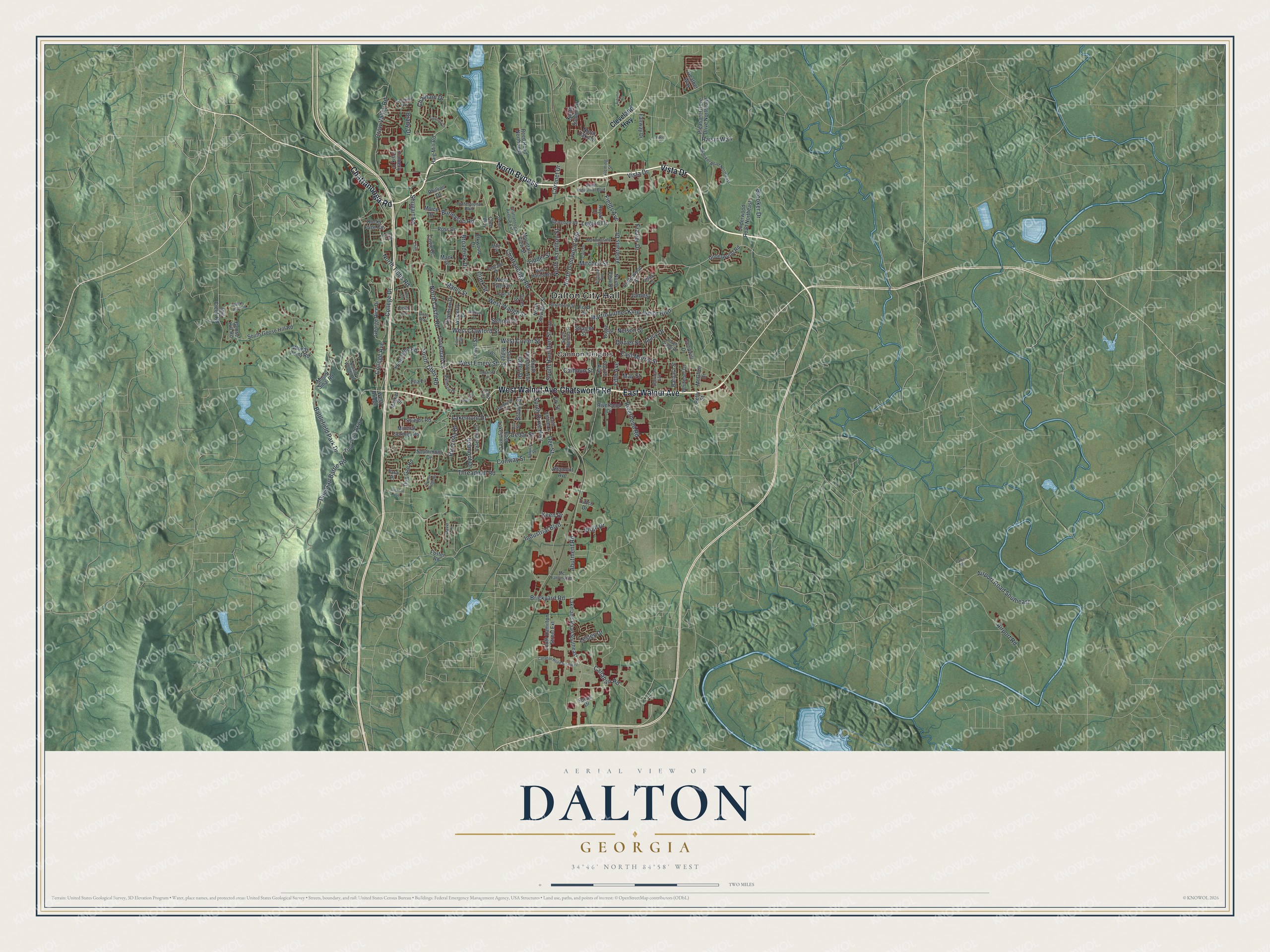
A new map of Dalton, Georgia, made in 2026 and printed to order on thick archival matte paper.
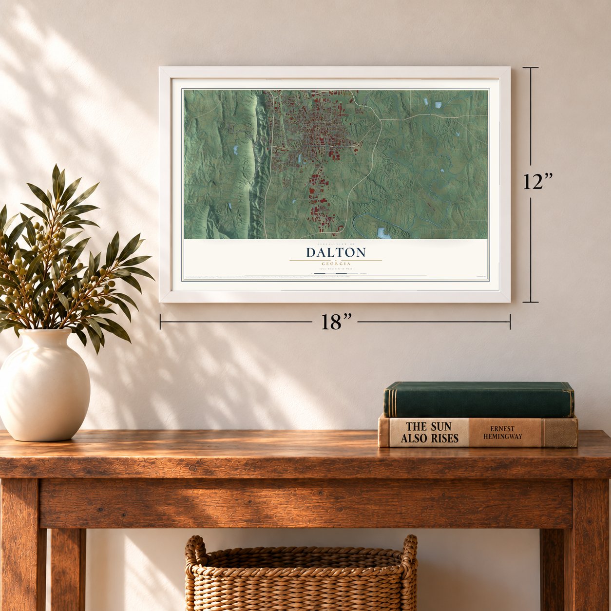
12" x 18" Archival Matte Print
A Map of Home. A Work of Art.
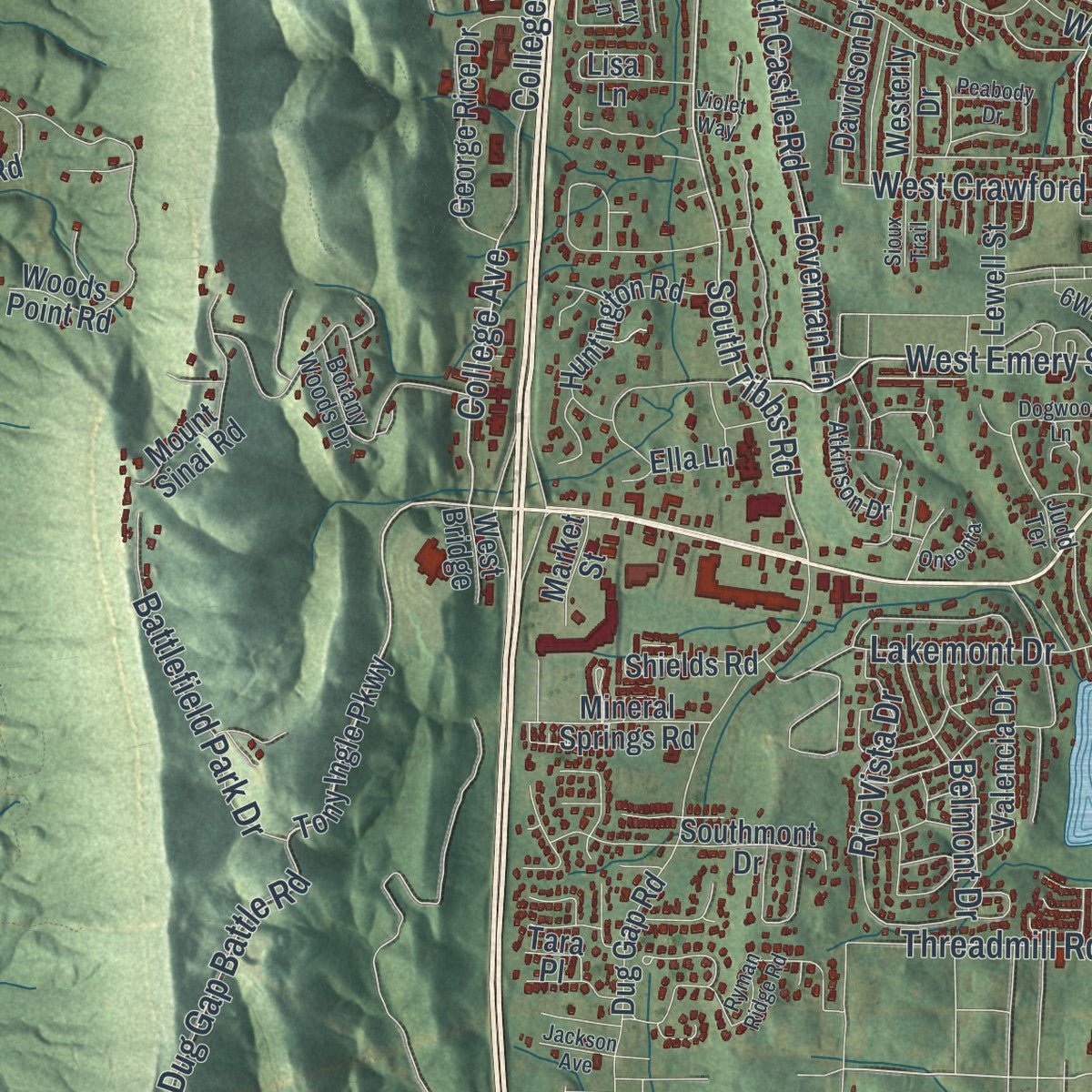
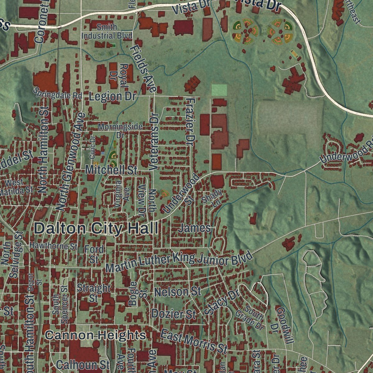
Explore Dalton, Georgia from a whole new perspective. Created using aerial imagery and detailed geographic data, this map captures Dalton building by building, with labeled streets, familiar landmarks, and shaded topographical relief that highlights the natural contours of the landscape.
Combining modern data with the timeless character of a vintage atlas, this map is just as interesting up close as it is beautiful on the wall. Whether you grew up in Dalton, spent memorable years there, or call it home today, this unique map is a great way to celebrate a place that means something to you. Zoom in on the preview to look for your street, and then order a print to put your memories on the wall.
Three ways to hang it
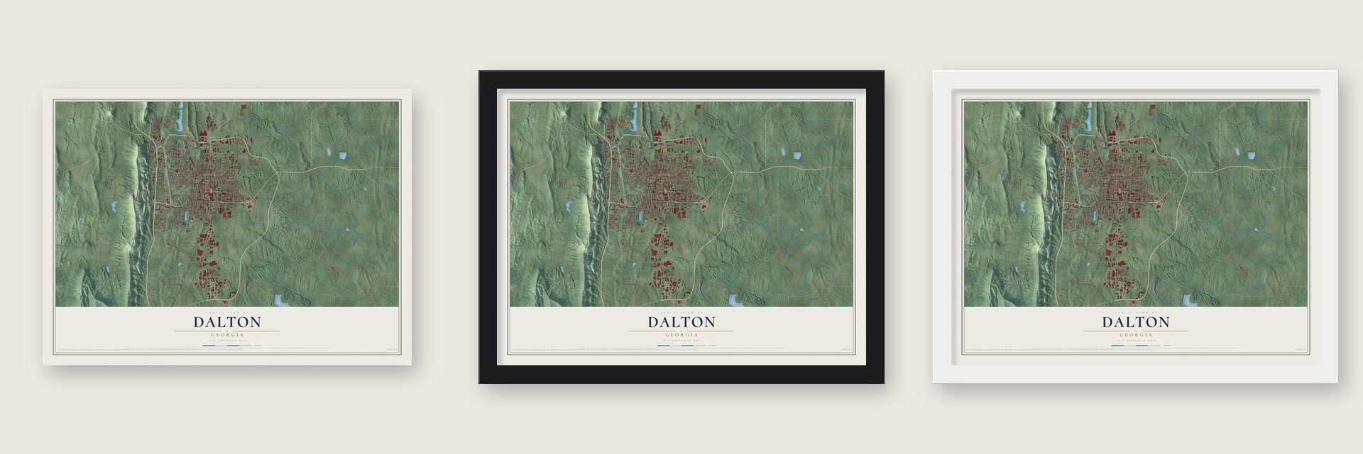
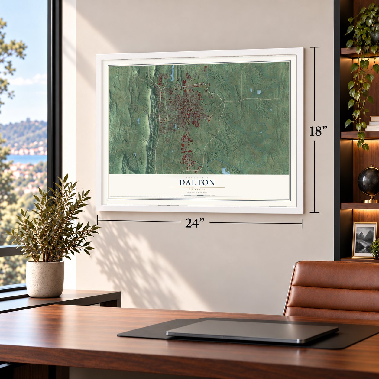
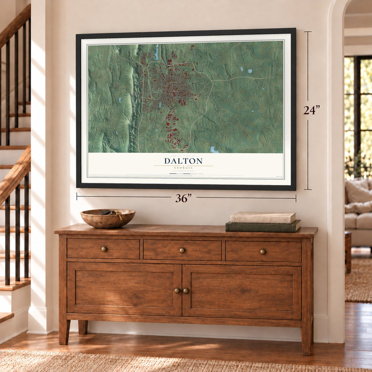
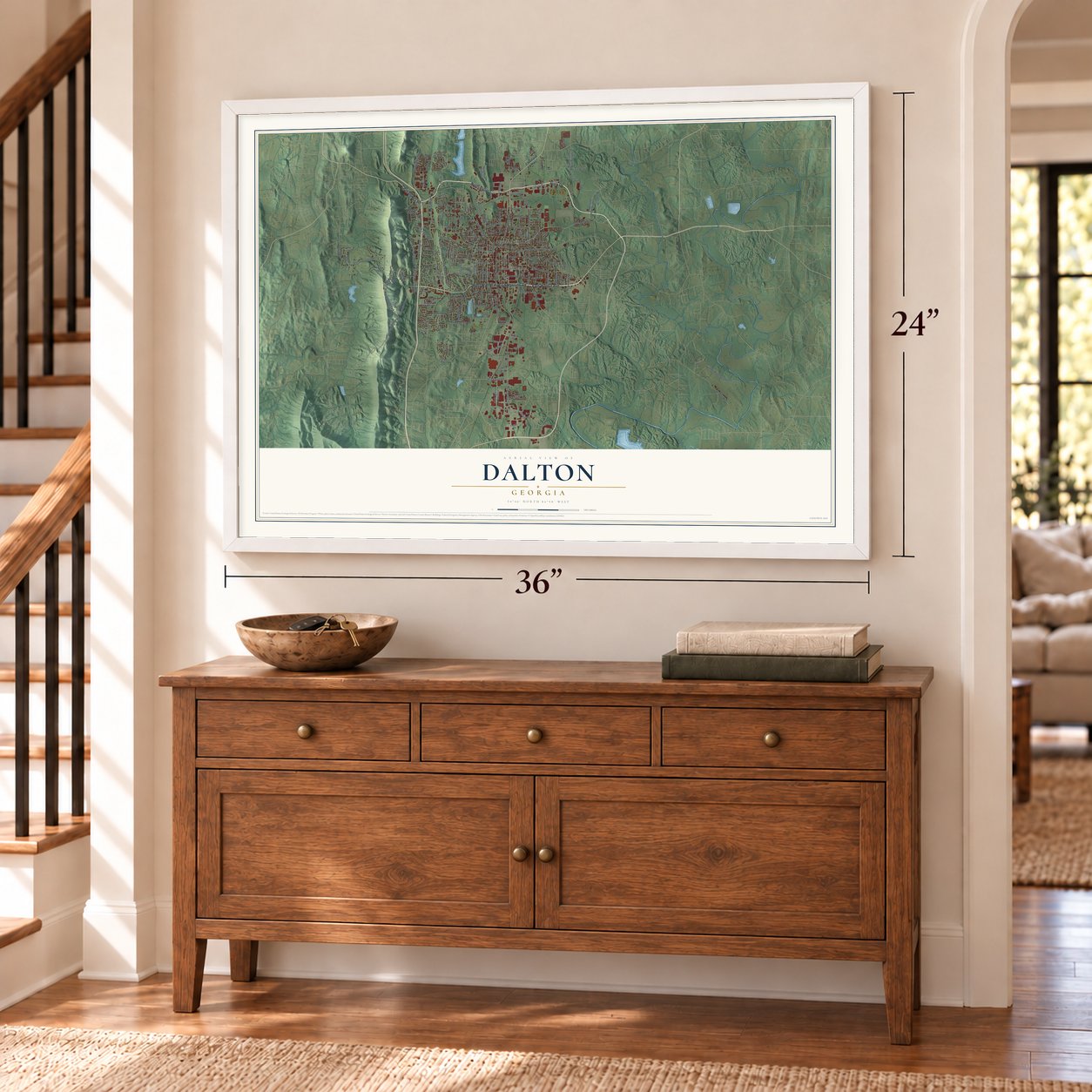
Unframed archival matte, a black wood frame or a white wood frame.
Up close
Geography Worth Displaying
This map was created using accurate cartographic data and authoritative geographic sources, including the U.S. Geological Survey (USGS) and FEMA. The map brings together terrain, waterways, roads, and building detail. The majority of the streets are labeled, houses are accurately depicted, and the topography is derived from government sources. Combining local data with carefully composed color and shading leads to this beautifully detailed Dalton artwork for your wall.
Rather than simply showing street outlines, we’ve included as many of the street names as we could reasonably fit on the map while keeping their names legible. Zoom in on the high resolution preview to see exactly what’s on the map. We truly set out to create a statement piece for anyone who loves Dalton. So whether it’s for you, or a gift for someone you love, we hope this map of Dalton brings back fond memories.
Explore the full map of Dalton, Georgia and read about the local places it shows.

About Dalton, Georgia
Dalton is the seat of Whitfield County, set in the foothills of the Blue Ridge Mountains in northwest Georgia. Its 2020 population was 34,417, and its history is closely tied to railroads, hand-tufted bedspreads, and carpet manufacturing. Community life also includes a longstanding theater tradition, an active arts guild, public parks, and local events.
- Railroad BeginningsIn 1847, Dalton was defined as a one-mile radius centered on the Western and Atlantic Depot.
- From Chenille to CarpetCatherine Evans Whitener's tufted bedspread, made as an 1895 wedding gift, helped inspire a cottage industry that later contributed to carpet manufacturing.
- A Long Theater TraditionDalton Little Theatre gave its first documented performance in 1869 and paused only during the two world wars.
- Community Arts CenterFounded in 1963, the Creative Arts Guild is Georgia's oldest multidisciplinary community arts center.
- Parks and TrailsDalton maintains more than 20 public parks and playgrounds, with access to regional hiking and biking trails.
Find your street
Names on the Dalton map
Every name below is printed on this map. Look for your street, your school, the park where you played, or the pond down the road.
Places and landmarks2
- Dalton City Hall
- Cannon Heights
Streets and roads181
- North Bypass
- Chattanooga Road
- East Walnut Avenue
- Chatsworth Road
- West Walnut Avenue
- Vista Drive
- North Tibbs Road
- Abutment Road
- North Glenwood Avenue
- West Emery Street
- South Tibbs Road
- College Avenue
- Brickyard Road
- Stacy Drive
- South Hamilton Street
- Fields Avenue
- West Waugh Street
- Martin Luther King Junior Boulevard
- East Morris Street
- North Hamilton Street
- Threadmill Road
- West Crawford Street
- Airport Road Southeast
- Airport Road
- Shugart Road
- Coronet Drive
- Rio Vista Drive
- Veterans Drive
- Lakemont Drive
- Broadrick Drive
Show all 181 streets
- West Cuyler Street
- College Drive
- South Dixie Highway
- Battlefield Park Drive
- Frazier Drive
- Crow Valley Road
- Riverbend Road
- Industrial Boulevard
- Chatham Drive
- Legion Drive
- North Castle Road
- Valley Drive
- Dug Gap Battle Road
- Fifth Avenue
- Clark Street
- Manly Street
- Callahan Road
- Conway Street
- Brady Drive
- Mitchell Street
- Brooker Drive
- Nelson Street
- Burleyson Road
- School Street
- Loveman Lane
- Cedar Street
- Calhoun Street
- May Street
- Raisin Way
- Virgil Drive
- Lesley Drive
- Belmont Drive
- Brown Street
- Dozier Street
- Liddel Street
- James
- Keen Drive
- Dee Street
- Cleveland Highway
- Lakeland Road Southeast
- Underwood Street
- Tony Ingle Parkway
- Underwood Road
- South Goose Hill Road
- South Thornton Avenue
- Moice Drive
- North Selvidge Street
- Dug Gap Road
- Jones Street
- Goose Hill Road
- Woods Point Road
- West Tyler Street
- Pleasant Grove Drive Northeast
- Ella Lane
- Underwood Road Northeast
- Rocky Face Circle
- South Hamilton Street Extension
- George Rice Drive
- Reed Road Northwest
- Huntington Road
- Heather Way
- Riverbend Drive
- Mount Sinai Road
- Haig Mill Road
- East Lakeshore Drive
- North Summit Drive
- Davidson Drive
- Lisa Lane
- Mountain View Street
- Kimberly Park Drive
- Mill Creek Road
- Straight Street
- Valencia Drive
- South Ridge Street
- Elkwood Drive
- Focus Drive
- Mineral Springs Road
- North Oaks Drive
- Fourth Avenue
- Southmont Drive
- Whitener Drive
- Lewell Street
- Covie Drive
- Shields Road
- Westerly Drive
- McGhee Drive
- Fairway Drive
- Barbara Street
- Goodwill Drive
- Altamont Avenue
- North View Drive
- Elk Street
- Market Street
- Ross Drive
- Cleo Way
- Betty Street
- Phillips Drive
- Royal Drive
- West Bridge
- Tuftco Drive
- Foster Road
- Bogle Street
- Ford Street
- Mack Street
- Tara Place
- Virginia Avenue
- Botany Woods Drive
- Brooker Road Northeast
- Chattanooga Avenue Extension
- South Spencer Street
- Morningside Drive
- Hawthorne Street
- Sheridan Avenue
- Professional Boulevard
- Cascade Drive
- Hardwick Circle
- Smith Industrial Boulevard
- West Matilda Street
- Springdale Road
- South Grade Drive
- Atkinson Drive
- Spruce Street
- Mc Farland Road
- Saint Charles Street
- Terry Lane
- David Drive
- Main Street
- Fleming Street
- Hill Street
- Shady Lane
- Judd Terrace
- Callahan Road Southeast
- Ryman Ridge Road
- Ridgefield Way
- Autumn Court
- Holly Terrace
- Coventry Drive
- Civic Drive
- Dogwood Lane
- Lida Street
- Davis Street
- Peabody Drive
- Sioux Trail
- Bucks Bluff Road
- Oneonta
- Jackson Avenue
- Depot Street
- Violet Way
- Hazel Drive
- Parker Road
- Cliffs
Names are listed as they appear on the printed map. Zoom into the product photos to find them.
The art of mapping a place
How This Map Was Made
Real places. Remarkable detail. Discover the layers that turn geographic data into a map of home.

The view from above
Aerial imagery reveals the character of the land: woodland, open fields, and the patterns of a place.

The shape of the land
Elevation data brings hills, valleys, and subtle changes in the landscape into view.

The details of home
Roads, waterways, and building footprints come together to make the map feel unmistakably local.

Geography becomes art
Considered color, shading, and typography bring the layers together in a map made for your wall.


Process illustrated with Mendon, Massachusetts. Aerial imagery: USDA NAIP. Terrain: USGS 3D Elevation Program. Map details and finished artwork: KNOWOL.
The Details
About This Print
Choose an archival matte print, or a black or white Ayous wood frame. The archival matte print is unframed.
Select your size and finish above to see the matching product image and price.
Materials & Craftsmanship
A contemporary map with the character of a classic atlas, printed on archival matte paper. Optional frames are made from Ayous wood.
Your printed map does not include the watermark shown in the full-map preview.
Shipping & Delivery
Free shipping within the United States. Every print is made to order in the USA.
Buying a gift? Add a note in your cart and we'll include it. We never put prices in the package.
Prints ship within 2 to 3 business days. Allow 7 to 10 days total from ordering for delivery. Timing may vary during holidays or periods of high order volume.
Read our shipping policy.
Returns and damaged prints
Each print is made to order. Change-of-mind refunds are not available after production.
If your print arrives damaged, misprinted or incorrect, contact support@knowol.com within 30 days of receiving it. Include your order number, photos and a description of the issue.
Read our full refund and replacement policy. For questions about your order, email support@knowol.com.
Find your town
Looking for another city?
Find a map of home in our Georgia collection, or any town in the country.
Nearby
Maps of towns near Dalton
Know someone from one of these towns? Their map makes a great gift.
 Pleasant Grove
, Georgia
From $39.99See the map
 Cedar Ridge
, Georgia
From $39.99See the map
 Dawnville
, Georgia
From $39.99See the map
More maps nearby: Tunnel Hill, Spring Place, Varnell, Chatsworth and Beaverdale.