
Search for another town



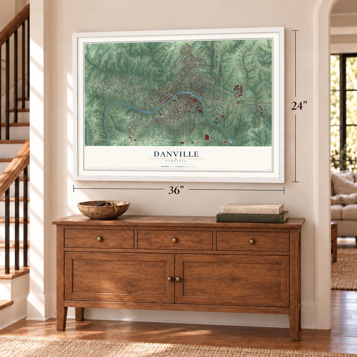

Free U.S. delivery 7 to 10 days after you order
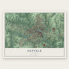
Danville, Virginia Map Art
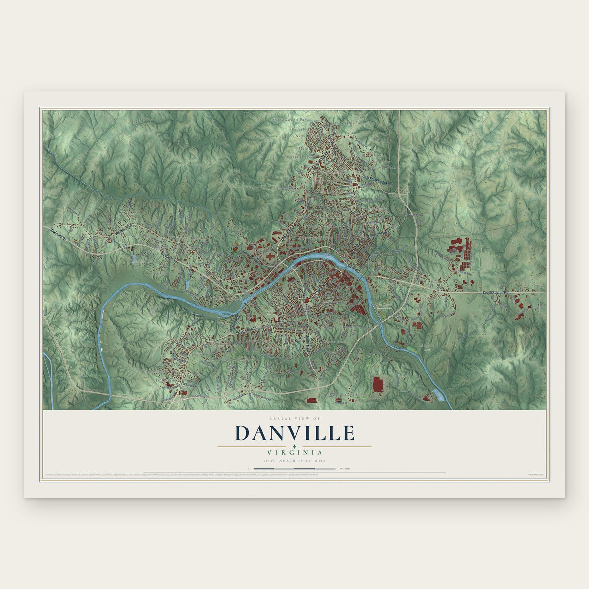
A new map of Danville, Virginia, made in 2026 and printed to order on thick archival matte paper.
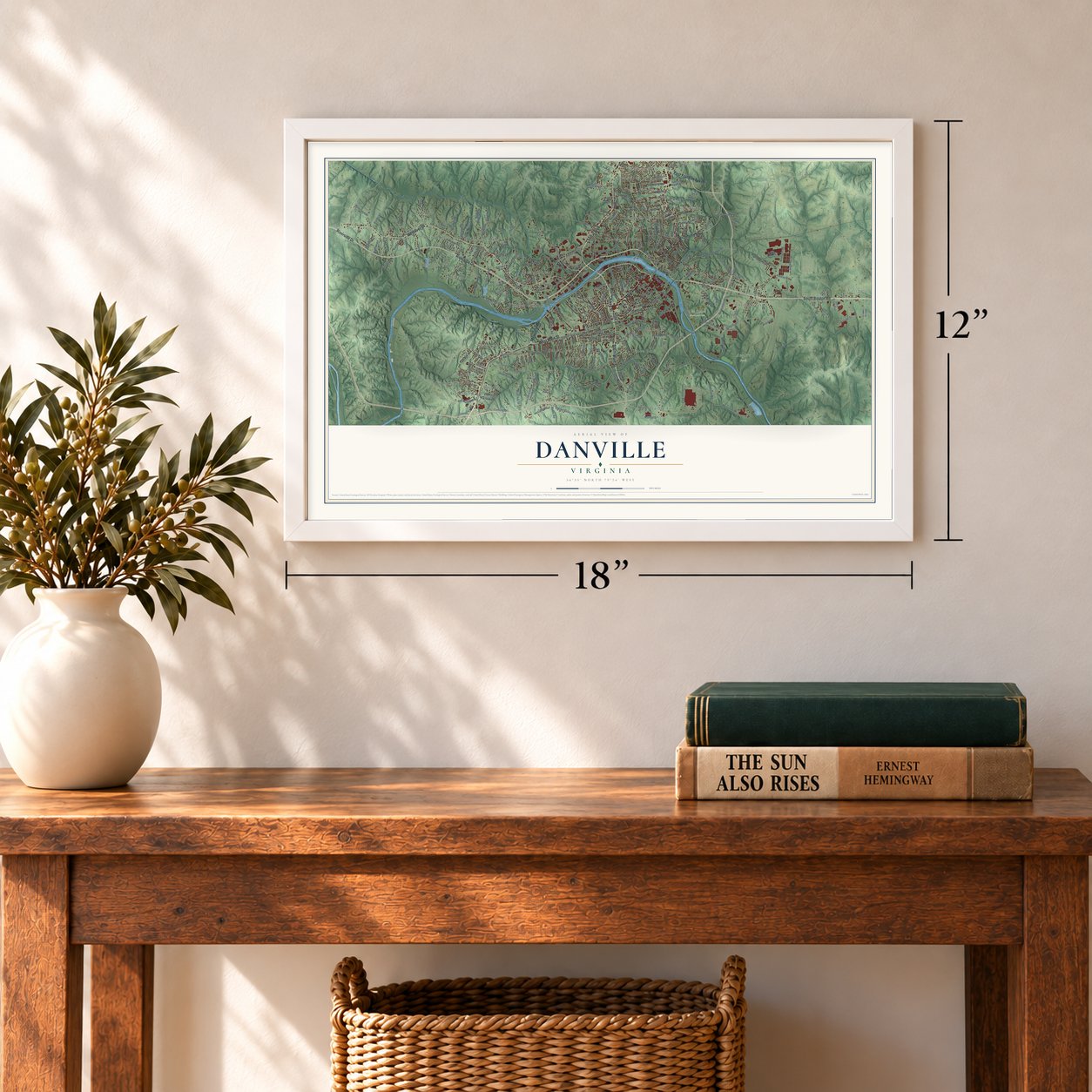
12" x 18" Archival Matte Print
A Map of Home. A Work of Art.
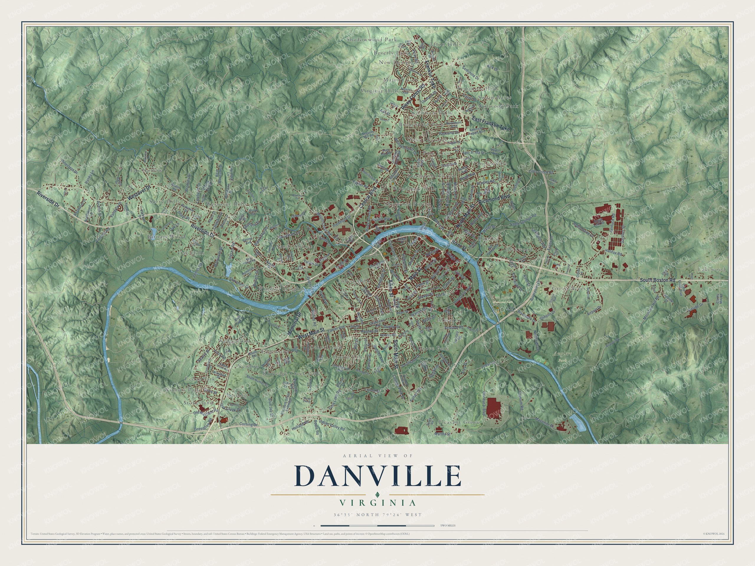
Explore Danville, Virginia from a whole new perspective. Created using aerial imagery and detailed geographic data, this map captures Danville building by building, with labeled streets, familiar landmarks, and shaded topographical relief that highlights the natural contours of the landscape.
Combining modern data with the timeless character of a vintage atlas, this map is just as interesting up close as it is beautiful on the wall. Whether you grew up in Danville, spent memorable years there, or call it home today, this unique map is a great way to celebrate a place that means something to you. Zoom in on the preview to look for your street, and then order a print to put your memories on the wall.
Three ways to hang it
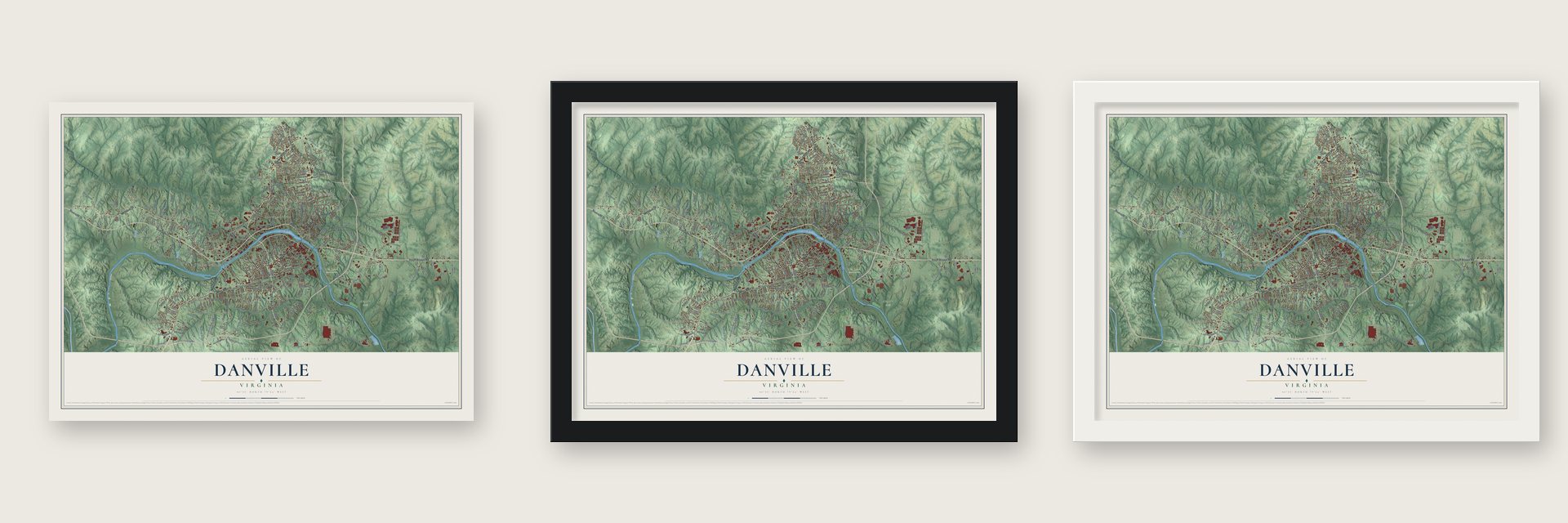
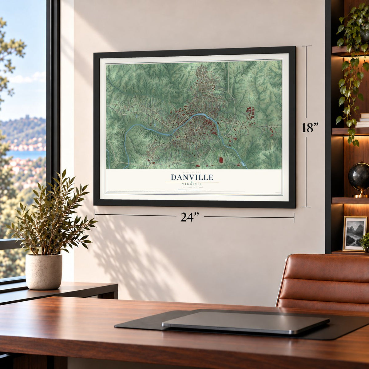
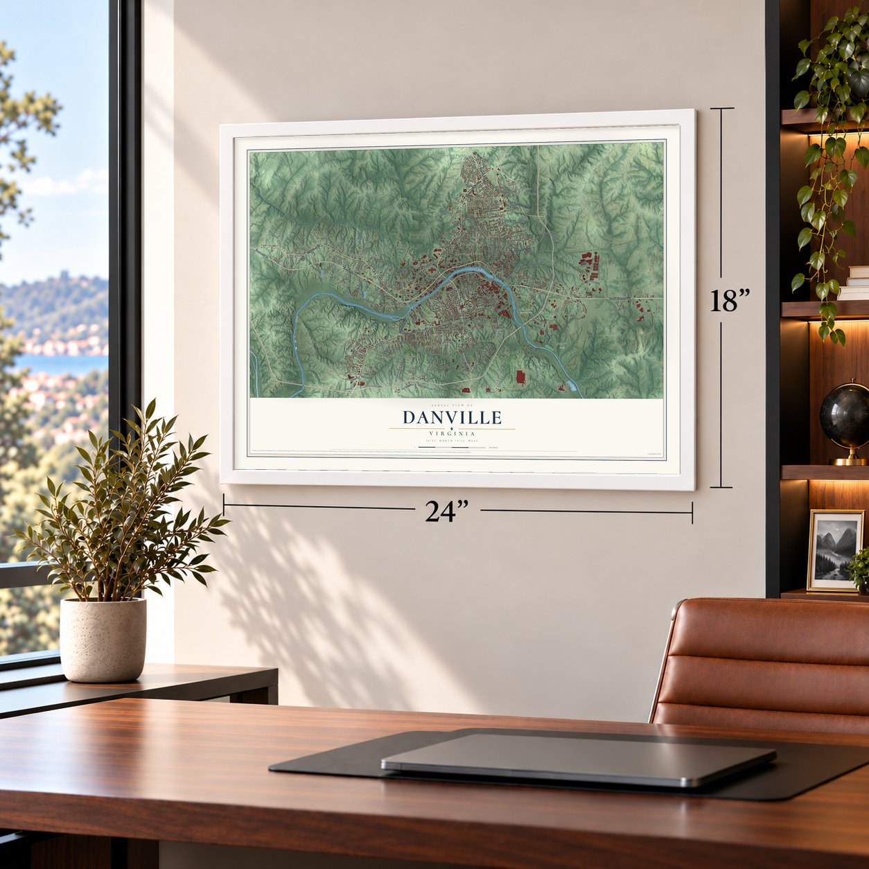
Unframed archival matte, a black wood frame or a white wood frame.
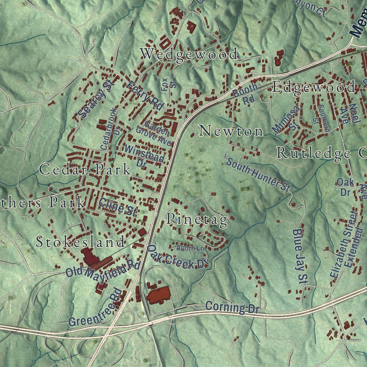
Up close
Geography Worth Displaying
This map was created using accurate cartographic data and authoritative geographic sources, including the U.S. Geological Survey and the Census Bureau. The map brings together terrain, waterways, roads, and building detail. The majority of the streets are labeled, houses are accurately depicted, and the topography is derived from government sources. Combining local data with carefully composed color and shading leads to this beautifully detailed Danville artwork for your wall.
Rather than simply showing street outlines, we’ve included as many of the street names as we could reasonably fit on the map while keeping their names legible. Zoom in on the high resolution preview to see exactly what’s on the map. We truly set out to create a statement piece for anyone who loves Danville. So whether it’s for you, or a gift for someone you love, we hope this map of Danville brings back fond memories.
Read the story behind this map of Danville, Virginia from 2026.
About Danville, Virginia
Danville is a city of 42,590 people on the fall line of the Dan River, in Southside Virginia. In 1728 William Byrd led an expedition to fix the line between Virginia and North Carolina. His party camped upstream from today's city, and Byrd gave the river its name, the Dan. The first settlement grew up in 1792 at a shallow ford downstream. It was called Wynne's Falls, for its first settler.
In 1793 the General Assembly approved a tobacco warehouse at the falls, and an act of November 23, 1793, renamed the village Danville. The town grew past the limits of its first charter, written on February 17, 1830, so a second charter followed in 1833. James Lanier became the first mayor that year. Danville went on to become Virginia's largest market for brightleaf tobacco.
- Last Capitol of the ConfederacyJefferson Davis spent April 3 to 10, 1865, as a guest in the home of William T. Sutherlin, and there he issued his last proclamation as president. When news arrived that Lee had surrendered at Appomattox, Davis and his cabinet left for Greensboro, North Carolina. Ever since, the house has been known as the Last Capitol of the Confederacy.
- Prisons in tobacco warehousesDuring the Civil War, six tobacco warehouses, one of them Sutherlin's, were turned into prisons. At one point they held more than 5,000 Union soldiers. Malnutrition, dysentery and a smallpox epidemic in 1864 killed 1,314 of the prisoners, and they lie in the Danville National Cemetery.
- Riverside Cotton Mills, 1882On July 22, 1882, six residents, among them Thomas Benton Fitzgerald and the three Schoolfield brothers, founded Riverside Cotton Mills to use the power of the river's falls. The company and the city both grew fast with Fitzgerald as president. As Dan River Inc., it became the world's largest single-unit textile mill.
- The Wreck of the Old 97Old 97, an express mail train of the Southern Railway, was behind schedule on September 27, 1903. It hit a high trestle over the Dan River valley too fast and jumped the tracks. The engine and five cars fell into the ravine, killing nine people and injuring seven. The wreck became a famous song, and a downtown mural now remembers it.
- The marches of 1963On May 31, 1963, the Danville Christian Progressive Association demanded an end to segregation and job discrimination and marched on City Hall. Police beat the marchers, most of them high school students, and sprayed them with fire hoses, but the protests went on for weeks. Martin Luther King Jr. came to speak at High Street Baptist Church, founded in 1865 by freed African Americans who left First Baptist Church.
Find your street
Names on the Danville map
Every name below is printed on this map. Look for your street, your school, the park where you played, or the pond down the road.
Places and landmarks45
- Lakewood
- Anglers Park
- Ballou Park
- Dan Daniel Memorial Park
- Afton Hills
- Almagro
- Beverly Park
- Birnam Wood
- Brentwood Park
- Cedar Park
- Chatham Hills
- Donna Estates
Show all 45 places
- Druid Hills
- Dundee
- Edgewood
- Forest Hills
- Fox Hollow
- Glenwood
- Green Acres
- Grove Park
- Major Court
- New Design
- Newton
- Norwood Park
- Oak Hills
- Pine Crest
- Pinetag
- Pleasant Grove
- Rutledge Creek Park
- Sandy Shores
- Schoolfield
- Seminole Hills
- Shadowwood Park
- Sherwood Forest
- Starmount Forest
- Stokesland
- Surry Hills
- Swain Acres
- Tanglewydle
- Virginia Hills
- Wedgewood
- Westover Hills
- Windsor Heights
- Withers Park
- Woodbury Hills
Streets and roads297
- Riverside Drive
- South Boston Road
- River Street
- Franklin Turnpike
- West Main Street
- Westover Drive
- Memorial Drive
- Central Boulevard
- North Main Street
- South Main Street
- Piney Forest Road
- Aiken Street
- East Franklin Turnpike
- Richmond Boulevard
- Main Street
- Holland Road
- Riverpoint Drive
- Seminole Drive
- Little Creek Road
- Goodyear Boulevard
- Old Mayfield Road
- Piedmont Drive
- Halifax Road
- Mount Cross Road
- Jenny Lane
- Industrial Avenue
- Eagle Springs Road
- Blair Loop Road
- James Road
- Kentuck Road
Show all 297 streets
- Gypsum Road
- Lanier Avenue
- Park Avenue
- Claiborne Street
- Luna Lake Road
- Shoreham Drive
- College Park Drive
- Vicar Road
- Rosemary Lane
- Airport Drive
- Stinson Drive
- Bromley Drive
- Hughes Street
- Hanks Lane
- Stokes Street
- Wilson Street
- Bradley Road
- Corning Drive
- Mountain Hill Road
- Wendell Scott Drive
- Lee Street
- Washington Street
- Eastwood Drive
- Robin Hood Drive
- Gardner Street
- Broad Street
- Turpin Street
- Lynn Street
- Ingram Road
- Holbrook Street
- Airside Drive
- Third Avenue
- Church Avenue
- Indian Valley Road
- Lamberth Drive
- Trade Street
- Kirk Drive
- Kent Street
- Barrett Street
- Wyndover Drive
- Bell Drive
- Pinecrest Drive
- Ferry Road
- Bonner Avenue
- Cleveland Street
- Oak Creek Drive
- Masonite Drive
- Southland Drive
- Lexington Avenue
- Myrtle Avenue
- Blue Jay Street
- Dimon Drive
- Monroe Street
- Parkland Drive
- Bishop Road
- Henry Street
- Updike Place
- Betts Street
- Searcy Street
- Apollo Avenue
- Seeland Road
- Northside Drive
- Patton Street
- Vandola Drive
- Avalon Drive
- Oak Lane
- Branch Street
- Greentree Road
- Randolph Street
- Ash Street
- Poplar Street
- Banner Street
- Gray Street
- Riverpark Drive
- Parker Road
- Dudley Street
- Justin Lane
- Martha Street
- Virginia Avenue
- Oak Street
- Smith Street
- Shumate Street
- Bridge Street
- Cabell Street
- Noble Avenue
- Plum Street
- Arey Court
- Orchard Drive
- Vandola Road
- Evans Lane
- Fulton Heights
- Dover Place
- Abbott Street
- Spring Street
- North Avenue
- Ida Street
- Green Street
- Water Street
- Poole Road
- Sandy Court
- Cline Street
- Beavers Mill Road
- Arnett Boulevard
- Elizabeth Street Extended
- American Legion Boulevard
- River Oak Drive
- Audubon Drive
- Lockett Drive
- Edmonds Street
- South Hunter Street
- West Woodlawn Drive
- Old Halifax Road
- Kemper Road
- Mimosa Street
- Northmont Boulevard
- Wooding Avenue
- Woodlawn Drive
- First Street
- Glenn Street
- Iris Lane
- Cane Creek Boulevard
- Bright Leaf Road
- Parkway Drive
- Berkshire Drive
- Winstead Drive
- Taylor Drive
- Westhaven Drive
- Liberty Bell Court
- Beechwood Lane
- Brook Circle
- Chatelaine Avenue
- Pinyon Court
- Rison Street
- Churchview Drive
- Clarks Mill Road
- Freeze Road
- Old Piney Forest Road
- Carver Drive
- Burton Road
- Hayes Avenue
- Nelson Avenue
- Union Street
- Peidmont Drive
- Ranch Drive
- Sanitary Road
- Airview Drive
- Dula Street
- Spring Avenue
- Ashlawn Drive
- Kennon Drive
- Grant Street
- Keen Street
- Greenwood Avenue
- Christopher Lane
- Milton Avenue
- Fagan Street
- Brookside Avenue
- Hamilton Street
- Chadwyck Drive
- Deer Run Road
- White Street
- Elwood Lane
- Hereford Lane
- Allison Drive
- Westover Lane
- Wrenn Drive
- Booth Road
- Airport Road
- Pineview Drive
- Starmont Boulevard
- Noel Avenue
- Sanford Road
- Pearl Street
- Cooper Street
- Hayes Court
- Autumn Lane
- Vann Street
- Cedar Place
- Farrar Street
- Tower Drive
- Capri Court
- Cahill Court
- Piney Road
- Naples Street
- Hurt Street
- Cain Street
- Motley Avenue
- Clover Lane
- Wills Street
- Isom Court
- Neal Court
- Oak Drive
- Hawthorne Drive
- Linden Drive
- Slayton Avenue
- Jefferson Street
- Cedarbrook Drive
- Mountain View Avenue
- Norwood Drive
- Oakwood Circle
- Tamworth Drive
- Pumpkin Creek Lane
- London Bridge Drive
- New Ingram Road
- Montague Street
- Paxton Avenue
- Riverview Drive
- Kayewood Lane
- Gilbert Drive
- Hylton Avenue
- Broadnax Street
- New Hope Way
- Bryant Avenue
- Big Rock Road
- Womack Drive
- Thrush Street
- Rutledge Street
- Foster Street
- Gaither Road
- Garden Grove Avenue
- Ashlyn Drive
- Garland Street
- Jerry Drive
- Dallas Avenue
- New Street
- Hillcrest Avenue
- Reuben Court
- Lima Road
- Fox Street
- Baldwin Street
- Elwood Avenue
- Conifer Drive
- Lamar Street
- Altice Drive
- Mall Drive
- Lake Heron Drive
- Colquohoun Street
- Stokesland Avenue
- River Park Drive
- Beech Avenue
- Neathery Lane
- Hamlin Avenue
- Maple Lane
- Beauford Road
- Plantation Road
- Dodson Drive
- Mount View Drive
- Swain Drive
- Executive Drive
- Rudder Street
- Roberts Street
- Summit Drive
- Southern Street
- Avondale Drive
- Oxford Street
- Lansdale Drive
- Acorn Lane
- Rocky Lane
- Starling Avenue
- Crestview Drive
- Lombody Court
- Andes Drive
- Clarkson Street
- Tate Street
- Sussex Place
- Gough Street
- Haley Street
Names are listed as they appear on the printed map. Zoom into the product photos to find them.
The art of mapping a place
How This Map Was Made
Real places. Remarkable detail. Discover the layers that turn geographic data into a map of home.

The view from above
Aerial imagery reveals the character of the land: woodland, open fields, and the patterns of a place.

The shape of the land
Elevation data brings hills, valleys, and subtle changes in the landscape into view.

The details of home
Roads, waterways, and building footprints come together to make the map feel unmistakably local.

Geography becomes art
Considered color, shading, and typography bring the layers together in a map made for your wall.


Process illustrated with Mendon, Massachusetts. Aerial imagery: USDA NAIP. Terrain: USGS 3D Elevation Program. Map details and finished artwork: KNOWOL.
The Details
About This Print
Choose an archival matte print, or a black or white Ayous wood frame. The archival matte print is unframed.
Select your size and finish above to see the matching product image and price.
Materials & Craftsmanship
A contemporary map with the character of a classic atlas, printed on archival matte paper. Optional frames are made from Ayous wood.
Your printed map does not include the watermark shown in the full-map preview.
Shipping & Delivery
Free shipping within the United States. Every print is made to order in the USA.
Buying a gift? Add a note in your cart and we'll include it. We never put prices in the package.
Prints ship within 2 to 3 business days. Allow 7 to 10 days total from ordering for delivery. Timing may vary during holidays or periods of high order volume.
Read our shipping policy.
Returns and damaged prints
Each print is made to order. Change-of-mind refunds are not available after production.
If your print arrives damaged, misprinted or incorrect, contact support@knowol.com within 30 days of receiving it. Include your order number, photos and a description of the issue.
Read our full refund and replacement policy. For questions about your order, email support@knowol.com.
Find your town
Looking for another city?
Find a map of home in our Virginia collection, or any town in the country.
Nearby
Maps of towns near Danville
Know someone from one of these towns? Their map makes a great gift.
 Mount Hermon
, Virginia
From $39.99See the map
 Blairs
, Virginia
From $39.99See the map
 Chatham
, Virginia
From $39.99See the map
More maps nearby: Sandy Level, Laurel Park, Chatmoss, Ridgeway and Gretna.