
Search for another town




Free U.S. delivery 7 to 10 days after you order
Davenport, Iowa Map Art
Building by building, with labeled streets and shaded relief.
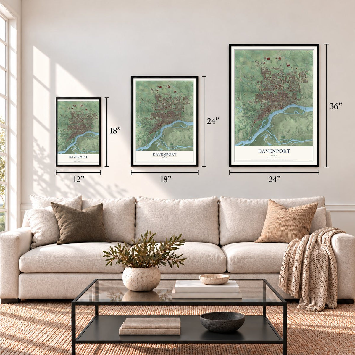
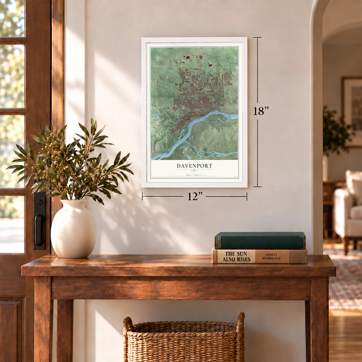
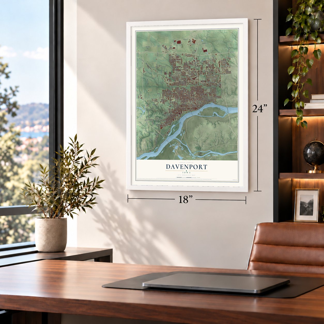
12" x 18" Archival Matte Print
A Map of Home. A Work of Art.
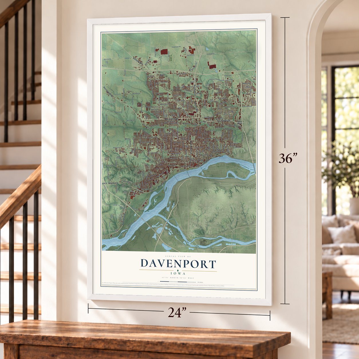
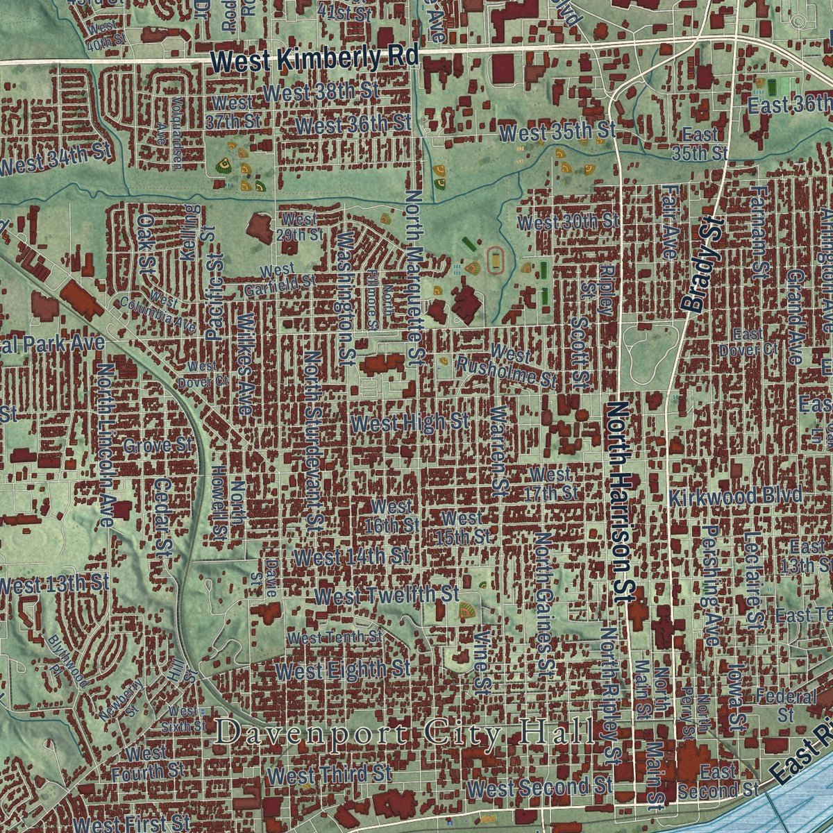
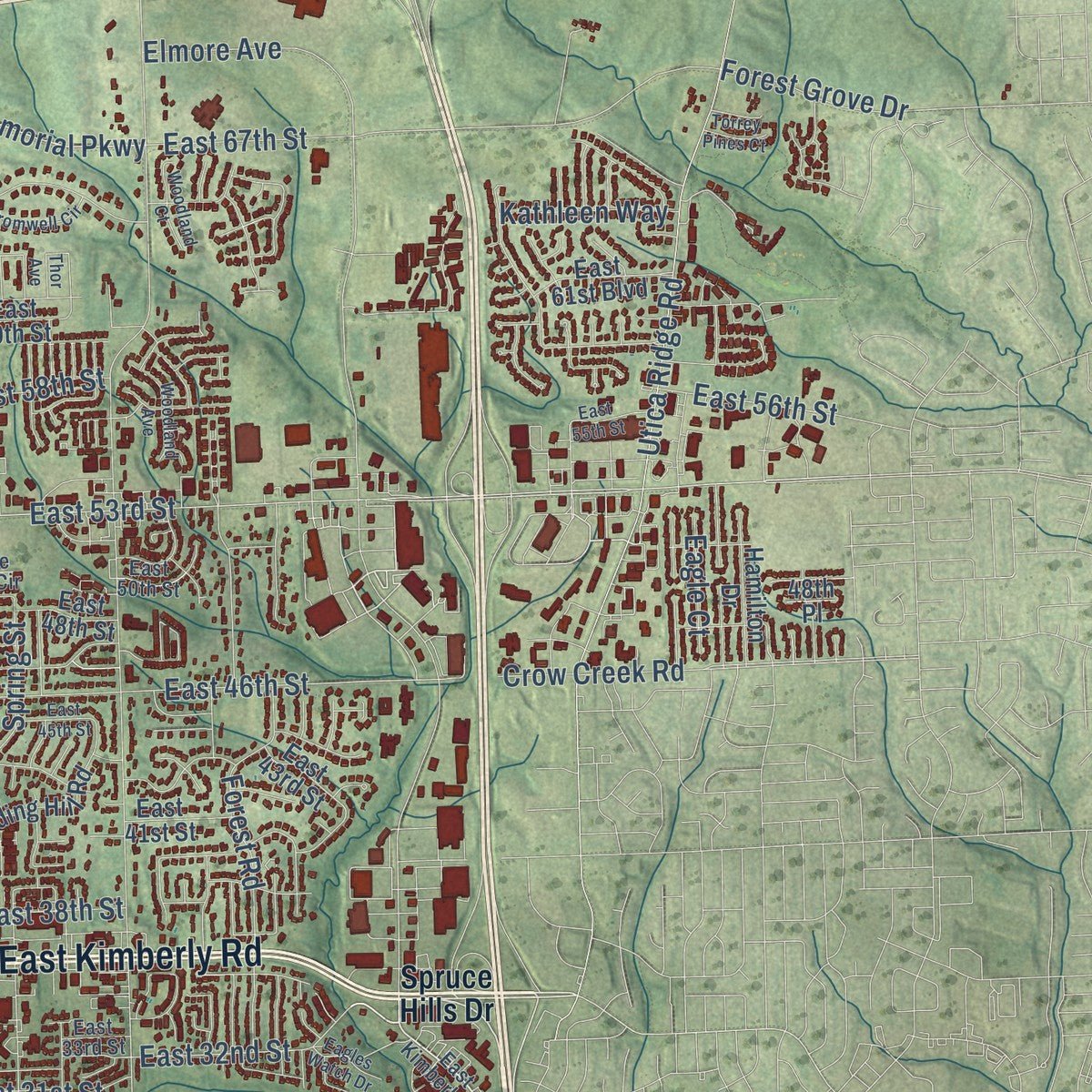
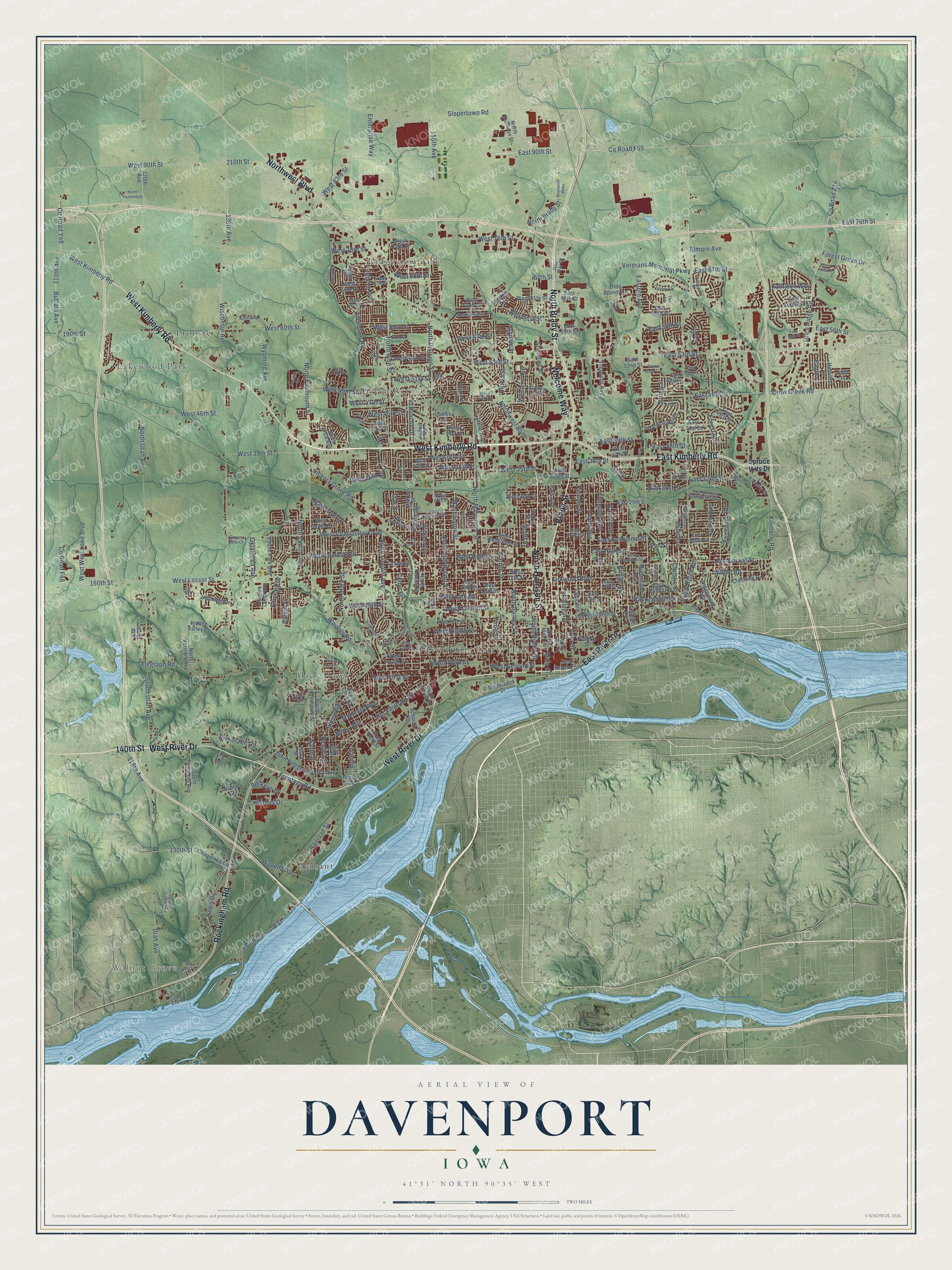
Explore Davenport, Iowa from a whole new perspective. Created using aerial imagery and detailed geographic data, this map captures Davenport building by building, with labeled streets, familiar landmarks, and shaded topographical relief that highlights the natural contours of the landscape.
Combining modern data with the timeless character of a vintage atlas, this map is just as interesting up close as it is beautiful on the wall. Whether you grew up in Davenport, spent memorable years there, or call it home today, this unique map is a great way to celebrate a place that means something to you. Zoom in on the preview to look for your street, and then order a print to put your memories on the wall.
Three ways to hang it
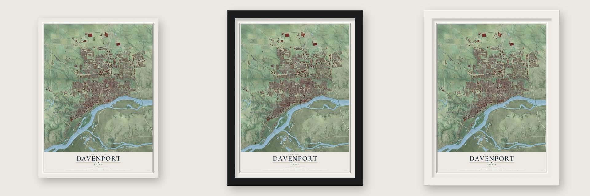
Unframed archival matte, a black wood frame or a white wood frame.
Up close
Geography Worth Displaying
This map was created using accurate cartographic data and authoritative geographic sources, including the U.S. Geological Survey and the Census Bureau. The map brings together terrain, waterways, roads, and building detail. The majority of the streets are labeled, houses are accurately depicted, and the topography is derived from government sources. Combining local data with carefully composed color and shading leads to this beautifully detailed Davenport artwork for your wall.
Rather than simply showing street outlines, we’ve included as many of the street names as we could reasonably fit on the map while keeping their names legible. Zoom in on the high resolution preview to see exactly what’s on the map. We truly set out to create a statement piece for anyone who loves Davenport. So whether it’s for you, or a gift for someone you love, we hope this map of Davenport brings back fond memories.
Read the story behind this map of Davenport, Iowa from 2026.

Find your street
Names on the Davenport map
Every name below is printed on this map. Look for your street, your school, the park where you played, or the pond down the road.
Places and landmarks8
- Davenport City Hall
- Walnut Grove
- Black Hawk
- Green Acres
- Lakewood Park
- Nahant
- Probstei
- Ridgeview Park
Streets and roads292
- West Kimberly Road
- East Kimberly Road
- North Harrison Street
- North Brady Street
- East River Drive
- Brady Street
- Northwest Boulevard
- Welcome Way
- West River Drive
- Rockingham Road
- 140th Street
- 210th Street
- County Road F55
- East 90th Street
- Kimberly Road
- West Central Park Avenue
- East 53rd Street
- 110th Avenue
- Nobis Drive
- Fair Avenue
- Garden
- West 76th Street
- West High Street
- Wisconsin Avenue
- South Concord Street
- North Division Street
- Jersey Ridge Road
- West Locust Street
- North Pine Street
- North Utah Avenue
Show all 292 streets
- Eastern Avenue
- North Marquette Street
- Hillandale Road
- Telegraph Road
- North Fairmount Street
- West 46th Street
- Elmore Avenue
- Kirkwood Boulevard
- West Lombard Street
- Forest Road
- North Ripley Street
- West 60th Street
- Tremont Avenue
- West 13th Street
- West 90th Street
- Cedar Street
- Slopertown Road
- North Gaines Street
- East Locust Street
- North Sturdevant Street
- County Road Z16
- Utica Ridge Road
- Washington Street
- Hickory Grove Road
- North Lincoln Avenue
- West 53rd Street
- Lorton Avenue
- Warren Street
- Grand Avenue
- West Third Street
- Belle Avenue
- West 49th Street
- Wilkes Avenue
- East 46th Street
- Veterans Memorial Parkway
- Scott Street
- West 35th Street
- Western Avenue
- West Second Street
- Spring Street
- East 67th Street
- West 14th Street
- South Utah Avenue
- Iowa Street
- Leclaire Street
- Farnam Street
- Pershing Avenue
- Bridge Avenue
- East 32nd Street
- Brown Street
- Pacific Street
- Fairhaven Road
- West 59th Street
- North Clark Street
- Buffalo Avenue
- Vine Street
- West Eighth Street
- Carey Avenue
- Waverly Road
- West 61st Street
- West 83rd Street
- West 34th Street
- Sheridan Street
- Frontage Road
- West Twelfth Street
- Arlington Avenue
- East Rusholme Street
- East High Street
- Crow Creek Road
- East Twelfth Street
- Elm Street
- Utah Avenue
- Oak Street
- Boies Avenue
- West 51st Street
- West 36th Street
- Jebens Avenue
- Wapello Avenue
- 130th Avenue
- East 39th Street
- Lillie Avenue
- County Road Y48
- Middle Road
- North Zenith Avenue
- West First Street
- West 38th Street
- Emerald Drive
- 155th Avenue
- West 68th Street
- Ricker Hill Road
- 130th Street
- Forest Grove Drive
- West 39th Street
- Wyoming Avenue
- East 58th Street
- West 47th Street
- McKinley Avenue
- East 38th Street
- East 76th Street
- Keota Avenue
- Gaines Street
- West West Lake Boulevard
- East 31st Street
- West 57th Street
- Railroad Street
- 160th Street
- West 73rd Street
- Kimmel Drive
- Indian Road
- John Fell Drive
- Calvin Street
- El Rancho Drive
- East 36th Street
- Nevada Street
- Heatherton Drive
- 118th Avenue
- Enterprise Way
- 190th Street
- County Road F48
- East 56th Street
- Kathleen Way
- Oklahoma Avenue
- Christie Street
- West 45th Street
- Gayman
- Buckeye Street
- Eagle Court
- Main Street
- 67th Street
- Spruce Hills Drive
- Biederbeck Drive
- West 62nd Street
- North Main Street
- West Fourth Street
- North Howell Street
- Ripley Street
- West 16th Street
- West 15th Street
- West 17th Street
- North Elsie Avenue
- Kelling Street
- East 59th Street
- Mississippi Avenue
- College Avenue
- West Rusholme Street
- West Hayes Street
- West 43rd Street
- East 29th Street
- East 13th Street
- South Fairmount Street
- West 37th Street
- West 66th Street
- East 14th Street
- Fillmore Lane
- West 30th Street
- Colony Drive
- East Tenth Street
- Chapel Hill Road
- West 54th Street
- South Rolff Street
- West 65th Street
- East 35th Street
- Ridgewood Avenue
- Olde Brandy Lane
- South Vermont Avenue
- East 65th Street
- East 60th Street
- Winding Hill Road
- East 37th Street
- Grove Street
- South Clark Street
- East 52nd Street
- Shawnee Drive
- East Second Street
- Ridge Drive
- Schmidt Road
- Emeis Park Avenue
- Nobis Court
- West 41st Street
- Franklin Avenue
- Crestline Drive
- North Vermont Avenue
- East 61st Boulevard
- East 48th Street
- South Howell Street
- Hidden Valley Drive
- Federal Street
- East 43rd Street
- Eagles Crest Avenue
- Hamilton Drive
- 120th Avenue
- East 41st Street
- Rodeo Road
- River Street
- Lambs Lane
- Stark Street
- West 76th Place
- Idaho Avenue
- Daisy Avenue
- 48th Place
- East Pleasant Street
- West Garfield Street
- West 29th Street
- North Perry Street
- West Tenth Street
- West 63rd Street
- Davie Street
- West 48th Street
- East 15th Street
- East Lombard Street
- West 67th Street
- Duggleby Street
- East George Washington Boulevard
- East Dover Court
- Pearl Avenue
- Villa Court
- Silver Creek Drive
- Meadowview Lane
- Southwest 38th Street
- Judson Street
- East 50th Street
- East 33rd Street
- Oak Lane
- Jason Way Court
- Stone Gate Circle
- Autumn Drive
- Emeis View Court
- Cody Trail
- Hill Street
- Kimberly Downs Road
- West Sixth Street
- North Fillmore Street
- Research Parkway
- North Linwood Avenue
- West Columbia Avenue
- Taylor Street
- West Dover Court
- Mound Street
- Volquardsen Avenue
- West 40th Street
- Cromwell Circle
- West 44th Street
- Woodland Avenue
- Woodland Court
- East 55th Street
- West 52nd Street
- Deere Creek Lane
- Windstone Drive
- East Street
- Thor Avenue
- Blythwood Place
- North Hazelwood
- Island View Road
- Eagles Watch Drive
- Newberry Street
- East 45th Street
- 57th Street
- Jenna Drive
- Blue Grass Court
- West Third Place
- Torrey Pines Court
- Fossen Drive
Names are listed as they appear on the printed map. Zoom into the product photos to find them.
About Davenport, Iowa
Davenport is the seat of Scott County, set along the Mississippi River at Iowa's eastern edge. Founded by Antoine Le Claire on May 14, 1836, it was named for his friend George Davenport. The city became a regional railroad center after a bridge opened to Rock Island in 1856, and the 2020 census recorded 101,724 residents.
- County SeatDavenport secured the Scott County seat after contested elections with Rockingham in 1838 and a third vote in 1840.
- First ChurchSt. Anthony's Roman Catholic congregation, organized by Rev. Samuel Mazzuchelli in spring 1838, was Davenport's first church organization.
- Railroad CrossingThe Rock Island Railroad completed the first bridge over the Mississippi River in 1856, linking Davenport with Rock Island, Illinois.
- Industrial CenturyFrom 1860 through 1980, industry and population expanded, with locomotives, meatpacking, loaders, movie projectors, and vehicle wheels among local products.
- Riverfront ApproachRather than build a permanent levee, Davenport has favored open river access while requiring new floodplain construction to be elevated or protected.
Keep exploring Iowa
Davenport is one of 1,037 Iowa towns we've mapped. Every dot on the map is a print of its own.
The search covers every state, Iowa first.
Near Davenport
Order 2 or more town maps and save 10%. Shown in the size and finish you picked above, so they hang as a set.
- Eldridge 12" x 18" / Archival Matte Print $39.99
- Bettendorf 12" x 18" / Archival Matte Print $39.99
- Riverdale 12" x 18" / Archival Matte Print $39.99
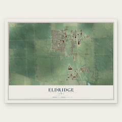


More maps nearby: Panorama Park, Maysville, Blue Grass, Walcott and Long Grove.
The art of mapping a place
How This Map Was Made
Real places. Remarkable detail. Discover the layers that turn geographic data into a map of home.

The view from above
Aerial imagery reveals the character of the land: woodland, open fields, and the patterns of a place.

The shape of the land
Elevation data brings hills, valleys, and subtle changes in the landscape into view.

The details of home
Roads, waterways, and building footprints come together to make the map feel unmistakably local.

Geography becomes art
Considered color, shading, and typography bring the layers together in a map made for your wall.


Process illustrated with Mendon, Massachusetts. Aerial imagery: USDA NAIP. Terrain: USGS 3D Elevation Program. Map details and finished artwork: KNOWOL.
The Details
About This Print
Choose an archival matte print, or a black or white Ayous wood frame. The archival matte print is unframed.
Select your size and finish above to see the matching product image and price.
Materials & Craftsmanship
A contemporary map with the character of a classic atlas, printed on archival matte paper. Optional frames are made from Ayous wood.
Your printed map does not include the watermark shown in the full-map preview.
Shipping & Delivery
Free shipping within the United States. Every print is made to order in the USA.
Buying a gift? Add a note in your cart and we'll include it. We never put prices in the package.
Prints ship within 2 to 3 business days. Allow 7 to 10 days total from ordering for delivery. Timing may vary during holidays or periods of high order volume.
Read our shipping policy.
Returns and damaged prints
Each print is made to order. Change-of-mind refunds are not available after production.
If your print arrives damaged, misprinted or incorrect, contact support@knowol.com within 30 days of receiving it. Include your order number, photos and a description of the issue.
Read our full refund and replacement policy. For questions about your order, email support@knowol.com.