
Search for another town





Free U.S. delivery 7 to 10 days after you order
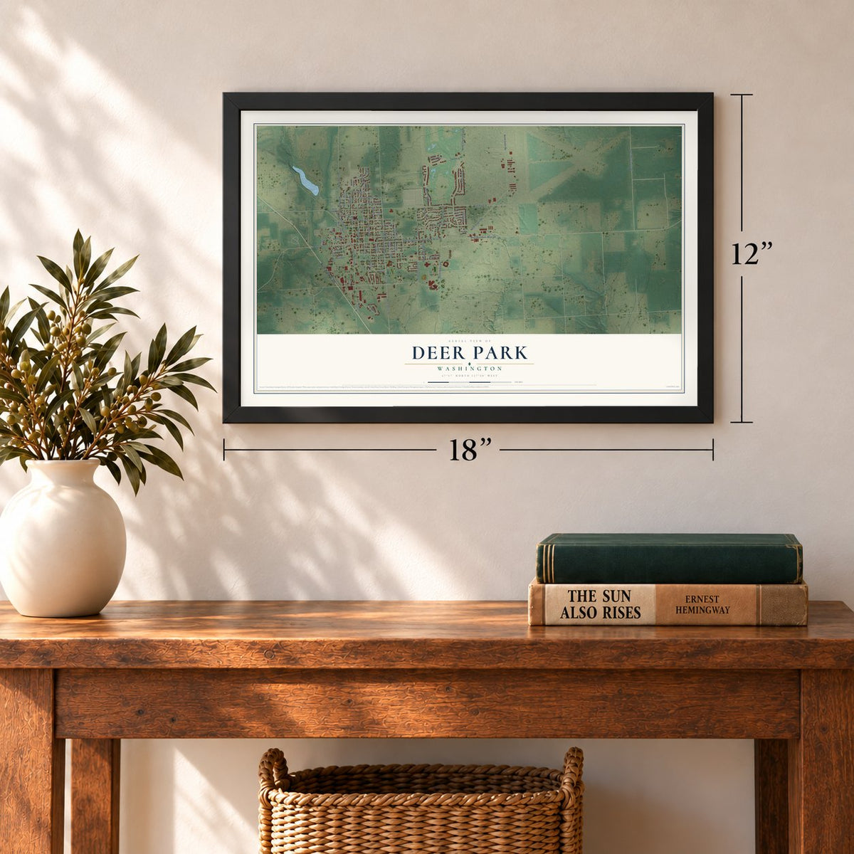
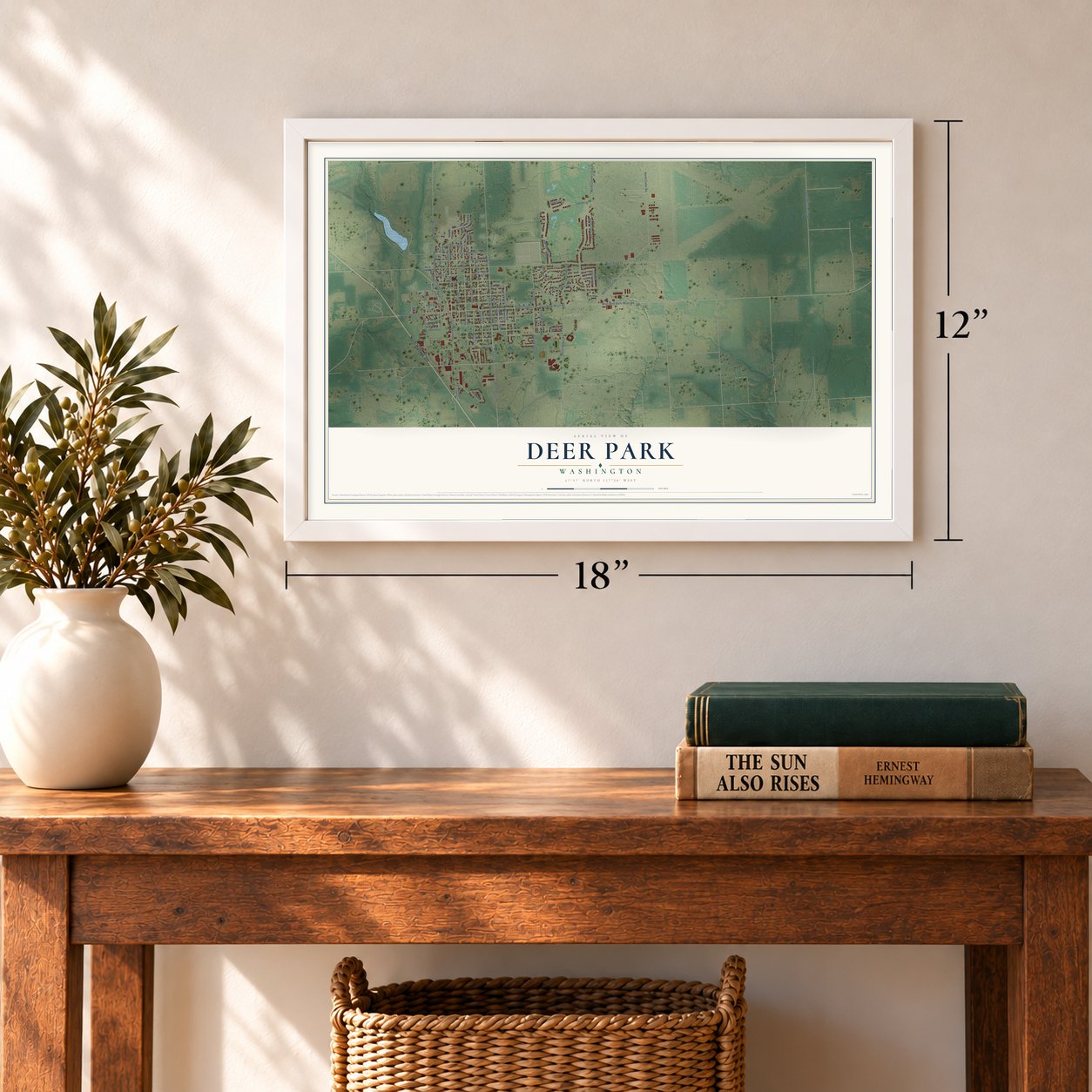
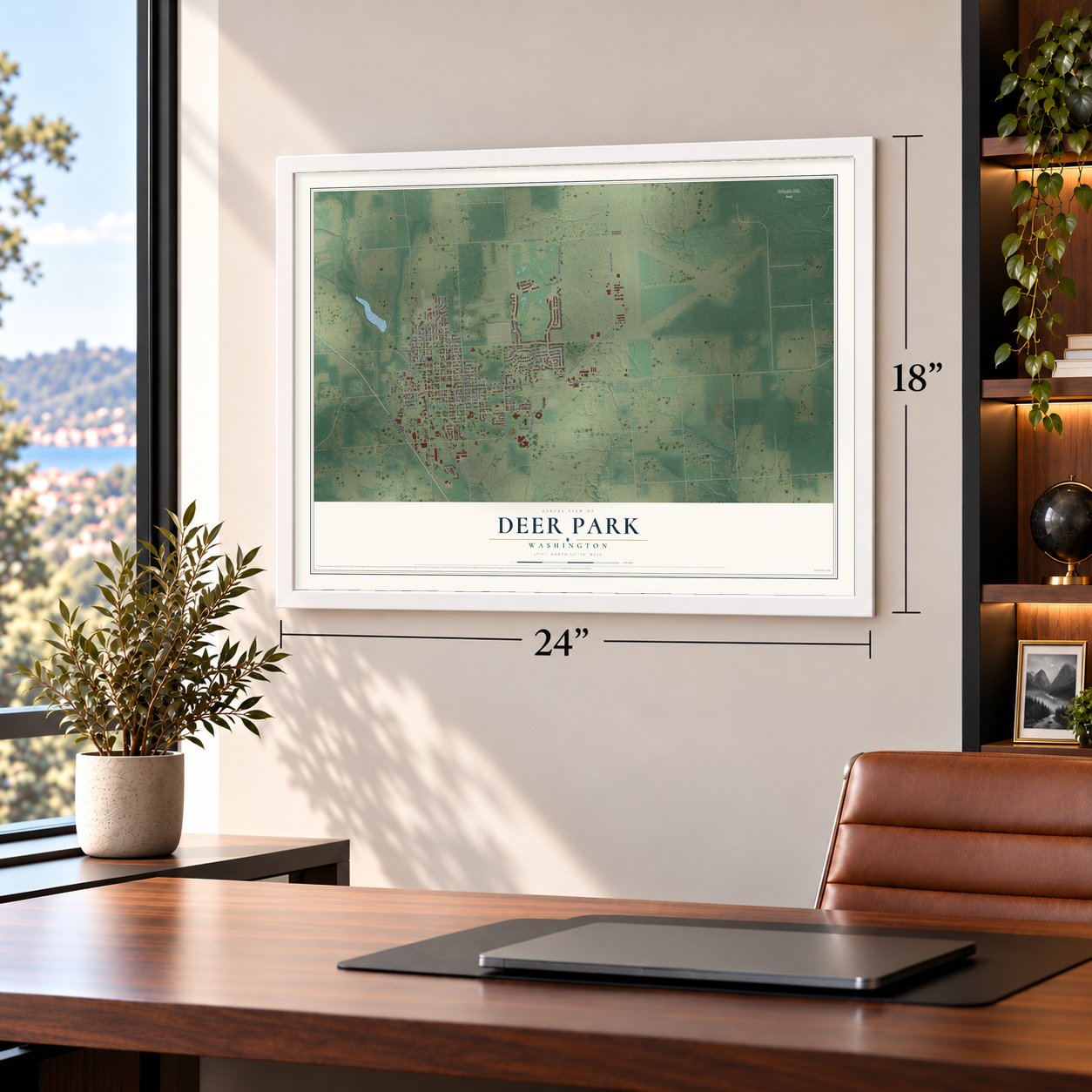
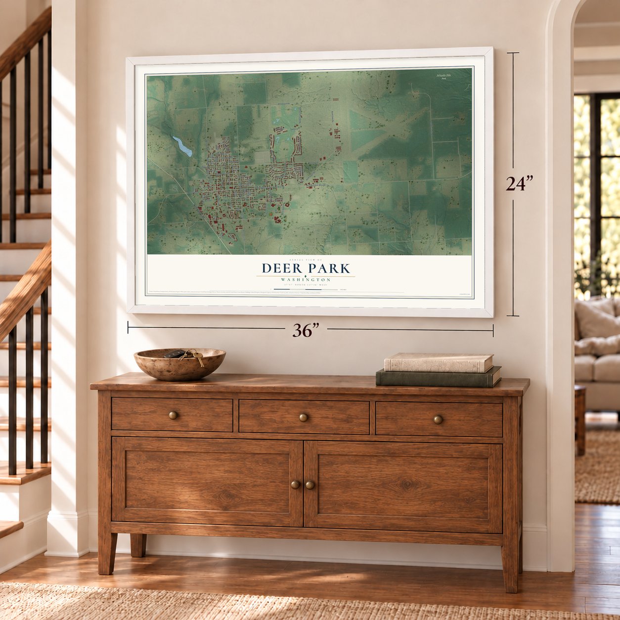
Deer Park, Washington Map Art
A new map of Deer Park, Washington, made in 2026 and printed to order on thick archival matte paper.
12" x 18" Archival Matte Print
A Map of Home. A Work of Art.
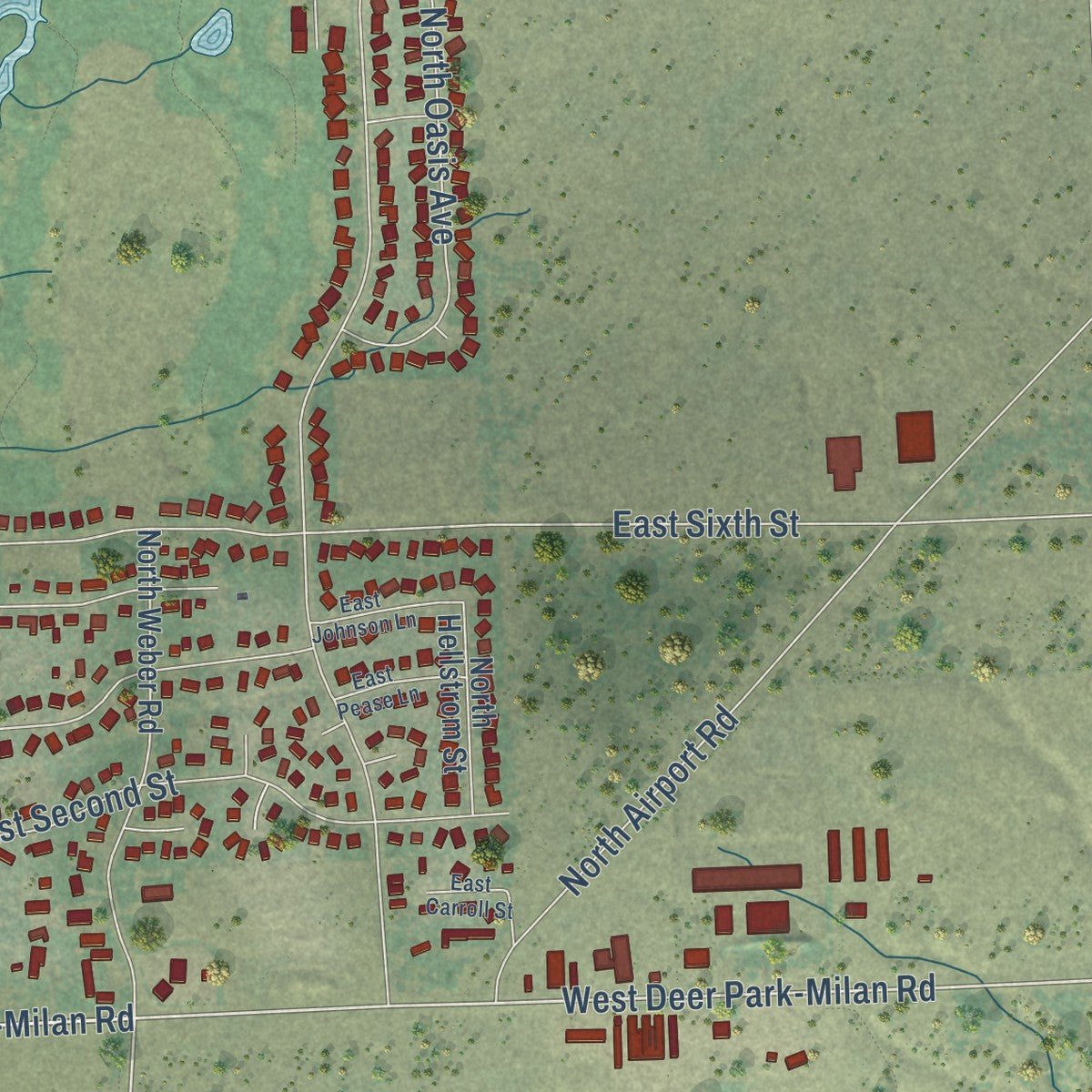
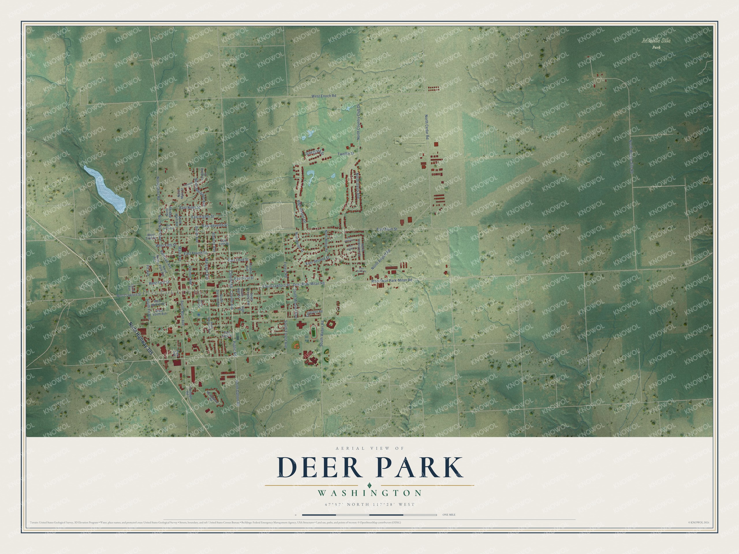
Explore Deer Park, Washington from a whole new perspective. Created using aerial imagery and detailed geographic data, this map captures Deer Park building by building, with labeled streets, familiar landmarks, and shaded topographical relief that highlights the natural contours of the landscape.
Combining modern data with the timeless character of a vintage atlas, this map is just as interesting up close as it is beautiful on the wall. Whether you grew up in Deer Park, spent memorable years there, or call it home today, this unique map is a great way to celebrate a place that means something to you. Zoom in on the preview to look for your street, and then order a print to put your memories on the wall.
Three ways to hang it
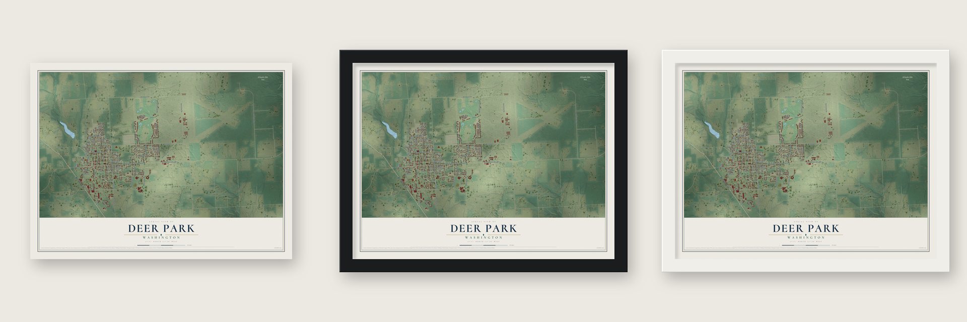
Unframed archival matte, a black wood frame or a white wood frame.
Up close
Geography Worth Displaying
This map was created using accurate cartographic data and authoritative geographic sources, including the U.S. Geological Survey and the Census Bureau. The map brings together terrain, waterways, roads, and building detail. The majority of the streets are labeled, houses are accurately depicted, and the topography is derived from government sources. Combining local data with carefully composed color and shading leads to this beautifully detailed Deer Park artwork for your wall.
Rather than simply showing street outlines, we’ve included as many of the street names as we could reasonably fit on the map while keeping their names legible. Zoom in on the high resolution preview to see exactly what’s on the map. We truly set out to create a statement piece for anyone who loves Deer Park. So whether it’s for you, or a gift for someone you love, we hope this map of Deer Park brings back fond memories.
Read the story behind this map of Deer Park, Washington from 2026.

About Deer Park, Washington
Deer Park is a city of 4,383 people in Spokane County, 22 miles north of Spokane, on land the Spokane people had lived on for centuries. In 1889 Daniel Chase Corbin took charge of the Spokane Falls & Northern Railway. That August his crews reached a planned stop five miles past the Wild Rose and Half Moon prairies, and a town quickly grew up around the siding there.
That July a fire had burned most of downtown Spokane. William Hopkins Short and his brother-in-law George Crawford rented a portable sawmill, set it up beside the new siding and shipped lumber south to rebuild the city. Within a year they had bought the mill and the land that became the town center, and Short built a boarding house for their loggers. Deer Park was incorporated as a city on June 24, 1908.
“The abundance of deer roaming the forested park-like landscape had caught the attention of the surveyors, who named the site accordingly.”
- The Cottonwood Road, 1867Settlers in Chewelah, to the north, wanted a shorter way to the Spokane River Valley than the old Colville Road. In 1867 they cut a route through about 60 miles of forest along Cottonwood Creek, passing through what is now Deer Park to meet the Mullan Road. Snow and mud often closed it, but it carried freight and travelers between the Spokane and Colville valleys until the railroad came in 1889.
- First settlers in 1883Louis C. Gemmill and James Evans arrived in 1883, and in 1885 Rowland Hazard began selling goods and handling the mail from a store at Wild Rose Prairie. Many homesteaders came from Norway and Sweden and found the land and climate familiar. As they cleared old timber for farms, Gemmill built one of the first sawmills, on the south bank of Dragoon Creek, and the local lumber trade began.
- A sawmill town by 1900By 1900 about 300 people lived in Deer Park. Besides the sawmill they had three general stores, a blacksmith and harness shop, a livery stable, Dr. Prince's drug store, Jeff Moore's hotel, a school of about 75 students and a Congregational church. As many as eight sawmills ran within ten miles of town. Around 1906 the Arcadia Apple Orchards Company planted apple trees on the logged-over land.
- From airfield to missile siteThe airport east of town was built during World War II and dedicated in August 1944, with three paved runways each 6,100 feet long. In the early 1960s the 567th Strategic Missile Squadron of Fairchild AFB operated Atlas site 567-1 close to the airfield. The site was soon obsolete, so it closed in 1965 and was sold for salvage in 1967.
- Settlers Days every JulyDeer Park honors its pioneer start each summer with Settlers Days, a fair and parade held on the fourth weekend in July. In January the town holds Winterfest, along with the Frostbite 5k.
Find your street
Names on the Deer Park map
Every name below is printed on this map. Look for your street, your school, the park where you played, or the pond down the road.
Places and landmarks2
- Deer Park City Hall
- Missile Silo Park
Streets and roads75
- North Highway 395
- East Crawford Street
- Main Avenue
- East Seventh Street
- Public Road
- Colville Road
- West Deer Park-Milan Road
- Deer Park-Milan Road
- South Weber Road
- Twelfth Street
- East First Street
- North Margaret Avenue
- Vernon Avenue
- East Sixth Street
- Arnim Avenue
- North North Avenue
- Stevens Avenue
- East Eighth Street
- Margaret Avenue
- North Cedar Road
- North Missile Site Road
- North Country Club Drive
- East Second Street
- West Enoch Road
- South Main Avenue
- East Fourth Street
- East Third Street
- North Airport Road
- North Dalton Road
- High Desert Drive
Show all 75 streets
- South Fir Avenue
- South Forest Avenue
- North Oasis Avenue
- Colville Avenue
- Forest Road
- North Short Road
- West First Street
- Railroad Avenue
- East Ninth Street
- South Mission Avenue
- Fir Avenue
- West Fifth Street
- Sawgrass Street
- West Crawford Street
- North Main Avenue
- South Arcadia Avenue
- Arcadia Avenue
- Lenhard Drive
- East East Street
- East Fifth Street
- North Weber Road
- North Park Avenue
- North Reiper Street
- West Sixth Street
- North Hellstrom Street
- North Main Street
- West South Avenue
- Evergreen Road
- South High Street
- South Stevens Avenue
- West Moore Street
- Frontage Road
- Larch Avenue
- North Park Road
- Park Avenue
- North Avenue
- High Street
- South Margaret Avenue
- Meadowmere Road
- South Arnim Avenue
- West Seventh Street
- Eleventh Street
- East Johnson Lane
- East Carroll Street
- East Pease Lane
Names are listed as they appear on the printed map. Zoom into the product photos to find them.
The art of mapping a place
How This Map Was Made
Real places. Remarkable detail. Discover the layers that turn geographic data into a map of home.

The view from above
Aerial imagery reveals the character of the land: woodland, open fields, and the patterns of a place.

The shape of the land
Elevation data brings hills, valleys, and subtle changes in the landscape into view.

The details of home
Roads, waterways, and building footprints come together to make the map feel unmistakably local.

Geography becomes art
Considered color, shading, and typography bring the layers together in a map made for your wall.


Process illustrated with Mendon, Massachusetts. Aerial imagery: USDA NAIP. Terrain: USGS 3D Elevation Program. Map details and finished artwork: KNOWOL.
The Details
About This Print
Choose an archival matte print, or a black or white Ayous wood frame. The archival matte print is unframed.
Select your size and finish above to see the matching product image and price.
Materials & Craftsmanship
A contemporary map with the character of a classic atlas, printed on archival matte paper. Optional frames are made from Ayous wood.
Your printed map does not include the watermark shown in the full-map preview.
Shipping & Delivery
Free shipping within the United States. Every print is made to order in the USA.
Buying a gift? Add a note in your cart and we'll include it. We never put prices in the package.
Prints ship within 2 to 3 business days. Allow 7 to 10 days total from ordering for delivery. Timing may vary during holidays or periods of high order volume.
Read our shipping policy.
Returns and damaged prints
Each print is made to order. Change-of-mind refunds are not available after production.
If your print arrives damaged, misprinted or incorrect, contact support@knowol.com within 30 days of receiving it. Include your order number, photos and a description of the issue.
Read our full refund and replacement policy. For questions about your order, email support@knowol.com.
Find your town
Looking for another city?
Find a map of home in our Washington collection, or any town in the country.
Nearby
Maps of towns near Deer Park
Know someone from one of these towns? Their map makes a great gift.
 Clayton
, Washington
From $39.99See the map
 Loon Lake
, Washington
From $39.99See the map
 Suncrest
, Washington
From $39.99See the map
More maps nearby: Green Bluff, Mead, Country Homes, Springdale and Newport.