
Search for another town



Free U.S. delivery 7 to 10 days after you order
Deming, New Mexico Map Art
A new map of Deming, New Mexico, made in 2026 and printed to order on thick archival matte paper.
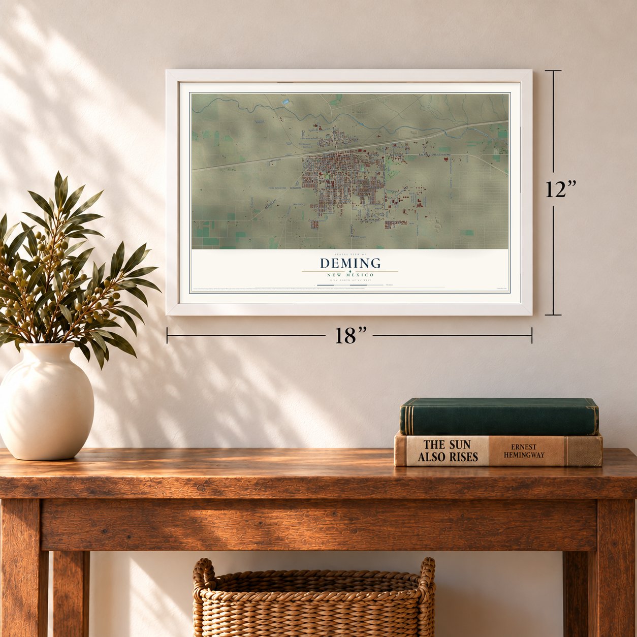
12" x 18" Archival Matte Print
A Map of Home. A Work of Art.
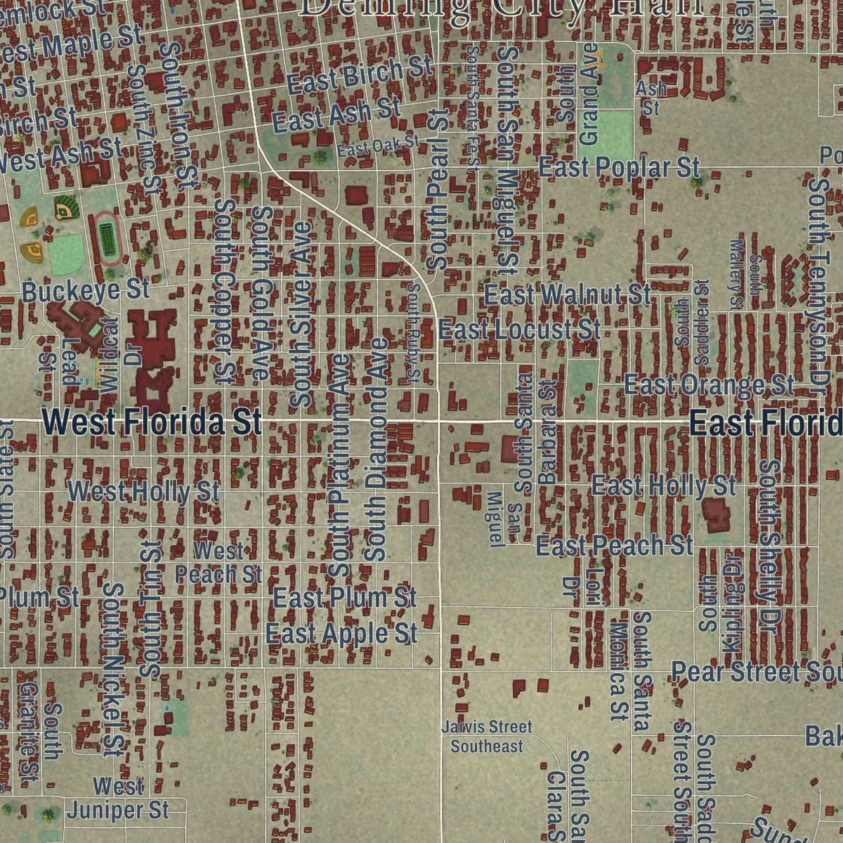
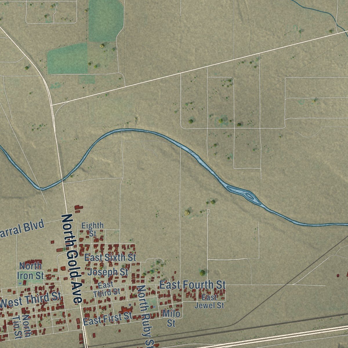
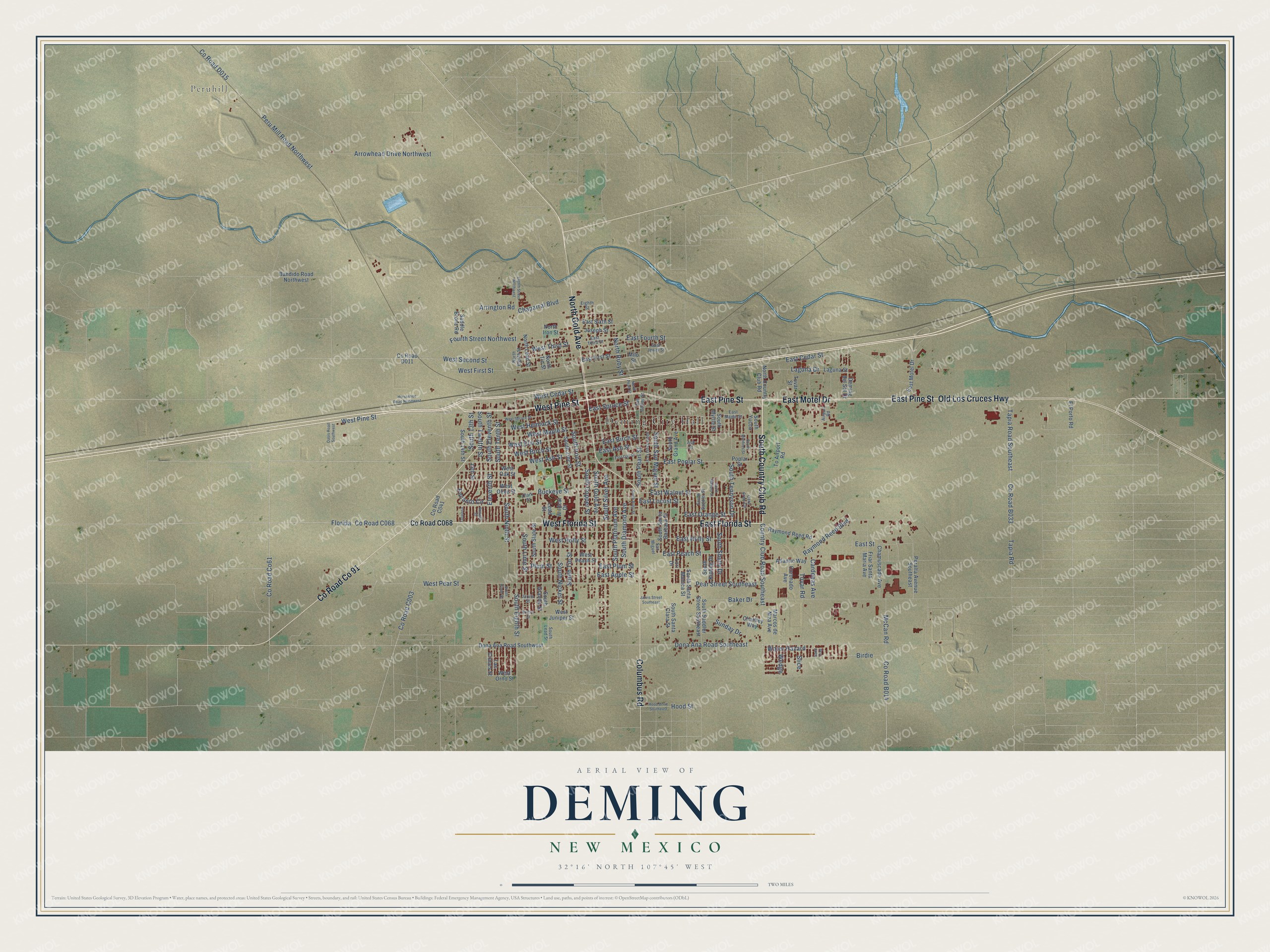
Explore Deming, New Mexico from a whole new perspective. Created using aerial imagery and detailed geographic data, this map captures Deming building by building, with labeled streets, familiar landmarks, and shaded topographical relief that highlights the natural contours of the landscape.
Combining modern data with the timeless character of a vintage atlas, this map is just as interesting up close as it is beautiful on the wall. Whether you grew up in Deming, spent memorable years there, or call it home today, this unique map is a great way to celebrate a place that means something to you. Zoom in on the preview to look for your street, and then order a print to put your memories on the wall.
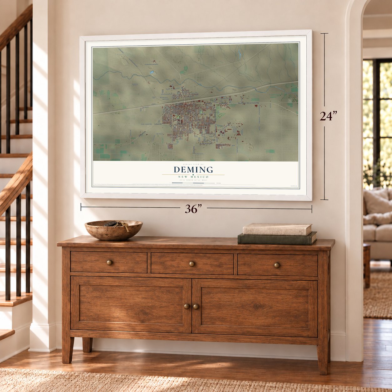
Three ways to hang it
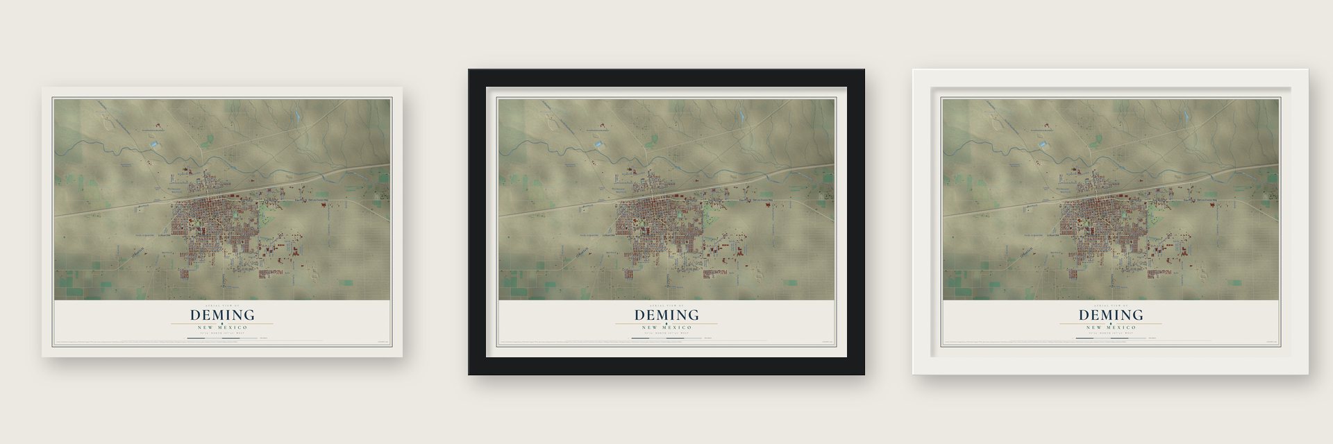
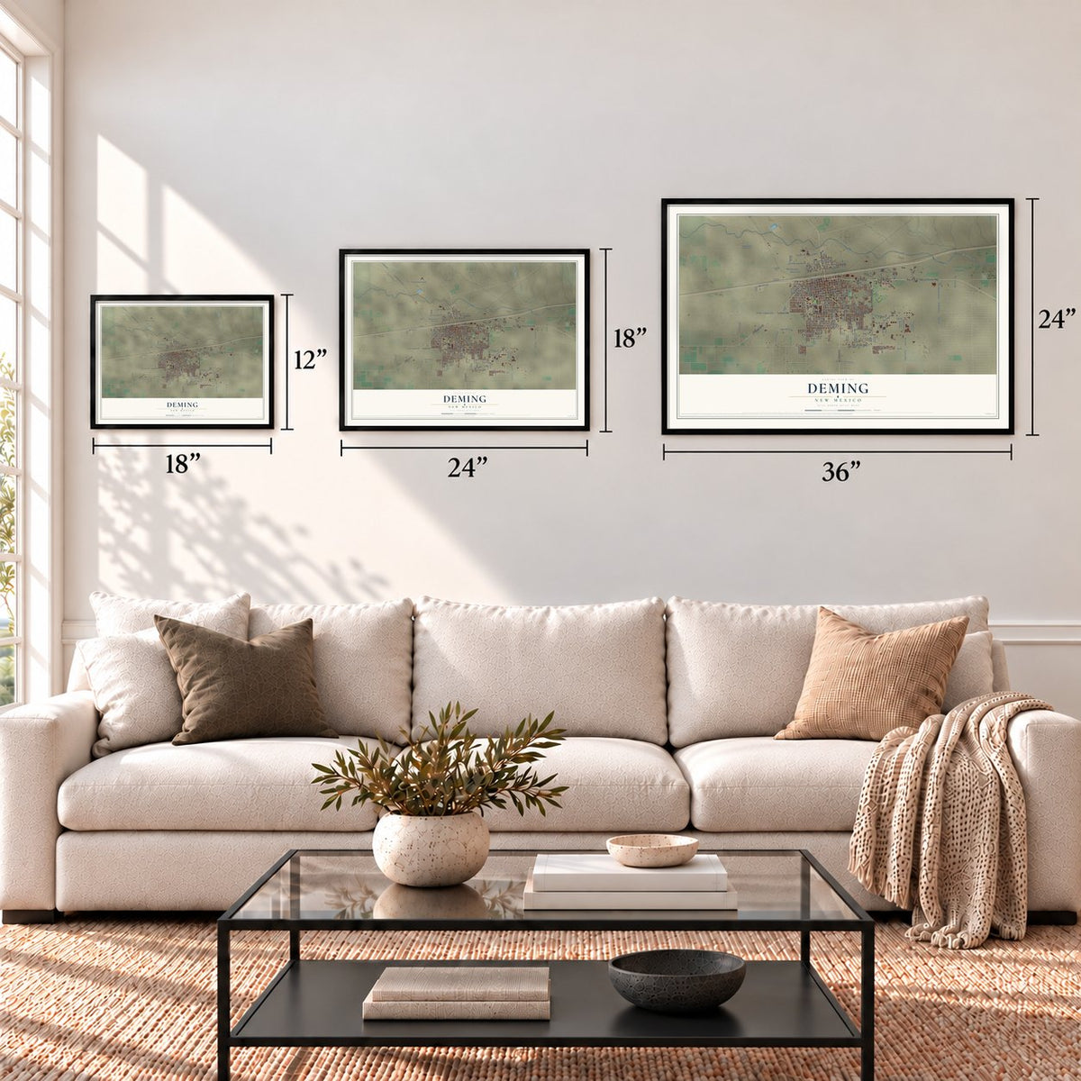
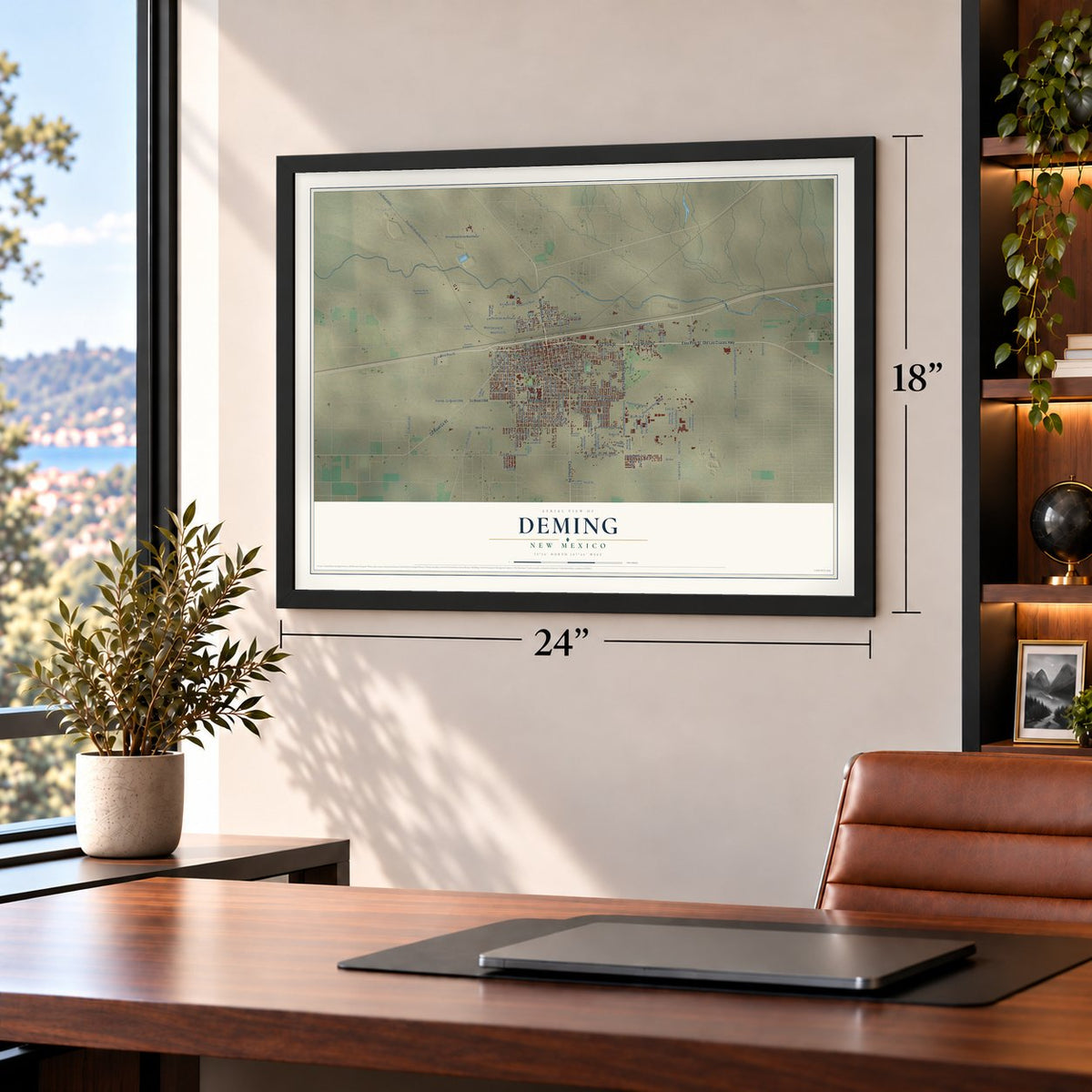
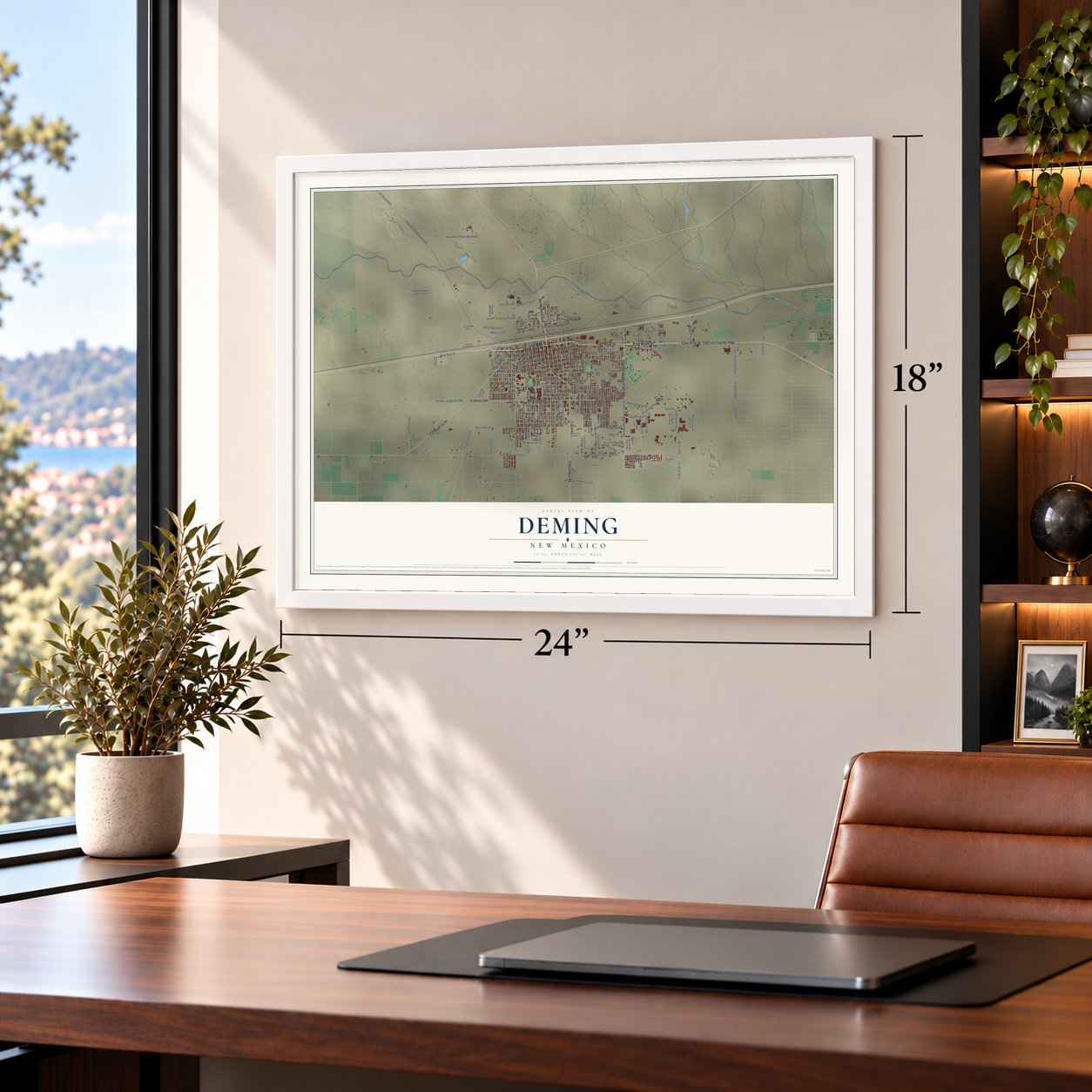
Unframed archival matte, a black wood frame or a white wood frame.
Up close
Geography Worth Displaying
This map was created using accurate cartographic data and authoritative geographic sources, including the U.S. Geological Survey and the Census Bureau. The map brings together terrain, waterways, roads, and building detail. The majority of the streets are labeled, houses are accurately depicted, and the topography is derived from government sources. Combining local data with carefully composed color and shading leads to this beautifully detailed Deming artwork for your wall.
Rather than simply showing street outlines, we’ve included as many of the street names as we could reasonably fit on the map while keeping their names legible. Zoom in on the high resolution preview to see exactly what’s on the map. We truly set out to create a statement piece for anyone who loves Deming. So whether it’s for you, or a gift for someone you love, we hope this map of Deming brings back fond memories.
Read the story behind this map of Deming, New Mexico from 2026.

About Deming, New Mexico
Deming is a city of 14,758 people and the seat of Luna County, about 35 miles north of the Mexican border. The land it stands on came to the United States in the Gadsden Purchase of 1853. The country bought that land from Mexico so a railroad could reach California by a southern route. The settlement here was once called Rio Mimbres. Deming was founded in 1881 and named for Mary Ann Deming Crocker, whose husband, Charles Crocker, was one of the Big Four of California's railroads.
On March 8, 1881, the Southern Pacific met the Rio Grande, Mexico and Pacific, a Santa Fe subsidiary, at Deming. A Silver Spike was driven to mark the meeting, which finished the second railroad to cross North America. People expected the junction to make the town grow like Chicago, so they nicknamed it "New Chicago." Deming was incorporated in 1902.
“Like most southwestern towns, Deming was founded upon railroad land. The first government grant of land covering its site was to the Texas Pacific Railroad, covering each alternate section from Texas to the Pacific coast.”
- Lost at Bataan in 1942Deming's National Guard unit, the 200th Coast Artillery Regiment, fought in the Philippines. The writer Alistair Cooke toured the area early in 1942. He found a town of about 2,000 people, and well over 150 of its men were presumed lost. The regiment surrendered to the Japanese on April 9, 1942, and its men were forced into the Bataan Death March.
- The Great American Duck RaceEvery year on the third weekend of August, Deming races ducks on wet and dry tracks. The festival also brings a hot air balloon show, the Tournament of Ducks Parade, a carnival and vendors in and around Courthouse Square.
- Mimbres pottery and the ArmoryThe Mimbres and Casas Grandes peoples made fine painted pottery and left beads, stone tools and carvings around Deming. Many pieces are shown at the Deming Luna Mimbres Museum. The museum fills the 1916 Deming Armory and the Customs House, with furnished rooms in the Seaman Field House and a restored Harvey House restaurant. The Armory joined the National Register in 1983, and the Seaman Field House followed in 1990.
Find your street
Names on the Deming map
Every name below is printed on this map. Look for your street, your school, the park where you played, or the pond down the road.
Places and landmarks2
- Deming City Hall
- Peruhill
Streets and roads161
- West Florida Street
- East Florida Street
- West Pine Street
- North Gold Avenue
- South Country Club Road
- East Pine Street
- Columbus Road
- East Motel Drive
- County Road Co 91
- Old Los Cruces Highway
- Dona Ana Road Southeast
- Florida
- County Road Co61
- Birdie
- West Ash Street
- South Eleventh Street
- Eleventh Street
- South Twelfth Street
- West Pear Street
- South Gold Avenue
- East Poplar Street
- West Second Street
- West Maple Street
- Baker Drive
- Plum Street
- South Tennyson Drive
- South Tenth Street
- South Iron Street
- South Diamond Avenue
- Tapia Road Southeast
Show all 161 streets
- Raymond Reed Boulevard
- Encanto Circle
- Tapia Road
- Cardenas Avenue
- Peru Mill Road Northwest
- East Cedar Street
- South Eighth Street
- South Silver Avenue
- South Ninth Street
- South Nickel Street
- South Platinum Avenue
- South Copper Street
- Country Club Road Southeast
- South Tin Street
- Pear Street Southeast
- Arrowhead Drive Northwest
- East Birch Street
- West First Street
- West Elm Street
- East Walnut Street
- West Birch Street
- West Hemlock Street
- East Orange Street
- South Shelly Drive
- East Peach Street
- East Holly Street
- South San Miguel Street
- West Cedar Street
- South Lime Street
- Fourth Street Northwest
- South Pearl Street
- East Street
- East Ash Street
- Laguna Drive
- East Locust Street
- East Fourth Street
- East Plum Street
- East Spruce Street
- West Holly Street
- West Third Street
- Hood Street
- Chaparral Boulevard
- Water Hazard
- Sunday Drive
- North Ruby Street
- Arrington Road
- McCan Road
- East Apple Street
- South 13th Street
- Buckeye Street
- Tovar Road
- Wedge
- Slice
- Dona Ana Road Southwest
- Bandido Road Northwest
- South Santa Monica Street
- North Country Club Road
- South Granite Street
- Friar Santa Maria Avenue
- West Juniper Street
- South Santa Barbara Street
- South Slate Street
- West Oak Street
- South Santa Clara Street
- South Zinc Street
- Laguna Street
- West Peach Street
- South Saddler Street Southeast
- North Iron Street
- Raymond Reed Road
- To Airport Road
- Peralta Avenue Southeast
- Atlantic Way
- East Sixth Street
- West Olive Street
- Chamuscado Avenue
- Las Cruces Street
- South Yucca
- South Kipling Drive
- North Lead Street
- East First Street
- Marcos de Niza Avenue
- Deming del Sol Drive
- South 14th Street
- North Tin Street
- Joseph Street
- South Myrtle Street
- Lead Street
- Wildcat Drive
- Chartley Way
- El Porto Road
- Poplar Street
- Lori Drive
- Coronado Avenue
- West Orno Street
- South Grand Avenue
- Tovar Street
- Saddle Bronc Road
- 13th Street
- Milo Street
- South Lead Street
- East Maple Street
- South Saddler Street
- San Carlos Street
- North Eighth Street
- East Jewel Street
- East Third Street
- Care Free Circle
- Jarvis Street
- Airport Road
- San Miguel
- Eighth Street
- Clark Street
- Ash Street
- West Spruce Street
- South Ruby Street
- South Santa Fe Street
- Eighth Street Northwest
- Hood Drive Southeast
- East Oak Street
- South Mallery Street
- North Pearl Street
- Horseshoe Road Northwest
- South Mimbres Street
- Jarvis Street Southeast
- Oasis Road Southwest
- Wilcox Street
- Roswell Street
- Tularosa
- South Pinon Street
- Sand Trap
Names are listed as they appear on the printed map. Zoom into the product photos to find them.
The art of mapping a place
How This Map Was Made
Real places. Remarkable detail. Discover the layers that turn geographic data into a map of home.

The view from above
Aerial imagery reveals the character of the land: woodland, open fields, and the patterns of a place.

The shape of the land
Elevation data brings hills, valleys, and subtle changes in the landscape into view.

The details of home
Roads, waterways, and building footprints come together to make the map feel unmistakably local.

Geography becomes art
Considered color, shading, and typography bring the layers together in a map made for your wall.


Process illustrated with Mendon, Massachusetts. Aerial imagery: USDA NAIP. Terrain: USGS 3D Elevation Program. Map details and finished artwork: KNOWOL.
The Details
About This Print
Choose an archival matte print, or a black or white Ayous wood frame. The archival matte print is unframed.
Select your size and finish above to see the matching product image and price.
Materials & Craftsmanship
A contemporary map with the character of a classic atlas, printed on archival matte paper. Optional frames are made from Ayous wood.
Your printed map does not include the watermark shown in the full-map preview.
Shipping & Delivery
Free shipping within the United States. Every print is made to order in the USA.
Buying a gift? Add a note in your cart and we'll include it. We never put prices in the package.
Prints ship within 2 to 3 business days. Allow 7 to 10 days total from ordering for delivery. Timing may vary during holidays or periods of high order volume.
Read our shipping policy.
Returns and damaged prints
Each print is made to order. Change-of-mind refunds are not available after production.
If your print arrives damaged, misprinted or incorrect, contact support@knowol.com within 30 days of receiving it. Include your order number, photos and a description of the issue.
Read our full refund and replacement policy. For questions about your order, email support@knowol.com.
Find your town
Looking for another city?
Find a map of home in our New Mexico collection, or any town in the country.
Nearby
Maps of towns near Deming
Know someone from one of these towns? Their map makes a great gift.
 Mountain View
, Luna County, New Mexico
From $39.99See the map
 Pulpotio Bareas
, New Mexico
From $39.99See the map
 Keeler Farm
, New Mexico
From $39.99See the map
More maps nearby: La Hacienda, Ventura, Pecan Park, Sunshine and Old Town.