
Search for another town

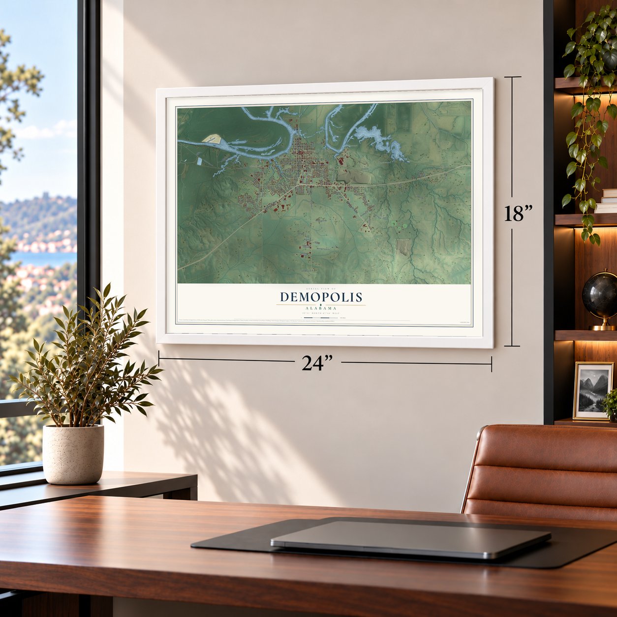

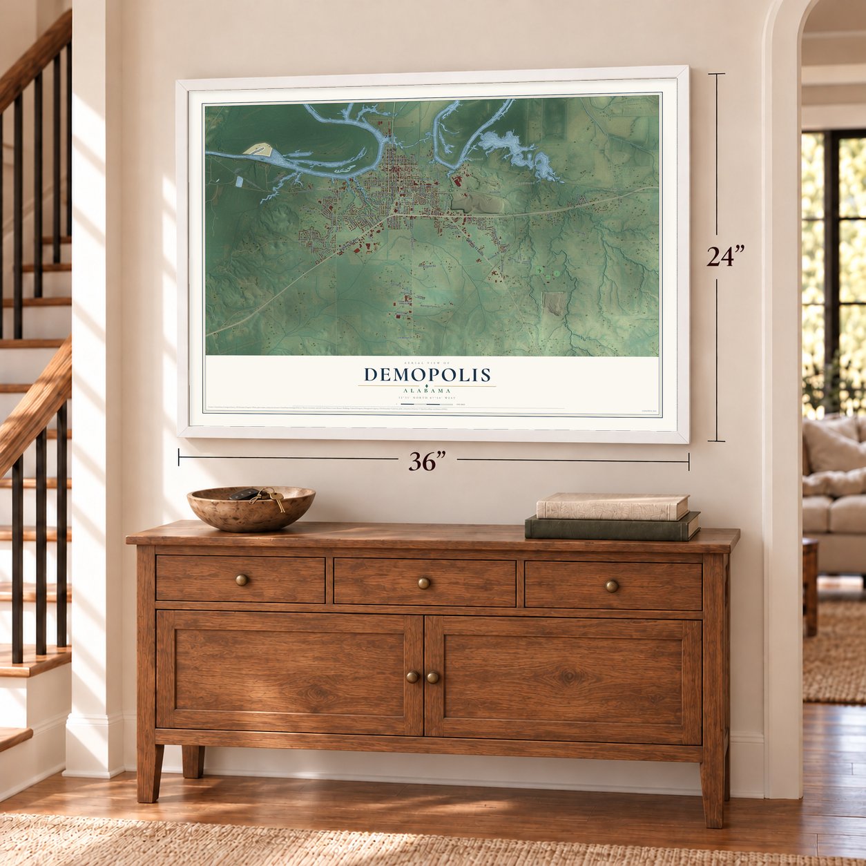

Free U.S. delivery 7 to 10 days after you order
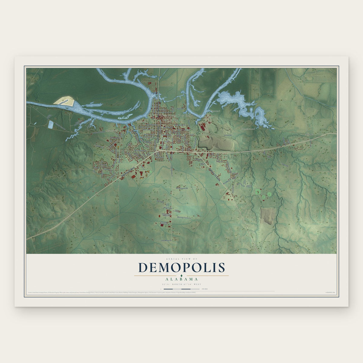
Demopolis, Alabama Map Art
A new map of Demopolis, Alabama, made in 2026 and printed to order on thick archival matte paper.
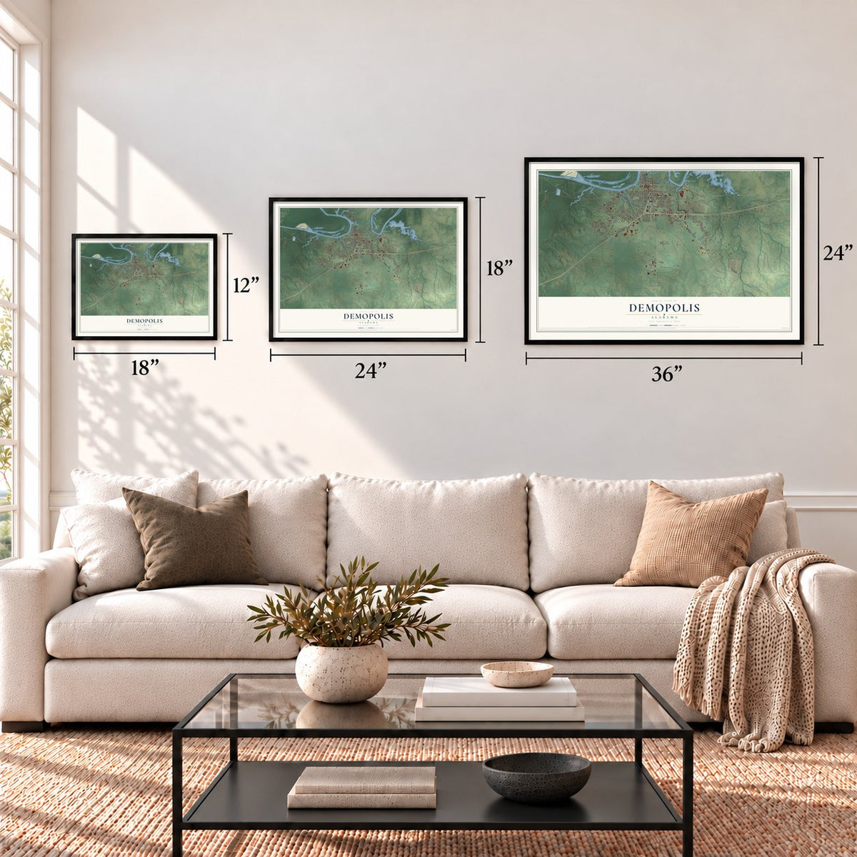
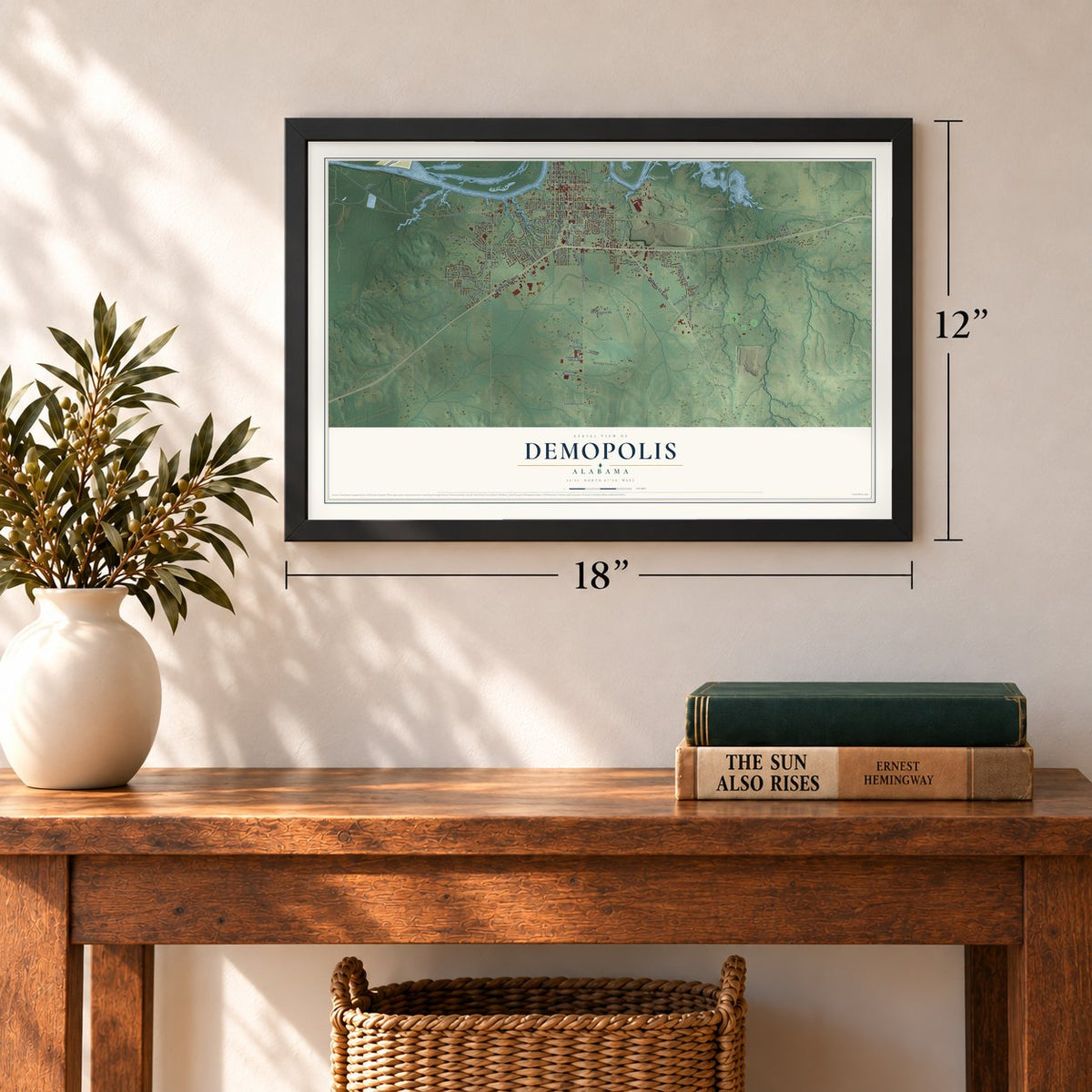
12" x 18" Archival Matte Print
A Map of Home. A Work of Art.
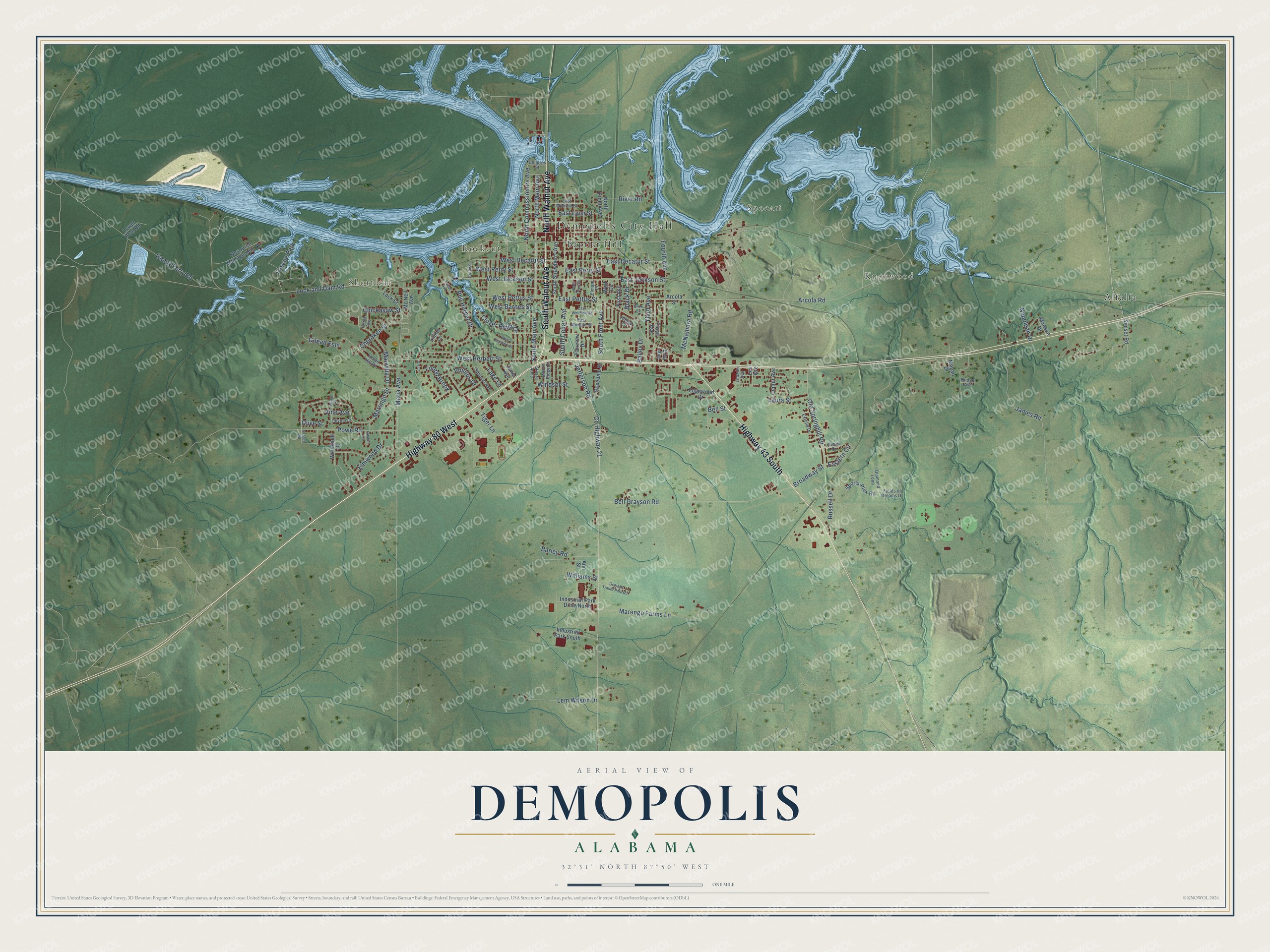
Explore Demopolis, Alabama from a whole new perspective. Created using aerial imagery and detailed geographic data, this map captures Demopolis building by building, with labeled streets, familiar landmarks, and shaded topographical relief that highlights the natural contours of the landscape.
Combining modern data with the timeless character of a vintage atlas, this map is just as interesting up close as it is beautiful on the wall. Whether you grew up in Demopolis, spent memorable years there, or call it home today, this unique map is a great way to celebrate a place that means something to you. Zoom in on the preview to look for your street, and then order a print to put your memories on the wall.
Three ways to hang it
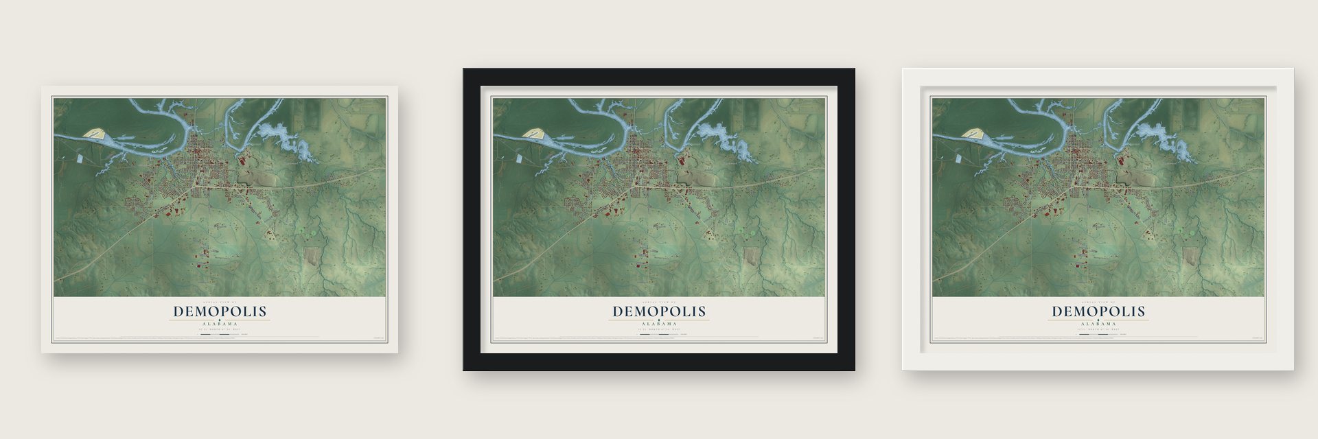
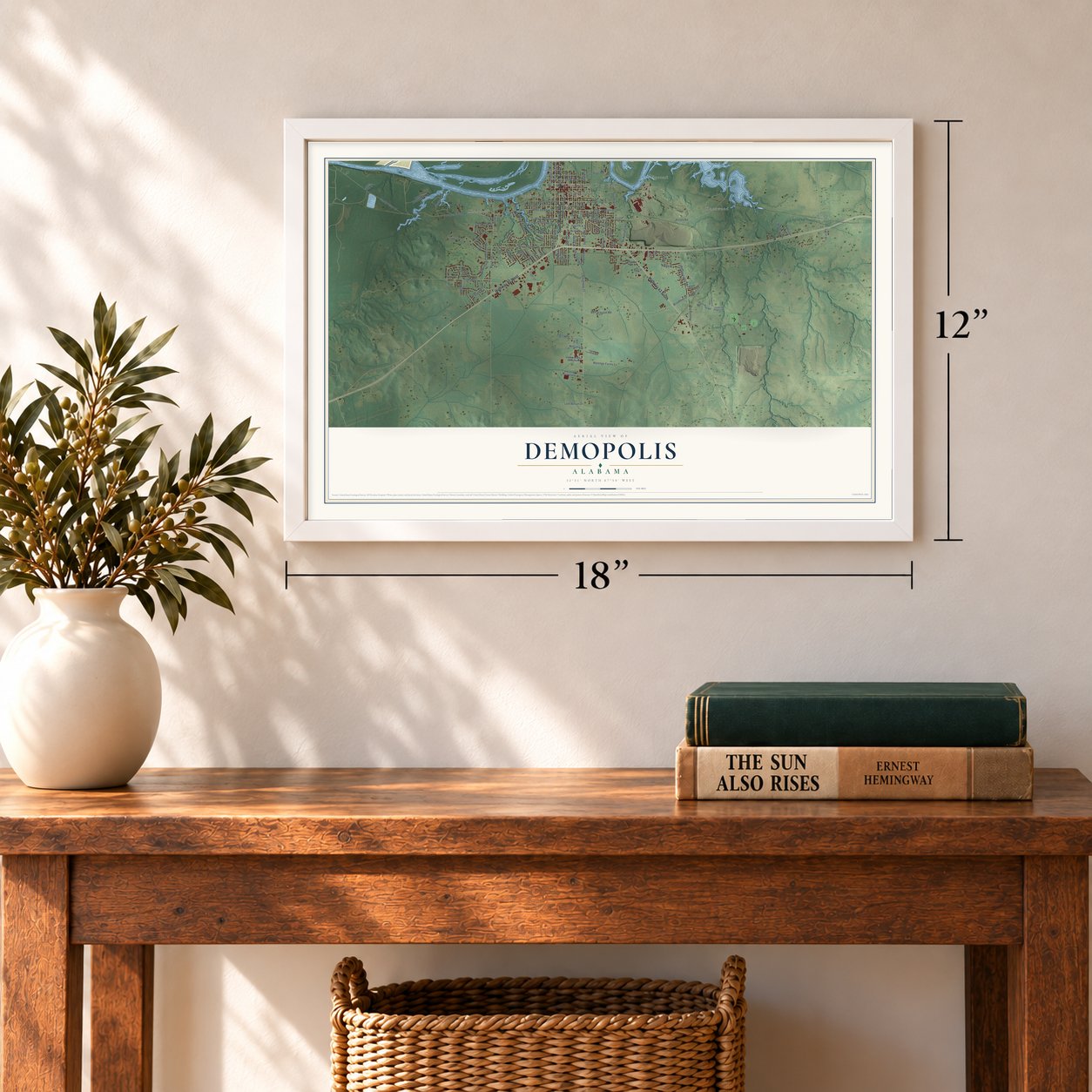
Unframed archival matte, a black wood frame or a white wood frame.
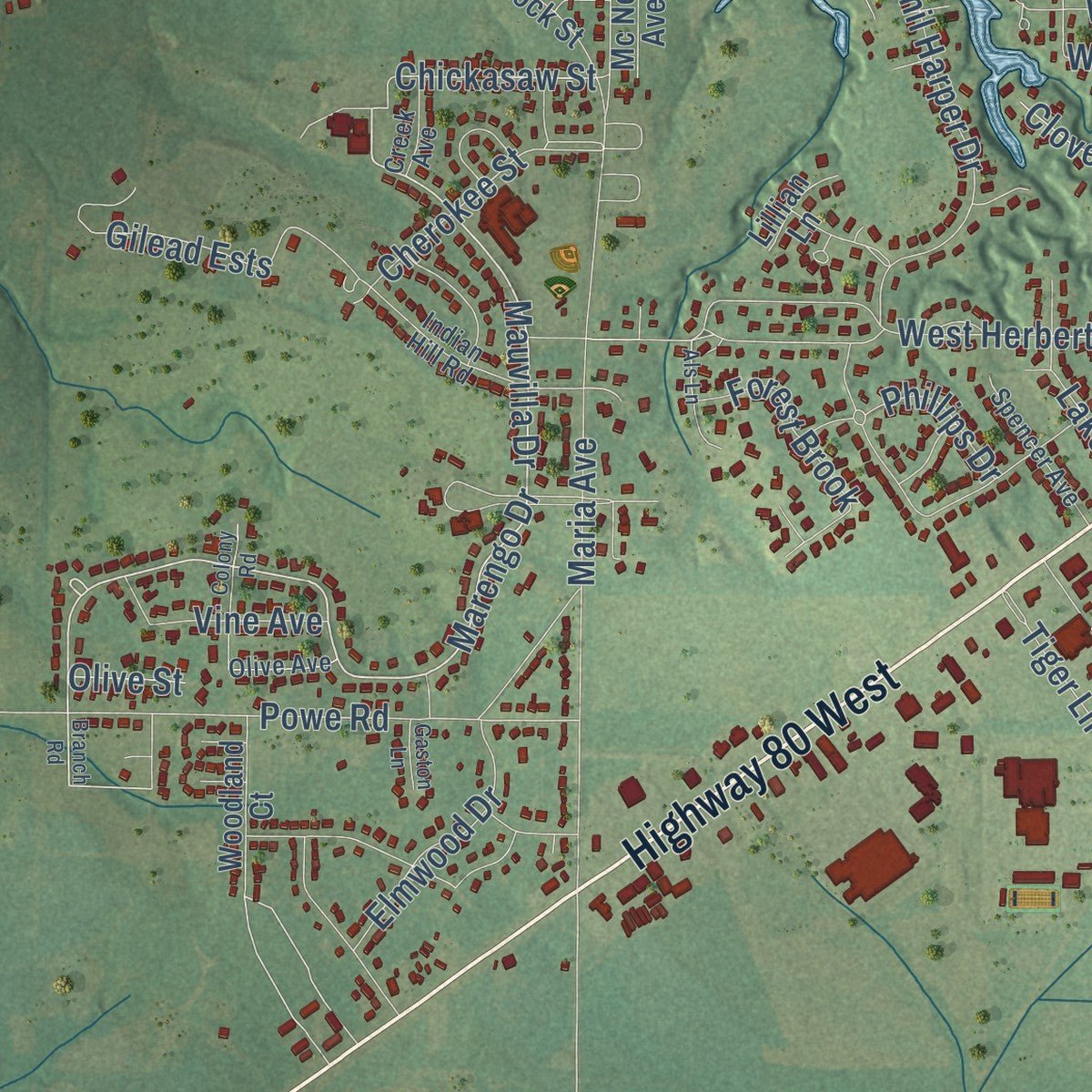
Up close
Geography Worth Displaying
This map was created using accurate cartographic data and authoritative geographic sources, including the U.S. Geological Survey and the Census Bureau. The map brings together terrain, waterways, roads, and building detail. The majority of the streets are labeled, houses are accurately depicted, and the topography is derived from government sources. Combining local data with carefully composed color and shading leads to this beautifully detailed Demopolis artwork for your wall.
Rather than simply showing street outlines, we’ve included as many of the street names as we could reasonably fit on the map while keeping their names legible. Zoom in on the high resolution preview to see exactly what’s on the map. We truly set out to create a statement piece for anyone who loves Demopolis. So whether it’s for you, or a gift for someone you love, we hope this map of Demopolis brings back fond memories.
Read the story behind this map of Demopolis, Alabama from 2026.

About Demopolis, Alabama
Demopolis is a city of 7,162 people in Marengo County, where the Black Warrior River flows into the Tombigbee. French exiles who had gathered in Philadelphia asked Congress for land, and an act of March 3, 1817, let them buy four townships at $2 per acre on the condition that they grow grapes and olives. By July 14, 1817, a small party had cleared a site on White Bluff and named it Demopolis, Greek for "city of the people."
The Vine and Olive Colony struggled from the start. The land suited neither crop, supplies were costly in such a remote spot, and by 1818 only 69 settlers were left. A survey in August 1818 showed that their grant really started less than a mile east of the clearing, so the French moved on and founded Aigleville and Arcola. American buyers formed the White Bluff Association in 1819, George Strother Gaines bought the bluff, and the first lots sold on April 22, 1819. Demopolis was incorporated on December 11, 1821.
- A cotton gin made hereThe rich Black Belt soil made Demopolis a center of the cotton economy. That trade drew the inventor Fones McCarthy to the city in 1838, and he started the Demopolis Manufacturing Company to build his new cotton gin. Cattle grew in importance over the next century, and in 1944 the state's cattle raisers chose Demopolis as the birthplace of the Alabama Cattleman's Association.
- Bluff Hall, 1832Enslaved workers owned by Allen Glover built Bluff Hall on White Bluff, above the Tombigbee, in 1832. It was a gift to Glover's daughter Sarah Serena and the man she married, Francis Strother Lyon. Lyon, a lawyer and planter, sat in both the Confederate and the United States congresses, and Generals Leonidas Polk and Zachary Deas often stayed there during the war. The Marengo County Historical Society now owns the house, which joined the National Register in 1970.
- Gaineswood's three ordersGen. Nathan Bryan Whitfield, a Canebrake planter, spent the years from 1842 to 1860 building Gaineswood with imported materials and craftsmen. He gave it a Doric exterior, a Corinthian ballroom and an Ionic parlor and dining room, finished with domes, mirrors and chandeliers. He named it for George Strother Gaines, the federal agent to the Choctaw Nation. Gaineswood joined the National Register in 1972.
- From church to opera houseThe Presbyterians finished a brick church on the town square in 1843, and federal troops occupied it during Reconstruction. In 1876 the town leased it to the Demopolis Opera Association, which staged plays, minstrel shows and lectures, bringing in performers from New York and New Orleans until it closed in 1902. The association's secretary, Leonard Newhouse, was a grandfather of Lillian Hellman, whose play The Little Foxes is set in Demopolis and drawn from her family there.
- Houdini on Strawberry AvenueFrederick Henry Braswell opened a theater in the galleries over his hardware store on Strawberry Avenue on October 23, 1902. His partners later ran the Si-Non, where Jack Dempsey and Harry Houdini made appearances. When the Marengo Theater opened on September 14, 1935, the high point of the night was a phone call from Jean Harlow to Mayor N.C. Floyd.
Find your street
Names on the Demopolis map
Every name below is printed on this map. Look for your street, your school, the park where you played, or the pond down the road.
Places and landmarks8
- Demopolis City Hall
- Knoxwood
- Shortleaf
- Spocari
- Rockcut
- Alfalfa
- Baptist Hill
- Foscue Park
Streets and roads115
- Highway 80 West
- South Walnut Avenue
- North Walnut Avenue
- Highway 43 South
- North Main Avenue
- North Commissioners Avenue
- Marengo Drive
- Mauvilla Drive
- South Main Avenue
- Old Springhill Road
- Jefferson Road
- Phil Harper Drive
- Chickasaw Street
- Broadway Street
- Maria Avenue
- Arcola Road
- Lock and Dam Road
- County Highway 21
- Powe Road
- Bell Grayson Road
- East Pettus Street
- West Jackson Street
- West Herbert Street
- South Cedar Avenue
- Gandy Ferry Road
- East Jackson Street
- East Decatur Street
- South Front Avenue
- James Road
- Fourth Avenue
Show all 115 streets
- West Perry Street
- Third Avenue
- Elmwood Drive
- Marengo Farms Lane
- West Pettus Street
- West Decatur Street
- Lem Wilson Drive
- Barley Road
- Russell Drive
- River Road
- Cherokee Street
- McNamara Road
- Gilead Ests
- Forest Brook
- East Lyon Street
- Phillips Drive
- Clover Ridge Drive
- Lake Lane
- West Barnes Street
- Laura Street
- Olive Street
- Tiger Lane
- East Perry Street
- Williams Street
- Napolean Drive
- Bell Street
- Eastern Circle
- Black Drive
- Vine Avenue
- Windsor Street
- Bailey Drive
- Sports-Plex Road
- South Strawberry Avenue
- North Front Avenue
- Floyd Avenue
- Industrial Park Drive North
- Lock Street
- Resource Management Drive
- Sunset Road
- First Avenue
- Industrial Park South
- Rosedale Drive
- Woodland Court
- Center Avenue
- Edgewood Drive
- Wolf Circle
- Lower Pool Road
- Fairview Drive
- Janet Avenue
- Mc Neil Avenue
- Megan Drive
- Manson Drive
- Lillian Lane
- Lee Avenue
- Arcola Street
- Ann Street
- Elva Avenue
- Childres Street
- East Monroe Street
- Diamond Loop
- Indian Hill Road
- Bridget Avenue
- Hilltop Circle
- Olive Avenue
- Spencer Avenue
- Estelle Drive
- East Morgan Street
- Mason Ridge Drive
- Fields of Dreams Drive
- James Drive
- Stuart Arms
- Elmore Place
- Creek Avenue
- Lincoln Avenue
- Branch Road
- Als Lane
- East Whitfield Street
- West Rembert Street
- Grayson Trailer Park Road
- Colony Road
- Helen Court Street
- Lamar Avenue
- Knox Circle
- Griffin Street
- Gaston Lane
Names are listed as they appear on the printed map. Zoom into the product photos to find them.
The art of mapping a place
How This Map Was Made
Real places. Remarkable detail. Discover the layers that turn geographic data into a map of home.

The view from above
Aerial imagery reveals the character of the land: woodland, open fields, and the patterns of a place.

The shape of the land
Elevation data brings hills, valleys, and subtle changes in the landscape into view.

The details of home
Roads, waterways, and building footprints come together to make the map feel unmistakably local.

Geography becomes art
Considered color, shading, and typography bring the layers together in a map made for your wall.


Process illustrated with Mendon, Massachusetts. Aerial imagery: USDA NAIP. Terrain: USGS 3D Elevation Program. Map details and finished artwork: KNOWOL.
The Details
About This Print
Choose an archival matte print, or a black or white Ayous wood frame. The archival matte print is unframed.
Select your size and finish above to see the matching product image and price.
Materials & Craftsmanship
A contemporary map with the character of a classic atlas, printed on archival matte paper. Optional frames are made from Ayous wood.
Your printed map does not include the watermark shown in the full-map preview.
Shipping & Delivery
Free shipping within the United States. Every print is made to order in the USA.
Buying a gift? Add a note in your cart and we'll include it. We never put prices in the package.
Prints ship within 2 to 3 business days. Allow 7 to 10 days total from ordering for delivery. Timing may vary during holidays or periods of high order volume.
Read our shipping policy.
Returns and damaged prints
Each print is made to order. Change-of-mind refunds are not available after production.
If your print arrives damaged, misprinted or incorrect, contact support@knowol.com within 30 days of receiving it. Include your order number, photos and a description of the issue.
Read our full refund and replacement policy. For questions about your order, email support@knowol.com.
Find your town
Looking for another city?
Find a map of home in our Alabama collection, or any town in the country.
Nearby
Maps of towns near Demopolis
Know someone from one of these towns? Their map makes a great gift.
 Forkland
, Alabama
From $39.99See the map
 Providence
, Alabama
From $39.99See the map
 Linden
, Alabama
From $39.99See the map
More maps nearby: Faunsdale, Dayton, Bellamy, Newbern and Myrtlewood.