
Search for another town





Free U.S. delivery 7 to 10 days after you order
Denver, Colorado Map Art
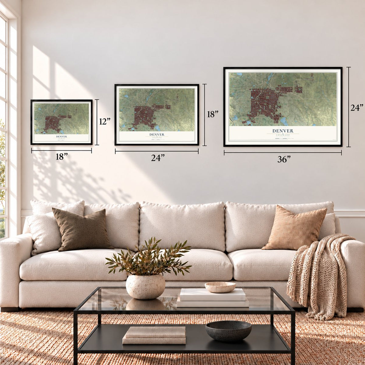
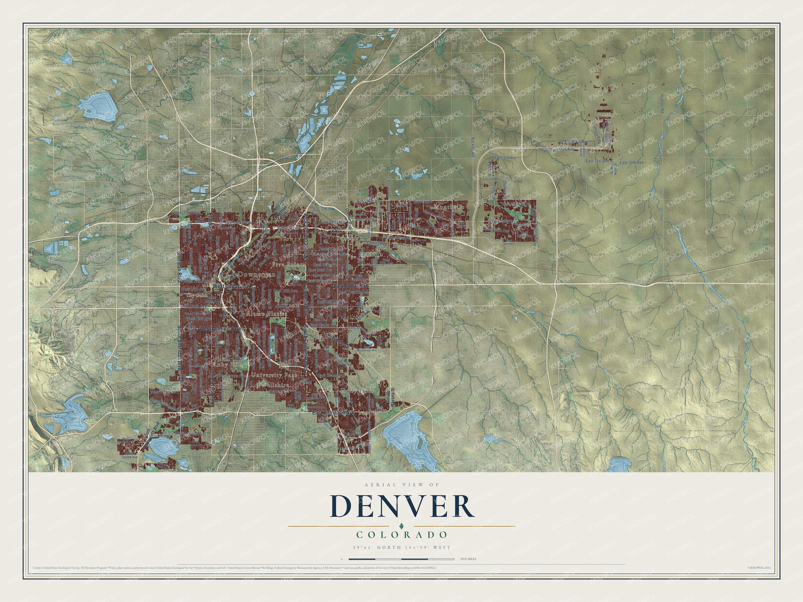
A new map of Denver, Colorado, made in 2026 and printed to order on thick archival matte paper.
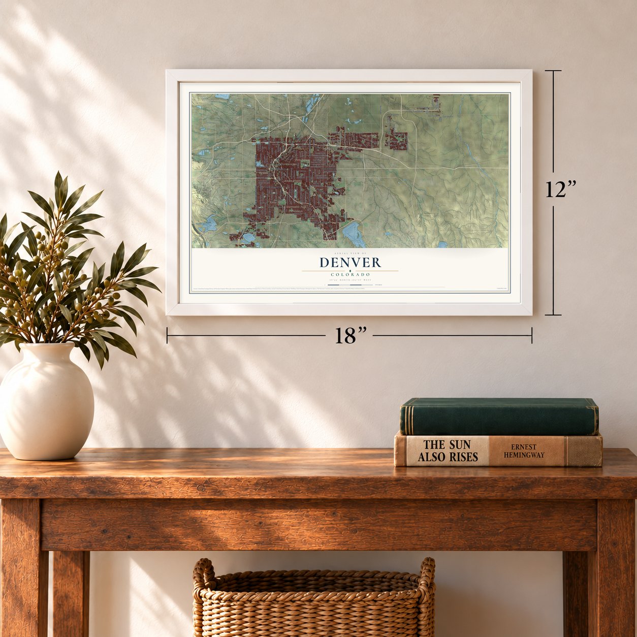
12" x 18" Archival Matte Print
A Map of Home. A Work of Art.
Explore Denver, Colorado from a whole new perspective. Created using aerial imagery and detailed geographic data, this map captures Denver building by building, with labeled streets, familiar landmarks, and shaded topographical relief that highlights the natural contours of the landscape.
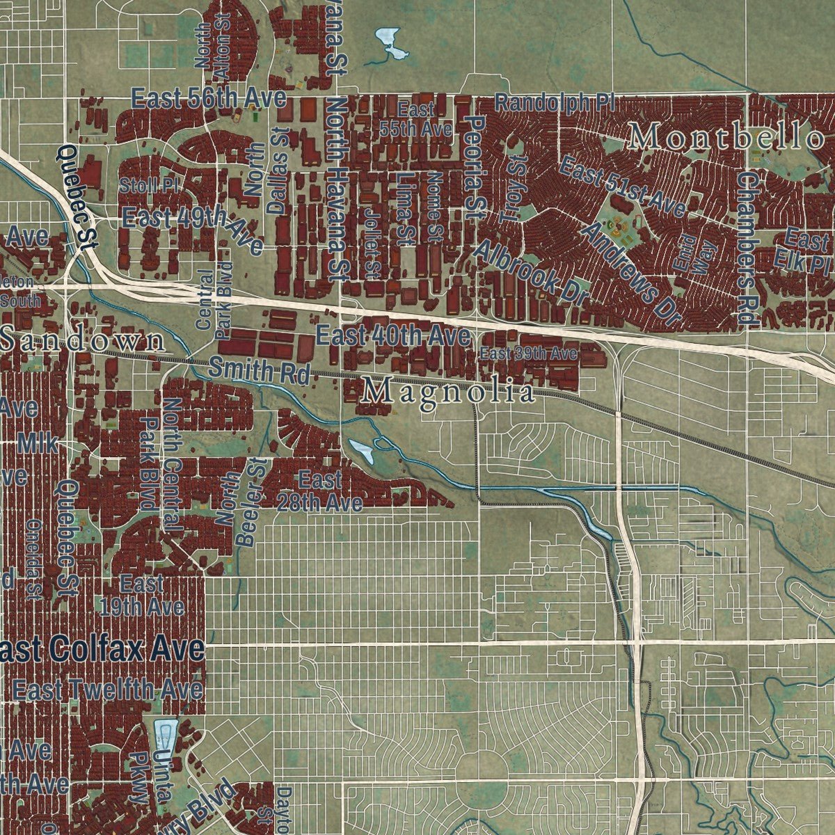
Combining modern data with the timeless character of a vintage atlas, this map is just as interesting up close as it is beautiful on the wall. Whether you grew up in Denver, spent memorable years there, or call it home today, this unique map is a great way to celebrate a place that means something to you. Zoom in on the preview to look for your street, and then order a print to put your memories on the wall.
Three ways to hang it
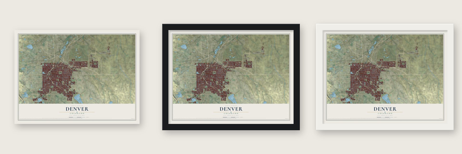
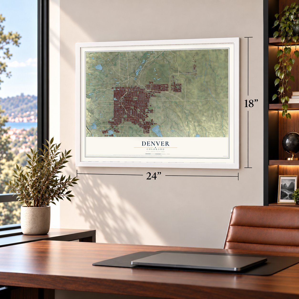
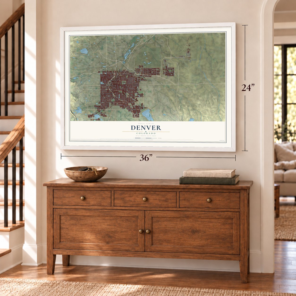
Unframed archival matte, a black wood frame or a white wood frame.
Up close
Geography Worth Displaying
This map was created using accurate cartographic data and authoritative geographic sources, including the U.S. Geological Survey and the Census Bureau. The map brings together terrain, waterways, roads, and building detail. The majority of the streets are labeled, houses are accurately depicted, and the topography is derived from government sources. Combining local data with carefully composed color and shading leads to this beautifully detailed Denver artwork for your wall.
Rather than simply showing street outlines, we’ve included as many of the street names as we could reasonably fit on the map while keeping their names legible. Zoom in on the high resolution preview to see exactly what’s on the map. We truly set out to create a statement piece for anyone who loves Denver. So whether it’s for you, or a gift for someone you love, we hope this map of Denver brings back fond memories.
Read the story behind this map of Denver, Colorado from 2026.

About Denver, Colorado
Denver is the capital of Colorado, a consolidated city and county of 715,522 people where Cherry Creek flows into the South Platte River. Cheyenne and Arapaho people camped across the river from this spot. A party of prospectors from Lawrence, Kansas, came looking for gold at the start of the Pike's Peak Gold Rush and laid out Montana City beside the South Platte that summer of 1858. It soon faded, and by the summer of 1859 its people had left for Auraria and St. Charles City.
On November 22, 1858, two Kansas land speculators, General William Larimer and Captain Jonathan Cox, set down cottonwood logs to claim the bluff above where the two streams meet. Larimer called the place Denver City after James W. Denver, governor of Kansas Territory, hoping the name would make it the Arapahoe County seat. He didn't know the governor had already resigned. Denver City was still incorporated on November 7, 1861, and it served as county seat until 1902. It dropped the word City in 1866, became the territorial capital on December 9, 1867, and won a referendum in 1881 to be the permanent state capital.
- 53 lots for a wagon lineIn May 1859 the people of Denver City gave 53 lots to the Leavenworth & Pike's Peak Express so the company would bring the region's first overland wagon route to town. The daily coaches carried passengers, mail, freight and gold, and their trail cut the trip west from twelve days to six. The Denver City post office opened on February 11, 1860.
- Its own railroad in 1870The first transcontinental railroad ran through Cheyenne City, 100 miles away, and Denver's business stood to suffer. Territorial governor John Evans joined David Moffat and Walter Cheesman to lead a drive for a connecting line, and they raised $300,000 within three days. When the money ran short, the three men took over the indebted railroad themselves. On June 24, 1870, the Denver Pacific reached the transcontinental line, and Denver grew into a regional supply center.
- The Mile High CityDenver's official elevation is exactly one mile, 5280 feet above sea level, which gave the city its nickname. The 105th meridian, the line the Mountain Time Zone is measured from, runs straight through Denver Union Station.
- United Way's start in 1887In 1887 Denver's religious leaders joined forces to raise money and coordinate the city's charities for its poor. Their effort was the forerunner of United Way, which grew into an international charity.
- City and County since 1902A bill for a state constitutional amendment giving Denver and other cities home rule passed the legislature in 1901, and Colorado voters approved it in 1902. Governor James Orman proclaimed the amendment in effect on December 1 of that year, which created the City and County of Denver and split it from Arapahoe and Adams counties.
Find your street
Names on the Denver map
Every name below is printed on this map. Look for your street, your school, the park where you played, or the pond down the road.
Places and landmarks11
- Downtown
- Five Points
- Montbello
- University Park
- Ruby Hill
- Alamo Placita
- Dry Gulch
- Holly Hills
- Magnolia
- Sandown
- Wellshire
Streets and roads211
- Federal Boulevard
- South Colorado Boulevard
- Colorado Boulevard
- Sheridan Boulevard
- South Sheridan Boulevard
- East Hampden Avenue
- Leetsdale Drive
- West Colfax Avenue
- East Colfax Avenue
- North Colorado Boulevard
- West Alameda Avenue
- East 56th Avenue
- East Sixth Avenue
- Quebec Street
- East Evans Avenue
- East 26th Avenue
- Steele Street
- West Evans Avenue
- West Dartmouth Avenue
- South Holly Street
- South Downing Street
- South Steele Street
- West 48th Avenue
- Montview Boulevard
- West Quincy Avenue
- Buckley Road
- West 52nd Avenue
- Larimer Street
- Santa Fe Drive
- Lowry Boulevard
Show all 211 streets
- South Lowell Boulevard
- Washington Street
- East Alameda Avenue
- East 49th Avenue
- Pecos Street
- Stout Street
- South University Boulevard
- West Yale Avenue
- Havana Street
- Lowell Boulevard
- Broadway
- Downing Street
- North Havana Street
- Albrook Drive
- Stuart Street
- West 17th Avenue
- East 48th Avenue
- East 46th Avenue
- East 40th Avenue
- East 32nd Avenue
- East 17th Avenue
- East 35th Avenue
- East 29th Avenue
- East 13th Avenue
- East 45th Avenue
- East Twelfth Avenue
- East Eighth Avenue
- Dahlia Street
- East 23rd Avenue
- Green Valley Ranch Boulevard
- Perry Street
- Tower Road
- Holly Street
- York Street
- High Street
- Smith Road
- East Cedar Avenue
- Franklin Street
- Cook Street
- Irving Street
- West Sixth Avenue
- Tennyson Street
- South Logan Street
- Elm Street
- Bryant Street
- Wolff Street
- Chambers Road
- East Maxwell Place
- Ivy Street
- South Patton Court
- South Yosemite Street
- South Clay Street
- East 75th Avenue
- Clermont Street
- Zuni Street
- South Gilpin Street
- Clay Street
- Fox Street
- South Clarkson Street
- Mlk
- Lipan Street
- West First Avenue
- South Tejon Street
- West 14th Avenue
- East Union Avenue
- Tejon Street
- Hudson Road
- Andrews Drive
- South Lipan Street
- East 78th Avenue
- Peoria Street
- Picadilly Road
- 20th Street
- East 71st Avenue
- 15th Street
- East 70th Avenue
- Arkins Court
- Dunkirk Street
- South Federal Boulevard
- South Wadsworth Boulevard
- South Havana Street
- Brighton Boulevard
- North Central Park Boulevard
- East Yale Avenue
- South Irving Street
- South Zuni Street
- Service Road
- South Dahlia Street
- East Iliff Avenue
- South Broadway
- Yuma Street
- East First Avenue
- Cherry Creek South Drive
- East 51st Avenue
- East 47th Avenue
- Happy Canyon Road
- North Dallas Street
- East 28th Avenue
- East Seventh Avenue
- South Wolff Street
- South Raleigh Street
- East 19th Avenue
- Grove Street
- South Yates Street
- East Cornell Avenue
- East 42nd Avenue
- South Hazel Court
- Osage Street
- South Adams Street
- West Ninth Avenue
- Peña Boulevard
- East Quincy Avenue
- North Beeler Street
- East 72nd Avenue
- East Elk Place
- South Tennyson Street
- Randolph Place
- Elati Street
- North Yampa Street
- West Grand Avenue
- Troy Street
- Lima Street
- Uinta Parkway
- Valley Head Street
- South Akron Street
- Shady Grove Street
- Bow Mar Drive
- East Mississippi Avenue
- County Highway 44
- Central Park Boulevard
- West Floyd Avenue
- Dayton Street
- East 16th Avenue
- South Quitman Street
- Oneida Street
- East 38th Avenue
- East 55th Avenue
- South Lincoln Street
- East 43rd Avenue
- South Pearl Street
- East Girard Avenue
- West 46th Avenue
- West Third Avenue
- West 49th Avenue
- Inca Street
- Walnut Street
- Auraria Parkway
- Jersey Street
- West Stanford Avenue
- Joliet Street
- North Orleans Street
- North Alton Street
- East 64th Avenue
- Jackson Gap Road
- Nome Street
- East Flora Place
- Enid Way
- Stoll Place
- Oneida Court
- South Quebec Street
- West Union Avenue
- East 52nd Avenue
- South Dayton Street
- South Monaco Parkway
- East 50th Avenue
- Quitman Street
- Forest Street
- East 39th Avenue
- Fillmore Street
- King Street
- South Cherokee Street
- Elizabeth Street
- South Monaco Street
- Stapleton Drive South
- East Floyd Avenue
- South Elizabeth Street
- West 21st Avenue
- South Huron Street
- East Plaza Circle
- West Grant Ranch Boulevard
- South Spruce Street
Names are listed as they appear on the printed map. Zoom into the product photos to find them.
The art of mapping a place
How This Map Was Made
Real places. Remarkable detail. Discover the layers that turn geographic data into a map of home.

The view from above
Aerial imagery reveals the character of the land: woodland, open fields, and the patterns of a place.

The shape of the land
Elevation data brings hills, valleys, and subtle changes in the landscape into view.

The details of home
Roads, waterways, and building footprints come together to make the map feel unmistakably local.

Geography becomes art
Considered color, shading, and typography bring the layers together in a map made for your wall.


Process illustrated with Mendon, Massachusetts. Aerial imagery: USDA NAIP. Terrain: USGS 3D Elevation Program. Map details and finished artwork: KNOWOL.
The Details
About This Print
Choose an archival matte print, or a black or white Ayous wood frame. The archival matte print is unframed.
Select your size and finish above to see the matching product image and price.
Materials & Craftsmanship
A contemporary map with the character of a classic atlas, printed on archival matte paper. Optional frames are made from Ayous wood.
Your printed map does not include the watermark shown in the full-map preview.
Shipping & Delivery
Free shipping within the United States. Every print is made to order in the USA.
Buying a gift? Add a note in your cart and we'll include it. We never put prices in the package.
Prints ship within 2 to 3 business days. Allow 7 to 10 days total from ordering for delivery. Timing may vary during holidays or periods of high order volume.
Read our shipping policy.
Returns and damaged prints
Each print is made to order. Change-of-mind refunds are not available after production.
If your print arrives damaged, misprinted or incorrect, contact support@knowol.com within 30 days of receiving it. Include your order number, photos and a description of the issue.
Read our full refund and replacement policy. For questions about your order, email support@knowol.com.
Find your town
Looking for another city?
Find a map of home in our Colorado collection, or any town in the country.
Nearby
Maps of towns near Denver
Know someone from one of these towns? Their map makes a great gift.
 Glendale
, Colorado
From $39.99See the map
 Four Square Mile
, Colorado
From $39.99See the map
 Derby
Derby, Colorado
From $39.99See the map
More maps nearby: North Washington, Holly Hills, Welby, Twin Lakes and Sherrelwood.