
Search for another town
Free U.S. delivery 7 to 10 days after you order
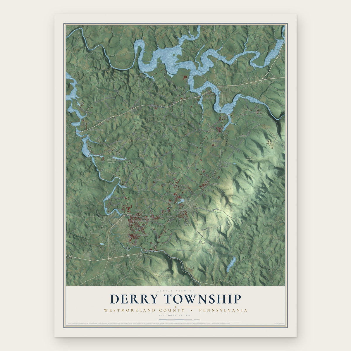
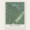
Derry Township, Westmoreland County, Pennsylvania Map Art
Building by building, with labeled streets and shaded relief.
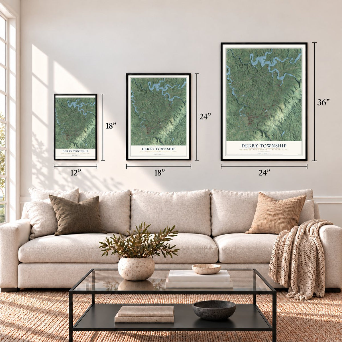
12" x 18" Archival Matte Print
A Map of Home. A Work of Art.
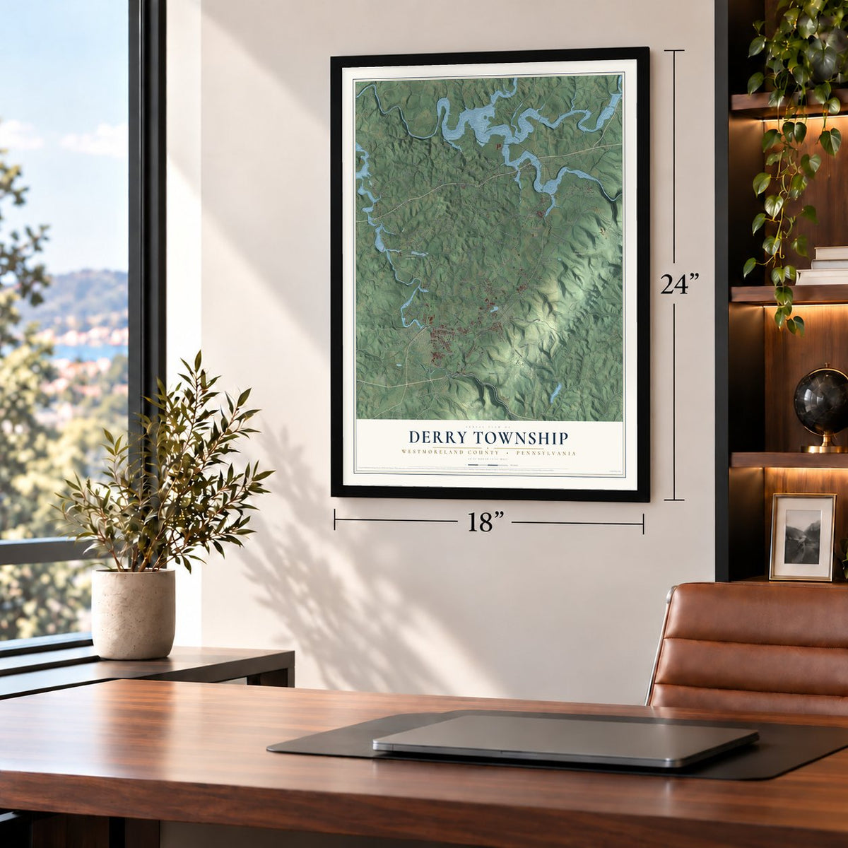
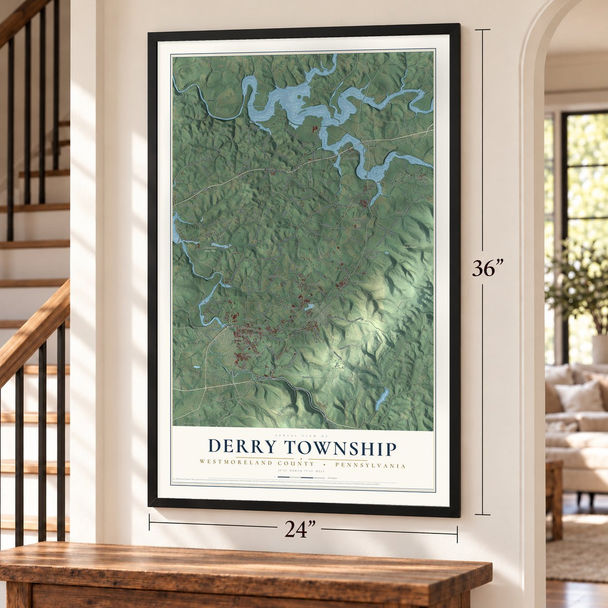
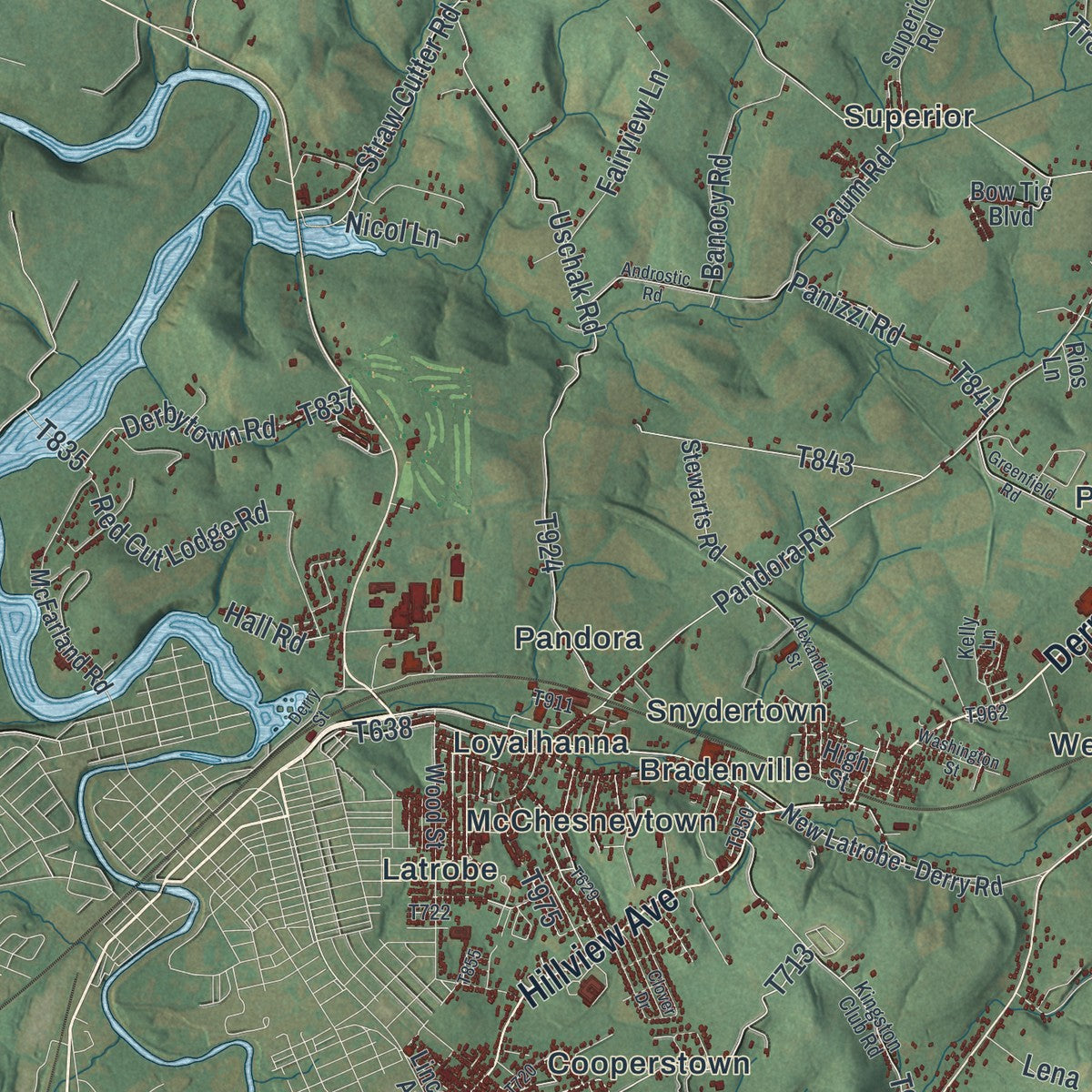
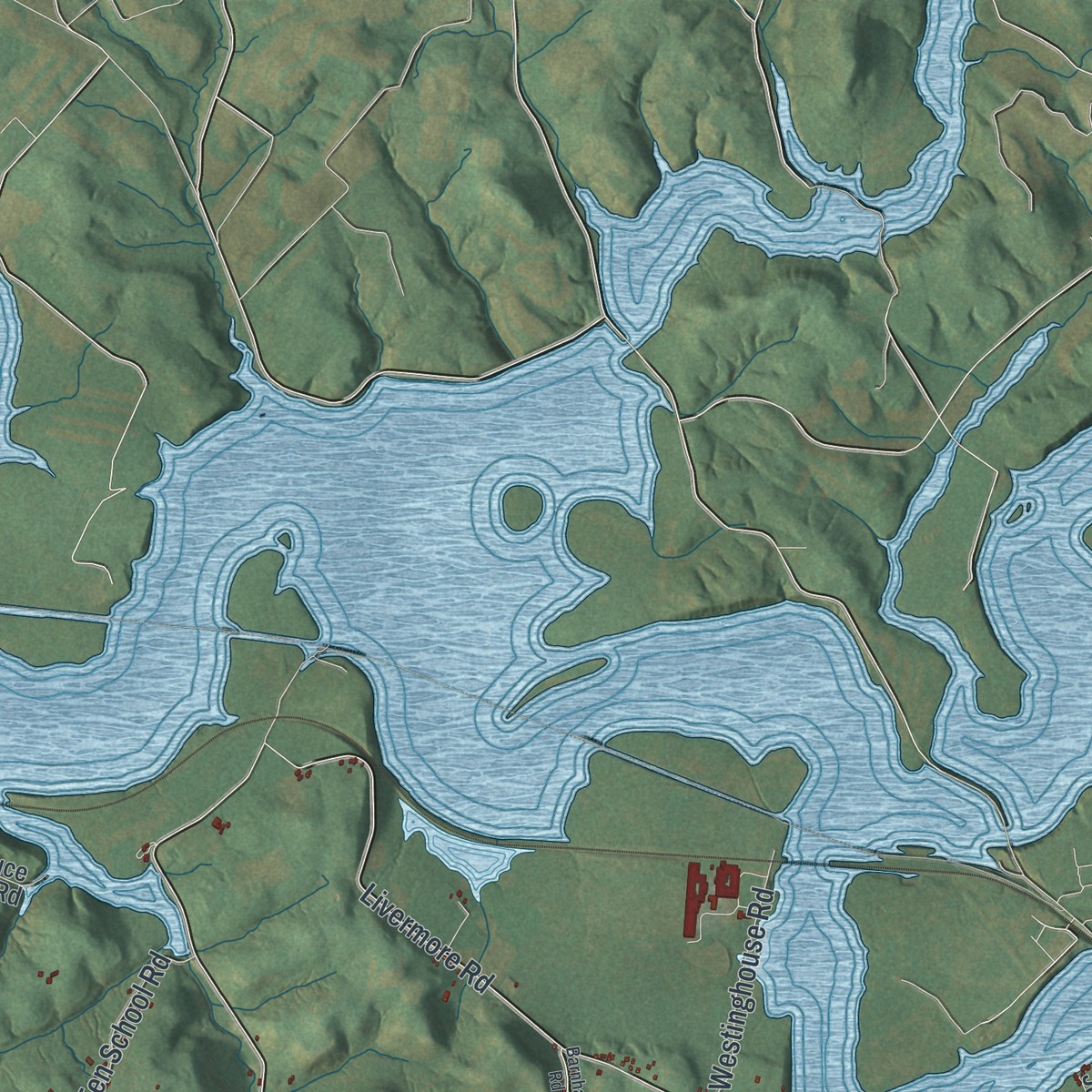
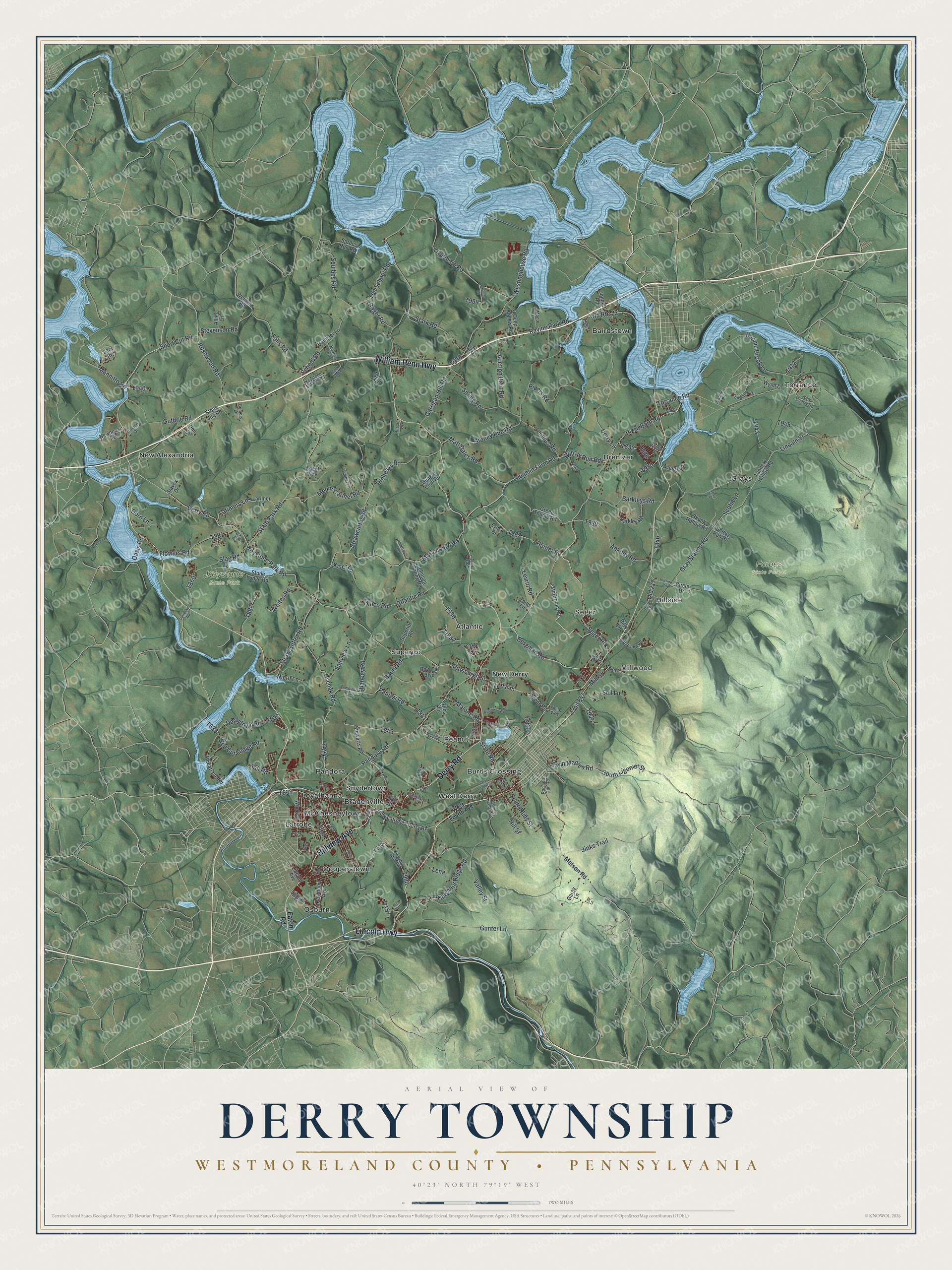
Explore Derry Township, Westmoreland County, Pennsylvania from a whole new perspective. Created using aerial imagery and detailed geographic data, this map captures Derry Township building by building, with labeled streets, familiar landmarks, and shaded topographical relief that highlights the natural contours of the landscape.
Combining modern data with the timeless character of a vintage atlas, this map is just as interesting up close as it is beautiful on the wall. Whether you grew up in Derry Township, spent memorable years there, or call it home today, this unique map is a great way to celebrate a place that means something to you. Zoom in on the preview to look for your street, and then order a print to put your memories on the wall.
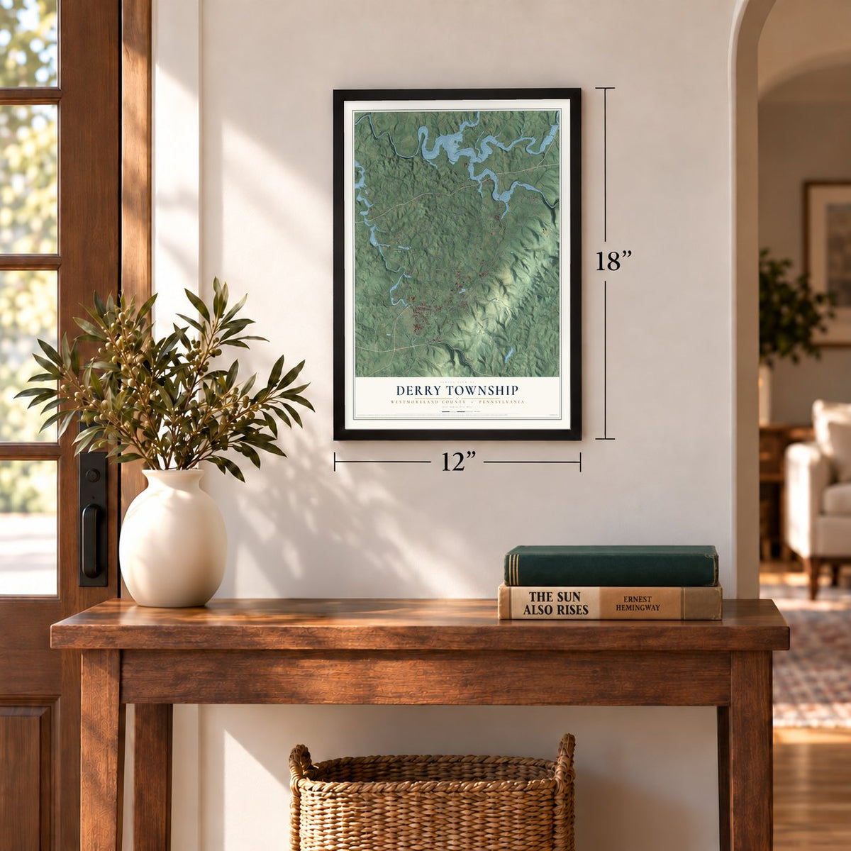
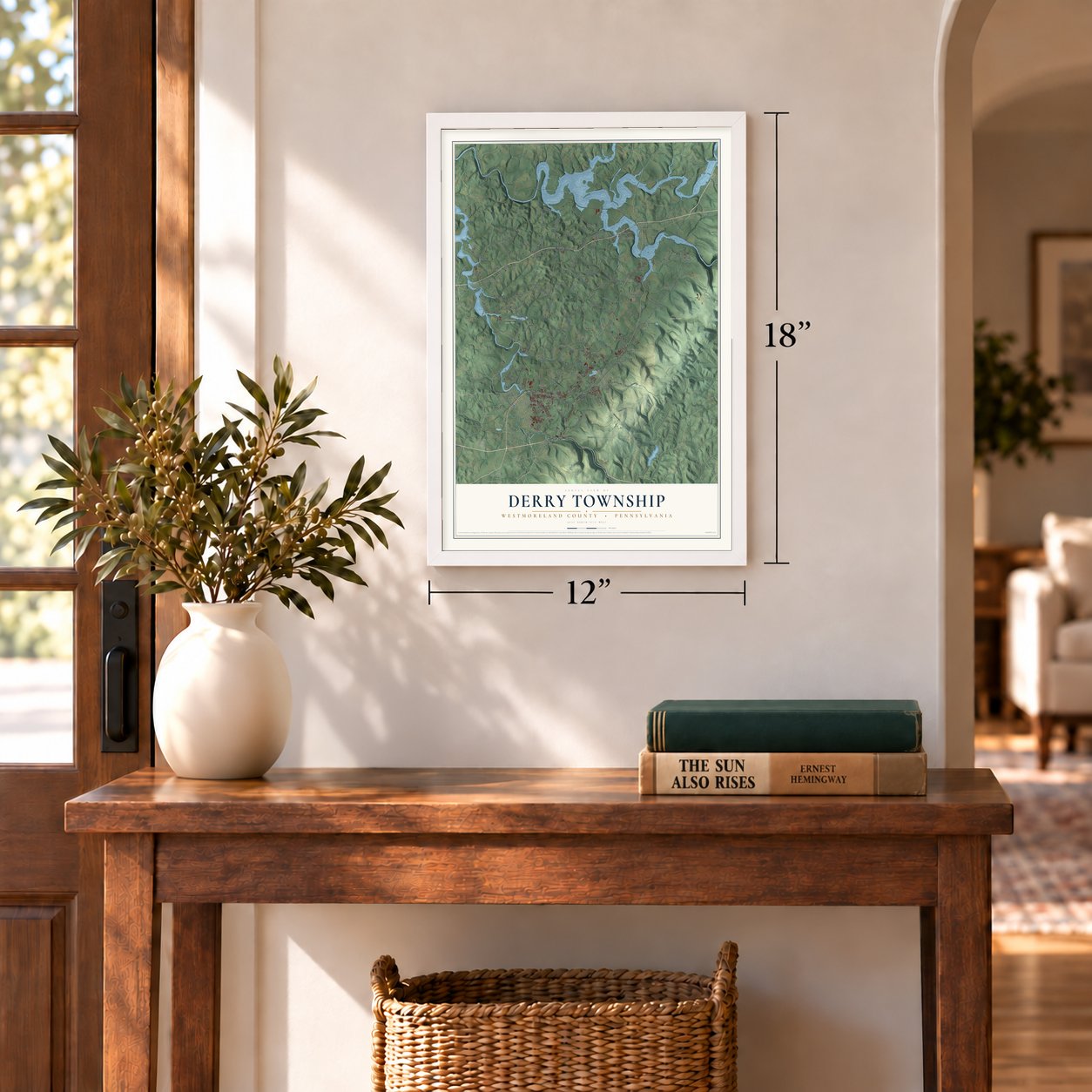
Three ways to hang it
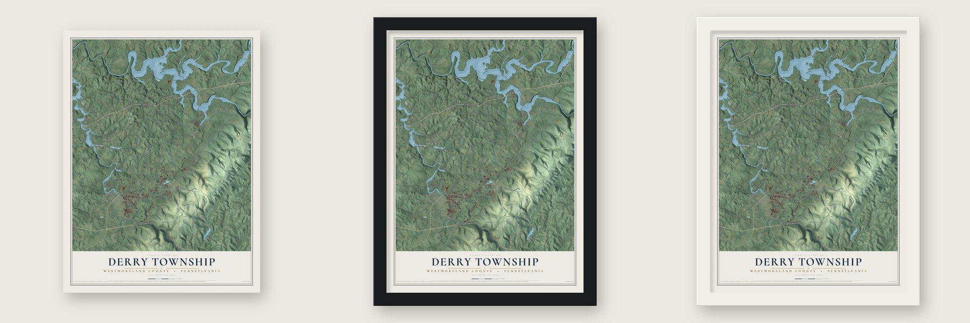
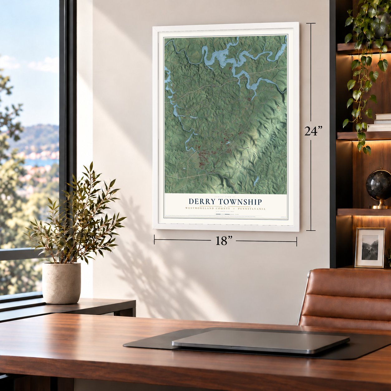
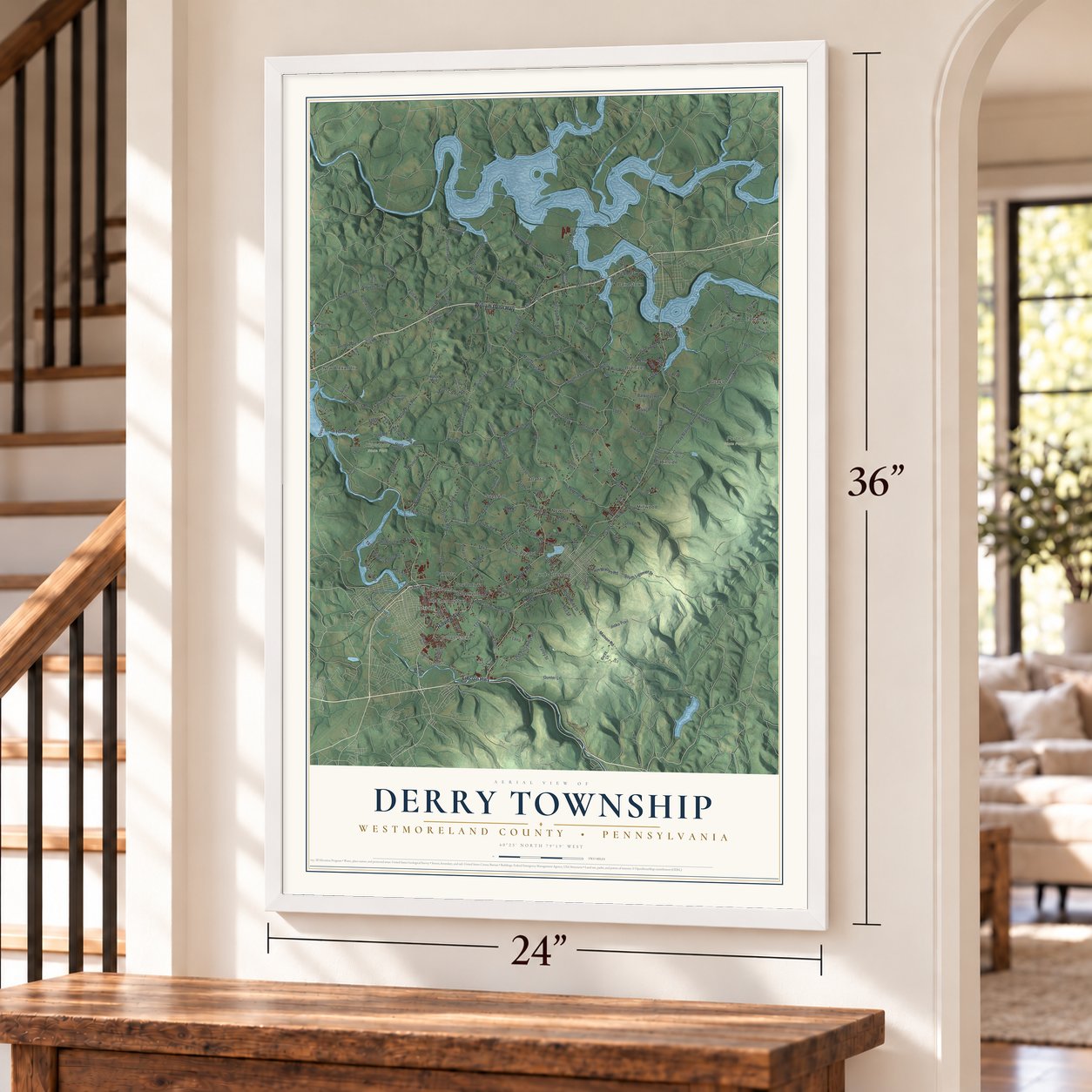
Unframed archival matte, a black wood frame or a white wood frame.
Up close
Geography Worth Displaying
This map was created using accurate cartographic data and authoritative geographic sources, including the U.S. Geological Survey and the Census Bureau. The map brings together terrain, waterways, roads, and building detail. The majority of the streets are labeled, houses are accurately depicted, and the topography is derived from government sources. Combining local data with carefully composed color and shading leads to this beautifully detailed Derry artwork for your wall.
Rather than simply showing street outlines, we’ve included as many of the street names as we could reasonably fit on the map while keeping their names legible. Zoom in on the high resolution preview to see exactly what’s on the map. We truly set out to create a statement piece for anyone who loves Derry. So whether it’s for you, or a gift for someone you love, we hope this map of Derry brings back fond memories.
Read the story behind this map of Derry Township, Westmoreland County, Pennsylvania from 2026.
Find your street
Names on the Derry map
Every name below is printed on this map. Look for your street, your school, the park where you played, or the pond down the road.
Places and landmarks24
- Forbes State Forest
- Keystone State Park
- Osburn
- Millwood
- Torrance
- West Derry
- Loyalhanna
- Superior
- Hillside
- New Alexandria
- Brenizer
- Grays
Show all 24 places
- Atlantic
- Bairdstown
- Bradenville
- Peanut
- Seger
- Latrobe
- Cooperstown
- Burds Crossing
- New Derry
- Snydertown
- McChesneytown
- Pandora
Streets and roads173
- Hillview Avenue
- William Penn Highway
- Lincoln Highway
- Derry Road
- Pizza Barn Road
- Seger Road
- Bergman Road
- Willow Run Road
- Mill Street
- Trail 847
- Gray Station Road
- Straw Cutter Road
- State Park Road
- School Road
- Pandora Road
- Hunter Road
- Mannitto Road
- Old Route 22
- Uschak Road
- Matson Road
- Slag Road
- Bonnie Brook Lane
- Twin Maples Road
- Strawcutter Road
- Livermore Road
- Barchesky Road
- Pittsburgh Street
- Keystone Park Road
- Stoney Run Road
- Derry Lane
Show all 173 streets
- Laughlin Farm Road
- Westinghouse Road
- Atlantic Road
- McCullough Road
- Chestnut Ridge Road
- Valley Street
- Squibbs Road
- Ten School Road
- South Ligonier Street
- Gunter Lane
- Rushwood Road
- Spring Road
- Red Cut Lodge Road
- Mount Carmel Road
- Falls Road
- South Ruby Street
- Matt Dales Road
- Flowers Road
- Guthrie Road
- Barkleys Road
- Pipers Road
- Lincoln Street
- Latimers Lane
- Stark Road
- Torrance Road
- Derbytown Road
- Auction Barn Road
- Old 217
- Stevenson Road
- Garrigan Hill Road
- Ankney Road
- Fairview Lane
- Banocy Road
- Panizzi Road
- Hill Street
- Phillips Road
- Dinco Road
- Jinks Trail
- Whites Road
- Scotia Lane
- Baum Road
- Ravine Park Road
- Malone Road
- Sell Lane
- Rager Road
- State Road
- Short Cut Road
- Dorn Lane
- Levrio Road
- Kiser Lane
- Nicol Lane
- Tr882
- Oasis Road
- Hall Road
- Lena
- Eaton Road
- McBroom Road
- Green Thumb Road
- Ash Street
- New Latrobe - Derry Road
- Tannery Hollow Road
- Reeds Road
- Circle Drive
- Weimers Road
- Stewarts Road
- Wood Street
- Superior Road
- Skunk Hollow Road
- Stone Lodge Road
- McFarland Road
- Raymond Avenue
- Carey Lane
- Spruce Run Road
- High Street
- Barkley Road
- Deep Hollow Road
- Larimer Lane
- Johnson Spring Road
- Bow Tie Boulevard
- Hollister Lane
- Gast Lane
- Stone Jug Road
- Newhouse Road
- Jonnett Road
- Wynn Drive
- Beagle Club Road
- Shirey Run Road
- Lentz Lane
- Lincoln Avenue
- Erma Drive
- Allied Lane
- Slavek Drive
- 21st Street
- Toms Lane
- Agent Way
- Lark Road
- Pmi Drive
- Rios Lane
- Bills Lane
- West Fourth Avenue
- South Valley Street
- Maple Street
- Rod and Gun Road
- Ligonier Street
- Kingston Club Road
- New Quarry Road
- Ridgeview Road
- Sloan Street
- Tall Timber Lane
- Longview Drive
- Keystone Estates Road
- Monte Lane
- Gaston Drive
- Boones Road
- Gomers Lane
- Hafer Road
- Cannery Road
- Ressler Drive
- Losier Drive
- Emily Way
- Ron Drive
- Kelly Lane
- Derry Street
- Hillside Road
- Greenfield Road
- Androstic Road
- Alexandria Street
- Washington Street
- Barnhart Road
- Coal Loader Drive
- Recreation Road
- Petrosky Road
- Clover Drive
- Chestnut Street
- Sportsman Road
- Sessi Drive
- Curry Hollow
- North Ruby Street
- Don Street
- Poole Drive
- Rice Drive
- Short Lane
- Top Lane
Names are listed as they appear on the printed map. Zoom into the product photos to find them.
About Derry Township, Westmoreland County, Pennsylvania
Derry Township is a township of 13,631 people in Westmoreland County, and it wraps all the way around the separate borough of Derry. Scots-Irish settlers named it after the city of Derry. The first settlers known here were veterans of Brigadier-General John Forbes's army, among them John Pomroy, who made his home near what is now New Derry, and James Wilson, who settled close by.
A few years later, the two men spent a winter back east and came home married. Pomroy's bride was Isabel Barr, and her father and two of her brothers followed them west, along with William Guthrie, Richard Wallace and other families. The township was formally incorporated in 1775, and during that decade settlers built Fort Barr and Fort Wallace for protection against Indian attacks. Bears, panthers and foxes were also a danger.
- The county's last raid, 1791Derry is said to be where Westmoreland County's last Indian attack took place, in 1791. Raiders struck the Mitchell family's farm about two miles east of Latrobe, along what became the Ligonier Valley railroad line, and carried off one of the Mitchell children. The boy spent three years living with the Indians, then made his way back to Derry.
- Bear CaveA maze of natural caverns called Bear Cave lies under the township. Local newspapers were writing about it by 1839, and explorers have since mapped some 8,500 feet of its passages.
- Coal and coke townsMining and coke making built many of the township's villages. Marcus W. Saxman owned and ran Superior Coal & Coke Company's Mines No. 1 and No. 2, the Latrobe-Connellsville Coal & Coke Company worked the Peanut and Ligonier No. 2 mines, and other operations included the Loyalhanna mines, the Pandora Shaft and the Atlantic mines at Snydertown. Every one of them has since closed.
- Villages moved for a damLivermore and Cokeville were once villages in Derry Township. Both were cleared away and their people moved for the Conemaugh Dam flood control project, and neither village exists today. In the next century the state added Torrance State Hospital in 1919 and Keystone State Park in 1945.
Keep exploring Pennsylvania
Derry Township is one of 3,725 Pennsylvania towns we've mapped. Every dot on the map is a print of its own.
The search covers every state, Pennsylvania first.
Near Derry Township
Order 2 or more town maps and save 10%. Shown in the size and finish you picked above, so they hang as a set.
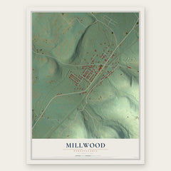
- Millwood 12" x 18" / Archival Matte Print $39.99
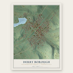
- Derry Borough 12" x 18" / Archival Matte Print $39.99
- Bradenville 12" x 18" / Archival Matte Print $39.99

More maps nearby: Blairsville, Latrobe, New Alexandria, Lawson Heights and Youngstown.
The art of mapping a place
How This Map Was Made
Real places. Remarkable detail. Discover the layers that turn geographic data into a map of home.

The view from above
Aerial imagery reveals the character of the land: woodland, open fields, and the patterns of a place.

The shape of the land
Elevation data brings hills, valleys, and subtle changes in the landscape into view.

The details of home
Roads, waterways, and building footprints come together to make the map feel unmistakably local.

Geography becomes art
Considered color, shading, and typography bring the layers together in a map made for your wall.


Process illustrated with Mendon, Massachusetts. Aerial imagery: USDA NAIP. Terrain: USGS 3D Elevation Program. Map details and finished artwork: KNOWOL.
The Details
About This Print
Choose an archival matte print, or a black or white Ayous wood frame. The archival matte print is unframed.
Select your size and finish above to see the matching product image and price.
Materials & Craftsmanship
A contemporary map with the character of a classic atlas, printed on archival matte paper. Optional frames are made from Ayous wood.
Your printed map does not include the watermark shown in the full-map preview.
Shipping & Delivery
Free shipping within the United States. Every print is made to order in the USA.
Buying a gift? Add a note in your cart and we'll include it. We never put prices in the package.
Prints ship within 2 to 3 business days. Allow 7 to 10 days total from ordering for delivery. Timing may vary during holidays or periods of high order volume.
Read our shipping policy.
Returns and damaged prints
Each print is made to order. Change-of-mind refunds are not available after production.
If your print arrives damaged, misprinted or incorrect, contact support@knowol.com within 30 days of receiving it. Include your order number, photos and a description of the issue.
Read our full refund and replacement policy. For questions about your order, email support@knowol.com.