
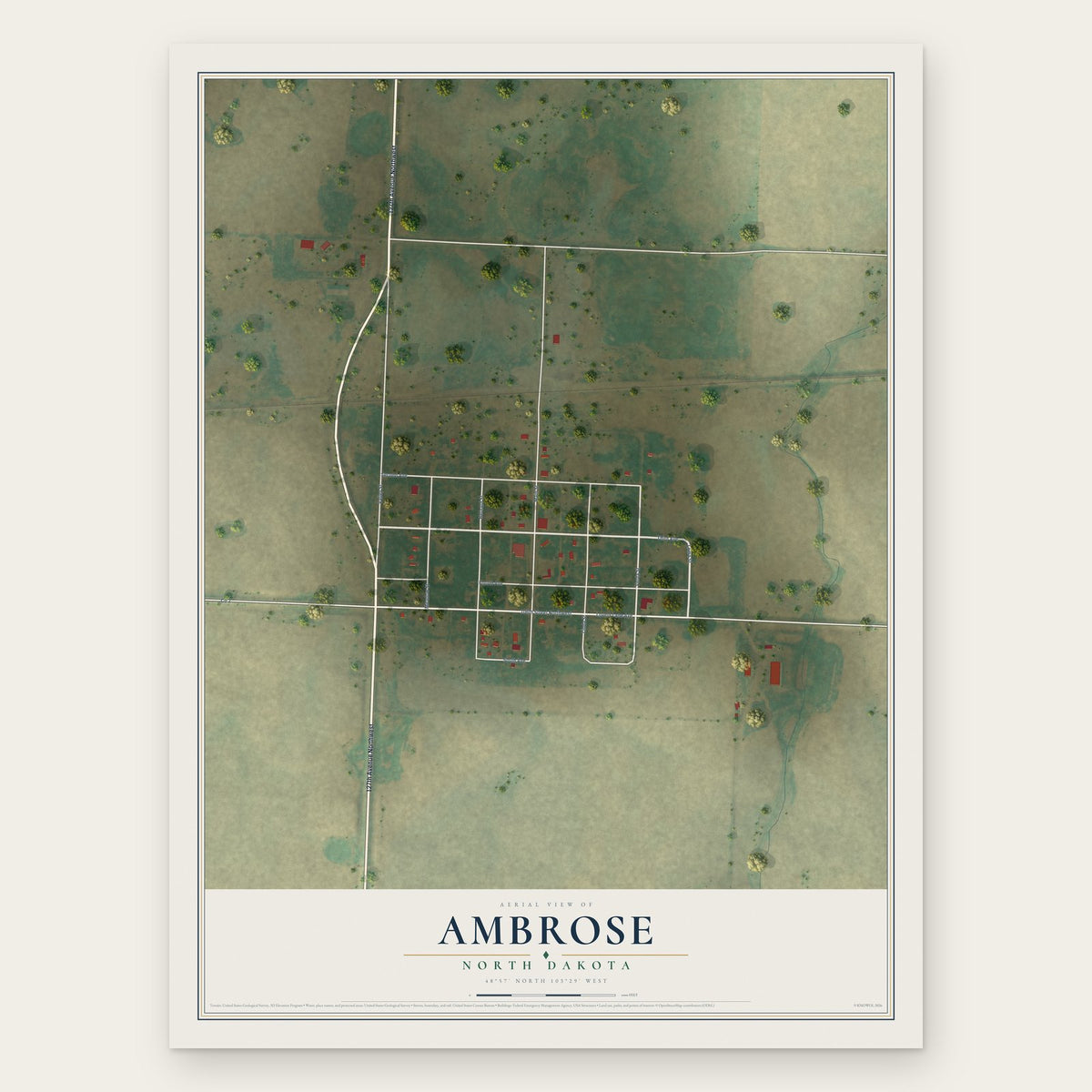


Search for another town





Free U.S. delivery 7 to 10 days after you order
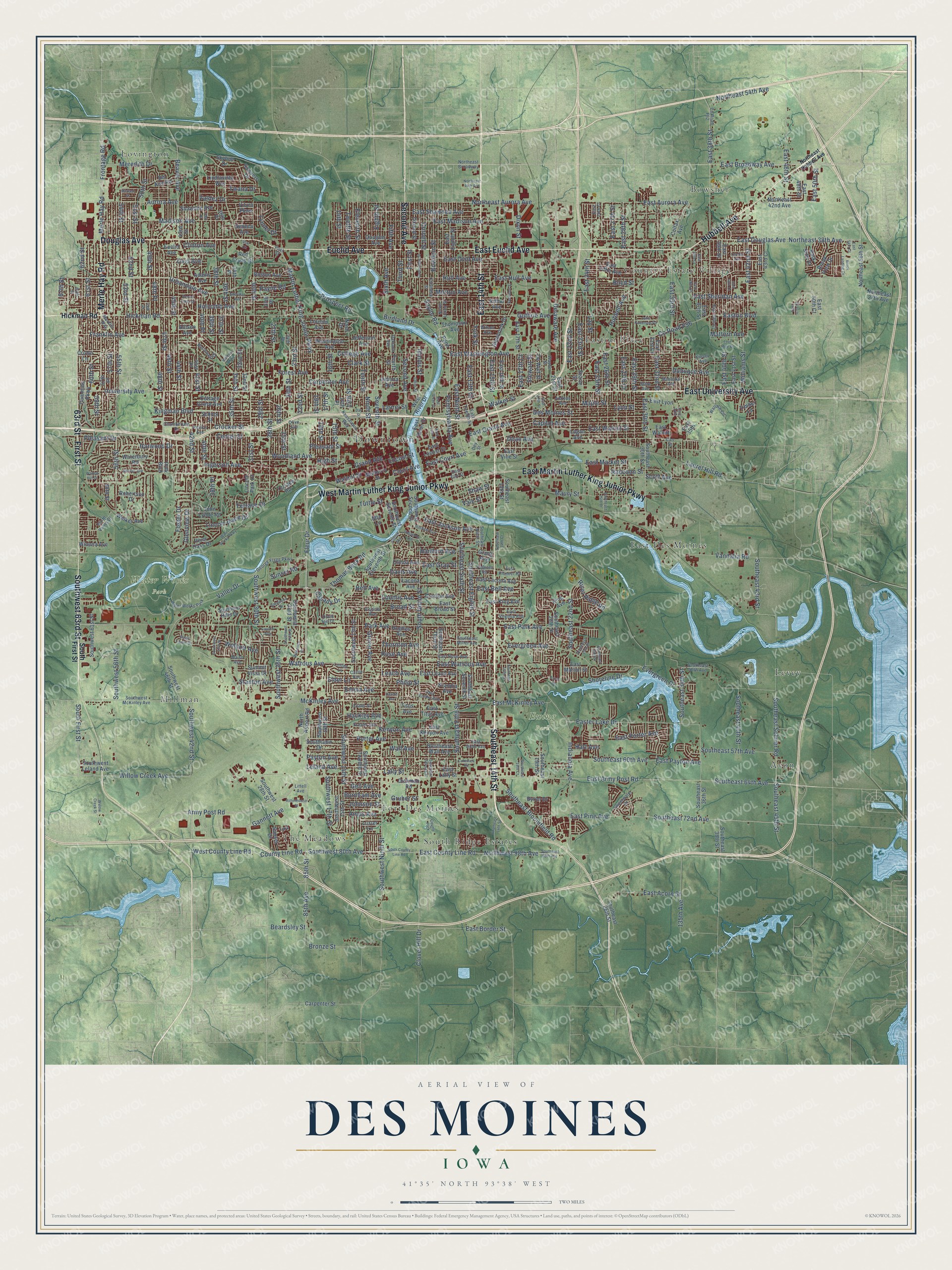
Des Moines, Iowa Map Art
Building by building, with labeled streets and shaded relief.
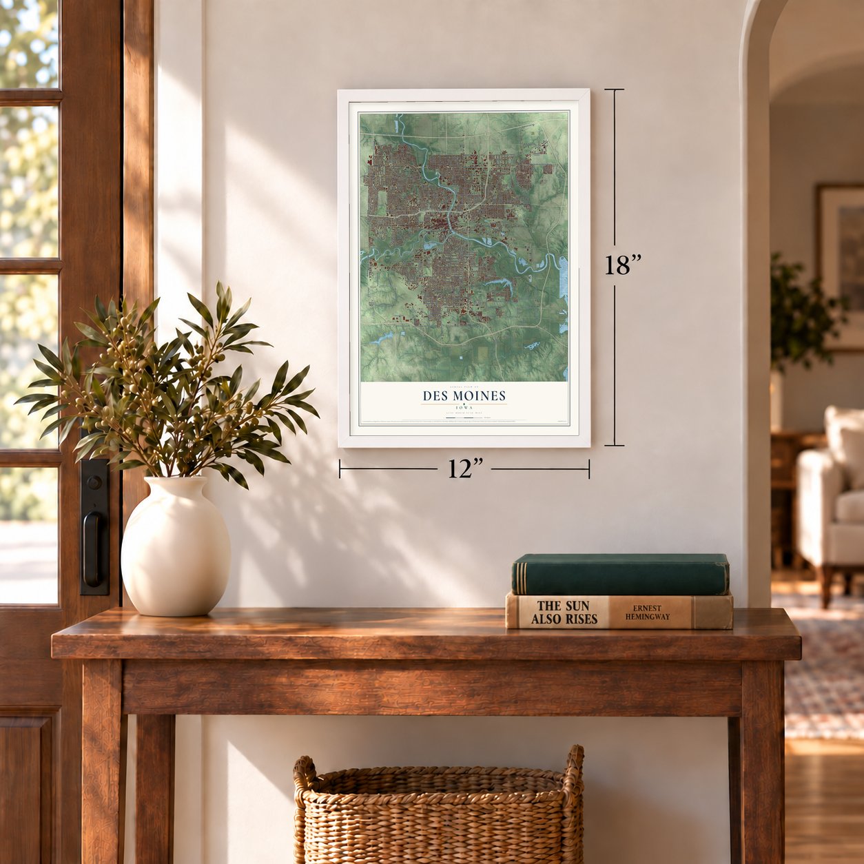
12" x 18" Archival Matte Print
A Map of Home. A Work of Art.
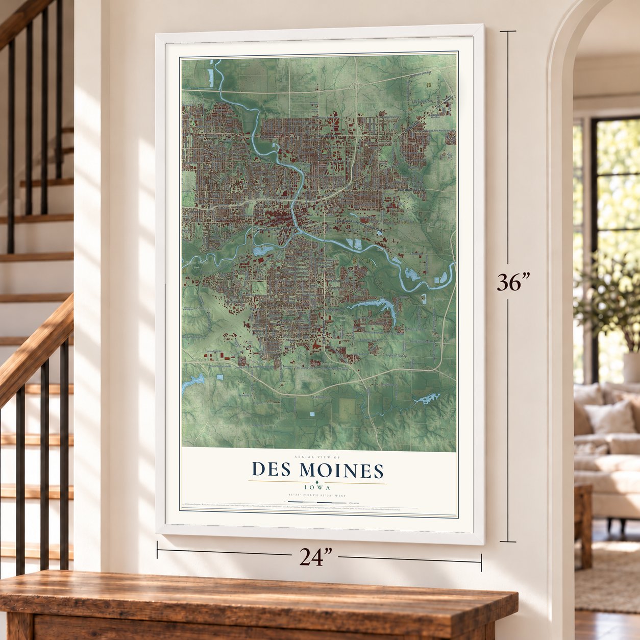
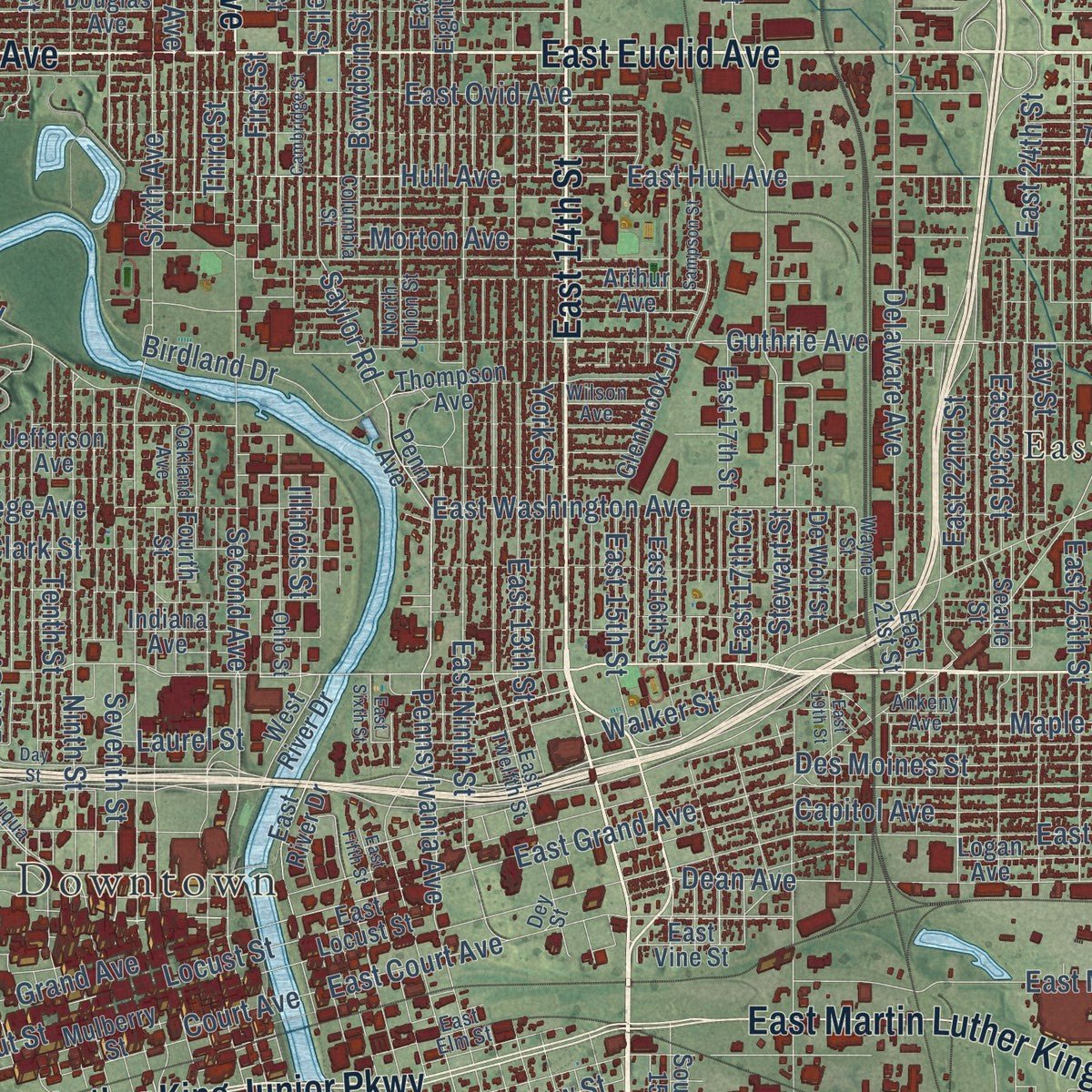
Explore Des Moines, Iowa from a whole new perspective. Created using aerial imagery and detailed geographic data, this map captures Des Moines building by building, with labeled streets, familiar landmarks, and shaded topographical relief that highlights the natural contours of the landscape.
Combining modern data with the timeless character of a vintage atlas, this map is just as interesting up close as it is beautiful on the wall. Whether you grew up in Des Moines, spent memorable years there, or call it home today, this unique map is a great way to celebrate a place that means something to you. Zoom in on the preview to look for your street, and then order a print to put your memories on the wall.
Three ways to hang it
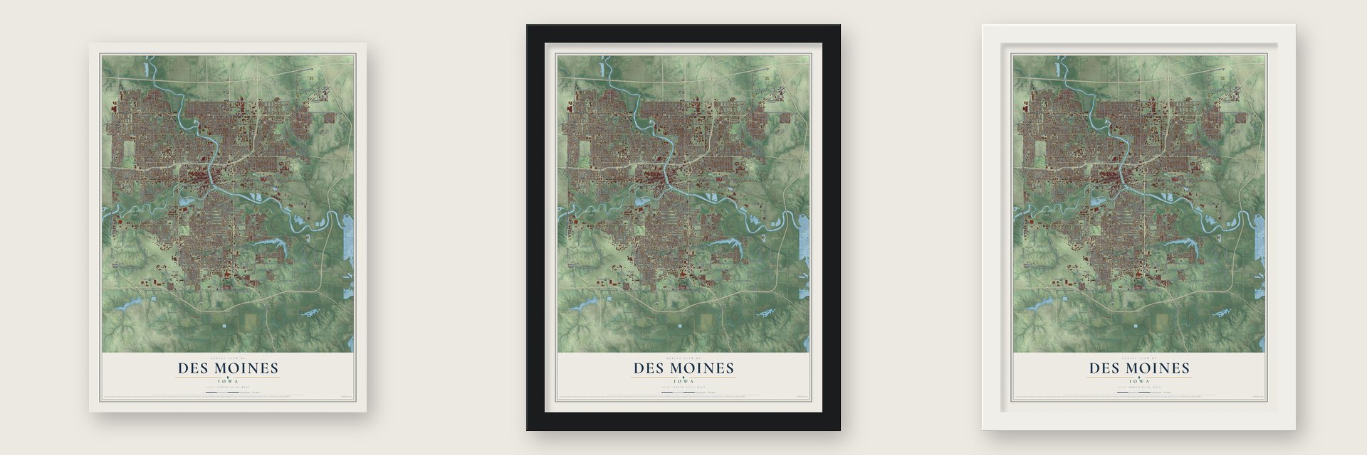
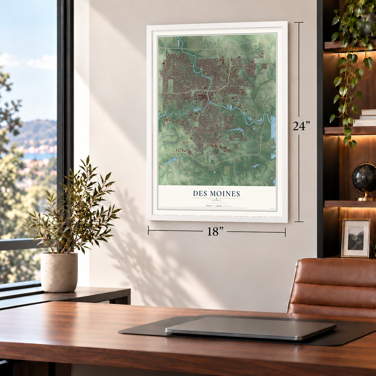
Unframed archival matte, a black wood frame or a white wood frame.
Up close
Geography Worth Displaying
This map was created using accurate cartographic data and authoritative geographic sources, including the U.S. Geological Survey and the Census Bureau. The map brings together terrain, waterways, roads, and building detail. The majority of the streets are labeled, houses are accurately depicted, and the topography is derived from government sources. Combining local data with carefully composed color and shading leads to this beautifully detailed Des Moines artwork for your wall.
Rather than simply showing street outlines, we’ve included as many of the street names as we could reasonably fit on the map while keeping their names legible. Zoom in on the high resolution preview to see exactly what’s on the map. We truly set out to create a statement piece for anyone who loves Des Moines. So whether it’s for you, or a gift for someone you love, we hope this map of Des Moines brings back fond memories.
Read the story behind this map of Des Moines, Iowa from 2026.

Find your street
Names on the Des Moines map
Every name below is printed on this map. Look for your street, your school, the park where you played, or the pond down the road.
Places and landmarks15
- Downtown
- Ewing Park
- Water Works Park
- Avon
- Bowsher
- Country Estate Village
- East Des Moines
- Easton Place
- Fort Des Moines
- Levey
- Lovington
- Millman
Show all 15 places
- South Ridge Estates
- The Meadows
- County Park
Streets and roads496
- Southeast 14th Street
- East 14th Street
- East University Avenue
- Hubbell Avenue
- Douglas Avenue
- West Martin Luther King Junior Parkway
- East Euclid Avenue
- East Martin Luther King Junior Parkway
- Euclid Avenue
- 63rd Street
- Southwest 63rd Street
- First Street
- Merle Hay Road
- Second Avenue
- Maple Street
- Indianola Avenue
- East Broadway Avenue
- Harwood Drive
- Saylor Road
- Dixon Street
- 18th Street
- Watrous Avenue
- Stewart Street
- Grand Avenue
- Lyon Street
- Thomas Beck Road
- Pennsylvania Avenue
- 39th Street
- East 15th Street
- Gannett Avenue
Show all 496 streets
- Fleur Drive
- University Avenue
- Southeast Fifth Street
- East Hull Avenue
- Sixth Avenue
- Hull Avenue
- East Grand Avenue
- 44th Street
- East Court Avenue
- Porter Avenue
- Evergreen Drive
- Hickman Road
- Ingersoll Avenue
- Evergreen Avenue
- East Washington Avenue
- East Watrous Avenue
- Southeast Sixth Street
- 16th Street
- Pleasant Street
- East Porter Avenue
- Frontage Road
- 54th Street
- Southeast 34th Street
- East 27th Court
- Southwest Ninth Street
- Army Post Road
- Park Avenue
- East Army Post Road
- Urbandale Avenue
- East Douglas Avenue
- Northwest 98th Avenue
- Guthrie Avenue
- 56th Street
- Forest Avenue
- East 38th Street
- Hartford Avenue
- Franklin Avenue
- Madison Avenue
- Dean Avenue
- Scott Avenue
- South Union Street
- Woodland Avenue
- Kingman Boulevard
- East 29th Street
- Des Moines Street
- Easton Boulevard
- Southwest 14th Street
- Aurora Avenue
- McKinley Avenue
- East Walnut Street
- East Sheridan Avenue
- Beaver Avenue
- 42nd Street
- College Avenue
- Center Street
- East Pine Avenue
- Southeast 72nd Avenue
- Ninth Street
- 38th Street
- 46th Street
- Southeast Eighth Street
- Clark Street
- County Line Road
- East 25th Street
- East Ovid Avenue
- Eighth Street
- East Madison Avenue
- Seventh Street
- East Ninth Street
- Maury Street
- Southwest 42nd Street
- Martin Luther King Junior Parkway
- Fifth Avenue
- Third Street
- 30th Street
- Holcomb Avenue
- 48th Street
- 45th Street
- East 13th Street
- 50th Street
- East 28th Street
- 37th Street
- 57th Street
- East Aurora Avenue
- 40th Street
- Delaware Avenue
- Thornton Avenue
- 34th Street
- Williams Street
- Bell Avenue
- East 24th Street
- 36th Street
- East Park Avenue
- Southwest 80th Avenue
- West County Line Road
- Twelfth Street
- East 27th Street
- 47th Street
- Tenth Street
- 59th Street
- 31st Street
- East 33rd Street
- 62nd Street
- East Payton Avenue
- County Road F56
- East 23rd Street
- East County Line Road
- Leland Avenue
- Southeast 64th Avenue
- 51st Street
- East 30th Street
- Capitol Avenue
- Valley Drive
- Southwest 56th Street
- Southeast Schrier Road
- Northeast Aurora Avenue
- Southeast 45th Street
- 24th Street
- 27th Street
- Ovid Avenue
- Eleventh Street
- 49th Street
- Northeast 38th Avenue
- 53rd Street
- East 42nd Street
- 35th Street
- East 32nd Street
- Willow Creek Avenue
- Southeast 60th Avenue
- Carpenter Avenue
- 61st Street
- 41st Street
- East 26th Street
- 28th Street
- Crocker Street
- 19th Street
- Easter Lake Drive
- High Street
- East McKinley Avenue
- 33rd Street
- East Shawnee Avenue
- Morton Avenue
- 55th Street
- Southeast 22nd Street
- York Street
- East 40th Street
- 15th Street
- 13th Street
- 23rd Street
- 14th Street
- Boyd Street
- 52nd Street
- Vandalia Road
- 29th Street
- East Market Street
- East 22nd Street
- Kenyon Avenue
- Clover Hill Drive
- Payton Avenue
- Dubuque Avenue
- 60th Street
- Twana Drive
- East Bell Avenue
- Beardsley Street
- Rose Avenue
- Emma Avenue
- East 46th Street
- Southeast Bloomfield Road
- 17th Street
- 26th Street
- Mattern Avenue
- Walker Street
- Wolcott Avenue
- 22nd Street
- Prospect Road
- Cornell Street
- Bowdoin Street
- Locust Street
- 135th Avenue
- Raccoon Street
- Clinton Avenue
- 85th Avenue
- 85th Street
- Northeast 54th Avenue
- Lay Street
- 25th Street
- 48th Place
- Foster Drive
- Valdez Drive
- Walnut Street
- Burnham Avenue
- Hackley Avenue
- Southwest 17th Street
- Bronze Street
- 40th Place
- Meredith Drive
- Southeast 57th Avenue
- East 50th Street
- Loomis Avenue
- Broad Street
- Southwest 30th Street
- Stanton Avenue
- South First Street
- East Acorn Street
- Lincoln Place Drive
- Davis Avenue
- Shaw Street
- Southeast 40th Street
- Shoreline Drive
- Birdland Drive
- Illinois Street
- Southwest 26th Street
- East Jackson Avenue
- Southeast 43rd Street
- Elder Lane
- Glover Avenue
- Amos Avenue
- Tuttle Street
- Wall Avenue
- Hart Avenue
- Johnson Street
- Laurel Hill Road
- Laurel Street
- Sunset Road
- Leach Avenue
- Lynner Drive
- Geil Avenue
- East 17th Court
- East Border Street
- River Ridge Road
- Terrace Drive
- Payne Road
- Glenview Drive
- Pleasant Drive
- Philip Street
- Casady Drive
- East Gray Street
- 38th Place
- Lally Street
- Vale Street
- Court Avenue
- Gruber Street
- 67th Street
- Southwest Seventh Street
- Thompson Avenue
- Brook View Drive
- De Wolf Street
- Lindlavista Way
- Southeast Wall Avenue
- East Locust Street
- East Tiffin Avenue
- Southwest Twelfth Street
- Arthur Avenue
- Southeast 36th Street
- East 16th Street
- Southeast Third Street
- Polk Boulevard
- Southwest Second Street
- Fourth Street
- Southwest 13th Street
- Southeast Seventh Street
- Cummins Parkway
- Washington Avenue
- Southwest Eleventh Street
- 43rd Street
- Shawnee Avenue
- East 17th Street
- Cottage Grove Avenue
- Northeast 42nd Avenue
- Jefferson Avenue
- Southeast 30th Street
- School Street
- Seneca Avenue
- East 41st Street
- East Kenyon Avenue
- East Eighth Street
- Logan Avenue
- East 21st Street
- East 37th Street
- Oxford Street
- Bel Aire Road
- Creston Avenue
- Southwest 28th Street
- Southeast 19th Street
- Adams Avenue
- East 39th Street
- Lincoln Avenue
- East Leach Avenue
- East King Avenue
- Penn Avenue
- Boston Avenue
- East Marion Street
- Southwest 15th Street
- Allison Avenue
- Southwest 18th Street
- East Lacona Avenue
- Southwest 46th Street
- Waterbury Road
- 32nd Street
- Southwest Leland Avenue
- East Titus Avenue
- Searle Street
- Southwest 61st Street
- Southeast 26th Street
- Southeast 15th Street
- 58th Street
- Colfax Avenue
- North Airport Road
- East Broad Street
- Southeast 38th Street
- Welker Avenue
- Indiana Avenue
- Mulberry Street
- Southeast 20th Street
- John Lynde Road
- Glenbrook Drive
- Southlawn Drive
- Southwest 23rd Street
- 57th Place
- Skyline Drive
- Northeast 56th Street
- Titus Avenue
- Southern Hills Drive
- Terrace Road
- Lincoln Park Drive
- Carpenter Street
- River Oaks Drive
- East 43rd Court
- East Lally Street
- East 48th Street
- Hughes Avenue
- King Avenue
- Red Cross Drive
- Scandia Avenue
- East Vine Street
- Northeast 27th Avenue
- Sawyers Drive
- West River Drive
- Winona Avenue
- Summit Vista Drive
- Dickman Road
- Robertson Drive
- East Walnut
- Timber Lane
- Olinda Avenue
- East 50th Court
- 41st Place
- Byron Drive
- Vilura Parkway
- 14th Place
- Lacona Avenue
- East 31st Court
- East Lyon
- Sunset Drive
- East River Drive
- Crown Lane
- Luster Lane
- Gratis Avenue
- 27th Place
- Park Side Drive
- Nash Drive
- East 35th
- Mta Lane
- 36th Place
- 34th Place
- Northeast Broadway
- East Twelfth Street
- East Diehl Avenue
- Keosauqua Way
- North Union Street
- Southwest McKinley Avenue
- East Rose Avenue
- County Road F52
- Kinsey Avenue
- Southeast Ninth Street
- Columbia Street
- Rollins Avenue
- Virginia Avenue
- Mahaska Avenue
- State Avenue
- Pioneer Road
- Northwest Drive
- East Virginia Avenue
- East 38th Court
- East Emma Avenue
- Frazier Avenue
- Ohio Street
- East Elm Street
- George Flagg Parkway
- Southeast Miller Avenue
- Druid Hill Drive
- Wallace Circle
- Maish Avenue
- Carrie Avenue
- Evans Street
- Chamberlain Drive
- Olive Avenue
- Wilson Avenue
- Sweetwater Drive
- North Valley Drive
- Southeast 40th Avenue
- East 24th Court
- East Pioneer Road
- Carr Street
- Wayne Street
- Merklin Way
- 64th Street
- Park Lawn Drive
- Oakland Avenue
- Ankeny Avenue
- Linden Lane
- Lark
- 24th Drive
- Littell Avenue
- Post Street
- Dey Street
- Northeast Hubbell Avenue
- Clifton Avenue
- Indianola Road
- Southeast 80th Avenue
- Sheridan Avenue
- North County Line Road
- Southeast Second Street
- East 36th Street
- East 36th Court
- Cambridge Street
- Caulder Avenue
- East 40th Court
- East Sixth Street
- Rittenhouse Street
- Southeast 25th Street
- Day Street
- Southeast 18th Court
- East 19th Street
- Southeast 23rd Street
- Herold Avenue
- Leyden Avenue
- Southeast 25th Court
- Sampson Street
- Merced Street
- John Patterson Road
- Southeast 15th Court
- Southeast 14th Court
- Beaver Crest Drive
- East Fifth Street
- Cummins Road
- Southwest 37th Street
- Water Works Parkway
- 49th Place
- Wakonda Drive
- Dunham Avenue
- Shriver Avenue
- Vfw Circle
- Four Mile Drive
- Northeast 44th Avenue
- Glenwood Drive
- Brook Landing Court
- Southwest 24th Street
- 39th Place
- East 34th
- East 54th Court
- Willow Creek Street
- Witmer Parkway
- Walnut Hill Drive
- Ascot Drive
- East 47th Street
Names are listed as they appear on the printed map. Zoom into the product photos to find them.
About Des Moines, Iowa
Des Moines is Iowa's capital and most populous city, situated where the Des Moines and Raccoon rivers meet. The community traces its origins to a military fort established in 1843 and adopted its shortened name in 1857. Today, the city is a major center for insurance, financial services, and publishing.
- Ancient Human PresenceArchaeological evidence indicates that people have gathered near the river junction for at least 7,000 years.
- Fort OriginsCaptain James Allen oversaw construction of Fort Des Moines at the river confluence in May 1843.
- Capital Since 1857In 1857, Fort Des Moines became Des Moines and was designated Iowa's second state capital.
- Coal Mining EraBy 1893, the region contained 23 coal mines, though local coal resources were largely depleted by 1908.
- 2020 PopulationThe 2020 census counted 214,133 residents in Des Moines.
Keep exploring Iowa
Des Moines is one of 1,038 Iowa towns we've mapped. Every dot on the map is a print of its own.
The search covers every state, Iowa first.
Near Des Moines
Order 2 or more town maps and save 10%. Shown in the size and finish you picked above, so they hang as a set.
- Sherman Hill 12" x 18" / Archival Matte Print $39.99
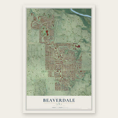
- Beaverdale 12" x 18" / Archival Matte Print $39.99
- Pleasant Hill 12" x 18" / Archival Matte Print $39.99

More maps nearby: Windsor Heights, Carlisle, Saylorville, Norwalk and Altoona.
The art of mapping a place
How This Map Was Made
Real places. Remarkable detail. Discover the layers that turn geographic data into a map of home.

The view from above
Aerial imagery reveals the character of the land: woodland, open fields, and the patterns of a place.

The shape of the land
Elevation data brings hills, valleys, and subtle changes in the landscape into view.

The details of home
Roads, waterways, and building footprints come together to make the map feel unmistakably local.

Geography becomes art
Considered color, shading, and typography bring the layers together in a map made for your wall.


Process illustrated with Mendon, Massachusetts. Aerial imagery: USDA NAIP. Terrain: USGS 3D Elevation Program. Map details and finished artwork: KNOWOL.
The Details
About This Print
Choose an archival matte print, or a black or white Ayous wood frame. The archival matte print is unframed.
Select your size and finish above to see the matching product image and price.
Materials & Craftsmanship
A contemporary map with the character of a classic atlas, printed on archival matte paper. Optional frames are made from Ayous wood.
Your printed map does not include the watermark shown in the full-map preview.
Shipping & Delivery
Free shipping within the United States. Every print is made to order in the USA.
Buying a gift? Add a note in your cart and we'll include it. We never put prices in the package.
Prints ship within 2 to 3 business days. Allow 7 to 10 days total from ordering for delivery. Timing may vary during holidays or periods of high order volume.
Read our shipping policy.
Returns and damaged prints
Each print is made to order. Change-of-mind refunds are not available after production.
If your print arrives damaged, misprinted or incorrect, contact support@knowol.com within 30 days of receiving it. Include your order number, photos and a description of the issue.
Read our full refund and replacement policy. For questions about your order, email support@knowol.com.