
Search for another town

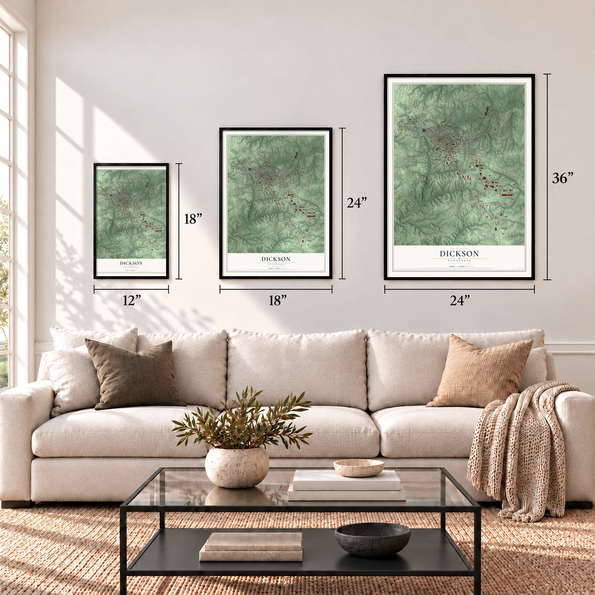


Free U.S. delivery 7 to 10 days after you order
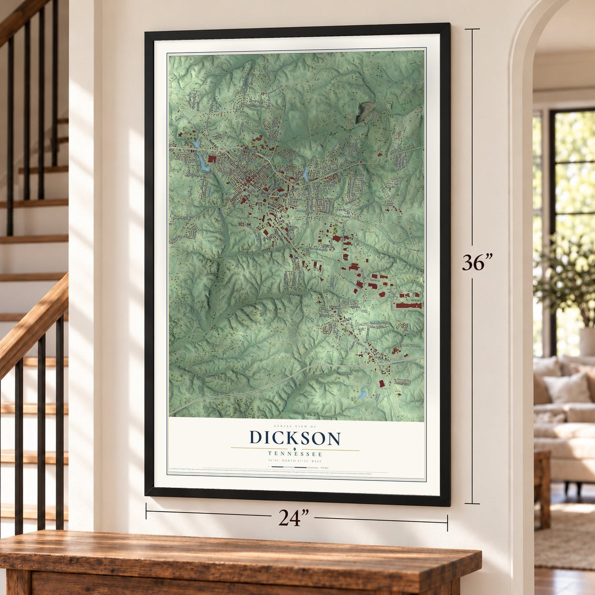
Dickson, Tennessee Map Art
A new map of Dickson, Tennessee, made in 2026 and printed to order on thick archival matte paper.
12" x 18" Archival Matte Print
A Map of Home. A Work of Art.
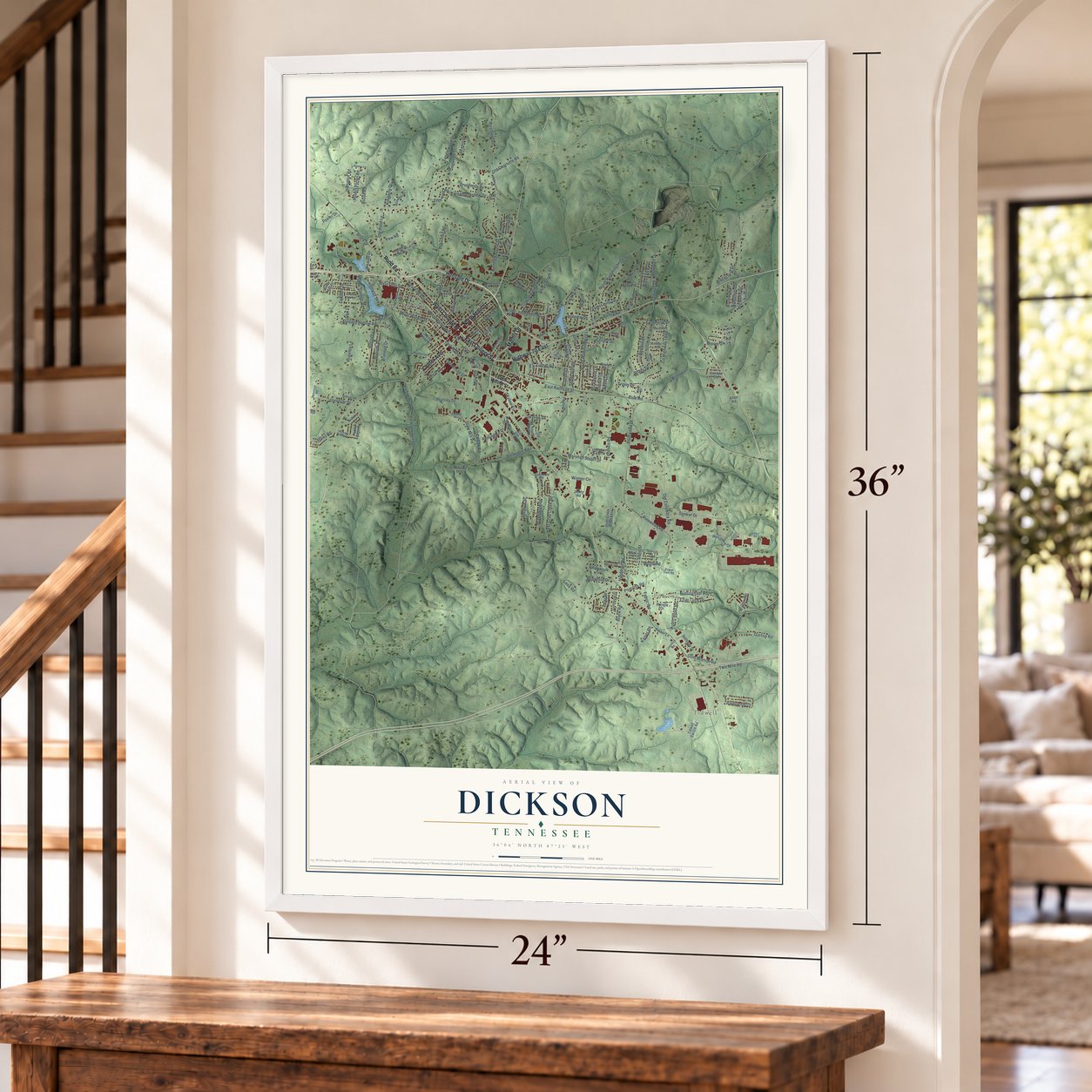
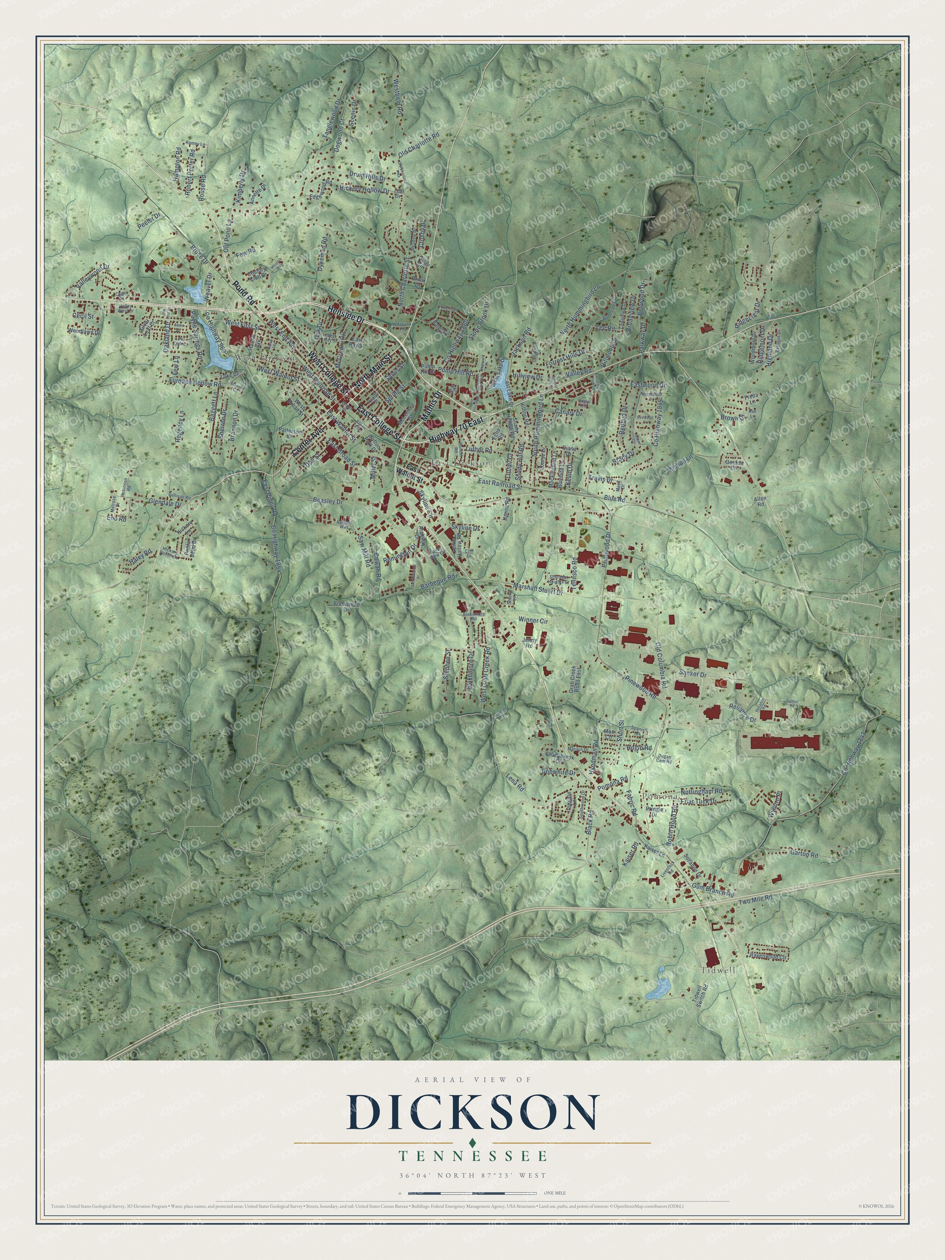
Explore Dickson, Tennessee from a whole new perspective. Created using aerial imagery and detailed geographic data, this map captures Dickson building by building, with labeled streets, familiar landmarks, and shaded topographical relief that highlights the natural contours of the landscape.
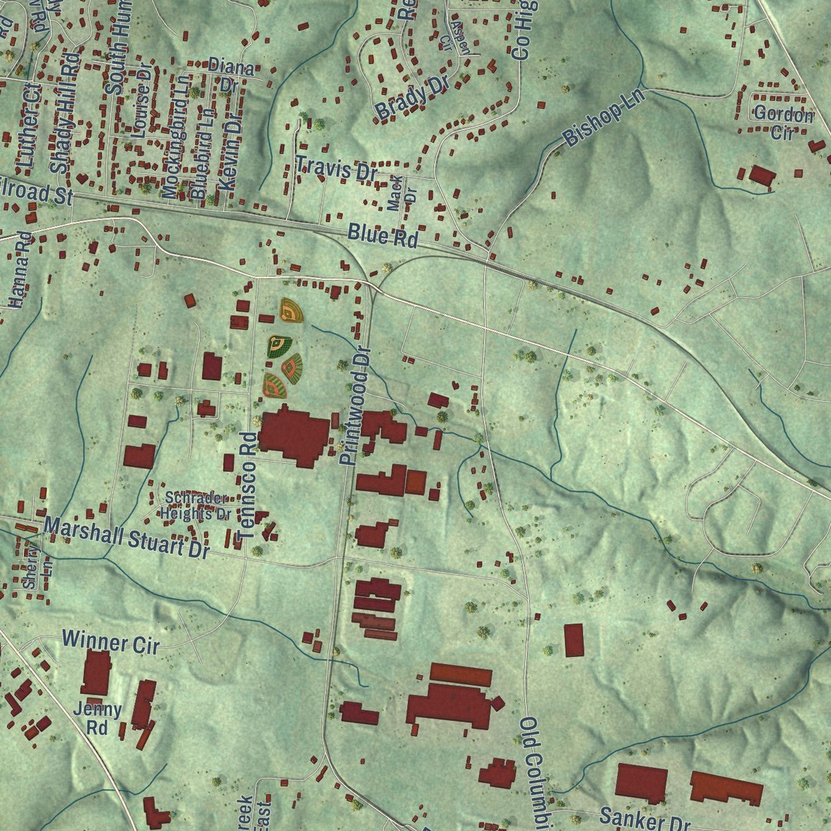
Combining modern data with the timeless character of a vintage atlas, this map is just as interesting up close as it is beautiful on the wall. Whether you grew up in Dickson, spent memorable years there, or call it home today, this unique map is a great way to celebrate a place that means something to you. Zoom in on the preview to look for your street, and then order a print to put your memories on the wall.
Three ways to hang it
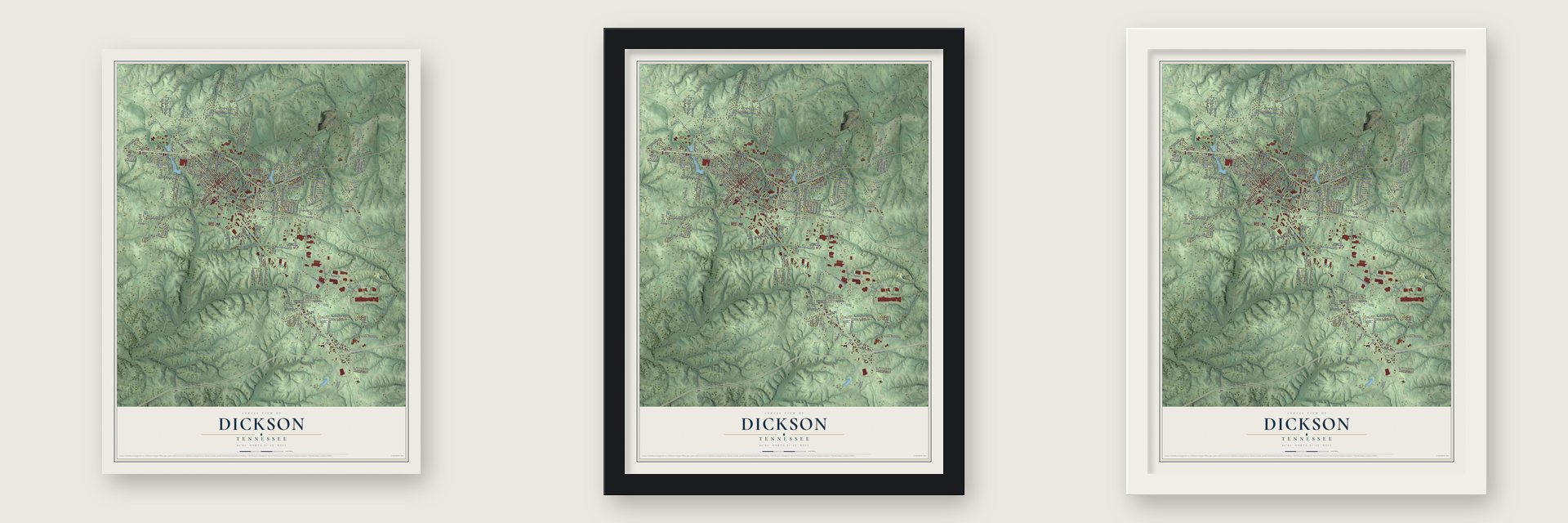
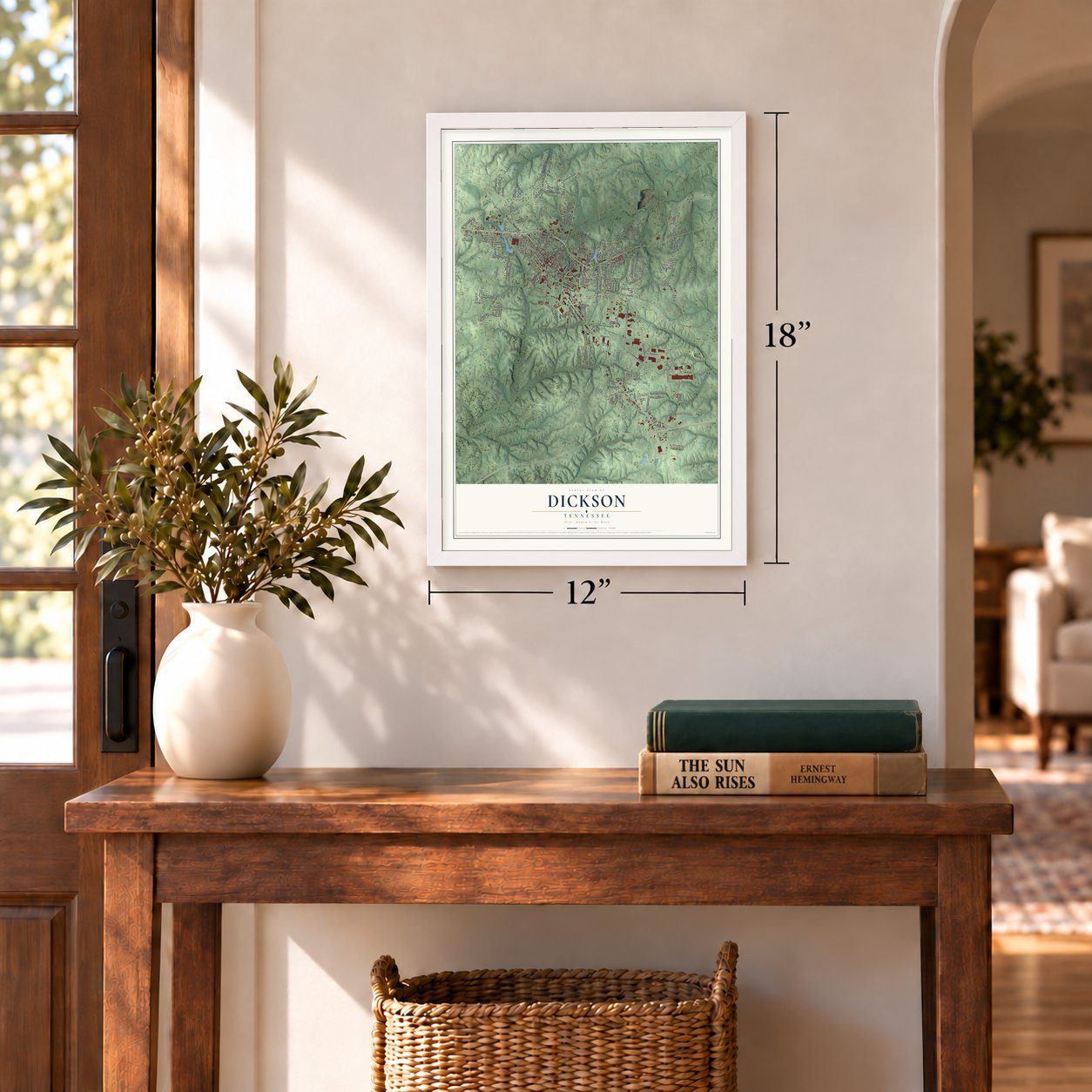
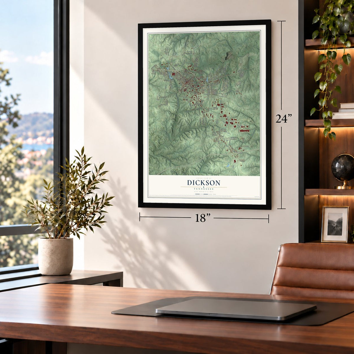
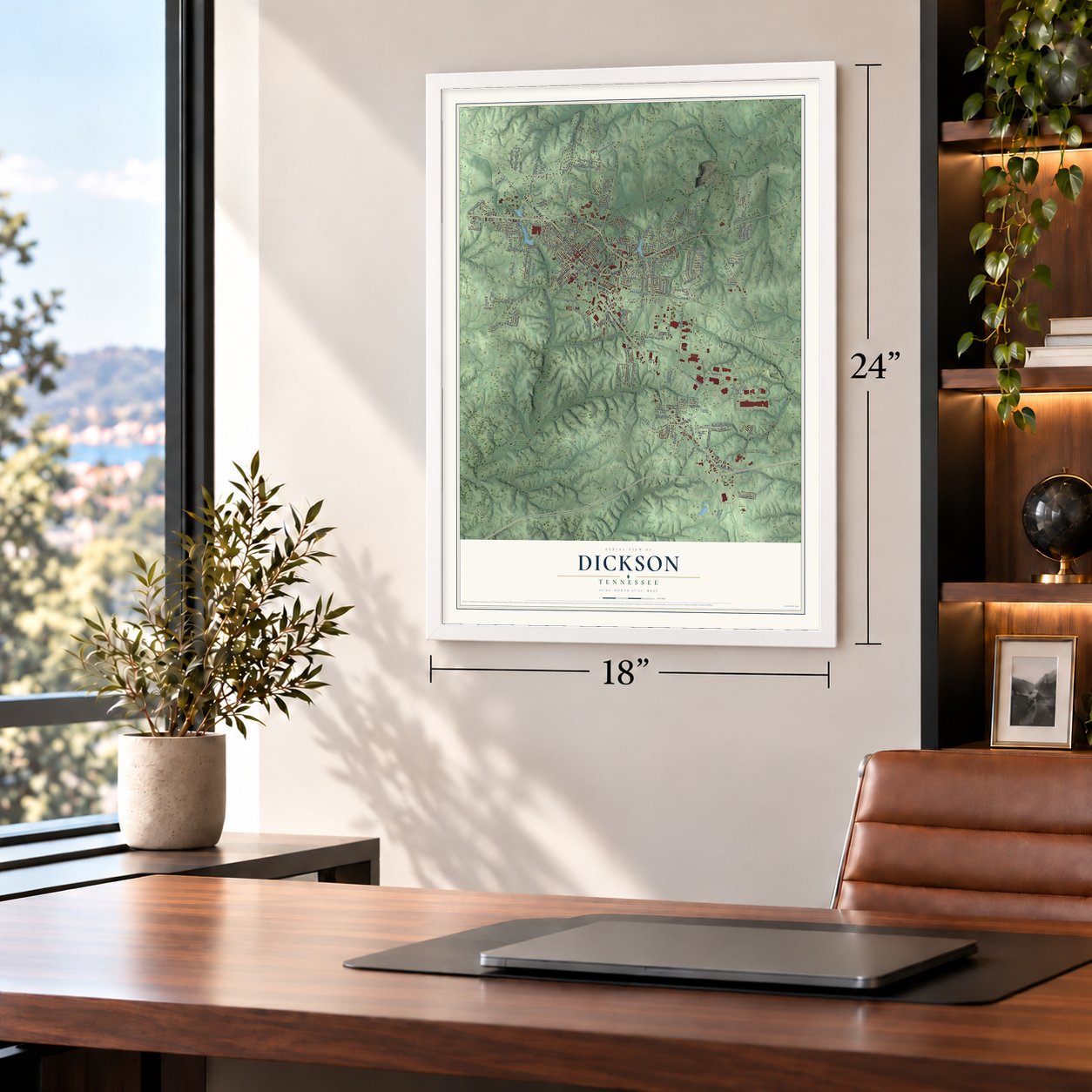
Unframed archival matte, a black wood frame or a white wood frame.
Up close
Geography Worth Displaying
This map was created using accurate cartographic data and authoritative geographic sources, including the U.S. Geological Survey and the Census Bureau. The map brings together terrain, waterways, roads, and building detail. The majority of the streets are labeled, houses are accurately depicted, and the topography is derived from government sources. Combining local data with carefully composed color and shading leads to this beautifully detailed Dickson artwork for your wall.
Rather than simply showing street outlines, we’ve included as many of the street names as we could reasonably fit on the map while keeping their names legible. Zoom in on the high resolution preview to see exactly what’s on the map. We truly set out to create a statement piece for anyone who loves Dickson. So whether it’s for you, or a gift for someone you love, we hope this map of Dickson brings back fond memories.
Read the story behind this map of Dickson, Tennessee from 2026.

About Dickson, Tennessee
Dickson is a city of 16,058 people in Dickson County, west of Nashville. It began as a stop on the railroad that ran west from Nashville to the Tennessee River. Union troops finished that line during the Civil War to carry supplies, and the stop here was known as Mile 42 post. The town shares its name with the county, and both honor Congressman William Dickson.
The railroad drew families from the North, who settled in the new towns that grew along the tracks. Two branch lines ended in Dickson, so it became the hub of the county's railroads, and by the early 1900s it was the county's center of banking and trade. Modern highways and an industrial park later made it the main place to shop and work in southern Dickson County.
- Sneedsville or Smeedsville?No one agrees on the town's first name. Dr. Robert Corlew's A History of Dickson County says Sneedsville, for an engineer named Sneed who helped finish the tracks on General Ulysses S. Grant's orders. In 1980, former mayor Robert S. Clement told Dickson Free Press readers about an 1867 Chancery Court decree, found by historian Henry Ragan, that said Smeedsville. Corlew replied that the n and m are hard to tell apart in that handwriting, so the question remains open.
- A governor born in a hotelFrank Goad Clement, a three-term Tennessee governor, came into the world at the Halbrook Hotel in Dickson. The building still stands and is on the National Register.
- Four on the National RegisterThe First National Bank of Dickson joined the National Register in 1986, followed by the Halbrook Hotel in 1990, the Dickson Post Office in 1996 and the Dickson County War Memorial Building in 1999.
- On the Tennessee Valley DivideThe middle of Dickson sits on the Tennessee Valley Divide. Rain on the southwest side flows down the East Piney River to the Piney and Duck rivers and on to the Tennessee. Rain on the northeast side drains into Turnbull Creek or Jones Creek, then into the Harpeth River and finally the Cumberland.
- Songs, stages and screensDickson is home to the songwriter and bandleader Francis Craig, the country singer Craig Morgan and the actor Anson Mount.
Find your street
Names on the Dickson map
Every name below is printed on this map. Look for your street, your school, the park where you played, or the pond down the road.
Places and landmarks5
- Tidwell
- Pomona
- Henslee Park
- East Dickson
- West Dickson
Streets and roads221
- Henslee Drive
- Pond Road
- East College Street
- Highway 70 East
- West College Street
- North Main Street
- Center Avenue
- Mathis Drive
- Luther Road
- West End Avenue
- West Railroad Street
- Oakland Drive
- County Highway 1845
- Pinewood Road
- Brady Drive
- South Hummingbird Lane
- Old Columbia Road
- County Highway 1843
- Gum Branch Road
- Beasley Drive
- Old Pond Lane
- Printwood Drive
- North Charlotte Street
- Blue Road
- Cowan Road
- Marshall Stuart Drive
- County Highway 969
- West Grab Creek Road
- North Hummingbird Lane
- East Railroad Street
Show all 221 streets
- Druid Hills Drive
- Weaver Drive
- Pomona Road
- Bishop Lane
- Dykeman Road
- East Walnut Street
- County Highway 1854
- East Piney Road
- County Highway 1860
- Furnace Hollow Road
- Tanglewood Drive
- West Walnut Street
- Garton Road
- Nottingham Road
- Brannon Drive
- Ridgecrest Drive
- Westfield Road
- Tennsco Road
- Blakemore Drive
- Sanker Drive
- Dogwood Court
- Sherron Drive
- East Broad Street
- Hickory Hollow Drive
- Lee Road
- Stephen Street
- Payne Springs Road
- Hogin Road
- Redbud Drive
- Glendale Drive
- Black Road
- Dull Street
- Two Mile Road
- Bellwood Drive
- Winner Circle
- Eastwood Drive
- Skyline Drive
- Shady Hill Road
- Baggett Lane
- Pump Hill Road
- Skyline Circle
- Regency Lane
- Eno Road
- Valleywood Drive
- Reliance Drive
- Sylvis Street
- Scenic Drive
- Kaiser Road
- Jackson Road
- Robin Hood Road
- Remington Drive
- Canary Drive
- Fabric Road
- Hyndman Road
- Rouse Road
- McCreary Heights
- West First Street
- Saw Mill Road
- Friar Tuck Drive
- Ridgemont Drive
- Barbeque Road
- Forrest Hills Drive
- Haley Road
- Oak Drive
- Lena Road
- Valley Road
- Old Charlotte Road
- Stone Brook Drive
- Highland Drive
- Hampton Road
- Bruce Drive
- Robert Porter Road
- Kimberly Drive
- Crosby Drive
- Spring Street
- Kevin Drive
- Travis Drive
- Broadview Drive
- Parkway Drive
- Bobwhite Drive
- Brown Drive
- Hillwood Drive
- Peeler Drive
- Hillview Drive
- Wyburn Place
- Miller Street
- Few Road
- Short Street
- Luther Court
- Few Lane
- Cecil Street
- Shady Hollow Road
- East Lake Drive
- West Lake Drive
- West Broad Street
- Ravenwood Circle
- Pump Hill Drive
- Grab Creek Road East
- Country Club Drive
- Teal Drive
- Irongate Lane
- Shadybrook Circle
- Tidwell Switch Road
- Lewis Hollow Road
- Hardin Avenue
- Kaiser Lane
- Batey Circle
- Annette Drive
- Woodmont Drive
- Silver Leaf Cr
- Gordon Circle
- East Ray Street
- McLemore Street
- Bluebird Lane
- Archway Drive
- Mockingbird Lane
- Louise Drive
- Patterson Street
- Mae Circle
- Edgewood Road
- Hanna Road
- Woodlawn Drive
- Clifton Park Drive
- Brentwood Drive
- Hickory Lane
- Suzanne Drive
- Poplar Bend Drive
- Greer Circle
- Lake Drive
- Hilltop Road
- Diana Drive
- Echo Road
- Brook Drive
- Pringle Drive
- Allen Road
- Jenny Road
- Freda Lane
- Crestview Drive
- Eagle Circle
- Woodside Drive
- Spanish Court
- Robinson Road
- Marilyn Drive
- Hickory Pointe Drive
- Belmont Drive
- Southwood Drive
- Cedarview Drive
- Sullivan Road
- Meadow Drive
- Schrader Heights Drive
- Sunset Road
- Bryan Avenue
- Water Street
- Villa Circle
- Ramey Lane
- Sherry Lane
- Poplar Street
- Blakemore Road
- Pin Oak Court
- Melrose Drive
- Livestock Road
- Mack Drive
- Valley View Circle
- West Ray Street
- Dugan Cem Road
- Valley West Drive
- Cliff Drive
- Autumn Way
- Cage Circle
- Rae Lane
- Oak Leaf Drive
- Sanker Road
- Old Charlotte Pike
- East Forest Park Drive
- Reliance Road
- Dogwood Lane
- Lovell Avenue
- Brookside Drive
- Forrest Hills Circle
- Candlewood Drive
- Redwood Drive
- West Lake Villa Boulevard
- Maplewood Drive
- Masters Way
- Lankford Lane
- Lake Villa Boulevard
- McFarland Lane
- Acorn Drive
- Brannon Circle
- Aspen Circle
- Hurt Lane
Names are listed as they appear on the printed map. Zoom into the product photos to find them.
The art of mapping a place
How This Map Was Made
Real places. Remarkable detail. Discover the layers that turn geographic data into a map of home.

The view from above
Aerial imagery reveals the character of the land: woodland, open fields, and the patterns of a place.

The shape of the land
Elevation data brings hills, valleys, and subtle changes in the landscape into view.

The details of home
Roads, waterways, and building footprints come together to make the map feel unmistakably local.

Geography becomes art
Considered color, shading, and typography bring the layers together in a map made for your wall.


Process illustrated with Mendon, Massachusetts. Aerial imagery: USDA NAIP. Terrain: USGS 3D Elevation Program. Map details and finished artwork: KNOWOL.
The Details
About This Print
Choose an archival matte print, or a black or white Ayous wood frame. The archival matte print is unframed.
Select your size and finish above to see the matching product image and price.
Materials & Craftsmanship
A contemporary map with the character of a classic atlas, printed on archival matte paper. Optional frames are made from Ayous wood.
Your printed map does not include the watermark shown in the full-map preview.
Shipping & Delivery
Free shipping within the United States. Every print is made to order in the USA.
Buying a gift? Add a note in your cart and we'll include it. We never put prices in the package.
Prints ship within 2 to 3 business days. Allow 7 to 10 days total from ordering for delivery. Timing may vary during holidays or periods of high order volume.
Read our shipping policy.
Returns and damaged prints
Each print is made to order. Change-of-mind refunds are not available after production.
If your print arrives damaged, misprinted or incorrect, contact support@knowol.com within 30 days of receiving it. Include your order number, photos and a description of the issue.
Read our full refund and replacement policy. For questions about your order, email support@knowol.com.
Find your town
Looking for another city?
Find a map of home in our Tennessee collection, or any town in the country.
Nearby
Maps of towns near Dickson
Know someone from one of these towns? Their map makes a great gift.
 Burns
Burns, Tennessee
From $39.99See the map
 Charlotte
, Tennessee
From $39.99See the map
 White Bluff
, Tennessee
From $39.99See the map
More maps nearby: Bon Aqua Junction, Lyles, Wrigley, Vanleer and Kingston Springs.