
Search for another town

Free U.S. delivery 7 to 10 days after you order
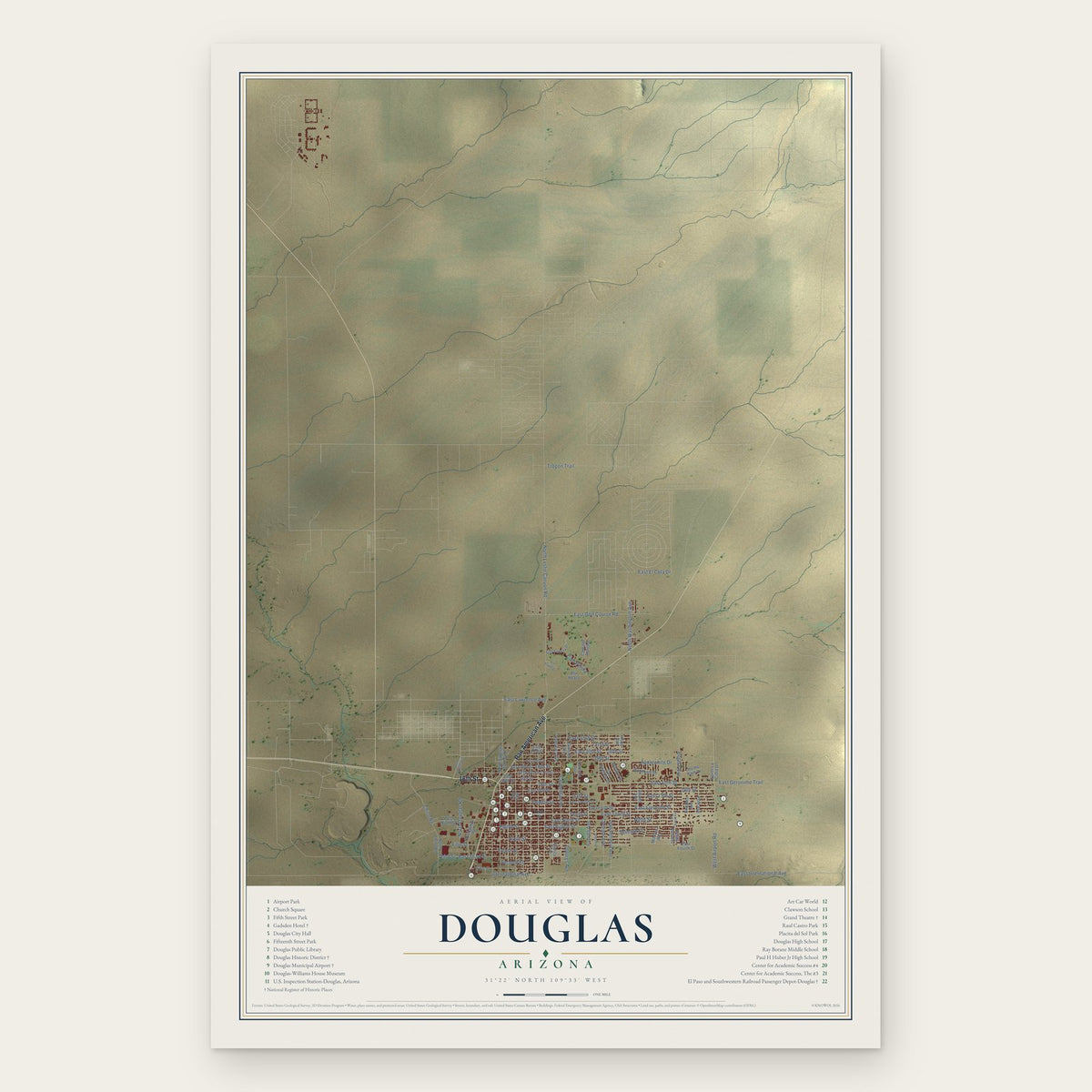
Douglas, Arizona Map Art
Building by building, with labeled streets and shaded relief.
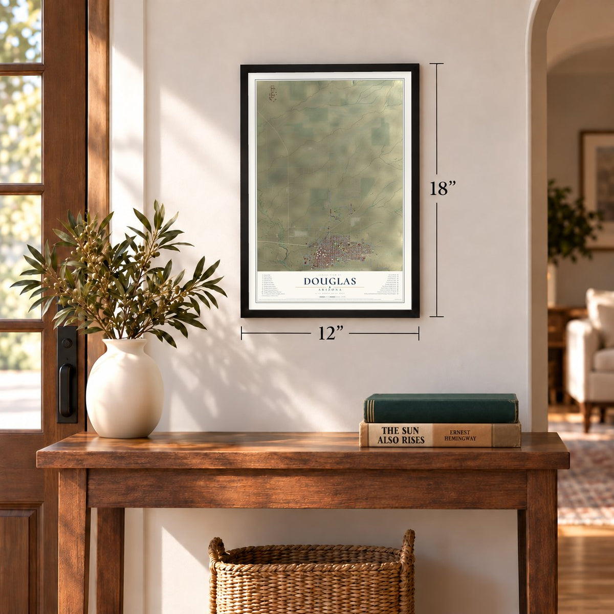
12" x 18" Archival Matte Print
A Map of Home. A Work of Art.
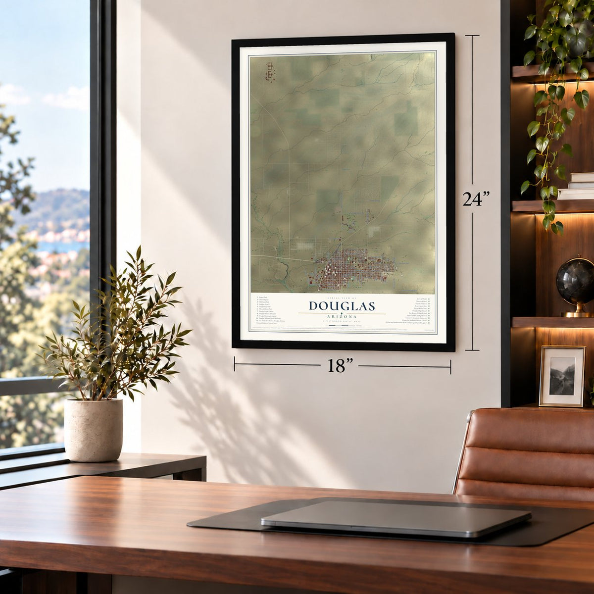
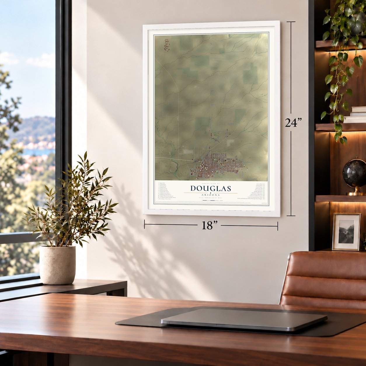
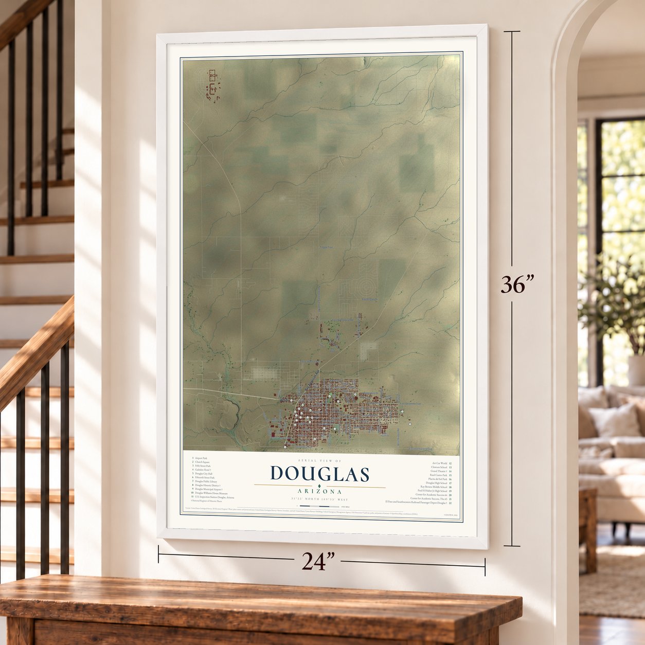
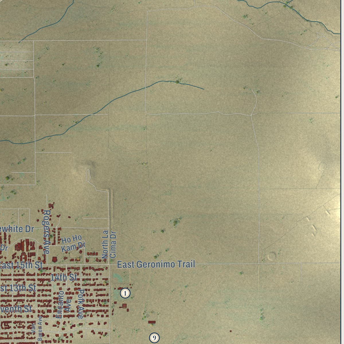
Explore Douglas, Arizona from a whole new perspective. Created using aerial imagery and detailed geographic data, this map captures Douglas building by building, with labeled streets, familiar landmarks, and shaded topographical relief that highlights the natural contours of the landscape.
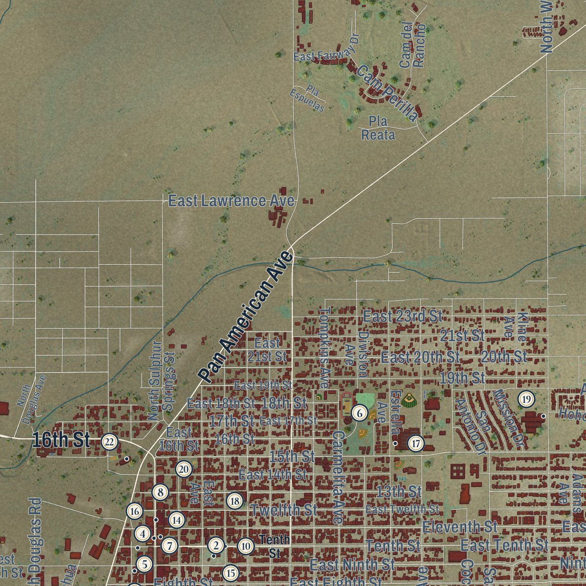
Combining modern data with the timeless character of a vintage atlas, this map is just as interesting up close as it is beautiful on the wall. Whether you grew up in Douglas, spent memorable years there, or call it home today, this unique map is a great way to celebrate a place that means something to you. Zoom in on the preview to look for your street, and then order a print to put your memories on the wall.

Three ways to hang it
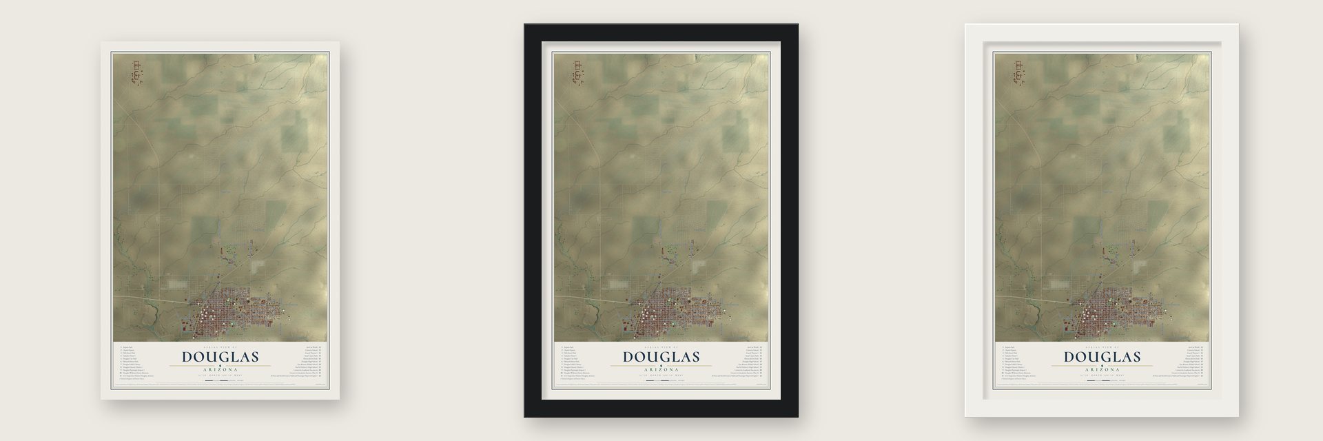
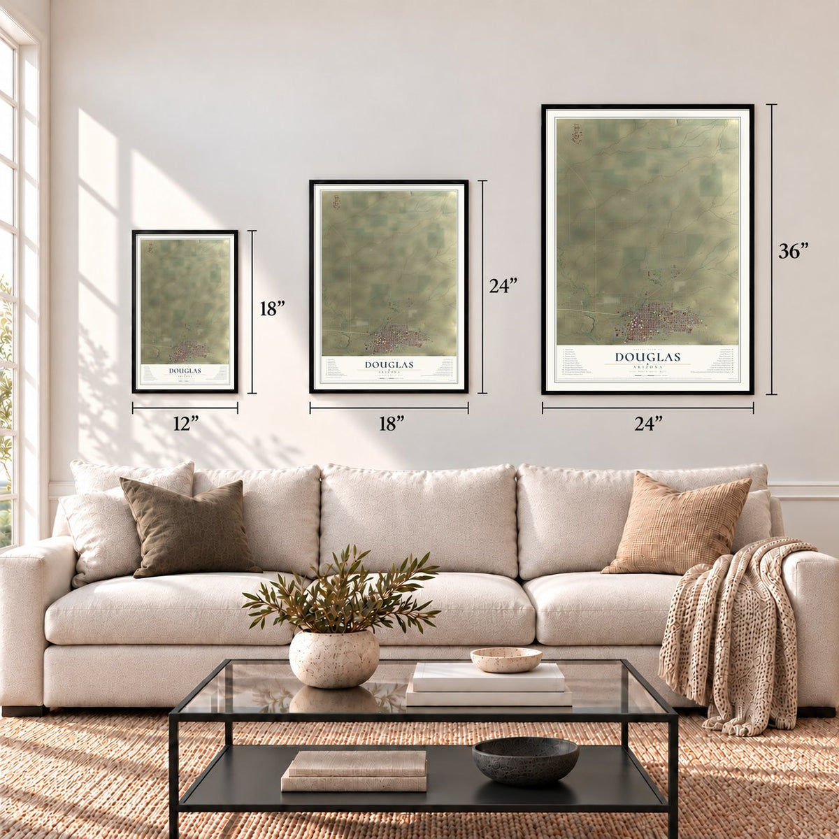
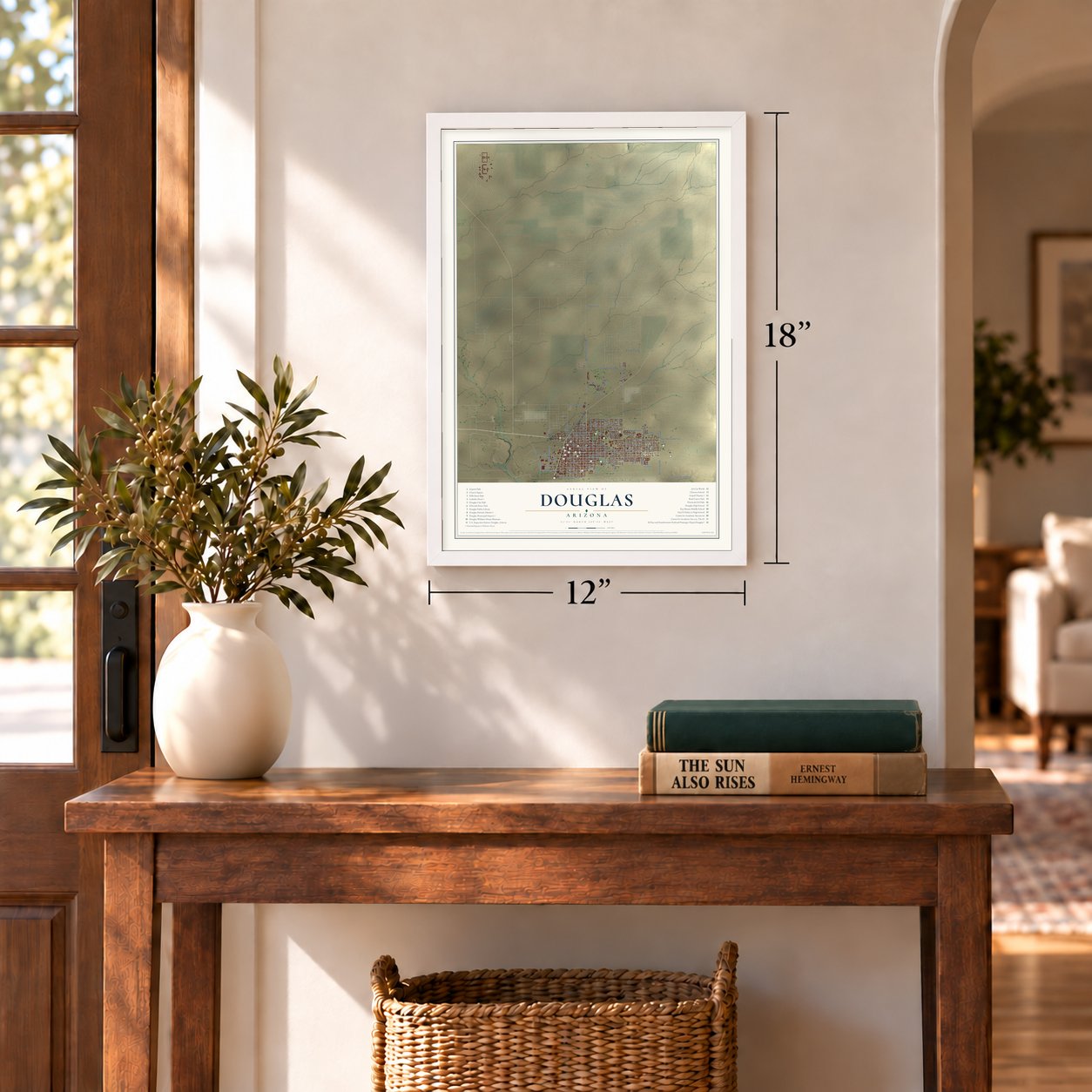
Unframed archival matte, a black wood frame or a white wood frame.
Up close
Geography Worth Displaying
This map was created using accurate cartographic data and authoritative geographic sources, including the U.S. Geological Survey (USGS) and FEMA. The map brings together terrain, waterways, roads, and building detail. The majority of the streets are labeled, houses are accurately depicted, and the topography is derived from government sources. Combining local data with carefully composed color and shading leads to this beautifully detailed Douglas artwork for your wall.
Rather than simply showing street outlines, we’ve included as many of the street names as we could reasonably fit on the map while keeping their names legible. Zoom in on the high resolution preview to see exactly what’s on the map. We truly set out to create a statement piece for anyone who loves Douglas. So whether it’s for you, or a gift for someone you love, we hope this map of Douglas brings back fond memories.
Explore the full map of Douglas, Arizona and read about the local places it shows.

Find your street
Names on the Douglas map
Every name below is printed on this map. Look for your street, your school, the park where you played, or the pond down the road.
Streets and roads86
- Pan American Avenue
- 16th Street
- East Tenth Street
- Tenth Street
- International Avenue
- Carmelita Avenue
- Eighth Street
- Cochise Avenue
- East Eighth Street
- East 20th Street
- Chino Road
- East Ninth Street
- North Leslie Canyon Road
- 15th Street
- East Eleventh Street
- Ninth Street
- East International Avenue
- Fifth Street
- East 15th Street
- Eleventh Street
- Sixth Street
- North Washington Avenue
- Twelfth Street
- 13th Street
- East 13th Street
- Seventh Street
- Third Street
- Fourth Street
- East Third Street
- 19th Street
Show all 86 streets
- East Golf Course Road
- Applewhite Drive
- 20th Street
- 14th Street
- 21st Street
- West Airport Road
- 17th Street
- Dolores Avenue
- East 23rd Street
- San Antonio Avenue
- East Geronimo Trail
- 18th Street
- North Douglas Road
- Florida Avenue
- Second Street
- East Lawrence Avenue
- Trogon Trail
- Cam Perilla
- East El Cola Drive
- Rogers Avenue
- West Ninth Street
- North Sulphur Springs Street
- Chivicahua Road
- East Fourth Street
- Ho Ho Kam Drive
- East Avenue
- Bonita Avenue
- East 14th Street
- First Street
- Estrella Avenue
- Monroe Avenue
- East 16th Street
- Hohokam Drive
- East 18th Street
- North Chino Road
- Adams Avenue
- Encanto Avenue
- Cam del Rancho
- Kline Avenue
- Polk Avenue
- Tompkins Avenue
- Division Avenue
- Mission Drive
- East 21st Street
- San Antonio Drive
- North La Cima Drive
- Pla Reata
- Quail Run Avenue
- East Twelfth Street
- East 17th Street
- East Fairway Drive
- East 19th Street
- Van Buren Avenue
- North Douglas Avenue
- Rose Avenue
- Pla Espuelas
Names are listed as they appear on the printed map. Zoom into the product photos to find them.
About Douglas, Arizona
Douglas is a city of 16,531 people in Cochise County, in the Sulphur Springs Valley, facing Agua Prieta, Sonora, across the Mexican border. The Spanish came first, raising the Presidio de San Bernardino in 1776 several miles east of the present city and abandoning it in 1780.
The American town grew up to process copper ore from the mines at nearby Bisbee. It took its name from Dr. James Douglas, a Quebec City-born mining engineer who got rich from copper in Bisbee and Sonora. The Calumet and Arizona Company built a smelter here in 1902, the Copper Queen opened a second one in 1904, and Douglas was incorporated in 1905. In 1931 Phelps Dodge bought Calumet and Arizona, shut the Copper Queen smelter and took over the other plant, which became the Douglas Reduction Works. That plant closed in 1987, and its smokestacks were pulled down on January 13, 1991.
“Mrs. McPherson put Douglas square on the map and the citizens here appear grateful that it was in Douglas she sought refuge.”
- The Gadsden HotelNamed for the Gadsden Purchase, the Gadsden opened in 1907, and cattlemen, ranchers, miners and businessmen made its five stories and 160 rooms a second home. Thornton Wilder stopped in May 1962 for car repairs and stayed two months.
- The Grand Theatre, 1919M. Eugene Durfee designed the Grand Theatre, which opened in 1919 and was, in its day, the largest theater anywhere from Los Angeles to San Antonio. Stars such as Ginger Rogers, Anna Pavlova and John Philip Sousa took its stage. Besides movies, the building held a tea room, a candy store, a barbershop and the graduations of Douglas High School. It was badly damaged over the years, and work is under way to return it to its first appearance.
- A missing evangelist in 1926The evangelist Aimee Semple McPherson had vanished from a beach near Los Angeles, and people believed she had drowned. On June 23, 1926, she was found collapsed beside a road at Agua Prieta and was driven to Calumet Hospital in Douglas. While she recovered, she told of being kidnapped and tortured and then escaping. Big crowds gathered outside, and for several weeks police, reporters and the curious filled the town and searched the desert to check her story.
- An international airport in 1928Douglas opened its municipal airport in 1928 where 10th Avenue ends on the east side of town, and it is counted as the first international airport in the United States. Amelia Earhart landed there on a flight across the country. During World War II the field trained military pilots.
- The copper depotThe El Paso and Southwestern Railroad built its Douglas passenger depot in 1913. Copper from the smelters went out by rail to large manufacturers in the East. The depot is admired as a fine example of early twentieth-century railroad design, and today it houses the Douglas police station.
Keep exploring Arizona
Douglas is one of 528 Arizona towns we've mapped. Every dot on the map is a print of its own.
The search covers every state, Arizona first.
Near Douglas
Order 2 or more town maps and save 10%. Shown in the size and finish you picked above, so they hang as a set.
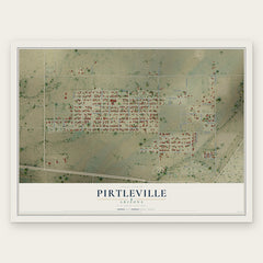
- Pirtleville 12" x 18" / Archival Matte Print $39.99
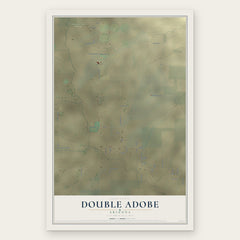
- Double Adobe 12" x 18" / Archival Matte Print $39.99
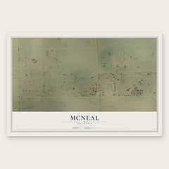
- McNeal 12" x 18" / Archival Matte Print $39.99
The art of mapping a place
How This Map Was Made
Real places. Remarkable detail. Discover the layers that turn geographic data into a map of home.

The view from above
Aerial imagery reveals the character of the land: woodland, open fields, and the patterns of a place.

The shape of the land
Elevation data brings hills, valleys, and subtle changes in the landscape into view.

The details of home
Roads, waterways, and building footprints come together to make the map feel unmistakably local.

Geography becomes art
Considered color, shading, and typography bring the layers together in a map made for your wall.


Process illustrated with Mendon, Massachusetts. Aerial imagery: USDA NAIP. Terrain: USGS 3D Elevation Program. Map details and finished artwork: KNOWOL.
The Details
About This Print
Choose an archival matte print, or a black or white Ayous wood frame. The archival matte print is unframed.
Select your size and finish above to see the matching product image and price.
Materials & Craftsmanship
A contemporary map with the character of a classic atlas, printed on archival matte paper. Optional frames are made from Ayous wood.
Your printed map does not include the watermark shown in the full-map preview.
Shipping & Delivery
Free shipping within the United States. Every print is made to order in the USA.
Buying a gift? Add a note in your cart and we'll include it. We never put prices in the package.
Prints ship within 2 to 3 business days. Allow 7 to 10 days total from ordering for delivery. Timing may vary during holidays or periods of high order volume.
Read our shipping policy.
Returns and damaged prints
Each print is made to order. Change-of-mind refunds are not available after production.
If your print arrives damaged, misprinted or incorrect, contact support@knowol.com within 30 days of receiving it. Include your order number, photos and a description of the issue.
Read our full refund and replacement policy. For questions about your order, email support@knowol.com.