
Search for another town
Free U.S. delivery 7 to 10 days after you order
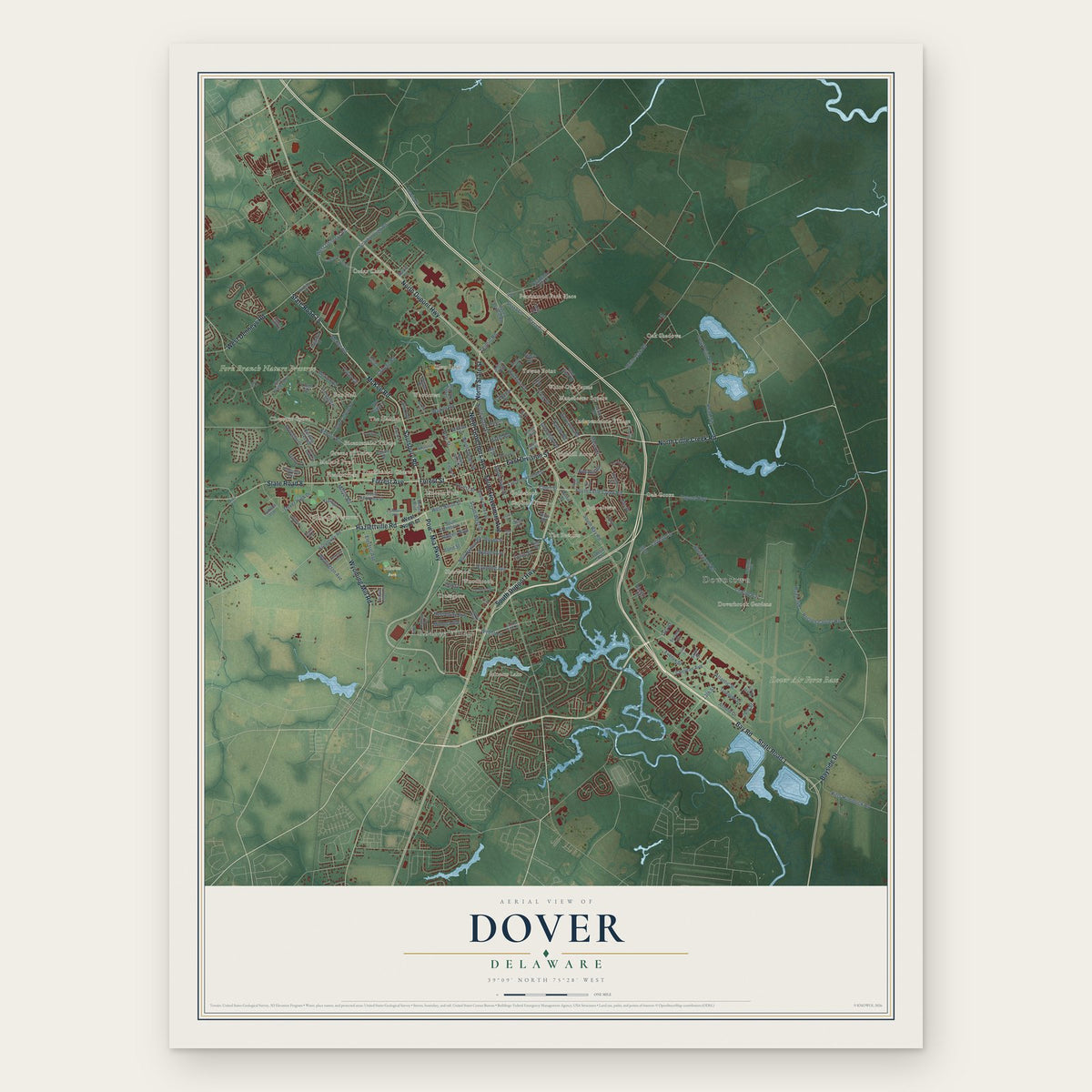
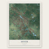
Dover, Delaware Map Art
Building by building, with labeled streets and shaded relief.
12" x 18" Archival Matte Print
A Map of Home. A Work of Art.
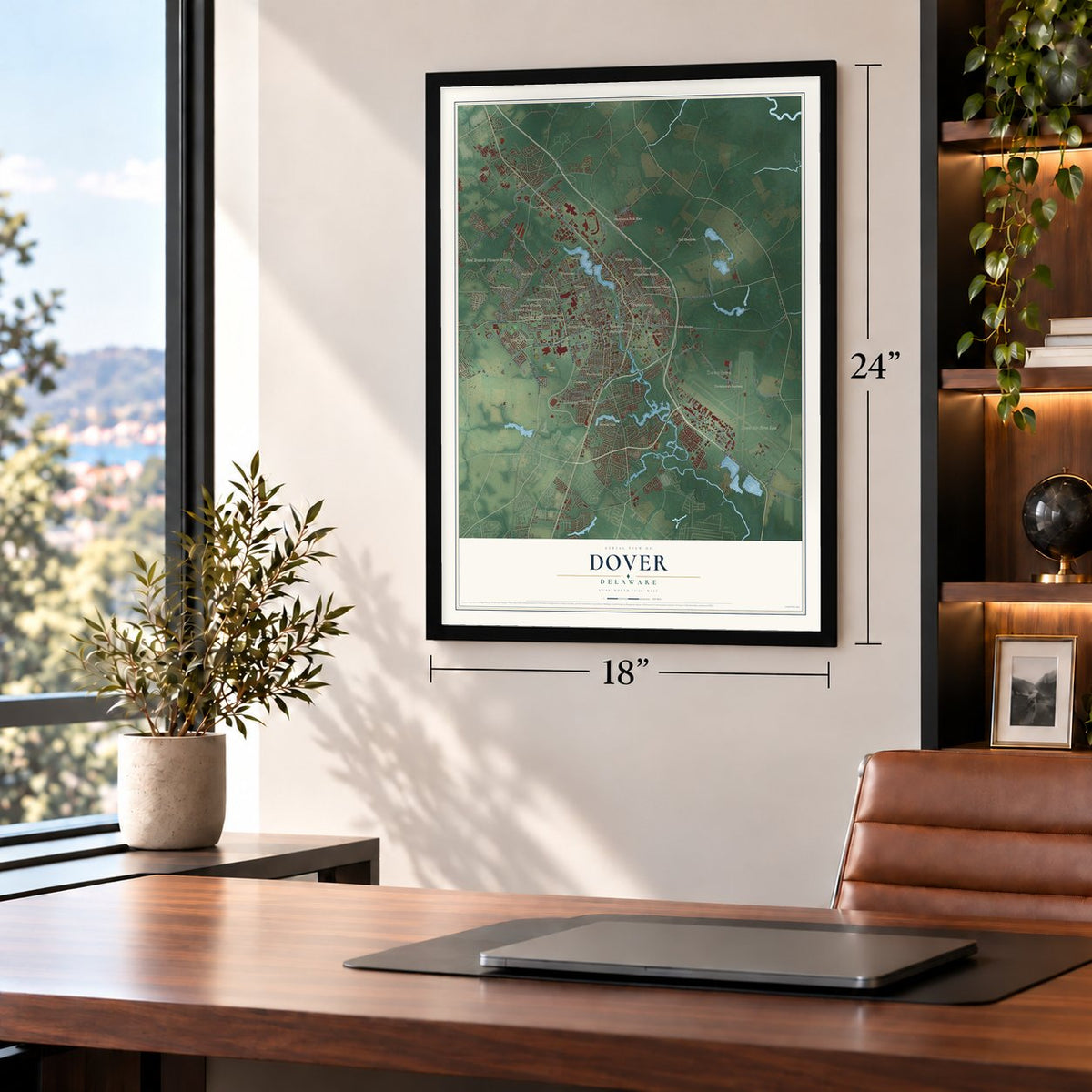
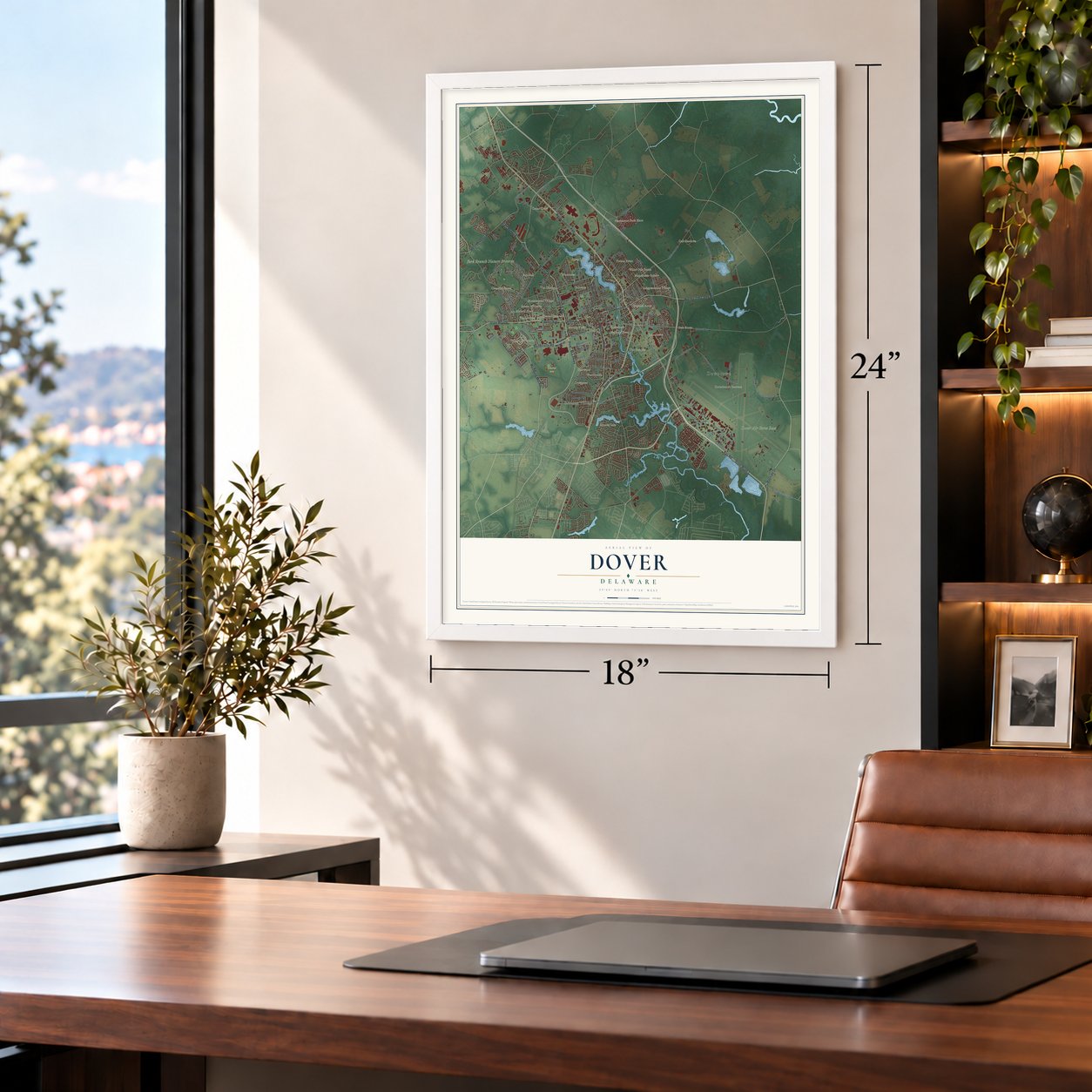
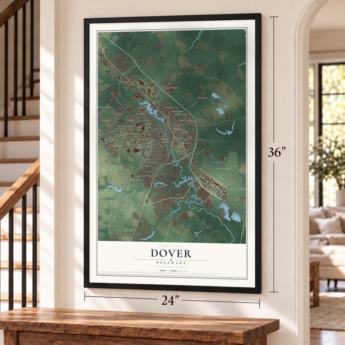
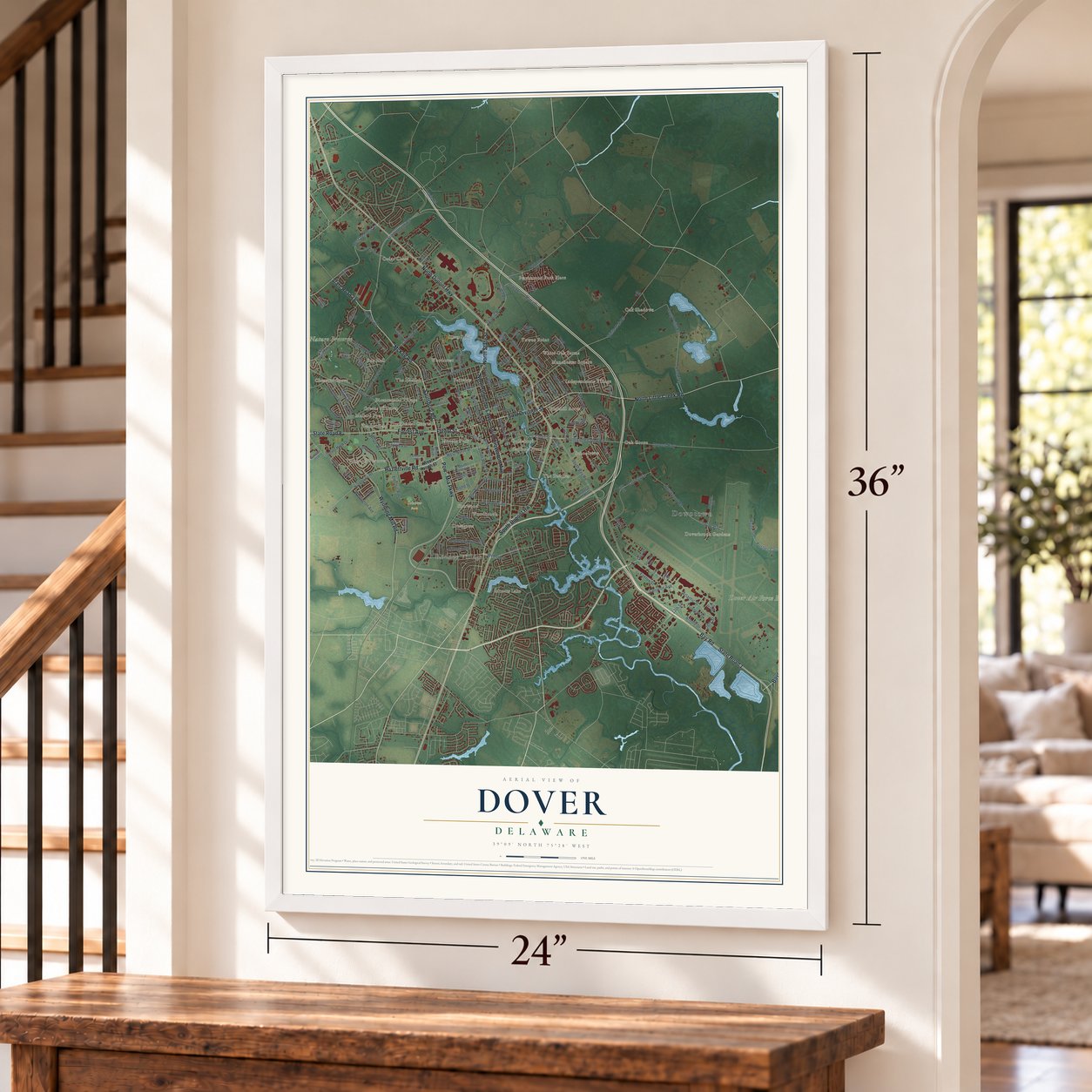
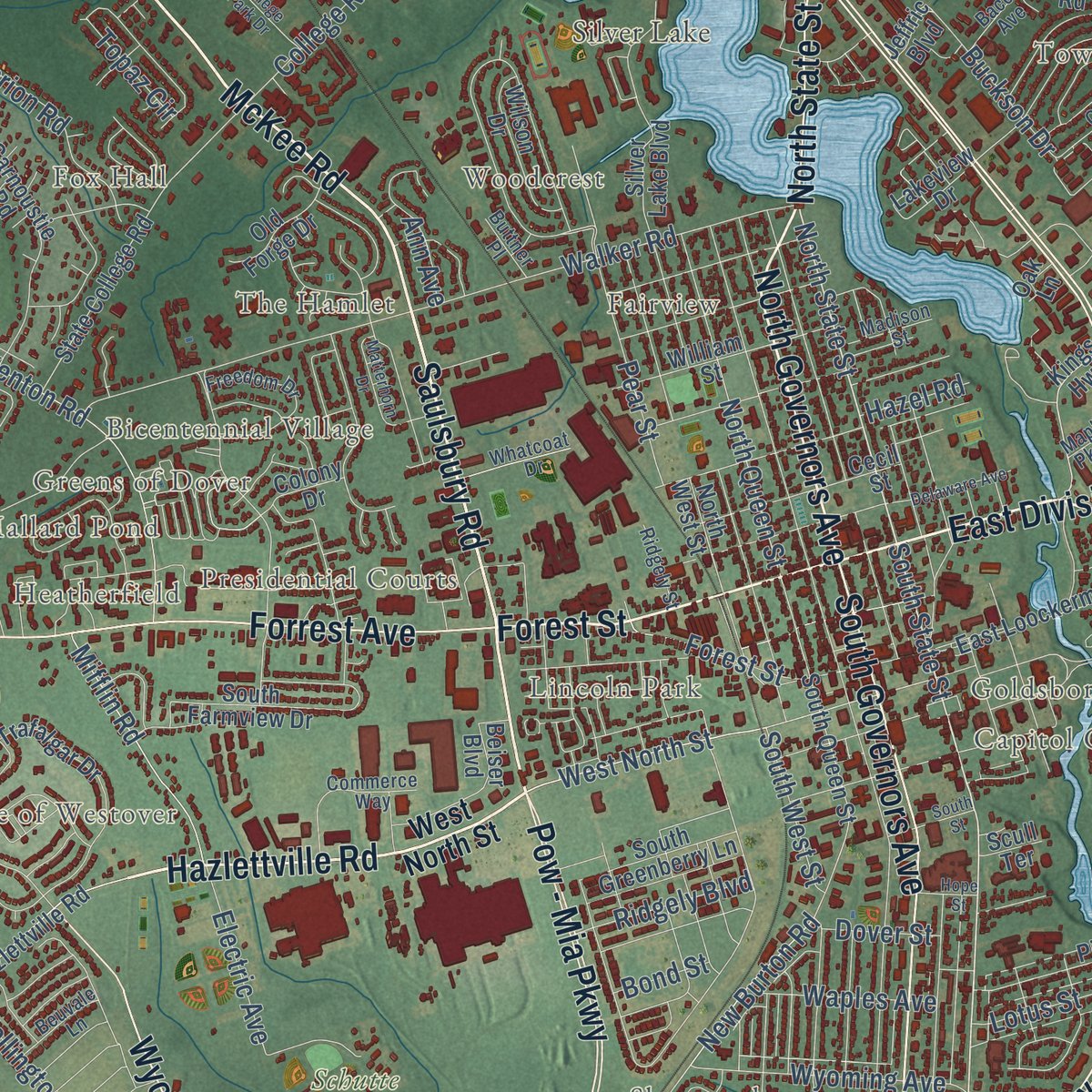
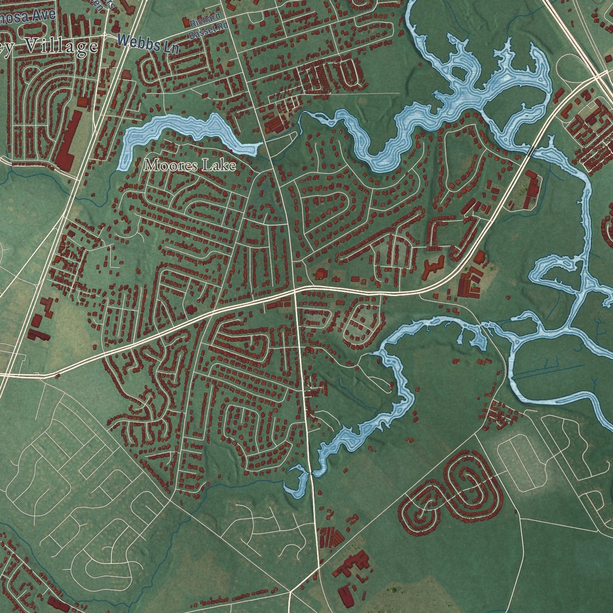
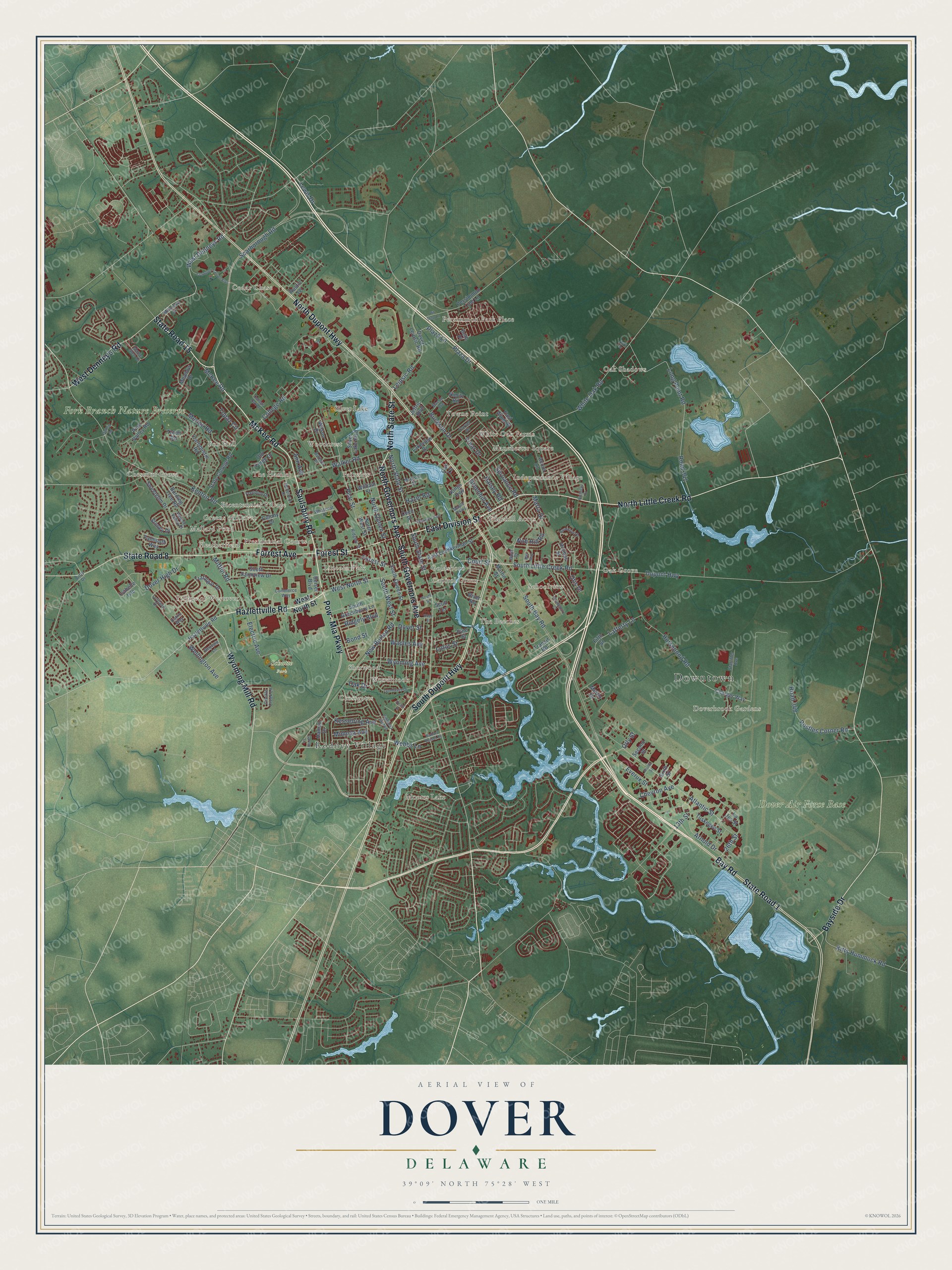
Explore Dover, Delaware from a whole new perspective. Created using aerial imagery and detailed geographic data, this map captures Dover building by building, with labeled streets, familiar landmarks, and shaded topographical relief that highlights the natural contours of the landscape.
Combining modern data with the timeless character of a vintage atlas, this map is just as interesting up close as it is beautiful on the wall. Whether you grew up in Dover, spent memorable years there, or call it home today, this unique map is a great way to celebrate a place that means something to you. Zoom in on the preview to look for your street, and then order a print to put your memories on the wall.
Three ways to hang it
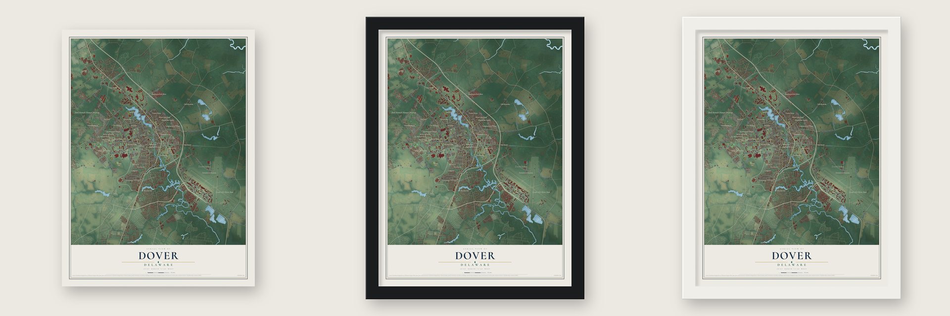
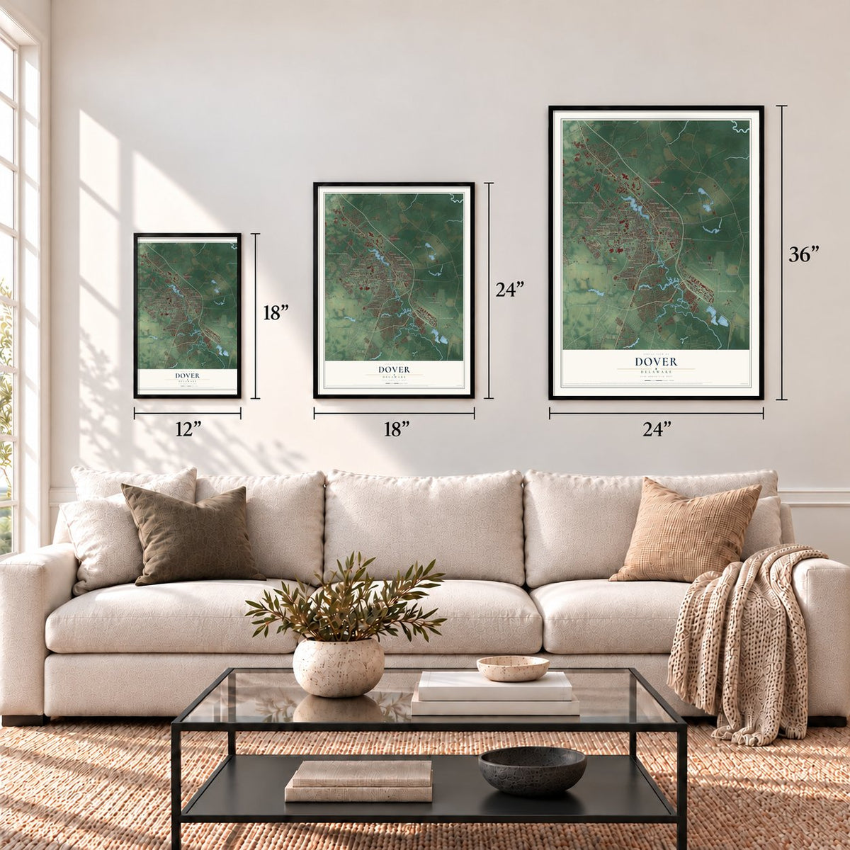
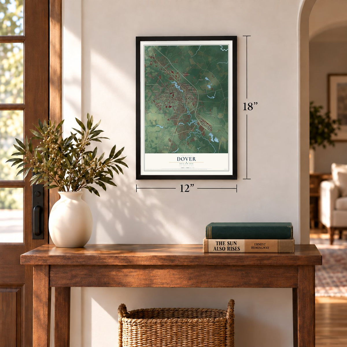
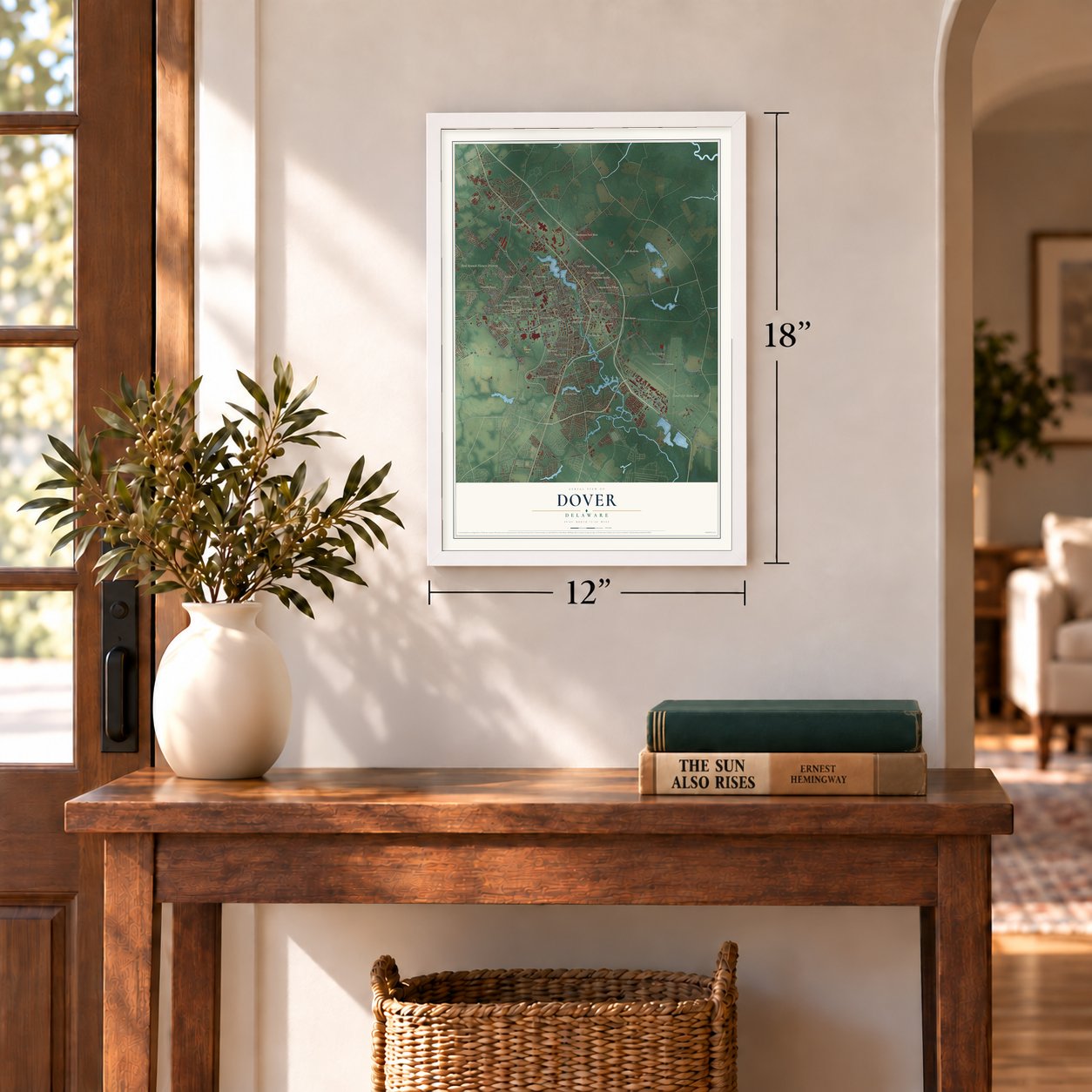
Unframed archival matte, a black wood frame or a white wood frame.
Up close
Geography Worth Displaying
This map was created using accurate cartographic data and authoritative geographic sources, including the U.S. Geological Survey and the Census Bureau. The map brings together terrain, waterways, roads, and building detail. The majority of the streets are labeled, houses are accurately depicted, and the topography is derived from government sources. Combining local data with carefully composed color and shading leads to this beautifully detailed Dover artwork for your wall.
Rather than simply showing street outlines, we’ve included as many of the street names as we could reasonably fit on the map while keeping their names legible. Zoom in on the high resolution preview to see exactly what’s on the map. We truly set out to create a statement piece for anyone who loves Dover. So whether it’s for you, or a gift for someone you love, we hope this map of Dover brings back fond memories.
Read the story behind this map of Dover, Delaware from 2026.
Find your street
Names on the Dover map
Every name below is printed on this map. Look for your street, your school, the park where you played, or the pond down the road.
Places and landmarks36
- Downtown
- Silver Lake
- Rodney Village
- Dover Air Force Base
- Moores Lake
- Fork Branch Nature Preserve
- Schutte Park
- Oak Shadows
- Mallard Pond
- Independence Village
- Persimmon Park Place
- The Hamlet
Show all 36 places
- Schoolview
- Woodbrook
- Oak Grove
- Lincoln Park
- Goldsboro
- Woodcrest
- Edgehill Acres
- Village of Westover
- Towne Point
- Bicentennial Village
- Chestnut Grove
- The Beeches
- Crossgates
- Fox Hall
- Cedar Chase
- Fairview
- Doverbrook Gardens
- White Oak Farms
- Sherwood
- Heatherfield
- Presidential Courts
- Manchester Square
- Capitol Green
- Greens of Dover
Streets and roads165
- State Road 15
- McKee Road
- East Division Street
- Saulsbury Road
- North Governors Avenue
- Hazlettville Road
- Forest Street
- North Little Creek Road
- Bay Road
- South Governors Avenue
- North Dupont Highway
- State Road 8
- South Dupont Highway
- Pow - Mia Parkway
- Forrest Avenue
- State Road 1
- West Denneys Road
- Wyoming Mill Road
- North State Street
- Bayside Drive
- Scarborough Road
- South State Street
- White Oak Road
- Atlantic Street
- West North Street
- Webbs Lane
- South Little Creek Road
- New Burton Road
- North Queen Street
- Court Street
Show all 165 streets
- Arnold Drive
- South Bay Road
- Kenton Road
- Long Point Road
- Road 341
- Horsepond Road
- Walker Road
- College Road
- Leipsic Road
- Dupont Highway
- Lafferty Lane
- Dover High Drive
- Everux Street
- Plaza Drive
- Postles Corner Road
- Road 348
- Kitts Hummock Road
- Lotus Street
- Halsey Road
- Electric Avenue
- Topaz Circle
- South West Street
- Kesselring Avenue
- Wyoming Avenue
- Plaza Lane
- Nob Hill Road
- Mifflin Road
- Merion Road
- Chevron Avenue
- Lewis Drive
- Pear Street
- Wellington Avenue
- Ridgely Boulevard
- Buckson Drive
- Oak Drive
- 26th Street
- Spruance Road
- Waples Avenue
- Frear Drive
- Greenhill Avenue
- 13th Street
- Mimosa Avenue
- Dover Street
- Marta Drive
- Ann Avenue
- Hazel Road
- Otis Drive
- Bond Street
- Orly Street
- Kings Highway
- East Wind Drive
- La Jes Street
- South Queen Street
- Transit Road
- Holmes Street
- East Loockerman Street
- Carnoustie Road
- Charger Way
- State College Road
- Nimitz Road
- Stoney Drive
- Dover Leipsic Road
- Troon Road
- Pine Valley Road
- North West Street
- Silver Lake Boulevard
- Fifth Street
- Trafalgar Drive
- Persimmon Tree Lane
- Acorn Lane
- William Street
- Cecil Street
- River Road
- Isabelle Isle
- Tuskegee Street
- Colony Drive
- Beiser Boulevard
- South Farmview Drive
- Sweetgum Drive
- Wilson Drive
- South Greenberry Lane
- Burning Tree Road
- Pine Street
- Haman Drive
- Old Forge Drive
- Falmouth Way
- Merlin Drive
- Meadow Drive
- Beth Place
- Lakeview Drive
- Scull Terrace
- Second Street
- Martin Street
- Rustic Lane
- Jeffric Boulevard
- Sixth Street
- Oak Lane
- Baab Drive
- Fiddlers Green
- Maple Glen Drive
- Freedom Drive
- Whatcoat Drive
- Starlifter Avenue
- Commerce Way
- Maple Parkway
- Bacon Avenue
- Carvel Drive
- Millcreek Drive
- Crickle Creek Lane
- Beuvale Lane
- Pebble Valley Place
- Madison Street
- Loftland Drive
- Ridgely Street
- Buttner Place
- Katrin Way
- Artis Drive
- Richard Basset Road
- Crawford Carroll Boulevard
- Roundtree Drive
- Lynnhaven Drive
- Matterhorn Drive
- College Park Drive
- Shrewsbury Court
- Delaware Avenue
- Nicholas Drive
- Pit Stop Lane
- South Street
- Fourth Street
- Baltray Road
- Mer Way
- Hope Street
- Garton Lane
- Deats Drive
- April Drive
Names are listed as they appear on the printed map. Zoom into the product photos to find them.
About Dover, Delaware
Dover is a city of 39,403 people and the capital of Delaware, on the St. Jones River in Kent County. William Penn founded it in 1683 as the court town for the new Kent County and named it for Dover in Kent, England. A special commission of the Delaware General Assembly laid out the town in 1717.
In 1777 Delaware moved its capital here from New Castle. Dover sat in the middle of the state and was safer from British raiders on the Delaware River. An act of October 1779 let the assembly meet wherever it chose, so it moved among Wilmington, Lewes, Dover and New Castle. It finally settled in Dover for good in October 1781. Rallies and troop reviews filled The Green, the town square where Kent County's courthouse and the state's Supreme Court now stand.
- Caesar Rodney's hometownCaesar Rodney, the popular leader of Delaware during the American Revolution, made his home in Dover. He was buried somewhere outside the city, and no one knows exactly where. Christ Episcopal Church, near The Green, honors him with a cenotaph in its cemetery.
- A stop to freedomDover and Kent County split deeply over slavery. Because the city sat between slaveholding Maryland and free Pennsylvania and New Jersey, it became a stop on the Underground Railroad. A large Quaker community here also pushed for emancipation in the early nineteenth century.
- Jell-O since 1964Kraft Foods has made Jell-O at its Dover plant since 1964, when production moved here from LeRoy, New York.
- NASCAR every springOne spring weekend each year, NASCAR races at Dover Motor Speedway draw about 65,000 fans. In the 1990s and 2000s the crowds sometimes reached 140,000, and hotels still sell out weeks ahead of race weekend. Since 2012 the Firefly Music Festival has filled the speedway's woods each summer.
Keep exploring Delaware
Dover is one of 94 Delaware towns we've mapped. Every dot on the map is a print of its own.
The search covers every state, Delaware first.
Near Dover
Order 2 or more town maps and save 10%. Shown in the size and finish you picked above, so they hang as a set.
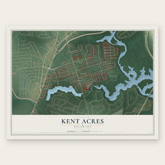
- Kent Acres 12" x 18" / Archival Matte Print $39.99
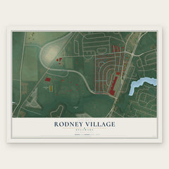
- Rodney Village 12" x 18" / Archival Matte Print $39.99
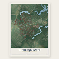
- Highland Acres 12" x 18" / Archival Matte Print $39.99
More maps nearby: Dover Base Housing, Little Creek, Wyoming, Rising Sun-Lebanon and Camden.
The art of mapping a place
How This Map Was Made
Real places. Remarkable detail. Discover the layers that turn geographic data into a map of home.

The view from above
Aerial imagery reveals the character of the land: woodland, open fields, and the patterns of a place.

The shape of the land
Elevation data brings hills, valleys, and subtle changes in the landscape into view.

The details of home
Roads, waterways, and building footprints come together to make the map feel unmistakably local.

Geography becomes art
Considered color, shading, and typography bring the layers together in a map made for your wall.


Process illustrated with Mendon, Massachusetts. Aerial imagery: USDA NAIP. Terrain: USGS 3D Elevation Program. Map details and finished artwork: KNOWOL.
The Details
About This Print
Choose an archival matte print, or a black or white Ayous wood frame. The archival matte print is unframed.
Select your size and finish above to see the matching product image and price.
Materials & Craftsmanship
A contemporary map with the character of a classic atlas, printed on archival matte paper. Optional frames are made from Ayous wood.
Your printed map does not include the watermark shown in the full-map preview.
Shipping & Delivery
Free shipping within the United States. Every print is made to order in the USA.
Buying a gift? Add a note in your cart and we'll include it. We never put prices in the package.
Prints ship within 2 to 3 business days. Allow 7 to 10 days total from ordering for delivery. Timing may vary during holidays or periods of high order volume.
Read our shipping policy.
Returns and damaged prints
Each print is made to order. Change-of-mind refunds are not available after production.
If your print arrives damaged, misprinted or incorrect, contact support@knowol.com within 30 days of receiving it. Include your order number, photos and a description of the issue.
Read our full refund and replacement policy. For questions about your order, email support@knowol.com.