
Search for another town





Free U.S. delivery 7 to 10 days after you order
Drexel Hill, Pennsylvania Map Art
Building by building, with labeled streets and shaded relief.
12" x 18" Archival Matte Print
A Map of Home. A Work of Art.
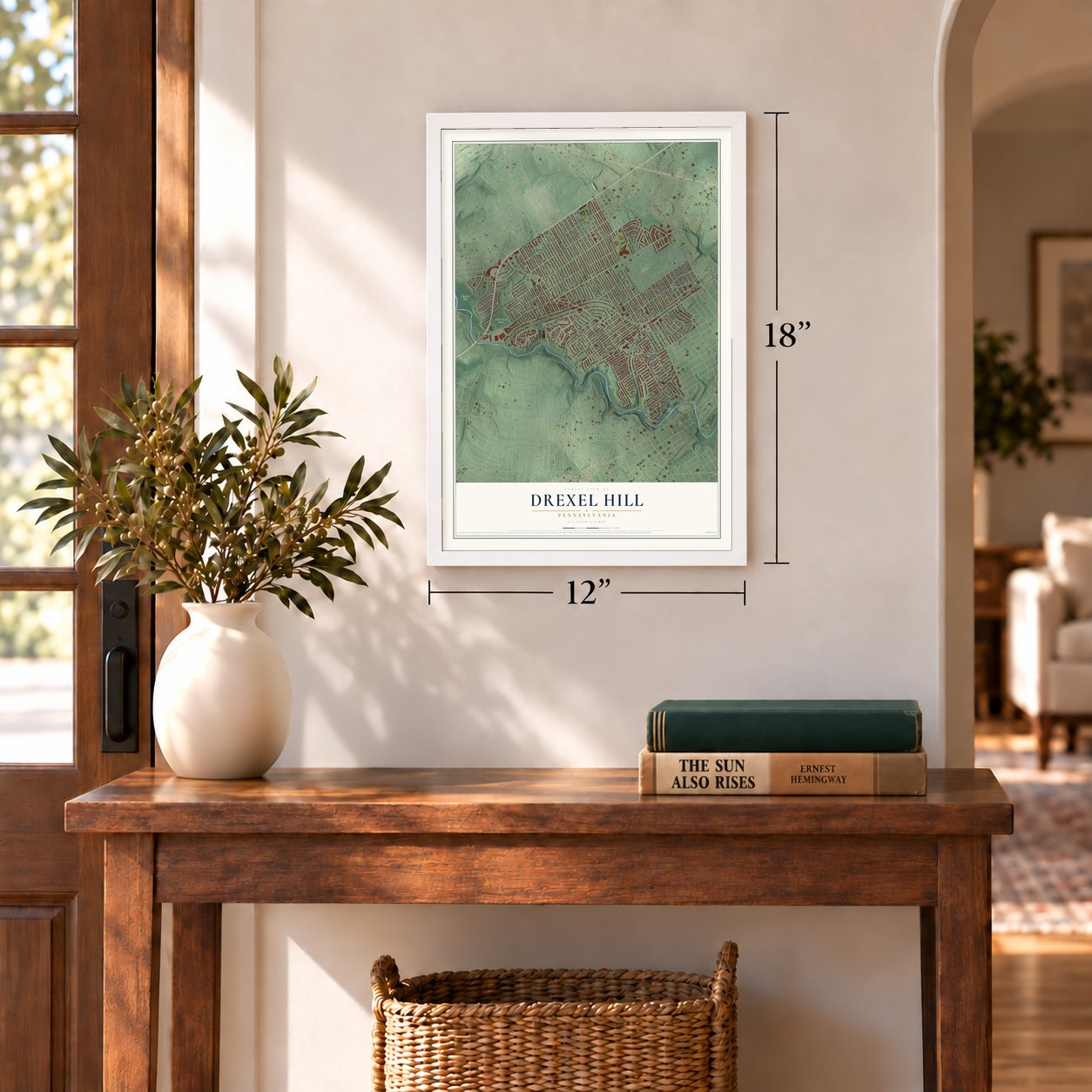
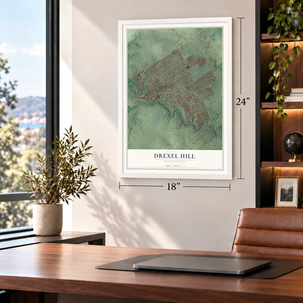
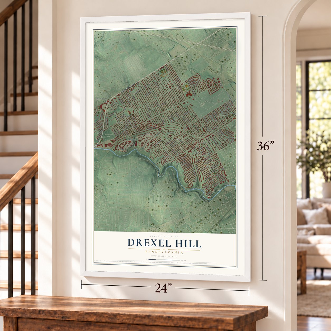
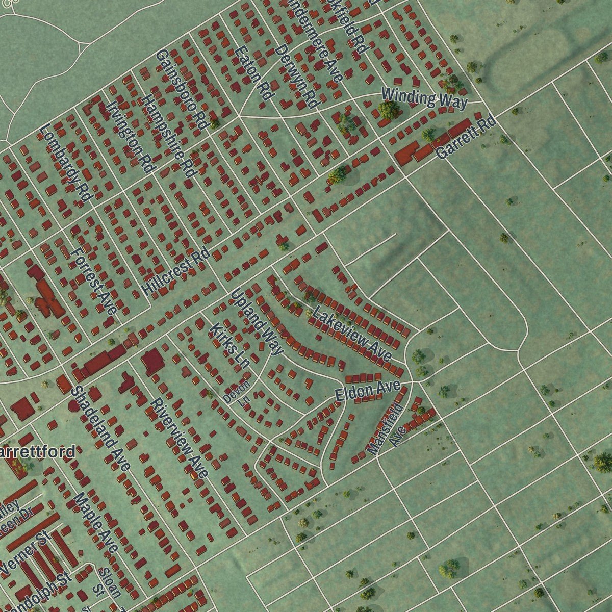
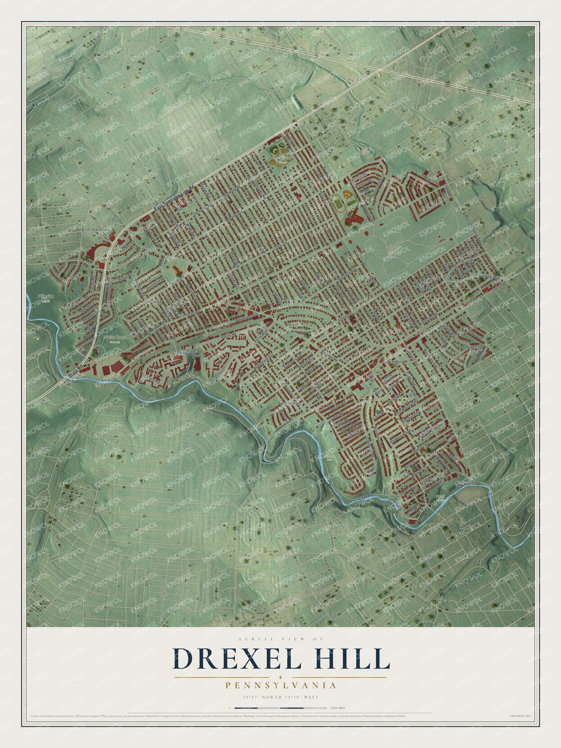
Explore Drexel Hill, Pennsylvania from a whole new perspective. Created using aerial imagery and detailed geographic data, this map captures Drexel Hill building by building, with labeled streets, familiar landmarks, and shaded topographical relief that highlights the natural contours of the landscape.
Combining modern data with the timeless character of a vintage atlas, this map is just as interesting up close as it is beautiful on the wall. Whether you grew up in Drexel Hill, spent memorable years there, or call it home today, this unique map is a great way to celebrate a place that means something to you. Zoom in on the preview to look for your street, and then order a print to put your memories on the wall.
Three ways to hang it
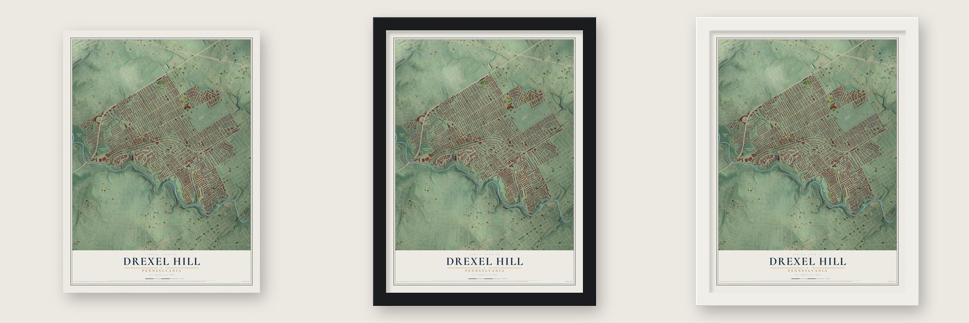
Unframed archival matte, a black wood frame or a white wood frame.
Up close
Geography Worth Displaying
This map was created using accurate cartographic data and authoritative geographic sources, including the U.S. Geological Survey and the Census Bureau. The map brings together terrain, waterways, roads, and building detail. The majority of the streets are labeled, houses are accurately depicted, and the topography is derived from government sources. Combining local data with carefully composed color and shading leads to this beautifully detailed Drexel Hill artwork for your wall.
Rather than simply showing street outlines, we’ve included as many of the street names as we could reasonably fit on the map while keeping their names legible. Zoom in on the high resolution preview to see exactly what’s on the map. We truly set out to create a statement piece for anyone who loves Drexel Hill. So whether it’s for you, or a gift for someone you love, we hope this map of Drexel Hill brings back fond memories.
Read the story behind this map of Drexel Hill, Pennsylvania from 2026.

Find your street
Names on the Drexel Hill map
Every name below is printed on this map. Look for your street, your school, the park where you played, or the pond down the road.
Places and landmarks11
- Arlington Cemetery
- Dermond Field
- Gillespie Park
- Pilgrim Park
- White Rock Woods
- Kent Park
- Addingham
- Aronimink
- Garrettford
- Kellyville
- Pilgrim Gardens
Streets and roads134
- State Road
- East Township Line Road
- Bridge Street
- Dennison Avenue
- Dermond Avenue
- Burmont Road
- Shadeland Avenue
- Childs Avenue
- Bond Avenue
- Edmonds Avenue
- Garrett Road
- Huey Avenue
- School Lane
- Wilde Avenue
- Ferne Boulevard
- Woodland Avenue
- Drexel Avenue
- Foss Avenue
- Cedar Lane
- Morgan Avenue
- Marvine Avenue
- Mason Avenue
- Dermond Road
- Turner Avenue
- Harper Avenue
- Fairfax Road
- Blythe Avenue
- Bloomfield Avenue
- West Marshall Road
- Alexander Avenue
Show all 134 streets
- Concord Avenue
- Ormond Avenue
- Cornell Avenue
- Lindale Avenue
- Rosemont Avenue
- Hillcrest Road
- North Lansdowne Avenue
- Anderson Avenue
- Revere Road
- Blanchard Road
- Windermere Avenue
- Pilgrim Lane
- Drexelbrook Drive
- Penn Avenue
- Berry Avenue
- Kenwood Road
- Lombardy Road
- Highland Avenue
- Irvington Road
- Albemarle Avenue
- Belfield Avenue
- Creek Road
- Taylor Avenue
- Brunswick Avenue
- Cheswold Road
- Eaton Road
- Plumstead Avenue
- Bryan Street
- Cobbs Street
- Valley Road
- Abbey Terrace
- Bonsall Avenue
- Roberts Avenue
- Derwyn Road
- Stanbridge Road
- Gainsboro Road
- Old Lane
- Mary Street
- Sommers Avenue
- Berkley Avenue
- Hampshire Road
- Upland Way
- Eldon Avenue
- Winding Way
- Stoneybrook Lane
- Collenbrook Avenue
- Lakeview Avenue
- Riverview Avenue
- Maple Avenue
- Forrest Avenue
- Pontiac Road
- Arrowhead Lane
- Argyle Road
- Vernon Road
- Mansion Road
- James Street
- Lasher Road
- Brookfield Road
- Apache Lane
- Kirks Lane
- Burnley Lane
- Clarendon Road
- Randolph Street
- Sylvia Road
- Anne Street
- Oleander Road
- Dayton Road
- Fairway Road
- Ellendale Road
- Smithfield Road
- Saint Charles Street
- Redden Road
- Brenton Road
- Aronimink Place
- Terwood Road
- Verner Street
- Steele Road
- Crest Road
- Evans Lane
- Reservation Road
- Mansfield Avenue
- Bella Vista Road
- Addingham Avenue
- Wildell Road
- Valley Green Drive
- Villa Road
- Fariston Drive
- Blythe Road
- Sloan Street
- Stratford Road
- Lanstate Road
- Marvine Road
- Jones Street
- Mc Coy Street
- Ashy Way
- Belle Vista Road
- Devon Lane
- Village Road
- Mill Lane
- Hiawatha Lane
- Tall Trees Lane
- Clark Street
- Warrior Road
- Station Road
Names are listed as they appear on the printed map. Zoom into the product photos to find them.
About Drexel Hill, Pennsylvania
Drexel Hill is a community of 29,181 people in Upper Darby Township, Delaware County, and more than a third of the township's residents live here. Abraham Lewis built a house and barn at Collen Brook Farm around 1710, and the land stayed with the Lewis family through the 1700s. In 1829 Dr. George Smith married Mary Lewis and came to live on the farm.
The Garrett family, among the first settlers in this part of the township, gave Garrett Road its name. Thomas Garrett, a Quaker, was born nearby at a farm called Riverview and lived at Thornfield before he moved to Wilmington, Delaware, in 1822. From there he worked with Harriet Tubman and William Still and sent people fleeing slavery north to his brothers, who sheltered them at Riverview, Fernland Farms and Thornfield. A court fined him, but he went on until he had helped 2,700 freedom seekers.
- Collen Brook FarmDr. George Smith, who lived at Collen Brook, served as a doctor, a judge and a state senator. In the Senate he wrote the 1836 act that created Pennsylvania's first public school code, and in 1862 he published a history of Delaware County. Upper Darby Township bought the farm in 1989 and opens it on Sundays from May through October. It is on the National Register.
- A marker for Thomas GarrettA state historical marker at the corner of Garrett Road and Maple Avenue honors Thomas Garrett. His Thornfield estate on the same corner passed in 1956 to Caroline and Walter Isard, Quakers who settled here after Walter started the University of Pennsylvania's Regional Science department.
- Upper Darby's first fire companyVolunteers formed the Garrettford Fire Company on January 25, 1907, the first fire company anywhere in Upper Darby. Now called Garrettford-Drexel Hill, it serves as Company 20 and is still the township's only full-time volunteer station.
- Dick Clark at the DrexelbrookFrom 1954 to 1956 Dick Clark rented at the Drexelbrook apartments while he hosted Barr's Diamond Theater and a WFIL radio show, before he took over American Bandstand. Ed McMahon also lived at the Drexelbrook before he joined Johnny Carson on Do You Trust Your Wife?
- Jim Croce and a Nobel chemistSinger Jim Croce was raised in the Bywood and Drexel Hill parts of the township, finished Upper Darby High in 1960, and in April 1976 became the first name on the school's Wall of Fame. Alan MacDiarmid, who shared the Nobel Prize for Chemistry in 2000, lived in Drexel Hill and is buried at Arlington Cemetery here.
Keep exploring Pennsylvania
Drexel Hill is one of 3,725 Pennsylvania towns we've mapped. Every dot on the map is a print of its own.
The search covers every state, Pennsylvania first.
Near Drexel Hill
Order 2 or more town maps and save 10%. Shown in the size and finish you picked above, so they hang as a set.
- Upper Darby 12" x 18" / Archival Matte Print $39.99
- Westbrook Park 12" x 18" / Archival Matte Print $39.99
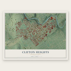
- Clifton Heights 12" x 18" / Archival Matte Print $39.99
More maps nearby: Beverly Hills, Lansdowne, Bywood, Manoa and Primos.
The art of mapping a place
How This Map Was Made
Real places. Remarkable detail. Discover the layers that turn geographic data into a map of home.

The view from above
Aerial imagery reveals the character of the land: woodland, open fields, and the patterns of a place.

The shape of the land
Elevation data brings hills, valleys, and subtle changes in the landscape into view.

The details of home
Roads, waterways, and building footprints come together to make the map feel unmistakably local.

Geography becomes art
Considered color, shading, and typography bring the layers together in a map made for your wall.


Process illustrated with Mendon, Massachusetts. Aerial imagery: USDA NAIP. Terrain: USGS 3D Elevation Program. Map details and finished artwork: KNOWOL.
The Details
About This Print
Choose an archival matte print, or a black or white Ayous wood frame. The archival matte print is unframed.
Select your size and finish above to see the matching product image and price.
Materials & Craftsmanship
A contemporary map with the character of a classic atlas, printed on archival matte paper. Optional frames are made from Ayous wood.
Your printed map does not include the watermark shown in the full-map preview.
Shipping & Delivery
Free shipping within the United States. Every print is made to order in the USA.
Buying a gift? Add a note in your cart and we'll include it. We never put prices in the package.
Prints ship within 2 to 3 business days. Allow 7 to 10 days total from ordering for delivery. Timing may vary during holidays or periods of high order volume.
Read our shipping policy.
Returns and damaged prints
Each print is made to order. Change-of-mind refunds are not available after production.
If your print arrives damaged, misprinted or incorrect, contact support@knowol.com within 30 days of receiving it. Include your order number, photos and a description of the issue.
Read our full refund and replacement policy. For questions about your order, email support@knowol.com.