
Search for another town




Free U.S. delivery 7 to 10 days after you order
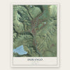
Durango, Colorado Map Art
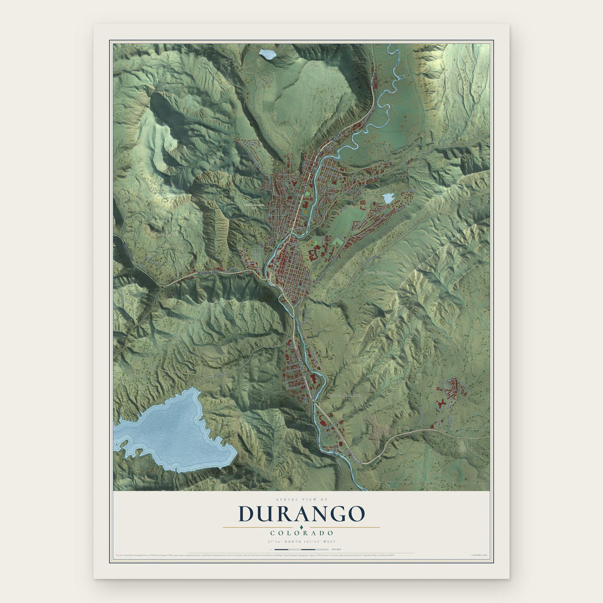
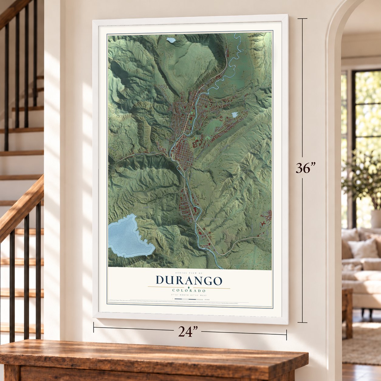
A new map of Durango, Colorado, made in 2026 and printed to order on thick archival matte paper.
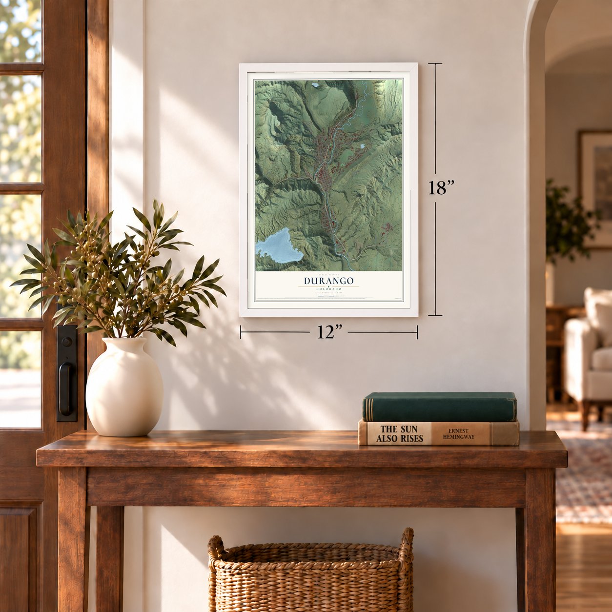
12" x 18" Archival Matte Print
A Map of Home. A Work of Art.
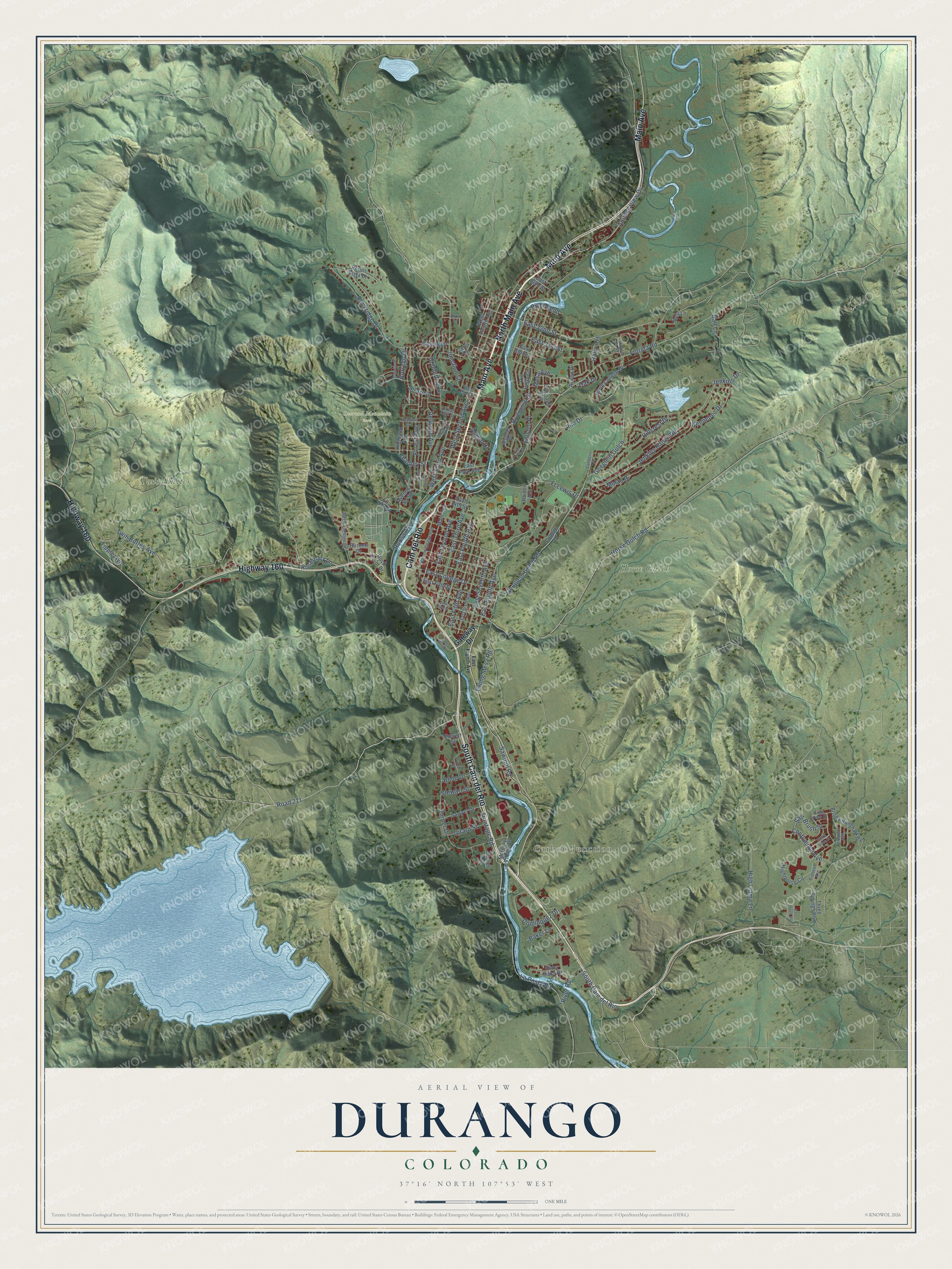
Explore Durango, Colorado from a whole new perspective. Created using aerial imagery and detailed geographic data, this map captures Durango building by building, with labeled streets, familiar landmarks, and shaded topographical relief that highlights the natural contours of the landscape.
Combining modern data with the timeless character of a vintage atlas, this map is just as interesting up close as it is beautiful on the wall. Whether you grew up in Durango, spent memorable years there, or call it home today, this unique map is a great way to celebrate a place that means something to you. Zoom in on the preview to look for your street, and then order a print to put your memories on the wall.
Three ways to hang it
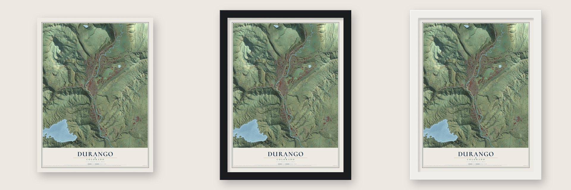
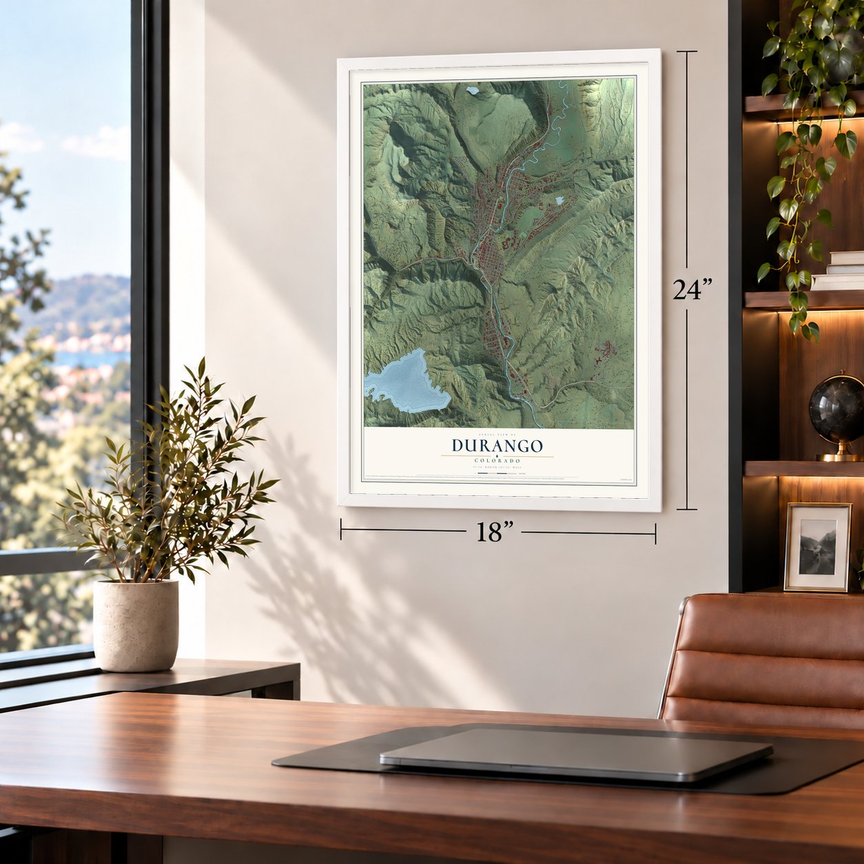
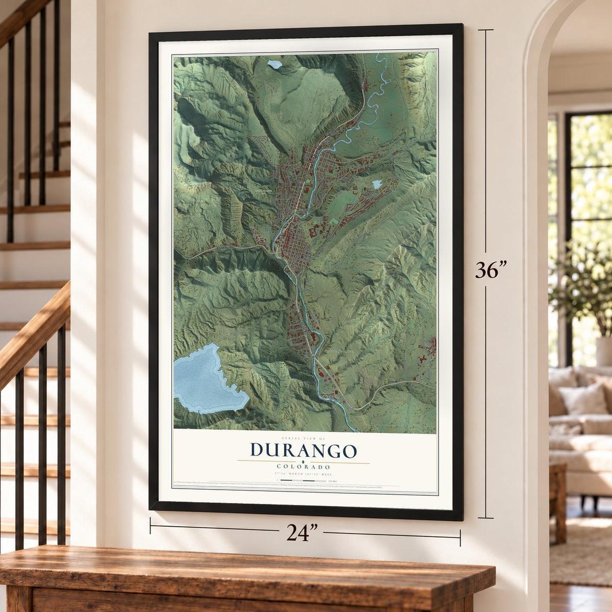
Unframed archival matte, a black wood frame or a white wood frame.
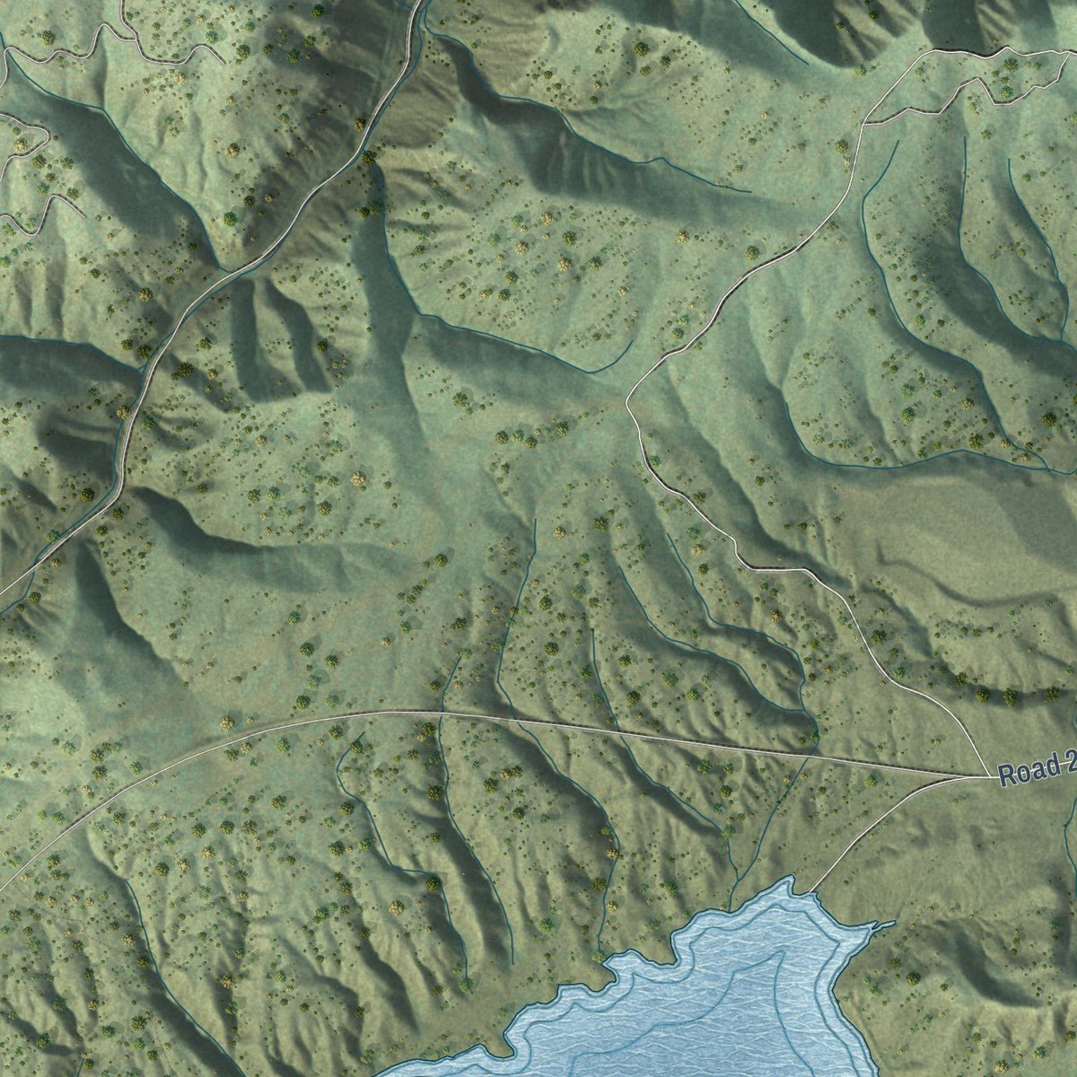
Up close
Geography Worth Displaying
This map was created using accurate cartographic data and authoritative geographic sources, including the U.S. Geological Survey and the Census Bureau. The map brings together terrain, waterways, roads, and building detail. The majority of the streets are labeled, houses are accurately depicted, and the topography is derived from government sources. Combining local data with carefully composed color and shading leads to this beautifully detailed Durango artwork for your wall.
Rather than simply showing street outlines, we’ve included as many of the street names as we could reasonably fit on the map while keeping their names legible. Zoom in on the high resolution preview to see exactly what’s on the map. We truly set out to create a statement piece for anyone who loves Durango. So whether it’s for you, or a gift for someone you love, we hope this map of Durango brings back fond memories.
Read the story behind this map of Durango, Colorado from 2026.
About Durango, Colorado
Durango is a city of 19,071 people and the seat of La Plata County, in the Animas Valley. Ute people lived here first. The Denver and Rio Grande Railroad organized the town between September 1880 and April 1881, while its San Juan Extension pushed from Alamosa toward Silverton and the mines of the San Juan district. The railroad set its yards beside the Animas River, two miles south of the older settlement of Animas City.
Durango got its own post office on November 19, 1880, and was incorporated on April 27, 1881. William Jackson Palmer, the railroad's president, and partners such as William Bell formed the Durango Trust to sell lots and lay out a Main Street and numbered avenues, much as Palmer had planned Colorado Springs. Lot sales soared once the Silverton Branch was finished, and by 1885 the business district held seven hotels and restaurants, eleven saloons and two bakeries.
- Named for Durango, MexicoFormer Colorado governor Alexander C. Hunt, a friend of Palmer, chose the name. He had made a scouting trip to Mexico for Palmer and came home with a good opinion of the city of Durango. Today Durango, Mexico, is one of the town's two sister cities, along with Durango, Spain.
- Rails, ore and a smelterThe railroads hauled produce and ore in and out of southwestern Colorado, and together with the Durango Smelter they carried the town's economy. The Depression and the years after World War II cut into that trade. The Rio Grande Southern lost its mail contract in 1951 and soon shut down, and the D&RGW dropped its San Juan Express passenger train to Alamosa.
- The Silverton train since 1981The scenery on the Silverton Branch had already made it a tourist draw, and Hollywood came to La Plata County for a time. When freight ended in 1968, the tracks to Chama and Farmington were torn up, but the Silverton line kept running. In 1981 it changed hands, and the new owners ran it as the Durango & Silverton Narrow Gauge Railroad. The D&RGW's Locomotive No. 315 joined the National Register in 2008.
- Racing the train since 1972The Iron Horse Bicycle Classic began in 1972. Each year riders from around the world pedal the 61-mile road race from Durango to Silverton, trying to beat the narrow gauge train there.
- Snowdown every winterDurango's midwinter festival, Snowdown, runs for five days of contests, costumes and a Parade of Lights. Since 1983 every year's festival has had a theme of its own.
Find your street
Names on the Durango map
Every name below is printed on this map. Look for your street, your school, the park where you played, or the pond down the road.
Places and landmarks4
- Carbon Junction
- Horse Gulch
- Overend Mountain Park
- Twin Buttes
Streets and roads115
- Main Avenue
- South Cam del Rio
- Highway 160
- Cam del Rio
- North Main Avenue
- Borrego Drive
- East 32nd Street
- Frontage Road
- La Posta Road
- Turner Drive
- East College Drive
- Kearney Street
- Jenkins Ranch Road
- Geoglein Gulch Road
- Confluence Avenue
- East Fourth Avenue
- Goeglein Gulch
- Rosemary Lane
- Florida Road
- Rim Drive
- Horse Gulch Road
- East Second Avenue
- West Second Avenue
- East Third Avenue
- Ewing Mesa Road
- East Eighth Avenue
- Animas View Drive
- East Fifth Avenue
- West Third Avenue
- Twin Buttes Avenue
Show all 115 streets
- Delwood Avenue
- Rockridge Drive
- Riverview Drive
- Roosa Avenue
- Road 211
- Forest Avenue
- East Seventh Avenue
- Sawmill Road
- Hillcrest Drive
- Junction Street
- East 31st Street
- Dominquez Drive
- Columbine Drive
- High Llama Lane
- Ball Lane
- Kennebec Drive
- Salt Brush Street
- Ft Lewis Drive
- Clovis Drive
- River Road
- River Bend
- Girard Street
- Tipple Avenue
- Jenkins Drive
- Mesa Avenue
- Folsom Place
- Stewart Street
- Holly Avenue
- Bodo Drive
- Oak Drive
- Alamo Drive
- Molas Drive
- Baker Lane
- Gateway Drive
- West Fourth Avenue
- College Drive
- Highland Avenue
- Nighthorse Circle
- North College Drive
- Bocea Ranch Parkway
- East Fifth Street
- Arroyo Drive
- Three Springs Boulevard
- Rio Vista Circle
- Tech Center Drive
- Sawyer Drive
- Avenue del Sol
- Mercury Village Drive
- East 30th Street
- Colorado Avenue
- Metz Lane
- Perins Vista Drive
- Rock Point Drive
- River Oaks Drive
- East Park Avenue
- Burnett Drive
- Aspen Drive
- Carol Drive
- Animas Place
- Raider Avenue
- East 14th Street
- Parker Avenue
- Ella Vita Court
- Everett Street
- East 36th Street
- Suttle Street
- West 25th Street
- East Sixth Avenue
- Narrow Guage Avenue
- Prospect Avenue
- Pioneer Avenue
- Sanborn Place
- Sage View Street
- West 23rd Street
- Conejo Place
- Quazar Street
- Crestview Drive
- Eastlawn Avenue
- Montview Parkway
- East Third Street
- East Owen Road
- La Plata Place
- Sierra Vista Street
- Santa Rita Drive
- Birket Drive
Names are listed as they appear on the printed map. Zoom into the product photos to find them.
The art of mapping a place
How This Map Was Made
Real places. Remarkable detail. Discover the layers that turn geographic data into a map of home.

The view from above
Aerial imagery reveals the character of the land: woodland, open fields, and the patterns of a place.

The shape of the land
Elevation data brings hills, valleys, and subtle changes in the landscape into view.

The details of home
Roads, waterways, and building footprints come together to make the map feel unmistakably local.

Geography becomes art
Considered color, shading, and typography bring the layers together in a map made for your wall.


Process illustrated with Mendon, Massachusetts. Aerial imagery: USDA NAIP. Terrain: USGS 3D Elevation Program. Map details and finished artwork: KNOWOL.
The Details
About This Print
Choose an archival matte print, or a black or white Ayous wood frame. The archival matte print is unframed.
Select your size and finish above to see the matching product image and price.
Materials & Craftsmanship
A contemporary map with the character of a classic atlas, printed on archival matte paper. Optional frames are made from Ayous wood.
Your printed map does not include the watermark shown in the full-map preview.
Shipping & Delivery
Free shipping within the United States. Every print is made to order in the USA.
Buying a gift? Add a note in your cart and we'll include it. We never put prices in the package.
Prints ship within 2 to 3 business days. Allow 7 to 10 days total from ordering for delivery. Timing may vary during holidays or periods of high order volume.
Read our shipping policy.
Returns and damaged prints
Each print is made to order. Change-of-mind refunds are not available after production.
If your print arrives damaged, misprinted or incorrect, contact support@knowol.com within 30 days of receiving it. Include your order number, photos and a description of the issue.
Read our full refund and replacement policy. For questions about your order, email support@knowol.com.
Find your town
Looking for another city?
Find a map of home in our Colorado collection, or any town in the country.
Nearby
Maps of towns near Durango
Know someone from one of these towns? Their map makes a great gift.
 Bayfield
, Colorado
From $39.99See the map
 Ignacio
, Colorado
From $39.99See the map
 Marvel
, Colorado
From $39.99See the map
More maps nearby: Southern Ute, Mancos, Arboles, Rico and Dolores.