
Search for another town


Free U.S. delivery 7 to 10 days after you order
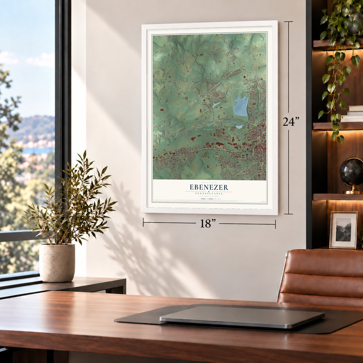
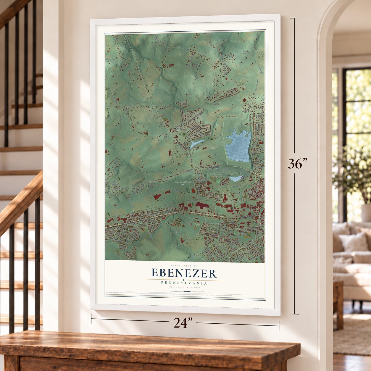
Ebenezer, Pennsylvania Map Art
Building by building, with labeled streets and shaded relief.
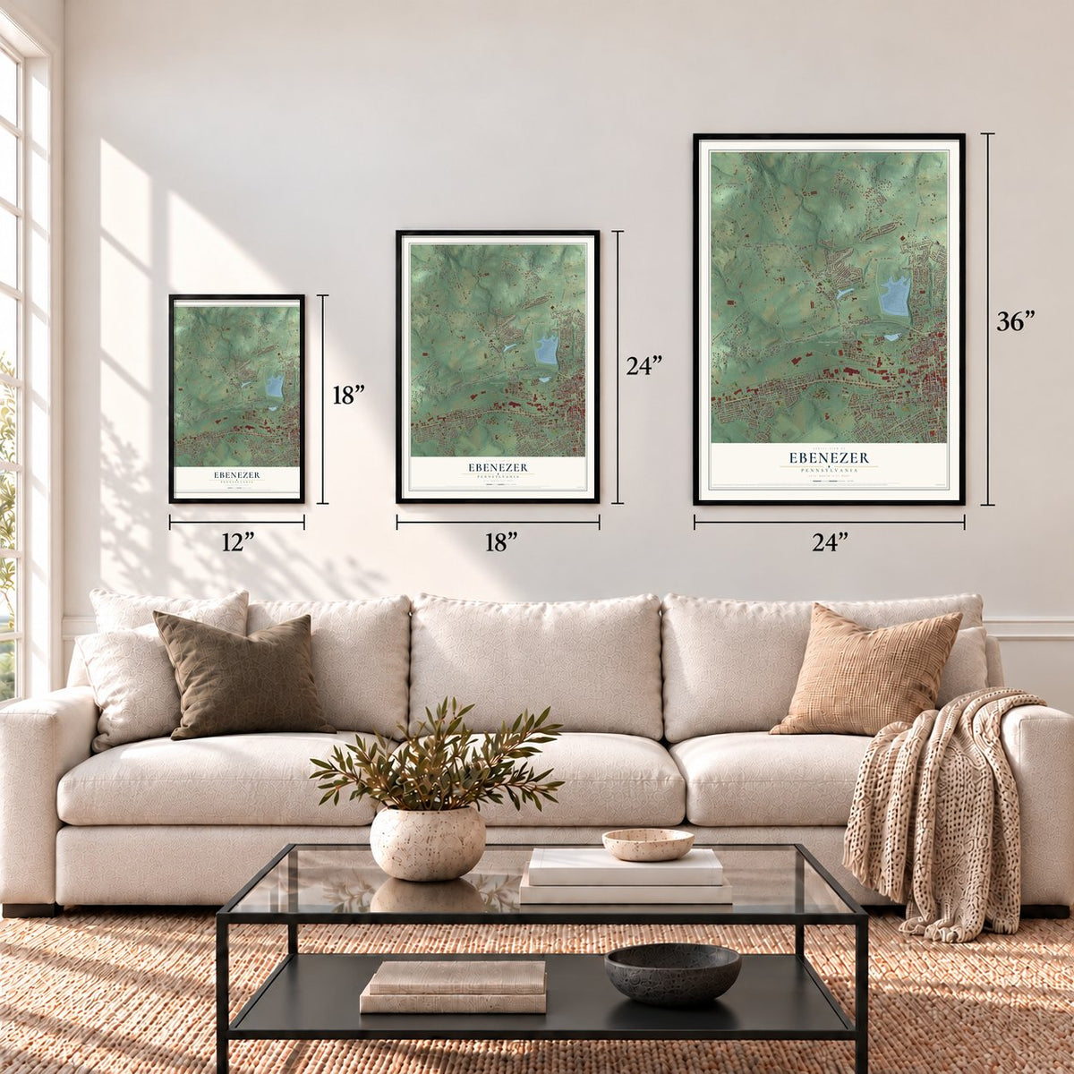
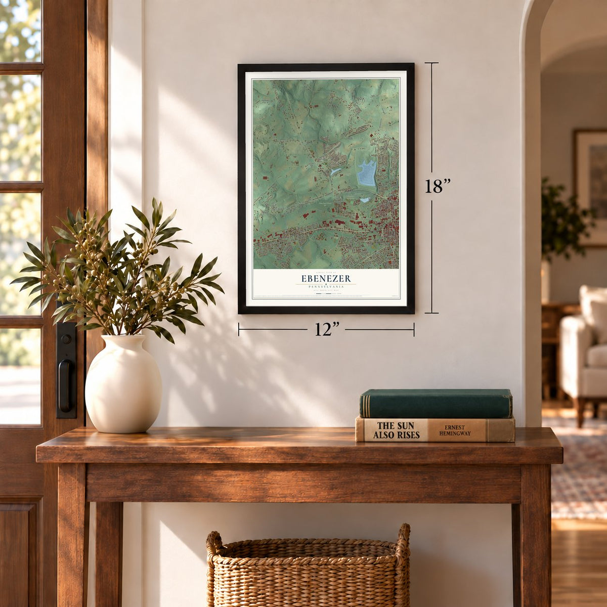
12" x 18" Archival Matte Print
A Map of Home. A Work of Art.
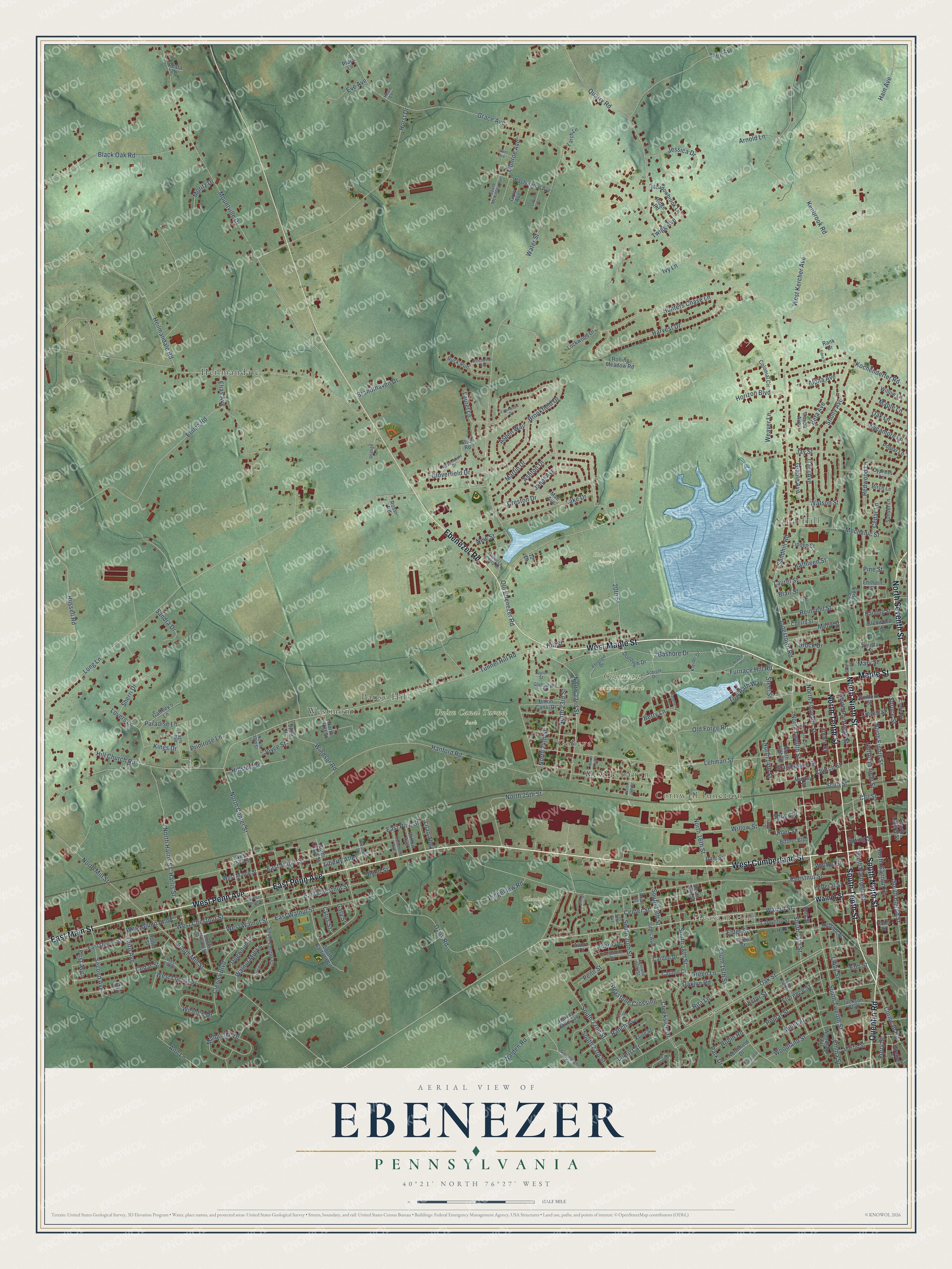
Explore Ebenezer, Pennsylvania from a whole new perspective. Created using aerial imagery and detailed geographic data, this map captures Ebenezer building by building, with labeled streets, familiar landmarks, and shaded topographical relief that highlights the natural contours of the landscape.
Combining modern data with the timeless character of a vintage atlas, this map is just as interesting up close as it is beautiful on the wall. Whether you grew up in Ebenezer, spent memorable years there, or call it home today, this unique map is a great way to celebrate a place that means something to you. Zoom in on the preview to look for your street, and then order a print to put your memories on the wall.
Three ways to hang it
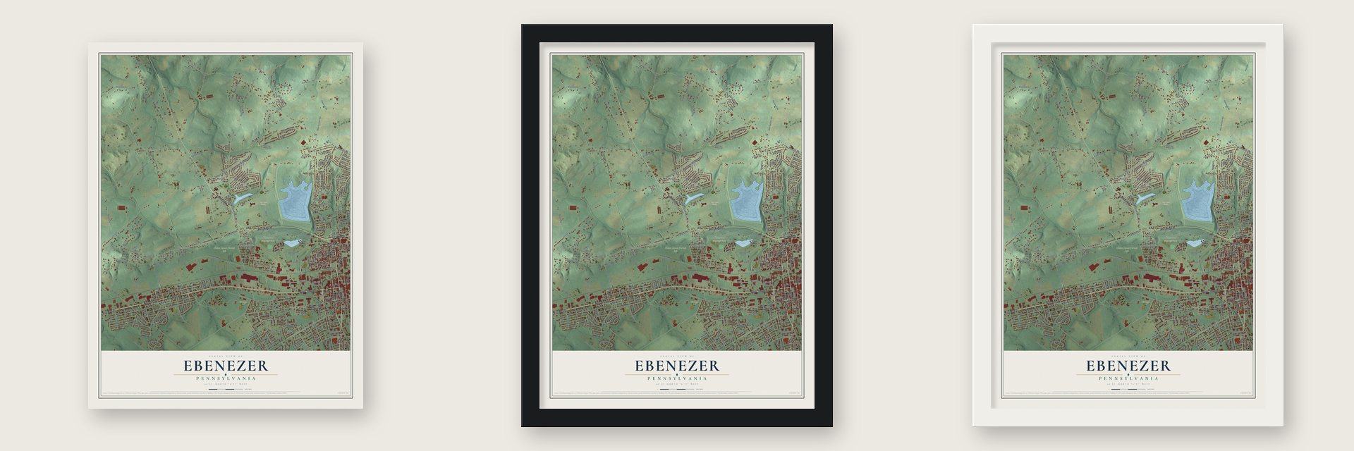
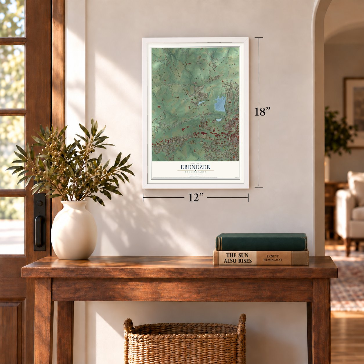
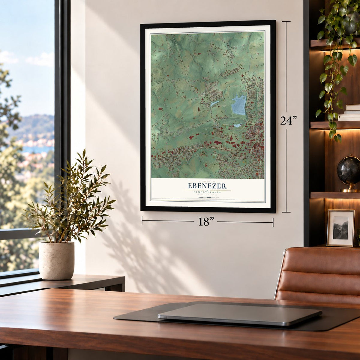
Unframed archival matte, a black wood frame or a white wood frame.
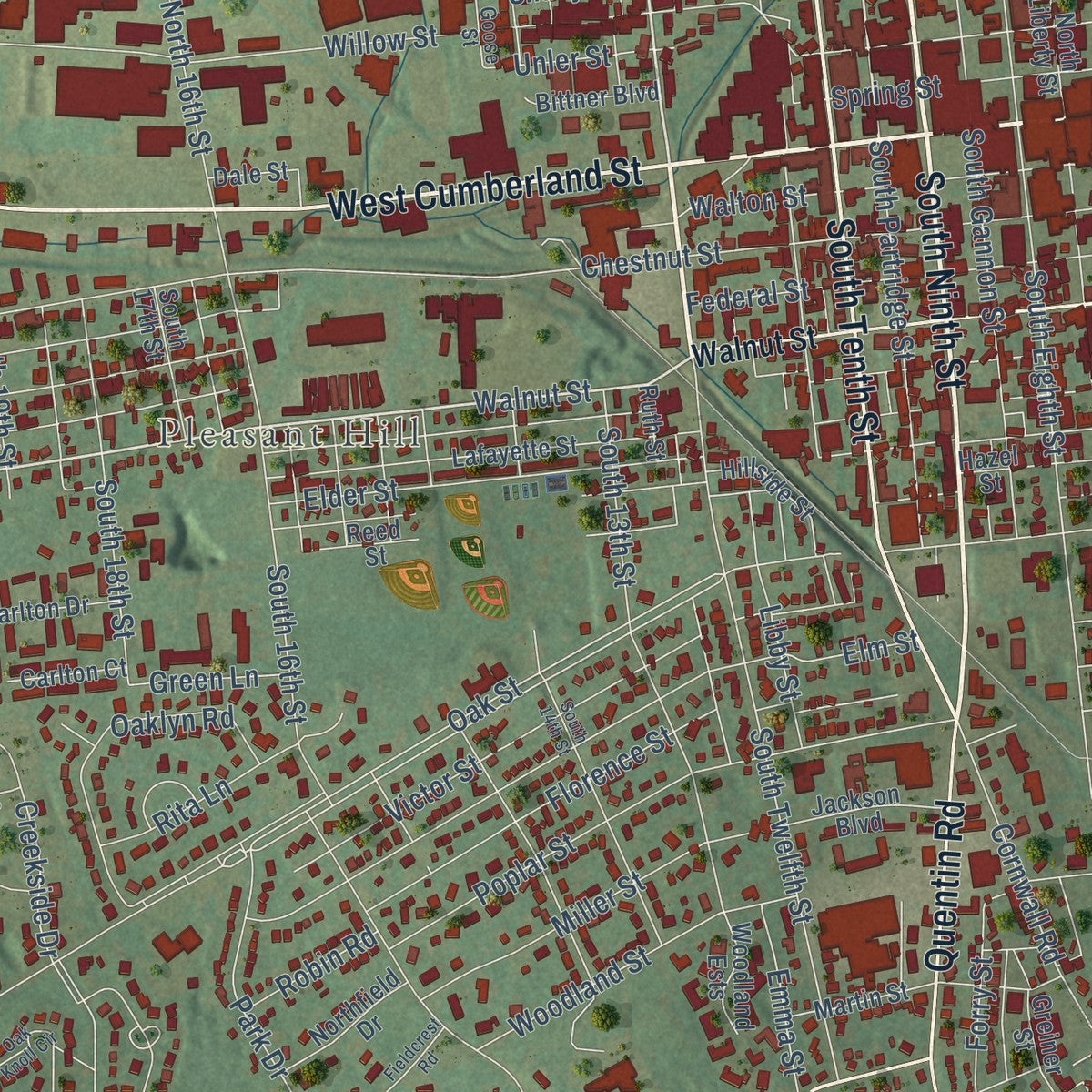
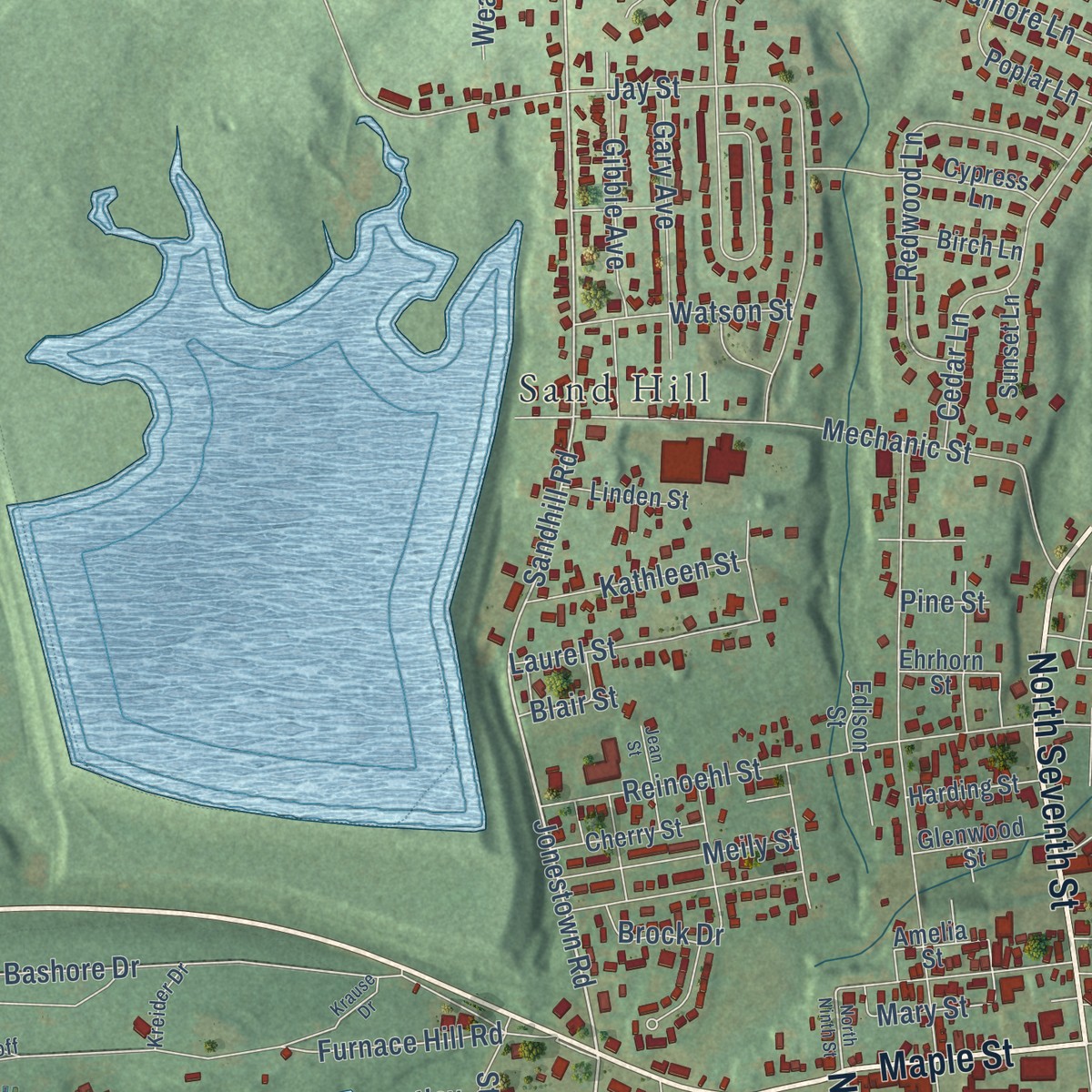
Up close
Geography Worth Displaying
This map was created using accurate cartographic data and authoritative geographic sources, including the U.S. Geological Survey and the Census Bureau. The map brings together terrain, waterways, roads, and building detail. The majority of the streets are labeled, houses are accurately depicted, and the topography is derived from government sources. Combining local data with carefully composed color and shading leads to this beautifully detailed Ebenezer artwork for your wall.
Rather than simply showing street outlines, we’ve included as many of the street names as we could reasonably fit on the map while keeping their names legible. Zoom in on the high resolution preview to see exactly what’s on the map. We truly set out to create a statement piece for anyone who loves Ebenezer. So whether it’s for you, or a gift for someone you love, we hope this map of Ebenezer brings back fond memories.
Read the story behind this map: Detailed Map of Ebenezer, Pennsylvania.
Find your street
Names on the Ebenezer map
Every name below is printed on this map. Look for your street, your school, the park where you played, or the pond down the road.
Places and landmarks12
- Pleasant Hill
- Coleman Memorial Park
- Gloninger Park
- Holy Cross Cemetery
- Union Canal Tunnel Park
- Heilmandale
- Sand Hill
- Westmont
- Cornwall Junction
- Coheva
- Pansy Hill
- West Lebanon
Streets and roads294
- West Cumberland Street
- West Maple Street
- North Ninth Street
- South Ninth Street
- North Seventh Street
- Maple Street
- East Penn Avenue
- East Main Street
- North Tenth Street
- South Tenth Street
- Ebenezer Road
- West Penn Avenue
- Quentin Road
- Walnut Street
- North Twelfth Street
- Jonestown Road
- North Partridge Street
- West Walnut Street
- Tunnel Hill Road
- North Center Street
- North 22nd Street
- Sandhill Road
- Oak Street
- Jones Street
- Spring Street
- Willow Street
- East Walnut Street
- Spruce Street
- East Pine Street
- 20th Street
Show all 294 streets
- Furnace Hill Road
- Mary Street
- Grace Avenue
- Jay Street
- Water Street
- Long Lane
- Chestnut Street
- Heilmandale Road
- Lehman Street
- Mountville Drive
- Russell Road
- North Eighth Street
- Brookfield Drive
- Church Street
- South Mill Street
- South 22nd Street
- Dairy Road
- Emma Road
- Hanford Road
- Horst Drive
- Kenbrook Road
- North Mill Street
- West Kercher Avenue
- South 16th Street
- North 25th Street
- Bashore Drive
- Quarry Road
- Poplar Street
- Creekside Drive
- Hain Avenue
- Hill Church Road
- Federal Street
- Ashton Drive
- Sholly Avenue
- Elm Street
- Liberty Alley
- South Twelfth Street
- North Gannon Street
- North 16th Street
- Black Oak Road
- South Eighth Street
- Hunters Chase Lane
- Hill Street
- Millbridge Drive
- North Eleventh Street
- Troy Avenue
- East Maple Street
- West Union Alley
- West Chestnut Street
- Martin Drive
- Victor Street
- Center Street
- Scull Street
- Harvest Drive
- Old Forge Road
- Mechanic Street
- Kochenderfer Road
- Reinoehl Street
- Florence Street
- South 13th Street
- Locust Street
- East Chestnut Street
- Jessica Drive
- Elias Avenue
- West Locust Street
- Cleona Boulevard
- Walton Street
- North Harris Street
- Creston Drive
- Walden Road
- Miller Street
- Elder Street
- Ranch Avenue
- Redwood Lane
- Lake Drive
- Twigg Avenue
- South Gannon Street
- Horizon Boulevard
- Cedar Street
- South Partridge Street
- Union Street
- Oaklyn Road
- North 24th Street
- Ridgeview Road
- South 18th Street
- Cedar Lane
- Primrose Lane
- Emma Street
- Wilshire Drive
- Woodland Street
- Penn Street
- North 23rd Street
- Brandywine Street
- Sycamore Lane
- Cloverfield Drive
- Cornwall Road
- North 14th Street
- Monroe Avenue
- Old Ebenezer Road
- First Avenue
- Watson Street
- Windsor Road
- Janet Avenue
- Beta Avenue
- Lovers Lane
- Rita Lane
- South 20th Street
- Second Avenue
- Hillside Drive
- Dogwood Lane
- Gary Avenue
- Gibble Avenue
- Greystone Crossing
- Libby Street
- Park Drive
- Laurel Street
- Weaver Lane
- Sherri Drive
- Joyce Street
- Oak Lane
- Meily Street
- Alpha Avenue
- Kings Drive
- Forry Street
- Aspen Way
- Ann Lane
- Paradise Lane
- Kathleen Street
- Third Avenue
- Arnold Lane
- Walnut Mill Lane
- Brandthaven Drive
- Sandra Drive
- South 23rd Street
- Eve Avenue
- South 19th Street
- Harris Street
- Unler Street
- Tow Path Way
- C&l Street
- New Street
- Berry Lane
- Ivy Lane
- Acorn Drive
- Moritz Drive
- Green Lane
- Robin Road
- Maple Lane
- Steel Street
- Lilac Alley
- Brock Drive
- Laurel Lane
- Shuey Street
- Cyrus Street
- Pine Street
- Blair Street
- Gary Street
- South Center Street
- Donough Drive
- Amelia Street
- Guilford Street
- Crowell Street
- South Garfield Street
- Lafayette Street
- Colonial Circle
- Linden Street
- Washington Avenue
- Rolling Meadow Road
- South Wilson Street
- Union Canal Drive
- Cypress Lane
- Cherry Street
- Meadowbrook Lane
- Kline Street
- Cappa Avenue
- North 13th Street
- Carlton Drive
- East Queen Street
- Mae Avenue
- Murray Street
- Ridge Road
- Poplar Lane
- Todd Court
- Johns Avenue
- Jackson Boulevard
- Edison Street
- North Cyrus Street
- Northfield Drive
- South 17th Street
- Gaffney's Lane
- Martin Street
- Lockwood Drive
- Harvey John Avenue
- Hoffer Street
- North Liberty Street
- Glenwood Street
- Harding Street
- Bittner Boulevard
- Hazel Street
- Woodland Ests
- Dale Street
- Willow Lane
- Willow Avenue
- Larch Lane
- Hillside Street
- Carlton Court
- Birch Lane
- Sunset Lane
- Buck Run
- Greiner Street
- Ehrhorn Street
- North 31st Street
- West Pine Street
- Groy Avenue
- Rossi Road
- 32nd Street
- Rank Drive
- Acorn Court
- Ruth Street
- Arch Street
- Reed Street
- Pesta Lane
- Stub Road
- Plum Lane
- 12' Drive
- Highland Glen Street
- Taylor Street
- West Union Street
- Decatur Street
- Schroff Drive
- Rebecca Perry Street
- Ehrgood Drive
- Stoneleigh Drive
- Elizabeth Street
- Eagle Avenue
- Chapel Street
- West Elm Street
- Greystone Drive
- 21st Street
- Glonninger Street
- South McKinley Avenue
- Rosemont Avenue
- Kreider Drive
- North 33rd Street
- John Avenue
- Goose Street
- Orange Lane
- Heart Lane
- South 14th Street
- Oak Knoll Circle
- Winchester Circle
- Meadowfield Drive
- North 19th Street
- North 21st Street
- Krause Drive
- Natalie Lane
- Village Court
- Lincoln Street
- Fawnwood Drive
- Fieldcrest Road
- Raspberry Lane
- Edna Street
- Grant Avenue
- Jean Street
Names are listed as they appear on the printed map. Zoom into the product photos to find them.
Keep exploring Pennsylvania
Ebenezer is one of 3,725 Pennsylvania towns we've mapped. Every dot on the map is a print of its own.
The search covers every state, Pennsylvania first.
Near Ebenezer
Order 2 or more town maps and save 10%. Shown in the size and finish you picked above, so they hang as a set.
- West Lebanon 12" x 18" / Archival Matte Print $39.99
- Pleasant Hill 12" x 18" / Archival Matte Print $39.99
- Cleona 12" x 18" / Archival Matte Print $39.99


More maps nearby: Sand Hill, North Lebanon, Lebanon, North Cornwall and Annville.
The art of mapping a place
How This Map Was Made
Real places. Remarkable detail. Discover the layers that turn geographic data into a map of home.

The view from above
Aerial imagery reveals the character of the land: woodland, open fields, and the patterns of a place.

The shape of the land
Elevation data brings hills, valleys, and subtle changes in the landscape into view.

The details of home
Roads, waterways, and building footprints come together to make the map feel unmistakably local.

Geography becomes art
Considered color, shading, and typography bring the layers together in a map made for your wall.


Process illustrated with Mendon, Massachusetts. Aerial imagery: USDA NAIP. Terrain: USGS 3D Elevation Program. Map details and finished artwork: KNOWOL.
The Details
About This Print
Choose an archival matte print, or a black or white Ayous wood frame. The archival matte print is unframed.
Select your size and finish above to see the matching product image and price.
Materials & Craftsmanship
A contemporary map with the character of a classic atlas, printed on archival matte paper. Optional frames are made from Ayous wood.
Your printed map does not include the watermark shown in the full-map preview.
Shipping & Delivery
Free shipping within the United States. Every print is made to order in the USA.
Buying a gift? Add a note in your cart and we'll include it. We never put prices in the package.
Prints ship within 2 to 3 business days. Allow 7 to 10 days total from ordering for delivery. Timing may vary during holidays or periods of high order volume.
Read our shipping policy.
Returns and damaged prints
Each print is made to order. Change-of-mind refunds are not available after production.
If your print arrives damaged, misprinted or incorrect, contact support@knowol.com within 30 days of receiving it. Include your order number, photos and a description of the issue.
Read our full refund and replacement policy. For questions about your order, email support@knowol.com.