
Search for another town




Free U.S. delivery 7 to 10 days after you order
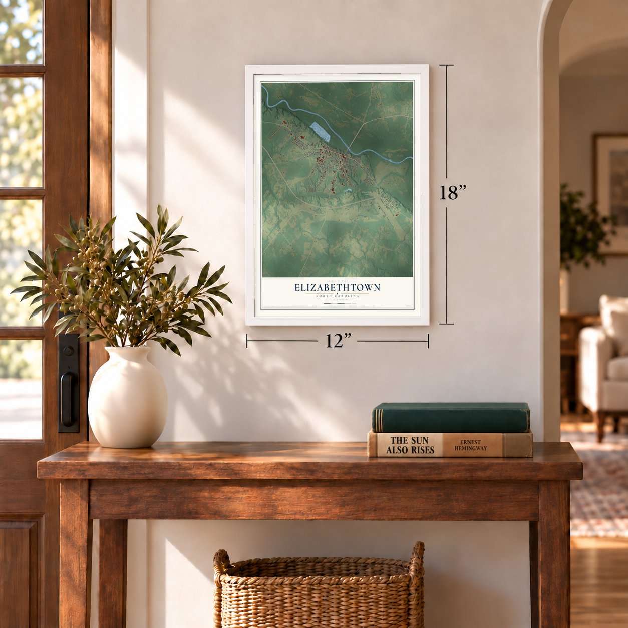
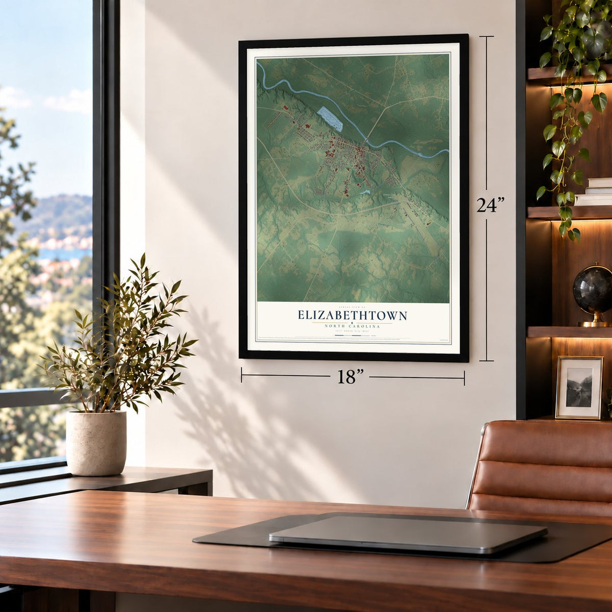
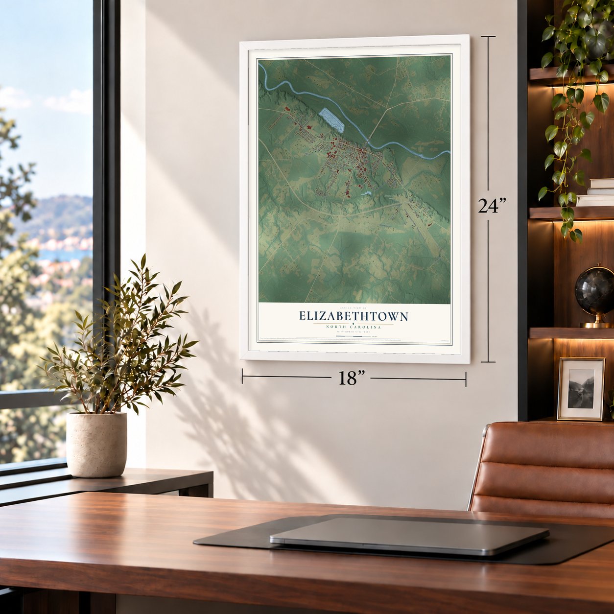
Elizabethtown, North Carolina Map Art
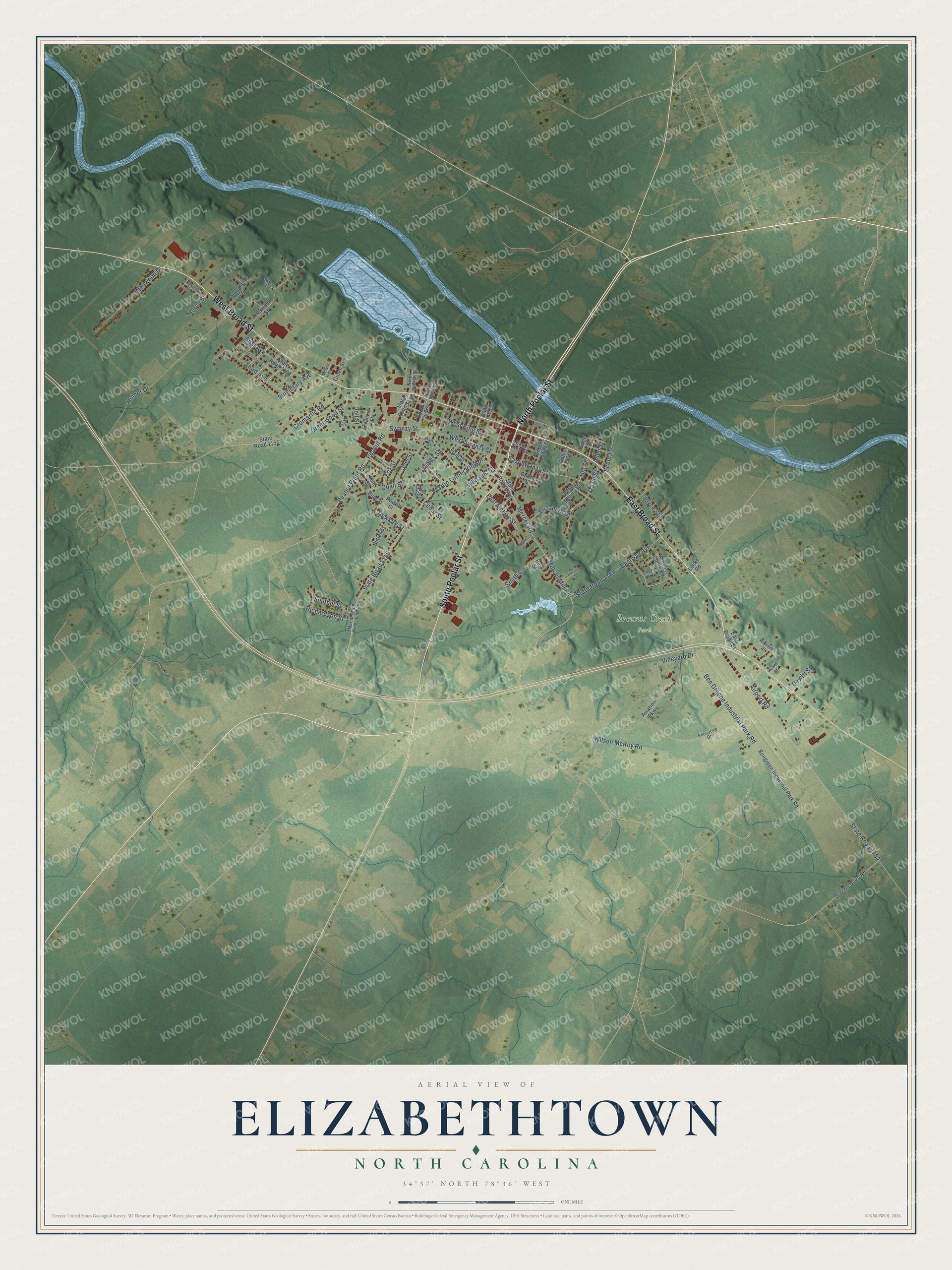
A new map of Elizabethtown, North Carolina, made in 2026 and printed to order on thick archival matte paper.
12" x 18" Archival Matte Print
A Map of Home. A Work of Art.
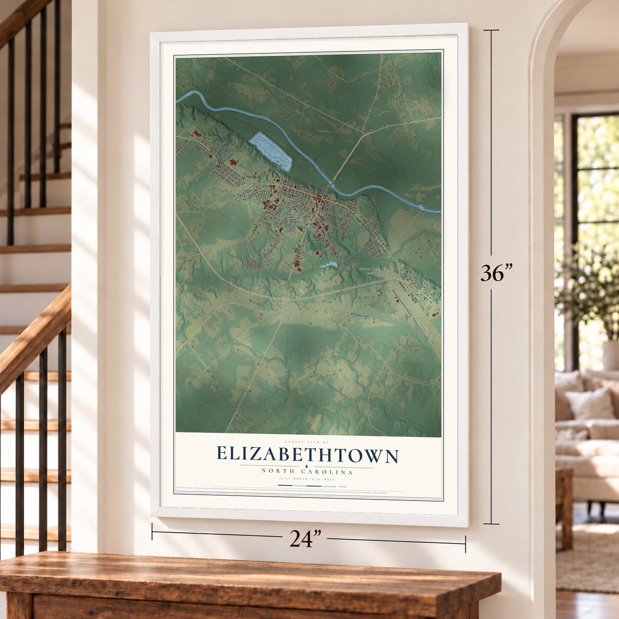
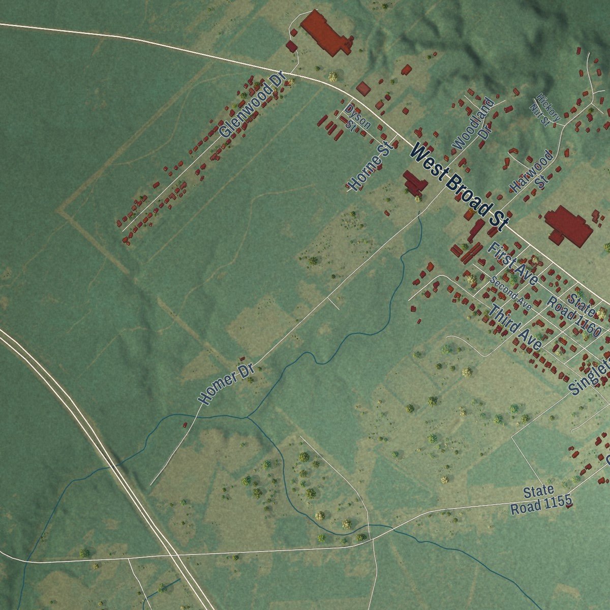
Explore Elizabethtown, North Carolina from a whole new perspective. Created using aerial imagery and detailed geographic data, this map captures Elizabethtown building by building, with labeled streets, familiar landmarks, and shaded topographical relief that highlights the natural contours of the landscape.
Combining modern data with the timeless character of a vintage atlas, this map is just as interesting up close as it is beautiful on the wall. Whether you grew up in Elizabethtown, spent memorable years there, or call it home today, this unique map is a great way to celebrate a place that means something to you. Zoom in on the preview to look for your street, and then order a print to put your memories on the wall.
Three ways to hang it
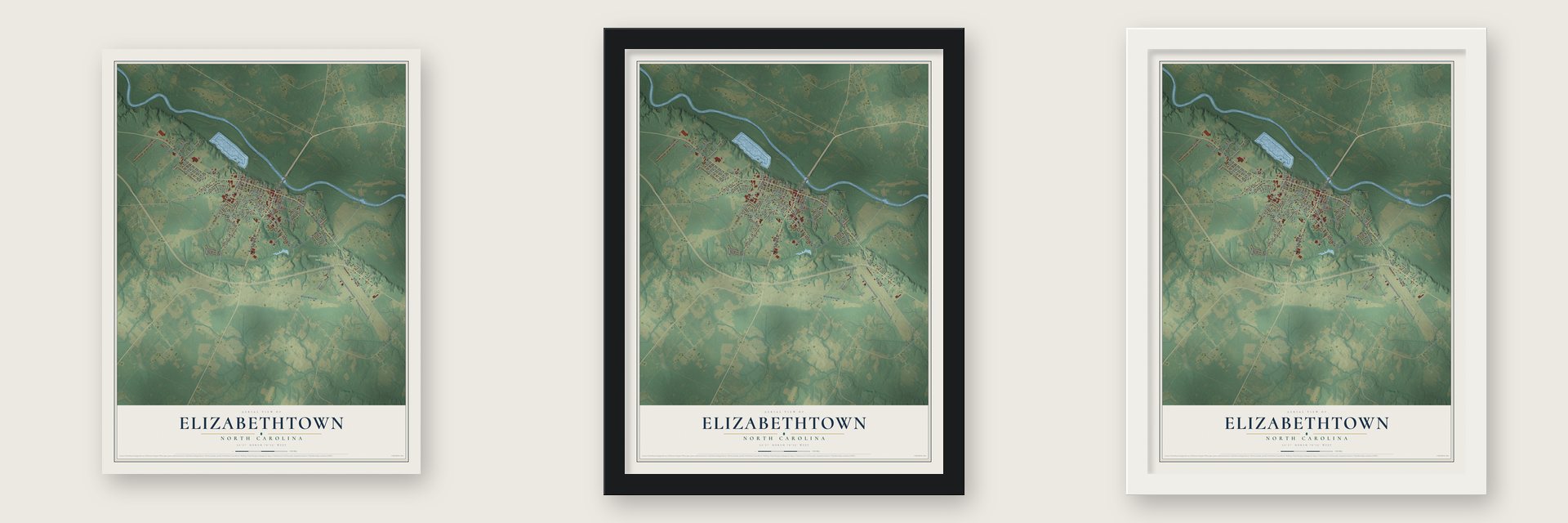
Unframed archival matte, a black wood frame or a white wood frame.
Up close
Geography Worth Displaying
This map was created using accurate cartographic data and authoritative geographic sources, including the U.S. Geological Survey and the Census Bureau. The map brings together terrain, waterways, roads, and building detail. The majority of the streets are labeled, houses are accurately depicted, and the topography is derived from government sources. Combining local data with carefully composed color and shading leads to this beautifully detailed Elizabethtown artwork for your wall.
Rather than simply showing street outlines, we’ve included as many of the street names as we could reasonably fit on the map while keeping their names legible. Zoom in on the high resolution preview to see exactly what’s on the map. We truly set out to create a statement piece for anyone who loves Elizabethtown. So whether it’s for you, or a gift for someone you love, we hope this map of Elizabethtown brings back fond memories.
Read the story behind this map of Elizabethtown, North Carolina from 2026.
About Elizabethtown, North Carolina
Elizabethtown is a town of 3,296 people and the county seat of Bladen County, set on bluffs along the west bank of the Cape Fear River. Bladen's courthouse first stood in 1738 at a settlement called Elizabeth, 3.5 miles upriver, until a fire in the late 1760s burned the village, its courthouse and its records. Settlers then moved downstream, and in November 1773 the General Assembly chartered Elizabethtown on 100 acres taken from Isaac Jones, who ran a ferry there.
Five trustees divided the land into 120 half-acre lots, sold for 40 shillings apiece, and reserved three acres for a courthouse, a jail and a workhouse, though the Revolution held up construction for more than a decade. Steamboats running between Wilmington and Fayetteville later made the town a small river port for farm goods and naval stores. Factories arrived in the 1970s, and the population grew from 1,418 in 1970 to 3,551 in 1980.
- The Battle of Tory Hole, 1781After Loyalists took Wilmington in 1781, they kept a garrison in Elizabethtown. Sallie Salter entered the camp pretending to sell eggs and brought what she saw back to the Patriots. On the night of August 27, 1781, about 60 militiamen surprised the garrison and drove more than 300 Loyalists into a deep ravine near the river, now called Tory Hole. The victory ended Loyalist control of the area, and a state marker went up on Main Street in 1939.
- Three courthouse firesFire followed Bladen's courthouse to Elizabethtown. The wooden building burned in 1800, taking nearly every colonial county record except land deeds, and a new one went up on the public square in 1802. In 1893 the brick courthouse burned too, along with most records from before and during the Civil War. A new courthouse followed the next year, and the one standing today was built in 1965.
- Lock, dam and bridgeThe Army Corps of Engineers finished Lock and Dam No. 2 at Brown's Landing in 1917 to keep the Cape Fear open to shipping all year. In 1925 the McGirt Bridge replaced the old ferry, tying the north and south halves of Bladen County together for the first time. The locks closed in the 1990s, ending the town's river trade.
- Jones Lake State Park, 1939The federal Resettlement Administration gave the state the acreage it held near the Carolina bays, and Jones Lake State Park opened north of town in 1939. It was the first North Carolina state park open to African Americans during segregation, and it drew Black visitors from all over the Cape Fear region.
- The 1948 lumber strikeIn 1948 more than 200 African American workers walked off the job at the Greene Brothers Lumber Company, the biggest employer in the region, and the strike drew national attention. It was part of Operation Dixie, the Congress of Industrial Organizations' campaign to challenge Jim Crow in the South.
Find your street
Names on the Elizabethtown map
Every name below is printed on this map. Look for your street, your school, the park where you played, or the pond down the road.
Places and landmarks1
- Browns Creek Park
Streets and roads92
- East Broad Street
- South Poplar Street
- West Broad Street
- North Poplar Street
- Peanut Road
- Newkirk Street
- Martin Luther King Drive
- State Road 1145
- Airport Road
- State Road 1704
- Ben Greene Industrial Park Road
- Peanut Plant Road
- Mercer Mill Road
- Mercer Road
- West King Street
- Cromartie Road
- Eastway Avenue
- State Road 1789
- Quail Street
- Wilson McKoy Road
- Glenwood Drive
- East Swanzy Street
- Greenwood Street
- Scout Lane
- Smith Circle
- Third Avenue
- West Swanzy Street
- David Street
- First Avenue
- Homer Drive
Show all 92 streets
- James Street
- Williams Street
- Fox Street
- Hill Street
- Richardson Street
- Swanzy Street
- Elizabeth Drive
- East McKay Street
- Singletary Avenue
- Southill Street
- Vineyard Drive
- Joel Street
- Joyce Street
- Horne Street
- Dewitt Street
- Cedar Street
- Allen Street
- Doll Street
- Aviation Parkway
- Bengreen Industrial Park Road
- State Road 1150
- State Road 1700
- State Road 1155
- Harwood Street
- State Road 1160
- Winding Creek Road
- South Lower Street
- State Road 1702
- Gibson Dairy Road
- Woodland Drive
- South Lyon Street
- East King Street
- Able Street
- Gill Street
- Butler Street
- Green Street
- Francis Street
- Gooden Street
- Blue Street
- Powell Street
- Edge Street
- Rollins Street
- Gum Street
- Pait Street
- Biggs Avenue
- Locks Road
- Martin Street
- Nan Street
- North Newton Street
- Dyson Street
- Executive Drive
- North Lyon Street
- Waddell Street
- Melvin Street
- Easy Street
- Second Avenue
- Della Street
- East Queen Street
- Howard Street
- Dialysis Drive
- Hickory Nut Street
- Walker Street
Names are listed as they appear on the printed map. Zoom into the product photos to find them.
The art of mapping a place
How This Map Was Made
Real places. Remarkable detail. Discover the layers that turn geographic data into a map of home.

The view from above
Aerial imagery reveals the character of the land: woodland, open fields, and the patterns of a place.

The shape of the land
Elevation data brings hills, valleys, and subtle changes in the landscape into view.

The details of home
Roads, waterways, and building footprints come together to make the map feel unmistakably local.

Geography becomes art
Considered color, shading, and typography bring the layers together in a map made for your wall.


Process illustrated with Mendon, Massachusetts. Aerial imagery: USDA NAIP. Terrain: USGS 3D Elevation Program. Map details and finished artwork: KNOWOL.
The Details
About This Print
Choose an archival matte print, or a black or white Ayous wood frame. The archival matte print is unframed.
Select your size and finish above to see the matching product image and price.
Materials & Craftsmanship
A contemporary map with the character of a classic atlas, printed on archival matte paper. Optional frames are made from Ayous wood.
Your printed map does not include the watermark shown in the full-map preview.
Shipping & Delivery
Free shipping within the United States. Every print is made to order in the USA.
Buying a gift? Add a note in your cart and we'll include it. We never put prices in the package.
Prints ship within 2 to 3 business days. Allow 7 to 10 days total from ordering for delivery. Timing may vary during holidays or periods of high order volume.
Read our shipping policy.
Returns and damaged prints
Each print is made to order. Change-of-mind refunds are not available after production.
If your print arrives damaged, misprinted or incorrect, contact support@knowol.com within 30 days of receiving it. Include your order number, photos and a description of the issue.
Read our full refund and replacement policy. For questions about your order, email support@knowol.com.
Find your town
Looking for another city?
Find a map of home in our North Carolina collection, or any town in the country.
Nearby
Maps of towns near Elizabethtown
Know someone from one of these towns? Their map makes a great gift.
 White Lake
, North Carolina
From $39.99See the map
 Dublin
, North Carolina
From $39.99See the map
 Clarkton
, North Carolina
From $39.99See the map
More maps nearby: White Oak, Bladenboro, Tar Heel, Butters and Garland.