
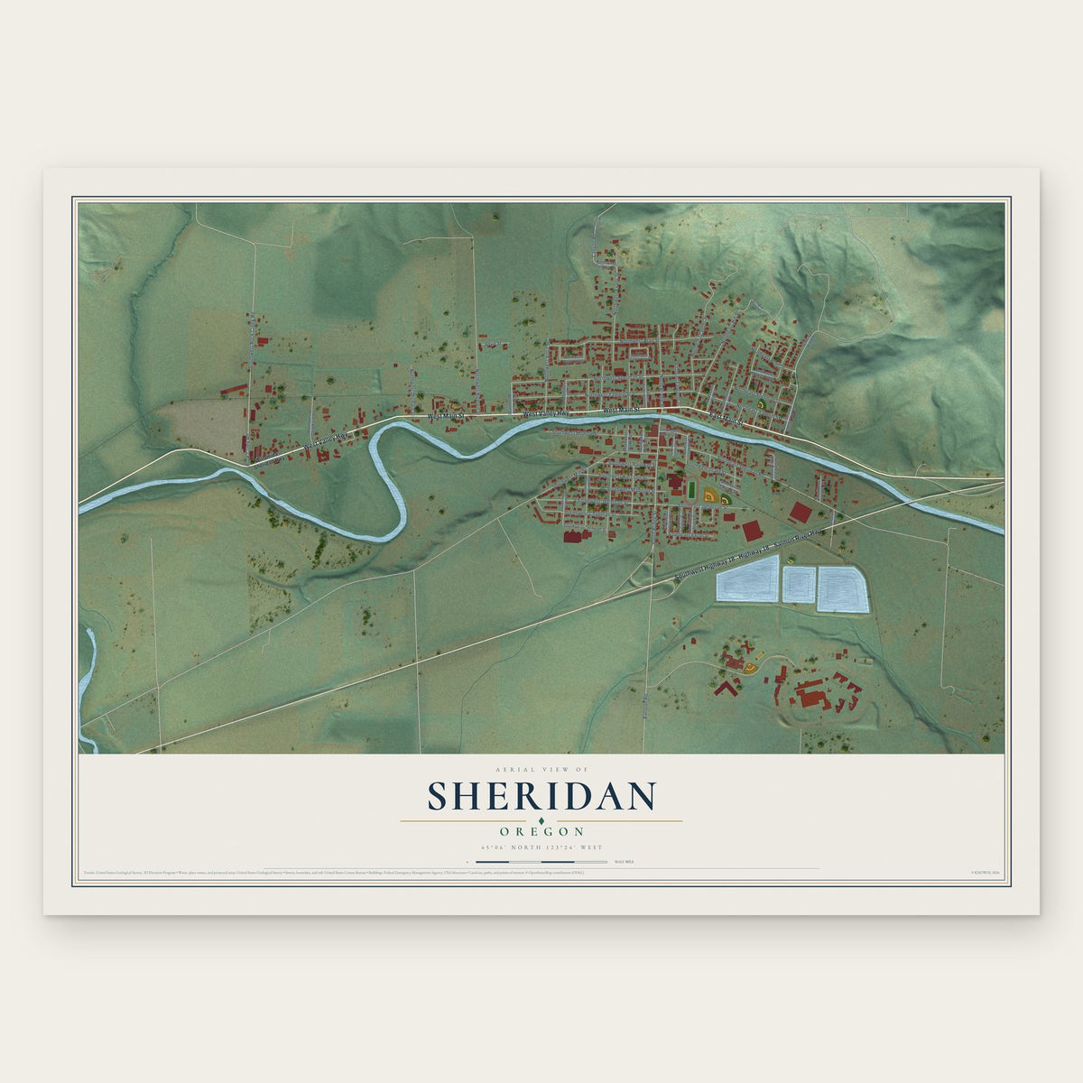


Search for another town




Free U.S. delivery 7 to 10 days after you order
Elko, Nevada Map Art
Building by building, with labeled streets and shaded relief.
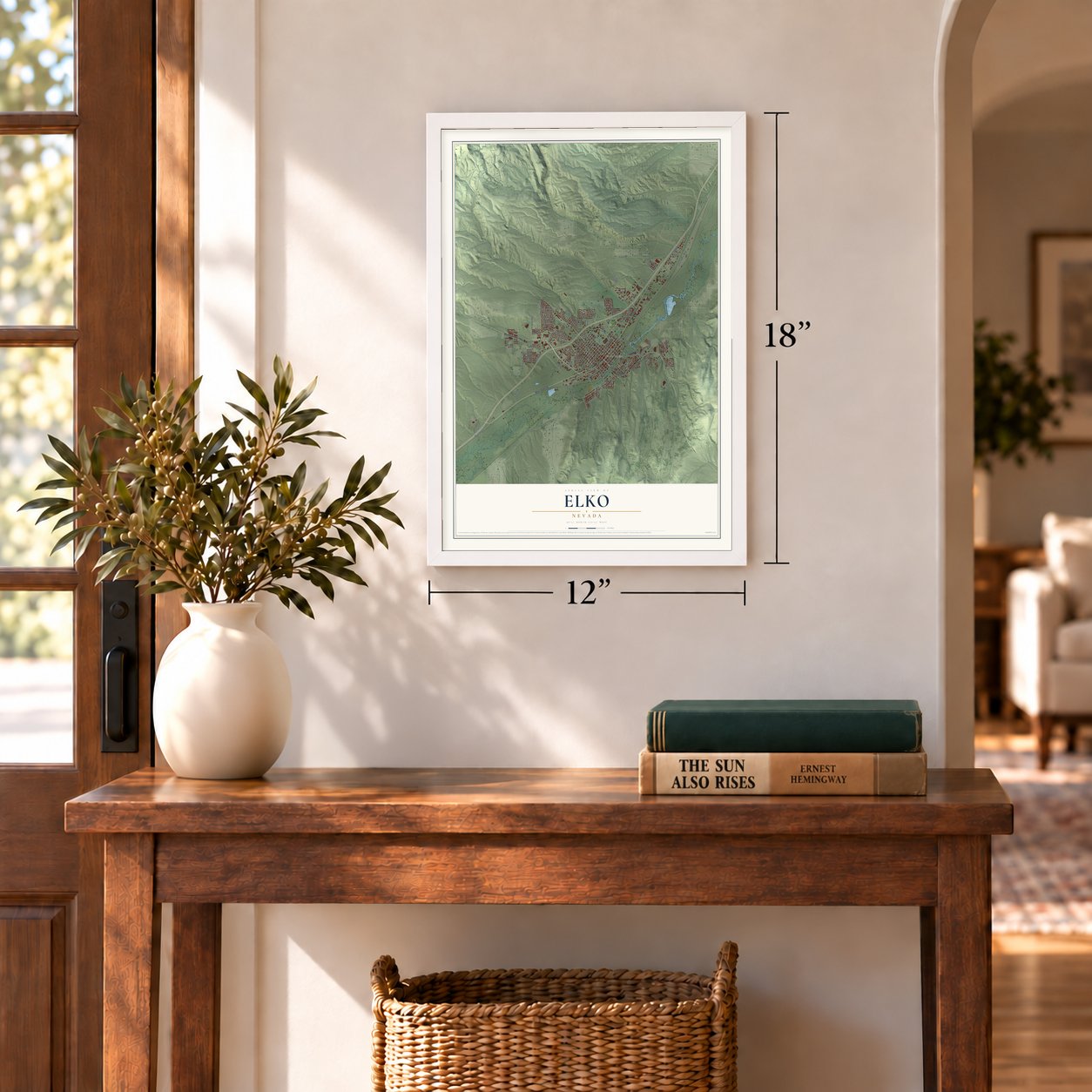
12" x 18" Archival Matte Print
A Map of Home. A Work of Art.
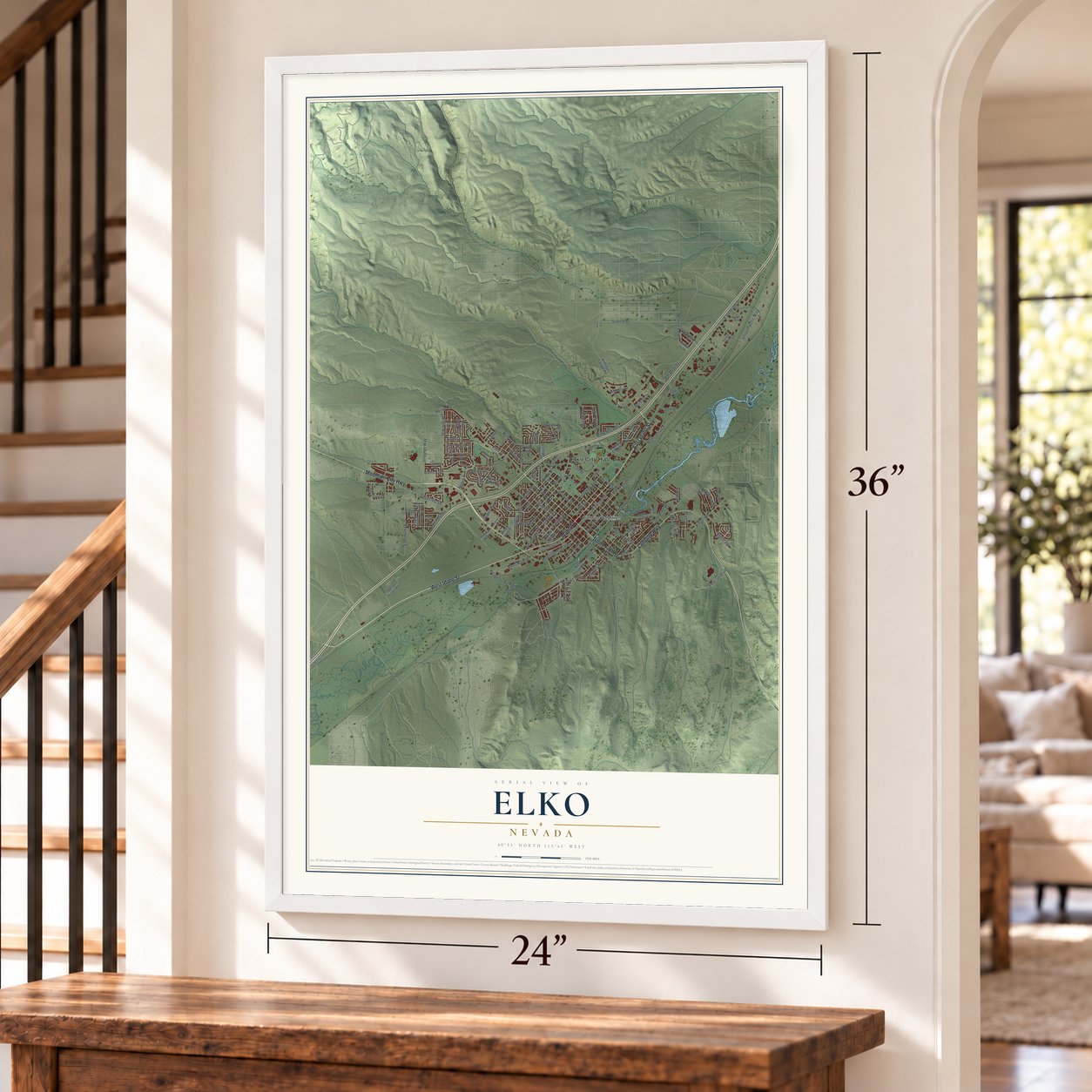
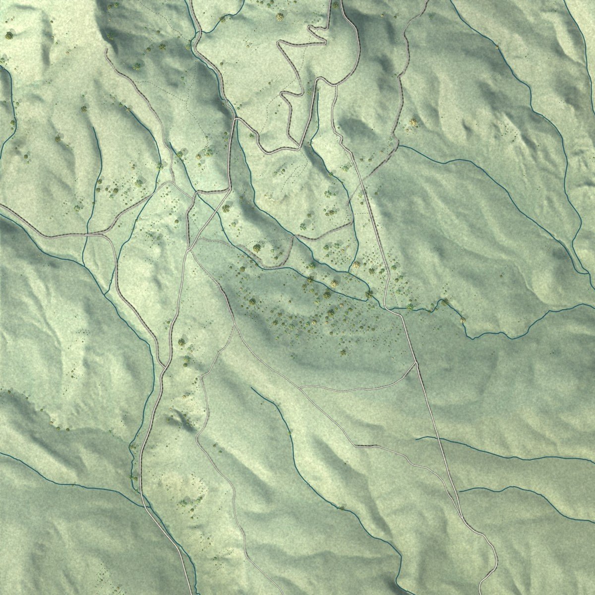
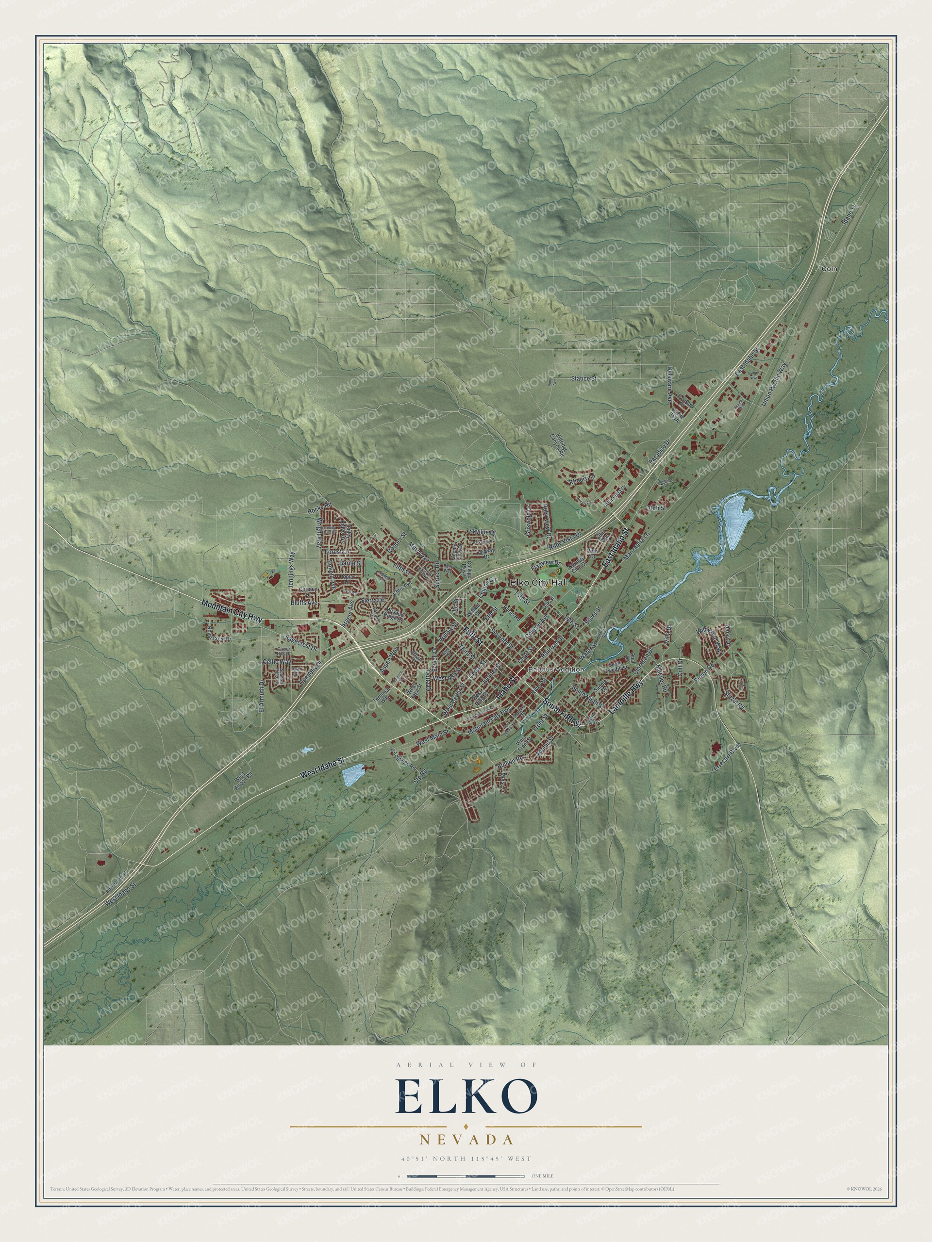
Explore Elko, Nevada from a whole new perspective. Created using aerial imagery and detailed geographic data, this map captures Elko building by building, with labeled streets, familiar landmarks, and shaded topographical relief that highlights the natural contours of the landscape.
Combining modern data with the timeless character of a vintage atlas, this map is just as interesting up close as it is beautiful on the wall. Whether you grew up in Elko, spent memorable years there, or call it home today, this unique map is a great way to celebrate a place that means something to you. Zoom in on the preview to look for your street, and then order a print to put your memories on the wall.
Three ways to hang it
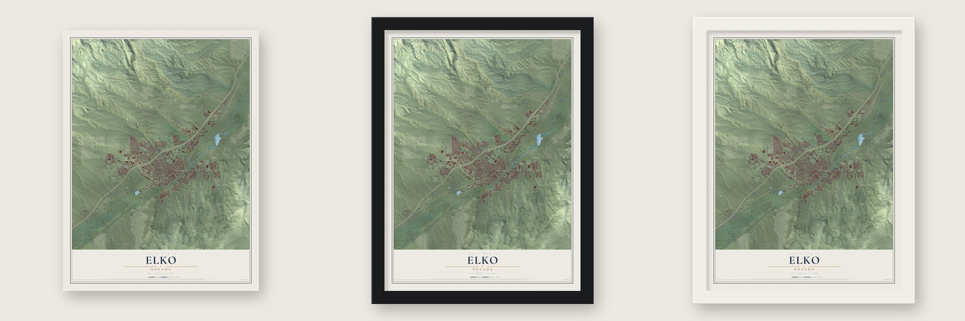
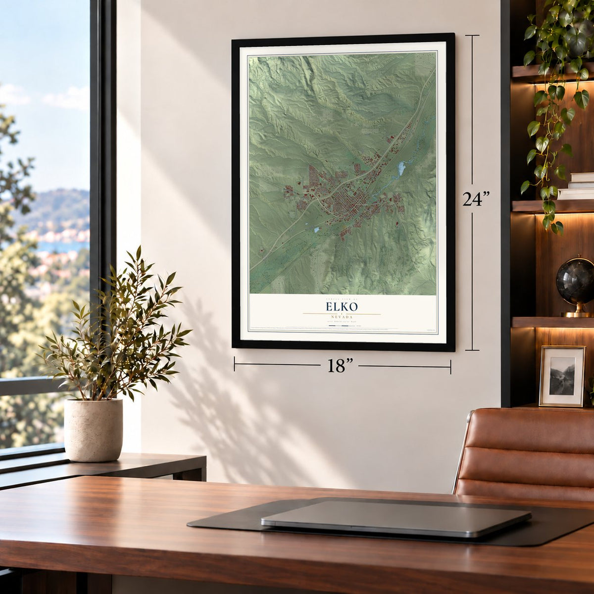
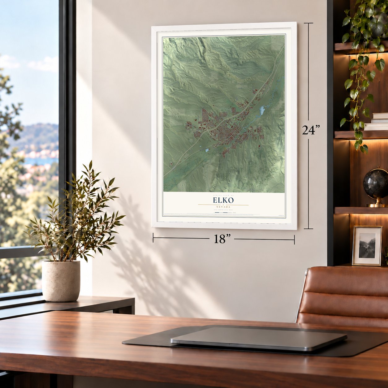
Unframed archival matte, a black wood frame or a white wood frame.
Up close
Geography Worth Displaying
This map was created using accurate cartographic data and authoritative geographic sources, including the U.S. Geological Survey and the Census Bureau. The map brings together terrain, waterways, roads, and building detail. The majority of the streets are labeled, houses are accurately depicted, and the topography is derived from government sources. Combining local data with carefully composed color and shading leads to this beautifully detailed Elko artwork for your wall.
Rather than simply showing street outlines, we’ve included as many of the street names as we could reasonably fit on the map while keeping their names legible. Zoom in on the high resolution preview to see exactly what’s on the map. We truly set out to create a statement piece for anyone who loves Elko. So whether it’s for you, or a gift for someone you love, we hope this map of Elko brings back fond memories.

Find your street
Names on the Elko map
Every name below is printed on this map. Look for your street, your school, the park where you played, or the pond down the road.
Places and landmarks3
- Elko City Hall
- Ballous Addition
- Coin
Streets and roads124
- Mountain City Highway
- East Idaho Street
- South Fifth Street
- Idaho Street
- West Idaho Street
- Fifth Street
- Lamoille Highway
- West Cedar Street
- Cedar Street
- Sagecrest Drive
- Rocky Road
- Bullion Road
- Elm Street
- Chilton Circle
- South Ninth Street
- Willow Street
- Seventh Street
- Forest Lane
- Manzanita Lane
- Ruby Vista Drive
- Jennings Way
- Spruce Road
- Silver Street
- Statice Street
- West Main Street
- Court Street
- Stitzel Road
- Sierra Drive
- Connolly Drive
- Union Pacific Way
Show all 124 streets
- Water Street
- River Street
- Errecart Boulevard
- Clarkson Drive
- Third Street
- Copper Street
- College Avenue
- Railroad Street
- Argent Avenue
- Enfield Avenue
- El Armuth Drive
- 13th Street
- Ruby View Drive
- Mittry Avenue
- Dotta Drive
- Sewell Drive
- Delaware Avenue
- Pinion Road
- Juniper Street
- Bluffs Avenue
- Wildwood Way
- 14th Street
- Skyline Drive
- Front Street
- Wright Way
- Aspen Way
- Metzler Road
- Khoury Lane
- Paradise Drive
- Flagview Drive
- Adams Street
- West Ash Street
- Griswold Drive
- Colt Drive
- 30th Street
- Celtic Way
- Barite Street
- Stp Road
- Daisy Drive
- Villa Drive
- Itc Street
- Country Club Drive
- Saddle Drive
- Carlin Court
- South Twelfth Street
- Oak Street
- Chris Avenue
- Walnut Street
- Valley Ridge Avenue
- College Parkway
- West Sage Street
- West Front Street
- West Airport Road
- Hot Springs Road
- Poplar Drive
- Royal Crest Drive
- Ellis Way
- Kittridge Canyon Road
- Scenic View Drive
- Meadow Ridge Drive
- Alta Vista Drive
- Morse Lane
- West Pine Street
- Burns Road
- Cortney Drive
- Fairway Drive
- Terminal Way
- View Drive
- Opal Drive
- Douglas Street
- Sage Street
- Rifle Range Road
- Sharps Acc
- North Hollow Drive
- Colonial Drive
- Hillside Drive
- El Dorado Drive
- Benti Way
- Shadow Ridge Drive
- Dawn Drive
- Clover Hills Drive
- Rodeo Court
- Cimarron Way
- West Commercial Street
- Rolling Hills Drive
- Romeo Way
- Teal Way
- Liberty Drive
- Parkview Drive
- West Douglas Street
- Ironhorse Drive
- Woods Court
- Pioneer Way
- Pima Avenue
Names are listed as they appear on the printed map. Zoom into the product photos to find them.
About Elko, Nevada
Elko is a city of 20,564 people on the Humboldt River and the seat of Elko County. The California Trail crossed this ground long before there was a town. Elko was founded in 1868 at the eastern end of the Central Pacific Railroad's tracks, and when the track crews pushed on, the town stayed behind to supply ranchers, miners and freight shippers.
By February 1869 more than sixty canvas tents held a rough and rowdy crowd, and later that year Elko was chosen as the county seat. Within six months of the railroad's arrival the town had eight doctors, eight lawyers, three hardware stores, two banks and forty-five saloons. Elko was incorporated as a city in 1917. In the late 1960s, microscopic gold turned up along the Carlin Unconformity, mining companies moved in, and the population climbed fast.
“Most modern structures in Elko would last only a year or two before a fire destroyed them in 1871. A brick-making machine was brought in, and many businesses rebuilt on a more permanent basis.”
- Elk plus an oThe Central Pacific's superintendent Charles Crocker is said to have named the town. He liked animal names, so he took Elk and added an o. No one has proved the story, but it is the version most people accept.
- A courthouse and jail in 1869Shootings were common in the young town, so in December 1869 Elko built a courthouse and jail. The building that replaced that first Elko County Courthouse in 1910 still stands, and it joined the National Register in 1992.
- First airmail flight, 1926The Air Mail Act of 1925 let the Postal Service hire private airlines to fly feeder routes. On April 6, 1926, pilot Leon D. Cuddeback made the nation's first airmail flight by a commercial carrier, 487 miles on Route #5 from Pasco, Washington, to the field that became Elko Regional Airport, stopping in Boise, Idaho, to pick up more mail.
- Cowboy poets since 1985Each January since 1985, Elko has hosted the National Cowboy Poetry Gathering, a week of poetry, stories, music, food, gear, film and photography about life in the rural West. The Canadian country singer Ian Tyson was a regular there.
- The National Basque FestivalEvery July since 1963, Elko has held the National Basque Festival, which planned its 50th anniversary for 2013. Locals jokingly call it the "Basquo Fiasco." It honors Basque culture and its ties to Elko with strongman contests, handball, a running of the bulls, Basque dancing and traditional food and wine.
Keep exploring Nevada
Elko is one of 152 Nevada towns we've mapped. Every dot on the map is a print of its own.
The search covers every state, Nevada first.
Near Elko
Order 2 or more town maps and save 10%. Shown in the size and finish you picked above, so they hang as a set.
- Osino 12" x 18" / Archival Matte Print $39.99
- Spring Creek 12" x 18" / Archival Matte Print $39.99
- Ryndon 12" x 18" / Archival Matte Print $39.99

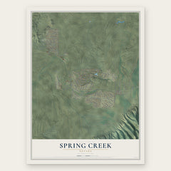

More maps nearby: South Fork, Lamoille, Carlin, Tuscarora and Wells.
The art of mapping a place
How This Map Was Made
Real places. Remarkable detail. Discover the layers that turn geographic data into a map of home.

The view from above
Aerial imagery reveals the character of the land: woodland, open fields, and the patterns of a place.

The shape of the land
Elevation data brings hills, valleys, and subtle changes in the landscape into view.

The details of home
Roads, waterways, and building footprints come together to make the map feel unmistakably local.

Geography becomes art
Considered color, shading, and typography bring the layers together in a map made for your wall.


Process illustrated with Mendon, Massachusetts. Aerial imagery: USDA NAIP. Terrain: USGS 3D Elevation Program. Map details and finished artwork: KNOWOL.
The Details
About This Print
Choose an archival matte print, or a black or white Ayous wood frame. The archival matte print is unframed.
Select your size and finish above to see the matching product image and price.
Materials & Craftsmanship
A contemporary map with the character of a classic atlas, printed on archival matte paper. Optional frames are made from Ayous wood.
Your printed map does not include the watermark shown in the full-map preview.
Shipping & Delivery
Free shipping within the United States. Every print is made to order in the USA.
Buying a gift? Add a note in your cart and we'll include it. We never put prices in the package.
Prints ship within 2 to 3 business days. Allow 7 to 10 days total from ordering for delivery. Timing may vary during holidays or periods of high order volume.
Read our shipping policy.
Returns and damaged prints
Each print is made to order. Change-of-mind refunds are not available after production.
If your print arrives damaged, misprinted or incorrect, contact support@knowol.com within 30 days of receiving it. Include your order number, photos and a description of the issue.
Read our full refund and replacement policy. For questions about your order, email support@knowol.com.