
Search for another town


Free U.S. delivery 7 to 10 days after you order
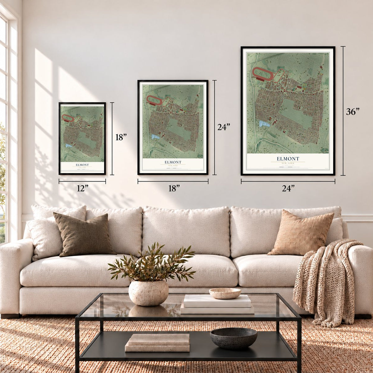
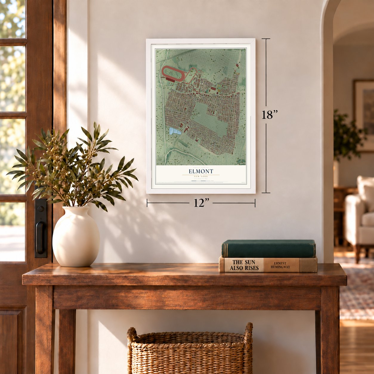
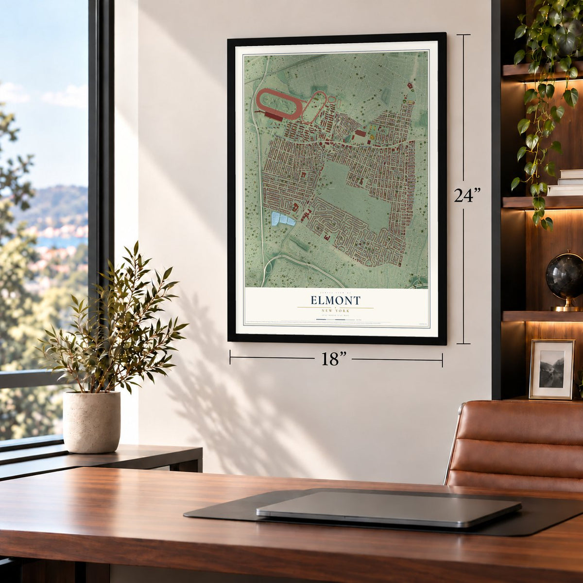
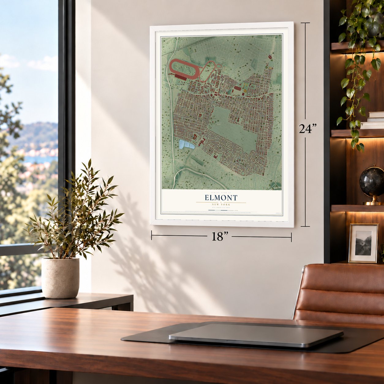
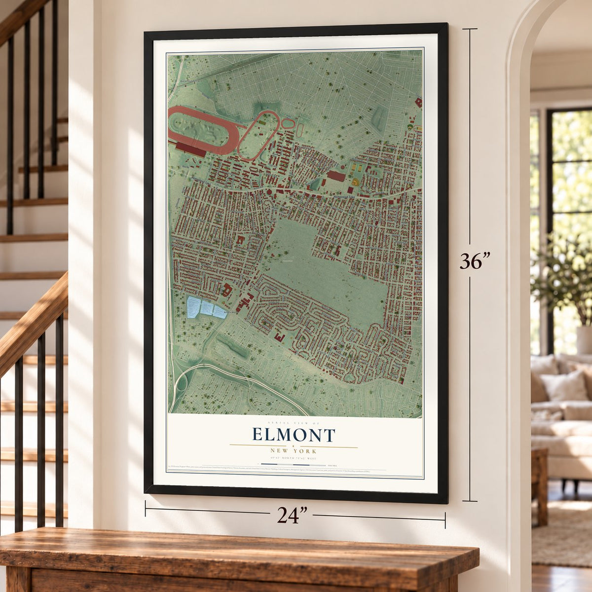
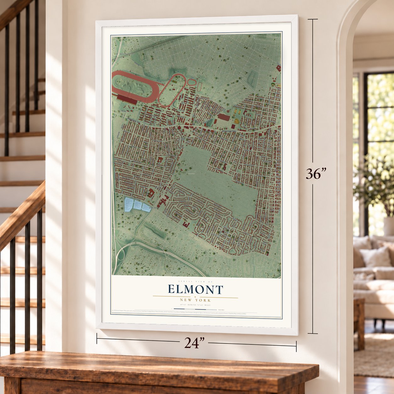
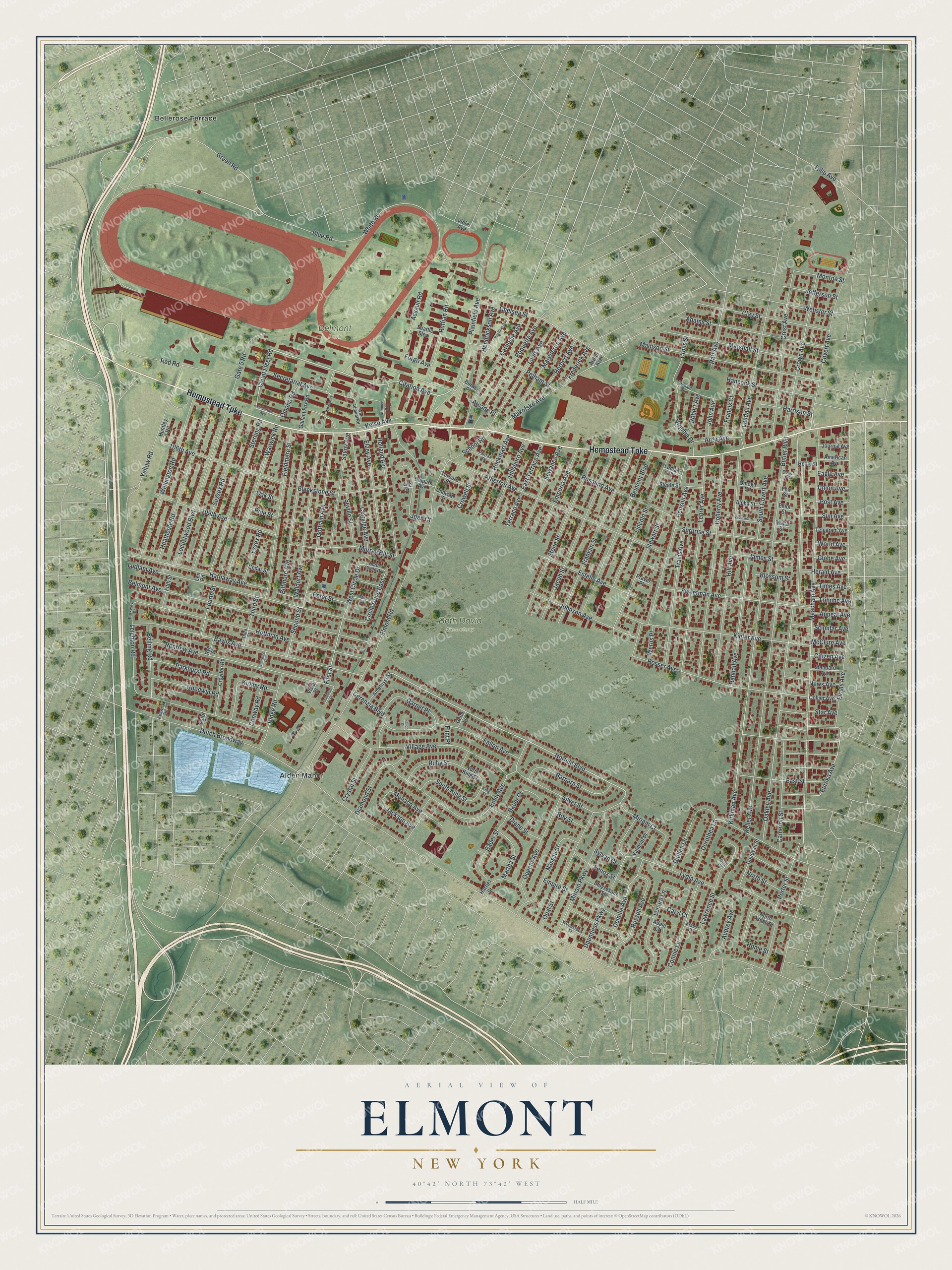
Elmont, New York Map Art
Building by building, with labeled streets and shaded relief.
12" x 18" Archival Matte Print
A Map of Home. A Work of Art.
Explore Elmont, New York from a whole new perspective. Created using aerial imagery and detailed geographic data, this map captures Elmont building by building, with labeled streets, familiar landmarks, and shaded topographical relief that highlights the natural contours of the landscape.
Combining modern data with the timeless character of a vintage atlas, this map is just as interesting up close as it is beautiful on the wall. Whether you grew up in Elmont, spent memorable years there, or call it home today, this unique map is a great way to celebrate a place that means something to you. Zoom in on the preview to look for your street, and then order a print to put your memories on the wall.
Three ways to hang it
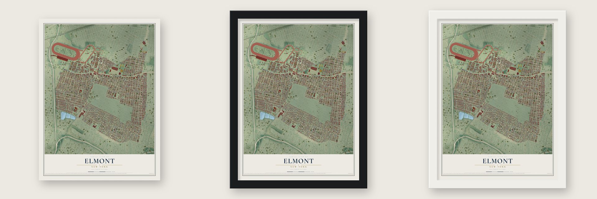
Unframed archival matte, a black wood frame or a white wood frame.
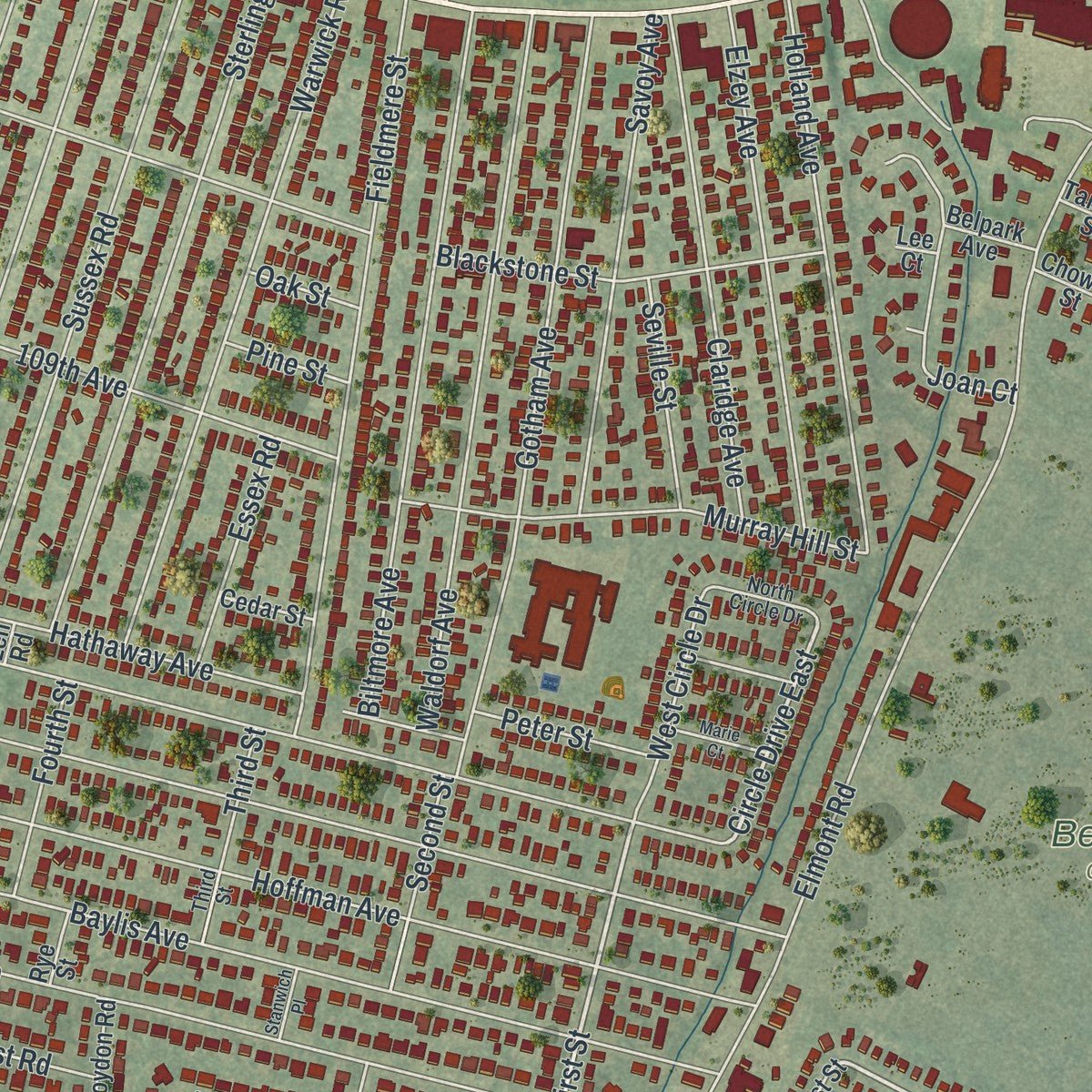
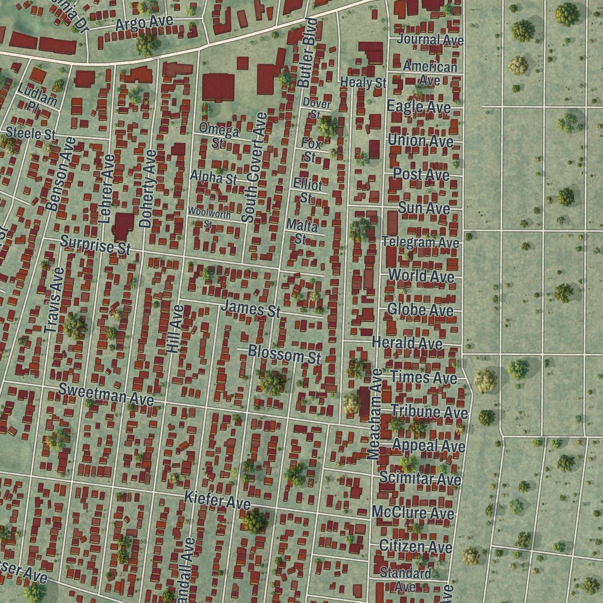
Up close
Geography Worth Displaying
This map was created using accurate cartographic data and authoritative geographic sources, including the U.S. Geological Survey (USGS) and FEMA. The map brings together terrain, waterways, roads, and building detail. The majority of the streets are labeled, houses are accurately depicted, and the topography is derived from government sources. Combining local data with carefully composed color and shading leads to this beautifully detailed Elmont artwork for your wall.
Rather than simply showing street outlines, we’ve included as many of the street names as we could reasonably fit on the map while keeping their names legible. Zoom in on the high resolution preview to see exactly what’s on the map. We truly set out to create a statement piece for anyone who loves Elmont. So whether it’s for you, or a gift for someone you love, we hope this map of Elmont brings back fond memories.
Explore the full map of Elmont, New York and read about the local places it shows.
Find your street
Names on the Elmont map
Every name below is printed on this map. Look for your street, your school, the park where you played, or the pond down the road.
Places and landmarks4
- Belmont Park
- Beth David Cemetery
- Alden Manor
- Bellerose Terrace
Streets and roads251
- Hempstead Turnpike
- Count Fleet Road
- Citation Avenue
- Norfeld Boulevard
- Eureka Avenue
- First Street
- Circle Drive East
- Dutch Broadway
- Meacham Avenue
- Elmont Road
- Oakley Avenue
- Evans Avenue
- Belmont Avenue
- Keller Avenue
- Covert Avenue
- Madison Street
- Kirkman Avenue
- Green Road
- Hoffman Avenue
- Ludlam Avenue
- Baylis Avenue
- Hill Avenue
- Atherton Avenue
- Doherty Avenue
- Lehrer Avenue
- Red Road
- Plainfield Avenue
- Benson Avenue
- Leighton Road
- Emily Avenue
Show all 251 streets
- Kiefer Avenue
- Renfrew Avenue
- Franklin Street
- Village Avenue
- Jacob Street
- Rosser Avenue
- Stone Street
- Belmont Boulevard
- Gotham Avenue
- Wellington Road
- Crest Avenue
- Fieldmere Street
- Heathcote Road
- Miriam Parkway
- Kelso Avenue
- Locustwood Boulevard
- Waldorf Avenue
- Crown Avenue
- Sussex Road
- Biltmore Avenue
- Sterling Road
- Stewart Street
- Marshall Street
- Warwick Road
- Sweetman Avenue
- Chelsea Street
- Fallon Avenue
- Lincoln Street
- Hathaway Avenue
- Adams Street
- Lydia Avenue
- Yellow Road
- Landau Avenue
- Randall Avenue
- Butler Boulevard
- Travis Avenue
- Clay Street
- Lawrence Street
- Makofske Avenue
- Holland Avenue
- White Road
- 106th Avenue
- Roquette Avenue
- Opal Street
- 109th Avenue
- Hendrickson Avenue
- Elzey Avenue
- Louis Avenue
- Marguerite Avenue
- Claridge Avenue
- Surprise Street
- Johnson Avenue
- Savoy Avenue
- Estelle Avenue
- Queens Avenue
- Cameron Street
- Rosalind Avenue
- Lenore Lane
- Nassau Street
- Murray Hill Street
- Dauntless Parkway
- Barbara Street
- Pelham Street
- Silver Street
- Russell Avenue
- Connie Lane
- Emporia Avenue
- Sewanee Avenue
- Carnegie Avenue
- Secretariat Avenue
- Hancock Street
- East Terrace Avenue
- Terrace Avenue
- Blackstone Street
- East Street
- Hillsboro Avenue
- Diamond Street
- Rockmart Avenue
- Audrey Avenue
- Miriam Court
- Empire Street
- Joan Court
- Kirkby Road
- Ruby Street
- Demille Avenue
- Ridge Road
- Porter Street
- Bauer Street
- Ruffian Road
- Monaco Avenue
- South King Street
- Home Street
- Beiling Road
- Cerenzia Boulevard
- Garnet Place
- Parkhurst Road
- Herbert Avenue
- Goodwin Road
- Gate 5 Road
- Raff Avenue
- Diellen Lane
- Virginia Drive
- Lenox Street
- South Covert Avenue
- Dorothea Lane
- Crystal Street
- North Street
- Diane Street
- James Street
- Star Avenue
- Martha Street
- Scimitar Avenue
- Francis Court
- News Avenue
- Jefferson Street
- Essex Road
- West Circle Drive
- Webster Street
- Blue Road
- Seville Street
- Cross Street
- Harrison Street
- School Road
- Monroe Street
- Second Street
- Third Street
- Fourth Street
- Jackson Avenue
- Bauer Court
- Herald Avenue
- Argo Avenue
- Sun Avenue
- Peter Street
- Crowell Street
- Robert Avenue
- Assault Road
- Frederick Avenue
- Conway Road
- Tribune Avenue
- John Avenue
- Omaha Road
- Appeal Avenue
- Times Avenue
- Werns Place
- McClure Avenue
- Roy Street
- Blossom Street
- Globe Avenue
- Citizen Avenue
- World Avenue
- Post Avenue
- Union Avenue
- Eagle Avenue
- Sylvan Court
- Tulip Avenue
- Caryl Court
- Pine Street
- Forgo Avenue
- Arcade Place
- Oak Street
- Flint Place
- North Ascan Street
- Croydon Road
- Standard Avenue
- Donovan Street
- Stuyvesant Street
- Harriet Street
- Steele Street
- Gallant Fox Road
- Adele Court
- Amethyst Street
- Valmont Place
- North King Street
- Telegram Avenue
- Fifth Street
- American Avenue
- Journal Avenue
- Collier Avenue
- Tarboro Street
- Chowan Street
- Seattle Slew
- Omega Street
- Alpha Street
- Huntley Road
- Cedar Street
- Belpark Avenue
- Healy Street
- Ludlam Place
- Violet Avenue
- Astor Street
- Burtis Place
- Gene Lane
- Arthur Avenue
- Rye Street
- Malta Street
- Praver Place
- Elliot Street
- Vista Place
- Fox Street
- Lee Court
- Len Road
- Woodstock Street
- Parkway Drive
- Depaul Street
- Fairfax Street
- North Circle Drive
- War Admiral Road
- Keswick Road
- King Street
- Kraus Court
- Dover Street
- Gail Court
- Sir Barton Avenue
- Hoeffner Avenue
- Woolworth Street
- Marie Court
- Whirlaway
- Affirmed Road
- Froehlich Place
- Stanwich Place
- Fallon Court
Names are listed as they appear on the printed map. Zoom into the product photos to find them.
About Elmont, New York
In 1650 Christopher and Thomas Foster bought a large tract on the Hempstead Plains. They planned to raise cattle and sheep there, and they called it Foster's Meadow. That name held for about two centuries. In 1882 the community was renamed Elmont.
In 1902 a group led by August Belmont Jr. and William C. Whitney set out to build the grandest racetrack in America. They chose land here on the Queens and Nassau line. Belmont Park opened in 1905. Local farms were then sold and cut into house lots, many for track workers.
Keep exploring New York
Elmont is one of 2,165 New York towns we've mapped. Every dot on the map is a print of its own.
The search covers every state, New York first.
Near Elmont
Order 2 or more town maps and save 10%. Shown in the size and finish you picked above, so they hang as a set.
- South Floral Park 12" x 18" / Archival Matte Print $39.99
- North Valley Stream 12" x 18" / Archival Matte Print $39.99
- Franklin Square 12" x 18" / Archival Matte Print $39.99
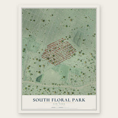
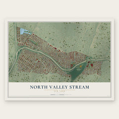
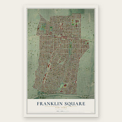
More maps nearby: Floral Park, Cambria Heights, Stewart Manor, Bellerose and Bellerose Terrace.
The art of mapping a place
How This Map Was Made
Real places. Remarkable detail. Discover the layers that turn geographic data into a map of home.

The view from above
Aerial imagery reveals the character of the land: woodland, open fields, and the patterns of a place.

The shape of the land
Elevation data brings hills, valleys, and subtle changes in the landscape into view.

The details of home
Roads, waterways, and building footprints come together to make the map feel unmistakably local.

Geography becomes art
Considered color, shading, and typography bring the layers together in a map made for your wall.


Process illustrated with Mendon, Massachusetts. Aerial imagery: USDA NAIP. Terrain: USGS 3D Elevation Program. Map details and finished artwork: KNOWOL.
The Details
About This Print
Choose an archival matte print, or a black or white Ayous wood frame. The archival matte print is unframed.
Select your size and finish above to see the matching product image and price.
Materials & Craftsmanship
A contemporary map with the character of a classic atlas, printed on archival matte paper. Optional frames are made from Ayous wood.
Your printed map does not include the watermark shown in the full-map preview.
Shipping & Delivery
Free shipping within the United States. Every print is made to order in the USA.
Buying a gift? Add a note in your cart and we'll include it. We never put prices in the package.
Prints ship within 2 to 3 business days. Allow 7 to 10 days total from ordering for delivery. Timing may vary during holidays or periods of high order volume.
Read our shipping policy.
Returns and damaged prints
Each print is made to order. Change-of-mind refunds are not available after production.
If your print arrives damaged, misprinted or incorrect, contact support@knowol.com within 30 days of receiving it. Include your order number, photos and a description of the issue.
Read our full refund and replacement policy. For questions about your order, email support@knowol.com.