
Search for another town




Free U.S. delivery 7 to 10 days after you order
Evans, Georgia Map Art
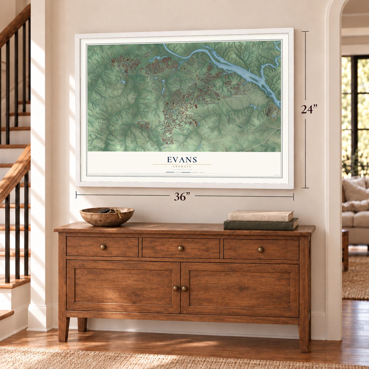
A new map of Evans, Georgia, made in 2026 and printed to order on thick archival matte paper.
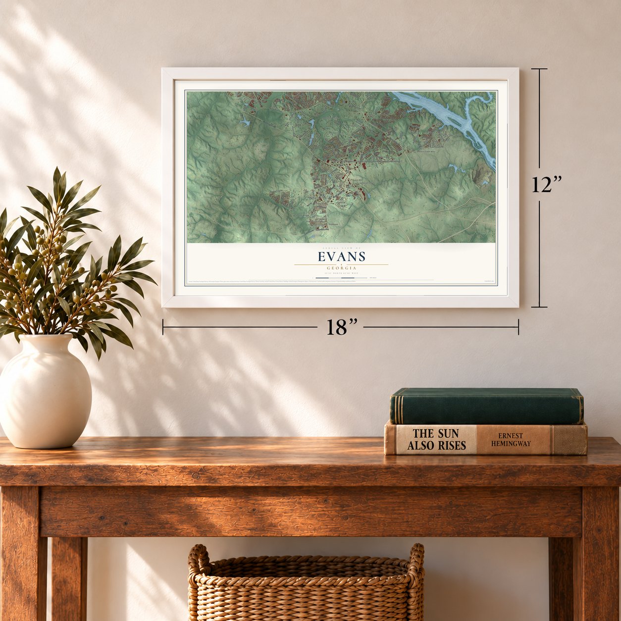
12" x 18" Archival Matte Print
A Map of Home. A Work of Art.
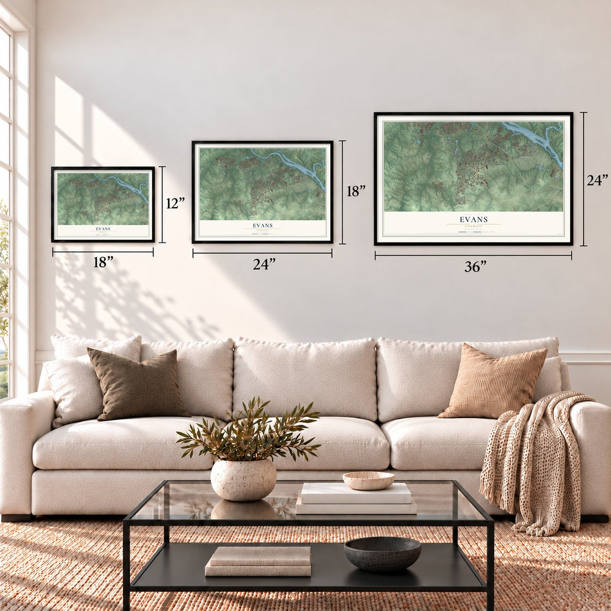
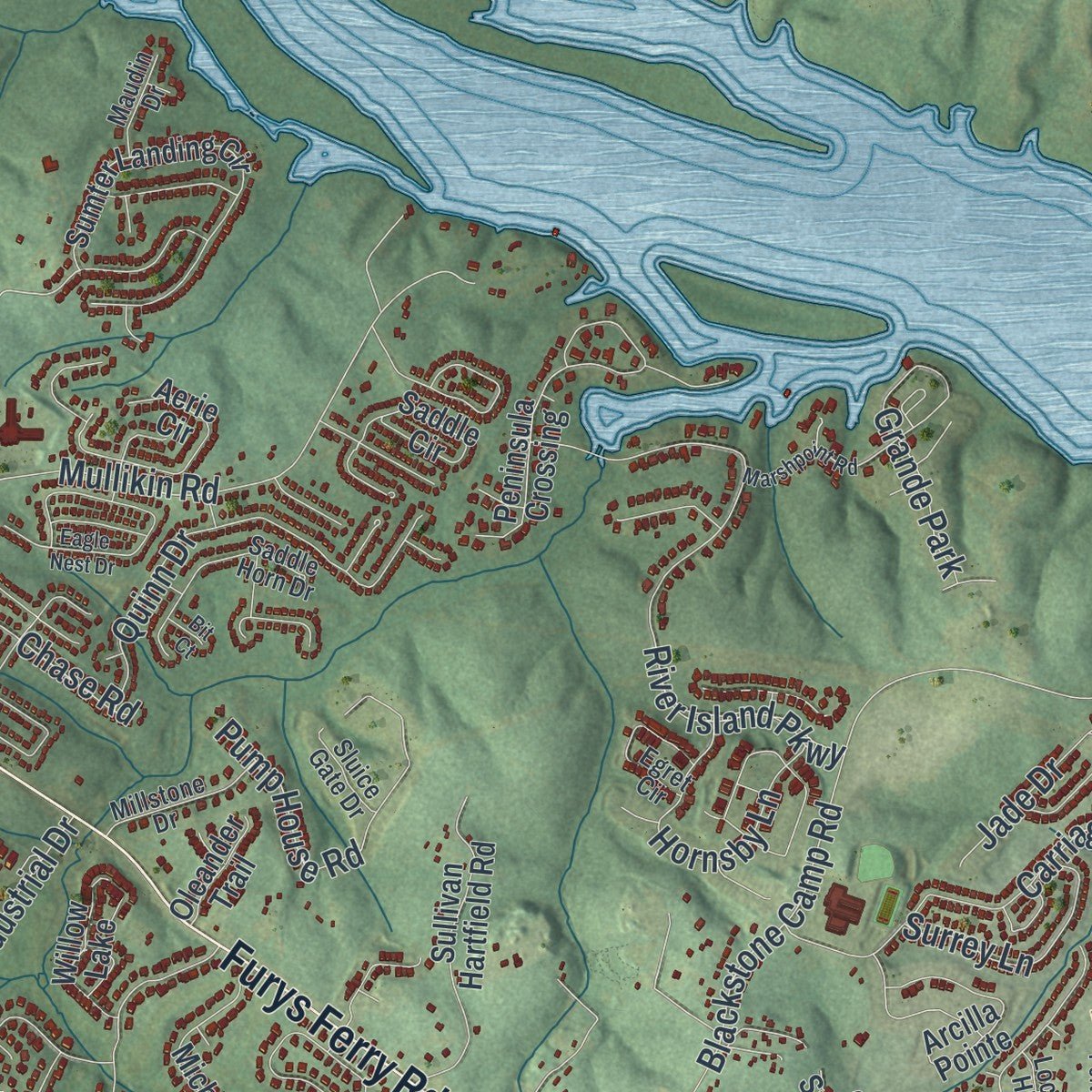
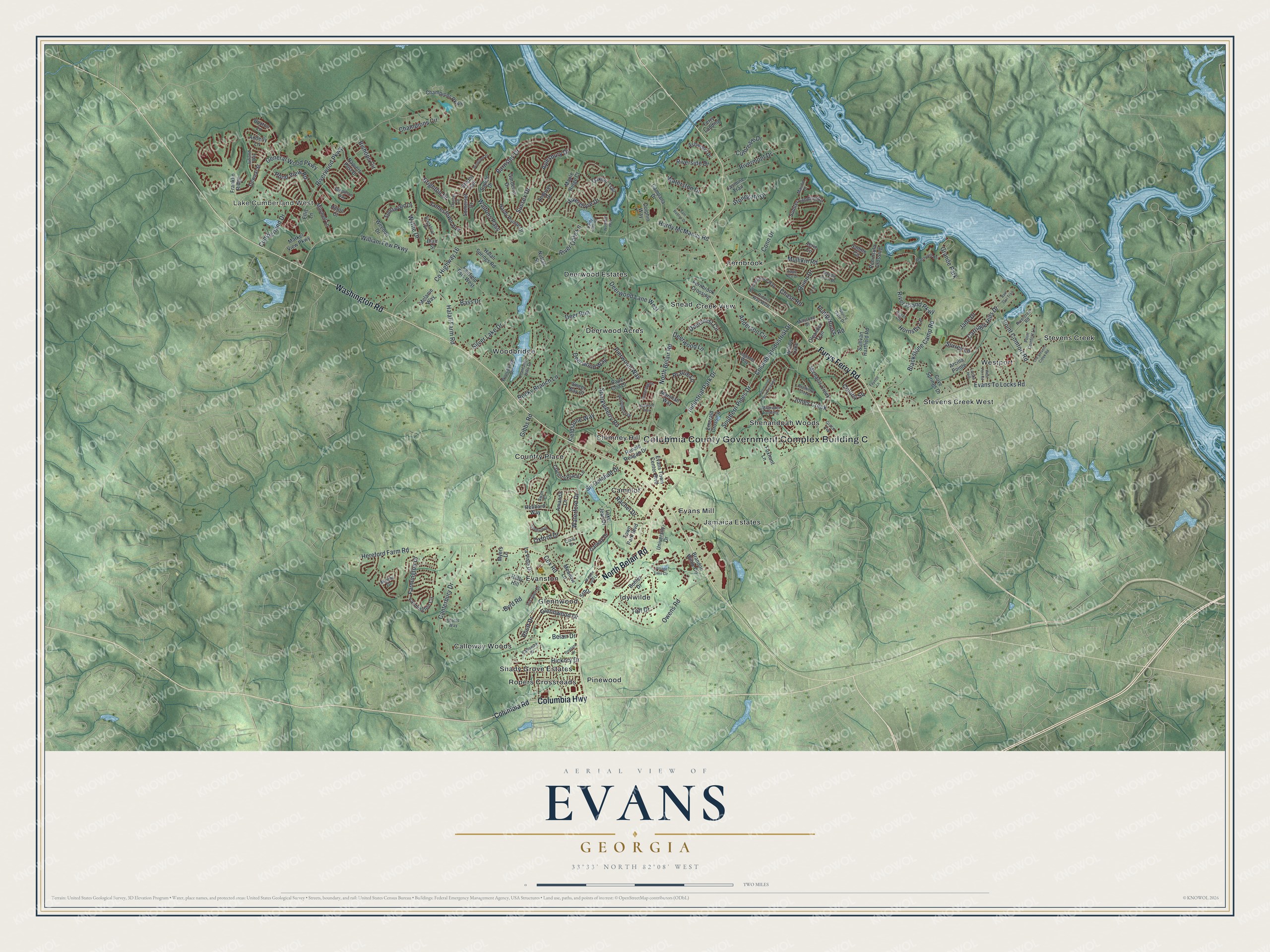
Explore Evans, Georgia from a whole new perspective. Created using aerial imagery and detailed geographic data, this map captures Evans building by building, with labeled streets, familiar landmarks, and shaded topographical relief that highlights the natural contours of the landscape.
Combining modern data with the timeless character of a vintage atlas, this map is just as interesting up close as it is beautiful on the wall. Whether you grew up in Evans, spent memorable years there, or call it home today, this unique map is a great way to celebrate a place that means something to you. Zoom in on the preview to look for your street, and then order a print to put your memories on the wall.
Three ways to hang it
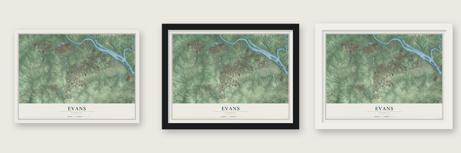
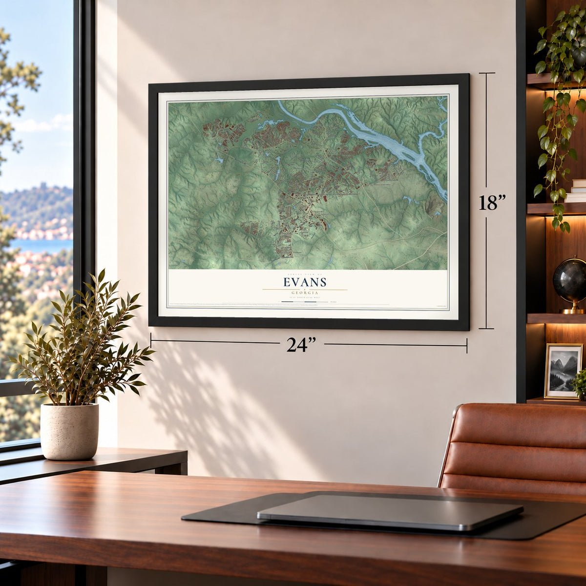
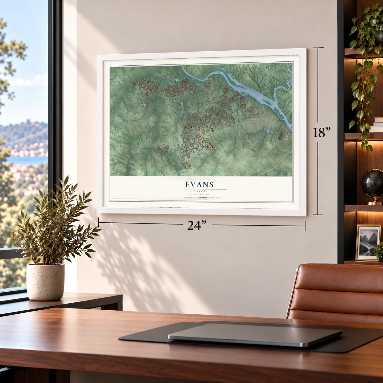
Unframed archival matte, a black wood frame or a white wood frame.
Up close
Geography Worth Displaying
This map was created using accurate cartographic data and authoritative geographic sources, including the U.S. Geological Survey (USGS) and FEMA. The map brings together terrain, waterways, roads, and building detail. The majority of the streets are labeled, houses are accurately depicted, and the topography is derived from government sources. Combining local data with carefully composed color and shading leads to this beautifully detailed Evans artwork for your wall.
Rather than simply showing street outlines, we’ve included as many of the street names as we could reasonably fit on the map while keeping their names legible. Zoom in on the high resolution preview to see exactly what’s on the map. We truly set out to create a statement piece for anyone who loves Evans. So whether it’s for you, or a gift for someone you love, we hope this map of Evans brings back fond memories.
Explore the full map of Evans, Georgia and read about the local places it shows.

About Evans, Georgia
In Columbia County, Evans is classified as both an unincorporated community and a census-designated place within metropolitan Augusta. Its population reached 34,536 in the 2020 census, and its northeastern edge meets the Savannah River at the South Carolina line. Appling retains the legal county-seat designation, while several county government offices are in Evans.
- Government HubEvans contains the Columbia County Government Center, the Government Complex Addition, and the Columbia County Courthouse Annex.
- 26.6 Square MilesThe census-designated place covers 25.3 square miles of land and 1.3 square miles of water.
- Historic Road CenterThe original community centers on North Belair Road, southwest of its junction with Washington Road.
- Distinct NamesakeEvans was named for a family unrelated to General Clement A. Evans, whose name was given to Evans County.
- Parks and PathsEvans Towne Center Park includes the Lady Antebellum Pavilion, while Euchee Creek Greenway is a developing bicycle and pedestrian project.
Find your street
Names on the Evans map
Every name below is printed on this map. Look for your street, your school, the park where you played, or the pond down the road.
Places and landmarks26
- Colubmia County Government Complex Building C
- Lake Cumberland West
- Calloway Woods
- Camelot
- Chimney Hill
- Country Place
- Creek View
- Deerwood Acres
- Deerwood Estates
- Evans Mill
- Evanston
- Fernbrook
Show all 26 places
- Glennwood
- Idylwilde
- Jamaica Estates
- Pinewood
- Ropers Crossroads
- Shady Grove Estates
- Shenandoah Woods
- Snead
- Stevens Creek
- Stevens Creek West
- Westport
- Woodbridge
- Grande Park
- Willow Lake
Streets and roads183
- North Belair Road
- Washington Road
- Furys Ferry Road
- Columbia Highway
- Evans To Locks Road
- Hardy McManus Road
- Hereford Farm Road
- Riverwood Parkway
- Silver Lake Drive
- Blackstone Camp Road
- Mullikin Road
- Owens Road
- General Wood Parkway
- Gibbs Road
- Deer Run
- William Few Parkway
- River Island Parkway
- Deerwood Lane West
- Industrial Park Drive
- Byrd Road
- Aylesbury Drive
- Canterbury Drive
- Sparkleberry Road
- Farmington Drive
- Champions Circle
- Rivershyre Drive
- County Highway 16
- Halali Farm Road
- Sussex Drive
- Carriage Hills Drive
Show all 183 streets
- Point Comfort Road
- Waltons Pass
- Quinn Drive
- Deercrest Circle
- River Oaks Lane
- Barnsley Drive
- Cumberland Drive
- Conn Drive
- Hickory Drive
- Bishops Circle
- Pump House Road
- Waterford Drive
- Southern Pines Drive
- Cox Road
- Jamestown Avenue
- Prairie Lane
- Jones Creek
- Waterston Drive
- Rocky Branch Lane
- Hornsby Lane
- Pond View Road
- Pierwood Way
- Rivermont Drive
- Deerwood Lane
- Columbia Industrial Drive
- Bass Drive
- Wythe Drive
- Sir Galahad Drive
- Glennwood Drive
- Anderson Circle
- Fieldstone Way
- Colony Square
- Riverside Drive
- Stonegate Drive
- Culbreath Drive
- Brighton Drive
- Surrey Lane
- Jade Drive
- Oxford Drive
- Deerwood Way
- Rhett Drive
- Taft Drive
- Rachel Drive
- Belair Drive
- Chase Road
- Columbia Road
- Lake Jean Drive
- Dewaal Street
- Sumter Landing Circle
- Ronald Reagan Drive
- Bohler Drive
- Peninsula Crossing
- Evans Town Center Boulevard
- Buxton Lane
- Emerald Crossing
- Country Place Lane
- Michaels Creek
- Sullivan Hartfield Road
- Farmington Circle
- Brandon Wilde Circle
- Jasmine Trail
- Nuttall Street
- Gardenia Drive
- Napiers Post Drive
- Maple Ridge Court
- Mitchell Lane
- Meadow Lane
- Aerie Circle
- Hardy Pointe Drive
- Oakton Trail
- Campana Drive
- Champions Parkway
- Arcilla Pointe
- Saddle Circle
- Town Park Boulevard
- Foxhunt Lane
- Amanda Lane
- La Vista Drive
- Fernbrook Crossing
- University Drive
- Ellis Lane
- Sapelo Drive
- Fairfield Ests West
- Cape Cod Drive
- Market View Parkway
- Halali Springs Road
- Somerset Drive
- Galway Drive
- Spotswood Drive
- Ashwood Drive
- Cove Springs Drive
- Andover Drive
- Franklin Ridge
- Dolphin Way
- Bristol Trail
- Melanie Way
- Hebbard Way
- Oleander Trail
- Ferry Landing
- Weedon Drive
- Marshall Way
- Hilton Court
- Adderly Lane
- Myers Lane
- Sweet Bay Court
- Holly Hill
- Srp Drive
- Blair Street
- Grace Avenue
- Blackfoot Drive
- Sandleton Way
- Plantation Hills Drive
- Woodbridge Drive
- Calloway Drive
- Hunting Horn Way
- Saddle Horn Drive
- Dorset Drive
- Woodberry Drive
- Millstone Drive
- Egret Circle
- Rivercrest Road
- Point Comfort Lane
- Magruder Landing
- Jutland Way
- Iris Glen Drive
- Legends Way
- Riders Way West
- Scotts Way
- Maudin Drive
- Sluice Gate Drive
- Craig Drive
- Locks Hill
- Marble Drive
- Swan Court
- Village Lake Circle
- Hammonds Ferry Crossing
- Old Stevens Creek Road
- Sam Baston Drive
- Eagle Nest Drive
- Northridge Circle
- Pineland Drive
- Sheffield Drive
- Marshpoint Road
- Dogwood Way
- Windslow Drive
- West Port Road
- Hardy Lake Road
- Woodruff Way
- Barn Owl Trail
- Bradberry Creek
- Walden Glen Lane
- Fayette Lane
- Bit Court
Names are listed as they appear on the printed map. Zoom into the product photos to find them.
The art of mapping a place
How This Map Was Made
Real places. Remarkable detail. Discover the layers that turn geographic data into a map of home.

The view from above
Aerial imagery reveals the character of the land: woodland, open fields, and the patterns of a place.

The shape of the land
Elevation data brings hills, valleys, and subtle changes in the landscape into view.

The details of home
Roads, waterways, and building footprints come together to make the map feel unmistakably local.

Geography becomes art
Considered color, shading, and typography bring the layers together in a map made for your wall.


Process illustrated with Mendon, Massachusetts. Aerial imagery: USDA NAIP. Terrain: USGS 3D Elevation Program. Map details and finished artwork: KNOWOL.
The Details
About This Print
Choose an archival matte print, or a black or white Ayous wood frame. The archival matte print is unframed.
Select your size and finish above to see the matching product image and price.
Materials & Craftsmanship
A contemporary map with the character of a classic atlas, printed on archival matte paper. Optional frames are made from Ayous wood.
Your printed map does not include the watermark shown in the full-map preview.
Shipping & Delivery
Free shipping within the United States. Every print is made to order in the USA.
Buying a gift? Add a note in your cart and we'll include it. We never put prices in the package.
Prints ship within 2 to 3 business days. Allow 7 to 10 days total from ordering for delivery. Timing may vary during holidays or periods of high order volume.
Read our shipping policy.
Returns and damaged prints
Each print is made to order. Change-of-mind refunds are not available after production.
If your print arrives damaged, misprinted or incorrect, contact support@knowol.com within 30 days of receiving it. Include your order number, photos and a description of the issue.
Read our full refund and replacement policy. For questions about your order, email support@knowol.com.
Find your town
Looking for another city?
Find a map of home in our Georgia collection, or any town in the country.
Nearby
Maps of towns near Evans
Know someone from one of these towns? Their map makes a great gift.
 Martinez
, Georgia
From $39.99See the map
 Stevens Creek
, Georgia
From $39.99See the map
 Westmont
, Georgia
From $39.99See the map
More maps nearby: Lewiston, Grovetown, Appling, Harlem and Augusta.