
Search for another town
Free U.S. delivery 7 to 10 days after you order
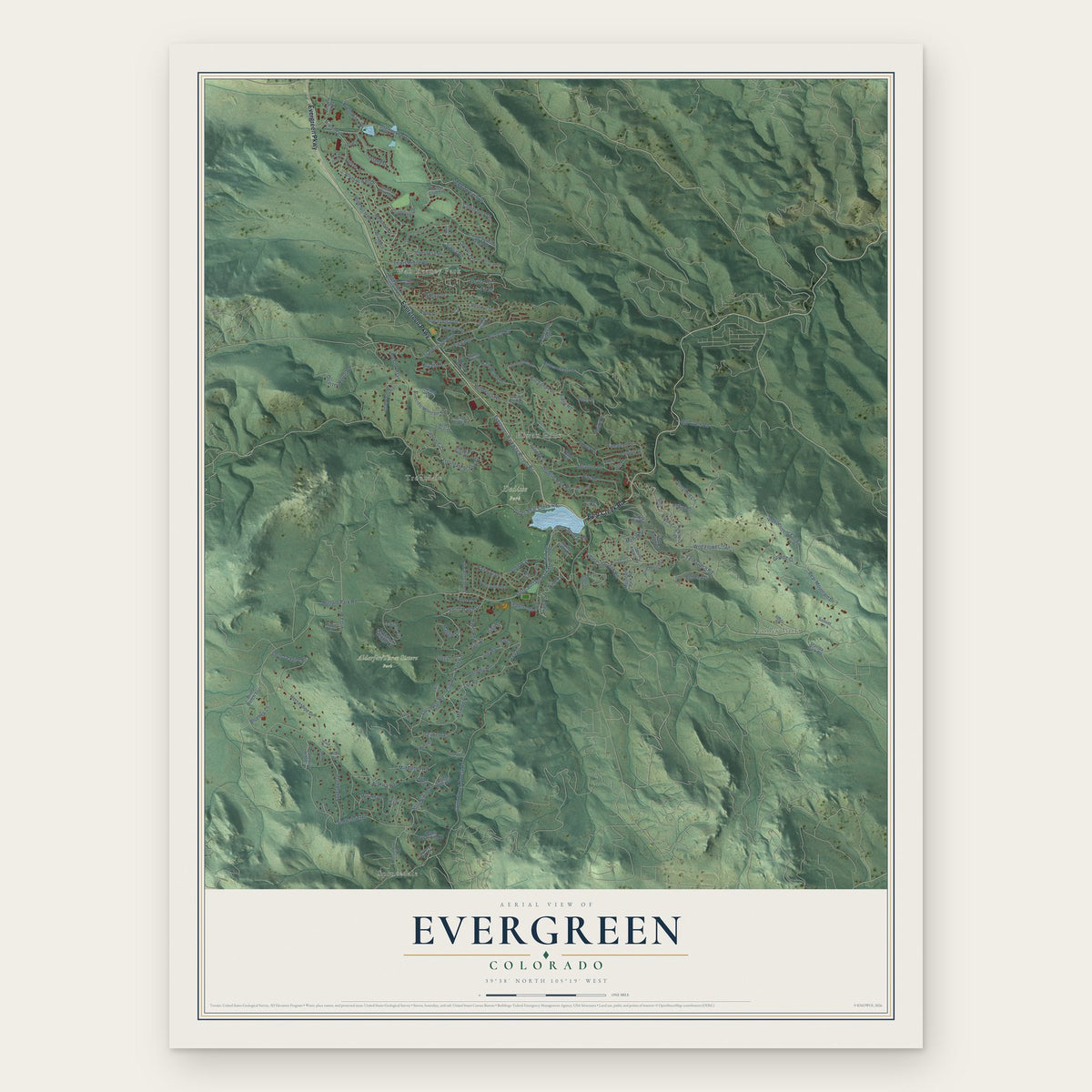
Evergreen, Colorado Map Art
Building by building, with labeled streets and shaded relief.
12" x 18" Archival Matte Print
A Map of Home. A Work of Art.
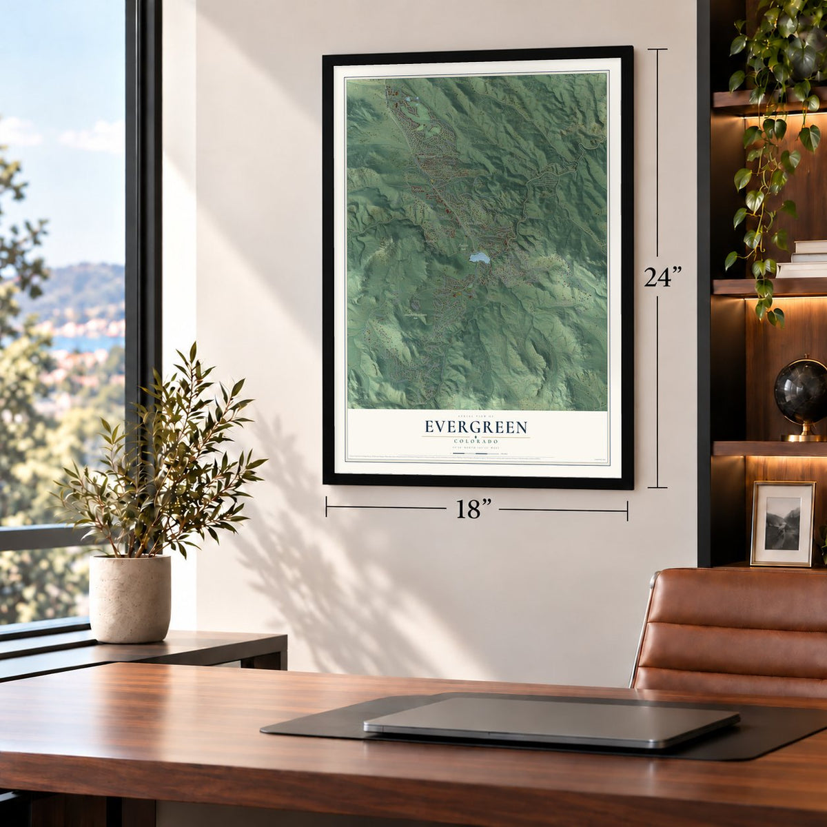
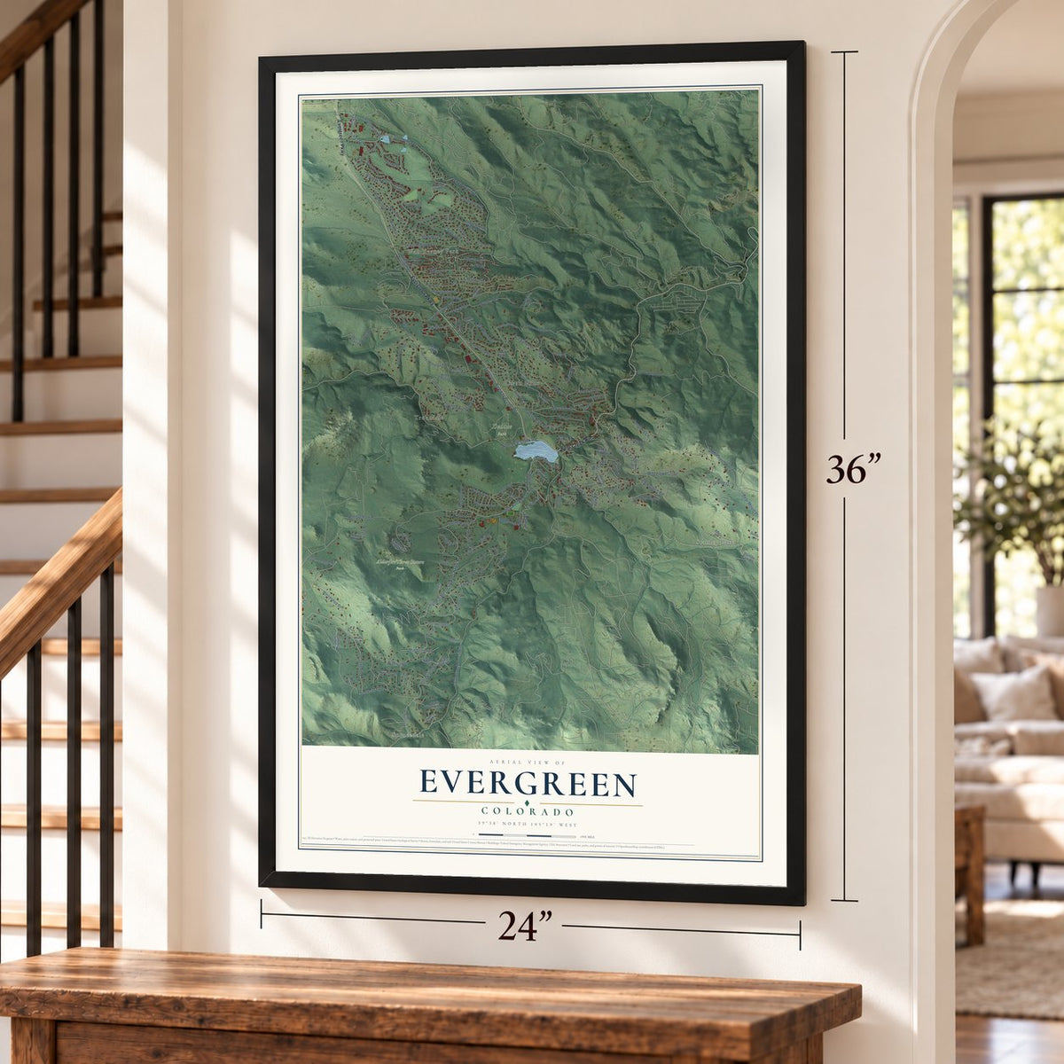
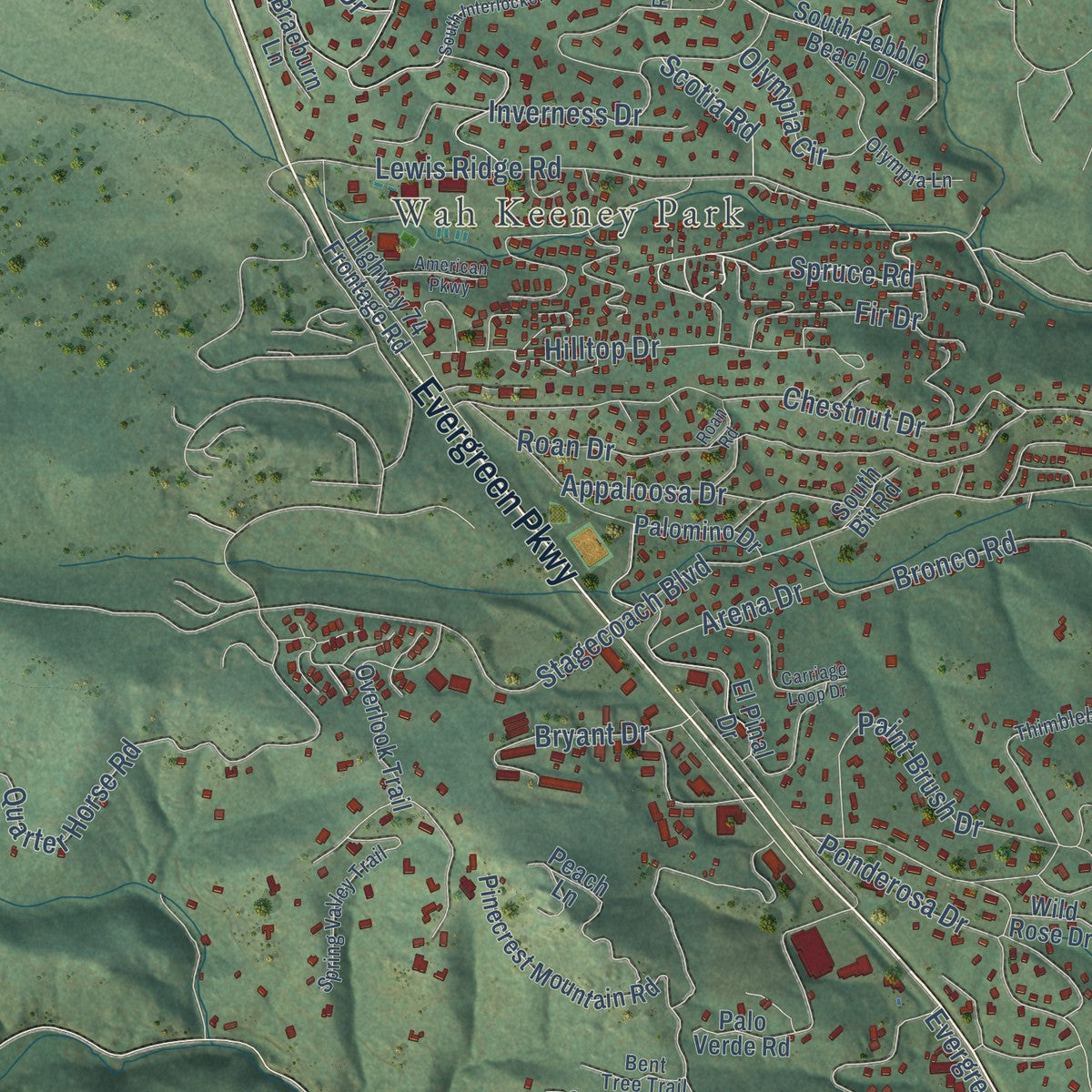
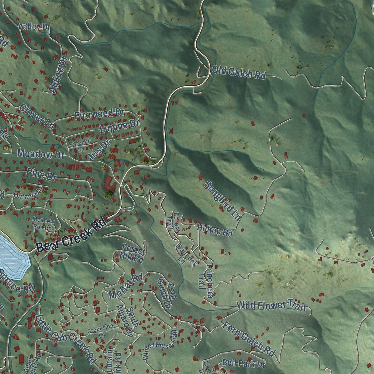
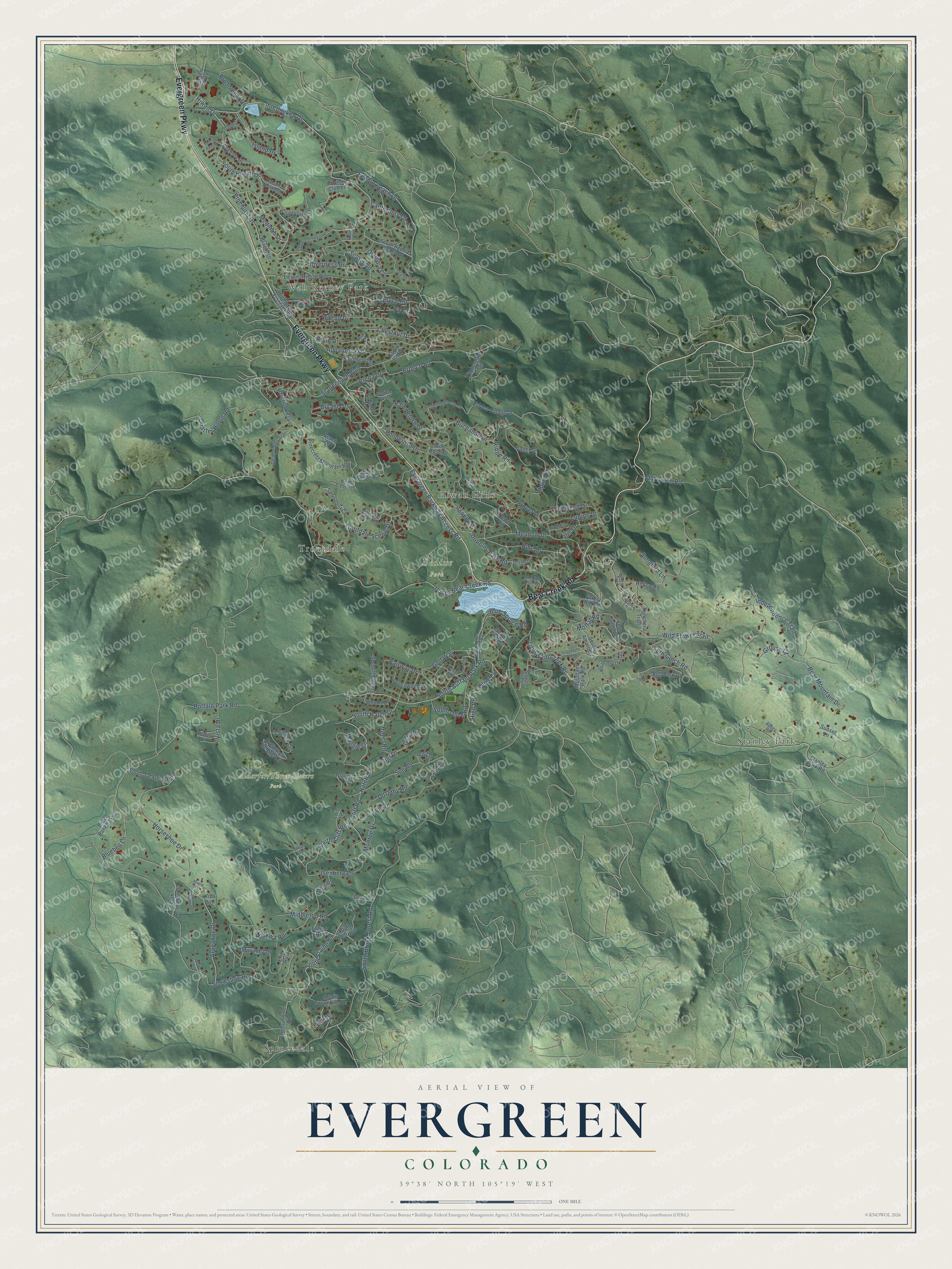
Explore Evergreen, Colorado from a whole new perspective. Created using aerial imagery and detailed geographic data, this map captures Evergreen building by building, with labeled streets, familiar landmarks, and shaded topographical relief that highlights the natural contours of the landscape.
Combining modern data with the timeless character of a vintage atlas, this map is just as interesting up close as it is beautiful on the wall. Whether you grew up in Evergreen, spent memorable years there, or call it home today, this unique map is a great way to celebrate a place that means something to you. Zoom in on the preview to look for your street, and then order a print to put your memories on the wall.
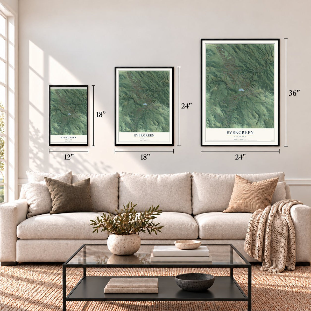
Three ways to hang it
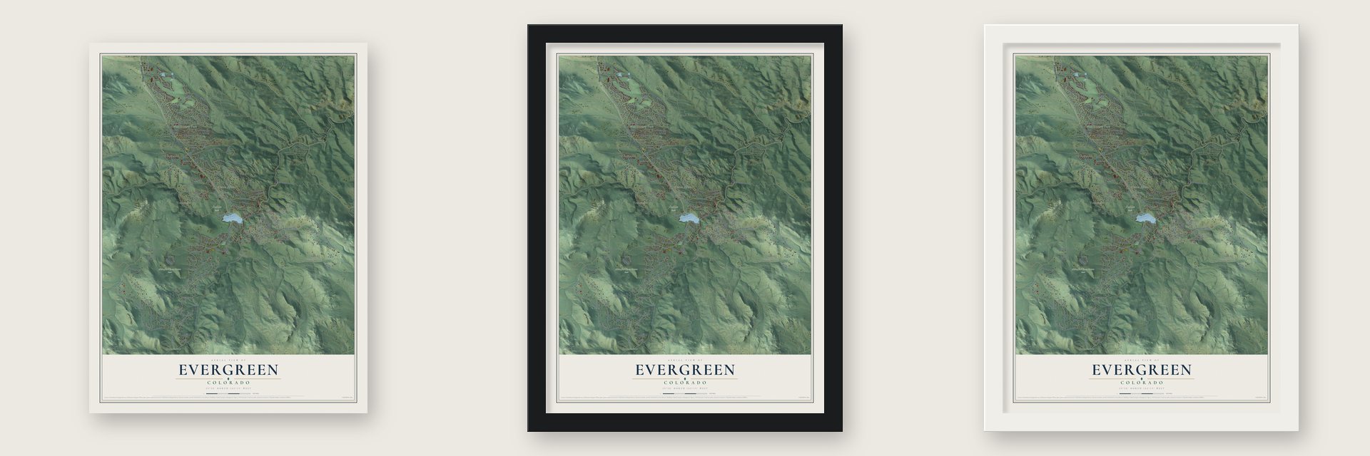
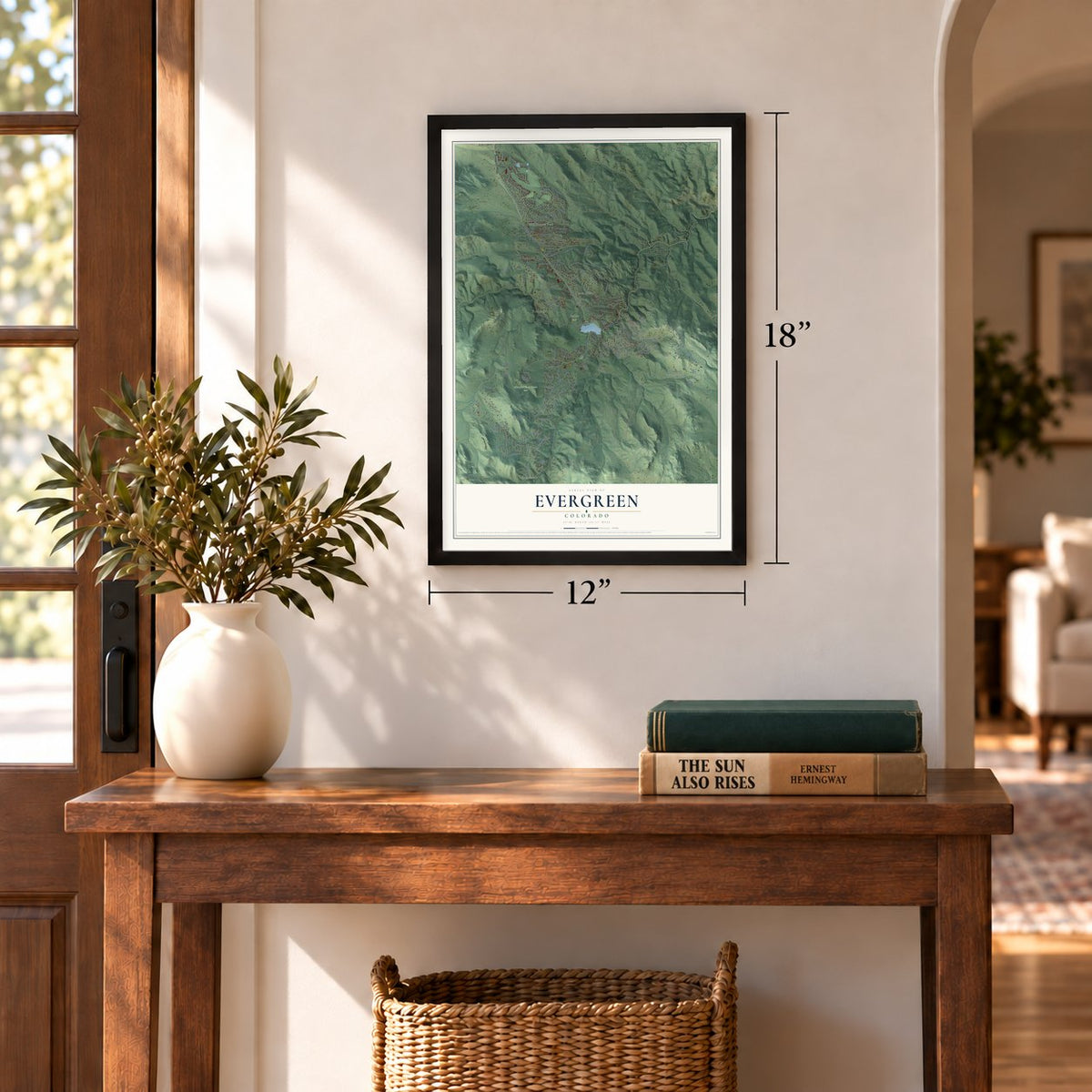
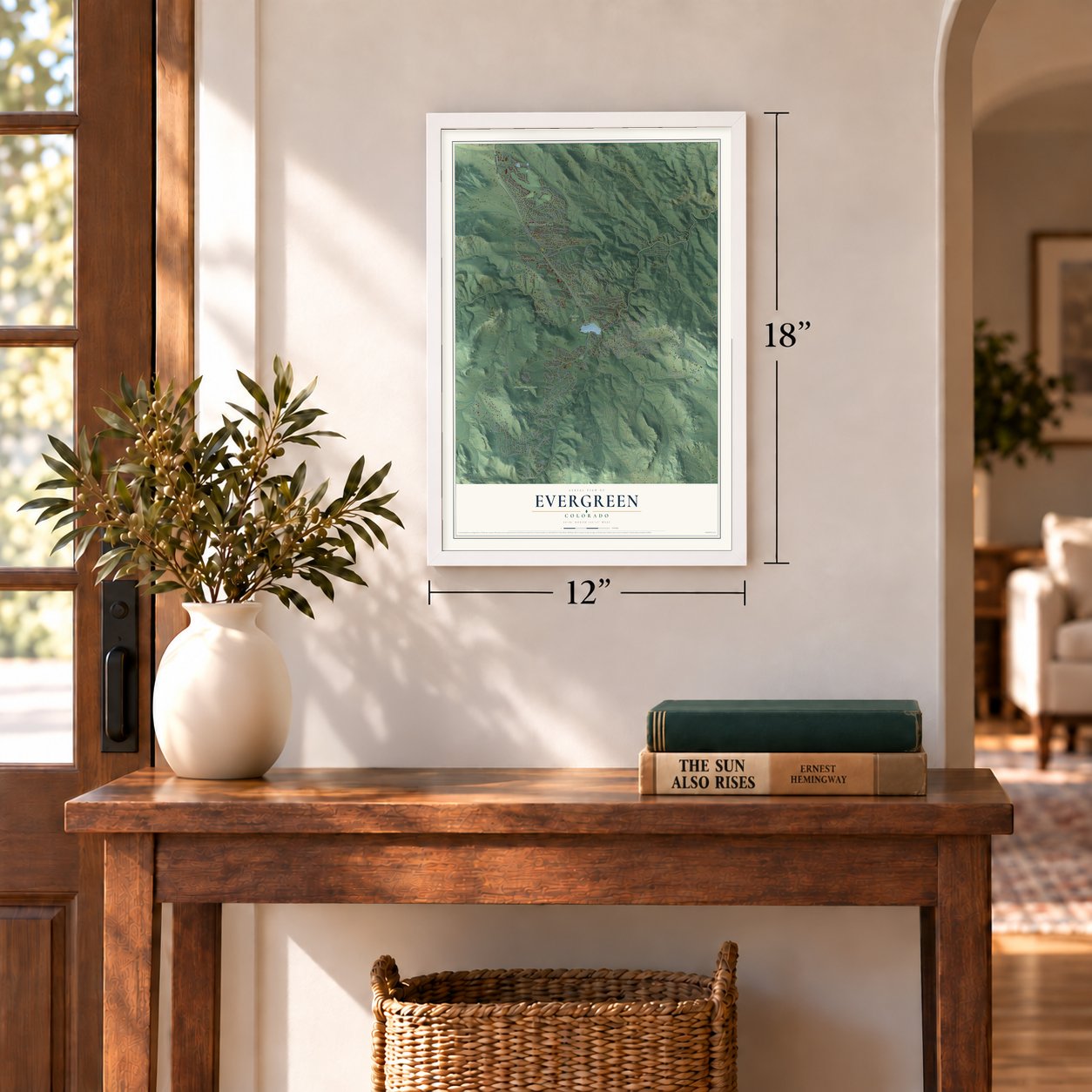
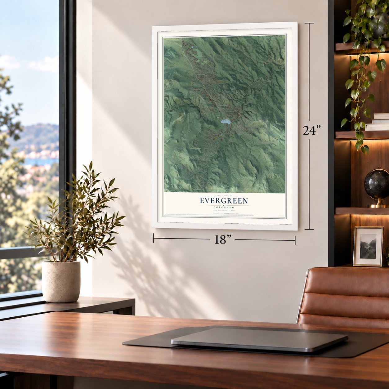
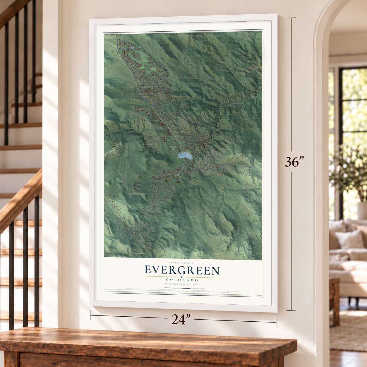
Unframed archival matte, a black wood frame or a white wood frame.
Up close
Geography Worth Displaying
This map was created using accurate cartographic data and authoritative geographic sources, including the U.S. Geological Survey and the Census Bureau. The map brings together terrain, waterways, roads, and building detail. The majority of the streets are labeled, houses are accurately depicted, and the topography is derived from government sources. Combining local data with carefully composed color and shading leads to this beautifully detailed Evergreen artwork for your wall.
Rather than simply showing street outlines, we’ve included as many of the street names as we could reasonably fit on the map while keeping their names legible. Zoom in on the high resolution preview to see exactly what’s on the map. We truly set out to create a statement piece for anyone who loves Evergreen. So whether it’s for you, or a gift for someone you love, we hope this map of Evergreen brings back fond memories.
Read the story behind this map of Evergreen, Colorado from 2026.

Find your street
Names on the Evergreen map
Every name below is printed on this map. Look for your street, your school, the park where you played, or the pond down the road.
Places and landmarks6
- Wah Keeney Park
- Dedisse Park
- Sprucedale
- Stanley Park
- Troutdale
- Hiwan Hills
Streets and roads165
- Evergreen Parkway
- Bear Creek Road
- Aspen Lane
- South Olive Road
- Spruce Road
- High Road
- Moffat Road
- Independence Trail
- Meadow Drive
- Alpine Drive
- South Elaine Road
- Buffalo Park Road
- Interlocken Drive
- Upper Bear Creek Road
- Hiwan Drive
- South Hiwan Drive
- Snowshoe Road
- Stagecoach Boulevard
- South Brook Forest Road
- Isenberg Lane
- Bear Mountain Drive
- Fern Gulch Road
- Troutdale Scenic Drive
- Pebble Beach Drive
- South Buffalo Park Road
- Roan Drive
- Horseshoe Drive
- Arapahoe Drive
- Niakwa Road
- Douglas Park Road
Show all 165 streets
- Inverness Drive
- Hatch Drive
- South Hatch Drive
- Quarter Horse Road
- Pine Drive
- Lewis Ridge Road
- Island Drive
- Buchanan Drive
- Evergreen Parkway Access Road
- Chestnut Drive
- Clover Lane
- Fireweed Drive
- Sue Road
- Ponderosa Drive
- Hilltop Drive
- Lee Road
- Cliff Road
- South Cliff Road
- Blue Spruce Road
- Monroe Drive
- Maggie Lane
- Fairway Drive
- Paint Brush Drive
- Little Cub Creek Road
- Dorothy Road
- Pinehurst Drive
- Golf Way
- Canterbury Circle
- Olympia Circle
- Bluebell Lane
- Appaloosa Drive
- Medinah Drive
- Fir Drive
- Gigi Road
- Middleton Road
- Bryant Drive
- Bronco Road
- Wild Flower Trail
- Vista Drive
- Lupine Drive
- Old Gulch Road
- Olive Lane
- Hazel Road
- Arena Drive
- Iris Drive
- Broadmoor Drive
- Scotia Road
- Grouse Court
- Songbird Lane
- Lee Drive
- Gigi Drive
- Ridge Road
- South Pine Road
- Hidden Village Drive
- Cedar Circle
- South Amaro Drive
- Forest Hill Road
- South Pebble Beach Drive
- Mountain Park Road
- South Arapahoe Drive
- Pinecrest Mountain Road
- Hilltop Road
- Manitoba Drive
- Overlook Trail
- Elaine Road
- El Pinal Drive
- Evergreen Heights Drive
- South Jackpine Road
- Columbine Road
- Wild Rose Drive
- Timbergate Trail
- Highway 74 Frontage Road
- Peggy Lane
- Palo Verde Road
- Bell Park Drive
- Stanley Park Road
- Clubhouse Lane
- Broce Ranch Trail
- Peach Lane
- King Drive
- South Columbine Drive
- Valley Drive
- Augusta Drive
- Country Club Lane
- Bergen Parkway
- 3 Sisters Circle
- Greenwood Lane
- San Souci Court
- Woods Drive
- South Syndt Road
- Fern Gulch Drive
- Trinchera Trail
- South Betty Lane
- Palomino Drive
- Sue Circle
- Braeburn Lane
- Lois Lane
- Sunset Lane
- Lewis Lane
- South Bit Road
- Erie Run
- Kiva Lane
- Thimbleberry Lane
- South Blue Spruce Road
- White House Trail
- Pine Road
- Spring Valley Trail
- Camel Heights Road
- Abbey Road
- Troutdale Ridge Road
- Posy Lane
- South Hearth Drive
- Bannock Lane
- Bent Tree Trail
- Olympia Lane
- Ohtama Drive
- Gallery Lane
- Forest Trail
- Roon Road
- South Interlocken Drive
- Sprucedale Park Way
- Liberty Drive
- Torrey Pine Drive
- Carriage Loop Drive
- Creekside Lane
- American Parkway
- Clearwater Drive
- Western Lane
- Meadow Rue Road
- Harebell Lane
- Miwok Trail
- Shasta Lane
- Roan Road
- Modoc Lane
- Alice Drive
Names are listed as they appear on the printed map. Zoom into the product photos to find them.
About Evergreen, Colorado
Evergreen is a community of 9,307 people in Jefferson County, set in the Front Range foothills 19 miles west of Denver. Settlers first came to the area in 1859, when this ground still belonged to the Territory of Kansas, and the town took its name from the evergreen trees growing all around it.
On July 17, 1876, a post office opened here under the name Evergreen, Colorado Territory. Evergreen has never incorporated, so Jefferson County keeps up its roads and runs its schools and sheriff's patrols, while Evergreen Fire/Rescue and the Evergreen Metropolitan District handle fire, water and sewer service.
- Rooms built around treesIn 1886 John Spence was building a one-story log barn when Mary Neosha Williams bought it. For the next ten years she kept him on to enlarge it, on one condition: he could not cut the big evergreens nearby. The house grew around the standing trees, giving it odd room layouts, and gained two-story octagonal towers at each end. As Camp Neosha, the Hiwan Homestead became the center of the Episcopal Church's summer Evergreen Conference.
- A lake on Bear Creek, 1927Evergreen Lake was made in 1927 by building a dam across Bear Creek, just above downtown. In winter the lake becomes a skating rink, usually from around Christmas into late March, depending on the ice. Skaters gather for Skate the Lake when the year ends, and the Evergreen Pond Hockey Championship usually takes over the ice during the first weekend of January.
- A monument to the blue spruceA town named for its evergreens keeps a monument to one of them. The Colorado Blue Spruce Monument stands in Evergreen in honor of the state tree.
Keep exploring Colorado
Evergreen is one of 550 Colorado towns we've mapped. Every dot on the map is a print of its own.
The search covers every state, Colorado first.
Near Evergreen
Order 2 or more town maps and save 10%. Shown in the size and finish you picked above, so they hang as a set.
- Kittredge 12" x 18" / Archival Matte Print $39.99
- Upper Bear Creek 12" x 18" / Archival Matte Print $39.99
- Echo Hills 12" x 18" / Archival Matte Print $39.99

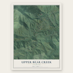
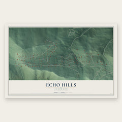
More maps nearby: Indian Hills, Marshdale, Upper Witter Gulch, Genesee and Brook Forest.
The art of mapping a place
How This Map Was Made
Real places. Remarkable detail. Discover the layers that turn geographic data into a map of home.

The view from above
Aerial imagery reveals the character of the land: woodland, open fields, and the patterns of a place.

The shape of the land
Elevation data brings hills, valleys, and subtle changes in the landscape into view.

The details of home
Roads, waterways, and building footprints come together to make the map feel unmistakably local.

Geography becomes art
Considered color, shading, and typography bring the layers together in a map made for your wall.


Process illustrated with Mendon, Massachusetts. Aerial imagery: USDA NAIP. Terrain: USGS 3D Elevation Program. Map details and finished artwork: KNOWOL.
The Details
About This Print
Choose an archival matte print, or a black or white Ayous wood frame. The archival matte print is unframed.
Select your size and finish above to see the matching product image and price.
Materials & Craftsmanship
A contemporary map with the character of a classic atlas, printed on archival matte paper. Optional frames are made from Ayous wood.
Your printed map does not include the watermark shown in the full-map preview.
Shipping & Delivery
Free shipping within the United States. Every print is made to order in the USA.
Buying a gift? Add a note in your cart and we'll include it. We never put prices in the package.
Prints ship within 2 to 3 business days. Allow 7 to 10 days total from ordering for delivery. Timing may vary during holidays or periods of high order volume.
Read our shipping policy.
Returns and damaged prints
Each print is made to order. Change-of-mind refunds are not available after production.
If your print arrives damaged, misprinted or incorrect, contact support@knowol.com within 30 days of receiving it. Include your order number, photos and a description of the issue.
Read our full refund and replacement policy. For questions about your order, email support@knowol.com.