
Search for another town
Free U.S. delivery 7 to 10 days after you order
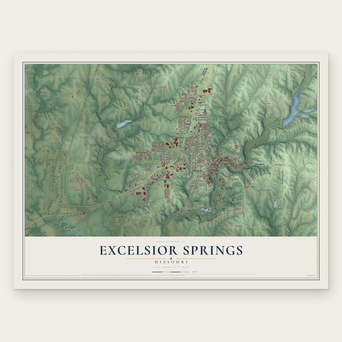
Excelsior Springs, Missouri Map Art
Building by building, with labeled streets and shaded relief.
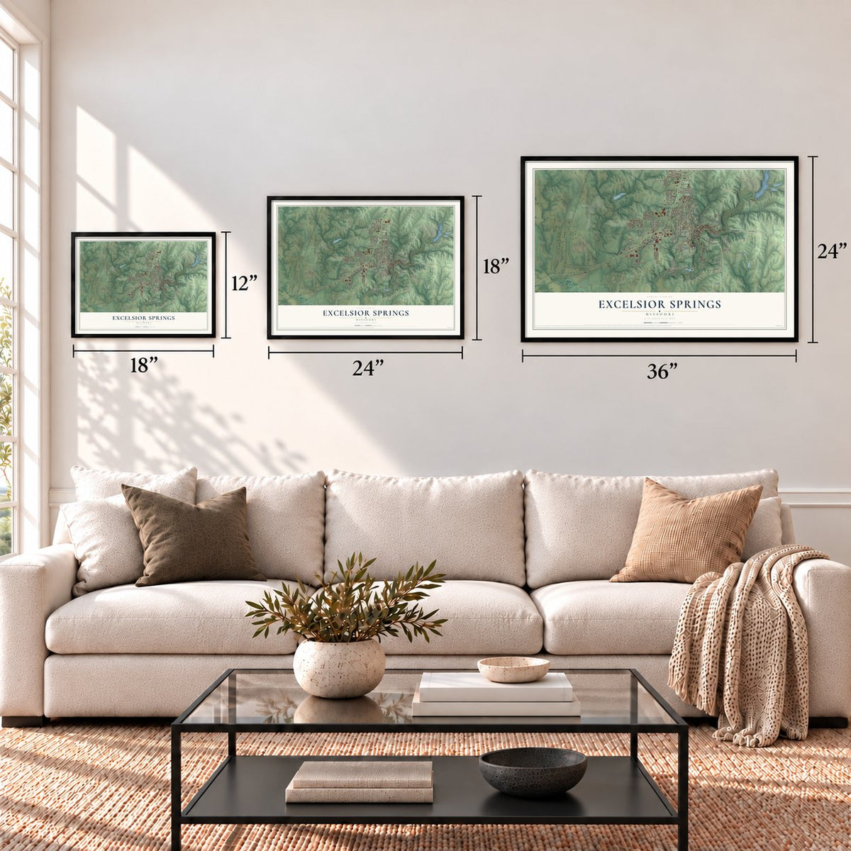
12" x 18" Archival Matte Print
A Map of Home. A Work of Art.
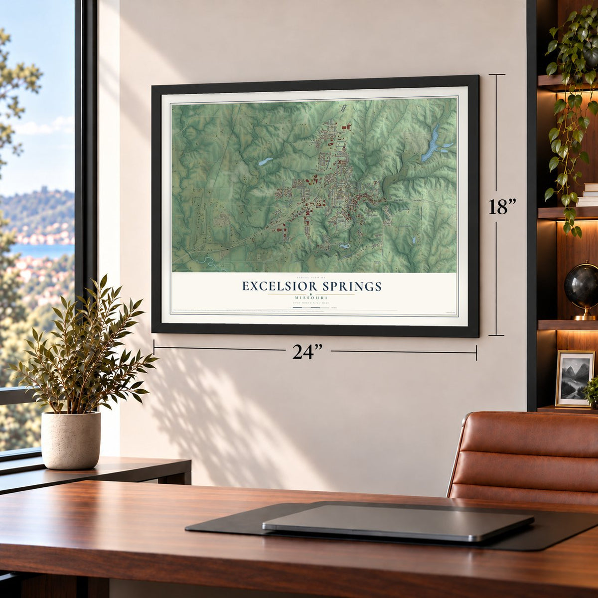
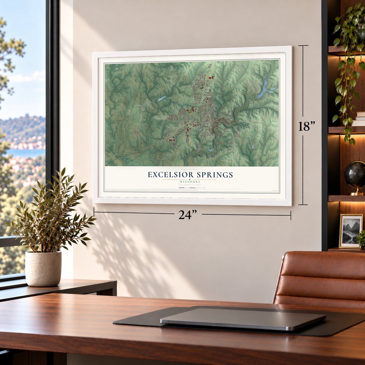
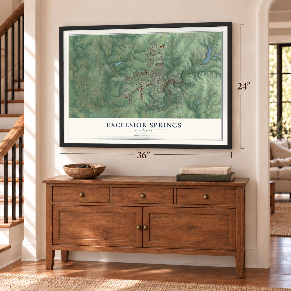
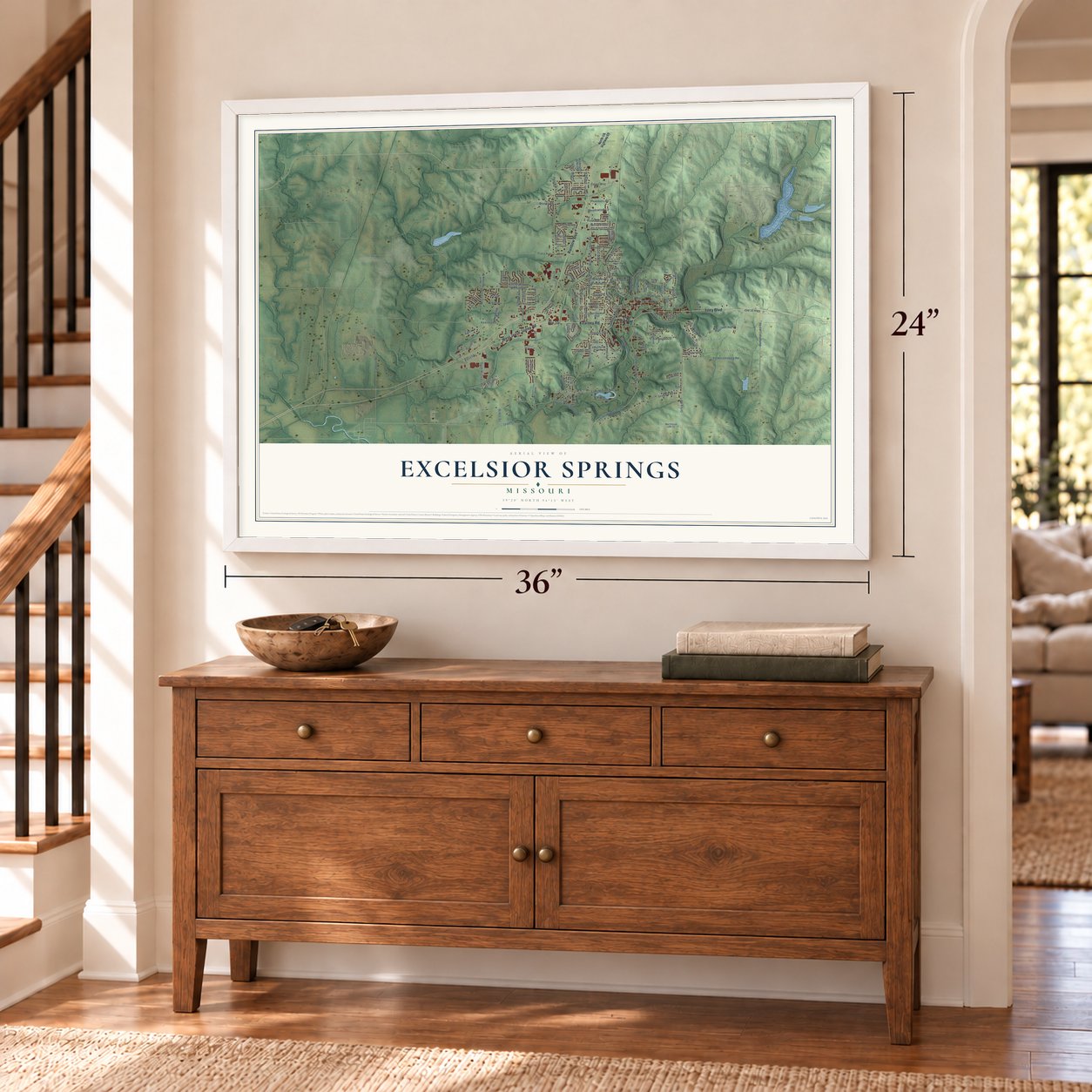
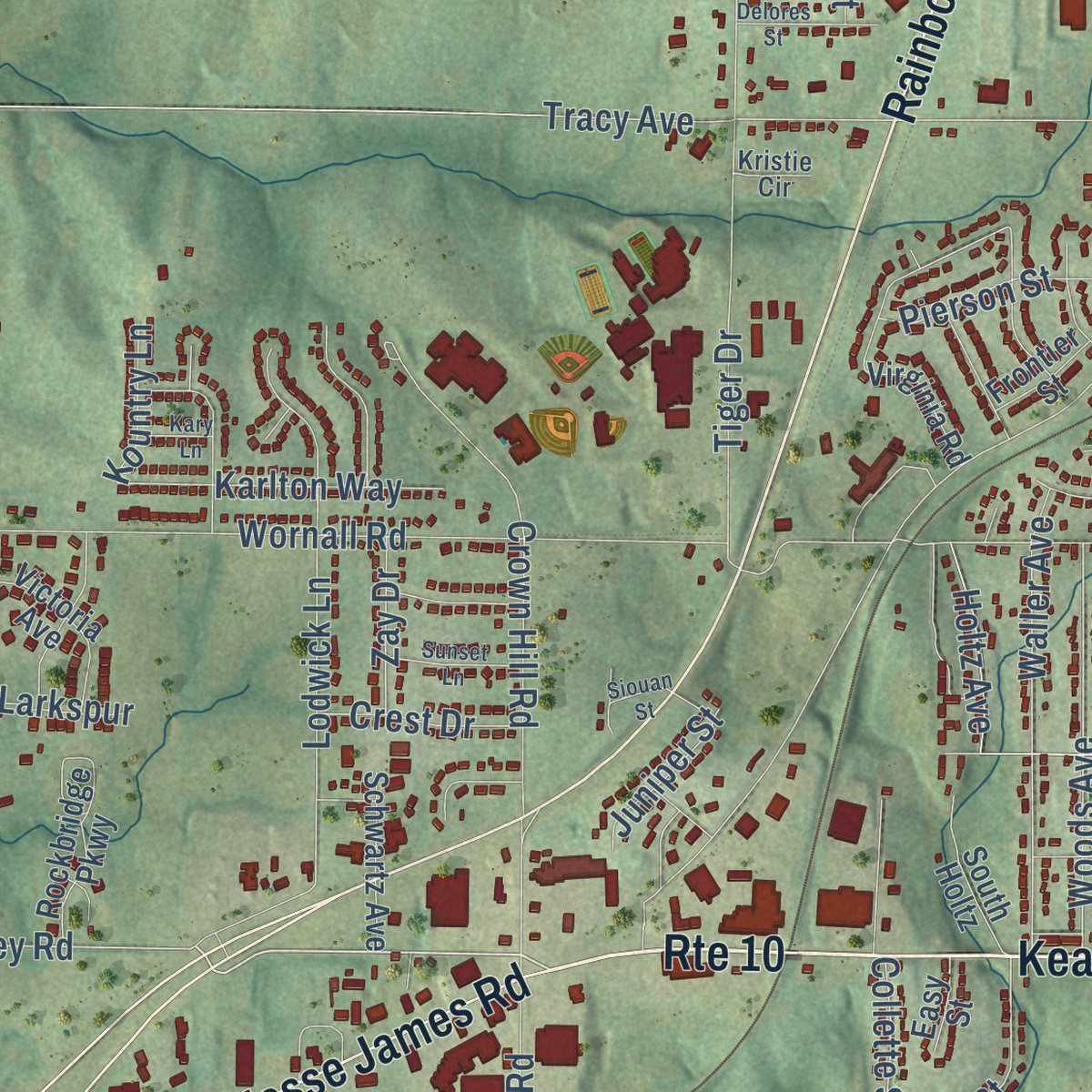
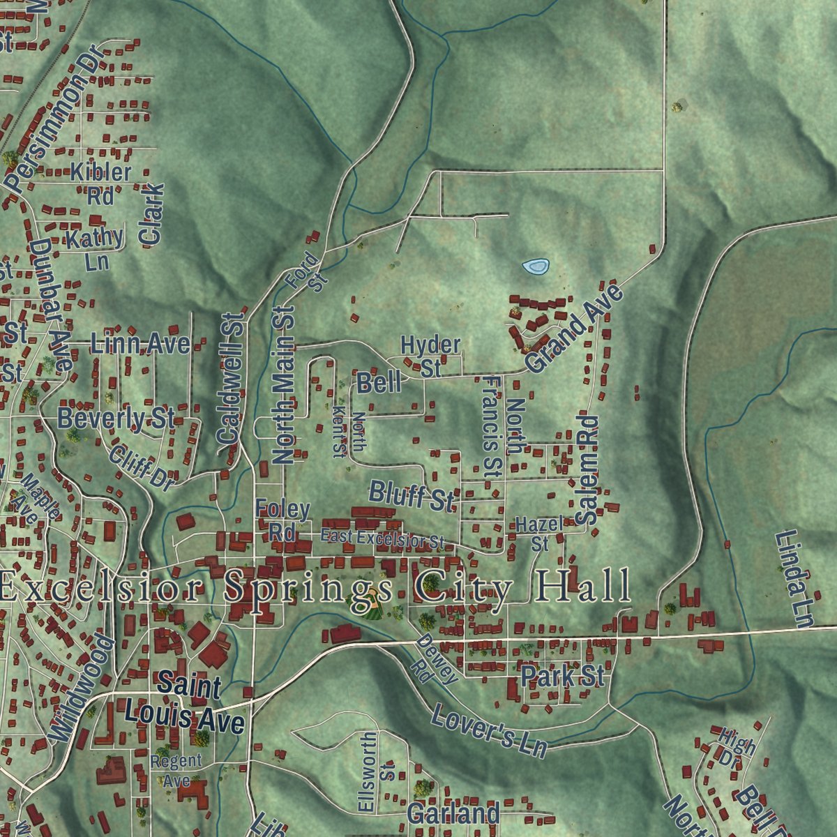
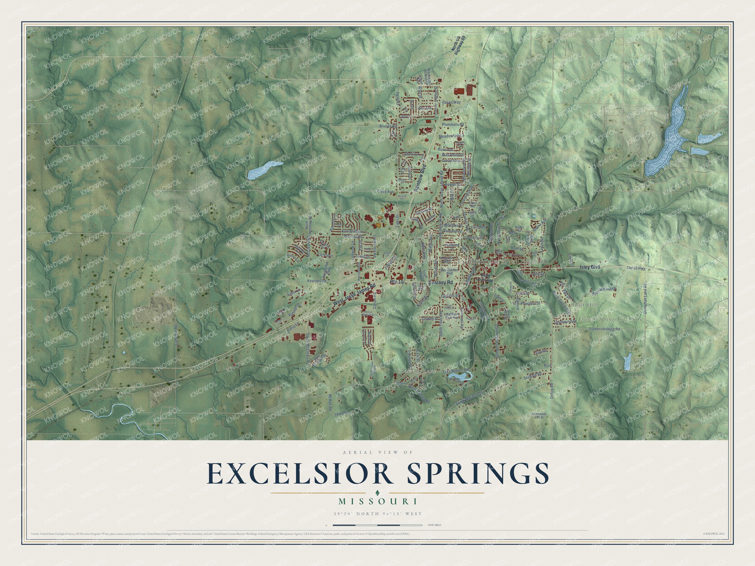
Explore Excelsior Springs, Missouri from a whole new perspective. Created using aerial imagery and detailed geographic data, this map captures Excelsior Springs building by building, with labeled streets, familiar landmarks, and shaded topographical relief that highlights the natural contours of the landscape.
Combining modern data with the timeless character of a vintage atlas, this map is just as interesting up close as it is beautiful on the wall. Whether you grew up in Excelsior Springs, spent memorable years there, or call it home today, this unique map is a great way to celebrate a place that means something to you. Zoom in on the preview to look for your street, and then order a print to put your memories on the wall.
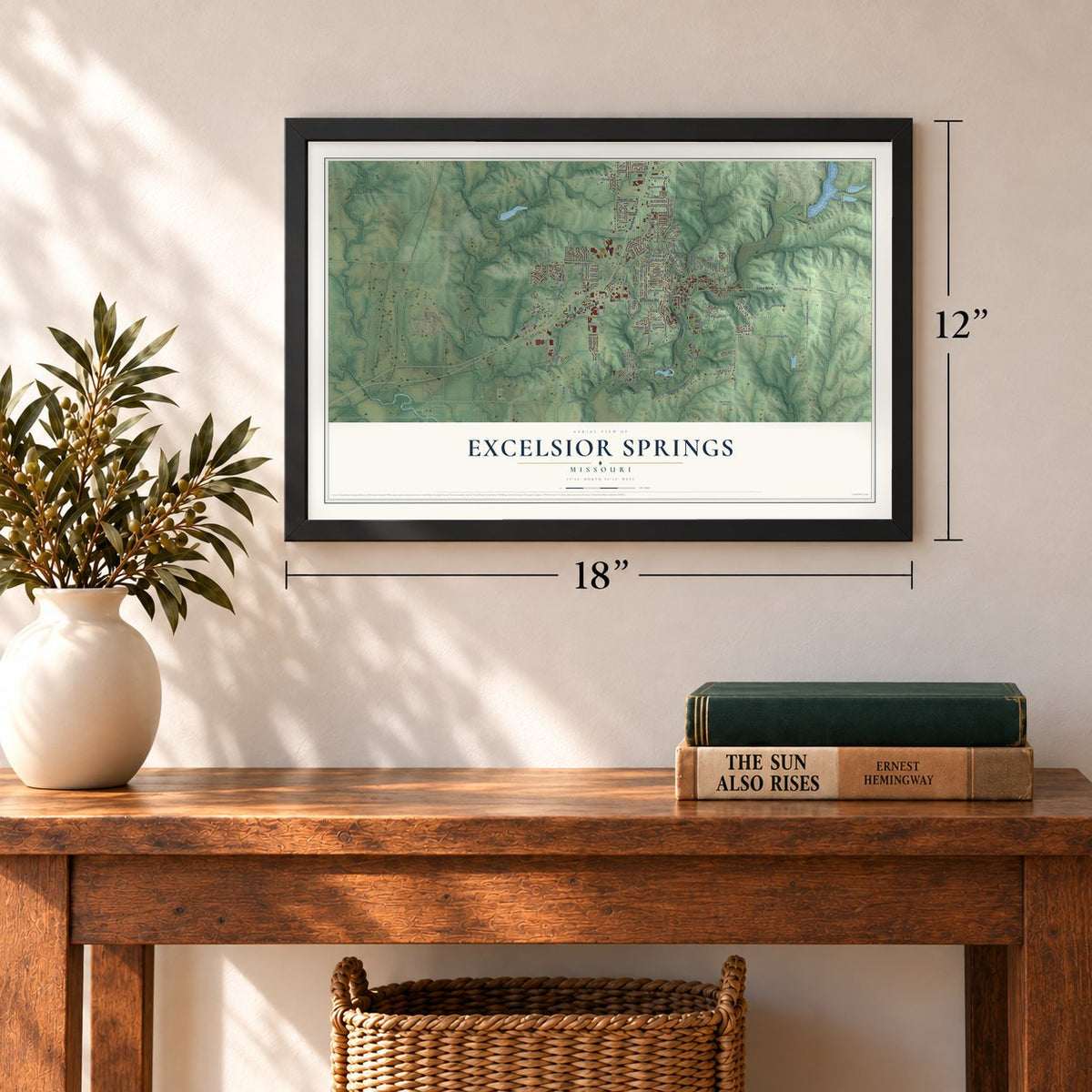
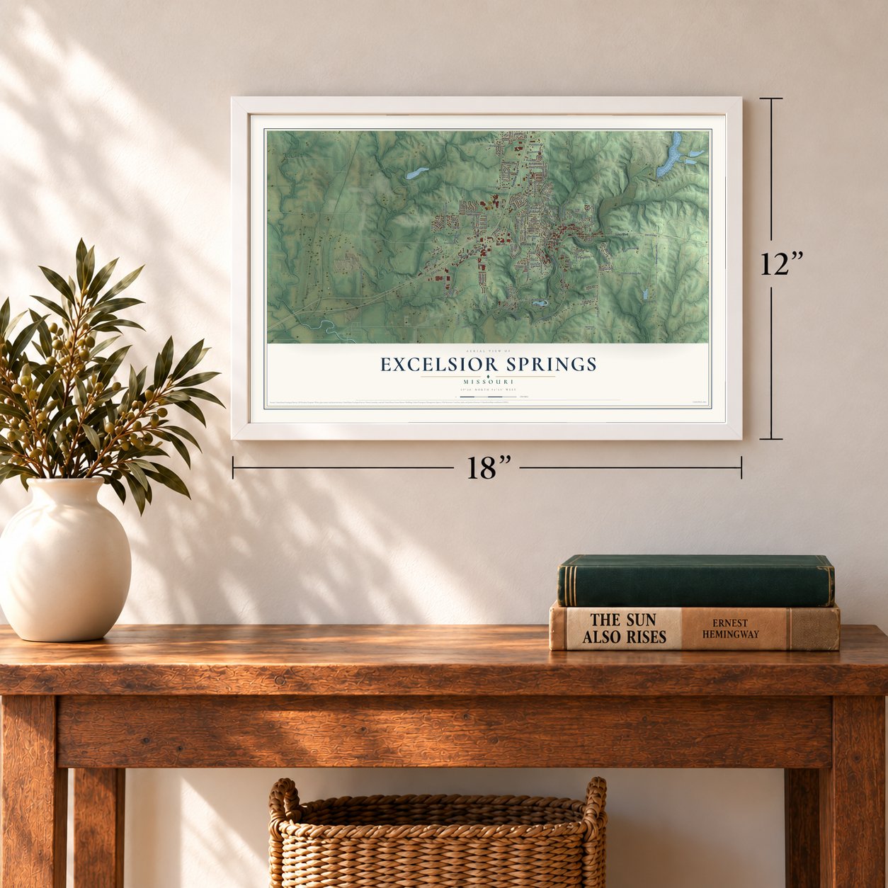
Three ways to hang it
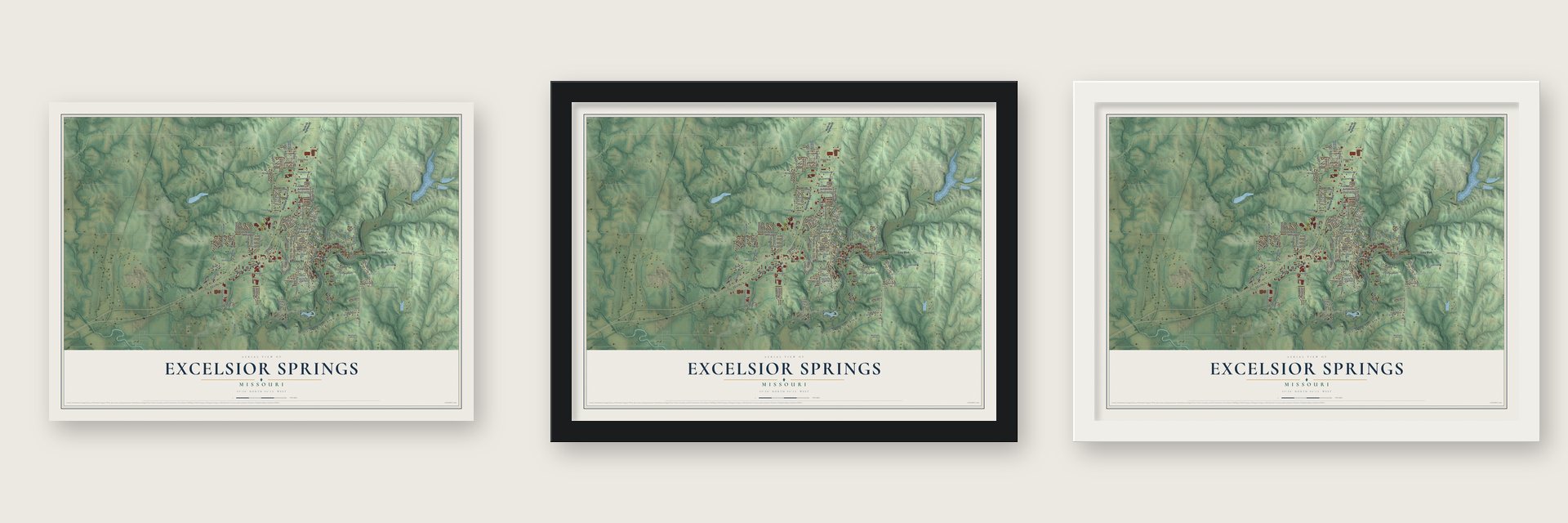
Unframed archival matte, a black wood frame or a white wood frame.
Up close
Geography Worth Displaying
This map was created using accurate cartographic data and authoritative geographic sources, including the U.S. Geological Survey and the Census Bureau. The map brings together terrain, waterways, roads, and building detail. The majority of the streets are labeled, houses are accurately depicted, and the topography is derived from government sources. Combining local data with carefully composed color and shading leads to this beautifully detailed Excelsior Springs artwork for your wall.
Rather than simply showing street outlines, we’ve included as many of the street names as we could reasonably fit on the map while keeping their names legible. Zoom in on the high resolution preview to see exactly what’s on the map. We truly set out to create a statement piece for anyone who loves Excelsior Springs. So whether it’s for you, or a gift for someone you love, we hope this map of Excelsior Springs brings back fond memories.
Read the story behind this map of Excelsior Springs, Missouri from 2026.
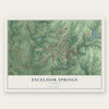
Find your street
Names on the Excelsior Springs map
Every name below is printed on this map. Look for your street, your school, the park where you played, or the pond down the road.
Places and landmarks4
- Excelsior Springs City Hall
- Golf Hill
- Crescent Lake
- Excelsior Springs Golf Course
Streets and roads157
- Kearney Road
- Isley Boulevard
- Rainbow Boulevard
- West Jesse James Road
- Route 10
- South Marietta Street
- Caldwell Street
- Lake Maurer Road
- State Highway North
- Park Street
- Italian Way
- McKee Road
- Seybold Road
- West Seybold Road
- North Golf Hill Drive
- North Main Street
- 124th Street
- Dunbar Avenue
- Orrick Road
- McCleary Road
- Brunke Road
- South McCleary Road
- Beverly Street
- North Jesse James Road
- Wornall Road
- Corum Road
- Lynn Road
- East Golf Hill Drive
- Fredericksburg Road
- South Titus Avenue
Show all 157 streets
- Tracy Avenue
- Cameron Road
- Milwaukee Street
- Lodwick Lane
- Salem Road
- Crown Hill Road
- Old 10 Highway
- Grand Avenue
- Doniphan Lake Road
- Prospect Street
- Waller Avenue
- Garland
- North Titus Avenue
- Tiger Drive
- Victory Lane
- Woods Avenue
- Jill Lane
- Lover's Lane
- Zay Drive
- East Street
- Larkspur
- Meadowlark Lane
- Karlton Way
- Vintage Drive
- Pierson Street
- Patsy Lane
- Williams Street
- Carla Street
- Plummers Road
- Rose Avenue
- Kevin Street
- May Street
- Sherri Lane
- Michele Drive
- Bell Drive
- Wildwood
- Southwind Drive
- Persimmon Drive
- Collette Street
- Joy Street
- Juniper Street
- Holtz Avenue
- Crest Drive
- Arbor Lane
- Miss Belle Street
- Rowell Street
- Cordell Street
- Birch Street
- Cypress Street
- Central Street
- Bluff Street
- Ann Avenue
- Linn Avenue
- Kountry Lane
- Elm Road
- Dagley Street
- Linda Lane
- Liberty
- West Street
- Clark
- Bell
- North US Highway 69
- Saint Louis Avenue
- South Kansas City Avenue
- Magnolia West
- North McCleary Road
- Virginia Road
- Northeast 124 Street
- Northview Drive
- Saint Paul Street
- West Springs Way
- Cliff Drive
- Highland Street
- Sunset Strip
- Ley Street
- Madison Avenue
- North Francis Street
- Fine Street
- Highland Park Avenue
- Washington School Road
- Rockbridge Parkway
- Victoria Avenue
- Kibler Road
- Schwartz Avenue
- South Kent Street
- South Holtz
- Don Shelton Boulevard
- Foley Road
- Ashford Street
- Kathy Lane
- Birch
- Frontier Street
- Hyder Street
- Easy Street
- Dawn Avenue
- Hazel Street
- Ford Street
- Maple Avenue
- Sagamore Road
- Dewey Road
- High Drive
- Ellsworth Street
- South Crown Hill Road
- Stratton Street
- Golden Avenue
- June Boulevard
- Crescent Avenue
- Grove
- Aspen Lane
- Ann Circle
- Kristie Circle
- East Excelsior Street
- Regent Avenue
- Walnut
- Rosalea Street
- Orchard Place
- Delores Street
- Sunset Lane
- Wabash
- East Forrest Lane
- Johnson Industrial Drive
- North Kent Street
- Vintage Court
- Kary Lane
- Siouan Street
- Merlot Place
- Celia Circle
Names are listed as they appear on the printed map. Zoom into the product photos to find them.
About Excelsior Springs, Missouri
Excelsior Springs is a city of 10,553 people in Clay County, on the East Fork Fishing River about 30 miles northeast of Kansas City. In 1880 a Black farmer named Travis Mellion was desperate to help his daughter Opal, who had scrofula. Campers nearby told him about a spring seeping out of the riverbank. Opal drank its water, grew noticeably better within a few weeks and went on to recover.
Word of the cure spread, and Rev. John Van Buren Flack came that same year to study the water. He told landowner Anthony W. Wyman to plat his land, have the water tested and advertise its healing powers. On August 17, 1880, the two men founded Excelsior, naming the spring for a Longfellow poem. Southern Missouri already had a town by that name, so the post office used another one until 1882, when the town became Excelsior Springs.
- A rare pair of springsW.P. Mason of the Rensselaer Polytechnic Institute tested the waters and found that the Siloam and Regent springs held bicarbonates of iron and manganese. That mix was known in only four springs in Europe, and these two were the only ones in the United States. With 20 mineral springs nearby, the town claimed the world's greatest collection of mineral waters. In 1893 Regent Spring water and Soterian ginger ale won medals at the Chicago World's Fair.
- The Elms, built three timesAfter the Chicago, Milwaukee and St. Paul railroad reached town in 1887, bringing many more visitors, the first Elms Hotel opened in 1888. Fire destroyed it. A second Elms was finished in 1908, and it burned too. The third Elms went up in 1912 and still stands. It joined the National Register in 1985.
- Hall of Waters, 1936 to 1938Architects Keene & Simpson built the Hall of Waters over the Siloam and Sulpho-Saline springs, and CBS carried its cornerstone ceremony on May 27, 1936, to 62 stations. The water bar opened in 1937, then a mineral water pool and hydrotherapy rooms, while a bottling department shipped five kinds of water worldwide. As the spa trade faded, bottling lost $25,000 by 1967 and the city closed it. The building, now City Hall, joined the National Register in 1983.
- Truman's election nightOn Election Day 1948, Harry S. Truman stayed the night at the Elms Hotel, when it looked as if Thomas E. Dewey would beat him. Early the next morning his aides woke him with the news that he had won, and they rushed him off to Kansas City.
Keep exploring Missouri
Excelsior Springs is one of 1,207 Missouri towns we've mapped. Every dot on the map is a print of its own.
The search covers every state, Missouri first.
Near Excelsior Springs
Order 2 or more town maps and save 10%. Shown in the size and finish you picked above, so they hang as a set.
- Prathersville 12" x 18" / Archival Matte Print $39.99
- Homestead 12" x 18" / Archival Matte Print $39.99
- Crystal Lakes 12" x 18" / Archival Matte Print $39.99

More maps nearby: Excelsior Estates, Mosby, Wood Heights, Vibbard and Kearney.
The art of mapping a place
How This Map Was Made
Real places. Remarkable detail. Discover the layers that turn geographic data into a map of home.

The view from above
Aerial imagery reveals the character of the land: woodland, open fields, and the patterns of a place.

The shape of the land
Elevation data brings hills, valleys, and subtle changes in the landscape into view.

The details of home
Roads, waterways, and building footprints come together to make the map feel unmistakably local.

Geography becomes art
Considered color, shading, and typography bring the layers together in a map made for your wall.


Process illustrated with Mendon, Massachusetts. Aerial imagery: USDA NAIP. Terrain: USGS 3D Elevation Program. Map details and finished artwork: KNOWOL.
The Details
About This Print
Choose an archival matte print, or a black or white Ayous wood frame. The archival matte print is unframed.
Select your size and finish above to see the matching product image and price.
Materials & Craftsmanship
A contemporary map with the character of a classic atlas, printed on archival matte paper. Optional frames are made from Ayous wood.
Your printed map does not include the watermark shown in the full-map preview.
Shipping & Delivery
Free shipping within the United States. Every print is made to order in the USA.
Buying a gift? Add a note in your cart and we'll include it. We never put prices in the package.
Prints ship within 2 to 3 business days. Allow 7 to 10 days total from ordering for delivery. Timing may vary during holidays or periods of high order volume.
Read our shipping policy.
Returns and damaged prints
Each print is made to order. Change-of-mind refunds are not available after production.
If your print arrives damaged, misprinted or incorrect, contact support@knowol.com within 30 days of receiving it. Include your order number, photos and a description of the issue.
Read our full refund and replacement policy. For questions about your order, email support@knowol.com.