
Search for another town

Free U.S. delivery 7 to 10 days after you order
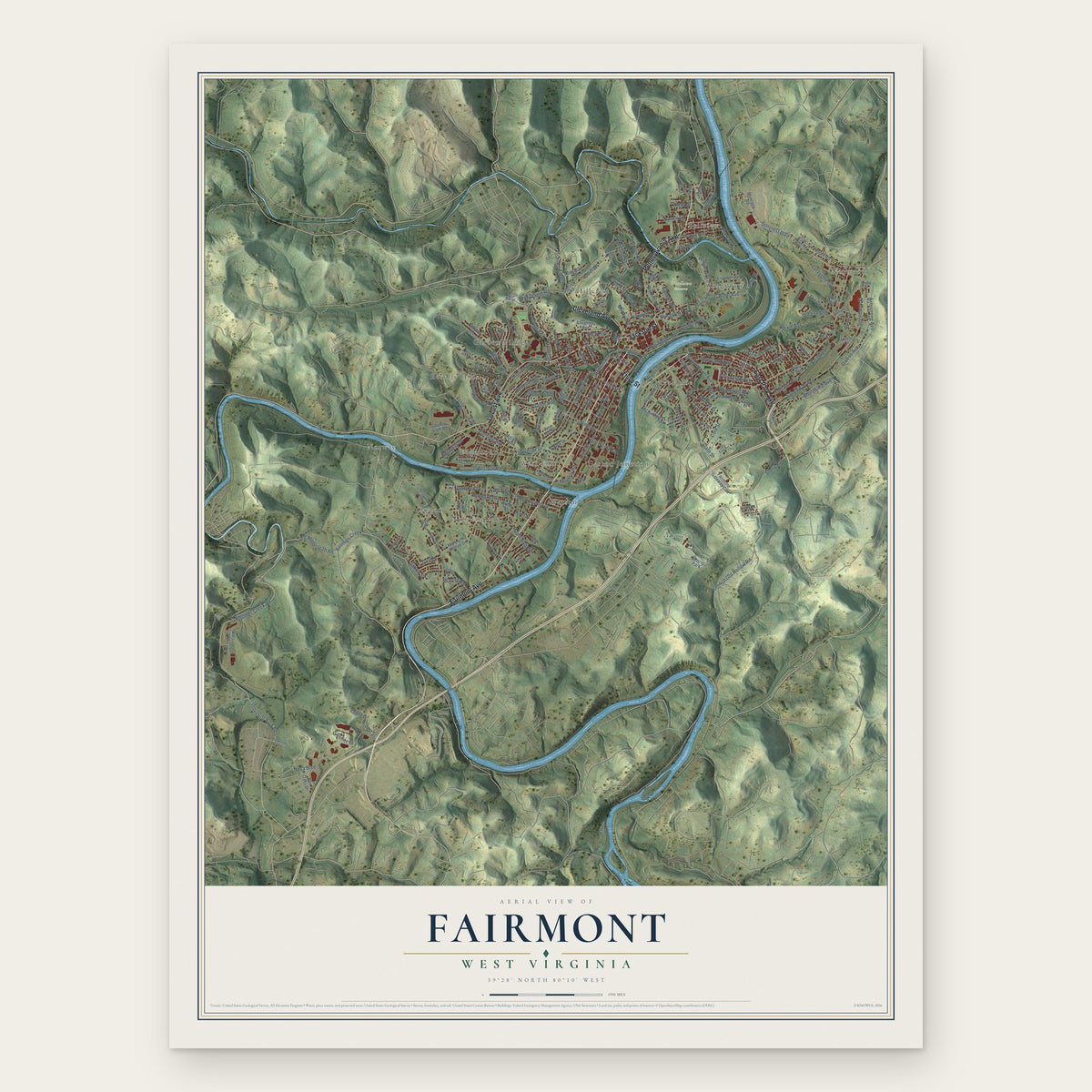
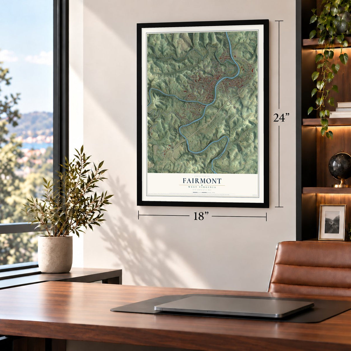
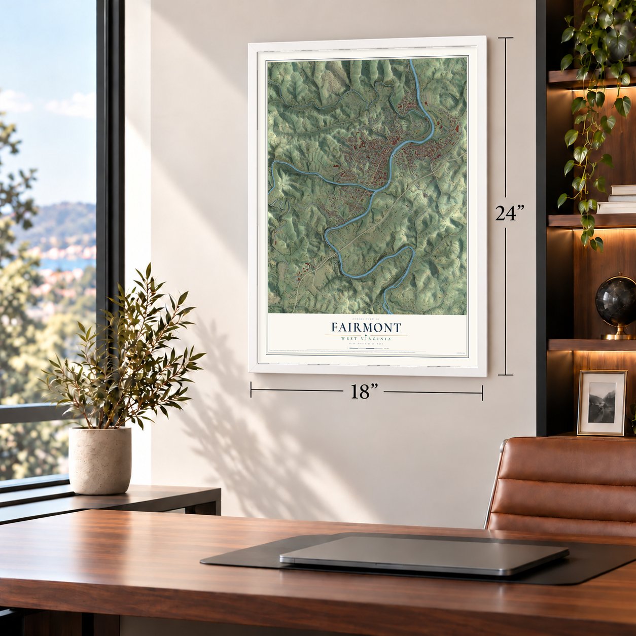
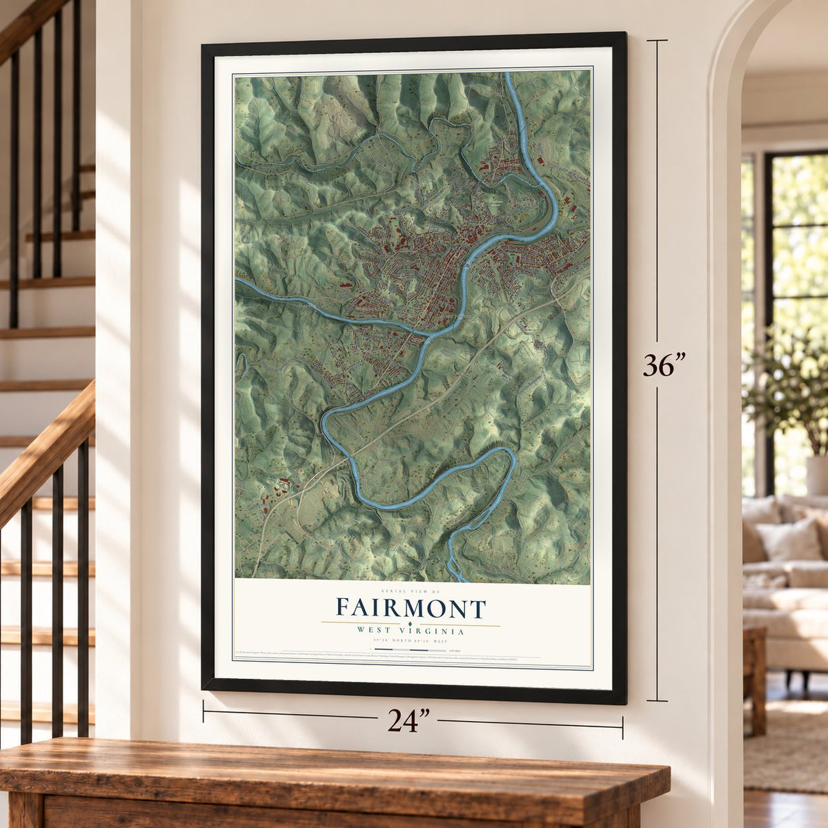
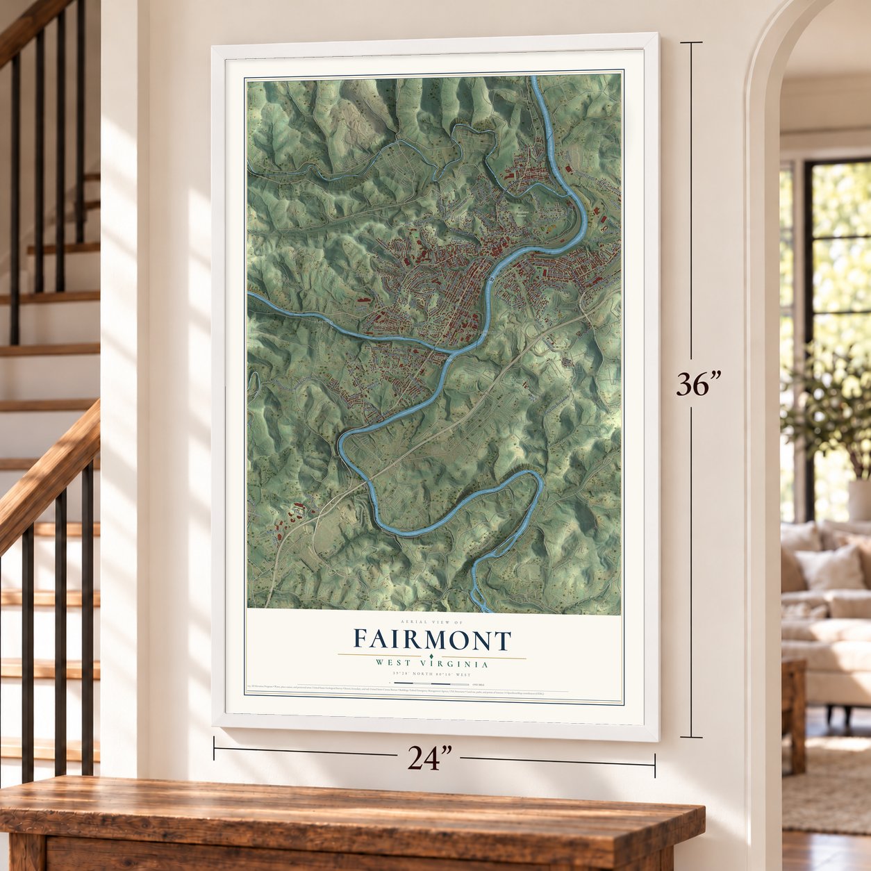
Fairmont, West Virginia Map Art
Building by building, with labeled streets and shaded relief.
12" x 18" Archival Matte Print
A Map of Home. A Work of Art.
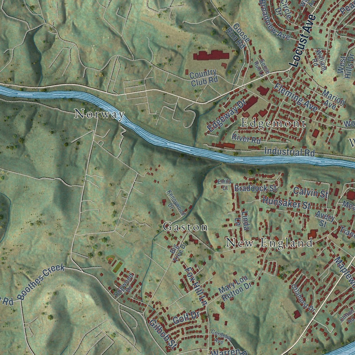
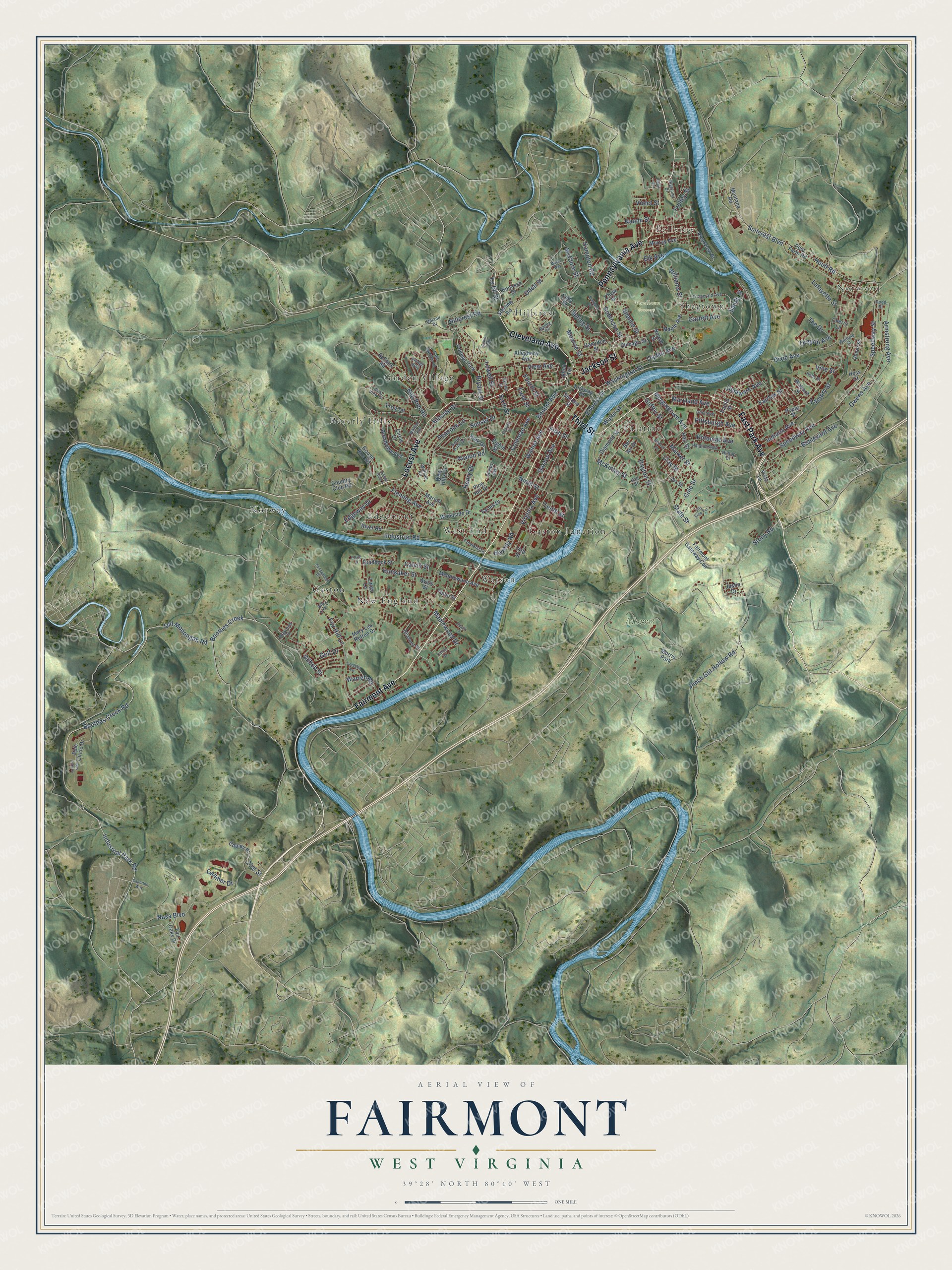
Explore Fairmont, West Virginia from a whole new perspective. Created using aerial imagery and detailed geographic data, this map captures Fairmont building by building, with labeled streets, familiar landmarks, and shaded topographical relief that highlights the natural contours of the landscape.
Combining modern data with the timeless character of a vintage atlas, this map is just as interesting up close as it is beautiful on the wall. Whether you grew up in Fairmont, spent memorable years there, or call it home today, this unique map is a great way to celebrate a place that means something to you. Zoom in on the preview to look for your street, and then order a print to put your memories on the wall.
Three ways to hang it
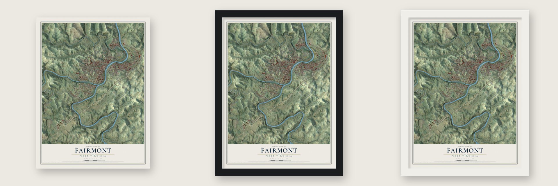
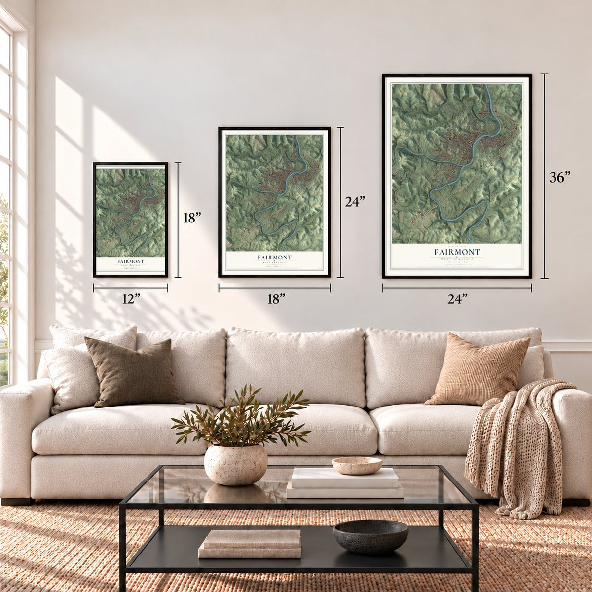
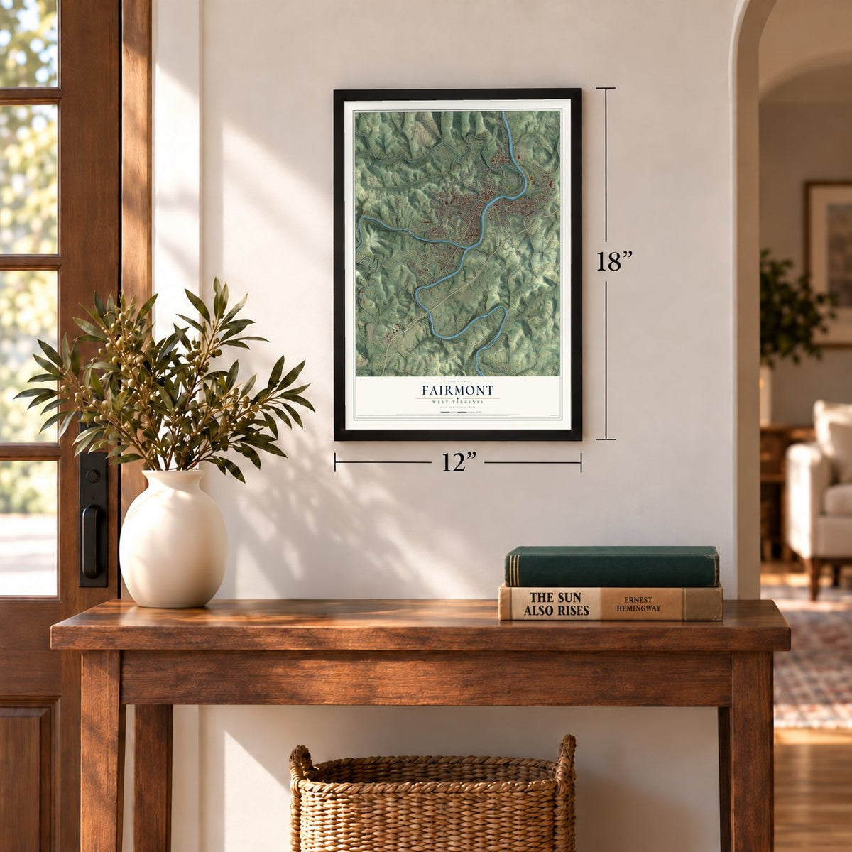
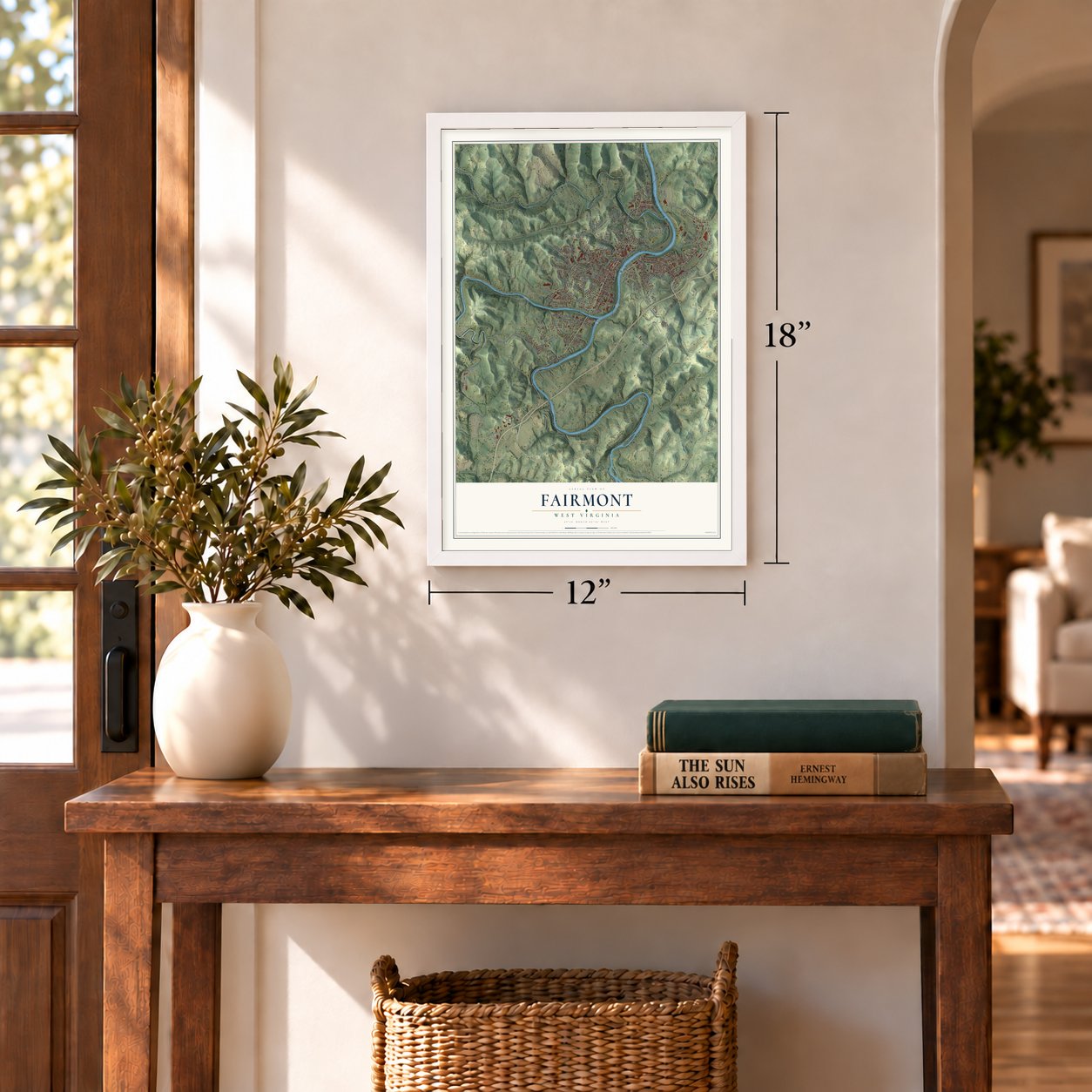
Unframed archival matte, a black wood frame or a white wood frame.
Up close
Geography Worth Displaying
This map was created using accurate cartographic data and authoritative geographic sources, including the U.S. Geological Survey and the Census Bureau. The map brings together terrain, waterways, roads, and building detail. The majority of the streets are labeled, houses are accurately depicted, and the topography is derived from government sources. Combining local data with carefully composed color and shading leads to this beautifully detailed Fairmont artwork for your wall.
Rather than simply showing street outlines, we’ve included as many of the street names as we could reasonably fit on the map while keeping their names legible. Zoom in on the high resolution preview to see exactly what’s on the map. We truly set out to create a statement piece for anyone who loves Fairmont. So whether it’s for you, or a gift for someone you love, we hope this map of Fairmont brings back fond memories.
Read the story behind this map of Fairmont, West Virginia from 2026.
Find your street
Names on the Fairmont map
Every name below is printed on this map. Look for your street, your school, the park where you played, or the pond down the road.
Places and landmarks17
- Norwood
- Bellview
- Morris Park
- Woodlawn Cemetery
- Beverly Hills
- Edgemont
- Garden Village
- Gaston
- Gaston Junction
- Hillcrest
- New England
- Norway
Show all 17 places
- Palatine
- Shagtown
- Watson
- West End
- College Park
Streets and roads185
- East Park Avenue
- Fairmont Avenue
- Cleveland Avenue
- Pennsylvania Avenue
- Locust Avenue
- Jackson Street
- Third Street
- Boothes Creek Road
- Old Monongah Road
- Industrial Park Road
- Boothes Creek
- Hoult Road
- Spring Street
- McKinley Street
- Fairfax Street
- Bryant Street
- Washington Street
- Morgantown Avenue
- Owens Avenue
- Speedway Avenue
- Speedway Street
- Suncrest Boulevard
- Nasa Boulevard
- Hillcrest Road
- Virginia Avenue
- Pinch Gut Hollow Road
- Industrial Road
- Gaston Avenue
- Dixie Avenue
- Coleman Avenue
Show all 185 streets
- Ninth Street
- Benoni Avenue
- Walnut Avenue
- Armstrong Avenue
- Beverly Road
- Maryland Avenue
- Bell Run Road
- Market Street
- Boulevard Avenue
- Peacock Lane
- Sixth Street
- Fourth Street
- Ogden Avenue
- Everest Drive
- Stony Road
- Odell Street
- Sunset Drive
- State Street
- View Avenue
- Galliher Drive
- Hillside Drive
- Factory Street
- Hampton Road
- Garrett Avenue
- Maplewood Drive
- Monroe Street
- Indiana Avenue
- Potomac Avenue
- Tenth Street
- Fifth Street
- Fleming Avenue
- McClure Street
- Robinson Street
- Field Street
- Lafayette Street
- Naomi Street
- Avalon Road
- Hunsaker Street
- Gilbob Street
- Edgeway Drive
- Dayton Street
- Henry Drive
- Oregon Avenue
- Trolley Street
- Golf Drive
- Delaware Avenue
- Pittsburgh Avenue
- Water Street
- Spence Street
- Warren Road
- Williams Street
- Cole Street
- Sands Street
- The Drive
- Guffey Street
- Lowell Street
- Violet Street
- Calvin Street
- Clay Street
- Fox Hill Lane
- Lo Ell Street
- Troy Lane
- Vine Street
- Elk Avenue
- 21st Street
- Poor Farm Road
- Maple Avenue
- Montana Road
- Eddy Street
- Fairmont Gateway Con
- Mary Lou Retton Drive
- Country Club Road
- Broadview Avenue
- Sterling Road
- Eighth Street
- Riverview Street
- Circle Drive
- Diamond Street
- Farms Drive
- Park Drive
- Murray Avenue
- Meadowlane Avenue
- Braddock Street
- Marion Avenue
- River Road
- Goose Run Road
- Avery Street
- Euclid Street
- Woodside Drive
- Copley Place
- Chicago Street
- Allegheny Avenue
- Chew Street
- Fair Oaks Drive
- Hamilton Street
- Kirkway Drive
- Bonasso Drive
- Bellaire Road
- West Hills Drive
- Orr Street
- Second Street
- Wabash Street
- Norval Street
- Vista Lane
- Hess Court
- Epic Circle Drive
- Linda Lane
- Tiano Street
- Rhea Terrace
- Pine Hill Drive
- 14th Street
- Union Street
- Pople Street
- Justin Drive
- Harr Street
- Cherry Lane
- Bel Air Drive
- Big Tree Drive
- Village Way
- East Garden Lane
- Otlahurst Drive
- Fitzgerald Avenue
- Upland Drive
- Bailey Circle
- Palatine Avenue
- Highland Drive
- Freeland Street
- Winfield Street
- Ohio Avenue
- South Park Drive
- Hall Street
- Center Street
- Dogwood Drive
- Walton Avenue
- Holly Street
- West View Drive
- William Road
- Shelby Avenue
- Hilltop Drive
- Dodd Street
- Kennywood Drive
- Moyer Way
- City View Terrace
- Beach Lane
- Cordelia Avenue
- Bus Park Drive
- Clifton Road
- Newton Street
- Bourbon Street
- Caperton Way
- Fleming Place
- Cabin Trail
- Goose Run Lane
- Emily Court
- Hood Street
Names are listed as they appear on the printed map. Zoom into the product photos to find them.
About Fairmont, West Virginia
Fairmont is a city of 18,416 people and the seat of Marion County, at the spot where the Tygart Valley and West Fork rivers join to form the Monongahela. In 1789 Boaz Fleming, a Revolutionary War veteran, bought a 254-acre farm here from Jonathan Bozarth. Every year he rode to Clarksburg to pay taxes in two counties, and in 1814 he tried to create a new county. Milford, the only town inside its lines, wanted to stay in Monongalia County, so the petition never reached the General Assembly.
Fleming then decided to build a town of his own. In 1817 his sons William and David began clearing the part of the farm that is now downtown. The town was called Middletown, and it sat about halfway between Morgantown and Clarksburg, so travelers stopped there to rest. It was incorporated on January 19, 1820. When Marion County took its present borders in 1842, Middletown became the county seat. William Haymond Jr. then suggested the name Fairmont for its fine view of the river, and the Borough of Fairmont was incorporated in 1843.
- A Confederate raid in 1863During the Civil War, Confederate General William E. Jones led his men into Fairmont. They cut the Union's supply lines and took food and horses. They also burned the books in Governor Francis Harrison Pierpont's personal library.
- From fire to coal boomMany early buildings were poorly built, and by 1852 much of the town was run-down. On April 2, 1876, fire swept the business district, burning much of it and many homes. Recovery came fast: the population rose from 1,000 in 1891 to 7,000 in 1901. The 1899 city charter added Palatine, or East Side, and West Fairmont. By 1901 the Baltimore and Ohio Railroad crossed the city, and about 10,000 men worked in nearby coal mines.
- Two schools on the RegisterFairmont State University began as Fairmont Normal School, a school for teachers, at Fairmont Avenue and Second Street. It moved to its present campus in 1917, and its Administration Building joined the National Register in 1994. Dunbar School, built in 1928 as an all-black high school and designed by William B. Ittner, was added in 2015.
- Home of the pepperoni rollThe pepperoni roll got its start at Country Club Bakery in Fairmont, which still bakes it. The city calls itself the pepperoni roll capital of the world.
- Thespians since 1929Harry T. Leeper, Dr. Paul Opp and Earnest Bavely started National Thespians in Fairmont in 1929 to honor high school theater students. Today the group is known as the International Thespian Society.
Keep exploring West Virginia
Fairmont is one of 514 West Virginia towns we've mapped. Every dot on the map is a print of its own.
The search covers every state, West Virginia first.
Near Fairmont
Order 2 or more town maps and save 10%. Shown in the size and finish you picked above, so they hang as a set.
- Pleasant Valley 12" x 18" / Archival Matte Print $39.99
- Barrackville 12" x 18" / Archival Matte Print $39.99
- Monongah 12" x 18" / Archival Matte Print $39.99
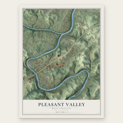
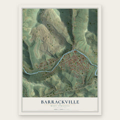
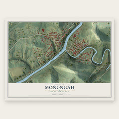
More maps nearby: Rivesville, White Hall, Baxter, Idamay and Farmington.
The art of mapping a place
How This Map Was Made
Real places. Remarkable detail. Discover the layers that turn geographic data into a map of home.

The view from above
Aerial imagery reveals the character of the land: woodland, open fields, and the patterns of a place.

The shape of the land
Elevation data brings hills, valleys, and subtle changes in the landscape into view.

The details of home
Roads, waterways, and building footprints come together to make the map feel unmistakably local.

Geography becomes art
Considered color, shading, and typography bring the layers together in a map made for your wall.


Process illustrated with Mendon, Massachusetts. Aerial imagery: USDA NAIP. Terrain: USGS 3D Elevation Program. Map details and finished artwork: KNOWOL.
The Details
About This Print
Choose an archival matte print, or a black or white Ayous wood frame. The archival matte print is unframed.
Select your size and finish above to see the matching product image and price.
Materials & Craftsmanship
A contemporary map with the character of a classic atlas, printed on archival matte paper. Optional frames are made from Ayous wood.
Your printed map does not include the watermark shown in the full-map preview.
Shipping & Delivery
Free shipping within the United States. Every print is made to order in the USA.
Buying a gift? Add a note in your cart and we'll include it. We never put prices in the package.
Prints ship within 2 to 3 business days. Allow 7 to 10 days total from ordering for delivery. Timing may vary during holidays or periods of high order volume.
Read our shipping policy.
Returns and damaged prints
Each print is made to order. Change-of-mind refunds are not available after production.
If your print arrives damaged, misprinted or incorrect, contact support@knowol.com within 30 days of receiving it. Include your order number, photos and a description of the issue.
Read our full refund and replacement policy. For questions about your order, email support@knowol.com.