
Search for another town


Free U.S. delivery 7 to 10 days after you order
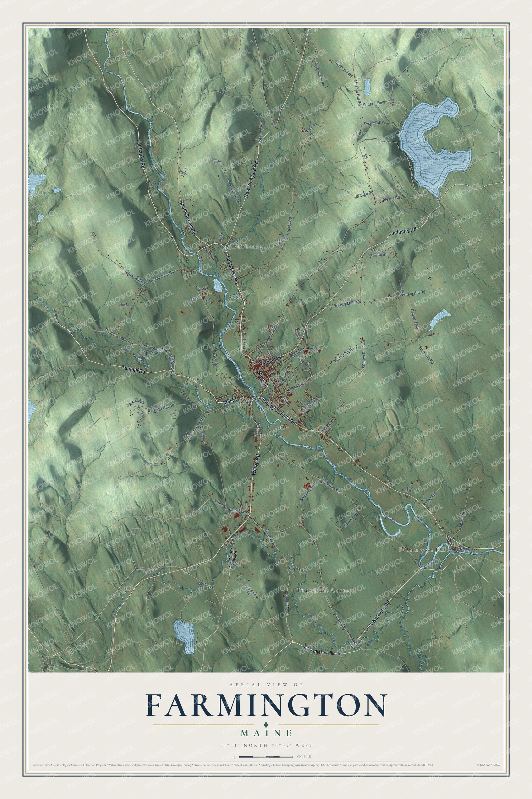
Farmington, Maine Map Art
Building by building, with labeled streets and shaded relief.
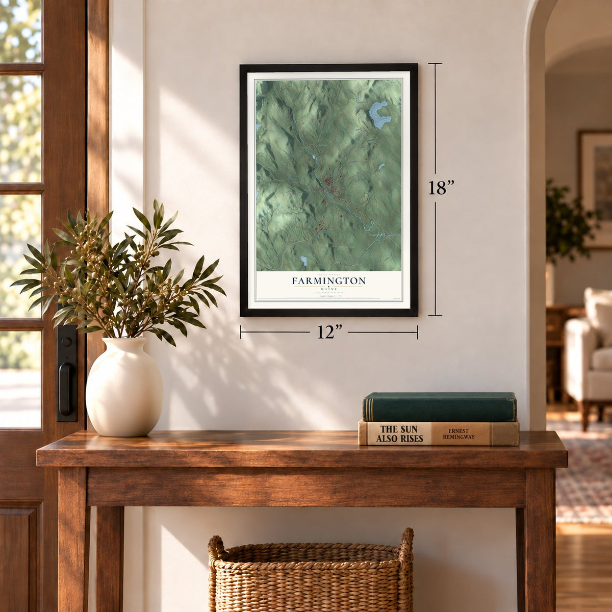
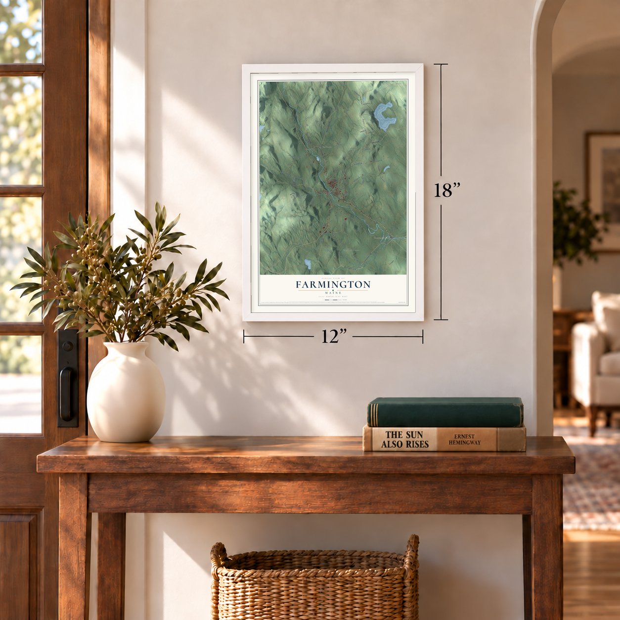
12" x 18" Archival Matte Print
A Map of Home. A Work of Art.
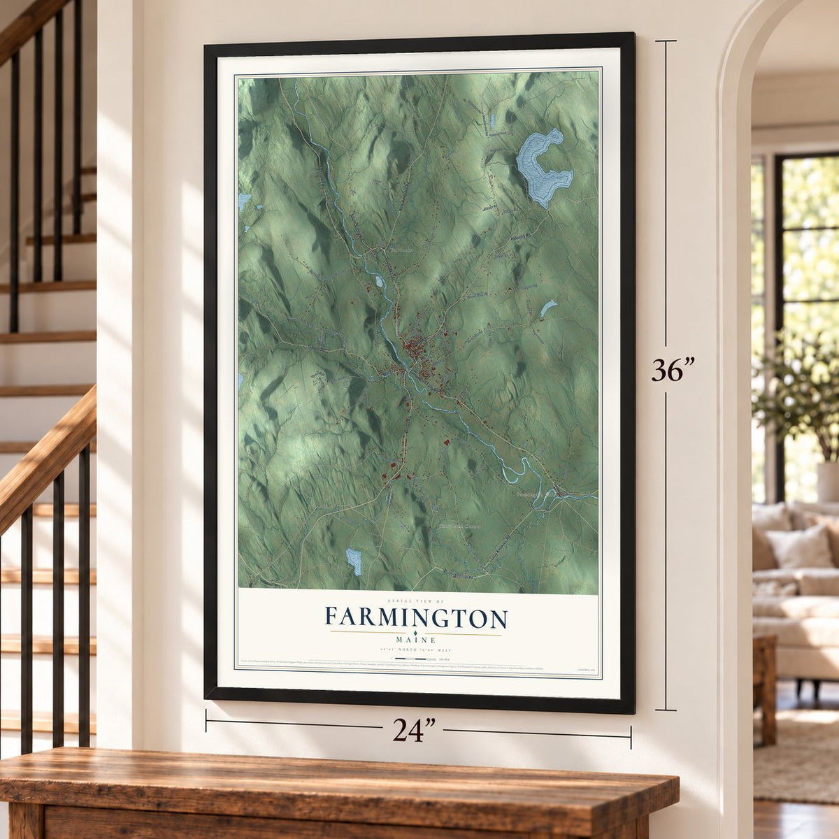
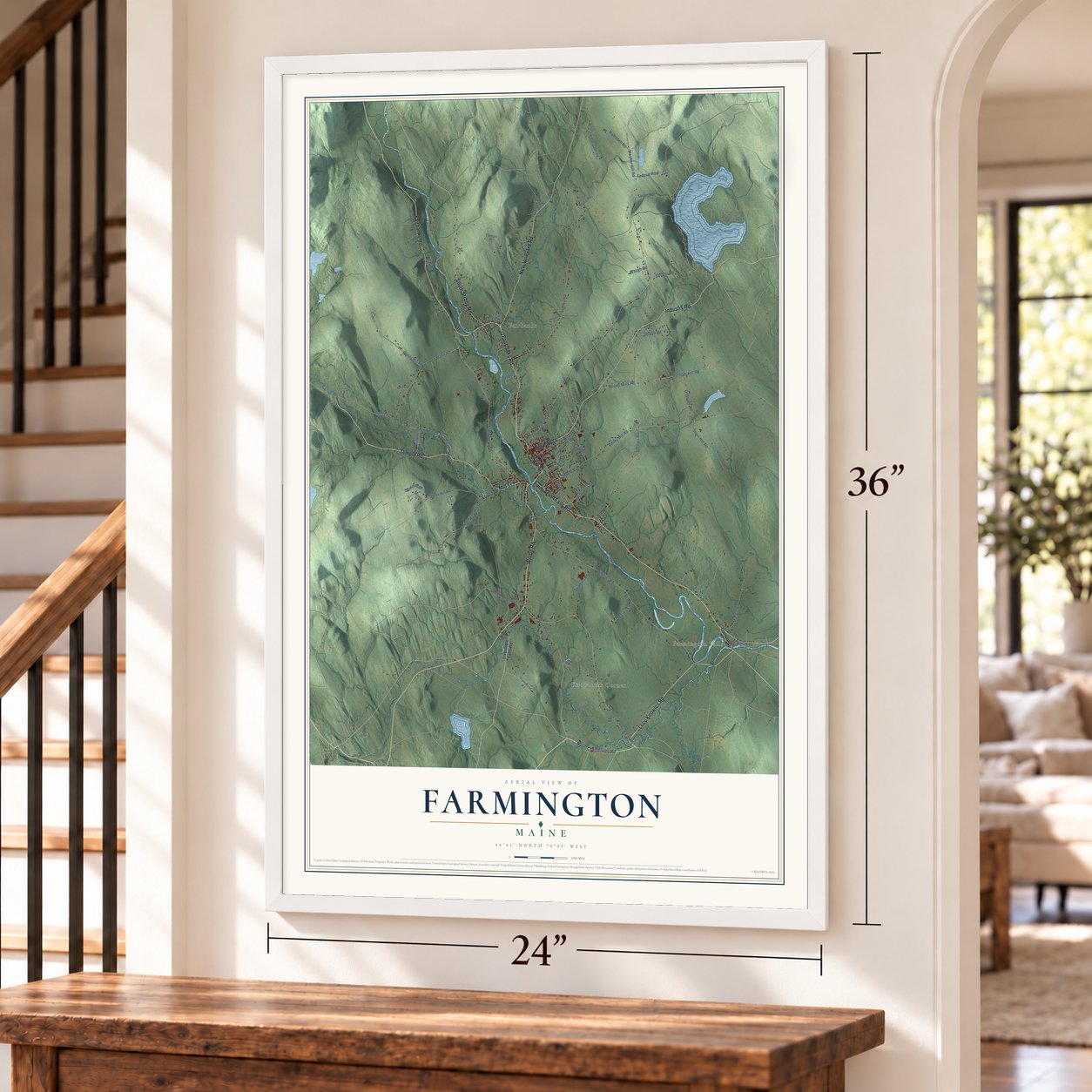
Explore Farmington, Maine from a whole new perspective. Created using aerial imagery and detailed geographic data, this map captures Farmington building by building, with labeled streets, familiar landmarks, and shaded topographical relief that highlights the natural contours of the landscape.
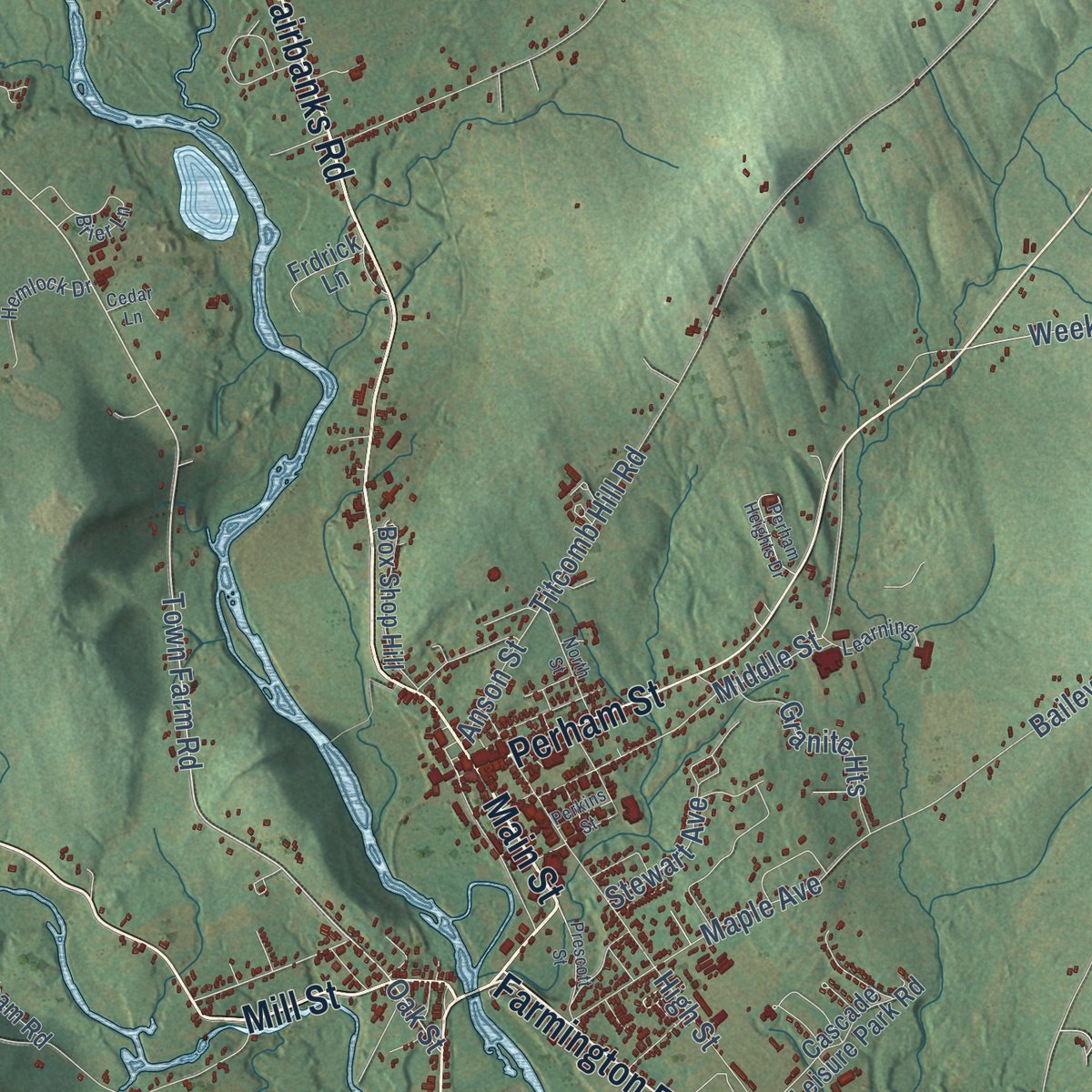
Combining modern data with the timeless character of a vintage atlas, this map is just as interesting up close as it is beautiful on the wall. Whether you grew up in Farmington, spent memorable years there, or call it home today, this unique map is a great way to celebrate a place that means something to you. Zoom in on the preview to look for your street, and then order a print to put your memories on the wall.
Three ways to hang it
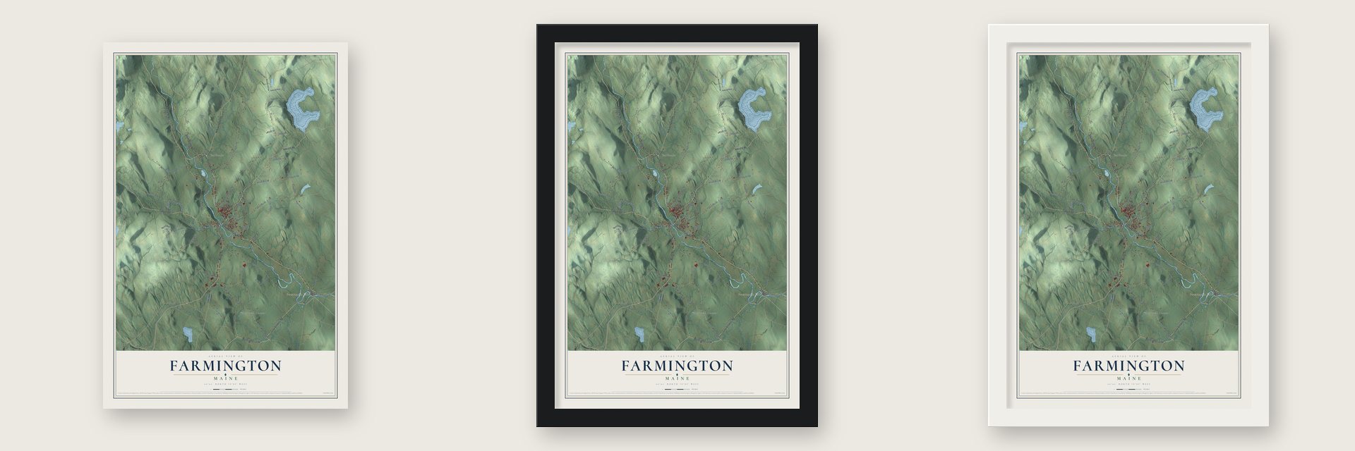
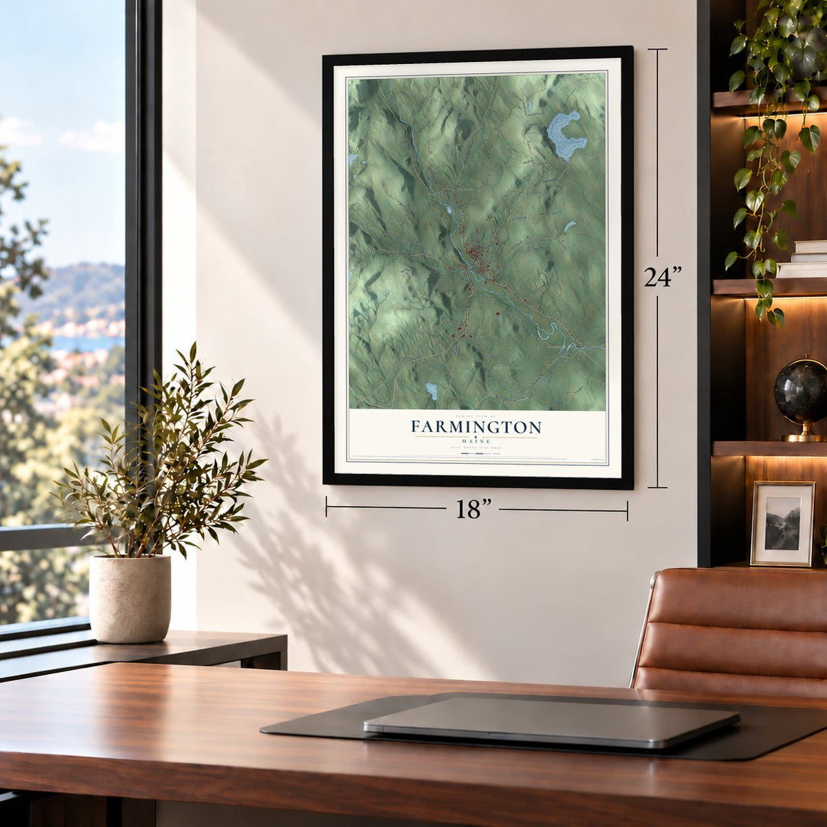
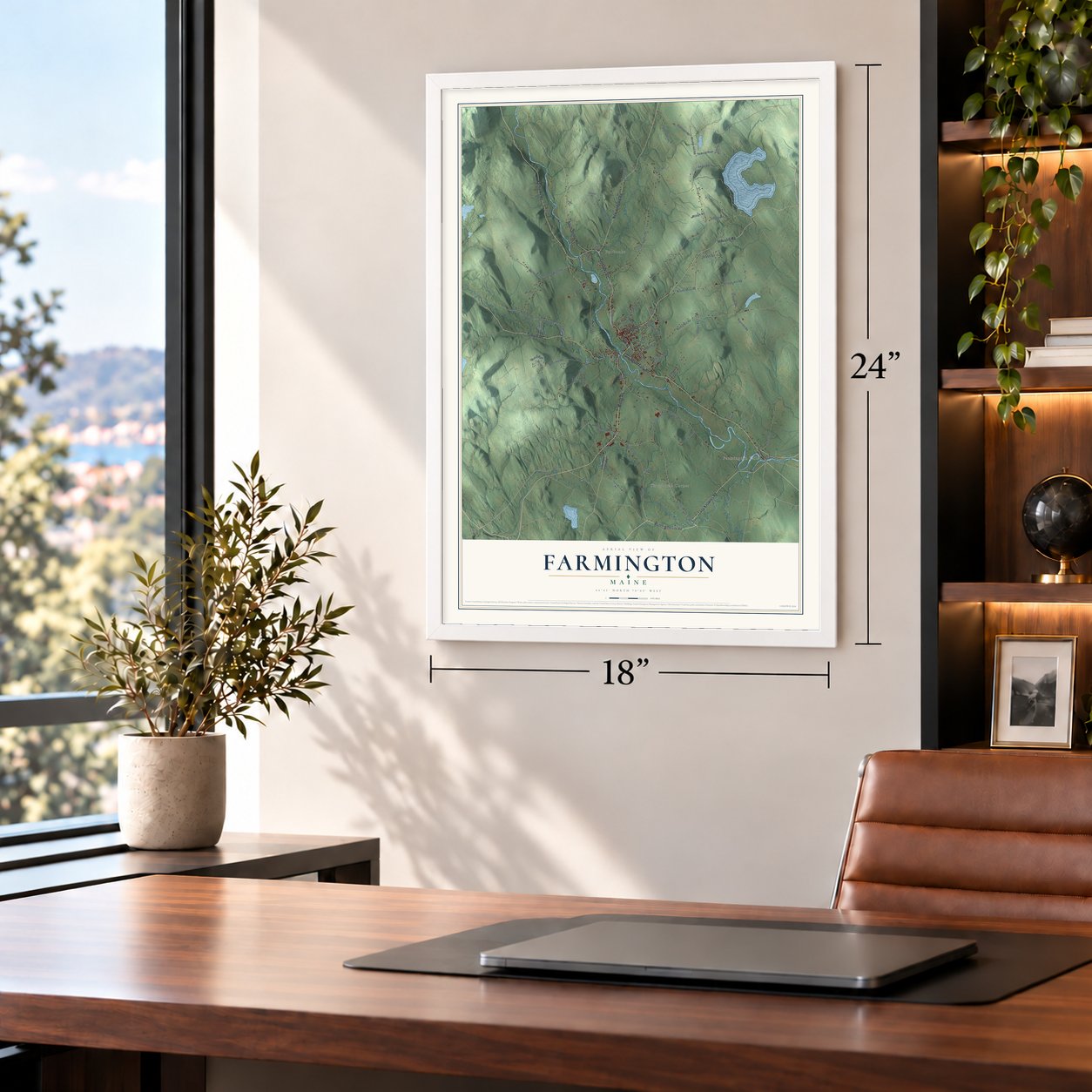
Unframed archival matte, a black wood frame or a white wood frame.
Up close
Geography Worth Displaying
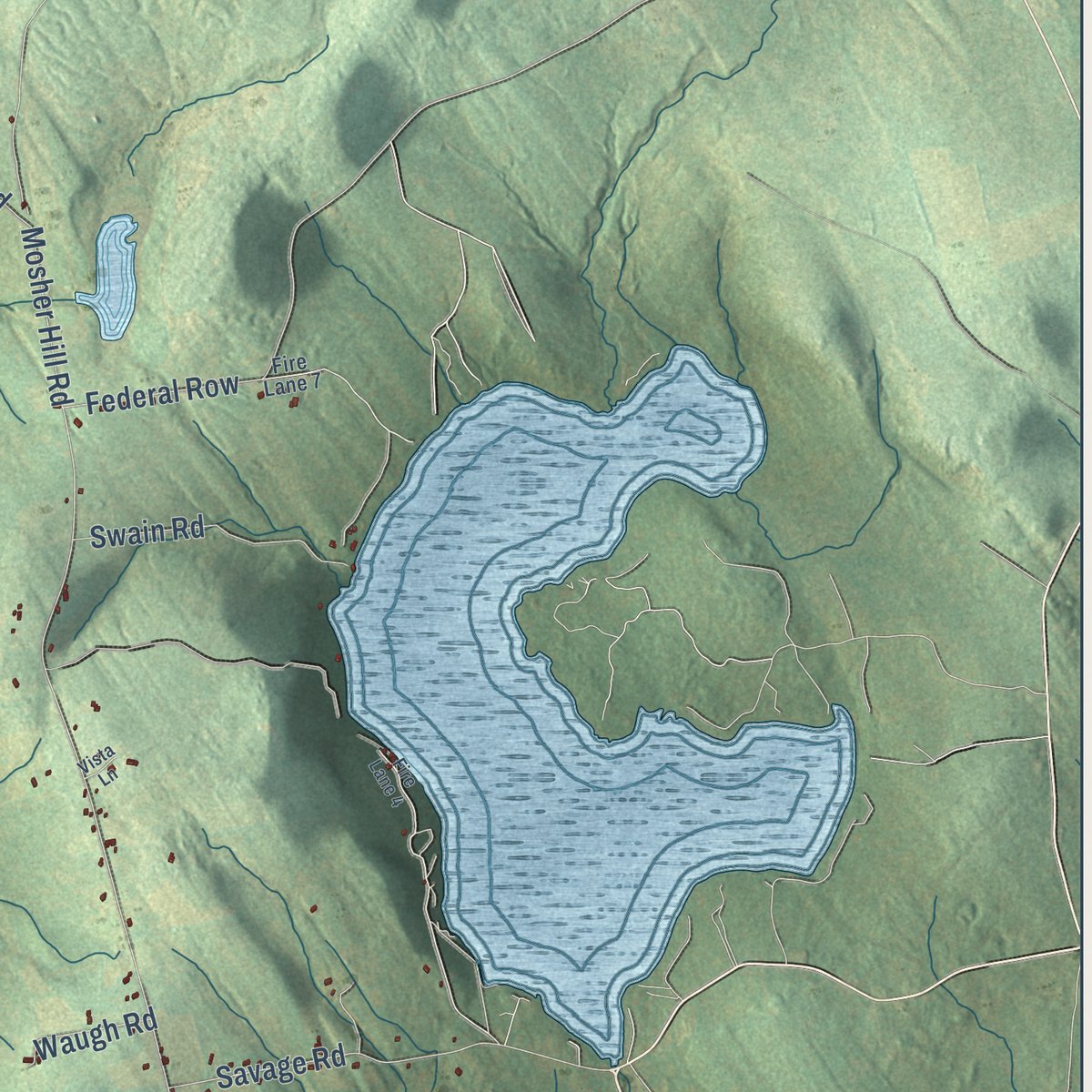
This map was created using accurate cartographic data and authoritative geographic sources, including the U.S. Geological Survey (USGS) and FEMA. The map brings together terrain, waterways, roads, and building detail. The majority of the streets are labeled, houses are accurately depicted, and the topography is derived from government sources. Combining local data with carefully composed color and shading leads to this beautifully detailed Farmington artwork for your wall.
Rather than simply showing street outlines, we’ve included as many of the street names as we could reasonably fit on the map while keeping their names legible. Zoom in on the high resolution preview to see exactly what’s on the map. We truly set out to create a statement piece for anyone who loves Farmington. So whether it’s for you, or a gift for someone you love, we hope this map of Farmington brings back fond memories.
Explore the full map of Farmington, Maine and read about the local places it shows.
Find your street
Names on the Farmington map
Every name below is printed on this map. Look for your street, your school, the park where you played, or the pond down the road.
Places and landmarks3
- Farmington Falls
- Fairbanks
- Knowltons Corner
Streets and roads94
- Main Street
- Fairbanks Road
- Temple Road
- New Vineyard Road
- Mill Street
- Farmington Falls Road
- Wilton Road
- South Strong Road
- Lucy Knowles Road
- Industry Road
- Perham Street
- Knowlton Corner Road
- Red Schoolhouse Road
- Town Farm Road
- Ballon Road
- Back Temple Road
- Middle Street
- Perham Hill Road
- Whittier Road
- Holley Road
- Porter Hill Road
- Titcomb Hill Road
- Mosher Hill Road
- Bailey Hill Road
- Owen Mann Road
- Webster Road
- Weeks Mills Road
- Davis Road
- Clover Mill Road
- Morrison Hill Road
Show all 94 streets
- High Street
- Cowen Hill Road
- Voter Hill Road
- Ramsdell Road
- Mason Road
- Maple Avenue
- Seamon Road
- Hovey Road
- Osborne Road
- Savage Road
- Swain Road
- Sewall Road
- Granite Heights
- Horn Hill Road
- Federal Row
- Marwick Road
- Staples Road
- Anson Street
- Stewart Avenue
- Stanley Road
- Waugh Road
- Oak Street
- North Chesterville Road
- Livermore Falls Road
- Earl Road
- Seminole Drive
- Clover Mills Road
- Barlen Street
- Music Road
- Cascade Leisure Park Road
- Box Shop Hill
- Twigsnapper Road
- Russells Mills Road
- Dunham Road
- Hammond Road
- Frdrick Lane
- Fyfe Road
- Dump Road
- Water Street
- Tolman Place
- Currier Road
- Tyler Lane
- Hemlock Drive
- Ski Slope Road
- Brier Lane
- Learning
- Vacation Ests
- Trillium Lane
- Fire Lane 7
- Croswell Road
- Cummings Hill Road
- Cook Road
- Fire Lane 4
- North Street
- Prescott Street
- Brookside Lane
- Hillside Drive
- Pear Tree Lane
- Perham Heights Drive
- Mohawk Drive
- Cedar Lane
- Perkins Street
- Barker Road
- Vista Lane
Names are listed as they appear on the printed map. Zoom into the product photos to find them.
About Farmington, Maine
Farmington is a town of 7,592 people on the Sandy River, and it is the county seat of Franklin County. Before English settlers came, Canibas Abenaki people kept two camps near Farmington Falls. They cleared fields there for maize and potatoes and built a stockade that enclosed about an acre. A party from Topsham surveyed Sandy River Plantation in 1776, but the Revolutionary War held off settlement until 1781, when the first families arrived and a sawmill opened.
The plantation was incorporated as Farmington on February 1, 1794, a name chosen for its fertile soil. A cluster of log cabins at Farmington Falls grew into a prosperous farm town. Its farmers cut hay, picked apples and kept so many sheep on the hills that it ranked among New England's biggest wool towns. Water power drew mills and factories, and when Franklin County was formed in 1838, Farmington became its seat.
- The fire of 1886On October 22, 1886, a fire tore through Farmington. It burned thirty-three houses and nineteen stores, along with three churches, the post office and the county jail. Arthur H. Vinal's Methodist Church of 1877 was left standing.
- Gateway to Rangeley and SugarloafThe Androscoggin Railroad reached Farmington from Leeds Junction in 1859, carrying both freight and tourists. Starting in 1879, the narrow gauge Sandy River Railroad ran north with its southern end at Farmington, and that line later joined the Sandy River and Rangeley Lakes Railroad. Travelers bound for Rangeley Lake and Sugarloaf Mountain passed through Farmington.
- Earmuffs since 1873Chester Greenwood was a teenager in 1873 when, after a cold day of skating, his grandmother sewed fur onto loops of wire to cover his ears. He improved the idea, patented it and made his ear protectors around Farmington for nearly sixty years. He also invented a tea kettle and a machine for making wooden spools. The Chester Greenwood House is on the National Register, and the town honors him each December with a parade on Chester Greenwood Day.
- Lillian Nordica's birthplaceLillian Nordica was born Lillian Allen Norton in 1857, in a Farmington farmhouse, and became an opera singer. After study in Boston and Italy, she made her debut in Brescia in 1879 and sang at New York's Metropolitan Opera off and on from 1891 to 1910. She gave concerts to raise money for women's suffrage. Her birthplace is now the Nordica Homestead, and the University of Maine at Farmington named the auditorium in Merrill Hall for her.
Keep exploring Maine
Farmington is one of 536 Maine towns we've mapped. Every dot on the map is a print of its own.
The search covers every state, Maine first.
Near Farmington
Order 2 or more town maps and save 10%. Shown in the size and finish you picked above, so they hang as a set.
- Wilton 12" x 18" / Archival Matte Print $39.99
- Temple 12" x 18" / Archival Matte Print $39.99
- Industry 12" x 18" / Archival Matte Print $39.99
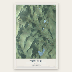
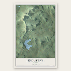
More maps nearby: New Sharon, Strong, New Vineyard, Chesterville and Starks.
The art of mapping a place
How This Map Was Made
Real places. Remarkable detail. Discover the layers that turn geographic data into a map of home.

The view from above
Aerial imagery reveals the character of the land: woodland, open fields, and the patterns of a place.

The shape of the land
Elevation data brings hills, valleys, and subtle changes in the landscape into view.

The details of home
Roads, waterways, and building footprints come together to make the map feel unmistakably local.

Geography becomes art
Considered color, shading, and typography bring the layers together in a map made for your wall.


Process illustrated with Mendon, Massachusetts. Aerial imagery: USDA NAIP. Terrain: USGS 3D Elevation Program. Map details and finished artwork: KNOWOL.
The Details
About This Print
Choose an archival matte print, or a black or white Ayous wood frame. The archival matte print is unframed.
Select your size and finish above to see the matching product image and price.
Materials & Craftsmanship
A contemporary map with the character of a classic atlas, printed on archival matte paper. Optional frames are made from Ayous wood.
Your printed map does not include the watermark shown in the full-map preview.
Shipping & Delivery
Free shipping within the United States. Every print is made to order in the USA.
Buying a gift? Add a note in your cart and we'll include it. We never put prices in the package.
Prints ship within 2 to 3 business days. Allow 7 to 10 days total from ordering for delivery. Timing may vary during holidays or periods of high order volume.
Read our shipping policy.
Returns and damaged prints
Each print is made to order. Change-of-mind refunds are not available after production.
If your print arrives damaged, misprinted or incorrect, contact support@knowol.com within 30 days of receiving it. Include your order number, photos and a description of the issue.
Read our full refund and replacement policy. For questions about your order, email support@knowol.com.