
Search for another town



Free U.S. delivery 7 to 10 days after you order
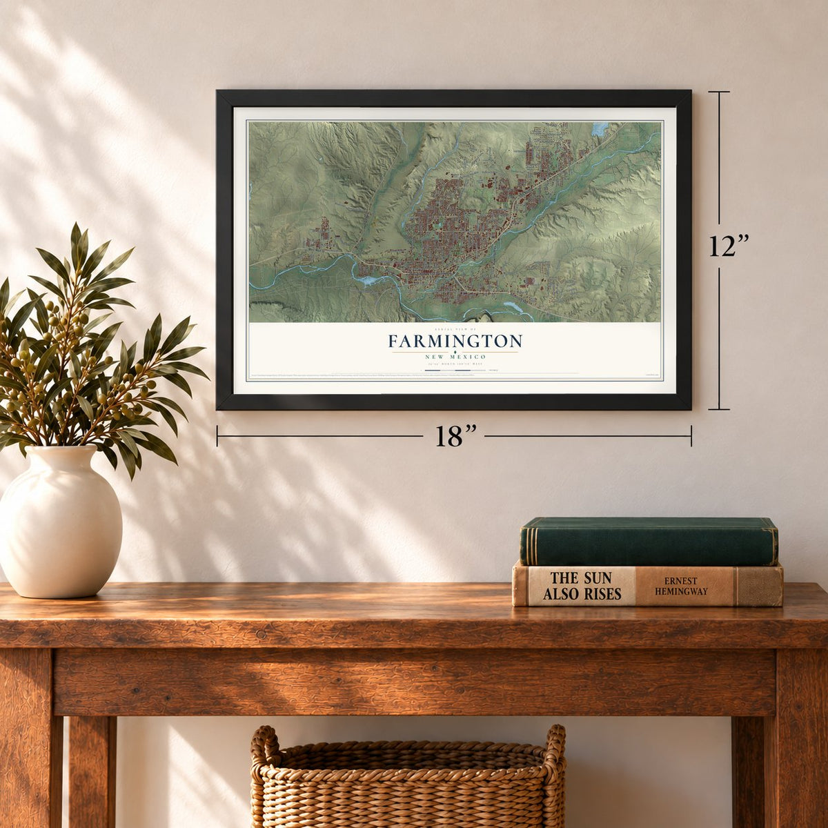
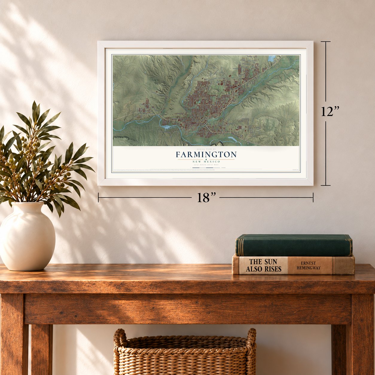
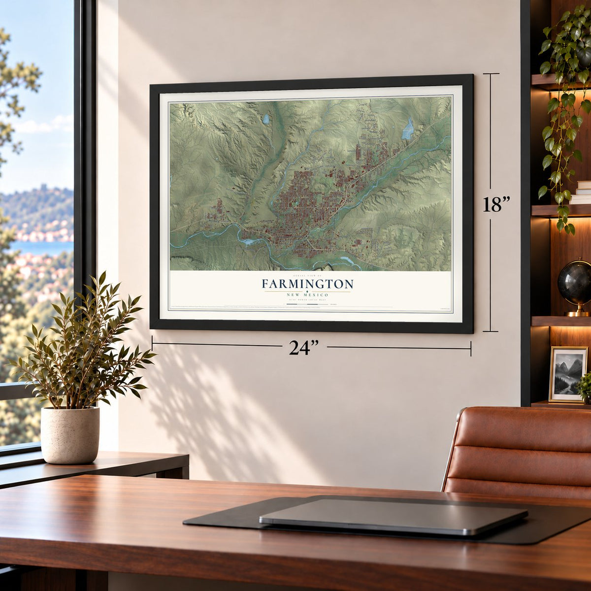
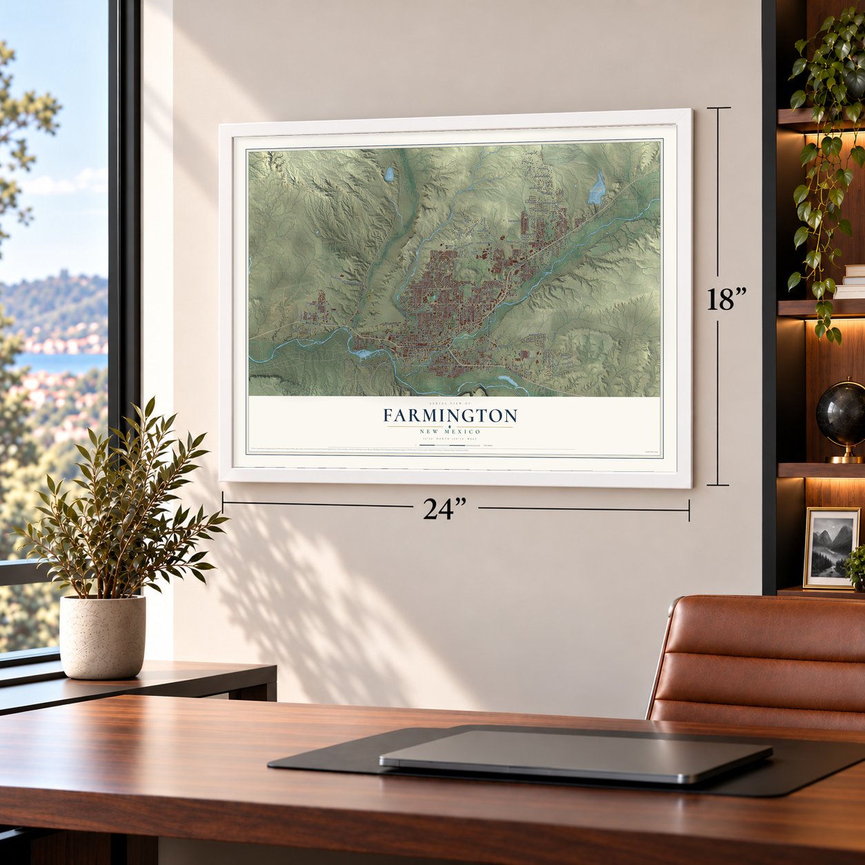
Farmington, New Mexico Map Art
Building by building, with labeled streets and shaded relief.
12" x 18" Archival Matte Print
A Map of Home. A Work of Art.
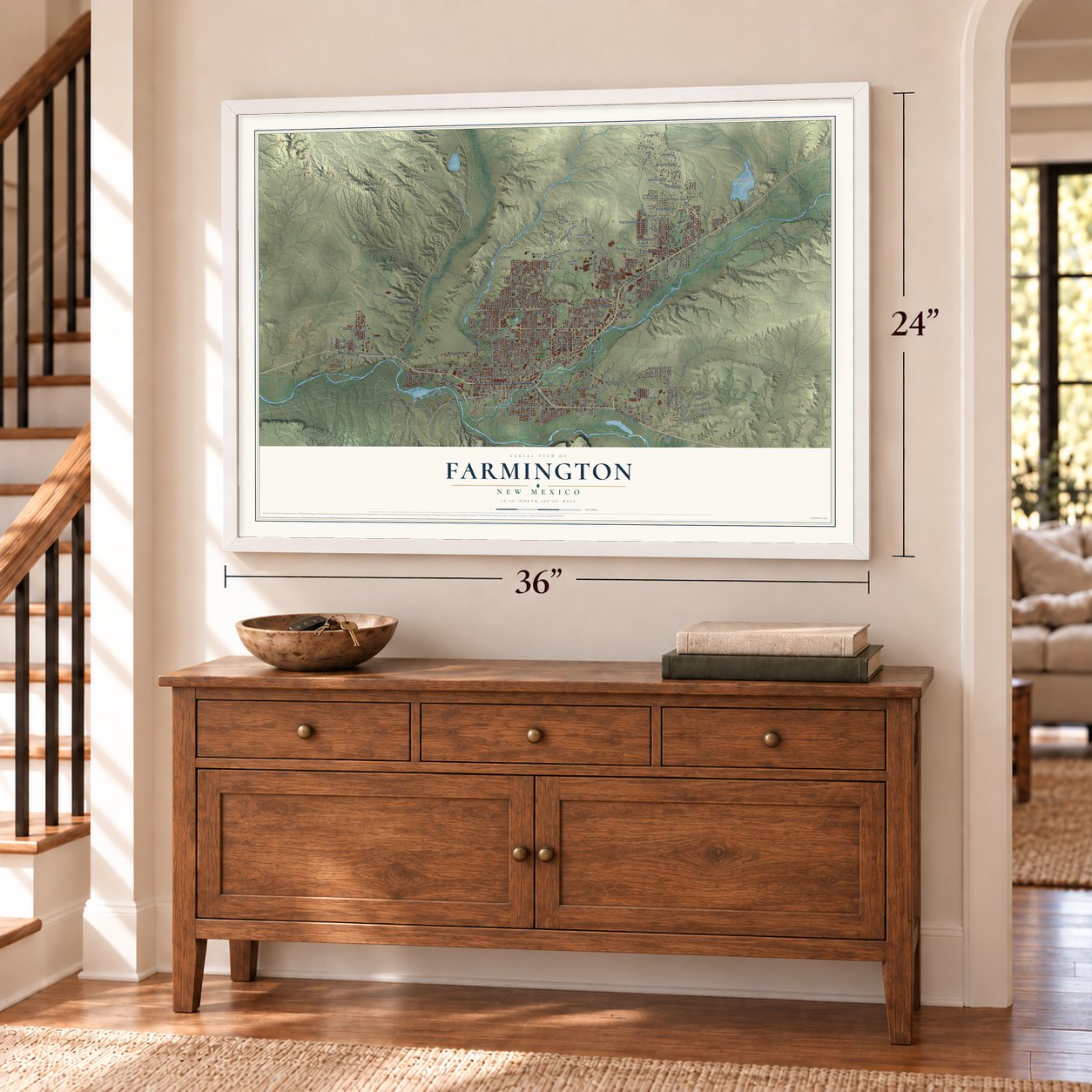
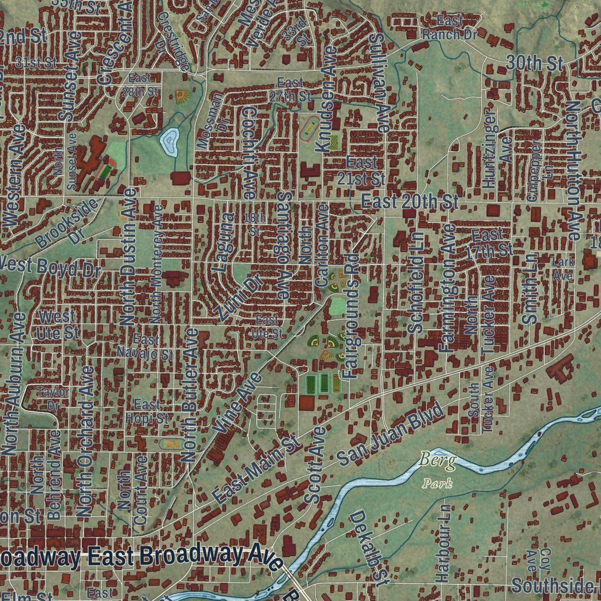
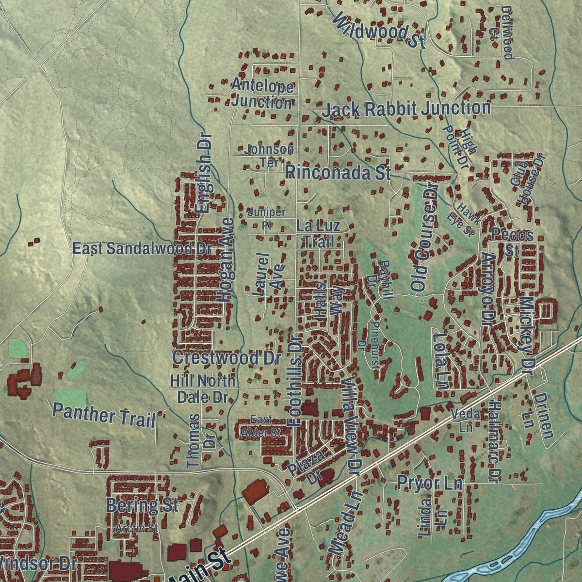
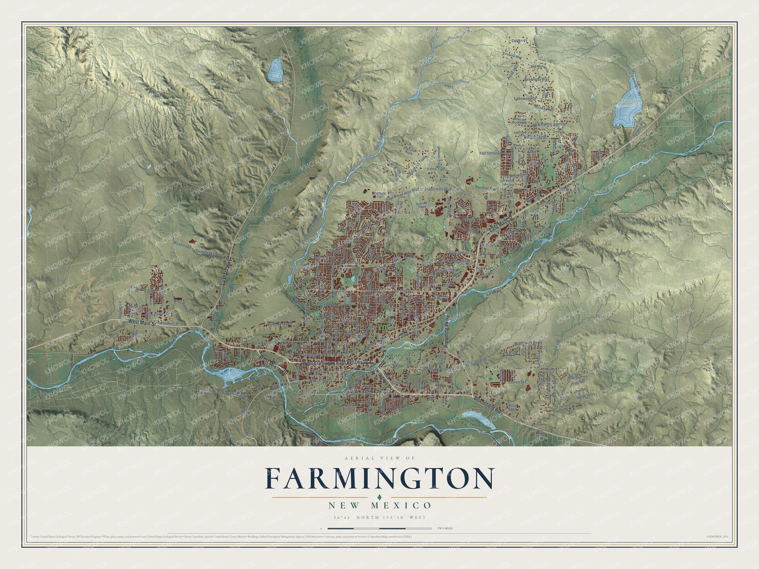
Explore Farmington, New Mexico from a whole new perspective. Created using aerial imagery and detailed geographic data, this map captures Farmington building by building, with labeled streets, familiar landmarks, and shaded topographical relief that highlights the natural contours of the landscape.
Combining modern data with the timeless character of a vintage atlas, this map is just as interesting up close as it is beautiful on the wall. Whether you grew up in Farmington, spent memorable years there, or call it home today, this unique map is a great way to celebrate a place that means something to you. Zoom in on the preview to look for your street, and then order a print to put your memories on the wall.
Three ways to hang it
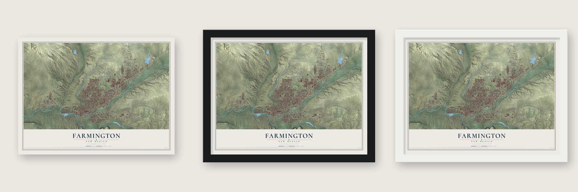
Unframed archival matte, a black wood frame or a white wood frame.
Up close
Geography Worth Displaying
This map was created using accurate cartographic data and authoritative geographic sources, including the U.S. Geological Survey and the Census Bureau. The map brings together terrain, waterways, roads, and building detail. The majority of the streets are labeled, houses are accurately depicted, and the topography is derived from government sources. Combining local data with carefully composed color and shading leads to this beautifully detailed Farmington artwork for your wall.
Rather than simply showing street outlines, we’ve included as many of the street names as we could reasonably fit on the map while keeping their names legible. Zoom in on the high resolution preview to see exactly what’s on the map. We truly set out to create a statement piece for anyone who loves Farmington. So whether it’s for you, or a gift for someone you love, we hope this map of Farmington brings back fond memories.
Read the story behind this map of Farmington, New Mexico from 2026.

Find your street
Names on the Farmington map
Every name below is printed on this map. Look for your street, your school, the park where you played, or the pond down the road.
Places and landmarks2
- Berg Park
- Lake Farmington Recreation Area
Streets and roads249
- Bloomfield Highway
- West Murray Drive
- West Broadway
- East Broadway Avenue
- Browning Parkway
- East Main Street
- West Main Street
- La Plata Highway
- Bisti Highway
- West Pinon Street
- East Murray Drive
- Old Bloomfield Highway
- North Auburn Avenue
- Southside River Road
- North Orchard Avenue
- Glade Road
- Wildflower Drive
- North Butler Avenue
- Wildflower Parkway
- Road 3807
- College Boulevard
- Twin Peaks Boulevard
- Butler Avenue
- Lakewood Drive
- Hood Mesa Trail
- Troy King Road
- West Navajo Street
- Monroe Road
- Malta Avenue
- Pinon Hills Boulevard
Show all 249 streets
- Foothills Drive
- North Dustin Avenue
- East Pinon Hills Boulevard
- East 30th Street
- East 20th Street
- West Apache Street
- Airport Drive
- North Airport Drive
- Sullivan Avenue
- Andrea Drive
- Municipal Drive
- San Juan Boulevard
- English Road
- Road 6480
- Cliffside Drive
- West Piedras Street
- Farmington Avenue
- Vine Avenue
- Laurie Street
- Schofield Lane
- Zuni Drive
- Knudsen Avenue
- North Hutton Avenue
- Cochiti Avenue
- West Arrington Street
- Buena Vista Avenue
- Natane Avenue
- Alise Avenue
- Hogan Avenue
- Largo Street
- West Pinon Hills Boulevard
- Rinconada Street
- Katherine Avenue
- Santiago Avenue
- Ensenada Way
- Yarrow Trail
- Western Avenue
- West Boyd Drive
- Fairgrounds Road
- Jack Rabbit Junction
- Pallas Street
- Sunset Avenue
- Edgecliff Drive
- Cam Rio
- 24th Street
- Windsor Drive
- Laguna
- Pryor Lane
- 30th Street
- Indian Svc Route 36
- Hydro Plant Road
- Villa View Drive
- English Drive
- Crescent Avenue
- Dekalb Street
- Lomas Street
- Herrera Road
- Scott Avenue
- Wildwood Street
- Camina Placer
- Smith Lane
- 32nd Street
- Piedras Street
- Arroyo Drive
- Billie Avenue
- Kaitlin Street
- Lions Trail
- Crestwood Drive
- West Elm Street
- Graham Road
- Panther Trail
- Colibri Place
- Old Course Drive
- Kayenta Drive
- Rio Street
- Lauren Street
- Teton Drive
- Gila Street
- Sarah Street
- Mead Lane
- Rowe Avenue
- Bering Street
- Starling Lane
- Eagle Street
- Mickey Drive
- Lola Lane
- East Broadway Street
- East Pinon Street
- Country Club Drive
- Tampico Way
- Road 6000
- Sunrise Parkway
- Mesa Verde Avenue
- East 22nd Street
- North Carlton Avenue
- West 30th Street
- South Dustin Road
- East 18th Street
- South Carlton Avenue
- Lake Farmington Road
- Hope Avenue
- Hill North Dale Drive
- East 17th Street
- Marseille Boulevard
- East Sandalwood Drive
- Sierra Vista Drive
- Farminton Lake Access Road
- Vista Grande Drive
- East 38th Street
- Halls Way
- Sunrise Circle
- San Marcos Drive
- Placitas Trail
- La Luz Trail
- South Hutton Road
- Sandstone Avenue
- Goldenrod Avenue
- North Tucker Avenue
- Anasazi Trail
- North Behrend Avenue
- Westland Park Drive
- Brookside Drive
- Rayos del Sol
- Antelope Junction
- Tuscany Way
- Huntzinger Avenue
- Hallmarc Drive
- El Paso Drive
- Mesa Vista Drive
- Hawkins Road
- Thomas Drive
- Valle Vista Drive
- Harper Hill Road
- Harbour Lane
- North Court Avenue
- Road 5860
- Kira Drive
- Viento Avenue
- Robin Avenue
- Plaza Drive
- Gold Avenue
- Browning Road
- Deer Trail
- Saguaro Trail
- Drinen Lane
- Emerald Street
- Laurel Avenue
- West Ute Street
- West 35th Street
- Del Rio Court
- Stable Street
- Walnut Drive
- Gooding Lane
- East 21st Street
- Linda Lane
- Basin Road
- Road 5793
- Pecos Street
- Ojo Court
- Club House Drive
- Mossman Drive
- East Navajo Street
- North Monterey Avenue
- South Lake Street
- High Point Drive
- Sycamore Street
- Crestridge Drive
- East 27th Street
- Skyline Drive
- East Hopi Street
- Morningstar Drive
- 31st Street
- North Old Butler Avenue
- Shadow Valley Lane
- Cam Sol
- Mission Avenue
- Culpepper Lane
- Cherry Hills Drive
- South Tucker Avenue
- East Ranch Drive
- 33rd Street
- Dellwood Court
- Johnson Terrace
- Alpine Avenue
- Nickel Lane
- Jeffery Drive
- Bayhill Drive
- East Elm Street
- Coy Avenue
- Hines Road
- Veda Lane
- Messina Drive
- East Ute Street
- Spruce Street
- Indian Service Road 36
- North Sunset Avenue
- San Medina Avenue
- 18th Street
- Camaron Avenue
- Pinehurst Drive
- Hawk Eye Street
- Melissa Street
- Bonnie Circle
- Courtland Drive
- Hannon Drive
- La Puente Street
- Mortenson Road
- East Alder Street
- East 28th Street
- Primavera Drive
- Juniper Place
- Cristo Rey Avenue
- Arctic Street
- Taylor Drive
- First Avenue
- Poulson Avenue
- Cactus Trail
- Lark Avenue
- Energy Court
Names are listed as they appear on the printed map. Zoom into the product photos to find them.
About Farmington, New Mexico
Farmington is a city of 46,624 people in San Juan County, where the San Juan, Animas and La Plata rivers come together on the Colorado Plateau. Ancestral Pueblo people settled here in the 7th century. After they left, Navajos, Jicarilla Apaches and Utes moved in, and in Navajo a key part of the region was called Tóta', meaning "where three rivers meet."
The Navajo Nation was created in 1868, and it took in the western half of the county. Six years after that, federal officials offered the remaining land to the Jicarilla Apache. They turned it down, so the area opened to settlers, many of them from Southern Colorado. The settlers called their town Junction City for its three rivers, and when it incorporated in 1901 with 548 people, it took the name Farmington.
- Rails to Durango in 1905Track to Durango, Colorado, was finished on September 19, 1905, which brought new trade and more settlers. The line was built in standard gauge, an odd choice because it met the narrow-gauge tracks of the Denver & Rio Grande Western in southwestern Colorado. It was rebuilt as narrow gauge in 1923, closed in 1968 and torn up as far as Durango in 1969.
- Saucers over town in 1950Farmington had a mass UFO sighting on March 18, 1950. Reports said more than half of the town watched big saucers speed across the sky.
- Tom Bolack and the gas boomOil and gas companies invested heavily here in the 1920s, but real production waited until the 1950s. A new road to U.S. Route 66 and Albuquerque in the 1940s and the San Juan Basin Natural Gas Pipeline of 1953, led by Tom Bolack, made the town grow fast. Bolack, an oilman and rancher, served as mayor of Farmington and as lieutenant governor and governor of New Mexico.
- Connie Mack World SeriesSince 1965 Farmington has hosted this baseball tournament every August at Ricketts Park, which seats 5,072. Ten or more teams of players aged 16 to 18 come from around the United States and Puerto Rico. The only year it was called off was 2020, during the COVID-19 pandemic.
Keep exploring New Mexico
Farmington is one of 544 New Mexico towns we've mapped. Every dot on the map is a print of its own.
The search covers every state, New Mexico first.
Near Farmington
Order 2 or more town maps and save 10%. Shown in the size and finish you picked above, so they hang as a set.
- Totah Vista 12" x 18" / Archival Matte Print $39.99
- Crouch Mesa 12" x 18" / Archival Matte Print $39.99
- Flora Vista 12" x 18" / Archival Matte Print $39.99
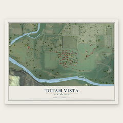
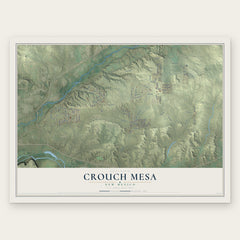
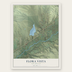
More maps nearby: South River, Napi Headquarters, Lee Acres, Upper Fruitland and Spencerville.
The art of mapping a place
How This Map Was Made
Real places. Remarkable detail. Discover the layers that turn geographic data into a map of home.

The view from above
Aerial imagery reveals the character of the land: woodland, open fields, and the patterns of a place.

The shape of the land
Elevation data brings hills, valleys, and subtle changes in the landscape into view.

The details of home
Roads, waterways, and building footprints come together to make the map feel unmistakably local.

Geography becomes art
Considered color, shading, and typography bring the layers together in a map made for your wall.


Process illustrated with Mendon, Massachusetts. Aerial imagery: USDA NAIP. Terrain: USGS 3D Elevation Program. Map details and finished artwork: KNOWOL.
The Details
About This Print
Choose an archival matte print, or a black or white Ayous wood frame. The archival matte print is unframed.
Select your size and finish above to see the matching product image and price.
Materials & Craftsmanship
A contemporary map with the character of a classic atlas, printed on archival matte paper. Optional frames are made from Ayous wood.
Your printed map does not include the watermark shown in the full-map preview.
Shipping & Delivery
Free shipping within the United States. Every print is made to order in the USA.
Buying a gift? Add a note in your cart and we'll include it. We never put prices in the package.
Prints ship within 2 to 3 business days. Allow 7 to 10 days total from ordering for delivery. Timing may vary during holidays or periods of high order volume.
Read our shipping policy.
Returns and damaged prints
Each print is made to order. Change-of-mind refunds are not available after production.
If your print arrives damaged, misprinted or incorrect, contact support@knowol.com within 30 days of receiving it. Include your order number, photos and a description of the issue.
Read our full refund and replacement policy. For questions about your order, email support@knowol.com.