
Search for another town




Free U.S. delivery 7 to 10 days after you order
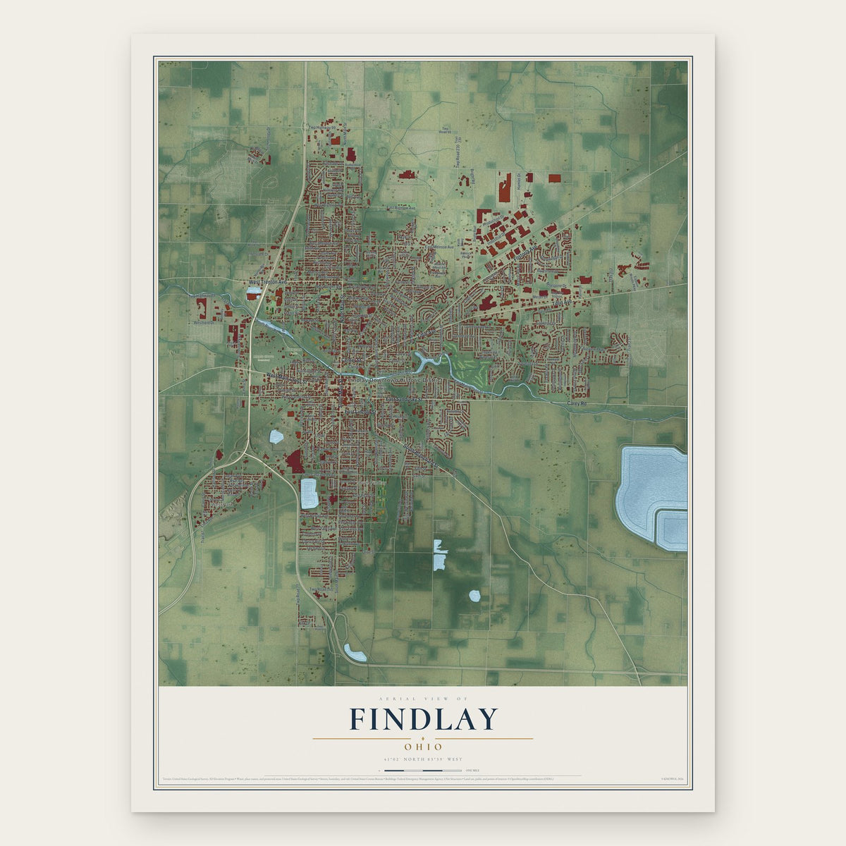
Findlay, Ohio Map Art
Building by building, with labeled streets and shaded relief.
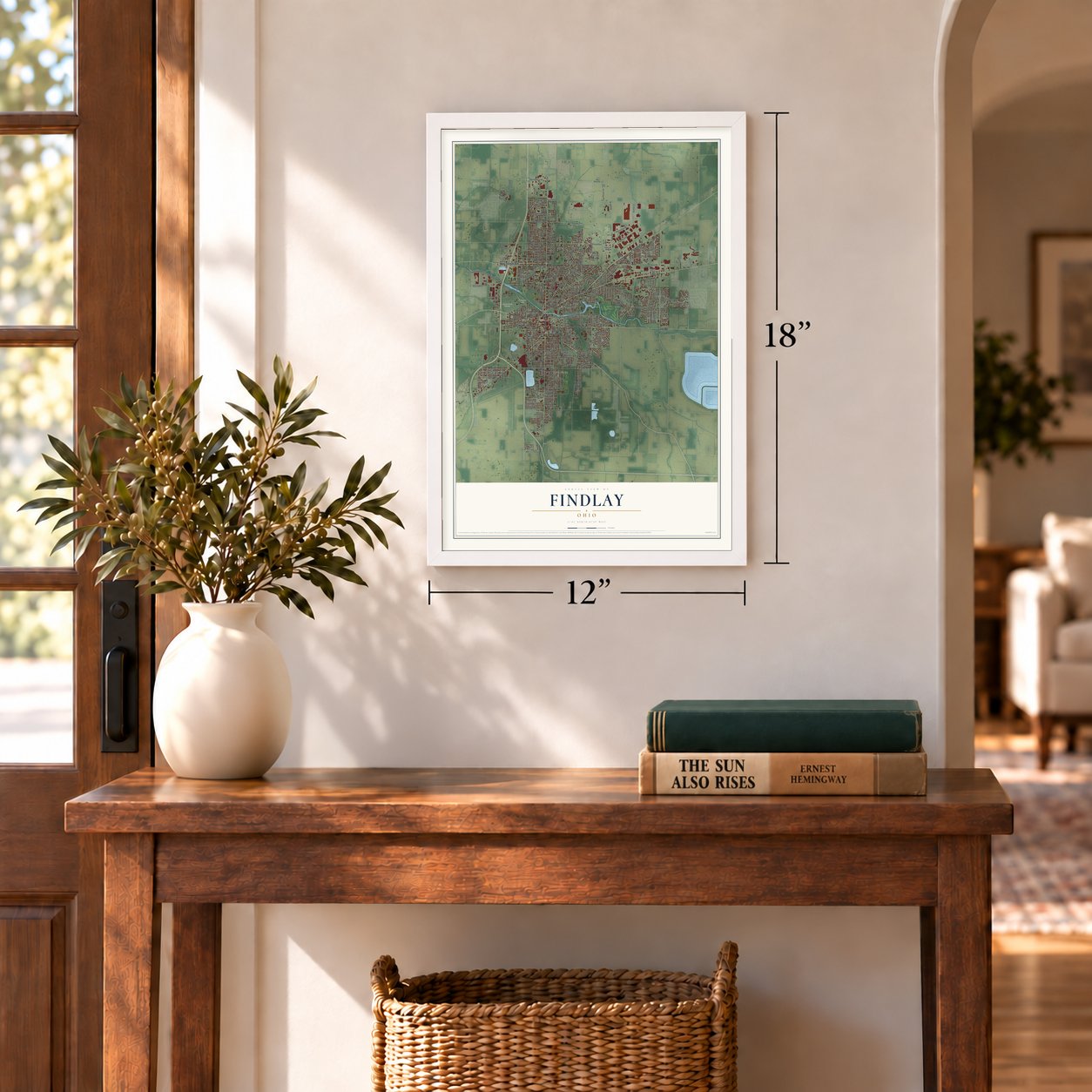
12" x 18" Archival Matte Print
A Map of Home. A Work of Art.
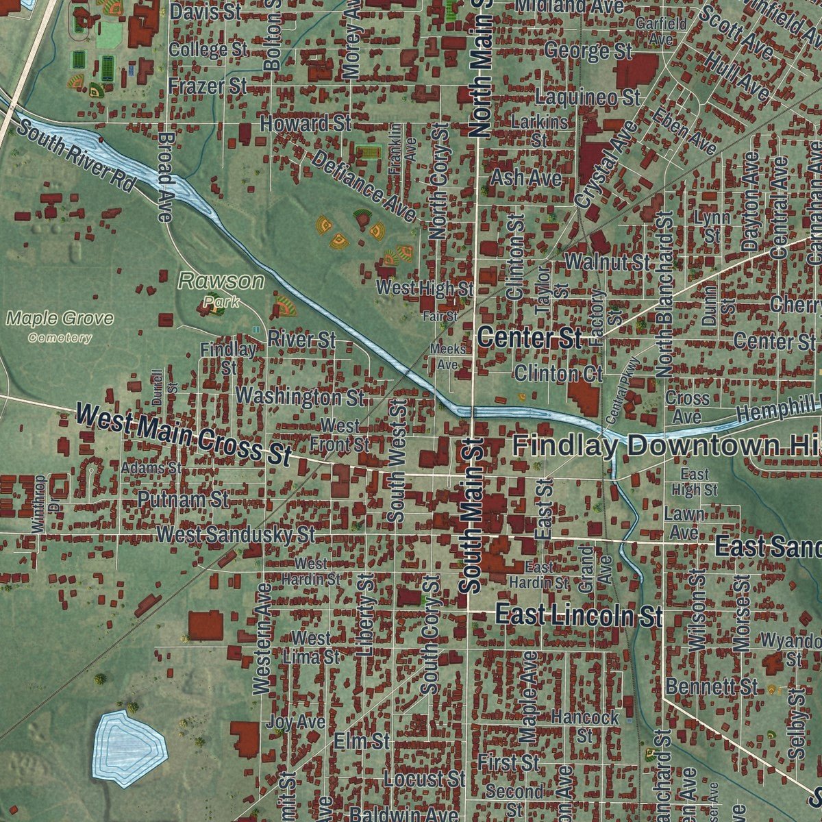
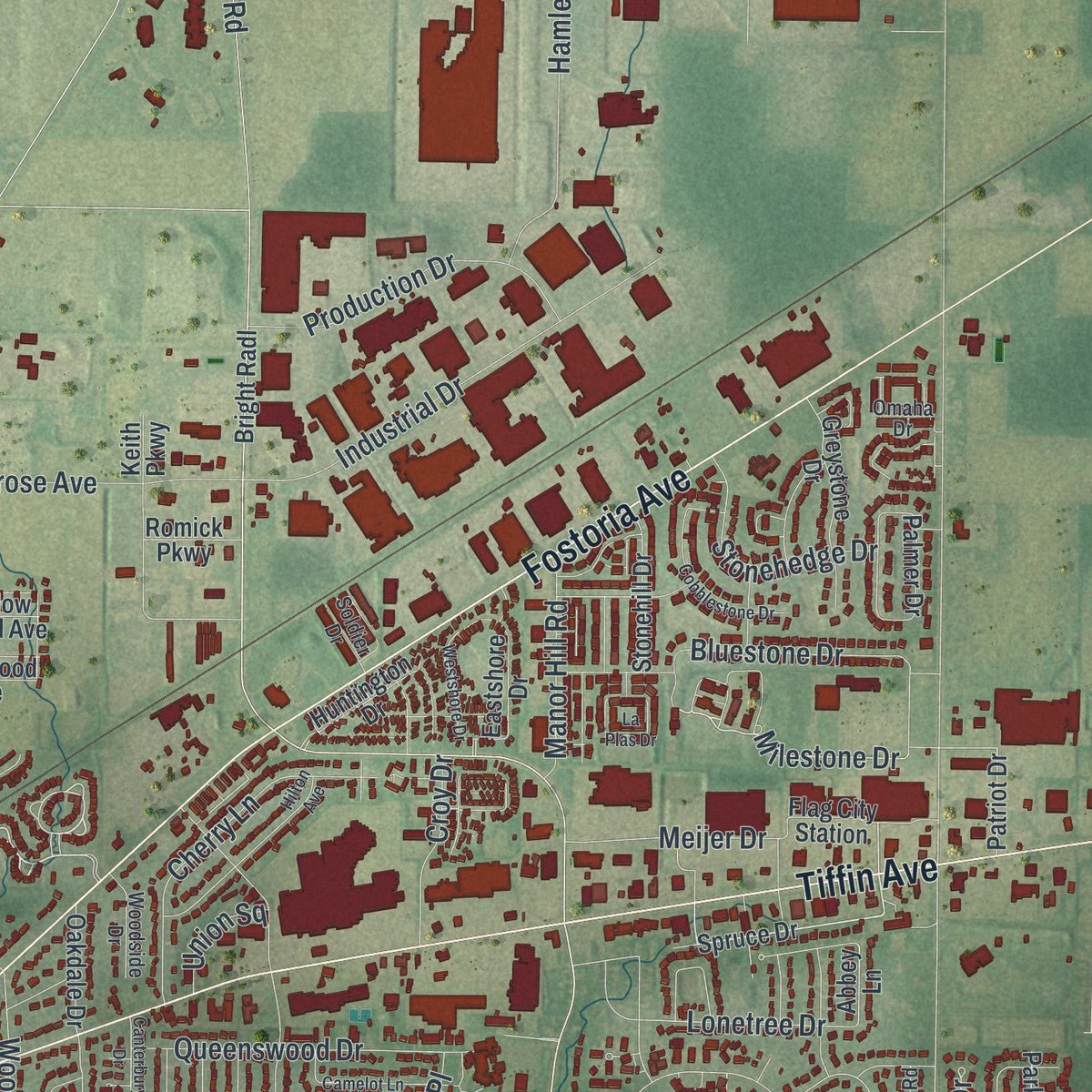
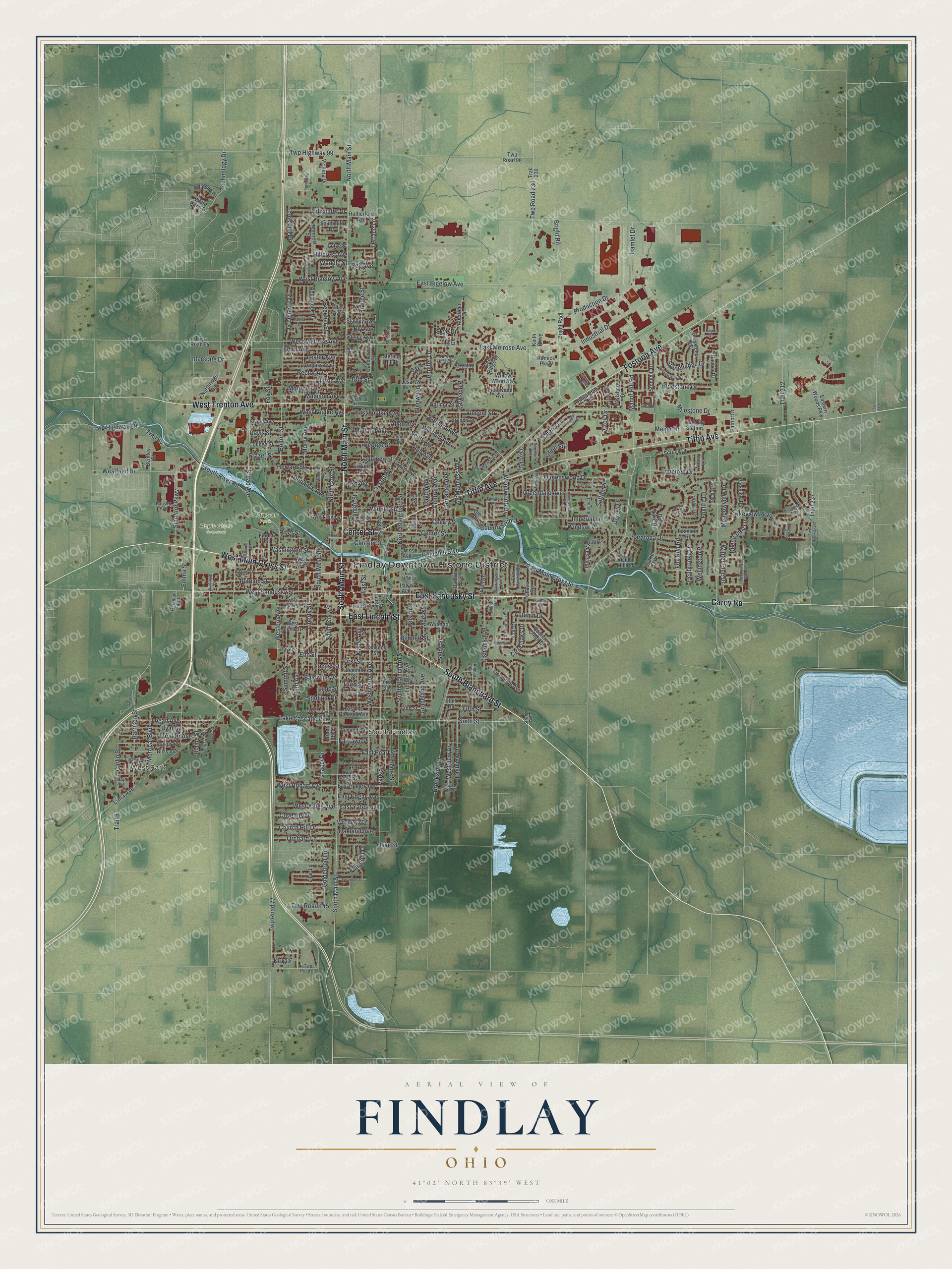
Explore Findlay, Ohio from a whole new perspective. Created using aerial imagery and detailed geographic data, this map captures Findlay building by building, with labeled streets, familiar landmarks, and shaded topographical relief that highlights the natural contours of the landscape.
Combining modern data with the timeless character of a vintage atlas, this map is just as interesting up close as it is beautiful on the wall. Whether you grew up in Findlay, spent memorable years there, or call it home today, this unique map is a great way to celebrate a place that means something to you. Zoom in on the preview to look for your street, and then order a print to put your memories on the wall.
Three ways to hang it
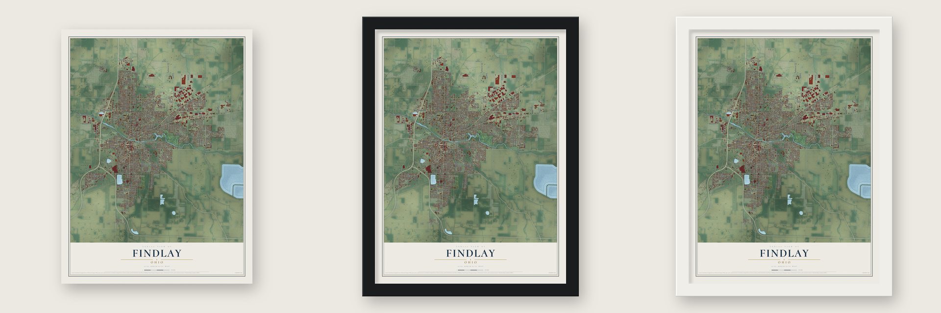
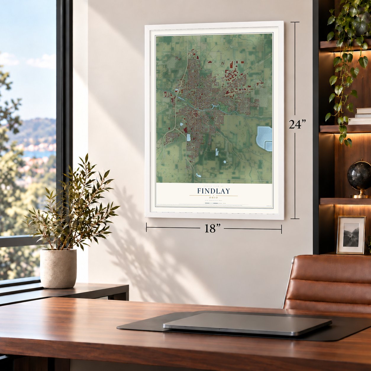
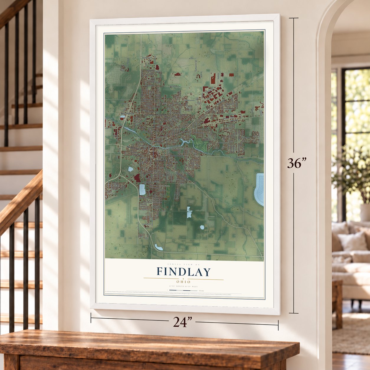
Unframed archival matte, a black wood frame or a white wood frame.
Up close
Geography Worth Displaying
This map was created using accurate cartographic data and authoritative geographic sources, including the U.S. Geological Survey and the Census Bureau. The map brings together terrain, waterways, roads, and building detail. The majority of the streets are labeled, houses are accurately depicted, and the topography is derived from government sources. Combining local data with carefully composed color and shading leads to this beautifully detailed Findlay artwork for your wall.
Rather than simply showing street outlines, we’ve included as many of the street names as we could reasonably fit on the map while keeping their names legible. Zoom in on the high resolution preview to see exactly what’s on the map. We truly set out to create a statement piece for anyone who loves Findlay. So whether it’s for you, or a gift for someone you love, we hope this map of Findlay brings back fond memories.
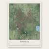
Find your street
Names on the Findlay map
Every name below is printed on this map. Look for your street, your school, the park where you played, or the pond down the road.
Places and landmarks5
- Findlay Downtown Historic District
- West Park
- South Findlay
- Maple Grove Cemetery
- Rawson Park
Streets and roads323
- East Sandusky Street
- South Blanchard Street
- West Main Cross Street
- West Trenton Avenue
- North Main Street
- South Main Street
- East Lincoln Street
- Tiffin Avenue
- Fostoria Avenue
- Carey Road
- Center Street
- Broad Avenue
- East Main Cross Street
- Milestone Drive
- West Sandusky Street
- Twp Road 230
- River Street
- Twp Highway 89
- Bank Street
- East Foulke Avenue
- Technology Drive
- Bright Road
- Western Avenue
- Lima Avenue
- Crystal Avenue
- North Blanchard Street
- Washington Avenue
- Park Street
- East Melrose Avenue
- East Bigelow Avenue
Show all 323 streets
- Fox Run Road
- Hurd Avenue
- Greendale Avenue
- Howard Street
- Sixth Street
- North Cory Street
- Brookside Drive
- Maple Avenue
- Liberty Street
- South West Street
- Bolton Street
- Harrison Street
- Woodworth Drive
- West Melrose Avenue
- Vincent Street
- Industrial Drive
- Cherry Street
- Fishlock Avenue
- Lakeview Parkway
- Lake Cascade Parkway
- Morey Avenue
- South Cory Street
- Clinton Court
- Bernard Avenue
- Putnam Street
- Stanford Parkway
- Third Street
- Central Avenue
- Frazer Street
- West Foulke Avenue
- Morrical Boulevard
- Bluestone Drive
- Fox Street
- McManness Avenue
- Fifth Street
- Byal Avenue
- Imperial Lane
- First Street
- Logan Avenue
- Windsor Place
- Walnut Street
- Trail 89
- Cherry Lane
- Madison Avenue
- Carlin Street
- Westfield Drive
- Carnahan Avenue
- Foxfire Lane
- Washington Street
- Production Drive
- Hamlet Drive
- Foraker Avenue
- Greenacre Drive
- Davis Street
- Interstate Drive
- Rector Avenue
- Westview Drive
- Queenswood Drive
- Eastview Drive
- Summit Street
- Defiance Avenue
- Twp Highway 99
- West Bigelow Avenue
- Wilson Street
- Country Club Drive
- Twp Road 77
- Allen Avenue
- Hillcrest Avenue
- Twp Road 145
- Parkside Place
- Saratoga Drive
- South River Road
- Midland Avenue
- East Street
- East Edgar Avenue
- Olive Street
- Clifton Avenue
- Church Hill Drive
- Orchard Lane
- Monroe Avenue
- West Yates Avenue
- West Hobart Avenue
- Edith Avenue
- Lester Avenue
- Morse Street
- Jennifer Lane
- Stonehedge Drive
- Meijer Drive
- East Pearl Street
- Hemphill Boulevard
- George Street
- Hillshafer Drive
- Chapel Drive
- Crosshill Drive
- Stadium Drive
- Trail 212
- Graceland Avenue
- France Street
- Trail 237
- Goldenrod Lane
- Beecher Street
- Hull Avenue
- Oakland Avenue
- Tarra Oaks Drive
- Laquineo Street
- Clinton Street
- Glenwood Street
- Meadowview Drive
- East Yates Avenue
- Deer Valley Lane
- Skye Drive
- Manor Hill Road
- Winfield Avenue
- Lonetree Drive
- Linden Avenue
- Fairmont Drive
- Dayton Avenue
- Croy Drive
- Selby Street
- Emma Street
- Baldwin Avenue
- Locust Street
- Sutton Place
- Ash Avenue
- Autumn Drive
- Elm Street
- Terrace Lane
- Winter Pine Drive
- Penbrooke Drive
- Wellington Place
- Coventry Drive
- Blaine Street
- Scott Avenue
- Union Square
- Fairlawn Place
- Bennett Street
- Waddle Street
- Ely Avenue
- 18th Street
- Kirk Drive
- Bell Avenue
- Surrey Drive
- Trail 67
- Lime Street
- Spruce Drive
- Flag City Station
- Trail 230
- Abbey Lane
- West Lima Street
- College Street
- Second Street
- Payne Avenue
- Northridge Road
- Swing Avenue
- Bliss Avenue
- Eastern Woods Parkway
- West Front Street
- Romick Parkway
- East Hobart Avenue
- Lilac Lane
- Huntington Drive
- Norcrest Street
- Pheasant Run Place
- Lippincott Avenue
- Prentiss Avenue
- Wyandot Street
- Greystone Drive
- Hancock Street
- Hollybrook Drive
- Findlay Street
- Brenda Court
- Taylor Street
- Glen Road
- Huron Road
- Osborn Avenue
- Country Creek Drive
- Lynn Street
- Stanley Avenue
- Stonehill Drive
- Lesa Avenue
- Parkview Drive
- Factory Street
- Grand Avenue
- Eastshore Drive
- Willow Wood Avenue
- Palmer Drive
- Ventura Drive
- Scarlet Oak
- Deer Ridge Drive
- Woodley Avenue
- Ellis Avenue
- Harmon Street
- Rutherford Avenue
- Chase Road
- East Eagle Street
- Gayle Lane
- West High Street
- Seventh Street
- Oakdale Drive
- East Mc Pherson Avenue
- Twp Road 94
- Foxmoor Road
- Santee Avenue
- Larkins Street
- Dunn Street
- Aberdeen Drive
- Candlewick Drive
- Keith Parkway
- White Birch Drive
- Cross Avenue
- Southcliff Drive
- Colt Drive
- Bright Radl
- Eben Avenue
- Claudia Lane
- Fleetwood Avenue
- Patriot Drive
- Old Mill Road
- Bentley Court
- Lawn Avenue
- Crystal Lane
- Stall Drive
- Elyria Street
- Twp Road 99
- Deer Lake Drive
- Lotze Street
- Joy Avenue
- Sterling Hill Drive
- Grant Boulevard
- Ivy Court
- Twp Road 80
- West Hardin Street
- Garfield Avenue
- Amelia Avenue
- Williams Street
- Adams Street
- Foxbury Lane
- Warrington Avenue
- Glen Meadow Drive
- Bristol Drive
- Winthrop Drive
- Carey Avenue
- Mona Lane
- Remington Street
- East Hardin Street
- Franklin Avenue
- Woodside Drive
- 19th Street
- East Sawmill Road
- Soldier Drive
- Massillon Street
- Differential Avenue
- Gay Avenue
- Redfox Road
- Harvard Avenue
- Marathon Boulevard
- Shady Lane
- North Hill Trail
- Gray Street
- East High Street
- Omaha Drive
- Strong Avenue
- 22nd Street
- Brookview Trail
- Speedway Drive
- Londonderry Drive
- Central Parkway
- Twp Highway 237
- Cobblestone Drive
- Hilton Avenue
- Canterbury Drive
- Northgate Boulevard
- West McPherson Avenue
- La Plas Drive
- Camelot Lane
- Westshore Drive
- Kennsington Drive
- Quail Lake Road
- Rosemont Drive
- East Wallace Street
- Glendale Avenue
- Oakwoods Lane
- Hedgewyck Drive
- East Winter Woods Drive
- Lakeside Drive
- Eagle Ridge Drive
- Cranberry Lane
- Durrell Street
- Leiser Avenue
- Meeks Avenue
- Fair Street
- Teak Court
- Trail 243
Names are listed as they appear on the printed map. Zoom into the product photos to find them.
About Findlay, Ohio
Findlay is a city of 40,313 people on the Blanchard River, and it is the county seat of Hancock County. Colonel James Findlay, who came from Cincinnati, cut a road into the Great Black Swamp in the War of 1812 and raised a stockade with a blockhouse at each corner to move and protect his troops. The post was called Fort Findlay after him, and a settlement grew up around it once the war ended. In 1821 Joseph Vance, later governor of Ohio, and Elnathan Corry laid out the first town lots.
In the 1880s Findlay boomed as a producer of oil and natural gas, though the petroleum was running low by the early 20th century. The oil business stayed anyway. Marathon Oil kept its headquarters here from 1905 until it moved to Houston in 1990, and its refining arm, Marathon Petroleum, kept its main office in Findlay. Marathon Petroleum then stood on its own as a separate company, still based in the city, starting July 1, 2011.
- Down by the Old Mill StreamSongwriter Tell Taylor wrote "Down by the Old Mill Stream" in 1908 while fishing on the Blanchard River, and it was published in 1910. His 80 acre farm later became the county fairgrounds. The Hancock County Agricultural Society staged its first fair on that ground from October 13 to 15, 1938, and the fair has come back every year since, missing only 1942 during World War II.
- Riverside Park, opened 1906Riverside Park opened in 1906 where the old waterworks had stood, beside a tight loop of the river east of downtown. It became among the first and biggest amusement parks anywhere in Northwest Ohio, and visitors came by train from as far as Cleveland. The old reservoir became a bathing beach in 1908, and in 1925 the Green Mill Dance Hall opened near the dam, where big name bands played.
- Touch-tone calls firstTouch-tone telephone service was introduced in Findlay on November 1, 1960. For three months it was the only community anywhere in the world where people could make calls that way.
- Where Nasby was bornDavid Ross Locke moved to Findlay in 1861 to edit the Hancock Jeffersonian newspaper. He wrote the first of his Nasby letters for its pages and stayed until 1865.
Keep exploring Ohio
Findlay is one of 1,389 Ohio towns we've mapped. Every dot on the map is a print of its own.
The search covers every state, Ohio first.
Near Findlay
Order 2 or more town maps and save 10%. Shown in the size and finish you picked above, so they hang as a set.
- Van Buren 12" x 18" / Archival Matte Print $39.99
- Arcadia 12" x 18" / Archival Matte Print $39.99
- Benton Ridge 12" x 18" / Archival Matte Print $39.99
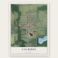
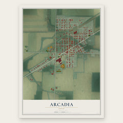
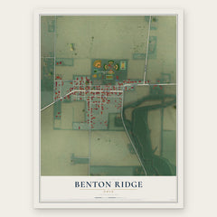
More maps nearby: Bairdstown, McComb, North Baltimore, Vanlue and Bloomdale.
The art of mapping a place
How This Map Was Made
Real places. Remarkable detail. Discover the layers that turn geographic data into a map of home.

The view from above
Aerial imagery reveals the character of the land: woodland, open fields, and the patterns of a place.

The shape of the land
Elevation data brings hills, valleys, and subtle changes in the landscape into view.

The details of home
Roads, waterways, and building footprints come together to make the map feel unmistakably local.

Geography becomes art
Considered color, shading, and typography bring the layers together in a map made for your wall.


Process illustrated with Mendon, Massachusetts. Aerial imagery: USDA NAIP. Terrain: USGS 3D Elevation Program. Map details and finished artwork: KNOWOL.
The Details
About This Print
Choose an archival matte print, or a black or white Ayous wood frame. The archival matte print is unframed.
Select your size and finish above to see the matching product image and price.
Materials & Craftsmanship
A contemporary map with the character of a classic atlas, printed on archival matte paper. Optional frames are made from Ayous wood.
Your printed map does not include the watermark shown in the full-map preview.
Shipping & Delivery
Free shipping within the United States. Every print is made to order in the USA.
Buying a gift? Add a note in your cart and we'll include it. We never put prices in the package.
Prints ship within 2 to 3 business days. Allow 7 to 10 days total from ordering for delivery. Timing may vary during holidays or periods of high order volume.
Read our shipping policy.
Returns and damaged prints
Each print is made to order. Change-of-mind refunds are not available after production.
If your print arrives damaged, misprinted or incorrect, contact support@knowol.com within 30 days of receiving it. Include your order number, photos and a description of the issue.
Read our full refund and replacement policy. For questions about your order, email support@knowol.com.