
Search for another town




Free U.S. delivery 7 to 10 days after you order
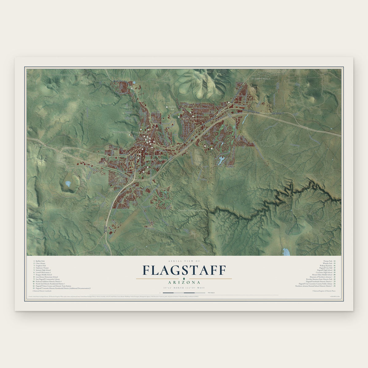
Flagstaff, Arizona Map Art
Building by building, with labeled streets and shaded relief.
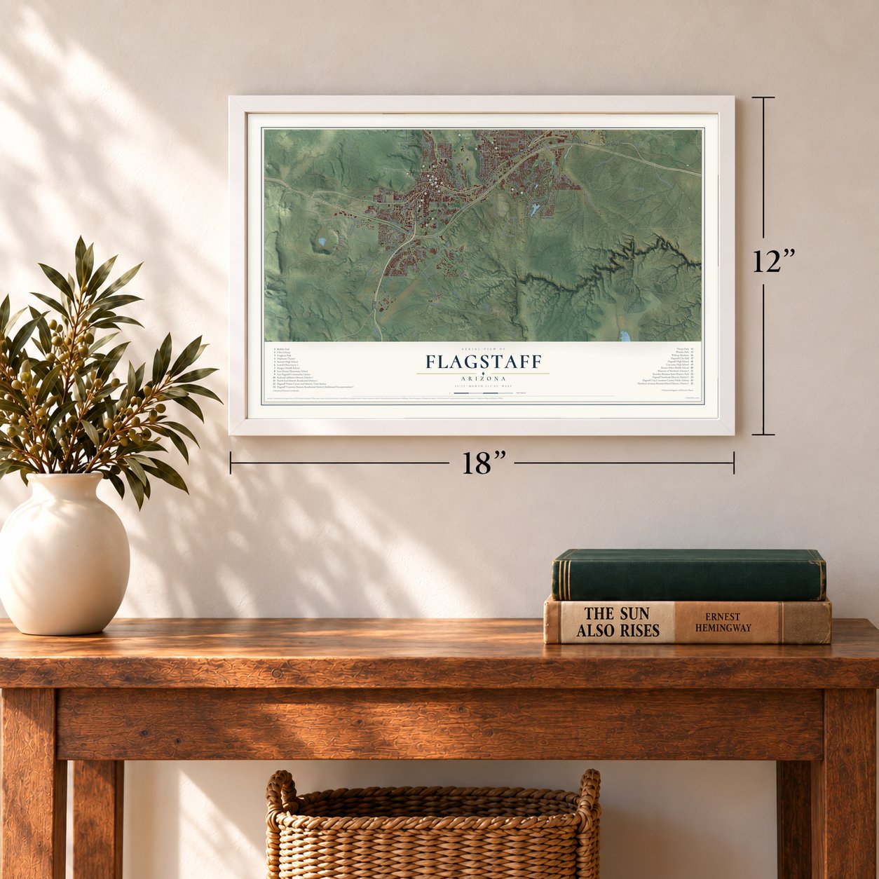
12" x 18" Archival Matte Print
A Map of Home. A Work of Art.
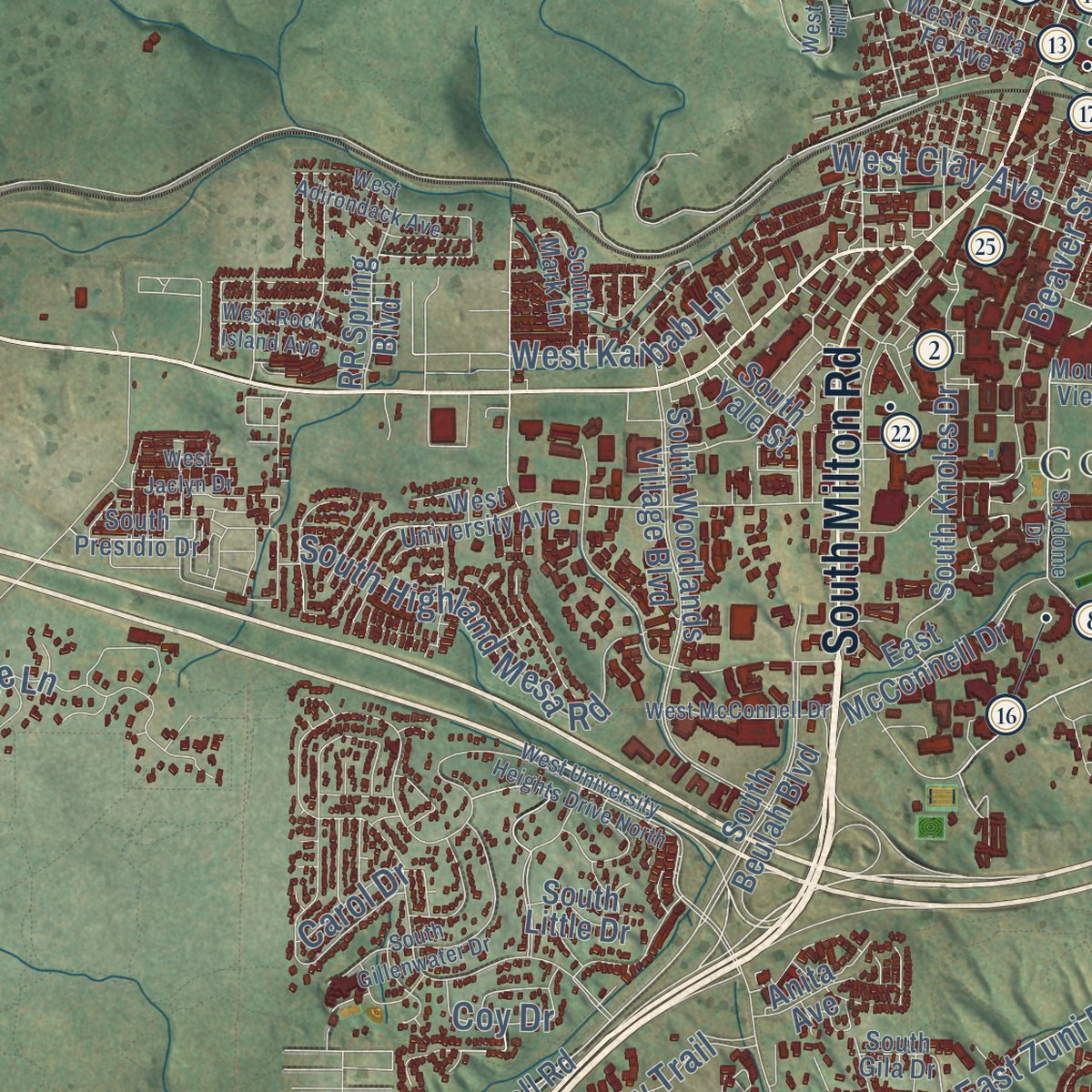
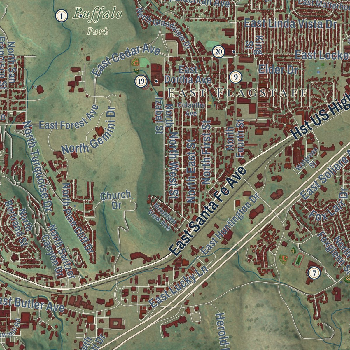
Explore Flagstaff, Arizona from a whole new perspective. Created using aerial imagery and detailed geographic data, this map captures Flagstaff building by building, with labeled streets, familiar landmarks, and shaded topographical relief that highlights the natural contours of the landscape.
Combining modern data with the timeless character of a vintage atlas, this map is just as interesting up close as it is beautiful on the wall. Whether you grew up in Flagstaff, spent memorable years there, or call it home today, this unique map is a great way to celebrate a place that means something to you. Zoom in on the preview to look for your street, and then order a print to put your memories on the wall.

Three ways to hang it
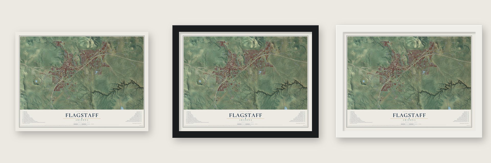
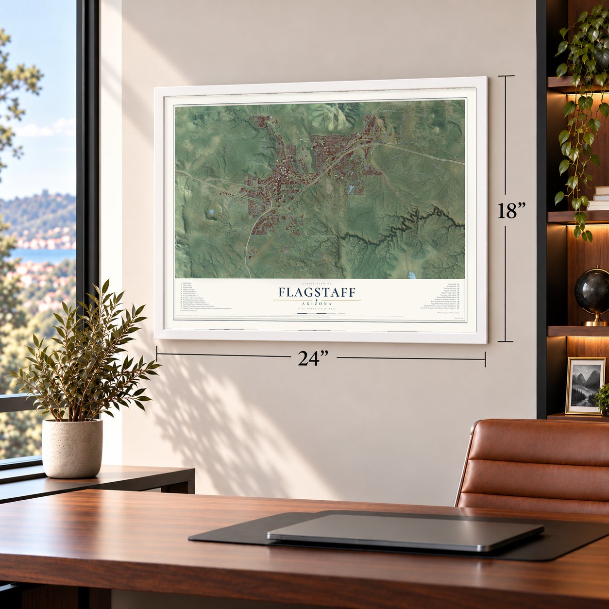
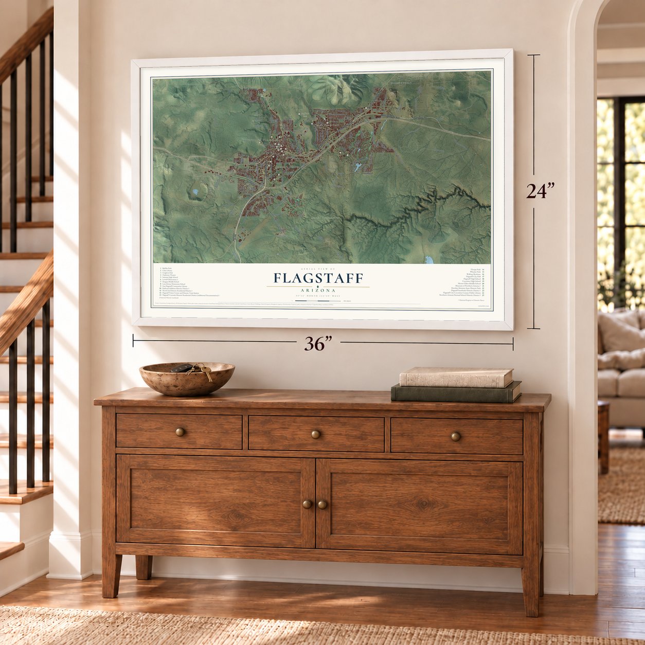
Unframed archival matte, a black wood frame or a white wood frame.
Up close
Geography Worth Displaying
This map was created using accurate cartographic data and authoritative geographic sources, including the U.S. Geological Survey (USGS) and FEMA. The map brings together terrain, waterways, roads, and building detail. The majority of the streets are labeled, houses are accurately depicted, and the topography is derived from government sources. Combining local data with carefully composed color and shading leads to this beautifully detailed Flagstaff artwork for your wall.
Rather than simply showing street outlines, we’ve included as many of the street names as we could reasonably fit on the map while keeping their names legible. Zoom in on the high resolution preview to see exactly what’s on the map. We truly set out to create a statement piece for anyone who loves Flagstaff. So whether it’s for you, or a gift for someone you love, we hope this map of Flagstaff brings back fond memories.
Explore the full map of Flagstaff, Arizona and read about the local places it shows.

Find your street
Names on the Flagstaff map
Every name below is printed on this map. Look for your street, your school, the park where you played, or the pond down the road.
Places and landmarks6
- Downtown Flagstaff
- East Flagstaff
- Cogdill Center
- Buffalo Park
- Coconino National Forest
- Elden Pueblo
Streets and roads160
- Hst US Highway 66
- East Santa Fe Avenue
- North Fort Valley Road
- South Milton Road
- West Santa Fe Avenue
- Old Santa Fe
- North US Highway 89
- East Lockett Road
- East Cedar Avenue
- East Zuni Drive
- FS Road 506
- FS Road 532
- Beulah Boulevard
- South Fourth Street
- West Kiltie Lane
- North Fremont Boulevard
- North Turquoise Drive
- North Dodge Avenue
- Lake Mary Road
- East Butler Avenue
- East Old Walnut Canyon Road
- East John Wesley Powell Boulevard
- FS Road 790
- South Lake Mary Road
- North Country Club Drive
- East Soliere Avenue
- East Linda Vista Drive
- South Lone Tree Road
- North Beaver Street
- North West Street
Show all 160 streets
- High Country Trail
- North East Street
- North Fox Hill Road
- East Mount Pleasant Drive
- Rain Valley Road
- South Highland Mesa Road
- North Gemini Drive
- Herold Ranch Road
- Walnut Canyon Road
- North Aztec Street
- North First Street
- West Kaibab Lane
- Motel Drive
- Beaver Street
- South Pullam Drive
- North Skyview Street
- East Lucky Lane
- Fox Lair Drive
- West Clay Avenue
- Huntington Drive
- Yx Ranch Road
- Diamond Road
- Coy Drive
- Carol Drive
- Frontier Road
- Elder Drive
- Airport Road
- East Pine Knoll Drive
- North Fourth Street
- South Piper Lane
- South Knoles Drive
- Purple Sage Trail
- West Oak Avenue
- South Woodlands Village Boulevard
- South Woody Mountain Road
- North San Francisco Street
- East Forest Avenue
- East Huntington Drive
- North Oakmont Drive
- South Beulah Boulevard
- North Pine Cliff Drive
- North Switzer Canyon Drive
- North Izabel Street
- North Rio de Flag Drive
- North Rain Valley Road
- East Market Place Drive
- Country Club Drive
- North Continental Drive
- Church Drive
- North Walnut Hills Drive
- East Appalachian Avenue
- North Elk Run Street
- East Bear Paw Drive
- East McConnell Drive
- South Babbitt Drive
- South Wildlife Drive
- North Peak View Street
- South Yaqui Street
- East Dortha Avenue
- East Del Rae Drive
- North Kittredge Road
- North Foxglenn Street
- Mount Dell Road
- South Old Munds Highway
- West Pack Trail Drive
- RR Spring Boulevard
- South Yale Street
- West Fir Avenue
- Turkey Hills Drive
- South Little Drive
- East Abbey Road
- West Hogan Drive
- West Meade Lane
- North Bertrand Street
- FS Road 791
- King Street
- Anita Avenue
- Sunset Drive
- Test Road
- Hopi Drive
- North Kasper Avenue
- Forestdale Road
- East Old Walnut Canyon Drive
- West University Avenue
- South Pulliam Drive
- West Lil Ben Trail
- East Coburn Drive
- North Snowflake Drive
- North El Paso Flagstaff Road
- North Grandview Drive
- East Matterhorn Drive
- South Pso del Flag
- North Kinlani Road
- East Monroe Drive
- South Bright Angel Trail
- South Presidio Drive
- Tourmaline
- South Mark Lane
- East Bennett Drive
- South Gila Drive
- West Quartz Road
- Mountain View Road
- North Bonner Street
- Kendall Street
- Skyline Drive
- Garret Road
- Constitution Boulevard
- West University Heights Drive North
- Curling Smoke Road
- South Gillenwater Drive
- Skydome Drive
- West Mars Hill Road
- East Empire Avenue
- East Sawmill Road
- North Amberwood Street
- West McConnell Drive
- West Adirondack Avenue
- Walgreen Street
- West Blue Willow Road
- Mountain View Avenue
- Colanthe Avenue
- West Rock Island Avenue
- East Lake Country Road
- Avocet Avenue
- East Vail Drive
- Co Bar Trail
- West Jaclyn Drive
- East La Serena Drive
- East Swiss Road
- North Vista Drive
Names are listed as they appear on the printed map. Zoom into the product photos to find them.
About Flagstaff, Arizona
Flagstaff is a city of 76,831 people and the county seat of Coconino County, set at about 7,000 feet in the ponderosa pines south of the San Francisco Peaks. Travelers on Beale's wagon road knew the spot as Antelope Spring. On July 4, 1876, a pine tree stripped of its branches was raised as a flagpole at the spring, where Thomas F. McMillan ran his sheep camp, and the town took its name from that pole.
Edward Whipple's saloon of 1871 was the first non-Native settlement, and McMillan's 1876 cabin was the first to last. When the Atlantic and Pacific Railroad came through in 1882, the town split for a time into Old Town and New Town, and the Flagstaff name returned in 1884 with a post office next to the depot. By 1886 no town on the line from Albuquerque to the West Coast was bigger. In 1891 Flagstaff won the seat of the new county over Williams. It was incorporated as a town in 1894, and in 1928, with over 3,000 people, it became a city.
- Pluto found in 1930Percival Lowell wanted a place to study Mars, and in 1894 the astronomer A. E. Douglass steered him to Flagstaff for its height, dark skies and rail line. The observatory rose on Mars Hill that year, and its 24-inch Clark telescope followed in 1896. Clyde Tombaugh discovered Pluto there in 1930. In the 1960s the U.S. Geological Survey used the same telescope to map the Moon so Apollo planners could pick safe landing sites.
- The first Dark-Sky CityFlagstaff has protected its night sky since 1958, when Ordinance 400 outlawed big searchlights in town. On October 24, 2001, Flagstaff became the first International Dark-Sky City anywhere in the world, a title given by the International Dark-Sky Association.
- Two hotels on Santa Fe AvenueIn 1888 Thomas McMillan bought an unfinished building at today's Leroux Street and Santa Fe Avenue and made it the Bank Hotel. John Weatherford opened the Weatherford Hotel on January 1, 1900. It was built of red Moenkopi sandstone, which the town favored because it resisted fire. His 1911 movie theater, the town's first, fell under heavy snow a few years later, and he replaced it with the Orpheum. Both the hotel and the Orpheum still operate.
- Route 66 arrives in 1926The Babbitt and Riordan families lobbied hard for Route 66 to pass through Flagstaff, and the highway was finished in 1926. That year the Santa Fe Railroad built a new depot and Front Street became Santa Fe Avenue. Townspeople pooled their money for the Hotel Monte Vista, which opened January 1, 1927. The Motel Du Beau, the city's first motel, followed in 1929 at Beaver Street and Phoenix Avenue. By the end of the 1920s tourism had passed lumber.
- A museum begun in two roomsTwo Philadelphians, the zoologist Harold S. Colton and the artist Mary-Russell Ferrell Colton, started the Museum of Northern Arizona in 1928 in two rooms of the Flagstaff Woman's Club. It grew into an exhibits building of 24,700 square feet, and Katharine Bartlett, its curator from 1930, served 51 years. Its Ethnology Gallery covers Hopi, Zuni, Navajo and Pai cultures.
Keep exploring Arizona
Flagstaff is one of 528 Arizona towns we've mapped. Every dot on the map is a print of its own.
The search covers every state, Arizona first.
Near Flagstaff
Order 2 or more town maps and save 10%. Shown in the size and finish you picked above, so they hang as a set.
- Mountainaire 12" x 18" / Archival Matte Print $39.99
- Kachina Village 12" x 18" / Archival Matte Print $39.99
- Doney Park 12" x 18" / Archival Matte Print $39.99
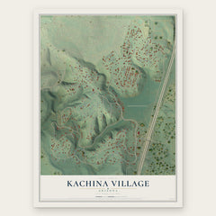

More maps nearby: Mountain View Ranches, Timberline-Fernwood, Bellemont, Fort Valley and Munds Park.
The art of mapping a place
How This Map Was Made
Real places. Remarkable detail. Discover the layers that turn geographic data into a map of home.

The view from above
Aerial imagery reveals the character of the land: woodland, open fields, and the patterns of a place.

The shape of the land
Elevation data brings hills, valleys, and subtle changes in the landscape into view.

The details of home
Roads, waterways, and building footprints come together to make the map feel unmistakably local.

Geography becomes art
Considered color, shading, and typography bring the layers together in a map made for your wall.


Process illustrated with Mendon, Massachusetts. Aerial imagery: USDA NAIP. Terrain: USGS 3D Elevation Program. Map details and finished artwork: KNOWOL.
The Details
About This Print
Choose an archival matte print, or a black or white Ayous wood frame. The archival matte print is unframed.
Select your size and finish above to see the matching product image and price.
Materials & Craftsmanship
A contemporary map with the character of a classic atlas, printed on archival matte paper. Optional frames are made from Ayous wood.
Your printed map does not include the watermark shown in the full-map preview.
Shipping & Delivery
Free shipping within the United States. Every print is made to order in the USA.
Buying a gift? Add a note in your cart and we'll include it. We never put prices in the package.
Prints ship within 2 to 3 business days. Allow 7 to 10 days total from ordering for delivery. Timing may vary during holidays or periods of high order volume.
Read our shipping policy.
Returns and damaged prints
Each print is made to order. Change-of-mind refunds are not available after production.
If your print arrives damaged, misprinted or incorrect, contact support@knowol.com within 30 days of receiving it. Include your order number, photos and a description of the issue.
Read our full refund and replacement policy. For questions about your order, email support@knowol.com.