
Search for another town
Free U.S. delivery 7 to 10 days after you order
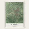
Florence, South Carolina Map Art
Building by building, with labeled streets and shaded relief.
12" x 18" Archival Matte Print
A Map of Home. A Work of Art.
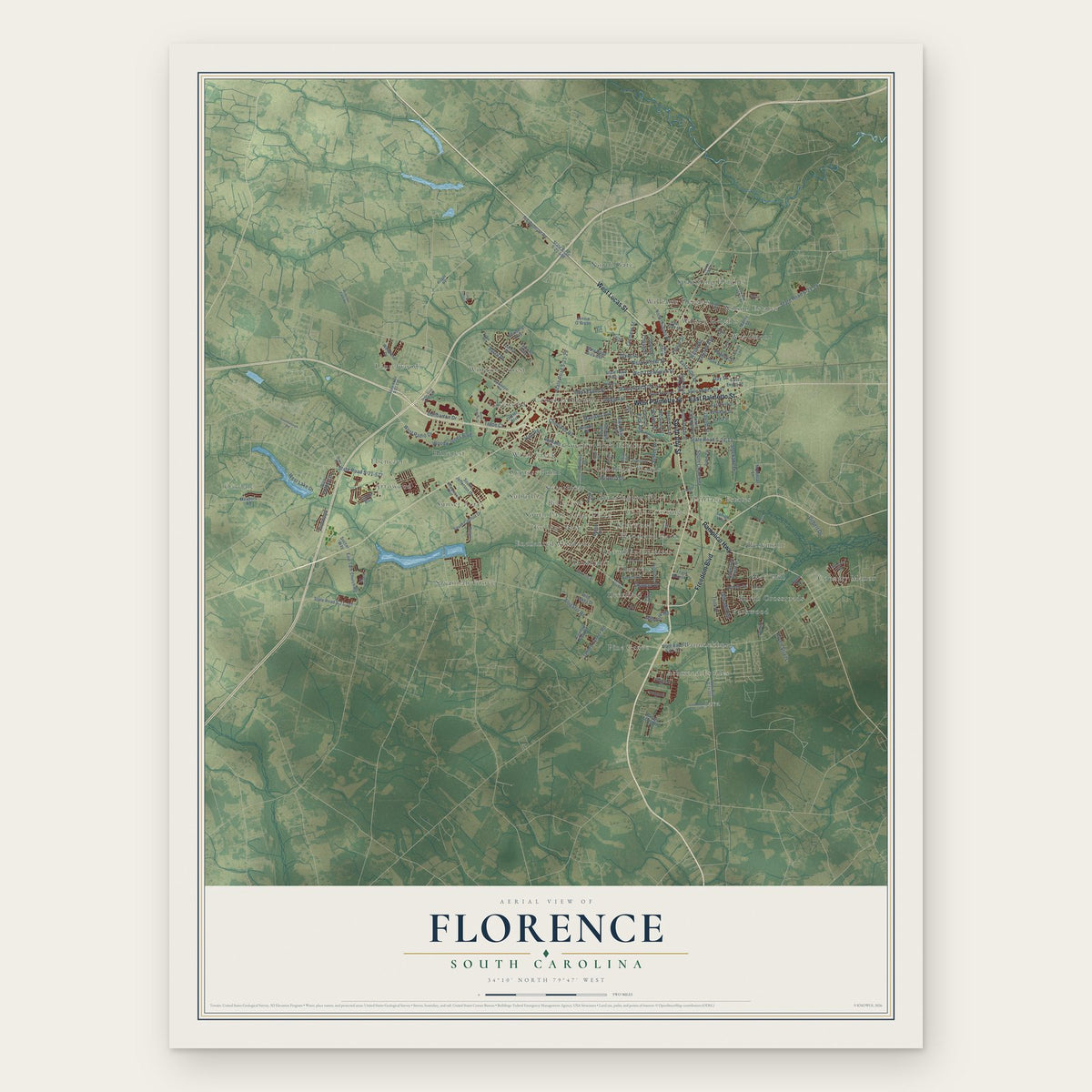
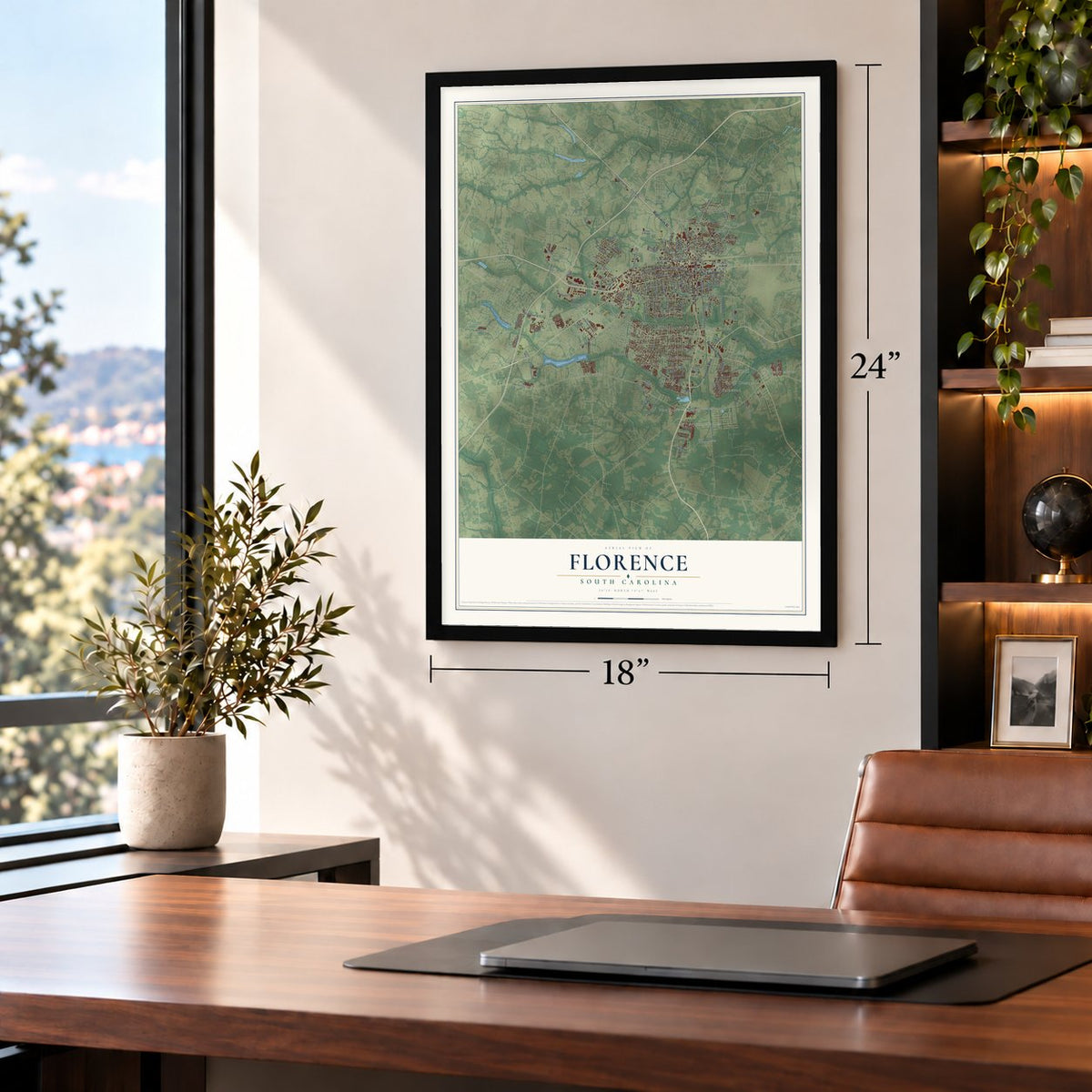
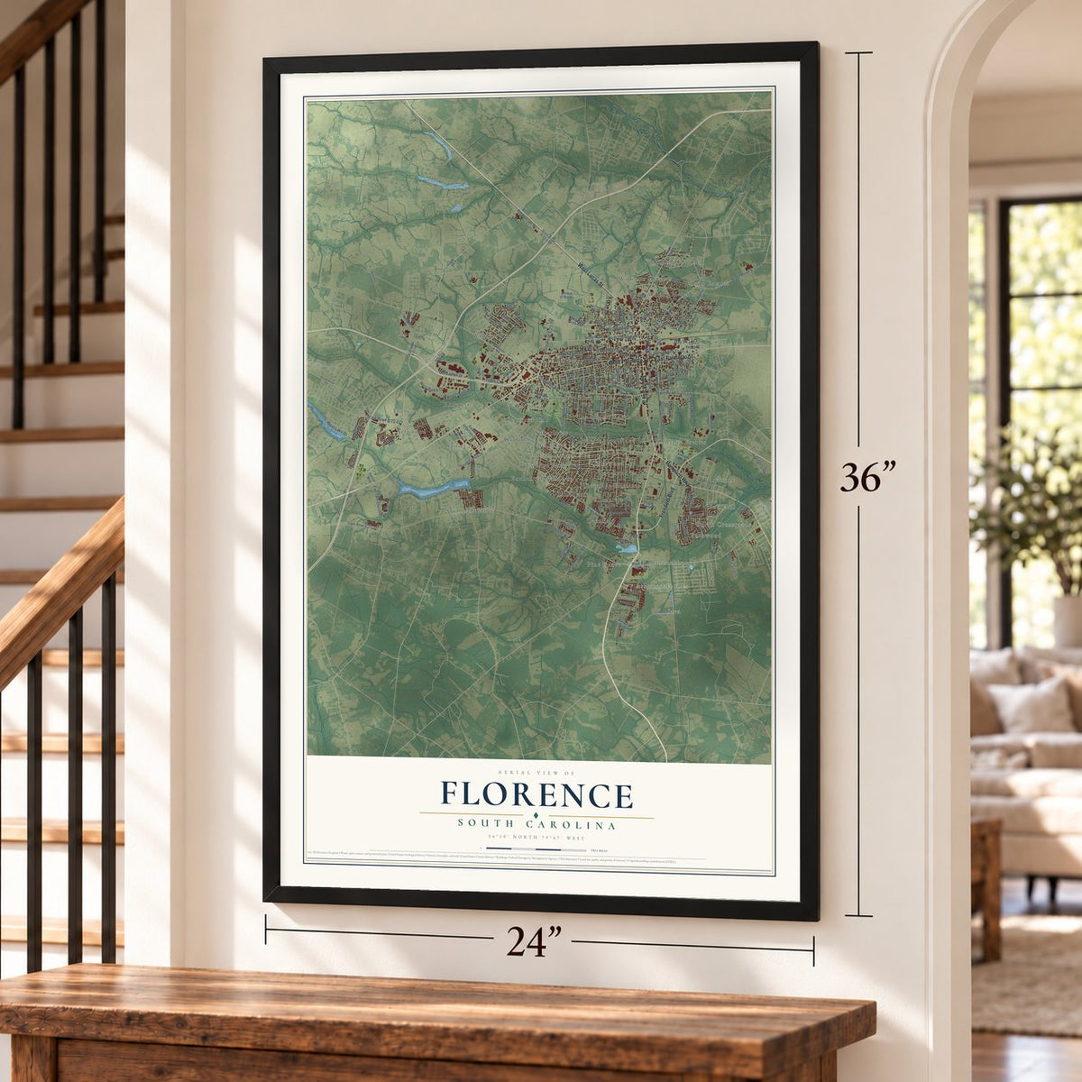
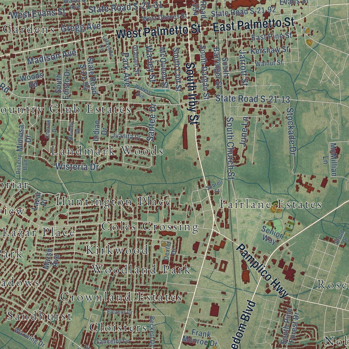
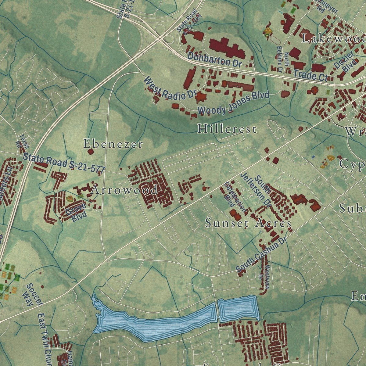
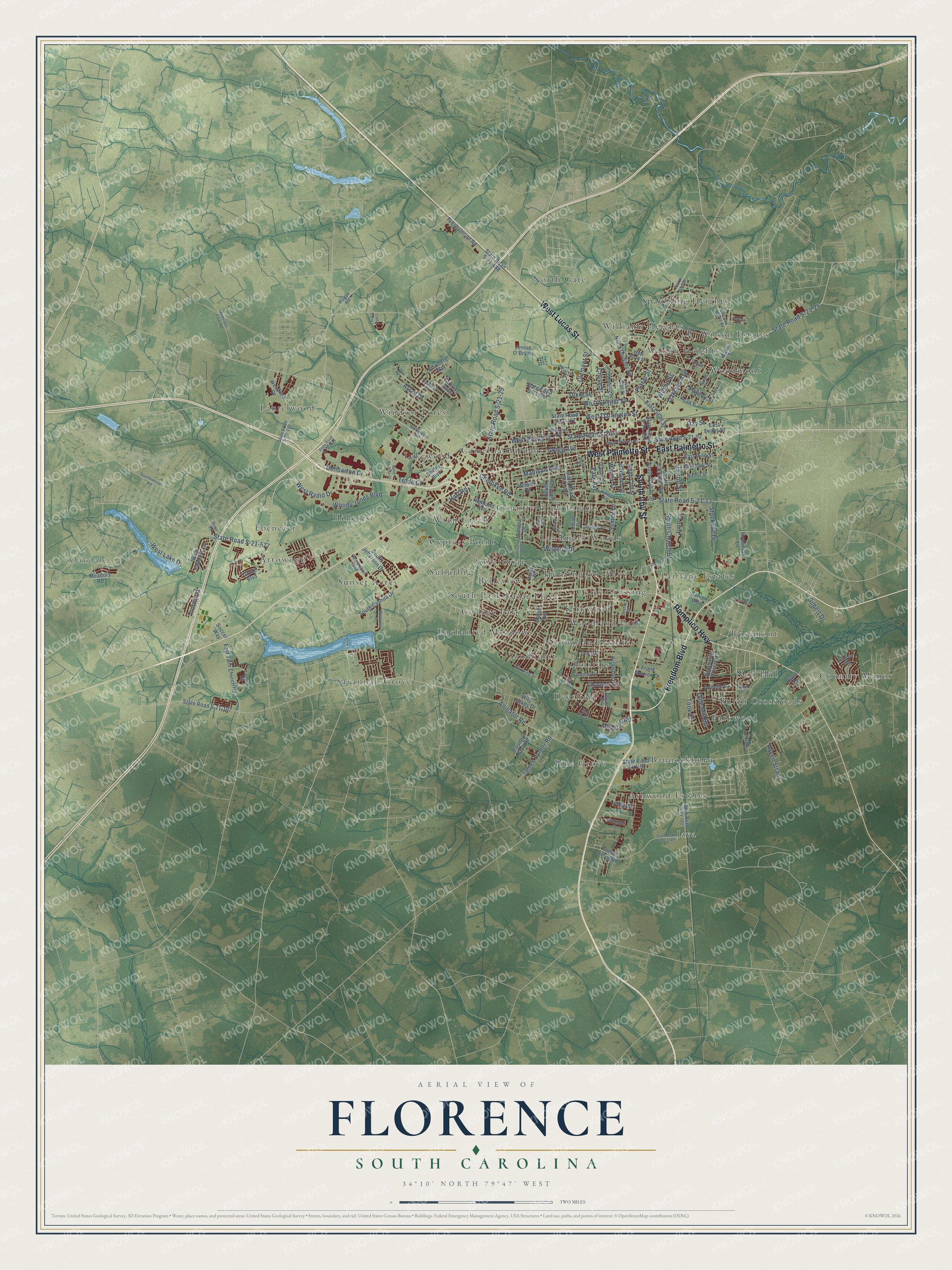
Explore Florence, South Carolina from a whole new perspective. Created using aerial imagery and detailed geographic data, this map captures Florence building by building, with labeled streets, familiar landmarks, and shaded topographical relief that highlights the natural contours of the landscape.
Combining modern data with the timeless character of a vintage atlas, this map is just as interesting up close as it is beautiful on the wall. Whether you grew up in Florence, spent memorable years there, or call it home today, this unique map is a great way to celebrate a place that means something to you. Zoom in on the preview to look for your street, and then order a print to put your memories on the wall.
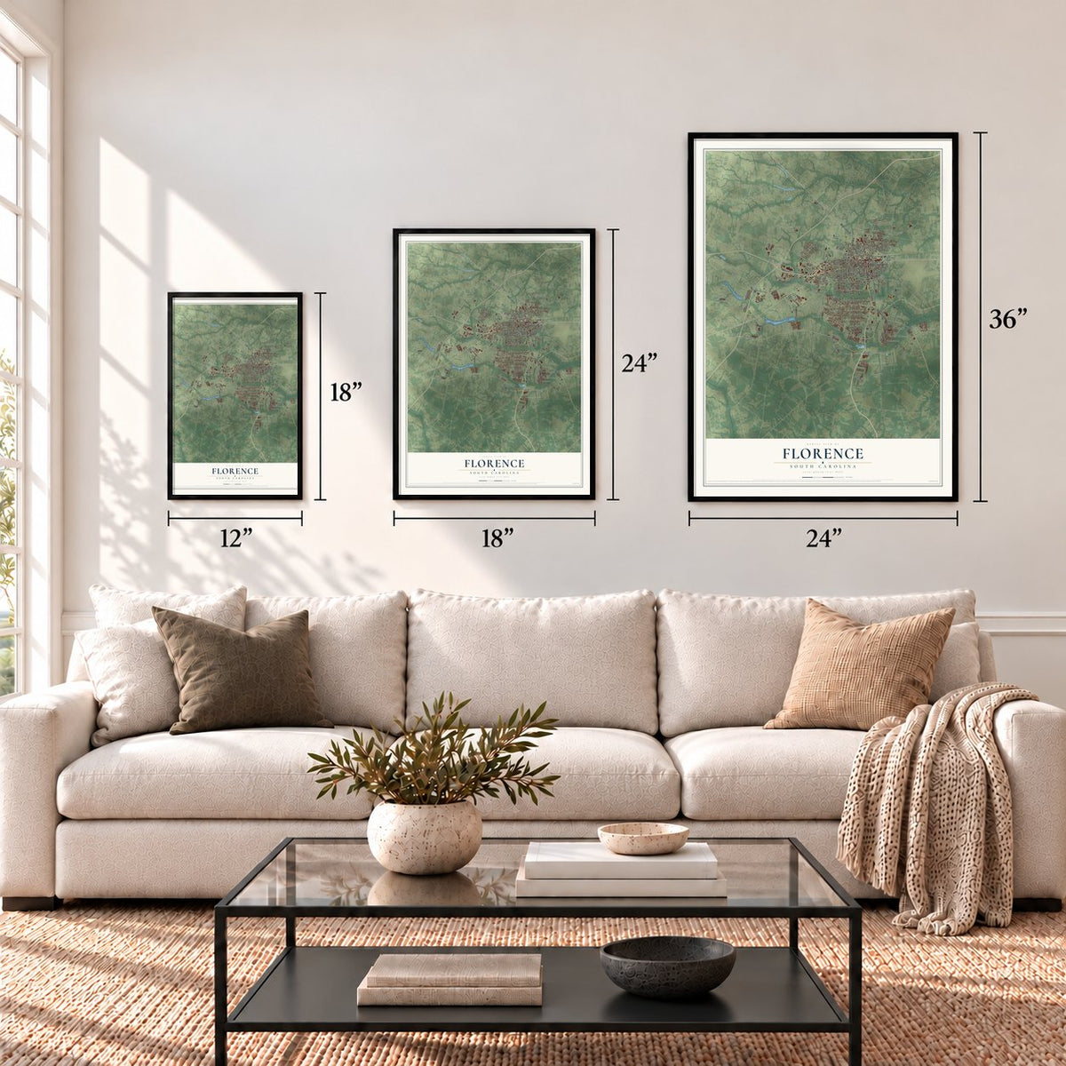
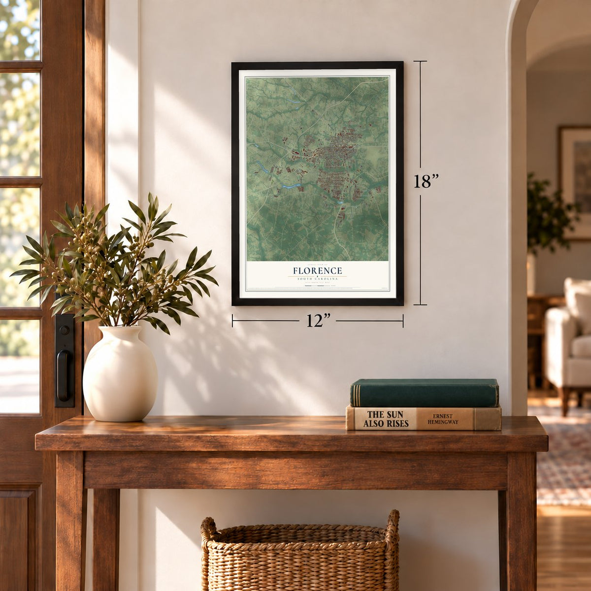
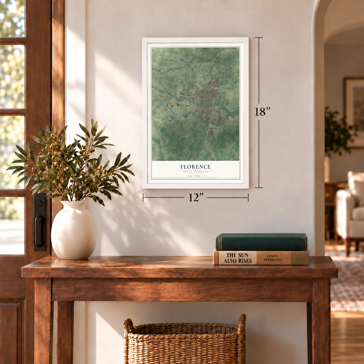
Three ways to hang it
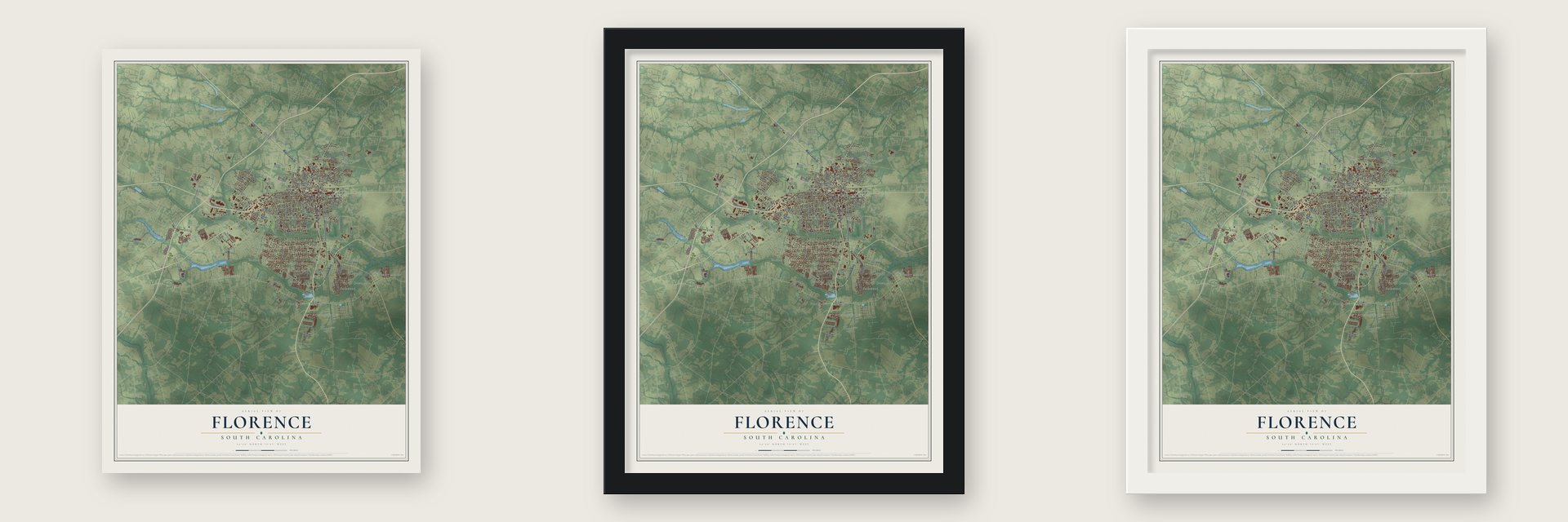
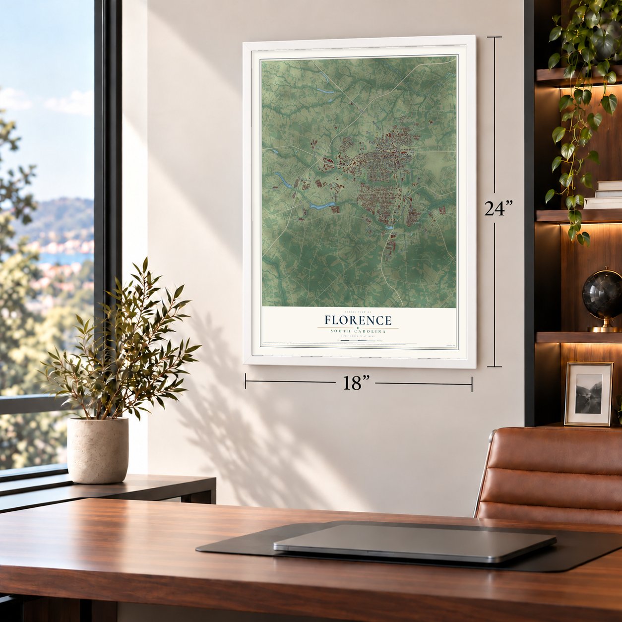
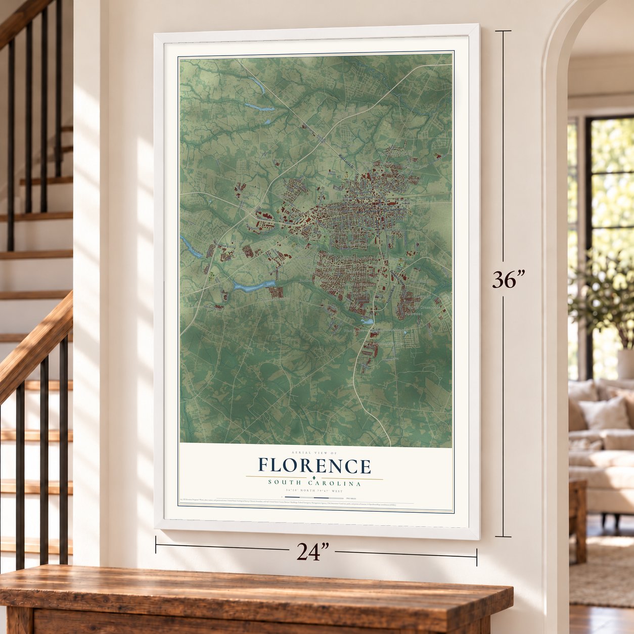
Unframed archival matte, a black wood frame or a white wood frame.
Up close
Geography Worth Displaying
This map was created using accurate cartographic data and authoritative geographic sources, including the U.S. Geological Survey and the Census Bureau. The map brings together terrain, waterways, roads, and building detail. The majority of the streets are labeled, houses are accurately depicted, and the topography is derived from government sources. Combining local data with carefully composed color and shading leads to this beautifully detailed Florence artwork for your wall.
Rather than simply showing street outlines, we’ve included as many of the street names as we could reasonably fit on the map while keeping their names legible. Zoom in on the high resolution preview to see exactly what’s on the map. We truly set out to create a statement piece for anyone who loves Florence. So whether it’s for you, or a gift for someone you love, we hope this map of Florence brings back fond memories.
Read the story behind this map of Florence, South Carolina from 2026.
Find your street
Names on the Florence map
Every name below is printed on this map. Look for your street, your school, the park where you played, or the pond down the road.
Places and landmarks45
- Oakdale
- Arrowood
- Ashwood Estates
- Bannockburn
- Belleview
- Burch Crossroads
- Camellia Gardens
- Cloisters
- Coles Crossing
- College Park
- Country Club Estates
- Country Manor
Show all 45 places
- Crownland Estates
- Cypress Point
- Deerfield
- Ebenezer
- Enchanted Meadows
- Fairlane Estates
- Hillcrest
- Huntington Place
- Java
- Kirkwood
- Lakewood
- Landmark Woods
- Laurelwood
- Lazar Place
- Nob Hill
- North Gate
- Parkwood
- Pine Grove
- Rosemont
- Sandhurst
- Savannah Grove
- South Park
- Spaulding Heights
- Suburbia
- Sunset Acres
- Sweetbriar
- Williams Heights
- Wilson Estates
- Wilson Heights
- Windsor Forest
- Woodland Park
- Woodmont
- Wren Creek
Streets and roads148
- South Irby Street
- West Palmetto Street
- West Lucas Street
- Freedom Boulevard
- Pamplico Highway
- East Palmetto Street
- State Road S-21-31
- State Road S-21-24
- Cherokee Road
- Oakland Avenue
- State Road S-21-29
- West Darlington Street
- State Road S-21-13
- West Evans Street
- Alligator Road
- South Church Street
- West Sumter Street
- Dunbarton Drive
- Gregg Avenue
- State Road S-21-577
- Wisteria Drive
- Park Avenue
- Dixie Street
- Woody Jones Boulevard
- Chase Street
- Madison Avenue
- West Radio Drive
- Stockade Drive
- Took Place
- Day Street
Show all 148 streets
- West Lake Drive
- Jarrott Street
- Warley Street
- James Turner Road
- Santee Drive
- Ascot Drive
- Chaucer Drive
- June Lane
- Trade Court
- Olde Mill Road
- Haven Straits
- Millstone Road
- Fraser Street
- Clement Street
- Pawley Street
- Gilbert Drive
- Trotwood
- Wilson Street
- Hart Road
- South Dargan Street
- East Evans Street
- South Cashua Drive
- East Lucas Street
- Marsh Avenue
- Malloy Street
- East Pine Street
- State Road S-21-107
- State Road S-21-167
- South Edisto Drive
- State Road S-21-354
- State Road S-21-92
- State Road S-21-57
- State Road S-21-667
- South Coit Street
- State Road S-21-94
- Grove Boulevard
- Green Acres Road
- East Twin Church Road
- McQueen Street
- Westfield Drive
- Wild Turkey Drive
- South Jefferson Drive
- South Barringer Street
- North Douglas Street
- State Road S-21-498
- Edinberg Way
- Frank Monroe Drive
- McMillian Lane
- Dozier Boulevard
- Parsons Gate
- Mimosa Drive
- Presbyterian Road
- Rice Planters Lane
- South Pine Forest Drive
- Kershaw Street
- Country Club Road
- Indian Drive
- Highland Avenue
- Annelle Drive
- Meadors Road
- Jennie O'Bryan
- Park Place
- Woods Road
- Soccer Way
- Senior Way
- Blass Drive
- North Irby Street
- State Road S-21-112
- Hoffmeyer Road
- Pisgah Road
- Waverly Avenue
- Sanborn Street
- Celebration Boulevard
- North Coit Street
- Lancelot Drive
- West Vista Street
- Hammer Circle
- West Cheves Street
- Carver Street
- Graham Street
- State Road S-21-722
- Waxwing Drive
- Juanita Drive
- Dexter Drive
- Beckett Drive
- Walnut Street
- Rainford Road
- Coker Street
- Encino Drive
- Wilson Road
- Third Loop Road
- State Road S-21-1184
- East Sam Harrell Road
- State Road S-21-1109
- North Beltline Drive
- Rosemount Drive
- Waters Avenue
- Trotter Road
- Southborough Road
- Deberry Boulevard
- Southbrook Circle
- Lynch Street
- Cheraw Drive
- Hunter Street
- Beverly Drive
- Ventura Court
- Anderson Farm Road
- Norfolk Street
- Westview Drive
- Red Tip Circle
- Cedar Crest Lane
- Seward Street
- Lafayette Circle
- Glenmore Way
- Eleanor Drive
- Sebrell Street
- Texas Road
- Broad Drive
Names are listed as they appear on the printed map. Zoom into the product photos to find them.
About Florence, South Carolina
Florence is a city of 39,899 people and the county seat of Florence County, in the Pee Dee region. Its ground lay in one of the first townships that the Lords Proprietors laid out in 1719. Early farmers raised indigo, cotton, timber and naval stores, and boats floated those goods along the Great Pee Dee River to Georgetown's harbor. In the middle of the 1800s, the Wilmington and Manchester and the Northeastern railroads were built so that they crossed here. General William Harllee, president of the Wilmington and Manchester, built his home at the crossing and named the new community Florence, after his daughter.
The Reconstruction government chartered the city in 1871. Florence County was formed in 1888, and the city was incorporated two years later, in 1890. After the Civil War the railroads hauled the area's cotton and timber to market, and by the turn of the century they carried its tobacco too. After World War II the city added textile, paper and drug plants, and in 1965 the National Civic League named Florence an All-American City.
- The Florence StockadeDuring the Civil War the town served the Confederacy as a supply depot and a place to repair trains. It was also the site of the Florence Stockade, a prison for somewhere from 12,000 to 18,000 captured Union soldiers. More than 2,800 of them died of disease and were buried next to the prison. After the war that burial ground became Florence National Cemetery, which joined the National Register in 1998.
- A theater since 1923Local actors formed the Community Players in 1923. The group changed its name over the years, to the Pinewood Plays, then the Little Theater Guild, and finally the Florence Little Theater Guild. After a fire took their first stage at the Pinewood Club, they played in the YMCA, high school gyms and the movie house at the Army Air Base. They built their own theater in 1968 and a larger one in 2008.
- Opened in 1906 and 1912The Industrial School for Boys opened in Florence in 1906. It later became a residential facility for the state's mental health department. In 1912 Clemson College started its Pee Dee Experimental Station here.
Keep exploring South Carolina
Florence is one of 540 South Carolina towns we've mapped. Every dot on the map is a print of its own.
The search covers every state, South Carolina first.
Near Florence
Order 2 or more town maps and save 10%. Shown in the size and finish you picked above, so they hang as a set.
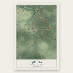
- Quinby 12" x 18" / Archival Matte Print $39.99
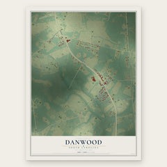
- Danwood 12" x 18" / Archival Matte Print $39.99
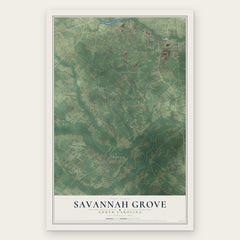
- Savannah Grove 12" x 18" / Archival Matte Print $39.99
More maps nearby: Timmonsville, Darlington, Coward, Lamar and Dovesville.
The art of mapping a place
How This Map Was Made
Real places. Remarkable detail. Discover the layers that turn geographic data into a map of home.

The view from above
Aerial imagery reveals the character of the land: woodland, open fields, and the patterns of a place.

The shape of the land
Elevation data brings hills, valleys, and subtle changes in the landscape into view.

The details of home
Roads, waterways, and building footprints come together to make the map feel unmistakably local.

Geography becomes art
Considered color, shading, and typography bring the layers together in a map made for your wall.


Process illustrated with Mendon, Massachusetts. Aerial imagery: USDA NAIP. Terrain: USGS 3D Elevation Program. Map details and finished artwork: KNOWOL.
The Details
About This Print
Choose an archival matte print, or a black or white Ayous wood frame. The archival matte print is unframed.
Select your size and finish above to see the matching product image and price.
Materials & Craftsmanship
A contemporary map with the character of a classic atlas, printed on archival matte paper. Optional frames are made from Ayous wood.
Your printed map does not include the watermark shown in the full-map preview.
Shipping & Delivery
Free shipping within the United States. Every print is made to order in the USA.
Buying a gift? Add a note in your cart and we'll include it. We never put prices in the package.
Prints ship within 2 to 3 business days. Allow 7 to 10 days total from ordering for delivery. Timing may vary during holidays or periods of high order volume.
Read our shipping policy.
Returns and damaged prints
Each print is made to order. Change-of-mind refunds are not available after production.
If your print arrives damaged, misprinted or incorrect, contact support@knowol.com within 30 days of receiving it. Include your order number, photos and a description of the issue.
Read our full refund and replacement policy. For questions about your order, email support@knowol.com.