
Search for another town

Free U.S. delivery 7 to 10 days after you order
Fort Kent, Maine Map Art
Building by building, with labeled streets and shaded relief.
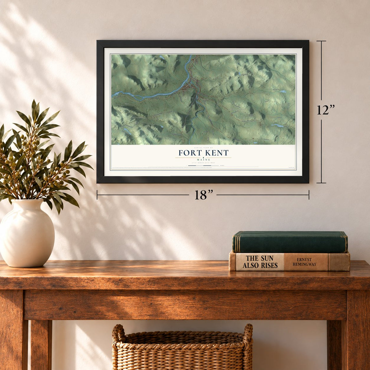
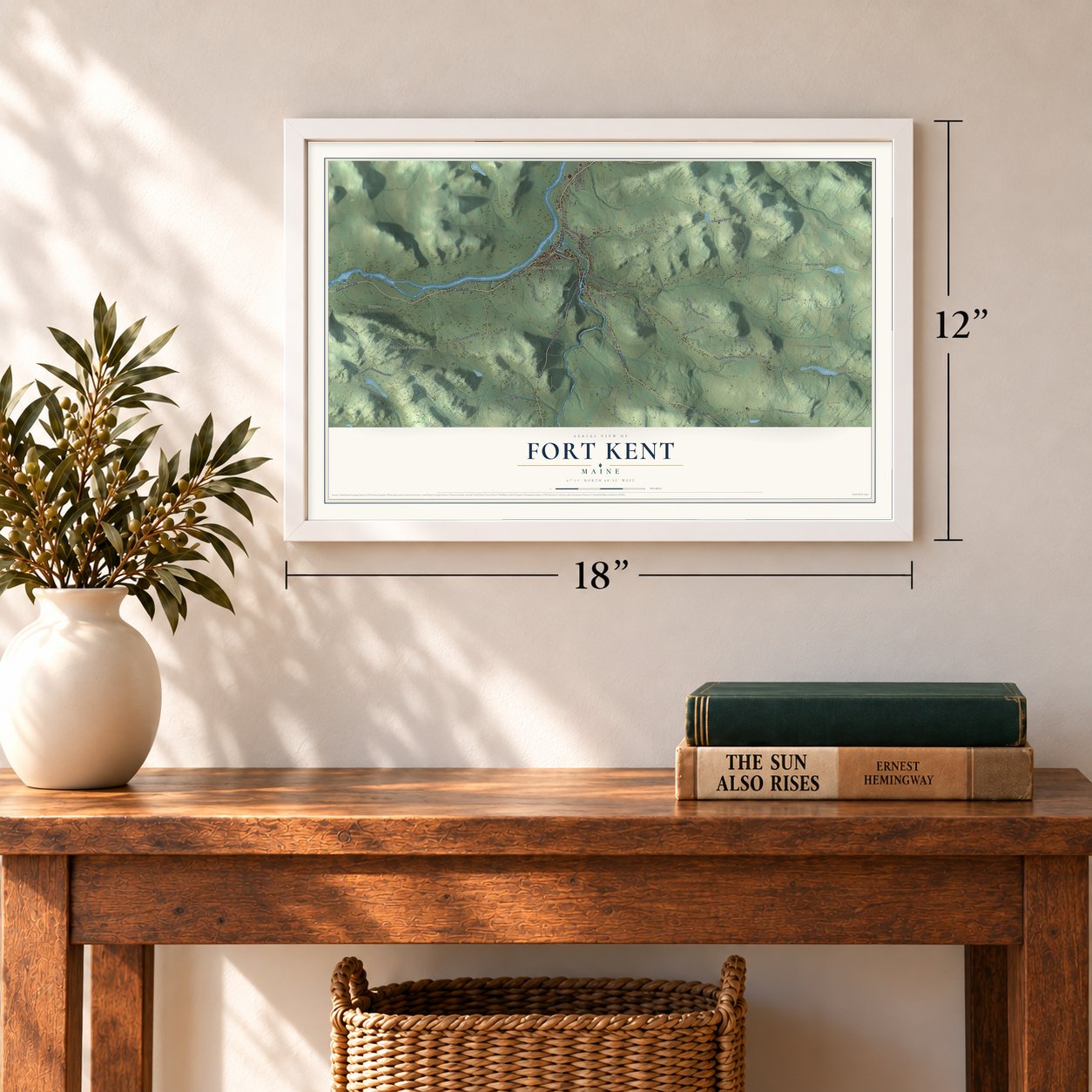
12" x 18" Archival Matte Print
A Map of Home. A Work of Art.
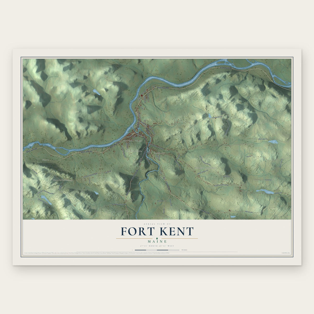
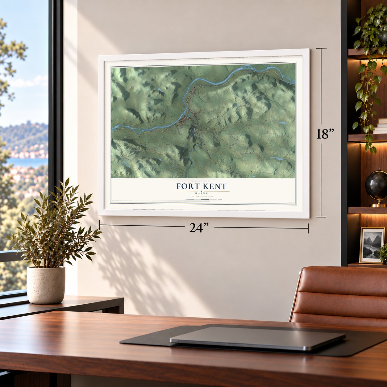
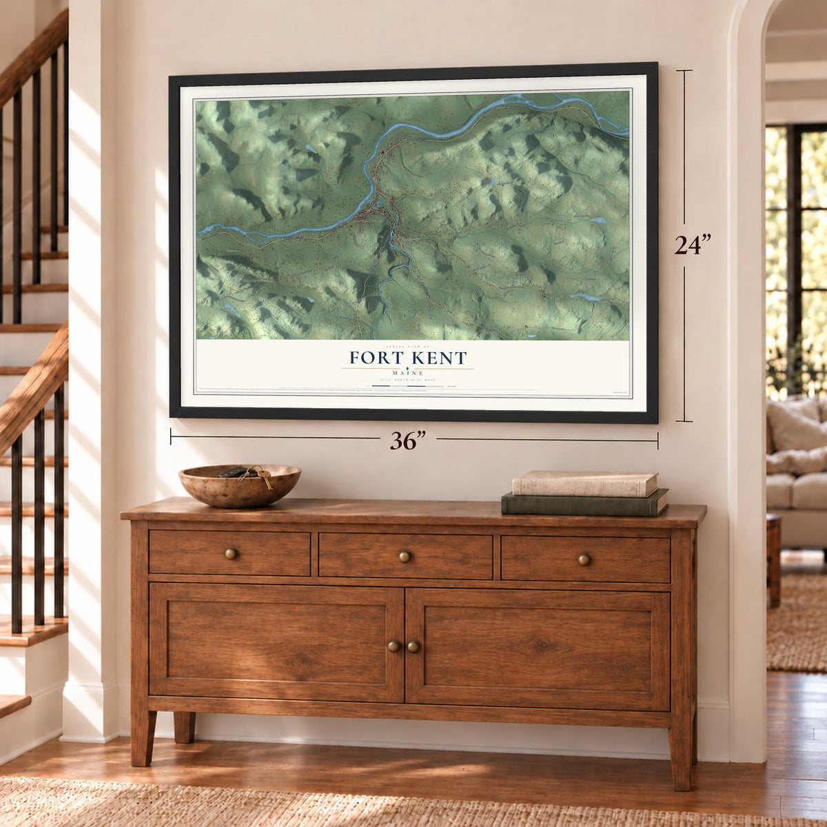
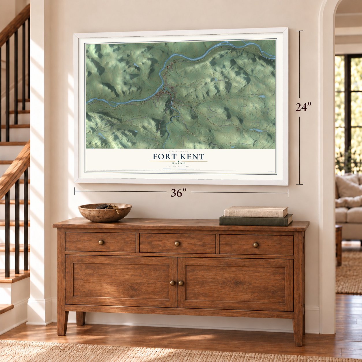
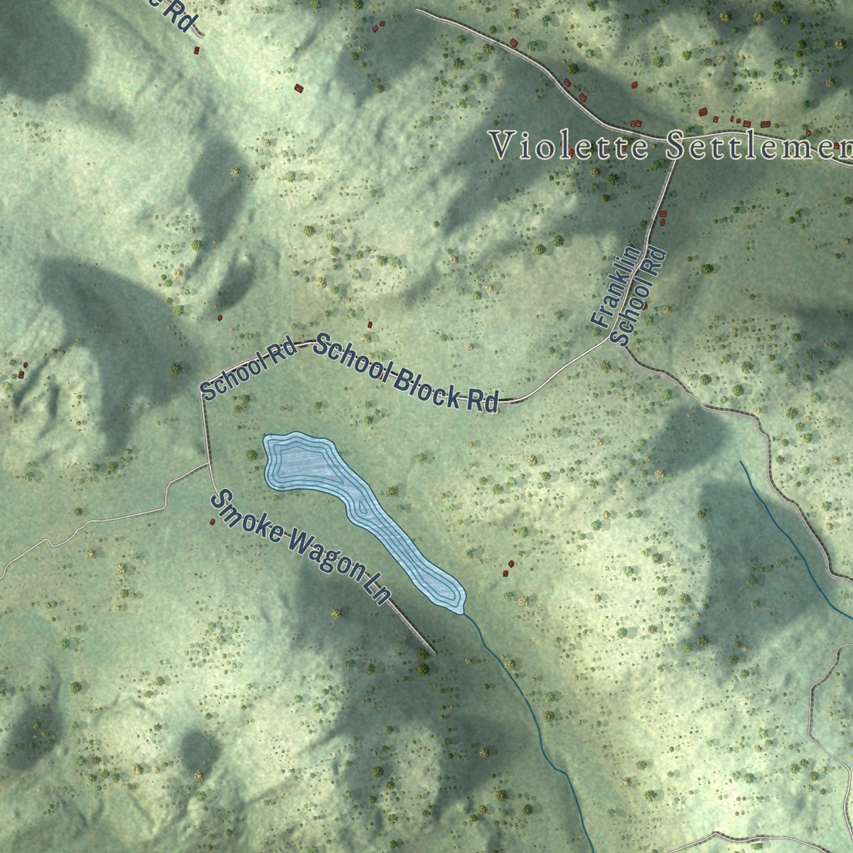
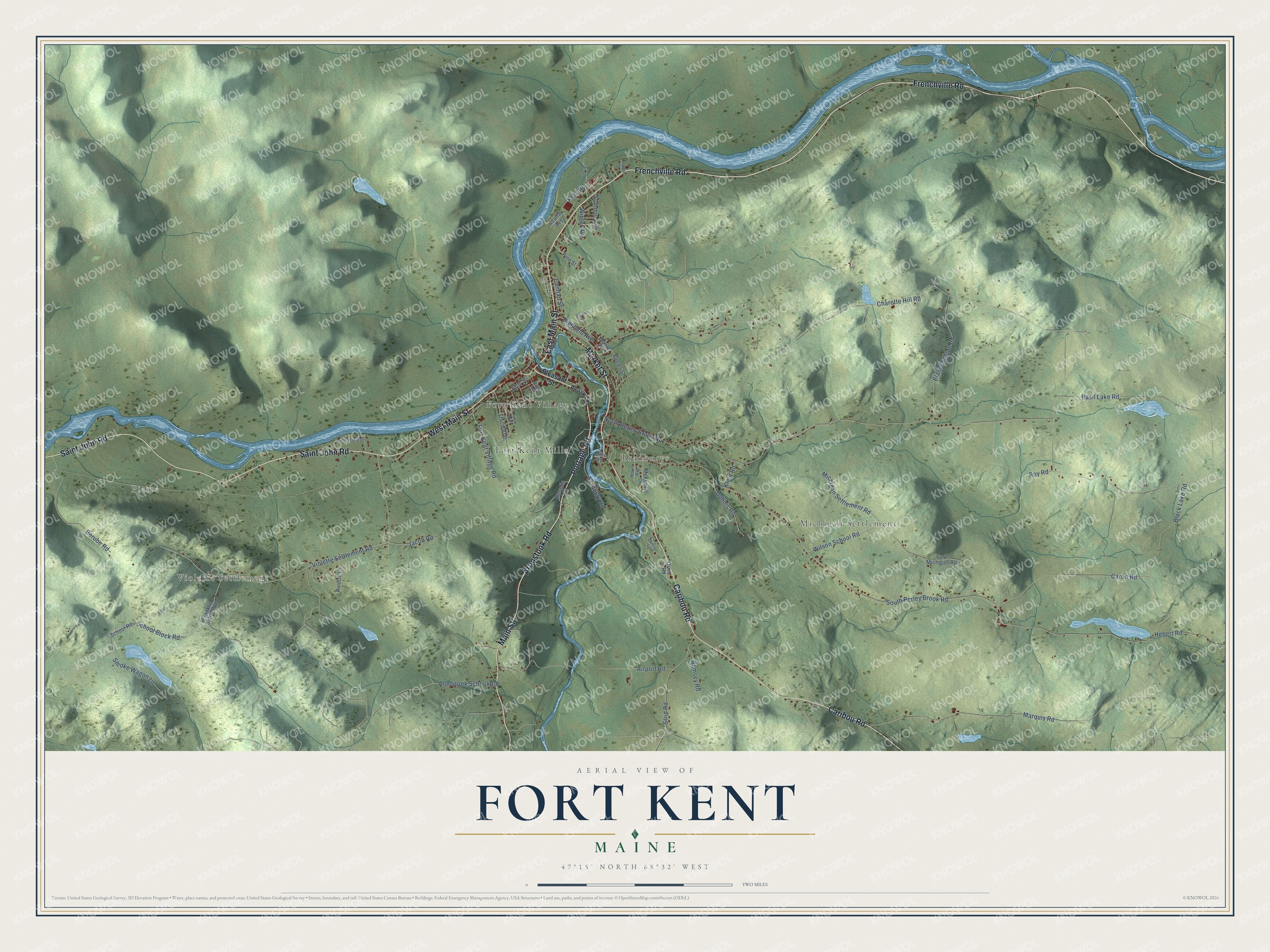
Explore Fort Kent, Maine from a whole new perspective. Created using aerial imagery and detailed geographic data, this map captures Fort Kent building by building, with labeled streets, familiar landmarks, and shaded topographical relief that highlights the natural contours of the landscape.
Combining modern data with the timeless character of a vintage atlas, this map is just as interesting up close as it is beautiful on the wall. Whether you grew up in Fort Kent, spent memorable years there, or call it home today, this unique map is a great way to celebrate a place that means something to you. Zoom in on the preview to look for your street, and then order a print to put your memories on the wall.
Three ways to hang it
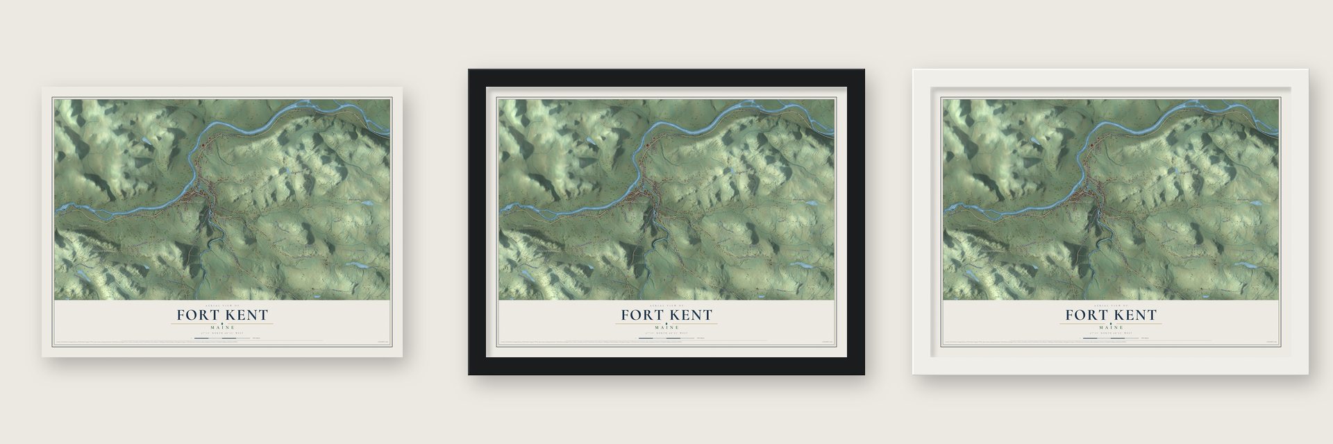
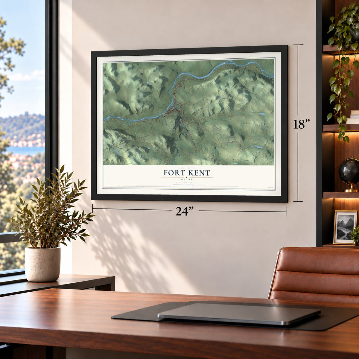
Unframed archival matte, a black wood frame or a white wood frame.
Up close
Geography Worth Displaying
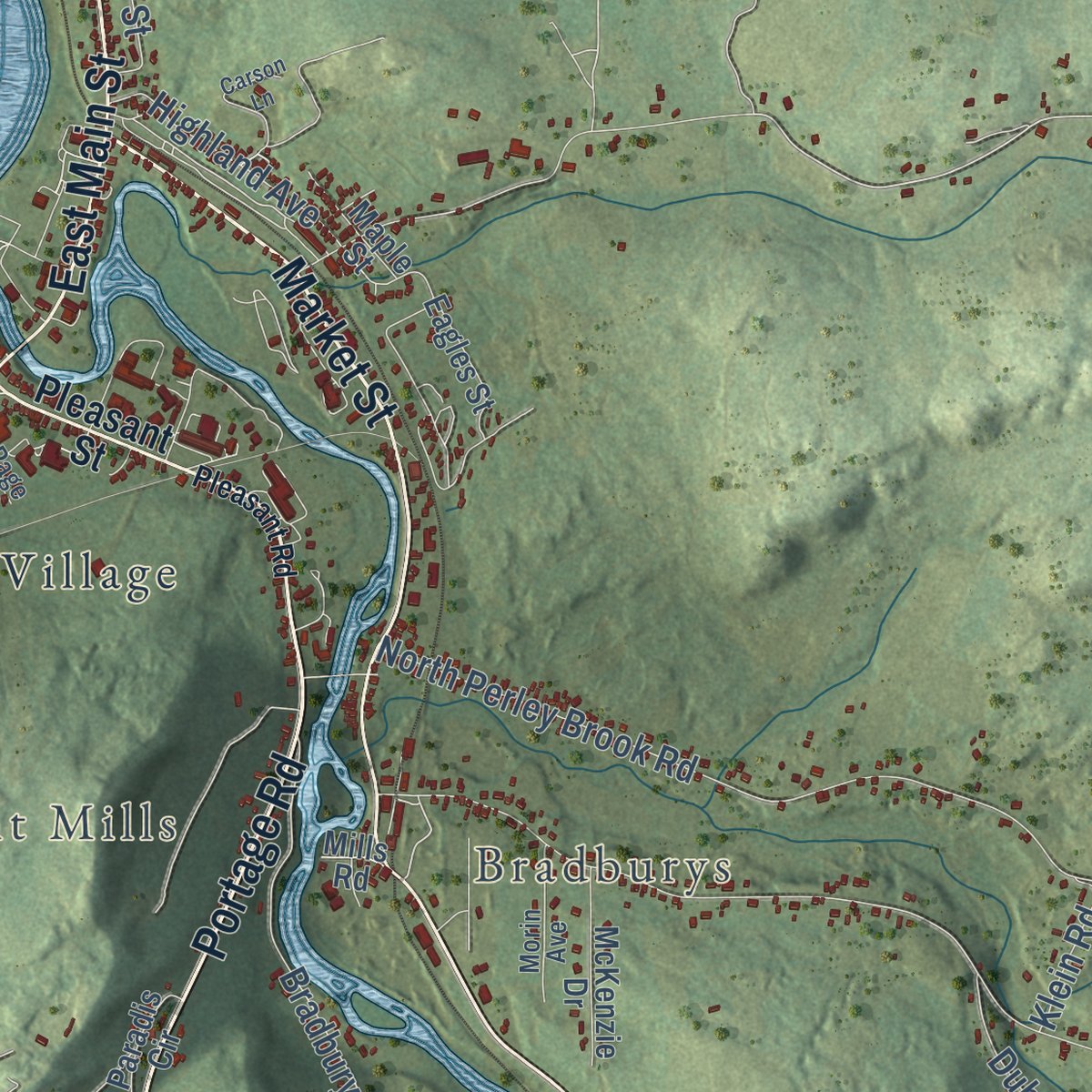
This map was created using accurate cartographic data and authoritative geographic sources, including the U.S. Geological Survey (USGS) and FEMA. The map brings together terrain, waterways, roads, and building detail. The majority of the streets are labeled, houses are accurately depicted, and the topography is derived from government sources. Combining local data with carefully composed color and shading leads to this beautifully detailed Fort Kent artwork for your wall.
Rather than simply showing street outlines, we’ve included as many of the street names as we could reasonably fit on the map while keeping their names legible. Zoom in on the high resolution preview to see exactly what’s on the map. We truly set out to create a statement piece for anyone who loves Fort Kent. So whether it’s for you, or a gift for someone you love, we hope this map of Fort Kent brings back fond memories.
Explore the full map of Fort Kent, Maine and read about the local places it shows.

Find your street
Names on the Fort Kent map
Every name below is printed on this map. Look for your street, your school, the park where you played, or the pond down the road.
Places and landmarks6
- Pierre
- Violette Settlement
- Fort Kent Mills
- Bradburys
- Michigan Settlement
- Fort Kent Village
Streets and roads63
- Caribou Road
- Aroostook Road
- West Main Street
- Main Street
- Frenchville Road
- East Main Street
- Saint John Road
- Portage Road
- Market Street
- Charette Hill Road
- Violette Settlement Road
- North Perley Brook Road
- South Perley Brook Road
- Marquis Road
- Black Lake Road
- Michigan Settlement Road
- Caron Road
- Basil Lake Road
- Aroostook School Road
- Blaine School Road
- School Block Road
- Strip Road
- Third Avenue
- Fort Kent Village Road
- Smoke Wagon Lane
- Bradbury Road
- Roy Road
- Wilson School Road
- Berube Road
- Airport Road
Show all 63 streets
- Dubois Road
- Ramsey Road
- Summer Avenue
- Highland Avenue
- Hebert Road
- Jacob Road
- Kent Road
- Cannan Street
- Winter Avenue
- Klein Road
- Elm Street
- Pleasant Street
- Pine Street
- Franklin School Road
- School Road
- Drive in Road
- Pinette Lane
- McKenzie Drive
- East Michigan Road
- Eagles Street
- Paradis Circle
- Maple Street
- Alfalfa Avenue
- Mills Road
- Sunnyfield Drive
- Saucier Lane
- Morin Avenue
- First Avenue
- Page Avenue
- Pleasant Road
- Pump House Road
- Carson Lane
- Leopold Street
Names are listed as they appear on the printed map. Zoom into the product photos to find them.
About Fort Kent, Maine
In the summer of 1839, during the Aroostook War, a boundary fight between Maine and New Brunswick, Americans built a border outpost here and named it for Edward Kent, then Maine's governor. The Webster-Ashburton Treaty settled the dispute in 1842, and the town that grew up around the fort was incorporated in 1869.
For decades the Saint John floated logs cut in the upriver forests to the mills, both sawmills and paper mills. Later the Bangor and Aroostook Railroad and trucks took over the pulpwood trade. Farming, especially potatoes, along with forestry and textiles, kept the town working. Fort Kent stays close to Clair and Saint-François-de-Madawaska across the river, and up to 33.7% of residents age 5 and older speak French at home, a variety known locally as Valley French or Brayon.
- The blockhouse of 1839The blockhouse was the first building put up in what is now the village. It stands just west of the mouth of the Fish River, with cedar walls and an upper floor that juts out past the lower one under a pyramid-shaped roof. It is preserved today as Fort Kent State Historic Site, and it was named a National Historic Landmark in 1973.
- Where U.S. Route 1 beginsU.S. Route 1 begins in Fort Kent, close to the international bridge to Clair, and runs 2,369 miles south to Key West, Florida. Paddlers know the town from the other direction, because the Northern Forest Canoe Trail ends here.
- The Can-Am Crown since 1993The first Can-Am Crown sled dog race ran on Tuesday, February 16, 1993, with nine teams from Maine, New Brunswick, Quebec and Ontario. In 1994 sixteen teams ran the 250-mile race and eleven ran a new 60-mile race. A 30-mile race came in 1997, when the first Saturday in March became the start date. Teams leave Main Street, pass beneath the international bridge into the Allagash wilderness and finish in town.
- The flood of 2008After nearly 200 inches of snow in the winter of 2007 to 2008 and almost two days of steady rain, the Saint John began flooding on April 29. It rose to nearly 31 feet, 6 feet over flood stage, and poured downtown. More than 600 of the 4,233 residents had to evacuate. Governor John Baldacci flew from Augusta, saw the damage and declared a state of emergency.
- A ploye 12 feet acrossThe Ploye Festival honors the valley's buckwheat pancake, and its big event is cooking the world's largest ploye, which has reached 12 feet across. Friends and family of Bouchard Family Farm, maker of the mix, heat the pan over about fifteen bags of charcoal and stir about fifty pounds of mix in five-gallon pails. Five people carry the batter and four spread it quickly. The ploye is then buttered with brushes and shared with hundreds of spectators.
Keep exploring Maine
Fort Kent is one of 536 Maine towns we've mapped. Every dot on the map is a print of its own.
The search covers every state, Maine first.
Near Fort Kent
Order 2 or more town maps and save 10%. Shown in the size and finish you picked above, so they hang as a set.
- New Canada 12" x 18" / Archival Matte Print $39.99
- Wallagrass 12" x 18" / Archival Matte Print $39.99
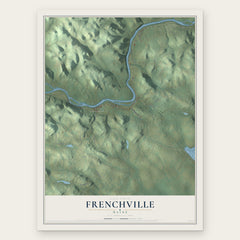
- Frenchville 12" x 18" / Archival Matte Print $39.99

More maps nearby: St. John, St. Agatha, Eagle Lake, Madawaska and St. Francis.
The art of mapping a place
How This Map Was Made
Real places. Remarkable detail. Discover the layers that turn geographic data into a map of home.

The view from above
Aerial imagery reveals the character of the land: woodland, open fields, and the patterns of a place.

The shape of the land
Elevation data brings hills, valleys, and subtle changes in the landscape into view.

The details of home
Roads, waterways, and building footprints come together to make the map feel unmistakably local.

Geography becomes art
Considered color, shading, and typography bring the layers together in a map made for your wall.


Process illustrated with Mendon, Massachusetts. Aerial imagery: USDA NAIP. Terrain: USGS 3D Elevation Program. Map details and finished artwork: KNOWOL.
The Details
About This Print
Choose an archival matte print, or a black or white Ayous wood frame. The archival matte print is unframed.
Select your size and finish above to see the matching product image and price.
Materials & Craftsmanship
A contemporary map with the character of a classic atlas, printed on archival matte paper. Optional frames are made from Ayous wood.
Your printed map does not include the watermark shown in the full-map preview.
Shipping & Delivery
Free shipping within the United States. Every print is made to order in the USA.
Buying a gift? Add a note in your cart and we'll include it. We never put prices in the package.
Prints ship within 2 to 3 business days. Allow 7 to 10 days total from ordering for delivery. Timing may vary during holidays or periods of high order volume.
Read our shipping policy.
Returns and damaged prints
Each print is made to order. Change-of-mind refunds are not available after production.
If your print arrives damaged, misprinted or incorrect, contact support@knowol.com within 30 days of receiving it. Include your order number, photos and a description of the issue.
Read our full refund and replacement policy. For questions about your order, email support@knowol.com.