
Search for another town
Free U.S. delivery 7 to 10 days after you order
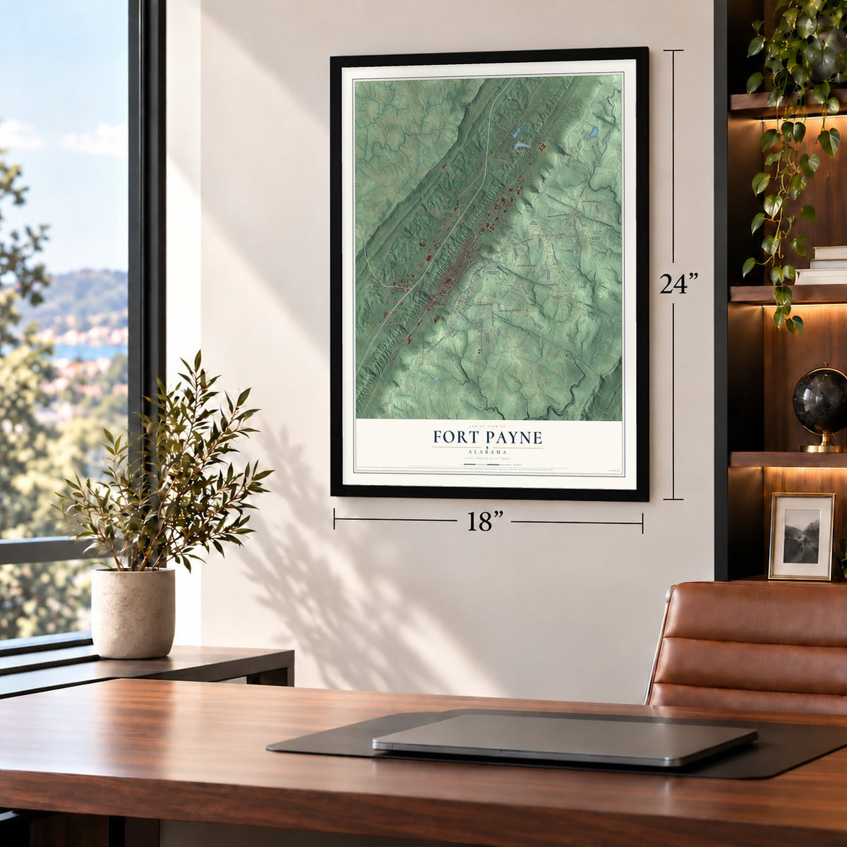
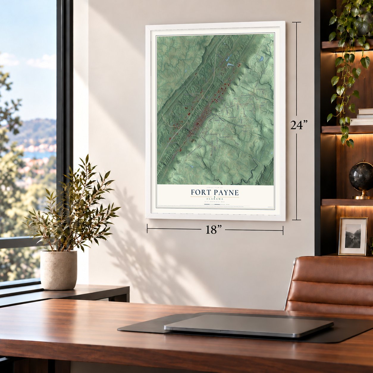
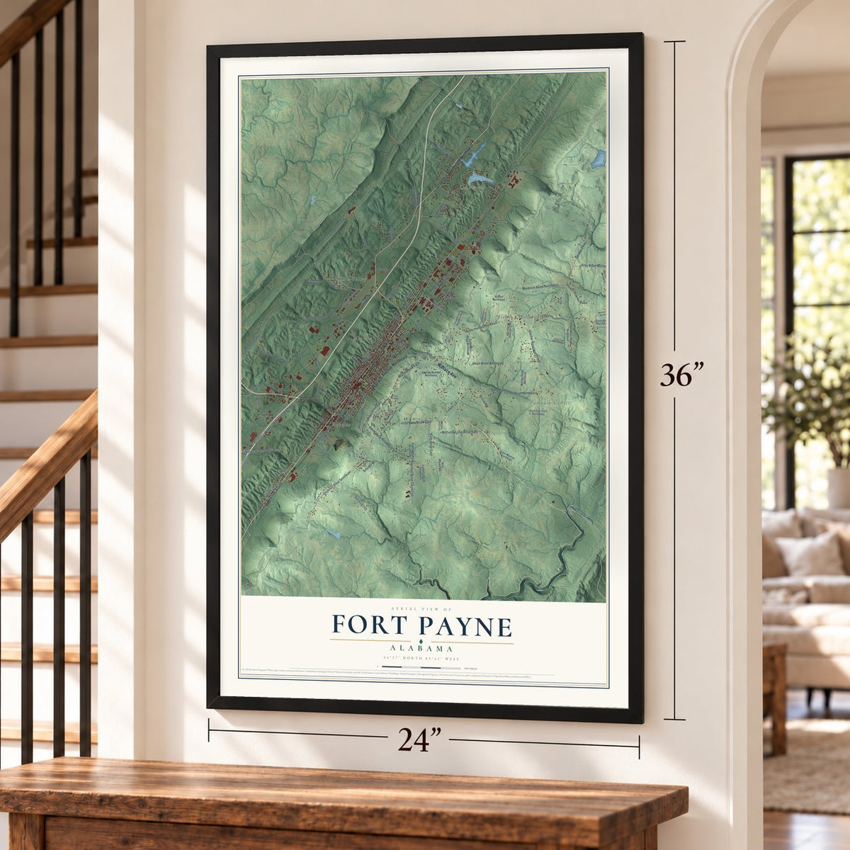
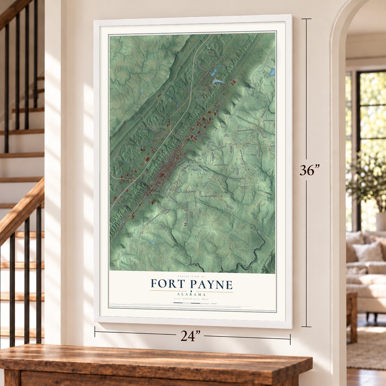
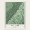
Fort Payne, Alabama Map Art
Building by building, with labeled streets and shaded relief.
12" x 18" Archival Matte Print
A Map of Home. A Work of Art.
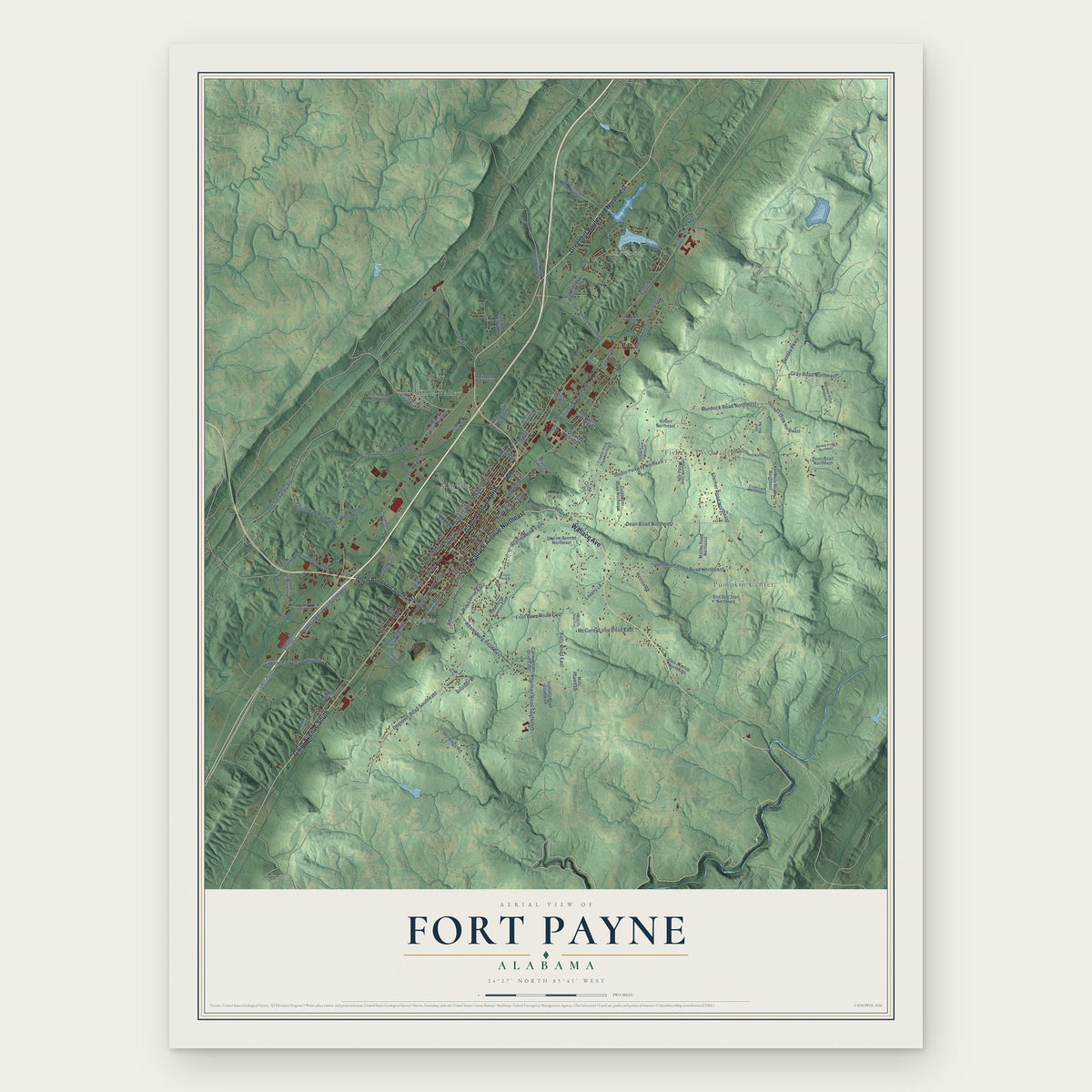
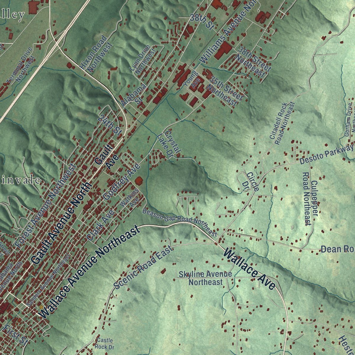
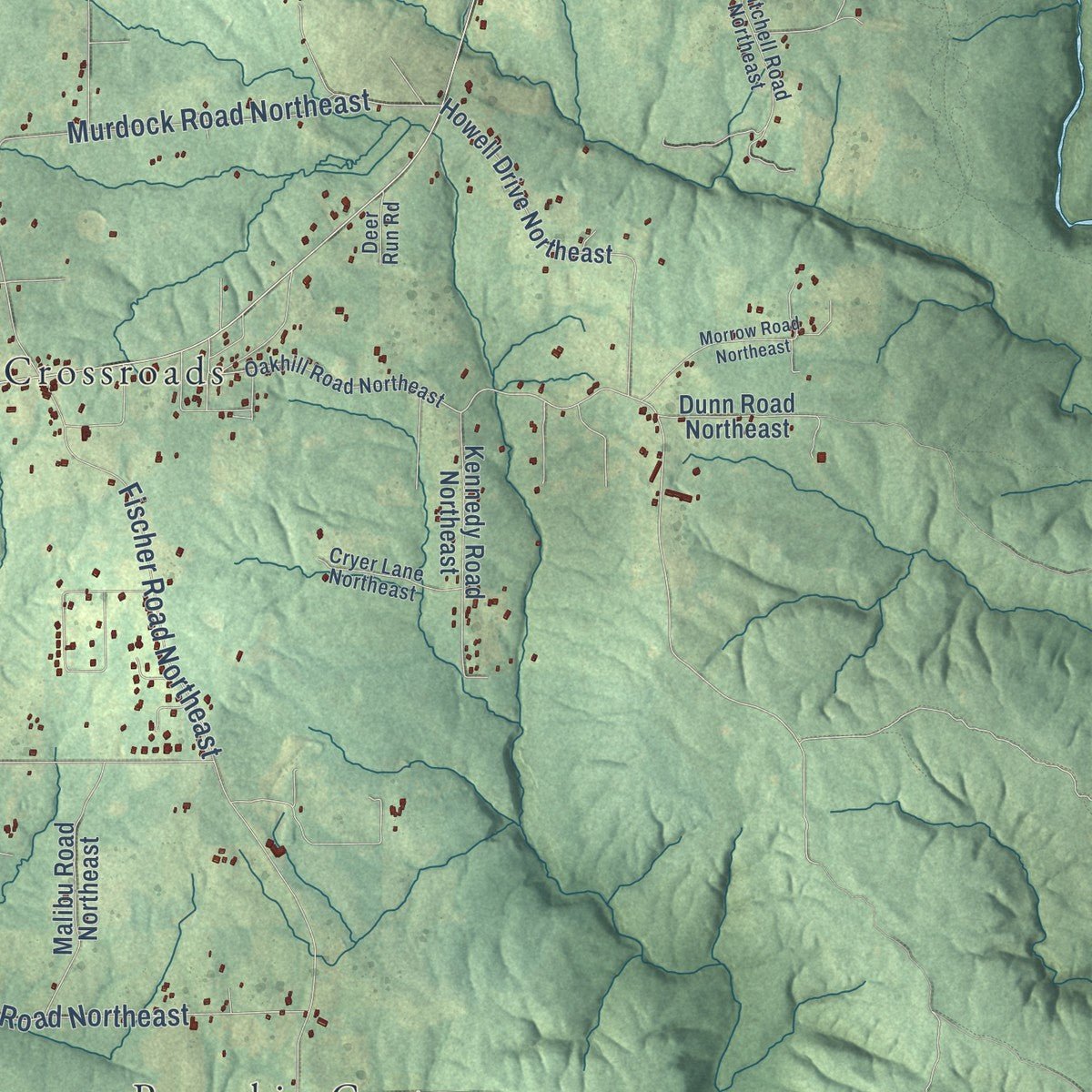
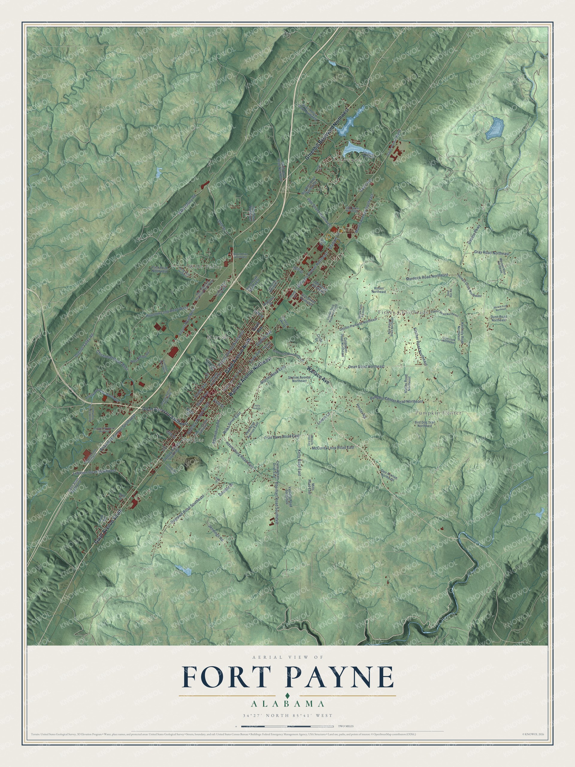
Explore Fort Payne, Alabama from a whole new perspective. Created using aerial imagery and detailed geographic data, this map captures Fort Payne building by building, with labeled streets, familiar landmarks, and shaded topographical relief that highlights the natural contours of the landscape.
Combining modern data with the timeless character of a vintage atlas, this map is just as interesting up close as it is beautiful on the wall. Whether you grew up in Fort Payne, spent memorable years there, or call it home today, this unique map is a great way to celebrate a place that means something to you. Zoom in on the preview to look for your street, and then order a print to put your memories on the wall.
Three ways to hang it
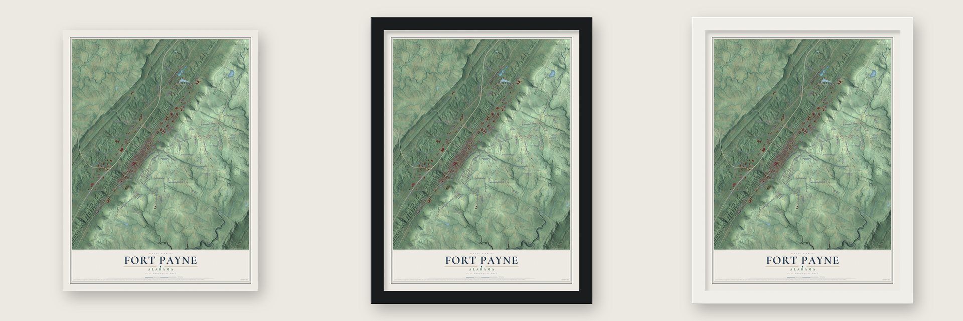
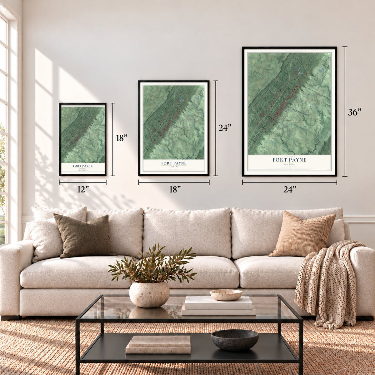
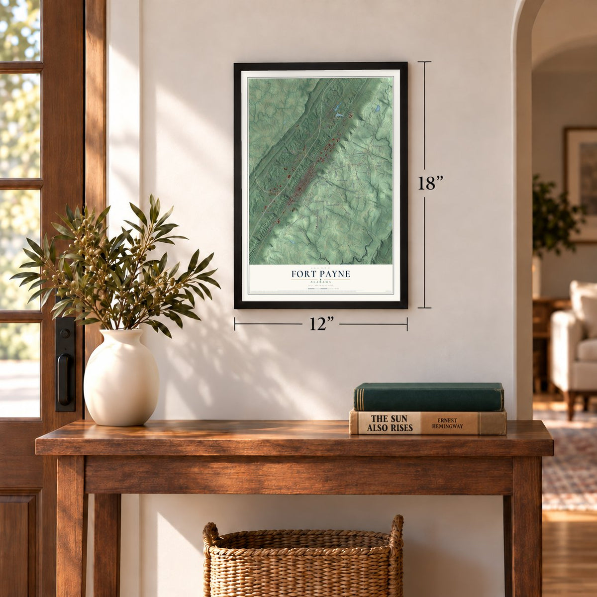
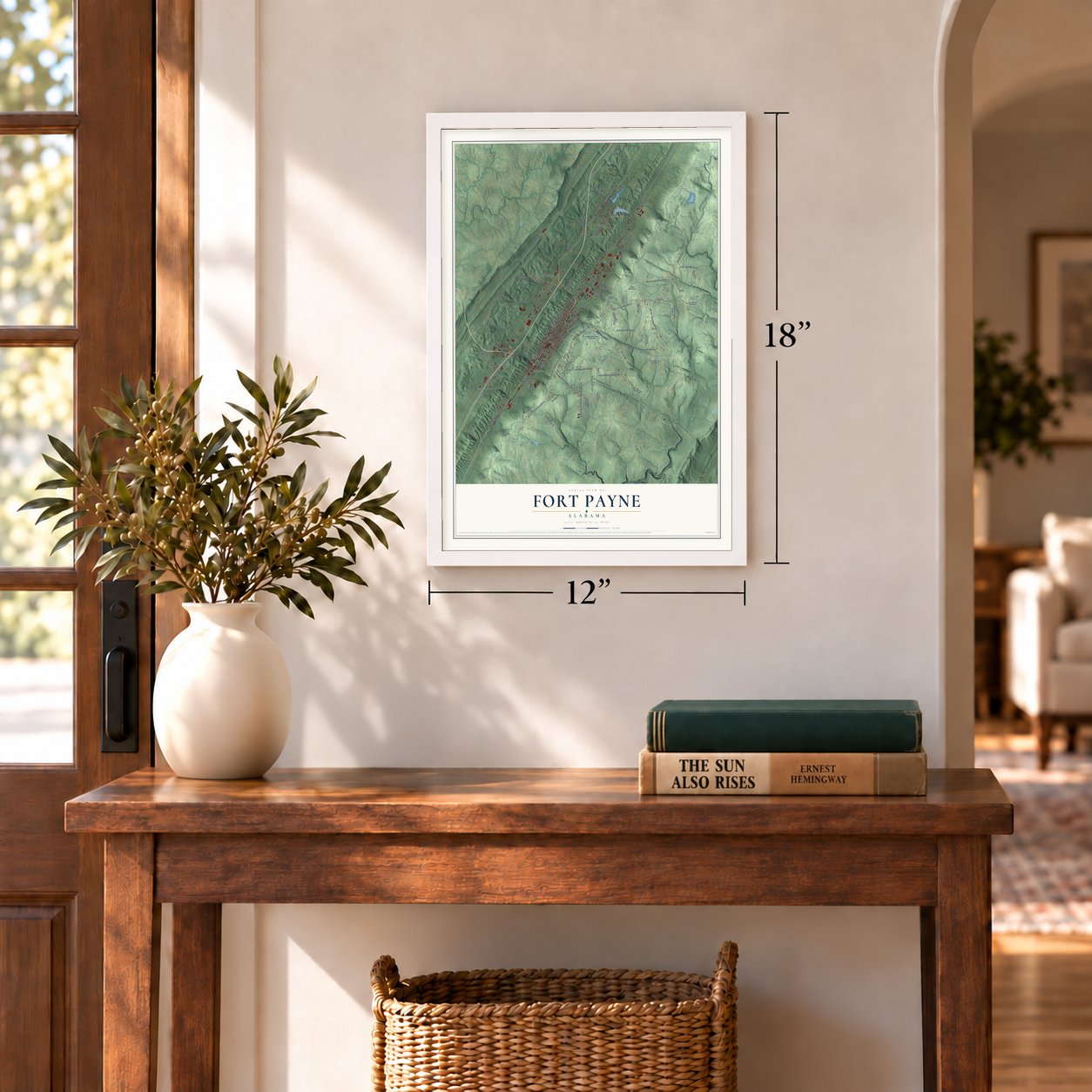
Unframed archival matte, a black wood frame or a white wood frame.
Up close
Geography Worth Displaying
This map was created using accurate cartographic data and authoritative geographic sources, including the U.S. Geological Survey and the Census Bureau. The map brings together terrain, waterways, roads, and building detail. The majority of the streets are labeled, houses are accurately depicted, and the topography is derived from government sources. Combining local data with carefully composed color and shading leads to this beautifully detailed Fort Payne artwork for your wall.
Rather than simply showing street outlines, we’ve included as many of the street names as we could reasonably fit on the map while keeping their names legible. Zoom in on the high resolution preview to see exactly what’s on the map. We truly set out to create a statement piece for anyone who loves Fort Payne. So whether it’s for you, or a gift for someone you love, we hope this map of Fort Payne brings back fond memories.
Read the story behind this map of Fort Payne, Alabama from 2026.
Find your street
Names on the Fort Payne map
Every name below is printed on this map. Look for your street, your school, the park where you played, or the pond down the road.
Places and landmarks6
- Lakewood
- Douglas
- Fisher Crossroads
- Minvale
- Pumpkin Center
- Wills Valley
Streets and roads115
- Wallace Avenue Northeast
- Wallace Avenue
- Greenhill Boulevard Northwest
- Gault Avenue South
- Gault Avenue North
- Adamsburg Road East
- Adamsburg Road
- Gault Avenue
- Scenic Road East
- Godfrey Avenue
- Godfrey Avenue South
- Grand Avenue
- Dogtown Road Southeast
- 15th Street
- Fruit Farm Road East
- Forest Avenue Northwest
- Eberhart Road Southeast
- Forest Avenue
- Lebanon Road Southwest
- Airport Road West
- Dean Road Northeast
- Houston Loop Road West
- Desoto Parkway
- Pumpkin Center Road Northeast
- Fischer Road Northeast
- Murdock Road Northeast
- Williams Avenue Northeast
- Martin Avenue Northeast
- Briarwood Avenue Southwest
- Jennings Road
Show all 115 streets
- 49th Street Northwest
- Sand Valley Road
- Chisenhall Road West
- Kelly Road East
- Dugout Valley Road
- McCurdy Loop Road East
- Clark Avenue
- Gray Road Northeast
- 35th Street
- Stadium Drive
- Boulder Drive
- Wilks Drive East
- First Street
- Hester Road
- Lovers Lane
- 38th Street
- 24th Street
- Glenn Boulevard Southwest
- Alabama Street
- Godfrey Avenue Southeast
- Desoto Parkway Northeast
- Howell Drive Northeast
- Hixon Road Northwest
- Big Wills Drive Northwest
- Prestwood Drive Southwest
- Quail Hollow Road Northwest
- Culpepper Road Northeast
- Bird Dog Trail Northeast
- Skyline Avenue Northeast
- Malibu Road Northeast
- Kennedy Road Northeast
- Gann Road Southwest
- 35th Street Northeast
- Peachtree Avenue East
- 38th Street Northeast
- West Horton Road
- Pack Road Northwest
- Roden Northeast
- Crystal Lake Drive
- Valhalla Road Southeast
- Smith Gap Road Northeast
- Dunn Road Northeast
- Cunningham Drive East
- Deir Avenue Northeast
- Tate Road Northwest
- Mills Road East
- Circle Drive
- 34th Street
- 45th Street
- Ninth Street
- Park Road
- Alabama Avenue North
- Lynn Drive Northwest
- Beck Industrial Boulevard Northwest
- Lincoln Avenue Southeast
- 20th Street
- Oakhill Road Northeast
- Citadell Rock Road Northeast
- Beason Gap Road Northeast
- Industrial Lane Southwest
- Mitchell Road Northeast
- Dewyer Avenue Southwest
- Watkins Avenue
- 55th Street Northeast
- New Oregon Drive Northeast
- Terminal Drive Northwest
- Cryer Lane Northeast
- Burt Hill Drive Southwest
- Harris Drive Northwest
- Deer Run Road
- Young Avenue
- 67th Street Northwest
- Industrial Boulevard Southwest
- Sanders Avenue Northeast
- 22nd Street Southeast
- Morrow Road Northeast
- Eighth Street Northwest
- Gorham Drive Northeast
- Spring Drive Northwest
- Castle Rock Drive
- Washington Street West
- McCurdy Drive East
- Putter Lane
- Page Street
- Elm Street
Names are listed as they appear on the printed map. Zoom into the product photos to find them.
About Fort Payne, Alabama
Fort Payne is a city of 14,877 people and the county seat of DeKalb County, set in Wills Valley between Sand Mountain and Lookout Mountain. This was Cherokee country, and the largest settlement in the valley was Willstown, named for its headman, William "Big Will" Weber. In 1838, on orders from General Winfield Scott, soldiers under Captain John C. Payne built a log house and stockade near Willstown. Cherokee who would not leave on their own were held there until the Army forced them west on the Trail of Tears. The soldiers' name for the post, Fort Payne, stayed with the town, and a chimney from the fort still stands downtown.
The valley stayed thinly settled through the Civil War, but a new railroad between Birmingham and Chattanooga brought settlers and Northern money. Voters chose Fort Payne as the county seat on May 5, 1878, taking the honor from Lebanon, and the town was incorporated on February 28, 1889. That year New England speculators founded the Fort Payne Coal and Iron Company, and their money built rolling mills, foundries, electric lights and the 125-room DeKalb Hotel. The deposits proved too small to pay, the investors pulled out, and after four years the boom collapsed. The town that had about 500 people in 1888 had 1,037 by 1900.
- The Opera House of 1890The Fort Payne Opera House opened in September 1890, at the height of the boom. It later showed silent movies and closed as a theater in October 1935. Landmarks of DeKalb County, Inc. bought the building in 1969, restored it and reopened it in 1970, the year it joined the National Register. It is the oldest theater in Alabama housed in a building put up as a theater.
- The Sock Capital of the WorldHosiery gave Fort Payne a steadier living than coal and iron. The Florence Knitting Company opened a hosiery mill here in October 1907, and the local industry grew into the largest in the world. By the 1990s area mills turned out more than 3 million pairs of socks a week and employed some 5,000 people. Lower tariffs on imported socks sent many mills overseas in the 2000s, but hosiery is still an important employer.
- Sequoyah's years in WillstownSequoyah, a silversmith who had created the Cherokee syllabary by 1821, made his home in Willstown for a time. Will Weber, the town's headman, had one Cherokee parent and one German parent. He was raised Cherokee and stood out for his striking red hair.
- A 128,238-pound birthday cakeTo mark its centennial in 1989, Fort Payne baked a cake weighing 128,238 pounds, and for a time the city held the world record for the largest cake ever baked.
- Home of the band AlabamaJeff Cook, Teddy Gentry and Randy Owen founded the Grammy Award-winning country band Alabama, one of the best-selling American acts of all time. The band is based in Fort Payne, and the city is home to its fan club and museum.
Keep exploring Alabama
Fort Payne is one of 675 Alabama towns we've mapped. Every dot on the map is a print of its own.
The search covers every state, Alabama first.
Near Fort Payne
Order 2 or more town maps and save 10%. Shown in the size and finish you picked above, so they hang as a set.
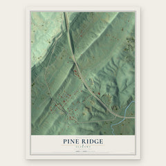
- Pine Ridge 12" x 18" / Archival Matte Print $39.99
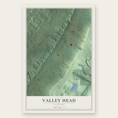
- Valley Head 12" x 18" / Archival Matte Print $39.99
- Hammondville 12" x 18" / Archival Matte Print $39.99

More maps nearby: Rainsville, Mentone, Sylvania, Shiloh and Broomtown.
The art of mapping a place
How This Map Was Made
Real places. Remarkable detail. Discover the layers that turn geographic data into a map of home.

The view from above
Aerial imagery reveals the character of the land: woodland, open fields, and the patterns of a place.

The shape of the land
Elevation data brings hills, valleys, and subtle changes in the landscape into view.

The details of home
Roads, waterways, and building footprints come together to make the map feel unmistakably local.

Geography becomes art
Considered color, shading, and typography bring the layers together in a map made for your wall.


Process illustrated with Mendon, Massachusetts. Aerial imagery: USDA NAIP. Terrain: USGS 3D Elevation Program. Map details and finished artwork: KNOWOL.
The Details
About This Print
Choose an archival matte print, or a black or white Ayous wood frame. The archival matte print is unframed.
Select your size and finish above to see the matching product image and price.
Materials & Craftsmanship
A contemporary map with the character of a classic atlas, printed on archival matte paper. Optional frames are made from Ayous wood.
Your printed map does not include the watermark shown in the full-map preview.
Shipping & Delivery
Free shipping within the United States. Every print is made to order in the USA.
Buying a gift? Add a note in your cart and we'll include it. We never put prices in the package.
Prints ship within 2 to 3 business days. Allow 7 to 10 days total from ordering for delivery. Timing may vary during holidays or periods of high order volume.
Read our shipping policy.
Returns and damaged prints
Each print is made to order. Change-of-mind refunds are not available after production.
If your print arrives damaged, misprinted or incorrect, contact support@knowol.com within 30 days of receiving it. Include your order number, photos and a description of the issue.
Read our full refund and replacement policy. For questions about your order, email support@knowol.com.