
Search for another town





Free U.S. delivery 7 to 10 days after you order
Frankfort, New York Map Art
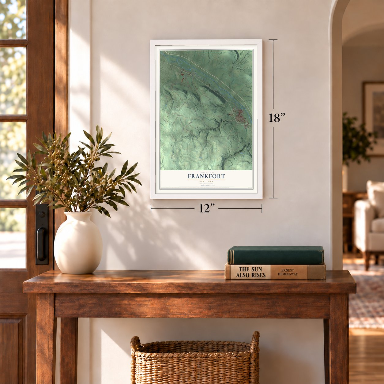
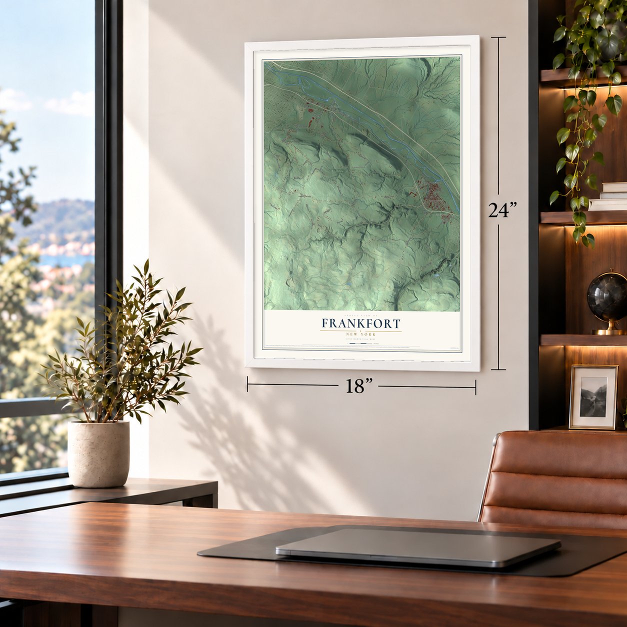
A new map of Frankfort, New York, made in 2026 and printed to order on thick archival matte paper.
12" x 18" Archival Matte Print
A Map of Home. A Work of Art.
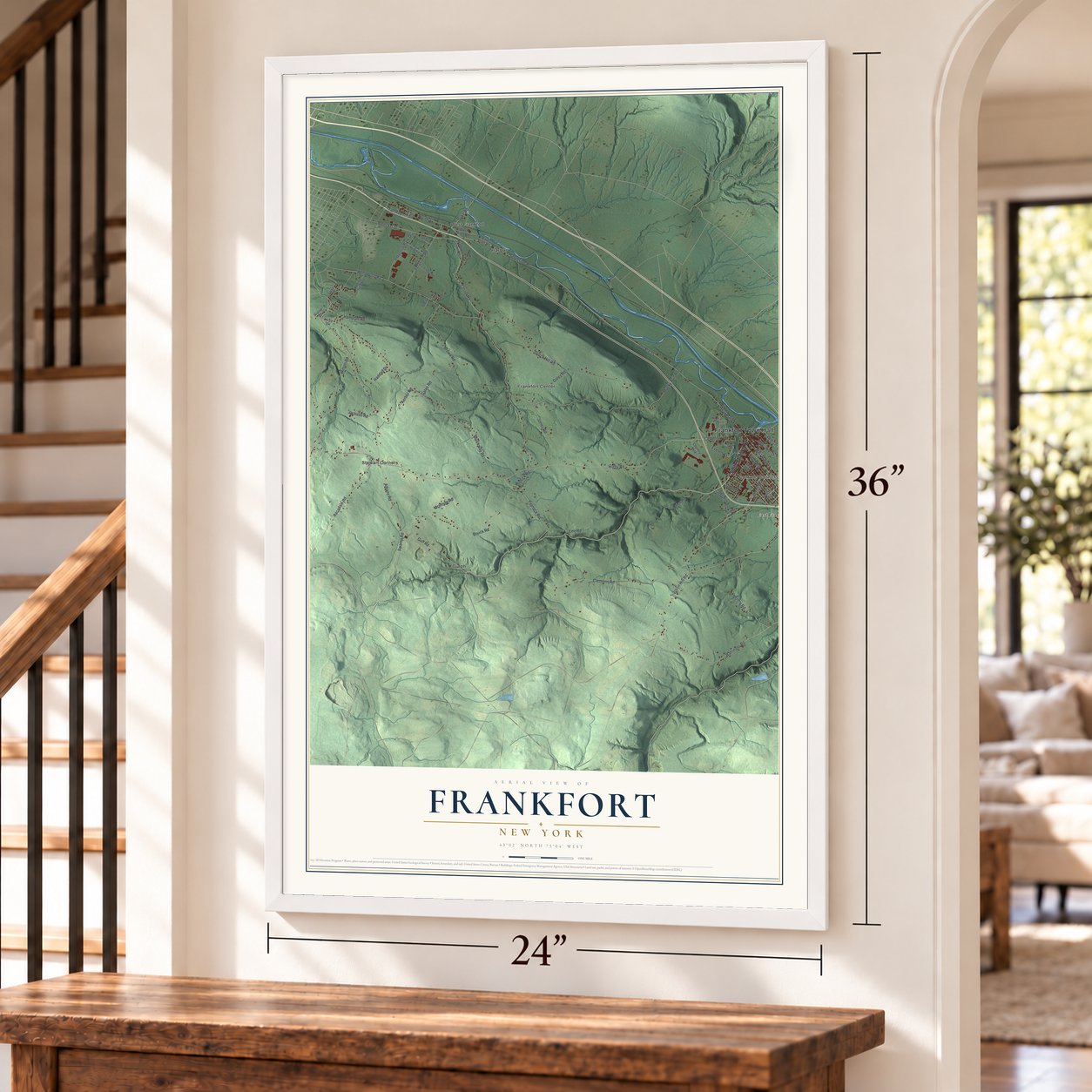
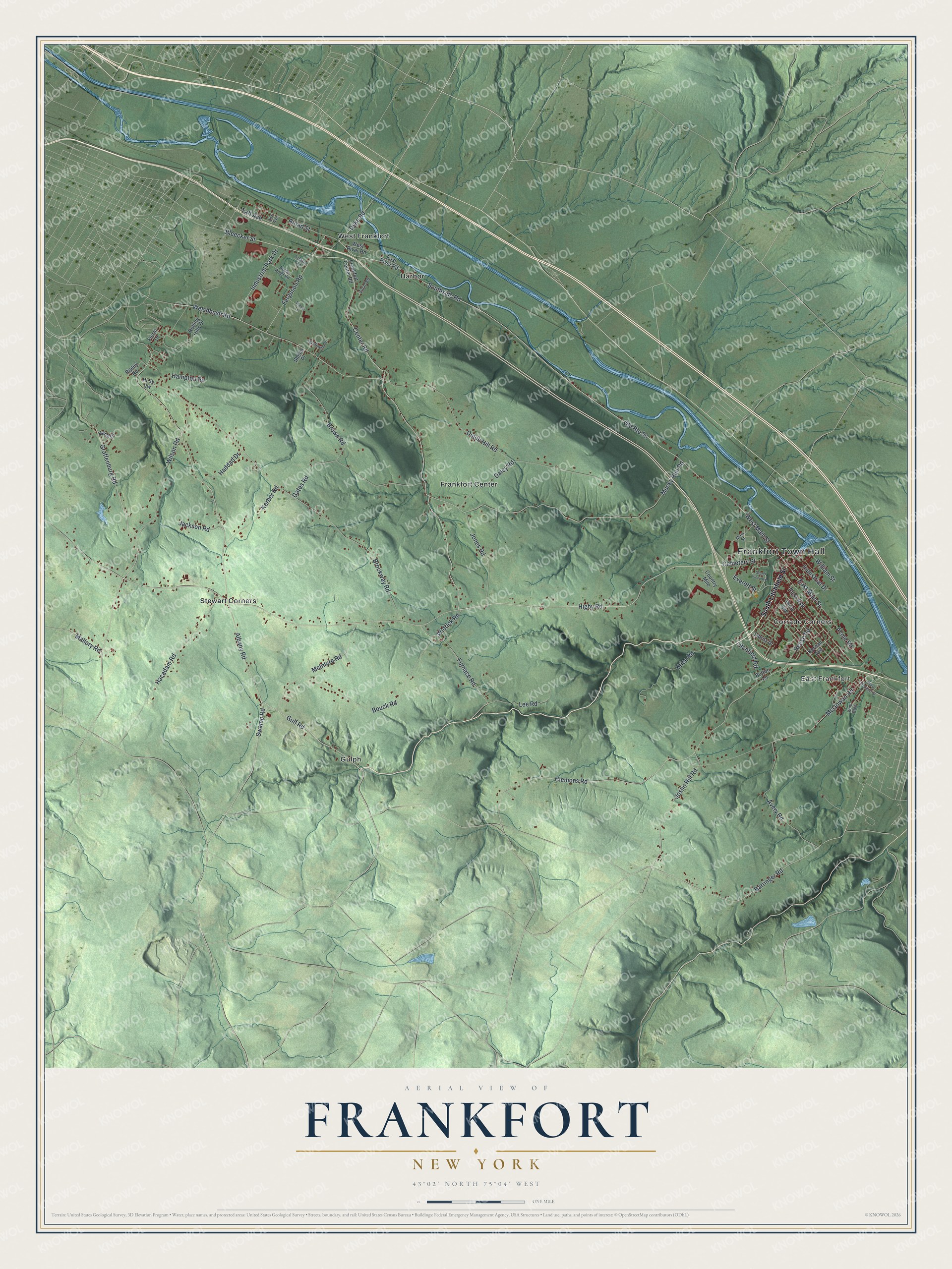
Explore Frankfort, New York from a whole new perspective. Created using aerial imagery and detailed geographic data, this map captures Frankfort building by building, with labeled streets, familiar landmarks, and shaded topographical relief that highlights the natural contours of the landscape.
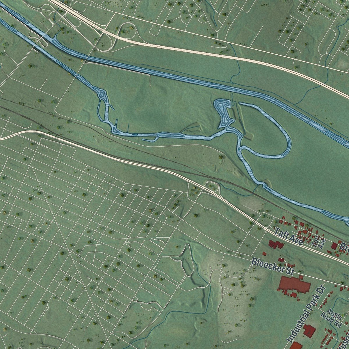
Combining modern data with the timeless character of a vintage atlas, this map is just as interesting up close as it is beautiful on the wall. Whether you grew up in Frankfort, spent memorable years there, or call it home today, this unique map is a great way to celebrate a place that means something to you. Zoom in on the preview to look for your street, and then order a print to put your memories on the wall.
Three ways to hang it
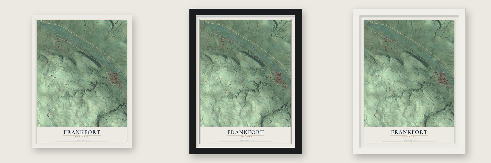
Unframed archival matte, a black wood frame or a white wood frame.
Up close
Geography Worth Displaying
This map was created using accurate cartographic data and authoritative geographic sources, including the U.S. Geological Survey (USGS) and FEMA. The map brings together terrain, waterways, roads, and building detail. The majority of the streets are labeled, houses are accurately depicted, and the topography is derived from government sources. Combining local data with carefully composed color and shading leads to this beautifully detailed Frankfort artwork for your wall.
Rather than simply showing street outlines, we’ve included as many of the street names as we could reasonably fit on the map while keeping their names legible. Zoom in on the high resolution preview to see exactly what’s on the map. We truly set out to create a statement piece for anyone who loves Frankfort. So whether it’s for you, or a gift for someone you love, we hope this map of Frankfort brings back fond memories.
Explore the full map of Frankfort, New York and read about the local places it shows.

About Frankfort, New York
Frankfort is a town of 7,011 people in Herkimer County, just east of Utica, with the Mohawk River along its northern border and the Erie Canal running beside it. The first Europeans here were German Palatines, religious refugees who reached the colony in 1723. During the French and Indian War, French troops and their Indian allies struck the area hard, and most of the settlers fled.
Settlers came back before 1794, when land patents were granted. After the Revolutionary War the town was carved out of German Flatts and named for Lawrence (Lewis) Frank, one of its earliest settlers. In 1798 Frankfort gave up its northwest corner, which went to help form the new town of Deerfield.
- Home of the county fairThe Herkimer County Fair got its start in 1841, when it was known as the Herkimer County Agricultural Society. For years it traveled from village to village. In the 1900s it was held on land that later became the Herkimer Thruway interchange, and a fire there burned its racetrack and grandstand. In 1950 the fair came to Frankfort, and it has been held here every year since.
- A permanent home in 1958In 1958 the fair bought the Slocum Farm on Cemetery Hill so it could stay for good. Today the six-day fair spreads over 26 acres and has 10 permanent buildings.
- The Balloon FarmCarl Edgar Myers ran a balloon business in Frankfort, known as the Balloon Farm, together with Carlotta, who flew as the Lady Aeronaut. Their Balloon Farm joined the National Register of Historic Places in 1998.
- Four Mile Grocery and Howards BushSeveral of the town's hamlets started out with other names. West Frankfort, in the northwest corner on NY-5S, was first called Four Mile Grocery. Frankfort Center, west of the village, was once Howards Bush, and East Frankfort, on the line with the village of Ilion, was once McGowansville.
- After Sperry UnivacIn 1976 part of the old Sperry Univac property was reopened as the Charlestown Outlet Complex. Charlestown Mall later ran on the western part of the site until 1991. After that the whole property was turned into the Charlestown Business Complex.
Find your street
Names on the Frankfort map
Every name below is printed on this map. Look for your street, your school, the park where you played, or the pond down the road.
Places and landmarks8
- Frankfort Town Hall
- East Frankfort
- Corrado Corners
- Frankfort Center
- Gulph
- Harbor
- Stewart Corners
- West Frankfort
Streets and roads74
- Southside Road
- West Main Street
- Dyke Road
- East Main Street
- Gulf Road
- Center Road
- Bleecker Street
- Higby Road
- Swamp Road
- Graffenburg Road
- Albany Road
- Brockway Road
- Clemons Road
- First Avenue
- Acme Road
- Broad Street
- Welshbush Road
- Industrial Park Drive
- Barringer Road
- Taft Avenue
- Mucky Run Road
- Dutch Hill Road
- Joslin Hill Road
- McGowan Road
- Bouck Road
- Gates Road
- Reese Road
- Wilson Road
- Hacadam Road
- McIntyre Road
Show all 74 streets
- Brown Road
- Avery Road
- Brice Road
- Furnace Road
- Ferguson Road
- Jones Road
- Kerber Road
- Lee Road
- Daley Road
- Cemetery Street
- Widrick Road
- Haddad Drive
- Hampton Road
- Litchfield Road
- Jackson Road
- Everett Street
- Industrial Drive
- Mallory Road
- William Street
- South Litchfield Street
- Kernan Avenue
- Rolling Hills Drive
- Frankfort Center Road
- Third Avenue
- East River Road
- Country Mile
- West River Road
- Ripley Road
- Hi Sy Vw
- Libritz Drive
- Harts Drive
- Floral Drive
- Button Lane
- Sheila Place
- Kent Boulevard
- Mary Street
- Argile Road Road
- Zolad Road
- Hardiman Place
- Towne Road
- Zorr Avenue
- Grand View Avenue
- School Lane
- West Prospect Street
Names are listed as they appear on the printed map. Zoom into the product photos to find them.
The art of mapping a place
How This Map Was Made
Real places. Remarkable detail. Discover the layers that turn geographic data into a map of home.

The view from above
Aerial imagery reveals the character of the land: woodland, open fields, and the patterns of a place.

The shape of the land
Elevation data brings hills, valleys, and subtle changes in the landscape into view.

The details of home
Roads, waterways, and building footprints come together to make the map feel unmistakably local.

Geography becomes art
Considered color, shading, and typography bring the layers together in a map made for your wall.


Process illustrated with Mendon, Massachusetts. Aerial imagery: USDA NAIP. Terrain: USGS 3D Elevation Program. Map details and finished artwork: KNOWOL.
The Details
About This Print
Choose an archival matte print, or a black or white Ayous wood frame. The archival matte print is unframed.
Select your size and finish above to see the matching product image and price.
Materials & Craftsmanship
A contemporary map with the character of a classic atlas, printed on archival matte paper. Optional frames are made from Ayous wood.
Your printed map does not include the watermark shown in the full-map preview.
Shipping & Delivery
Free shipping within the United States. Every print is made to order in the USA.
Buying a gift? Add a note in your cart and we'll include it. We never put prices in the package.
Prints ship within 2 to 3 business days. Allow 7 to 10 days total from ordering for delivery. Timing may vary during holidays or periods of high order volume.
Read our shipping policy.
Returns and damaged prints
Each print is made to order. Change-of-mind refunds are not available after production.
If your print arrives damaged, misprinted or incorrect, contact support@knowol.com within 30 days of receiving it. Include your order number, photos and a description of the issue.
Read our full refund and replacement policy. For questions about your order, email support@knowol.com.
Find your town
Looking for another city?
Find a map of home in our New York collection, or any town in the country.
Nearby
Maps of towns near Frankfort
Know someone from one of these towns? Their map makes a great gift.
 East Frankfort
, New York
From $39.99See the map
 Litchfield
, New York
From $39.99See the map
 South Ilion
, New York
From $39.99See the map
More maps nearby: Ilion, Schuyler, Utica, Chadwicks and Town of Herkimer.