
Search for another town
Free U.S. delivery 7 to 10 days after you order
Franklin Park, Pennsylvania Map Art
Building by building, with labeled streets and shaded relief.
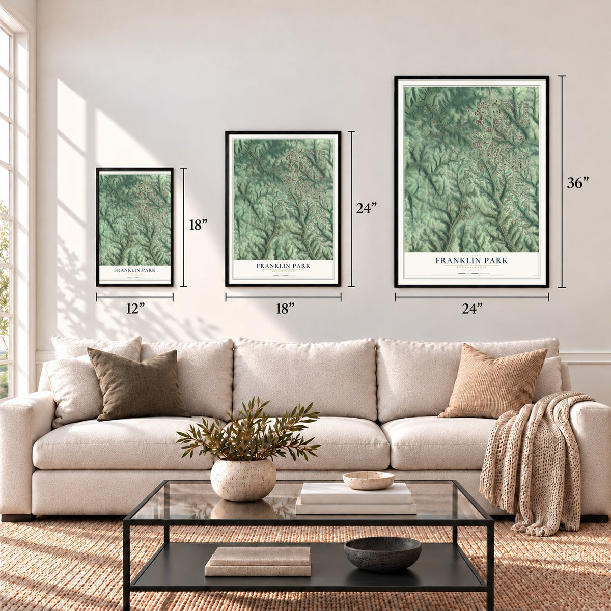
12" x 18" Archival Matte Print
A Map of Home. A Work of Art.
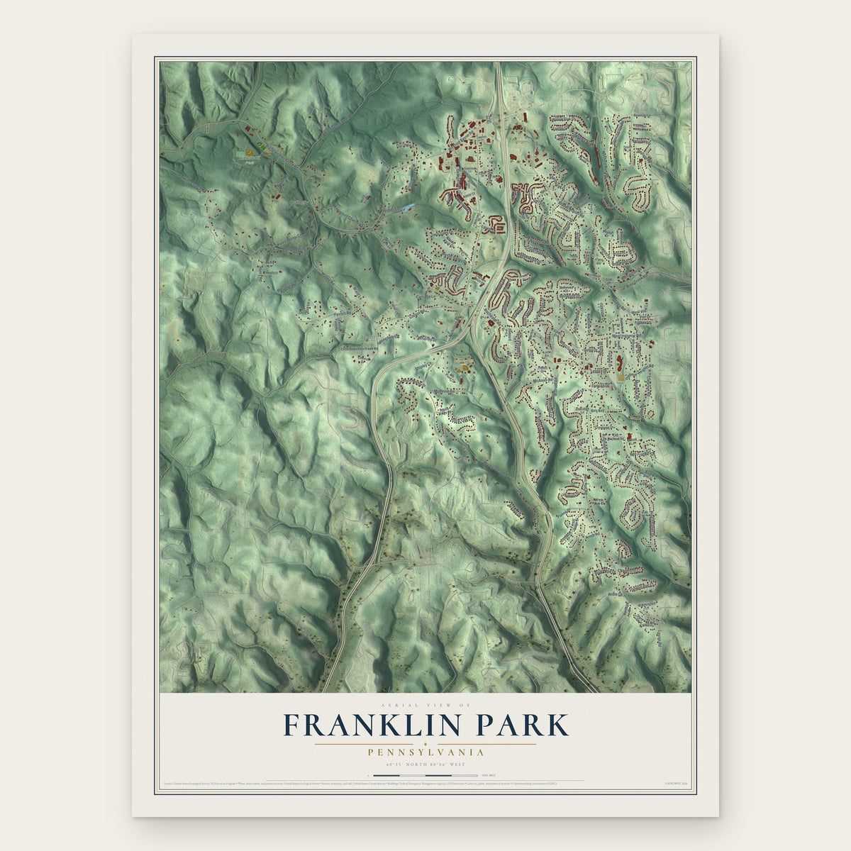
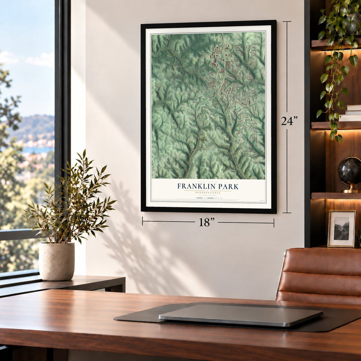
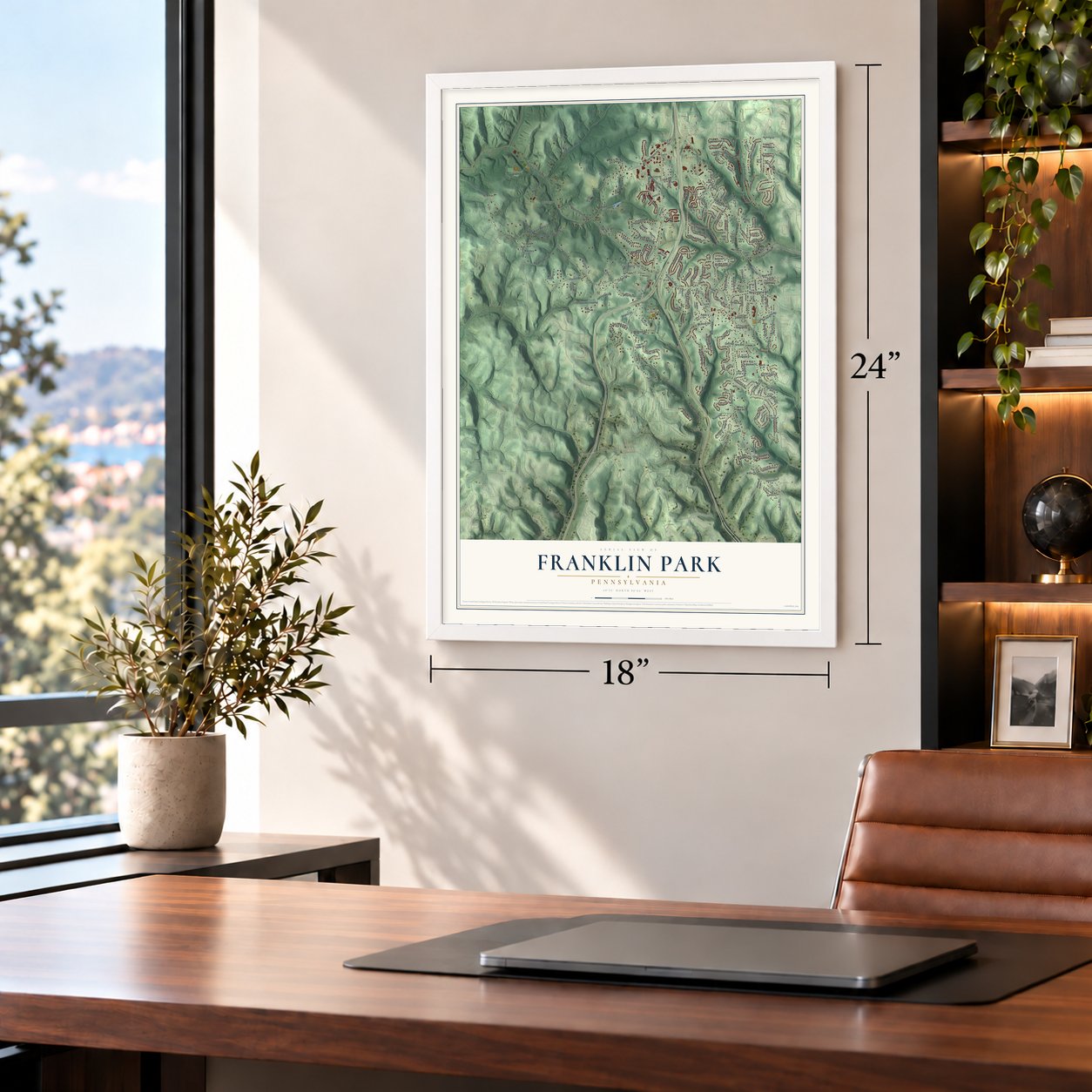
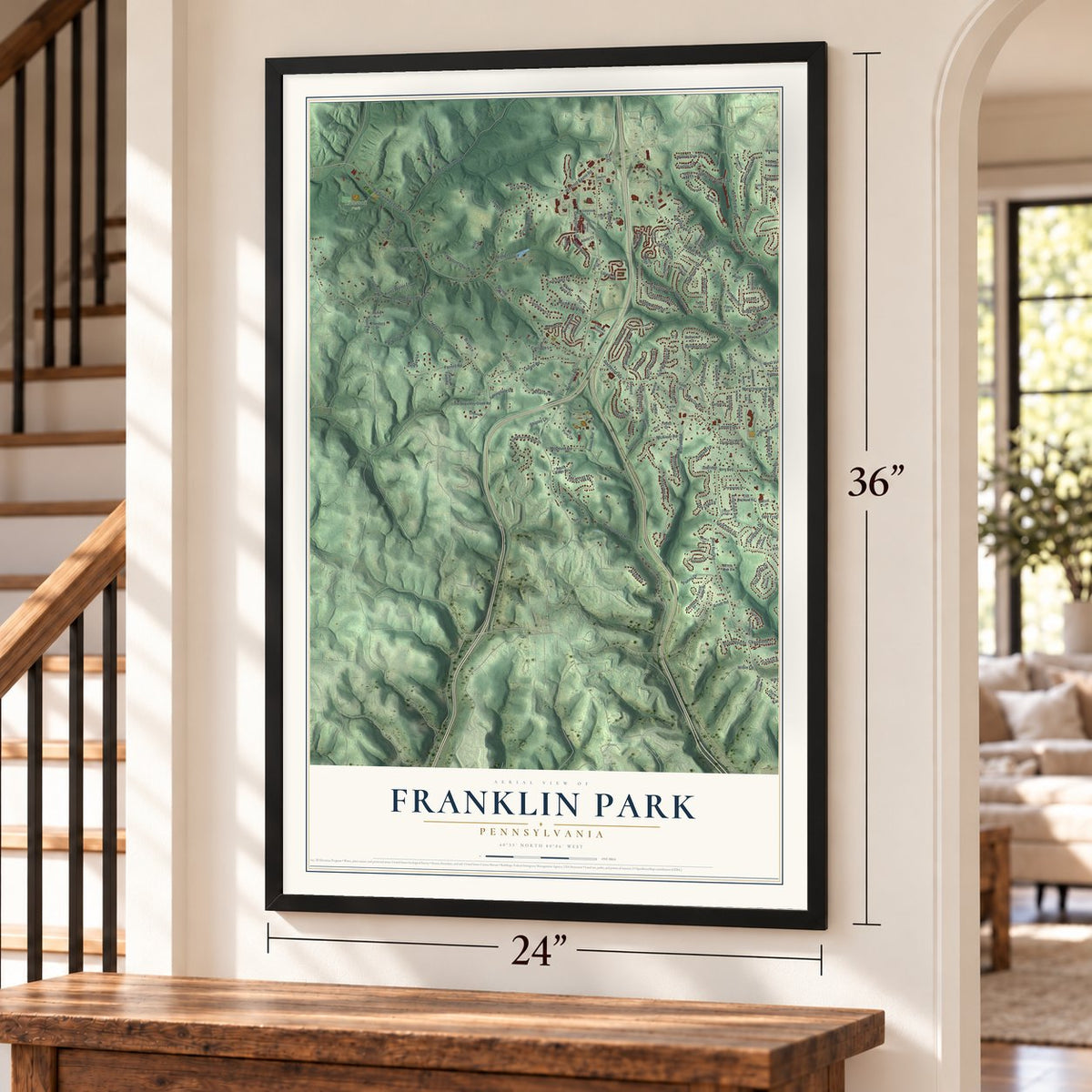
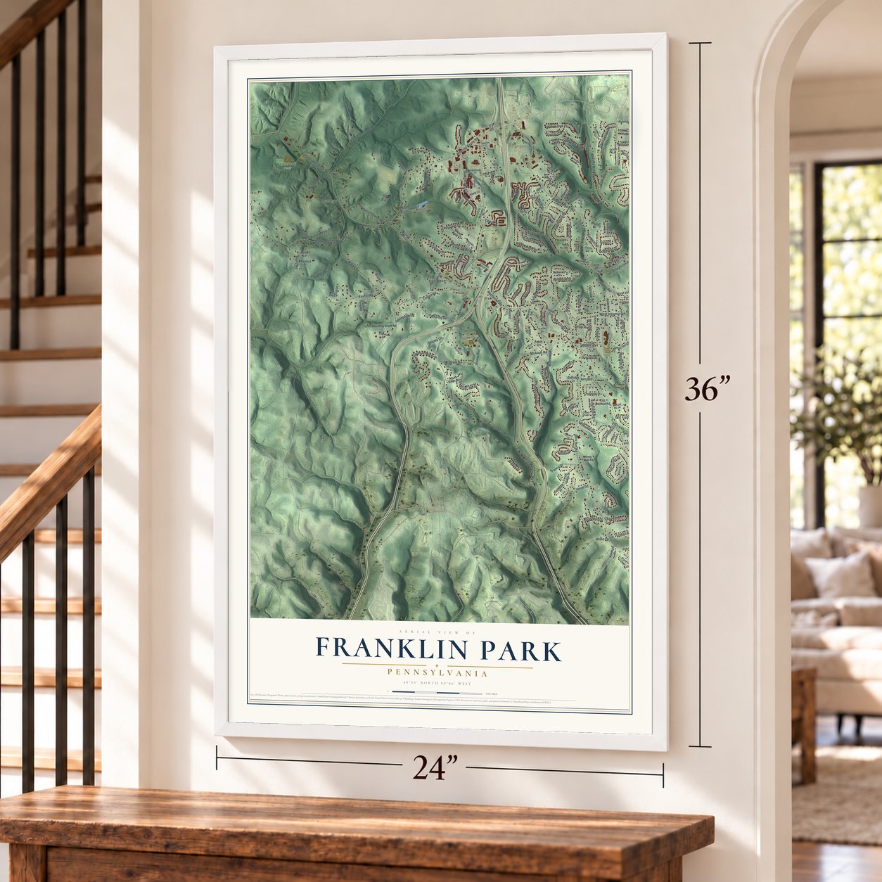
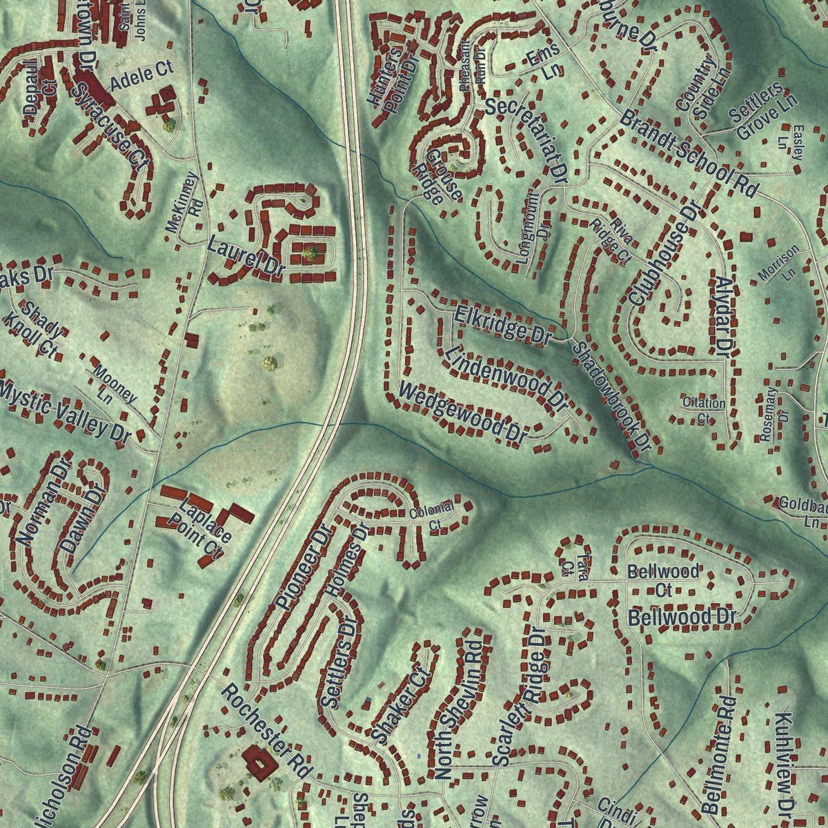
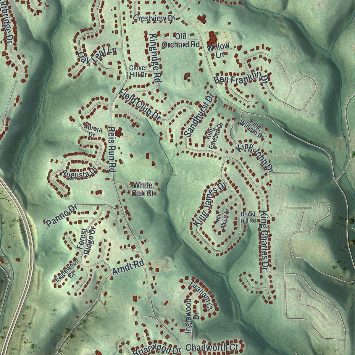
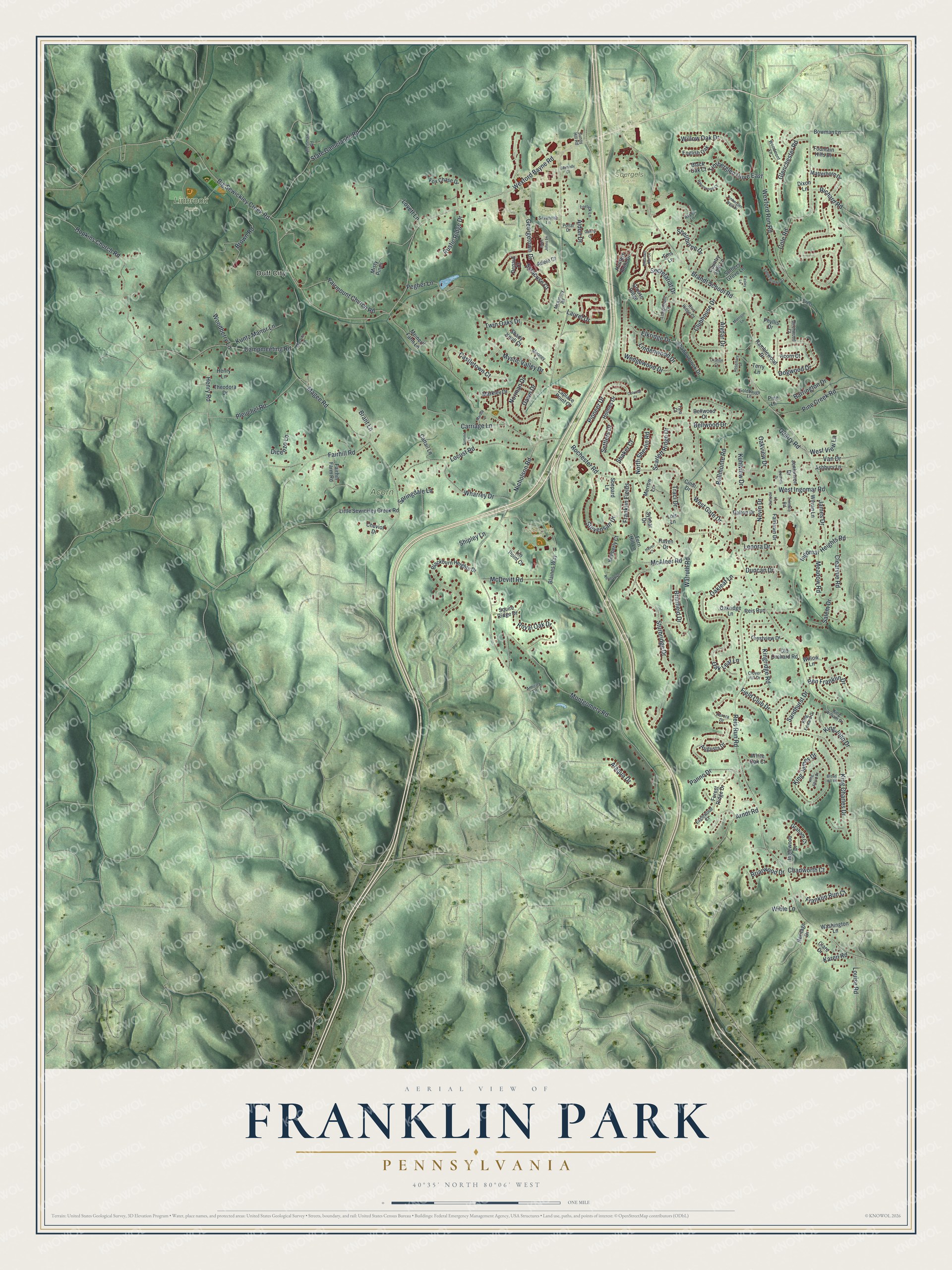
Explore Franklin Park, Pennsylvania from a whole new perspective. Created using aerial imagery and detailed geographic data, this map captures Franklin Park building by building, with labeled streets, familiar landmarks, and shaded topographical relief that highlights the natural contours of the landscape.
Combining modern data with the timeless character of a vintage atlas, this map is just as interesting up close as it is beautiful on the wall. Whether you grew up in Franklin Park, spent memorable years there, or call it home today, this unique map is a great way to celebrate a place that means something to you. Zoom in on the preview to look for your street, and then order a print to put your memories on the wall.
Three ways to hang it
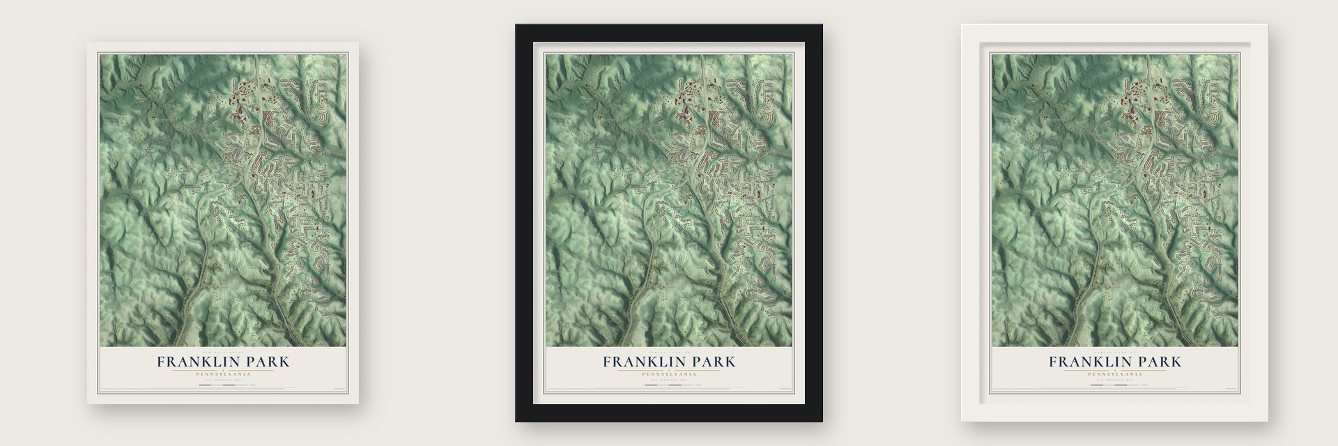
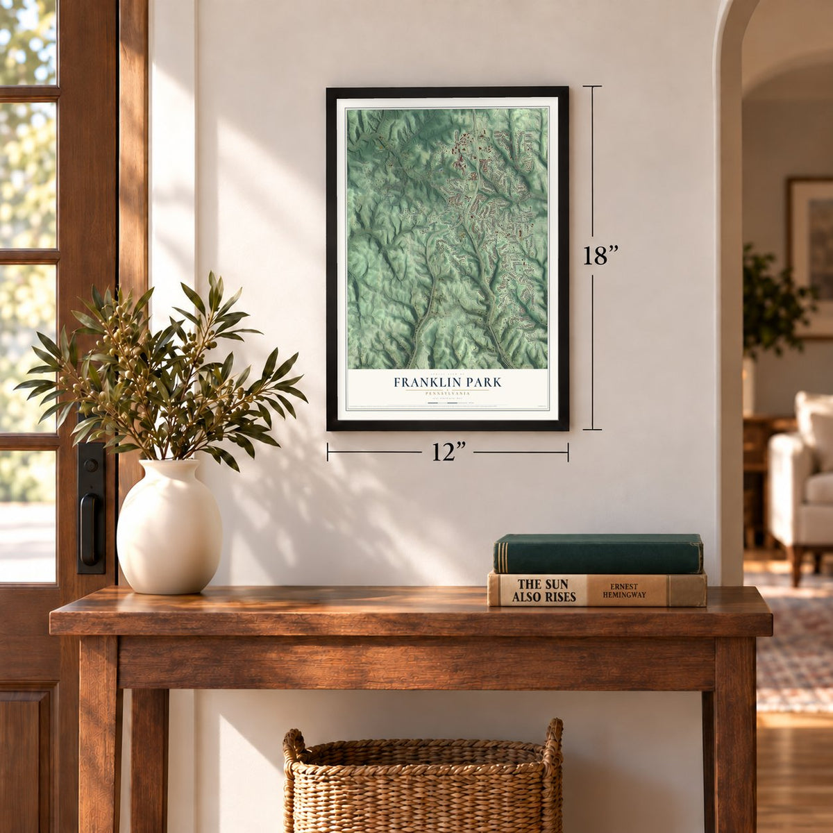
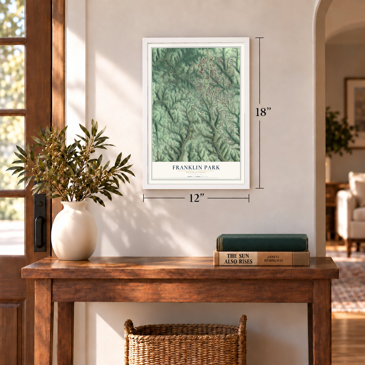
Unframed archival matte, a black wood frame or a white wood frame.
Up close
Geography Worth Displaying
This map was created using accurate cartographic data and authoritative geographic sources, including the U.S. Geological Survey and the Census Bureau. The map brings together terrain, waterways, roads, and building detail. The majority of the streets are labeled, houses are accurately depicted, and the topography is derived from government sources. Combining local data with carefully composed color and shading leads to this beautifully detailed Franklin Park artwork for your wall.
Rather than simply showing street outlines, we’ve included as many of the street names as we could reasonably fit on the map while keeping their names legible. Zoom in on the high resolution preview to see exactly what’s on the map. We truly set out to create a statement piece for anyone who loves Franklin Park. So whether it’s for you, or a gift for someone you love, we hope this map of Franklin Park brings back fond memories.
Read the story behind this map of Franklin Park, Pennsylvania from 2026.

Find your street
Names on the Franklin Park map
Every name below is printed on this map. Look for your street, your school, the park where you played, or the pond down the road.
Places and landmarks5
- Duff City
- Acorn Park
- Blueberry Hill Park
- Linbrook Park
- Soergels Farm
Streets and roads208
- Rochester Road
- Brandt School Road
- Wexford Bayne Road
- Georgetown Drive
- Big Sewickley Creek Road
- Briarwood Drive
- Oakleaf Lane
- Nicholson Road
- Reis Run Road
- McAleer Road
- Magee Road
- Wexford Run Road
- Campmeeting Road
- Bellwood Drive
- Sturbridge Drive
- Montgomery Road
- Hopkins Church Road
- Cole Road
- Locust Road
- Timberglen Drive East
- King James Drive
- King Charles Drive
- West Ingomar Road
- McDevitt Road
- Ingomar Heights Road
- State Gamelands Road
- Wedgewood Drive
- Dogwood Drive
- Pioneer Drive
- Royal Oak Drive
Show all 208 streets
- Willow Oak Drive
- Alydar Drive
- Lovett Lane
- Mystic Valley Drive
- Carriage Lane
- Fairmount Church Road
- Stevensan Drive
- Elkridge Drive
- Wharrey Drive
- Fairhill Road
- Clubhouse Drive
- Castletown Court
- Glenchester Road
- Pleuchel Road
- Lenora Drive
- Walruth Road
- Brown Road
- Pine Creek Road
- Norman Drive
- Settlers Drive
- Arndt Road
- Scarlett Ridge Drive
- Secretariat Drive
- Oak Leaf Lane
- Clearvue Road
- Laurel Drive
- Field Club Drive
- Twin Oaks Drive
- Traci Drive
- Pegher Lane
- Kingridge Road
- Aldon Drive
- West Gate Drive
- Panno Drive
- Brimfield Drive
- Oakview Drive
- Lindenwood Drive
- Shellburne Drive
- King John Drive
- Franklin Run Court
- James Drive
- Rustic Ridge Drive
- Meadow Road
- Syracuse Court
- Henry Road
- Ben Franklin Drive
- Kuhlview Drive
- Barrington Drive
- Franklin Fields
- North Shevlin Road
- Quarry Road
- Sandhurst Drive
- Bellmonte Road
- Kuntz Manor Lane
- Dawn Drive
- Woodberry Lane
- Nevin Drive
- Springdale Lane
- Duncan Drive
- Chadworth Court
- Salem Drive
- Richard Road
- West View Lane
- Louise Road
- Shipley Lane
- Brant Lane
- Alaqua Drive
- Shaker Court
- Wible Lane
- Van Drive
- Dicenzo Lane
- Karen Road
- Augusta Drive
- Matterhorn Drive
- Blackburn Heights Drive
- Blaines Way
- Hunters Point Drive
- Country Side Lane
- Crestview Drive
- Little Sewickley Creek Road
- Holmes Drive
- Fairhill Farm Road
- Fox Chase Drive
- Forest Ridge Drive
- Grouse Ridge
- Lin Point Court
- Inglewood Drive
- Shadowbrook Drive
- English Oak
- Wilvan Lane
- Ramblewood Drive
- Fern Hill Lane
- Oakridge Lane
- Cattail Lane
- Markley Drive
- Phyllis Drive
- Old Orchard Road
- Fairlawn Drive
- Fountain Hills Drive
- Bowman Lane
- Kimberly Court
- Theodora Drive
- Settlers Grove Lane
- Shepard Lane
- Haven Drive
- Laplace Point Court
- Jenkinson Drive
- Washington Lane
- Ashbury Lane
- White Oak Court
- Shady Knoll Court
- Graham Court
- Dalton Drive
- Squire Ridge Drive
- Morrow Lane
- Sylmar Drive
- Henry Lane
- Meinert Farm Lane
- Adele Court
- Black Oak Court
- Heritage Drive
- Misty Pines
- Acorn Court
- Depaul Court
- Bellwood Court
- Cheviot Drive
- Reis Run
- Willow Lane
- Cindi Drive
- Dixon Lane
- Clare Drive
- Pine Lane
- Terry Lane
- Ems Lane
- Lois Lane
- Riva Ridge Court
- King William Drive
- Longmount Drive
- Mooney Lane
- Woodmont Lane
- McKinney Road
- Weinman Road
- Aurora Drive
- Lorrick Lane
- Martins Lane
- Trimble Road
- Goldbaugh Lane
- Savannah Lane
- King Edward Drive
- Eaglewood Court
- Birchwood Court
- Amicita Lane
- Clover Hill Drive
- Pollar Drive
- Aspen Lane
- Sunny Hill Road
- Crest Lane
- Tara Court
- Pheasant Run Drive
- Bonnett Drive
- Valley Brooke Court
- Rosemary Drive
- Timberglen West Drive
- Ravenwood Court
- King Albert Drive
- Neuhart Lane
- Gantry Court
- Summit Lane
- Morrison Lane
- Easley Lane
- Carmody Court
- Broad Hill Road
- Daffodil Lane
- Marble Lane
- Saint Johns Lane
- Haven Court
- Colonial Court
- Citation Court
Names are listed as they appear on the printed map. Zoom into the product photos to find them.
About Franklin Park, Pennsylvania
Franklin Park is a borough of 15,479 people in Allegheny County, in the suburbs of Pittsburgh. Its land was once part of the Depreciation Lands of western Pennsylvania. In 1823 residents asked to break away from Ohio Township, and that August a new township, called Franklin, was formed.
For most of its life, Franklin had no town of its own, only farms, schools, churches and country stores spread across the hills. In the late 1800s and early 1900s, oil and gas brought a busy industry to the township. New housing tracts went up after World War II, and in August 1961 the township was incorporated as the Borough of Franklin Park.
“Throughout most of its history, Franklin was a rural community without a village, town or business district. Scattered among family farms were one-room schools, churches and a sprinkling of country stores and blacksmith shops.”
- One township, three townsThe Franklin Township of 1823 took in the land of today's Franklin Park, Bradford Woods and Marshall Township. Marshall became a township of its own forty years later, and Bradford Woods broke away from Marshall in 1915.
- A student on the councilFranklin Park elects a mayor and a six-member council, two members from each of its three wards. Each year the council also names a high school student from the area as its Junior Councilperson.
- Parks and game landsResidents head outdoors to Fifer's Fields Conservation Area, Linbrook Park, Acorn Park, Blueberry Hill Park and Pennsylvania State Game Lands Number 203.
- North Allegheny schoolsChildren from Franklin Park go to North Allegheny schools, among them North Allegheny Senior High School, alongside students from McCandless, Marshall Township and Bradford Woods. The borough also shares the Northland Public Library with its neighbors.
Keep exploring Pennsylvania
Franklin Park is one of 3,725 Pennsylvania towns we've mapped. Every dot on the map is a print of its own.
The search covers every state, Pennsylvania first.
Near Franklin Park
Order 2 or more town maps and save 10%. Shown in the size and finish you picked above, so they hang as a set.
- Ingomar 12" x 18" / Archival Matte Print $39.99
- Sewickley Hills 12" x 18" / Archival Matte Print $39.99
- Wexford 12" x 18" / Archival Matte Print $39.99
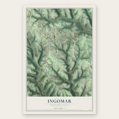
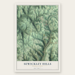
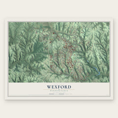
More maps nearby: McKnight, Bradford Woods, Ohio, Sewickley Heights and Marshall.
The art of mapping a place
How This Map Was Made
Real places. Remarkable detail. Discover the layers that turn geographic data into a map of home.

The view from above
Aerial imagery reveals the character of the land: woodland, open fields, and the patterns of a place.

The shape of the land
Elevation data brings hills, valleys, and subtle changes in the landscape into view.

The details of home
Roads, waterways, and building footprints come together to make the map feel unmistakably local.

Geography becomes art
Considered color, shading, and typography bring the layers together in a map made for your wall.


Process illustrated with Mendon, Massachusetts. Aerial imagery: USDA NAIP. Terrain: USGS 3D Elevation Program. Map details and finished artwork: KNOWOL.
The Details
About This Print
Choose an archival matte print, or a black or white Ayous wood frame. The archival matte print is unframed.
Select your size and finish above to see the matching product image and price.
Materials & Craftsmanship
A contemporary map with the character of a classic atlas, printed on archival matte paper. Optional frames are made from Ayous wood.
Your printed map does not include the watermark shown in the full-map preview.
Shipping & Delivery
Free shipping within the United States. Every print is made to order in the USA.
Buying a gift? Add a note in your cart and we'll include it. We never put prices in the package.
Prints ship within 2 to 3 business days. Allow 7 to 10 days total from ordering for delivery. Timing may vary during holidays or periods of high order volume.
Read our shipping policy.
Returns and damaged prints
Each print is made to order. Change-of-mind refunds are not available after production.
If your print arrives damaged, misprinted or incorrect, contact support@knowol.com within 30 days of receiving it. Include your order number, photos and a description of the issue.
Read our full refund and replacement policy. For questions about your order, email support@knowol.com.