
Search for another town


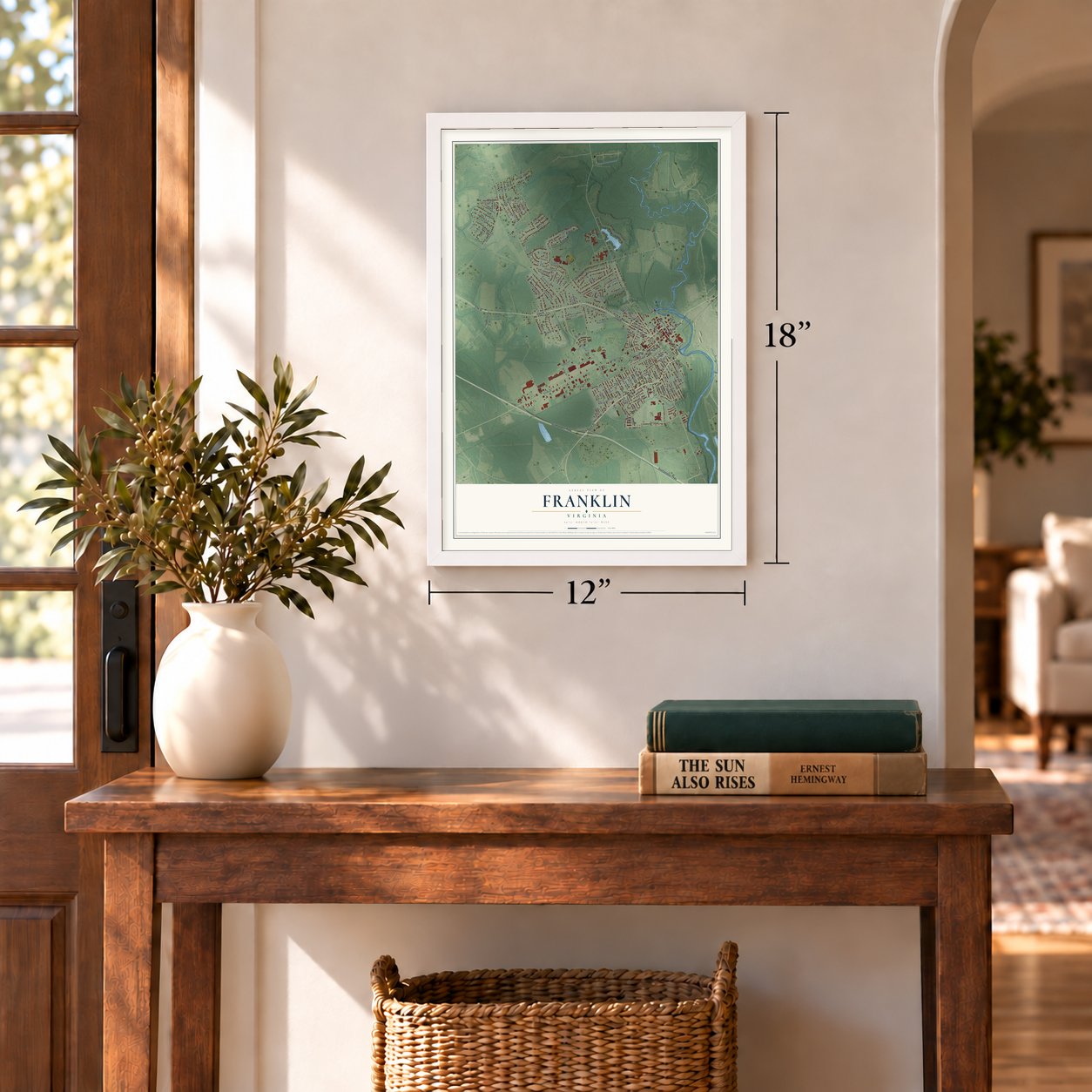
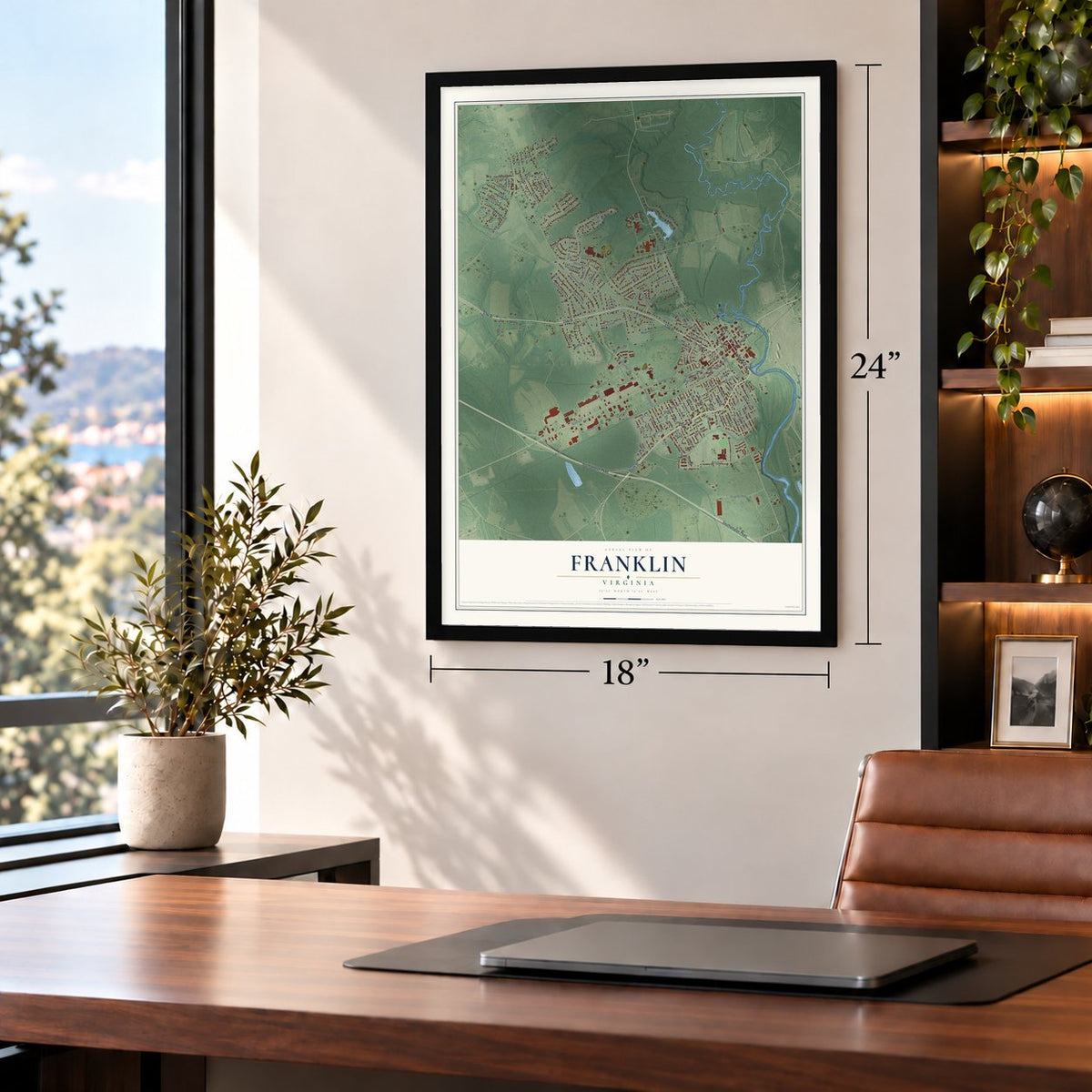
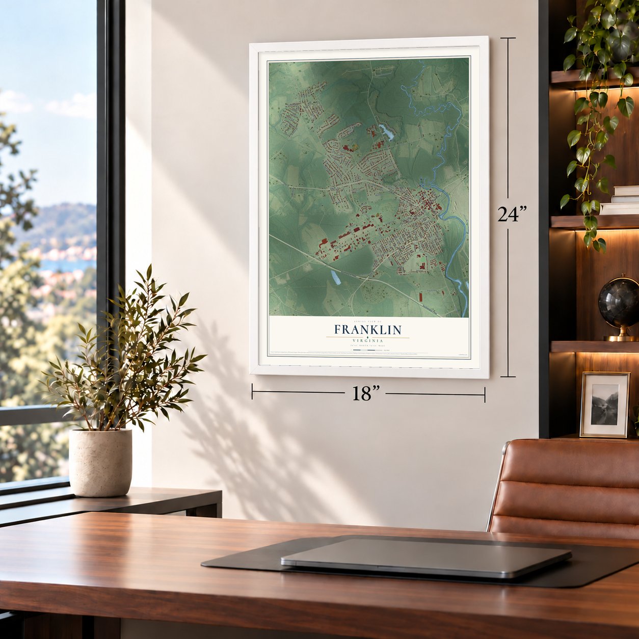

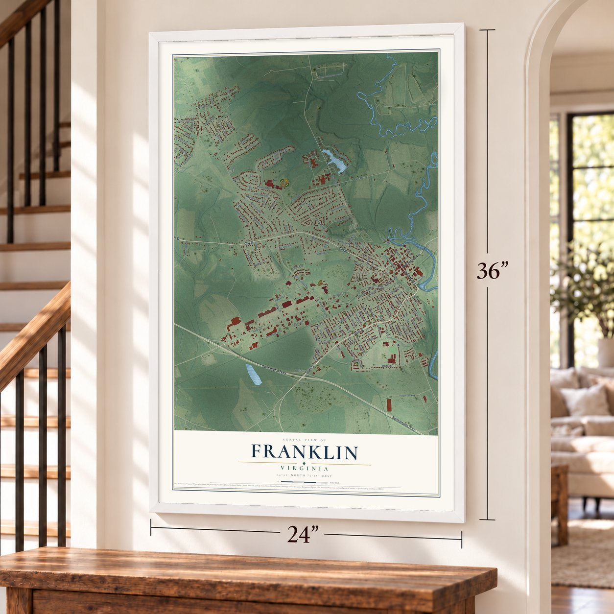
Free U.S. delivery 7 to 10 days after you order
Franklin, Virginia Map Art
A new map of Franklin, Virginia, made in 2026 and printed to order on thick archival matte paper.
12" x 18" Archival Matte Print
A Map of Home. A Work of Art.
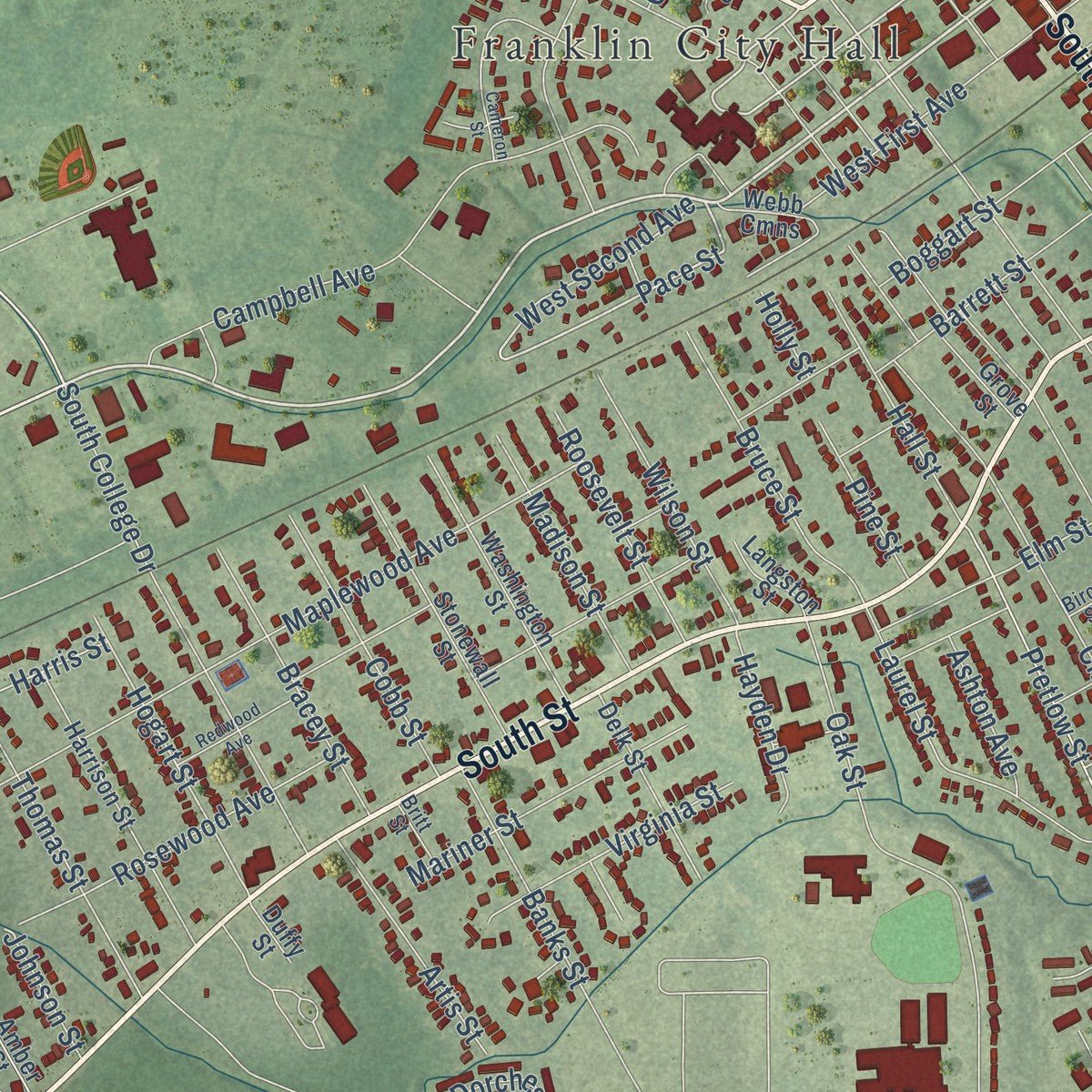
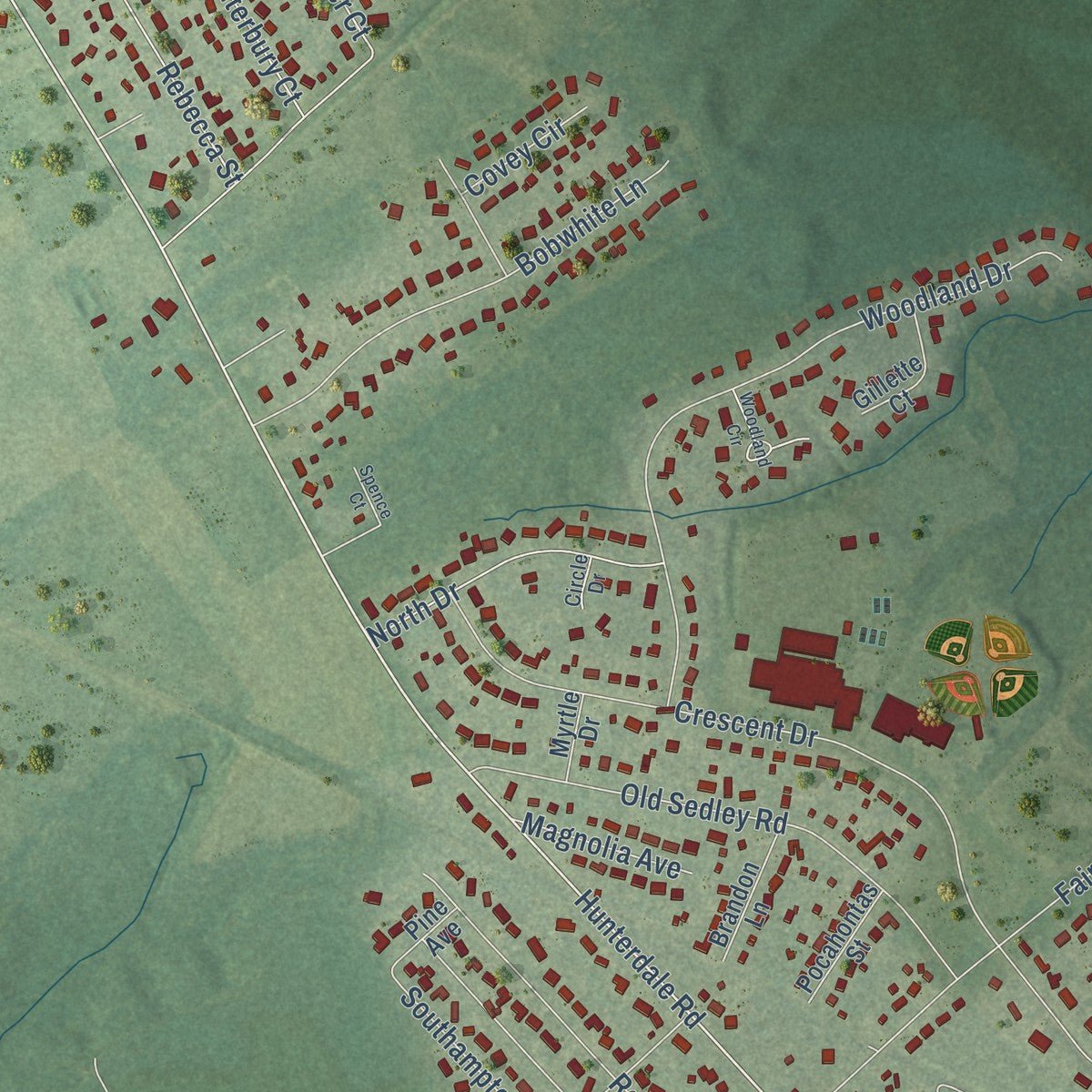
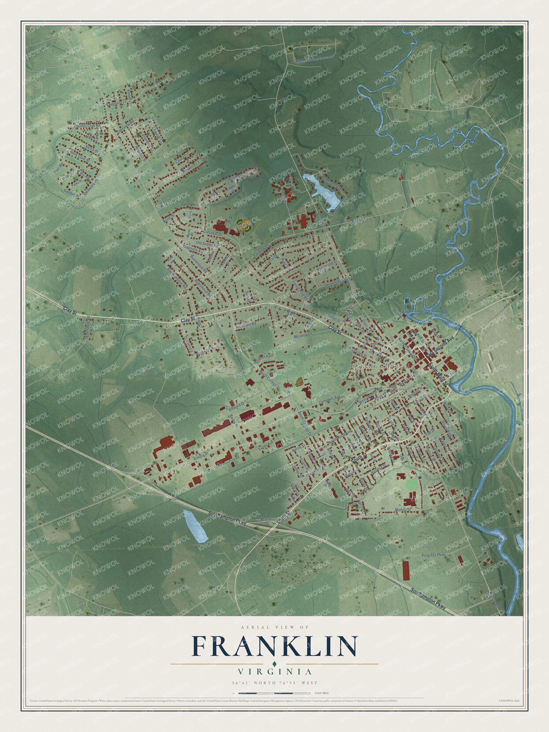
Explore Franklin, Virginia from a whole new perspective. Created using aerial imagery and detailed geographic data, this map captures Franklin building by building, with labeled streets, familiar landmarks, and shaded topographical relief that highlights the natural contours of the landscape.
Combining modern data with the timeless character of a vintage atlas, this map is just as interesting up close as it is beautiful on the wall. Whether you grew up in Franklin, spent memorable years there, or call it home today, this unique map is a great way to celebrate a place that means something to you. Zoom in on the preview to look for your street, and then order a print to put your memories on the wall.
Three ways to hang it
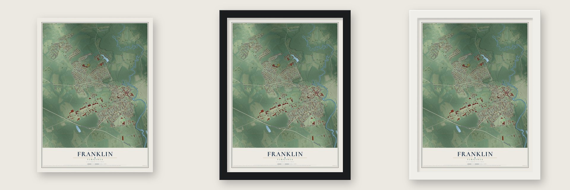
Unframed archival matte, a black wood frame or a white wood frame.
Up close
Geography Worth Displaying
This map was created using accurate cartographic data and authoritative geographic sources, including the U.S. Geological Survey and the Census Bureau. The map brings together terrain, waterways, roads, and building detail. The majority of the streets are labeled, houses are accurately depicted, and the topography is derived from government sources. Combining local data with carefully composed color and shading leads to this beautifully detailed Franklin artwork for your wall.
Rather than simply showing street outlines, we’ve included as many of the street names as we could reasonably fit on the map while keeping their names legible. Zoom in on the high resolution preview to see exactly what’s on the map. We truly set out to create a statement piece for anyone who loves Franklin. So whether it’s for you, or a gift for someone you love, we hope this map of Franklin brings back fond memories.
Read the story behind this map of Franklin, Virginia from 2026.

About Franklin, Virginia
Franklin is an independent city of 8,180 people in southeastern Virginia, on the Blackwater River. It started in the 1830s as a stop on the railroad, and in those years boats carried goods down the river to and from Albemarle Sound in North Carolina. Growth stayed slow until 1887, when six Camp brothers, whose family had local roots, bought a small sawmill that had already run beside the river for several years.
With Paul Douglas Camp as president, James Leonidas Camp as vice-president and Robert Judson Camp as secretary-treasurer, the mill grew quickly for 20 years. The company came close to bankruptcy, but World War I made it profitable again, and the town prospered along with it. By 1955 the Camp Corporation sold $28 million a year. On May 29, 1956, it merged with Union Bag and Paper of New York to form Union Camp, and in 1961 Franklin separated from Southampton County to become an independent city.
- Gunfire on the Blackwater, 1862In 1862 the USS Commodore Perry headed a group of U.S. Navy steamships that tried to get past Franklin on the Blackwater, and local Confederates fired on them from the banks. Five men were killed and sixteen wounded. As the ships pulled back, the Confederates cut down large trees to block the narrow river, but the Navy lost no ships and no men were taken prisoner. Seven sailors later received the Medal of Honor.
- A school founded in 1904Della Irving Hayden founded the Franklin Normal and Industrial Institute in 1904. Her school gave African American students training in academics, farming and industrial trades.
- Floyd's flood in 1999After Hurricane Floyd in 1999, the Blackwater rose to a record crest of 26.4 feet and left downtown Franklin under as much as 12 feet of water, flooding 182 businesses and 150 homes. When the name Floyd was retired in 2000, Franklin took its place on the list of hurricane names.
- The mill after Union CampUnion Camp ran the Franklin mill until International Paper bought the company in 1999. International Paper shut the paper mill in May 2010, ending about 1,100 jobs, then restarted part of it to make fluff pulp, which brought 213 new jobs. The family is still remembered by name at the James L. Camp Jr. YMCA, at Paul D. Camp Community College, at the Ruth Camp Campbell Memorial Library and at the Texie Camp Marks Children's Center.
Find your street
Names on the Franklin map
Every name below is printed on this map. Look for your street, your school, the park where you played, or the pond down the road.
Places and landmarks3
- Franklin City Hall
- Hunterdale
- Isaac
Streets and roads142
- South Street
- East Second Avenue
- South Main Street
- Clay Street
- Southampton Parkway
- Armory Drive
- West Second Avenue
- Pace Street
- North College Drive
- Harris Street
- North High Street
- Delaware Road
- Hogart Street
- Pretlow Street
- Pretlow Road
- Country Club Road
- River Landing Crescent
- Hunterdale Road
- Crescent Drive
- River Road
- Fairview Drive
- Woodland Drive
- Meadow Lane
- Maplewood Avenue
- Rosewood Avenue
- Forest Pine Road
- Beechwood Drive
- Campbell Avenue
- South High Street
- Morton Street
Show all 142 streets
- Oak Street
- Rebecca Street
- Carrie Drive
- Old Sedley Road
- Gardner Street
- Vaughans Lane
- South College Drive
- Robinhood Road
- Progress Parkway
- Laurel Street
- Bobwhite Lane
- Regency Lane
- Walnut Street
- Charles Street
- Homestead Road
- Dorchester Street
- Banks Street
- Southampton Road
- Sunset Drive
- Lakeview Road
- Chestnut Street
- Norfleet Street
- North Franklin Street
- Steward Drive
- Kings Lane
- Sycamore Road
- Barrett Street
- Wynnwood Drive
- Oakwood Drive
- Holly Cove Street
- Thomas Street
- Verna Street
- Bruce Street
- North Drive
- Mariner Street
- West First Avenue
- Bracey Street
- Garden Road
- Cobb Street
- Boggart Street
- Trail Road
- Village Drive
- Wilson Street
- Dale Circle
- Willis Road
- Sachs Avenue
- Queens Lane
- Virginia Street
- Madison Street
- Broad Street
- Beaman Street
- Hall Street
- Roosevelt Street
- Artis Street
- Beal Street
- Middle Street
- Bowers Road
- Rawlsdale Road
- Bailey Drive
- Elm Street
- Hayden Drive
- Magnolia Avenue
- Canterbury Court
- Pine Street
- Lee Street
- East Street
- Ashton Avenue
- Summit Path
- Chaucer Court
- Lytton Street
- Johnson Street
- Covey Circle
- Gay Street
- Page Street
- Park Circle
- Holly Street
- Commerce Park Road
- Harrison Street
- Stonewall Street
- Washington Street
- East Barrett Street
- Delk Street
- Webb Cmns
- Brandon Lane
- Gillette Court
- Ryland Street
- Wiggins Court
- Pocahontas Street
- Kimberly Drive
- Parks Place
- Grove Street
- Scott Street
- Pine Avenue
- Langston Street
- Ridge Road
- Amber Street
- Myrtle Drive
- Duffy Street
- North Main Street
- East Third Avenue
- Birch Street
- Barrister Lane
- Britt Street
- Circle Drive
- Clay Court
- Redwood Avenue
- Cameron Street
- Woodland Circle
- Orchard Street
- Spence Court
- North Teal Circle
- Gray Fox Lane
Names are listed as they appear on the printed map. Zoom into the product photos to find them.
The art of mapping a place
How This Map Was Made
Real places. Remarkable detail. Discover the layers that turn geographic data into a map of home.

The view from above
Aerial imagery reveals the character of the land: woodland, open fields, and the patterns of a place.

The shape of the land
Elevation data brings hills, valleys, and subtle changes in the landscape into view.

The details of home
Roads, waterways, and building footprints come together to make the map feel unmistakably local.

Geography becomes art
Considered color, shading, and typography bring the layers together in a map made for your wall.


Process illustrated with Mendon, Massachusetts. Aerial imagery: USDA NAIP. Terrain: USGS 3D Elevation Program. Map details and finished artwork: KNOWOL.
The Details
About This Print
Choose an archival matte print, or a black or white Ayous wood frame. The archival matte print is unframed.
Select your size and finish above to see the matching product image and price.
Materials & Craftsmanship
A contemporary map with the character of a classic atlas, printed on archival matte paper. Optional frames are made from Ayous wood.
Your printed map does not include the watermark shown in the full-map preview.
Shipping & Delivery
Free shipping within the United States. Every print is made to order in the USA.
Buying a gift? Add a note in your cart and we'll include it. We never put prices in the package.
Prints ship within 2 to 3 business days. Allow 7 to 10 days total from ordering for delivery. Timing may vary during holidays or periods of high order volume.
Read our shipping policy.
Returns and damaged prints
Each print is made to order. Change-of-mind refunds are not available after production.
If your print arrives damaged, misprinted or incorrect, contact support@knowol.com within 30 days of receiving it. Include your order number, photos and a description of the issue.
Read our full refund and replacement policy. For questions about your order, email support@knowol.com.
Find your town
Looking for another city?
Find a map of home in our Virginia collection, or any town in the country.
Nearby
Maps of towns near Franklin
Know someone from one of these towns? Their map makes a great gift.
 Camptown
, Virginia
From $39.99See the map
 Carrsville
, Virginia
From $39.99See the map
 Southampton Meadows
, Virginia
From $39.99See the map
More maps nearby: Courtland, Sedley, Newsoms, Windsor and Capron.