
Search for another town





Free U.S. delivery 7 to 10 days after you order
Fulshear, Texas Map Art
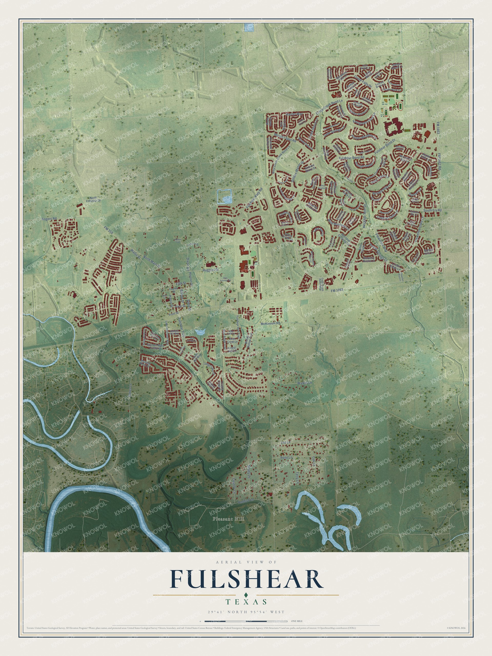
A new map of Fulshear, Texas, made in 2026 and printed to order on thick archival matte paper.
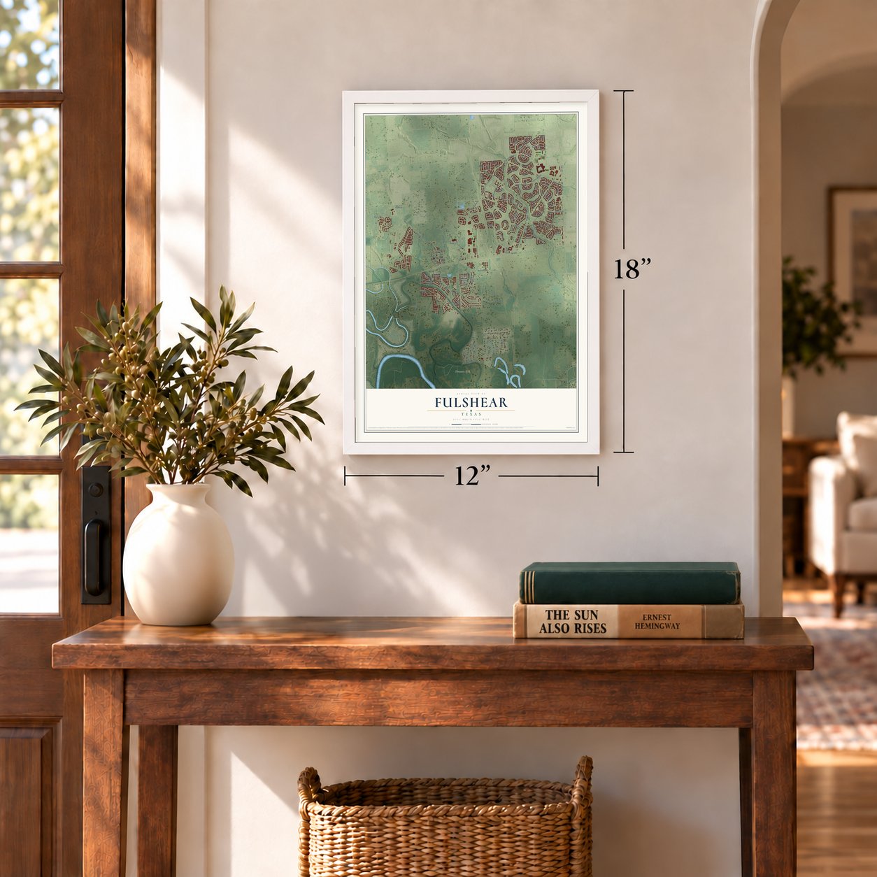
12" x 18" Archival Matte Print
A Map of Home. A Work of Art.
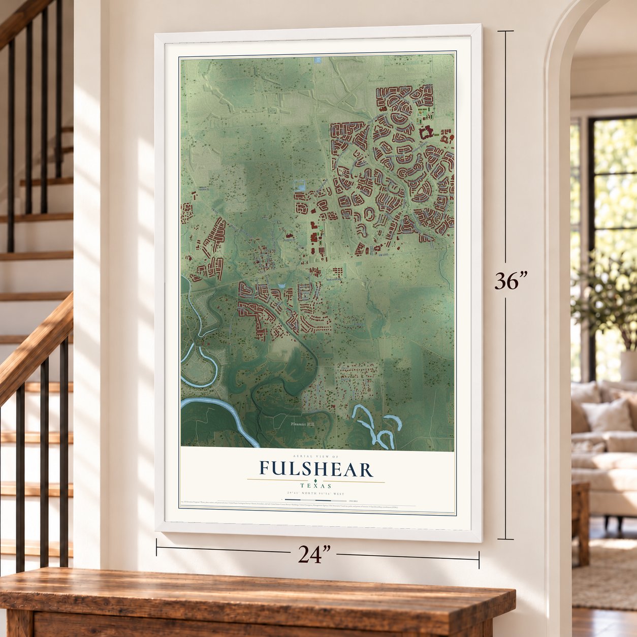
This beautifully detailed map of Fulshear, Texas was created in 2026 using aerial imagery combined with modern topographical, census, street and landmark data. It's a modern aerial view of Fulshear in Fort Bend County, Texas, that combines modern data with a vintage aesthetic. Zoom in on the preview and look for your block.
Three ways to hang it
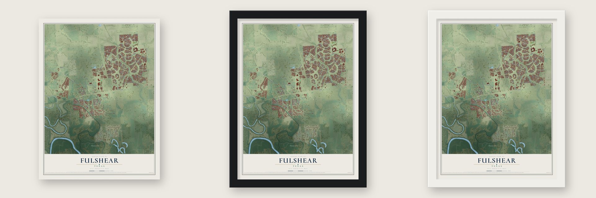
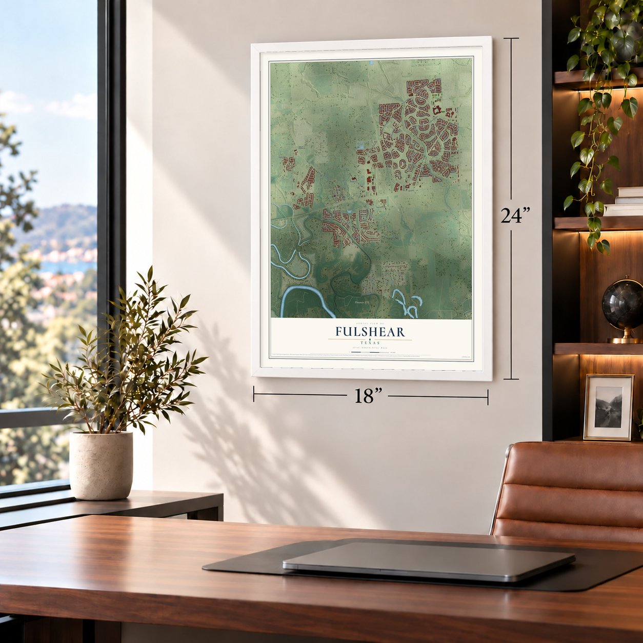
Unframed archival matte, a black wood frame or a white wood frame.
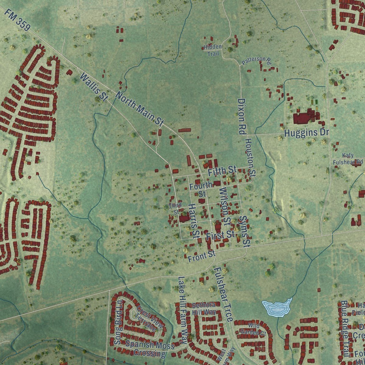
Up close
Real geography. Art worth displaying.
This map was created using accurate cartographic data and authoritative geographic sources, including the U.S. Geological Survey and the Census Bureau. The map brings together terrain, waterways, roads, and building detail. The majority of the streets are labeled, houses are accurately depicted, and the topography is derived from government sources. Combining local data with carefully composed color and shading leads to this beautifully detailed Fulshear artwork for your wall.
Rather than simply showing street outlines, we’ve included as many of the street names as we could reasonably fit on the map while keeping their names legible. Zoom in on the high resolution preview to see exactly what’s on the map. We truly set out to create a statement piece for anyone who loves Fulshear. So whether it’s for you, or a gift for someone you love, we hope this map of Fulshear brings back fond memories.
Read the story behind this map of Fulshear, Texas from 2026.

About Fulshear, Texas
Fulshear is a city in northern Fort Bend County at the junction of Farm Roads 359 and 1093. It developed around Churchill Fulshear's plantation, where a cotton gin and flour mill anchored an early agricultural community. The 2020 census recorded 16,856 residents.
- Railroad TownIn 1888, Churchill Fulshear, Jr. granted the San Antonio and Aransas Pass Railway passage through his land; the town was laid out and received a post office in 1890.
- Fire and RecoveryAfter a 1910 fire consumed one business block, Fulshear recovered within two years, when payday crowds again packed downtown sidewalks.
- Schools UnitedTwo schools for Black pupils, one for Hispanic pupils, and one for White pupils joined the Lamar Consolidated Independent School District in 1948.
- Population ChangesFulshear counted 300 residents in 1929, fell to 100 in 1933, and remained under 250 until Houston-area growth spread in the late 1970s.
Find your street
Names on the Fulshear map
Every name below is printed on this map. Look for your street, your school, the park where you played, or the pond down the road.
Places and landmarks1
- Pleasant Hill
Streets and roads146
- Wallis Street
- Burnett Hills Lane
- FM 1093
- Cross Creek Bend Lane
- Fulshear Bend Drive
- FM 359
- Fulshear-Katy Road
- FM 1463
- FM 1463 Road
- Fulshear Bend Road
- North Main Street
- Flewellen Oaks Lane
- James Lane
- Flewellen Way
- Creek Falls Drive
- Redbird Lane
- Morgan Spur Road
- Fulshear Trce
- Golden Manor Drive
- Lea Lane
- Jade Springs Lane
- Penn Lane
- Rogers Road
- South Fry Road
- Dixon Road
- Walker Lane
- Harper Meadow Lane
- Caspian Falls Lane
- Shady Lane
- Lake Vw Lp
Show all 146 streets
- Arroyo Springs Lane
- Wild Mustang Lane
- Morgans Spur Drive
- McKinnon Road
- Evergreen Cove Lane
- Harris Street
- Huggins Drive
- Terry Lane
- Oak Lane
- Fifth Street
- Syms Street
- Wilson Street
- Country Lane
- Hauter Way
- Creek Shore Lane
- First Street
- Hunt Trace Lane
- Sunset Lane
- Wilson Trace Lane
- Liberty Heights Lane
- Long Mill Lane
- Barberry Banks Lane
- Regatta Run Lane
- Windcrest Key Lane
- Silver Thistle Lane
- Lodge Lake Drive
- Song Bird Lane
- West Cross Creek Bend Lane
- Fulshear Run Trail
- Lake Hill Farm Way
- Winding Terrace Lane
- Ana Ridge Lane
- Hofffman Springs Lane
- Skycreek Crossing Lane
- Water Terrace Lane
- Windy Oaks Drive
- Enchanted Shores Lane
- Turning Springs Lane
- Starlight Harbor Lane
- Woods Hollow Trail
- Spanish Moss Crossing
- Kenton Place Lane
- Maple Glen Drive
- Fourth Street
- Castle Park Lane
- Crystal Rose Lane
- Blue Ridge Trail
- Satton Ranch Lane
- Teal Bay Lane
- Sycamore Falls Lane
- Pepper Trail Lane
- Sweet Creek Lane
- Houston Street
- North Fulshear Drive
- Harmony Breeze Lane
- Aspen Crest Drive
- Cold Stream Court
- Primrose Valley Lane
- Linden Ridge Lane
- Trickle Creek Drive
- Autumn Shore Drive
- Evening Oaks Lane
- Aspen Falls Lane
- Chapel Falls Lane
- Damon Creek Lane
- Deer Crest Lane
- Forest Hill Lane
- Farm Hill Way
- Meadow Wood Drive
- Bartlett Vista Court
- Quiet Falls Lane
- Front Street
- Buffalo Hills Lane
- Kendalia Cloud Lane
- Calm Brook Lane
- Legend Creek Drive
- Walton Water Way Lane
- Twin Knolls Lane
- Cross Creek Ranch Boulevard
- Symphony Creek Lane
- Mustang Ridge Lane
- Lakeway Trail Lane
- Briarcliff Lane
- Crest View Terrrace
- Pedernales Bend Lane
- Emerald Brook Lane
- Vineyard Terrace Lane
- Cedar Elm Lane
- Casen Ranch Lane
- Cabernet Shores Drive
- Knox Prairie Lane
- Hay Field Lane
- Sethora Hill Way
- Hidden Brook Lane
- Caldwell Sky Lane
- Fleming Rock Lane
- Flewellen Place Lane
- Creekside Park Drive
- Lakewind
- Third Street
- West Farm Way
- Briscoe Bend Lane
- Cross Creek Harbor Lane
- South Saddle Creek Lane
- Indigo Ridge Drive
- Edgemont Court
- Afton Heights Lane
- Autrey Bend Lane
- Patterson Road
- Wild Garden Court
- Katy Fulshear Road
- Marina Point Lane
- Laurel Garden Lane
- Laurel Grove Lane
- Spring River Lane
- Hidden Trail
Names are listed as they appear on the printed map. Zoom into the product photos to find them.
The art of mapping a place
How This Map Was Made
Real places. Remarkable detail. Discover the layers that turn geographic data into a map of home.

The view from above
Aerial imagery reveals the character of the land: woodland, open fields, and the patterns of a place.

The shape of the land
Elevation data brings hills, valleys, and subtle changes in the landscape into view.

The details of home
Roads, waterways, and building footprints come together to make the map feel unmistakably local.

Geography becomes art
Considered color, shading, and typography bring the layers together in a map made for your wall.


Process illustrated with Mendon, Massachusetts. Aerial imagery: USDA NAIP. Terrain: USGS 3D Elevation Program. Map details and finished artwork: KNOWOL.
The Details
About This Print
Choose an archival matte print, or a black or white Ayous wood frame. The archival matte print is unframed.
Select your size and finish above to see the matching product image and price.
Materials & Craftsmanship
A contemporary map with the character of a classic atlas, printed on archival matte paper. Optional frames are made from Ayous wood.
Your printed map does not include the watermark shown in the full-map preview.
Shipping & Delivery
Free shipping within the United States. Every print is made to order in the USA.
Buying a gift? Add a note in your cart and we'll include it. We never put prices in the package.
Prints ship within 2 to 3 business days. Allow 7 to 10 days total from ordering for delivery. Timing may vary during holidays or periods of high order volume.
Read our shipping policy.
Returns and damaged prints
Each print is made to order. Change-of-mind refunds are not available after production.
If your print arrives damaged, misprinted or incorrect, contact support@knowol.com within 30 days of receiving it. Include your order number, photos and a description of the issue.
Read our full refund and replacement policy. For questions about your order, email support@knowol.com.
Find your town
Looking for another city?
Find a map of home in our Texas collection.
Nearby
Maps of towns near Fulshear
Know someone from one of these towns? Their map makes a great gift.
 Weston Lakes
, Texas
From $39.99See the map
 Simonton
, Texas
From $39.99See the map
 Brookshire
, Texas
From $39.99See the map
More maps nearby: Katy, Orchard, Cinco Ranch, Cumings and Brazos Country.