
Search for another town




Free U.S. delivery 7 to 10 days after you order
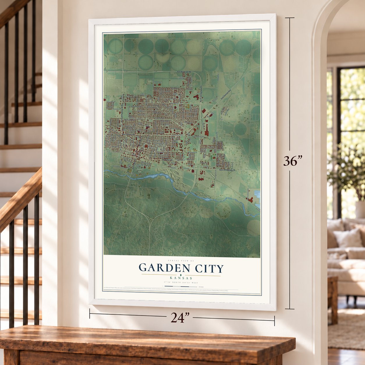
Garden City, Kansas Map Art
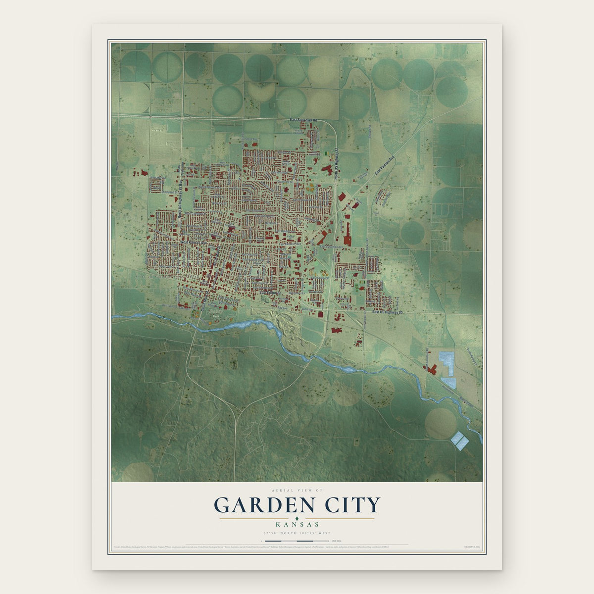
A new map of Garden City, Kansas, made in 2026 and printed to order on thick archival matte paper.
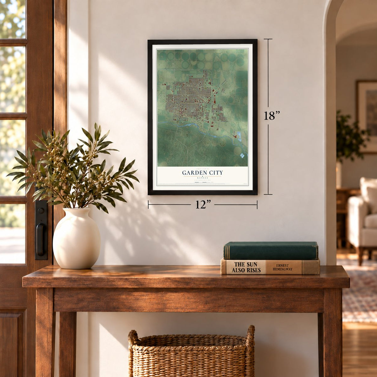
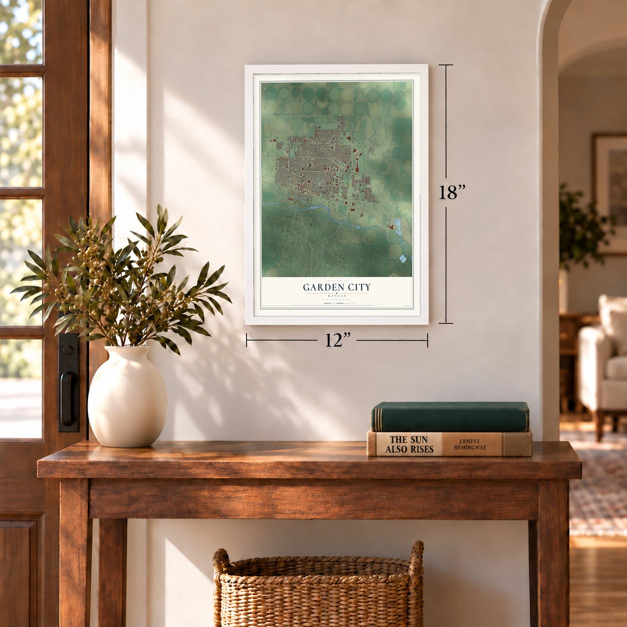
12" x 18" Archival Matte Print
A Map of Home. A Work of Art.
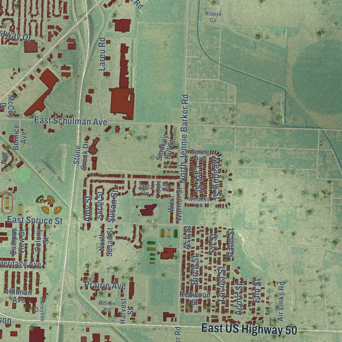
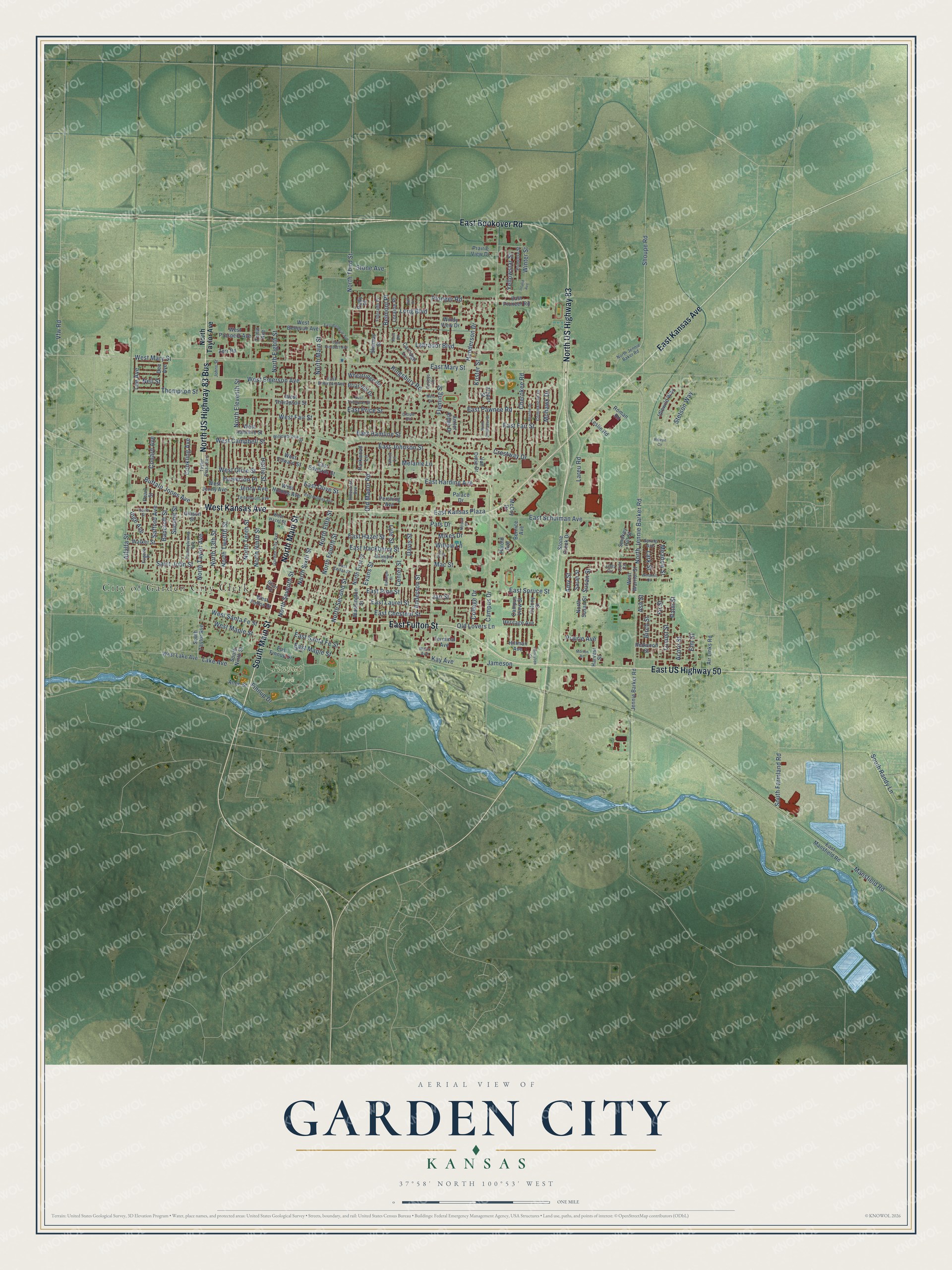
Explore Garden City, Kansas from a whole new perspective. Created using aerial imagery and detailed geographic data, this map captures Garden City building by building, with labeled streets, familiar landmarks, and shaded topographical relief that highlights the natural contours of the landscape.
Combining modern data with the timeless character of a vintage atlas, this map is just as interesting up close as it is beautiful on the wall. Whether you grew up in Garden City, spent memorable years there, or call it home today, this unique map is a great way to celebrate a place that means something to you. Zoom in on the preview to look for your street, and then order a print to put your memories on the wall.
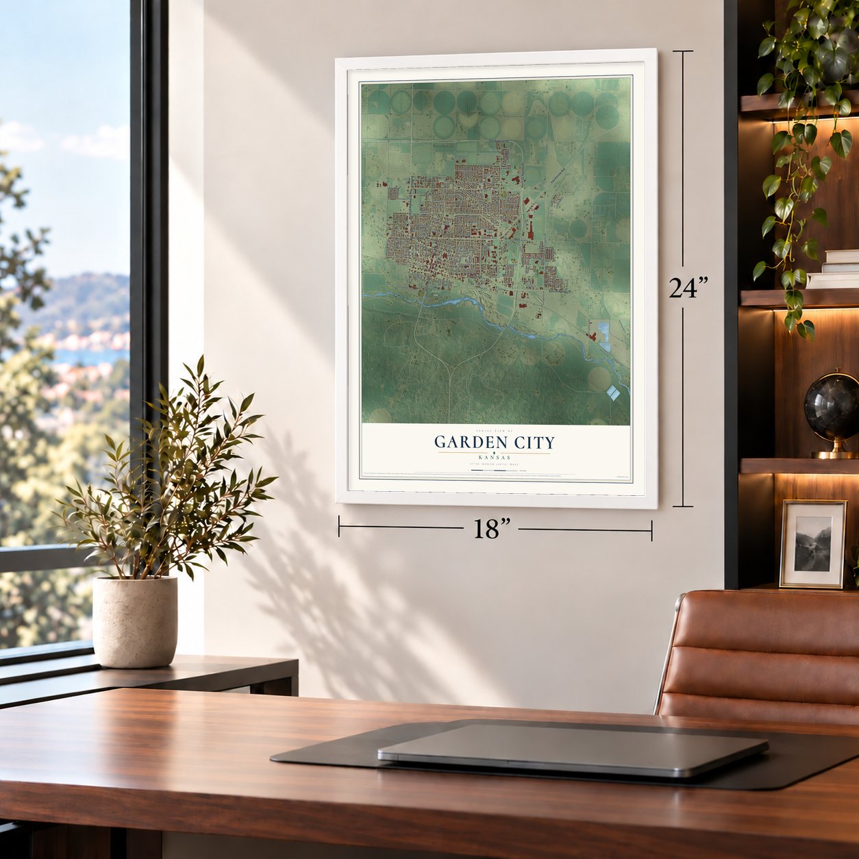
Three ways to hang it
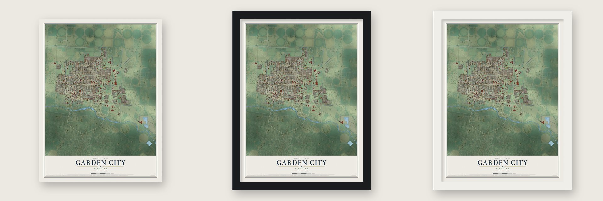
Unframed archival matte, a black wood frame or a white wood frame.
Up close
Geography Worth Displaying
This map was created using accurate cartographic data and authoritative geographic sources, including the U.S. Geological Survey and the Census Bureau. The map brings together terrain, waterways, roads, and building detail. The majority of the streets are labeled, houses are accurately depicted, and the topography is derived from government sources. Combining local data with carefully composed color and shading leads to this beautifully detailed Garden City artwork for your wall.
Rather than simply showing street outlines, we’ve included as many of the street names as we could reasonably fit on the map while keeping their names legible. Zoom in on the high resolution preview to see exactly what’s on the map. We truly set out to create a statement piece for anyone who loves Garden City. So whether it’s for you, or a gift for someone you love, we hope this map of Garden City brings back fond memories.
Read the story behind this map of Garden City, Kansas from 2026.

About Garden City, Kansas
Garden City is a city of 28,151 people and the county seat of Finney County, just north of the Arkansas River. In February 1878 James R. Fulton, his brother William D. Fulton and William's son L.W. Fulton reached the site. Engineer Charles Van Trump laid out the townsite on sandy ground covered with sagebrush and soap weeds, with no trees at all, and Main Street became the line between the two brothers' claims. William built a house of one and a half stories on the east side and ran it as the Occidental Hotel. Few settlers came, and after its first year the town had only four buildings.
That changed in 1879. Charles Jesse Jones, later called "Buffalo" Jones, came for an antelope hunt in January, and the Fultons hired him to promote the town and to win a switch station from the Santa Fe railroad. The railroad agreed, homesteaders began to arrive that spring, and the Garden City Ditch brought irrigation to the county after a long drought. The town's first newspaper came out on April 3, 1879, and three months later its editor counted forty buildings.
“One day a tramp going through town stopped at the Occidental Hotel, which was operated by the Fultons. During a conversation with him, Mrs. Fulton happened to mention her search for a town name. Looking out the window at her beautiful garden, he suggested the name Garden City.”
- The boom of 1885 to 1887From 1885 to 1887 settlers rushed into western Kansas, one for every quarter section, and crowds lined up at the U.S. Land Office in Garden City to file their claims. When the rush peaked, Garden City supported two daily newspapers, thirteen drug stores and nine lumber yards, and most passengers on the daily trains got off here.
- Poles down the middle of MainWhen the first telephone line went up, trees already stood on both sides of Main Street. Residents knew how precious trees were in western Kansas and refused to let them be cut, so the poles were planted in the middle of the street instead. The town's first long-distance line, nine miles long, followed in 1919.
- Lee Richardson ZooGarden City is home to the Lee Richardson Zoo, the largest zoo in western Kansas, and to Garden City Community College.
Find your street
Names on the Garden City map
Every name below is printed on this map. Look for your street, your school, the park where you played, or the pond down the road.
Places and landmarks2
- City of Garden City Clerk
- Finnup Park
Streets and roads215
- North US Highway 83 Bus
- West Kansas Avenue
- East Fulton Street
- North Main Street
- East Kansas Avenue
- North US Highway 83
- East US Highway 50
- East Bookover Road
- South Main Street
- Buffalo Jones Avenue
- North Taylor Avenue
- Vfw Road
- West Mary Street
- East Mary Street
- North Jennie Barker Road
- Lake Avenue
- West Santa Fe Street
- Yellowstar Street
- Winter Street
- East Maple Street
- Pioneer Road
- Campus Drive
- East Spruce Street
- North Third Street
- Fleming Street
- North Eighth Street
- North Eleventh Street
- North Seventh Street
- Belmont Place
- Center Street
Show all 215 streets
- East Fair Street
- North Sixth Street
- North Ninth Street
- East Laurel Street
- North Tenth Street
- Labrador Boulevard
- West Campbell Street
- Finnup Drive
- North Twelfth Street
- North 13th Street
- East Johnson Street
- East Chestnut Street
- West Olive Street
- Anderson Street
- East Schulman Avenue
- East Harding Avenue
- East Hackberry Street
- Saint John Street
- Lareu Road
- Shoupe Road
- North Fifth Street
- Conkling Avenue
- East Kansas Plaza
- North Fourth Street
- East Pine Street
- North Second Street
- Pats Drive
- Bancroft Street
- Summit Street
- Henderson Drive
- West Emerson Avenue
- Jenny Avenue
- Cherokee Road
- Evans Street
- Crestway Drive
- East Hazel Street
- College Drive
- East Pawnee Road
- Elm Street
- East Hamline Street
- Koster Street
- Hattie Street
- Mansfield Road
- Old Manor Road
- West Fair Street
- Safford Avenue
- Davis Street
- Inge Avenue
- Long Boulevard
- East Santa Fe Street
- Old Lovers Lane
- Stone Avenue
- East Price Street
- Locust Street
- Mikes Drive
- Alfalfa Street
- Palm Street
- West Maple Street
- Birch Street
- Fir Street
- Amy Street
- Ash Street
- South Farmland Road
- Kingsbury Road
- South Randy Lane
- Melanie Lane
- Mac Street
- Mohawk Drive
- Susan Street
- Conard Avenue
- Thompson Street
- East Olive Street
- Stetson Way
- Howerton Place
- Jameson
- Meadow Street
- Jan Street
- Willow Lane
- Lark Street
- Prairie Avenue
- Lee Avenue
- Lyle Street
- Acorn Street
- Neil Street
- Kay Avenue
- West Lake Avenue
- South Taylor Avenue
- South Ninth Street
- Jennie Barker Road
- West Jenny Avenue
- West Fulton Street
- North First Street
- West Prospect Avenue
- East Mansfield Road
- West Thompson Street
- Walker Street
- Redwood Street
- Parkwood Lane
- Windy View Drive
- Pershing Avenue
- Pearl Street
- Wheatridge Road
- East Finnup Drive
- Carriage Lane
- West Bellevue Avenue
- Briar Hill Drive
- Stone Creek Drive
- Dee Avenue
- Van Dittie Drive
- East Edwards Street
- Washington Street
- West Edward Street
- Antler Ridge Drive
- West Hamline Street
- Harold Avenue
- Air Links Road
- Gibson Street
- Heritage Avenue
- Tonio Avenue
- Idlewild Way
- Smokey Hill Street
- East Pioneer Road
- Campus View Street
- West Warrior Street
- Colony Street
- Prairie View Drive
- Roman Road
- West Holmes Avenue
- Harvest Street
- Zerr Road
- Loraine Place
- North Susan Street
- Leslie Road
- Hillman Avenue
- Allen Street
- Terminal Avenue
- Zipper Street
- Shamus Street
- Sarah Street
- Palace Drive
- Bernice Avenue
- McCoy Drive
- Patty Place
- North Jennie Baker Road
- Commanche Drive
- East Cedar Street
- Pinecrest Avenue
- Pennsylvania Avenue
- Taylor Plaza East
- Teitelbaum Avenue
- Primrose Street
- Garden City Avenue
- Kello Street
- Willowbrook Street
- East Emerson Avenue
- Fitz Street
- Gillespie Place
- West Hazel Street
- Eldorado Place
- Jantz Circle
- Spring Avenue
- Caseys Drive
- Janice Lane
- Cole Circle
- Johns Street
- Eugene Place
- Cloud Circle
- Walls Avenue
- Grant Avenue
- Inland Avenue
- East Thompson Street
- Nelson Street
- Windmill Drive
- Ballinger Street
- Apache Drive
- East Bellevue Avenue
- Honeybee Court
- East Holmes Avenue
- East Prospect Avenue
- North Sunflower Street
- Cliff Place
- Morton Road
- Ribeye Circle
- Mels Drive
- Rock Road
Names are listed as they appear on the printed map. Zoom into the product photos to find them.
The art of mapping a place
How This Map Was Made
Real places. Remarkable detail. Discover the layers that turn geographic data into a map of home.

The view from above
Aerial imagery reveals the character of the land: woodland, open fields, and the patterns of a place.

The shape of the land
Elevation data brings hills, valleys, and subtle changes in the landscape into view.

The details of home
Roads, waterways, and building footprints come together to make the map feel unmistakably local.

Geography becomes art
Considered color, shading, and typography bring the layers together in a map made for your wall.


Process illustrated with Mendon, Massachusetts. Aerial imagery: USDA NAIP. Terrain: USGS 3D Elevation Program. Map details and finished artwork: KNOWOL.
The Details
About This Print
Choose an archival matte print, or a black or white Ayous wood frame. The archival matte print is unframed.
Select your size and finish above to see the matching product image and price.
Materials & Craftsmanship
A contemporary map with the character of a classic atlas, printed on archival matte paper. Optional frames are made from Ayous wood.
Your printed map does not include the watermark shown in the full-map preview.
Shipping & Delivery
Free shipping within the United States. Every print is made to order in the USA.
Buying a gift? Add a note in your cart and we'll include it. We never put prices in the package.
Prints ship within 2 to 3 business days. Allow 7 to 10 days total from ordering for delivery. Timing may vary during holidays or periods of high order volume.
Read our shipping policy.
Returns and damaged prints
Each print is made to order. Change-of-mind refunds are not available after production.
If your print arrives damaged, misprinted or incorrect, contact support@knowol.com within 30 days of receiving it. Include your order number, photos and a description of the issue.
Read our full refund and replacement policy. For questions about your order, email support@knowol.com.
Find your town
Looking for another city?
Find a map of home in our Kansas collection, or any town in the country.
Nearby
Maps of towns near Garden City
Know someone from one of these towns? Their map makes a great gift.
 Holcomb
, Kansas
From $39.99See the map
 Pierceville
, Kansas
From $39.99See the map
 Deerfield
, Kansas
From $39.99See the map
More maps nearby: Lakin, Ingalls, Shallow Water, Cimarron and Copeland.