
Search for another town




Free U.S. delivery 7 to 10 days after you order
Georgetown, South Carolina Map Art
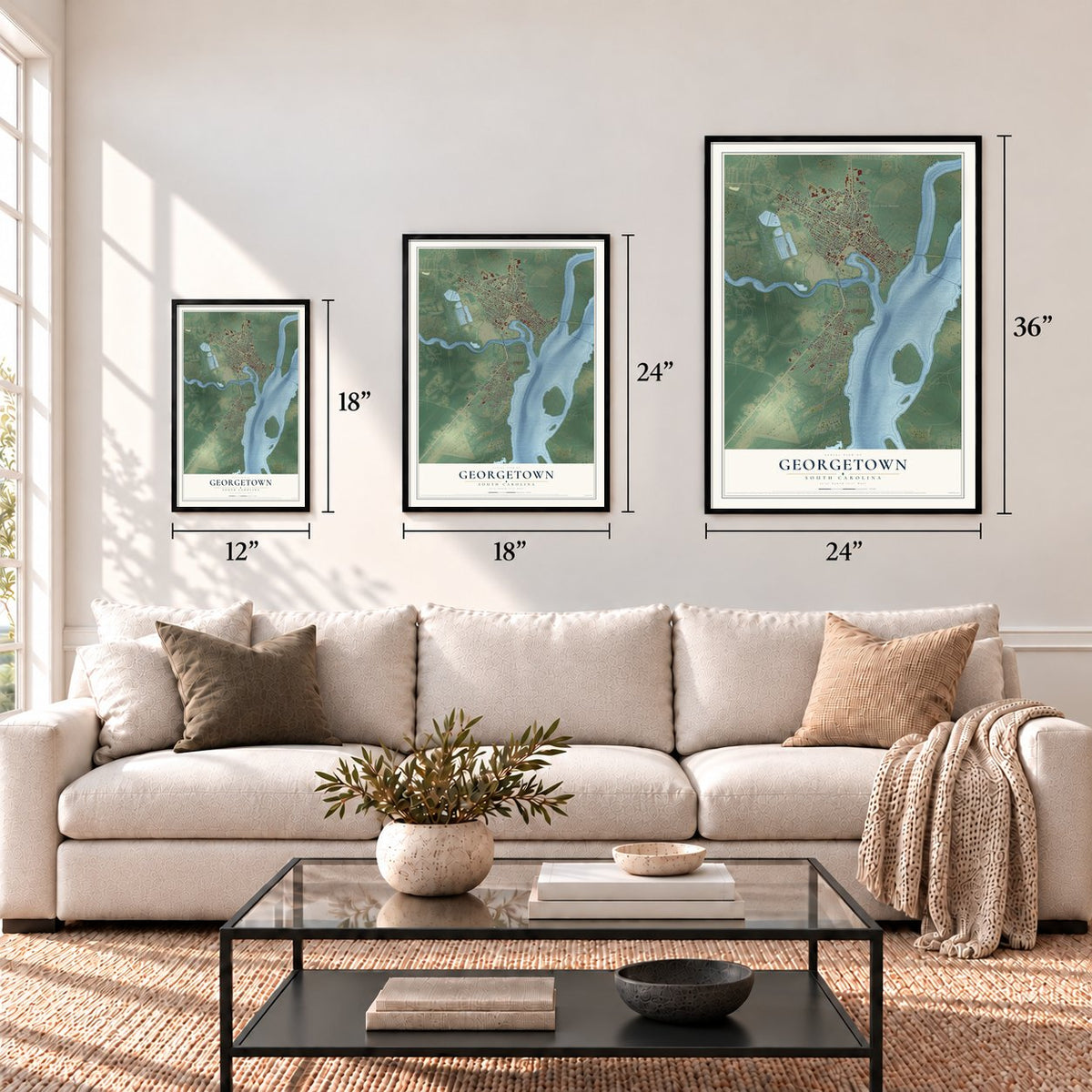
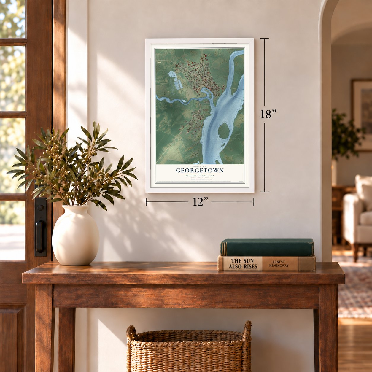
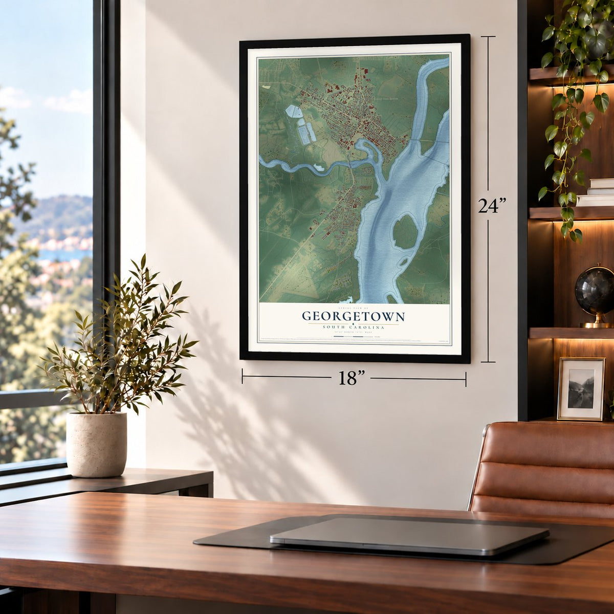
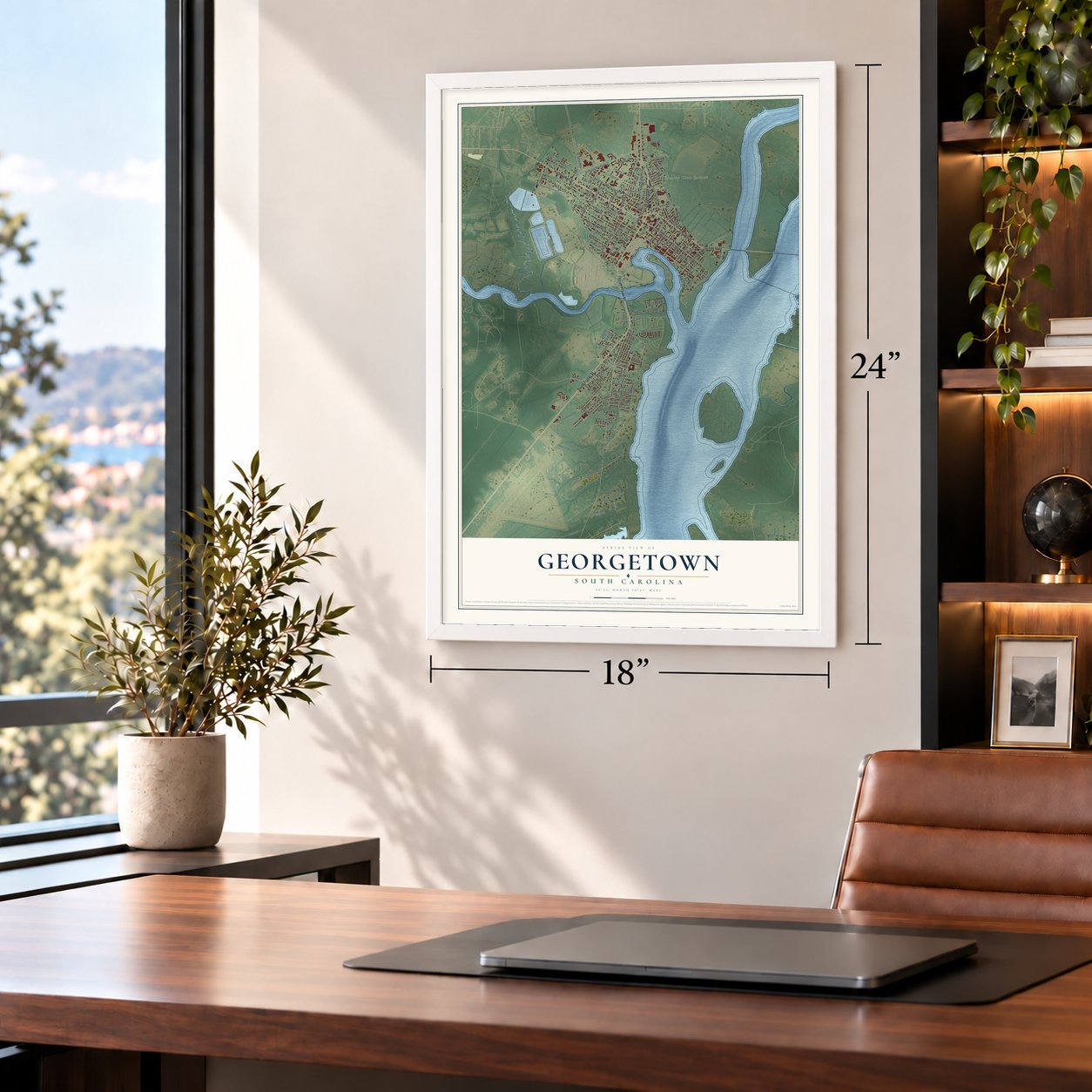
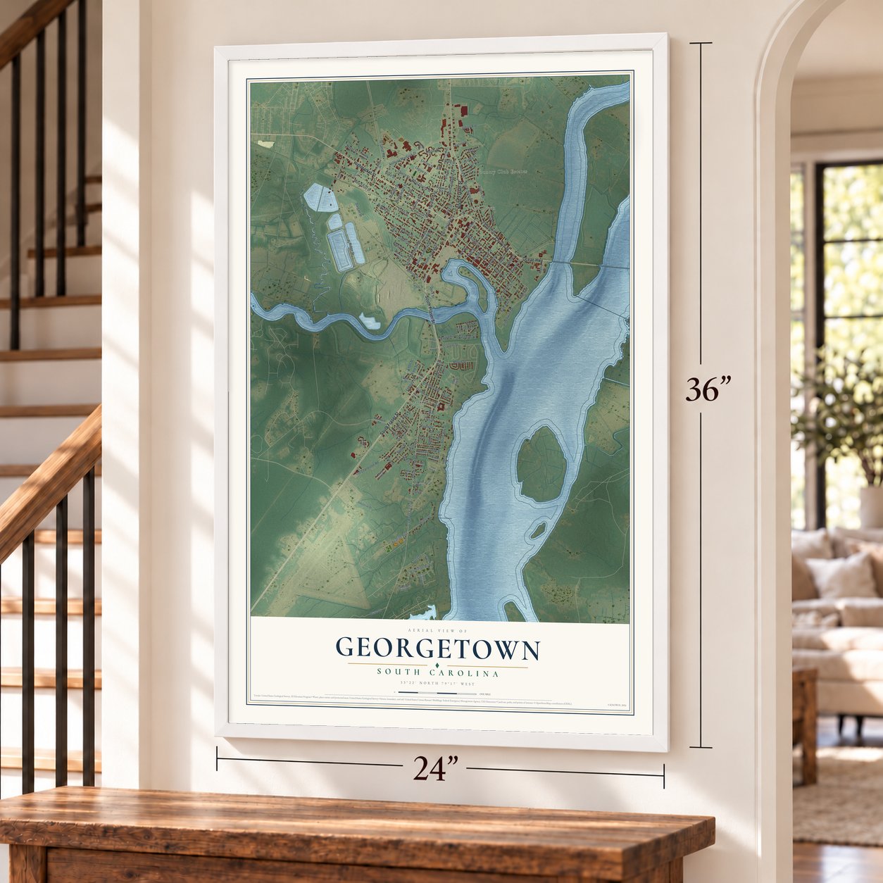
A new map of Georgetown, South Carolina, made in 2026 and printed to order on thick archival matte paper.
12" x 18" Archival Matte Print
A Map of Home. A Work of Art.
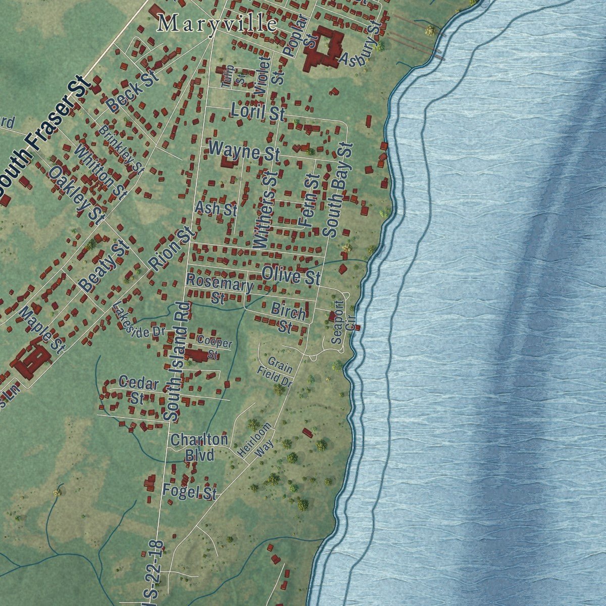
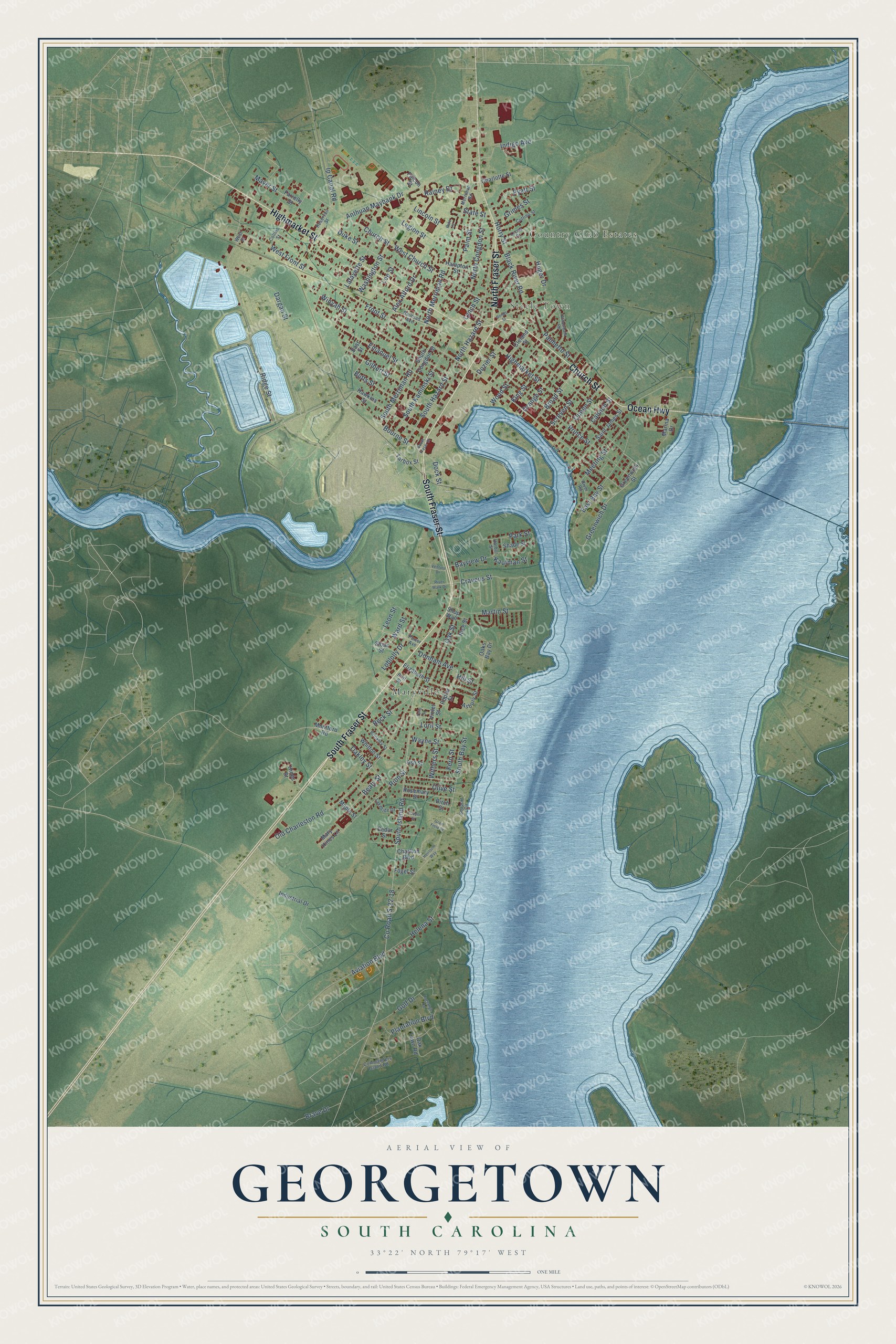
Explore Georgetown, South Carolina from a whole new perspective. Created using aerial imagery and detailed geographic data, this map captures Georgetown building by building, with labeled streets, familiar landmarks, and shaded topographical relief that highlights the natural contours of the landscape.
Combining modern data with the timeless character of a vintage atlas, this map is just as interesting up close as it is beautiful on the wall. Whether you grew up in Georgetown, spent memorable years there, or call it home today, this unique map is a great way to celebrate a place that means something to you. Zoom in on the preview to look for your street, and then order a print to put your memories on the wall.
Three ways to hang it
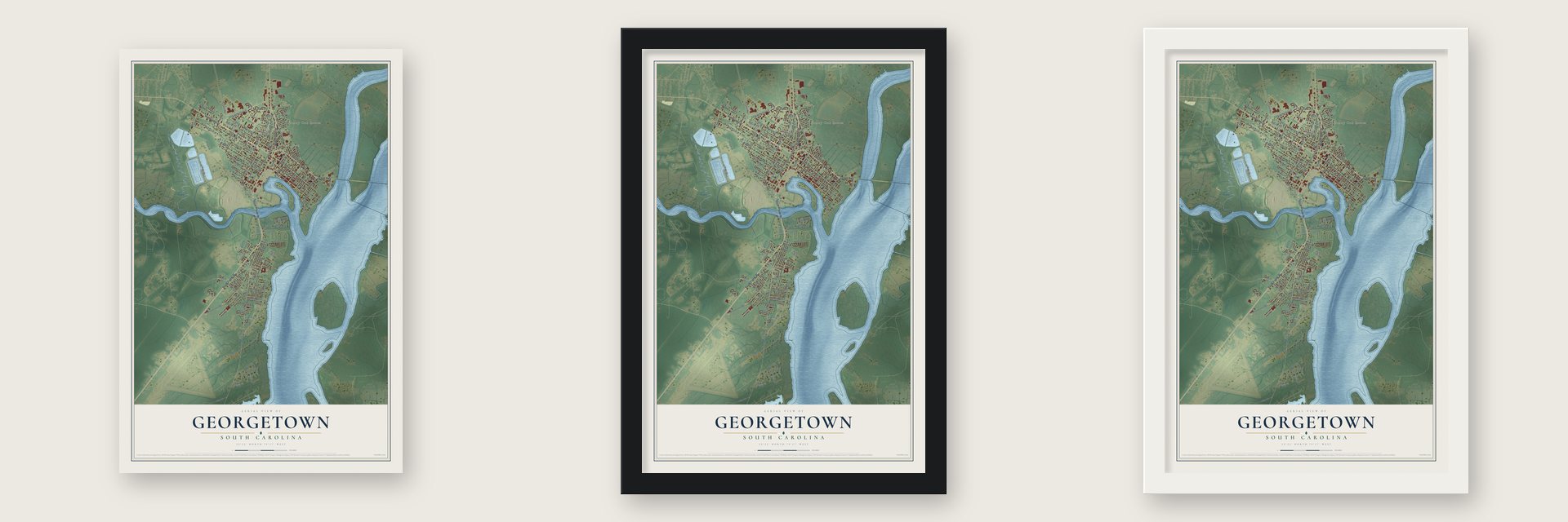
Unframed archival matte, a black wood frame or a white wood frame.
Up close
Geography Worth Displaying
This map was created using accurate cartographic data and authoritative geographic sources, including the U.S. Geological Survey and the Census Bureau. The map brings together terrain, waterways, roads, and building detail. The majority of the streets are labeled, houses are accurately depicted, and the topography is derived from government sources. Combining local data with carefully composed color and shading leads to this beautifully detailed Georgetown artwork for your wall.
Rather than simply showing street outlines, we’ve included as many of the street names as we could reasonably fit on the map while keeping their names legible. Zoom in on the high resolution preview to see exactly what’s on the map. We truly set out to create a statement piece for anyone who loves Georgetown. So whether it’s for you, or a gift for someone you love, we hope this map of Georgetown brings back fond memories.
Read the story behind this map of Georgetown, South Carolina from 2026.

About Georgetown, South Carolina
Georgetown is a city of 8,403 people and the seat of Georgetown County, where four rivers, the Sampit, the Waccamaw, the Black and the Great Pee Dee, come together at Winyah Bay. English settlers asked the colonial government for a parish of their own, and by 1721 they had one, called Prince George, Winyah. In 1729 Elisha Screven laid out a town on the Sampit River as a grid four blocks by eight, and that grid still carries its first street names and lot numbers.
Planters around the town grew indigo first and rice second, on land worked by enslaved Africans and African Americans. After the Revolution rice took over, and enslaved laborers built dams, gates and canals to flood and drain the fields along the rivers. By 1840 the Georgetown District grew nearly half of the nation's rice, and its port shipped more rice than any other in the world. The crop never recovered after the Civil War ended slavery, and rice was grown commercially only until about 1910.
- A school paid for in indigoIndigo brought such profits between 1735 and 1775 that the Winyah Indigo Society, whose members paid their dues in indigo, opened a school in 1757. It was the first public school for white children anywhere between Charles Town and Wilmington. The Winyah Indigo School joined the National Register in 1988.
- A signer and the Swamp FoxThomas Lynch Jr., a Georgetown planter, signed the Declaration of Independence. In the last years of the war the town's port kept General Nathanael Greene's army supplied, while Francis Marion, the Swamp Fox, led guerrilla raids nearby.
- Joseph H. RaineyDuring Reconstruction, Joseph Haynes Rainey was among several African Americans from Georgetown who went to the state legislature for Georgetown County. In 1880 Republican African Americans and white Democrats agreed to a fusion arrangement for choosing officials, but Jim Crow laws later shut Black voters out of elections and office. Rainey's house in Georgetown joined the National Register in 1984.
- The East Coast's biggest lumber millAs rice failed, the town turned to wood. By 1900 several lumber mills ran on the Sampit River, and the Atlantic Coast Lumber Company's mill here was the biggest on the East Coast. Historian Mac McAlister dates Georgetown's peak as a lumber port to around 1905. The company went bankrupt early in the Great Depression, which left almost everyone in town out of work.
- The world's largest paper millJobs came back in 1936, when International Paper's Southern Kraft Division opened a mill in Georgetown after the lumber company's collapse. By 1944 that mill was the largest in the world.
Find your street
Names on the Georgetown map
Every name below is printed on this map. Look for your street, your school, the park where you played, or the pond down the road.
Places and landmarks3
- Country Club Estates
- Steele Town
- Maryville
Streets and roads143
- South Fraser Street
- Ocean Highway
- Church Street
- Highmarket Street
- North Fraser Street
- South Merriman Road
- North Merriman Road
- South Kaminski Street
- Alex Alford Drive
- Hill Street
- Duke Street
- South Bay Street
- Aviation Boulevard
- Dock Street
- Loblolly Drive
- County Road S-22-18
- South Island Road
- Prince Street
- Front Street
- Ridge Street
- Old Charleston Road
- Cravens Street
- Winyah Street
- Emanuel Street
- North Congdon Street
- Anthuan Maybank Drive
- North Hazard Street
- Ip Canal Road
- Black River Road
- Oak Street
Show all 143 streets
- Greenwich Drive
- Gilbert Street
- East Bay Street
- West Church Street
- Wood Street
- Palm Street
- Washington Street
- Huger Drive
- Bayview Drive
- Butts Street
- South Hazard Street
- Plantation Boulevard
- Rion Street
- Martin Street
- Dargan Street
- Meeting Street
- Helena Street
- Donham Avenue
- Palmetto Street
- Cannon Street
- West Front Street
- Orange Street
- Queen Street
- Bourne Street
- Indigo Avenue
- Oakley Street
- Lafayette Street
- Screven Street
- Broad Street
- King Street
- Dozier Street
- Golf Drive
- Beck Street
- Rainey Drive
- Legion Street
- Wayne Street
- Pyatt Street
- Grimes Street
- Loril Street
- Withers Street
- Olive Street
- Brave Drive
- Lincoln Street
- Ward Street
- Leon Street
- Park Street
- Beaty Street
- Horry Street
- Mayer Street
- Lee Street
- Kaufman Street
- Lynch Street
- State Street
- Fern Street
- Tarbox Street
- Oaks Bay Drive
- Poplar Street
- Hawkins Street
- Saint James Street
- Industrial Drive
- Elizabeth Street
- Oak Lawn Road
- Cleland Street
- Rosemary Street
- South Congdon Street
- Cedar Street
- Whitton Street
- Montford Road
- Charlton Boulevard
- Asbury Street
- Hines Street
- Marina Drive
- Charlotte Street
- Mary Hines Lane
- Hampton Street
- Rice Street
- Greenwich Street
- Sloan Street
- Violet Street
- Shade Street
- Maple Street
- Fogel Street
- Falcon Street
- Shop Wall
- Farrelly Street
- Ash Street
- Birch Street
- East Street
- Merriman Road
- Seaport Circle
- Railroad Avenue
- Lucas Street
- Britt Street
- Brinkley Street
- Cuttino Street
- Power Avenue
- Commanders Island Road
- Reservoir Street
- Lakeside Drive
- Collins Street
- River Road
- Harbor Street
- West Street
- Willowbank Road
- Bonds Street
- Lagrange Road
- Tulip Street
- River Walk Drive
- Grain Field Drive
- Cooper Street
- Heirloom Way
- Venture Drive
- Pate Court
Names are listed as they appear on the printed map. Zoom into the product photos to find them.
The art of mapping a place
How This Map Was Made
Real places. Remarkable detail. Discover the layers that turn geographic data into a map of home.

The view from above
Aerial imagery reveals the character of the land: woodland, open fields, and the patterns of a place.

The shape of the land
Elevation data brings hills, valleys, and subtle changes in the landscape into view.

The details of home
Roads, waterways, and building footprints come together to make the map feel unmistakably local.

Geography becomes art
Considered color, shading, and typography bring the layers together in a map made for your wall.


Process illustrated with Mendon, Massachusetts. Aerial imagery: USDA NAIP. Terrain: USGS 3D Elevation Program. Map details and finished artwork: KNOWOL.
The Details
About This Print
Choose an archival matte print, or a black or white Ayous wood frame. The archival matte print is unframed.
Select your size and finish above to see the matching product image and price.
Materials & Craftsmanship
A contemporary map with the character of a classic atlas, printed on archival matte paper. Optional frames are made from Ayous wood.
Your printed map does not include the watermark shown in the full-map preview.
Shipping & Delivery
Free shipping within the United States. Every print is made to order in the USA.
Buying a gift? Add a note in your cart and we'll include it. We never put prices in the package.
Prints ship within 2 to 3 business days. Allow 7 to 10 days total from ordering for delivery. Timing may vary during holidays or periods of high order volume.
Read our shipping policy.
Returns and damaged prints
Each print is made to order. Change-of-mind refunds are not available after production.
If your print arrives damaged, misprinted or incorrect, contact support@knowol.com within 30 days of receiving it. Include your order number, photos and a description of the issue.
Read our full refund and replacement policy. For questions about your order, email support@knowol.com.
Find your town
Looking for another city?
Find a map of home in our South Carolina collection, or any town in the country.
Nearby
Maps of towns near Georgetown
Know someone from one of these towns? Their map makes a great gift.
 DeBordieu Colony
, South Carolina
From $39.99See the map
 Pawleys Island
, South Carolina
From $39.99See the map
 Litchfield Beach
, South Carolina
From $39.99See the map
More maps nearby: Dunbar, Andrews, Murrells Inlet, Garden City and McClellanville.