
Search for another town





Free U.S. delivery 7 to 10 days after you order
Gloucester City, New Jersey Map Art
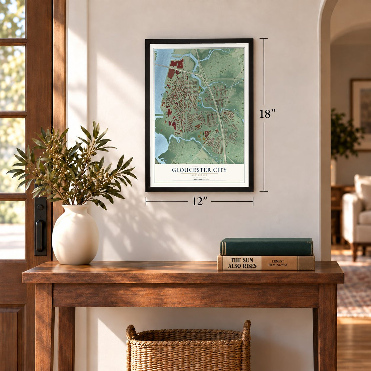
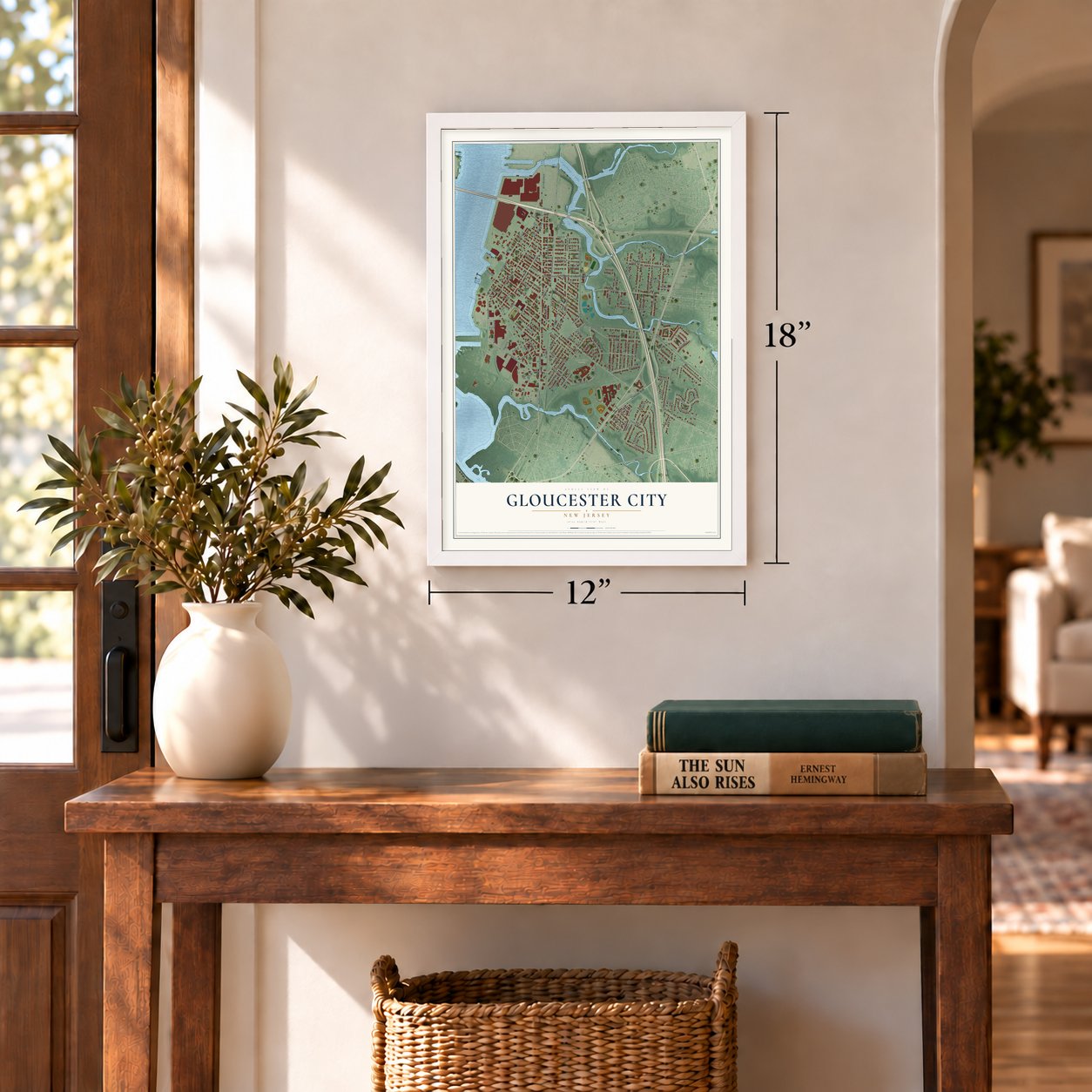
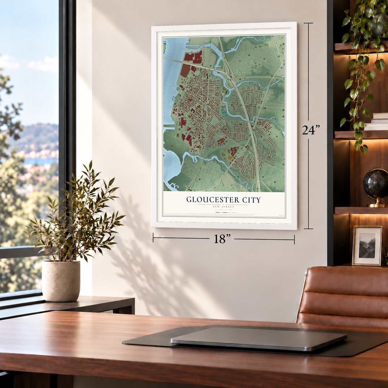
A new map of Gloucester City, New Jersey, made in 2026 and printed to order on thick archival matte paper.
12" x 18" Archival Matte Print
A Map of Home. A Work of Art.
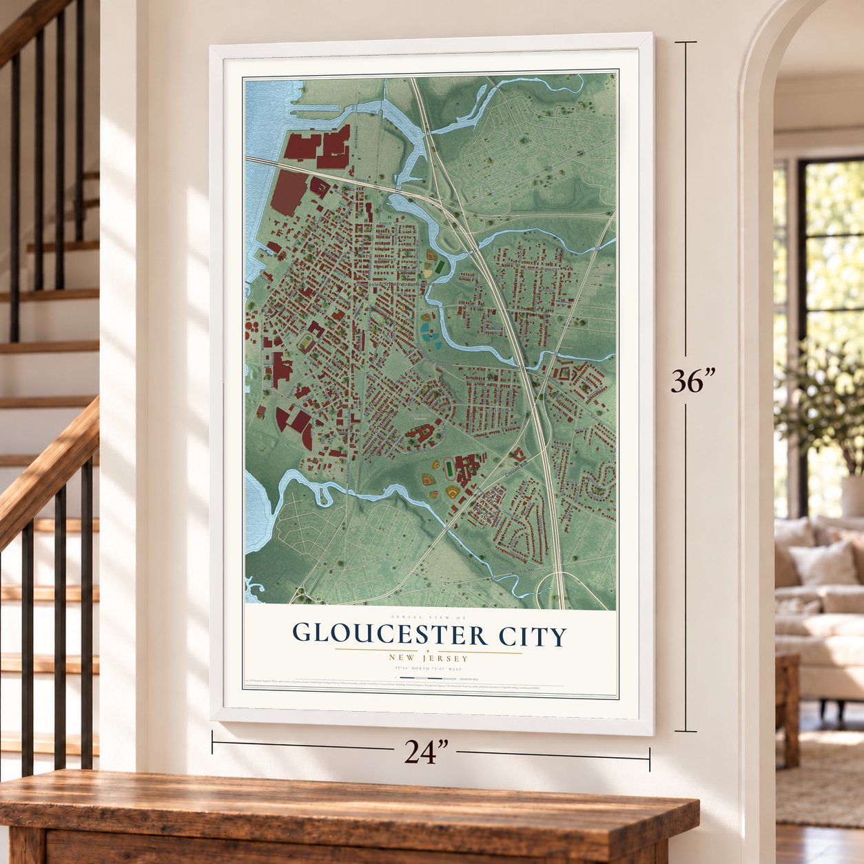
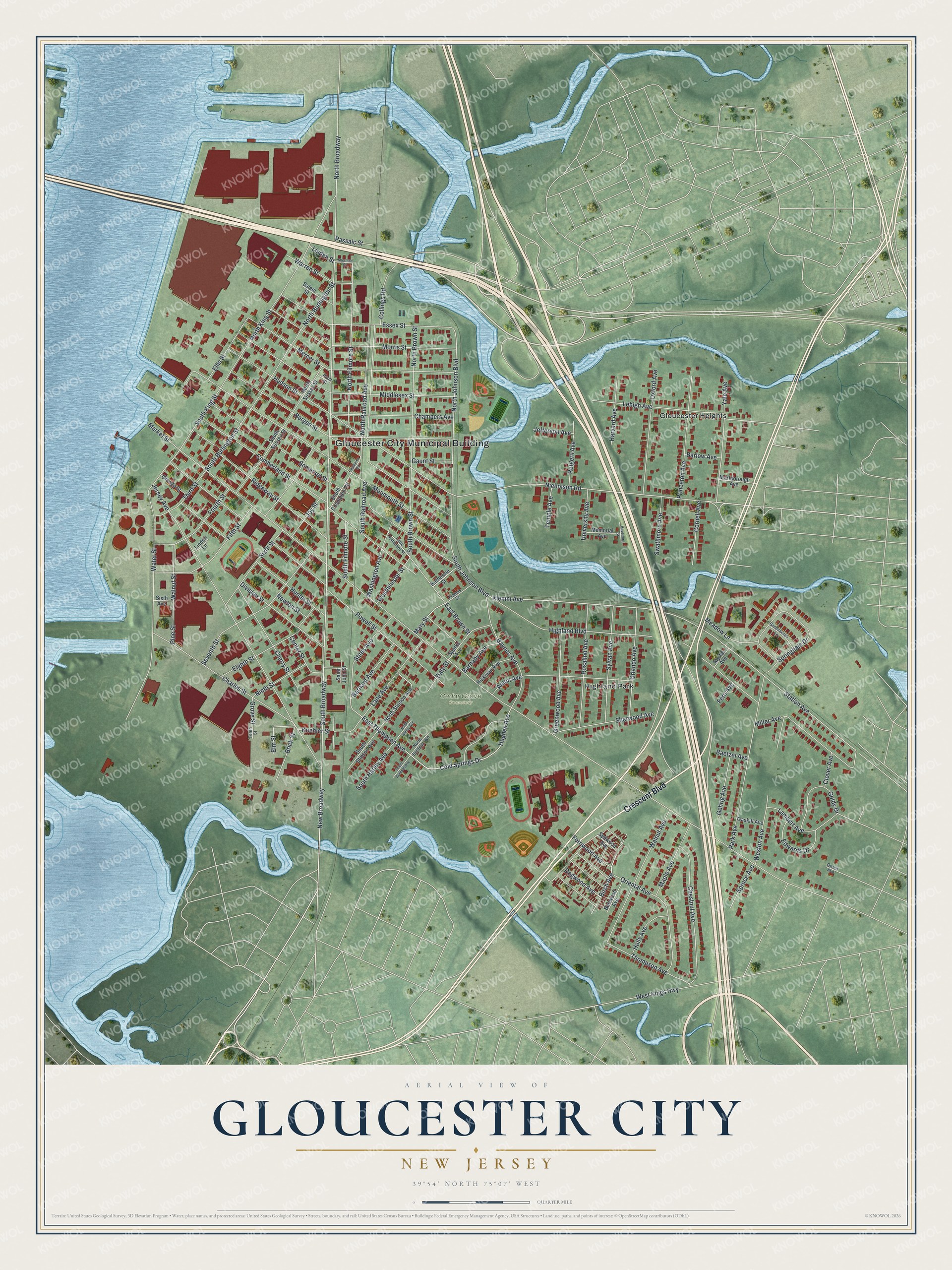
Explore Gloucester City, New Jersey from a whole new perspective. Created using aerial imagery and detailed geographic data, this map captures Gloucester City building by building, with labeled streets, familiar landmarks, and shaded topographical relief that highlights the natural contours of the landscape.
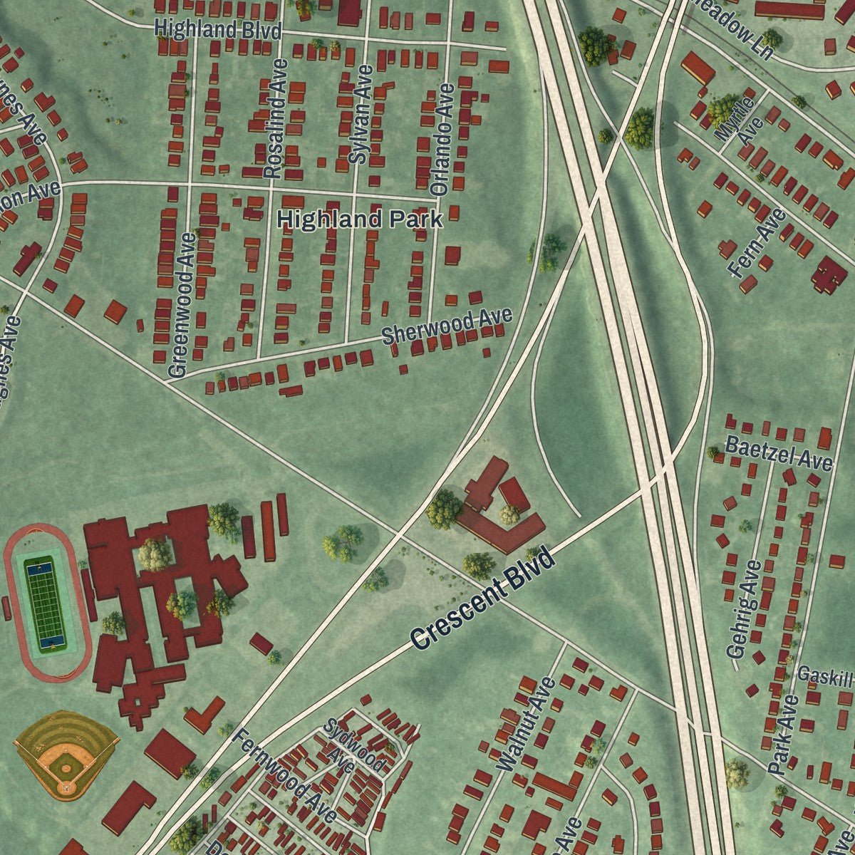
Combining modern data with the timeless character of a vintage atlas, this map is just as interesting up close as it is beautiful on the wall. Whether you grew up in Gloucester City, spent memorable years there, or call it home today, this unique map is a great way to celebrate a place that means something to you. Zoom in on the preview to look for your street, and then order a print to put your memories on the wall.
Three ways to hang it
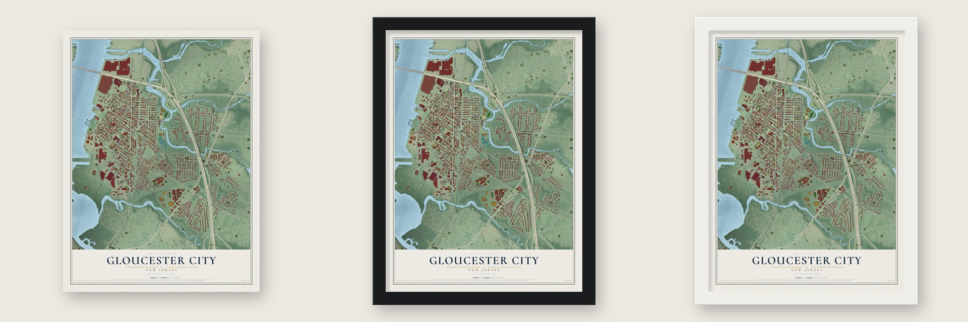
Unframed archival matte, a black wood frame or a white wood frame.
Up close
Geography Worth Displaying
This map was created using accurate cartographic data and authoritative geographic sources, including the U.S. Geological Survey (USGS) and FEMA. The map brings together terrain, waterways, roads, and building detail. The majority of the streets are labeled, houses are accurately depicted, and the topography is derived from government sources. Combining local data with carefully composed color and shading leads to this beautifully detailed Gloucester City artwork for your wall.
Rather than simply showing street outlines, we’ve included as many of the street names as we could reasonably fit on the map while keeping their names legible. Zoom in on the high resolution preview to see exactly what’s on the map. We truly set out to create a statement piece for anyone who loves Gloucester City. So whether it’s for you, or a gift for someone you love, we hope this map of Gloucester City brings back fond memories.
Explore the full map of Gloucester City, New Jersey and read about the local places it shows.

About Gloucester City, New Jersey
Gloucester City is a city of 11,484 people in Camden County, on the Delaware River facing Philadelphia. In the 1620s the Dutch built a trading post here called Fort Nassau, named for the House of Orange-Nassau, and traded mostly for beaver pelts with the Susquehannock and Lenape. From 1638 to 1655 the land belonged to New Sweden. The best fur country lay on the west bank, where the Swedes could cut off the trade, so in 1651 the Dutch leader Peter Stuyvesant took the fort apart and moved across the river, naming his new post Fort Casimir.
English Quakers reached the Delaware in 1677 and founded a lasting settlement on this site, first called Axwamus. Surveyors laid out its town plan in 1689. The New Jersey Legislature made Gloucester City a city on February 25, 1868, from what was left of Union Township, which was then dissolved, and the name came from Gloucester, England. The city grew in 1925 by annexing part of Centre Township, then added a piece of Haddon Township in 1927.
- Sunday baseball, 1888 to 1890The Philadelphia Athletics played some of their games at Gloucester Point Grounds from 1888 to 1890. They crossed the river on Sundays because Philadelphia's blue laws kept them from playing at home that day.
- Annie Oakley at the PointOn July 2, 1888, Annie Oakley performed at the Gloucester Point Grounds grandstand, beside Gloucester Beach, with the Pawnee Bill Frontier Exhibition. She came back for more shows in 1898. In 1889 the champion boxer John L. Sullivan faced the Greco-Roman wrestling champion William Muldoon in an exhibition match in Gloucester.
- Born here in 1890James Barton was born in Gloucester City in 1890 to a family of theater people. His first Broadway role came in The Passing Show of 1919, and he later acted on stage in The Iceman Cometh and Paint Your Wagon, then on television in Studio One, Playhouse 90 and The Rifleman.
- An Irish American cityGloucester City is known for its Irish American community. In the 2000 census, its share of residents with Irish roots ranked ninth-highest of any place in the United States.
Find your street
Names on the Gloucester City map
Every name below is printed on this map. Look for your street, your school, the park where you played, or the pond down the road.
Places and landmarks4
- Gloucester City Municipal Building
- Cedar Grove Cemetery
- Gloucester Heights
- Highland Park
Streets and roads147
- Crescent Boulevard
- New Broadway
- South Broadway
- Klemm Avenue
- Station Avenue
- South Johnson Boulevard
- Cold Springs Drive
- Hughes Avenue
- Thompson Avenue
- East Thompson Avenue
- Birch Avenue
- North Broadway
- South Brown Street
- Hudson Street
- Nicholson Road
- North Johnson Boulevard
- Oriental Avenue
- South King Street
- South Burlington Street
- Koehler Street
- Market Street
- Jersey Avenue
- Monmouth Street
- Powell Street
- Park Avenue
- Somerset Street
- Cumberland Street
- Bergen Street
- Highland Boulevard
- Water Street
Show all 147 streets
- Ridgeway Street
- Middlesex Street
- North King Street
- Mercer Street
- North Railroad Avenue
- Morris Street
- North Brown Street
- Essex Street
- Lehigh Avenue
- Hunter Street
- Charles Street
- Springdale Drive
- North Filmore Street
- Seventh Street
- North Burlington Street
- Walnut Avenue
- Chestnut Avenue
- Miller Avenue
- East Brown Street
- Fifth Street
- Oxford Avenue
- Baynes Avenue
- Rosalind Avenue
- Princeton Avenue
- Chambers Avenue
- Lane Avenue
- Yale Avenue
- Eighth Street
- West Kings Highway
- Cherry Street
- Sylvan Avenue
- Orlando Avenue
- Division Street
- Weston Avenue
- Sherwood Avenue
- Greenwood Avenue
- Fourth Street
- Pine Street
- Walnut Street
- Lambert Avenue
- Sixth Street
- Dogwood Avenue
- Collings Road
- Goldy Drive
- Maple Avenue
- Washington Avenue
- Edwards Drive
- Ellis Street
- Warren Street
- Third Street
- Barnard Avenue
- Harvard Avenue
- Rutgers Avenue
- Gehrig Avenue
- Cornell Avenue
- Ninth Street
- Stites Avenue
- Meadow Lane
- South Harley Avenue
- Swathmore Avenue
- Brick Street
- Holly Avenue
- South Filmore Street
- Westminster Street
- South Railroad Avenue
- University Avenue
- Spruce Avenue
- Barnaby Avenue
- Fernwood Avenue
- Joy Street
- Mary Street
- Center Street
- Temple Avenue
- Gaunt Street
- Jefferson Avenue
- Daly Street
- Passaic Street
- Barlow Avenue
- Newton Street
- Amon Avenue
- Clover Avenue
- Baetzel Avenue
- Linden Street
- Grove Street
- Elm Street
- Fern Avenue
- North Stinson Avenue
- South Sussex Street
- North Sussex Street
- Sparks Avenue
- Saint John Street
- South Stinson Avenue
- Hickman Avenue
- South Champion Road
- Salem Street
- Marlborough Avenue
- Memorial Avenue
- Bobwood Avenue
- Orange Street
- Katherine Street
- Gaskill Avenue
- Myrtle Avenue
- Sydwood Avenue
- Sixth Avenue
- Linden Lane
- Little Somerset Street
- Greenacres Lane
- Francis Street
- North Burdsall Avenue
- Plum Street
- Tenth Street
- Green Avenue
- Champion Road
- Sherman Street
- South Burdsall Avenue
- North Harley Avenue
- Haverford Street
Names are listed as they appear on the printed map. Zoom into the product photos to find them.
The art of mapping a place
How This Map Was Made
Real places. Remarkable detail. Discover the layers that turn geographic data into a map of home.

The view from above
Aerial imagery reveals the character of the land: woodland, open fields, and the patterns of a place.

The shape of the land
Elevation data brings hills, valleys, and subtle changes in the landscape into view.

The details of home
Roads, waterways, and building footprints come together to make the map feel unmistakably local.

Geography becomes art
Considered color, shading, and typography bring the layers together in a map made for your wall.


Process illustrated with Mendon, Massachusetts. Aerial imagery: USDA NAIP. Terrain: USGS 3D Elevation Program. Map details and finished artwork: KNOWOL.
The Details
About This Print
Choose an archival matte print, or a black or white Ayous wood frame. The archival matte print is unframed.
Select your size and finish above to see the matching product image and price.
Materials & Craftsmanship
A contemporary map with the character of a classic atlas, printed on archival matte paper. Optional frames are made from Ayous wood.
Your printed map does not include the watermark shown in the full-map preview.
Shipping & Delivery
Free shipping within the United States. Every print is made to order in the USA.
Buying a gift? Add a note in your cart and we'll include it. We never put prices in the package.
Prints ship within 2 to 3 business days. Allow 7 to 10 days total from ordering for delivery. Timing may vary during holidays or periods of high order volume.
Read our shipping policy.
Returns and damaged prints
Each print is made to order. Change-of-mind refunds are not available after production.
If your print arrives damaged, misprinted or incorrect, contact support@knowol.com within 30 days of receiving it. Include your order number, photos and a description of the issue.
Read our full refund and replacement policy. For questions about your order, email support@knowol.com.
Find your town
Looking for another city?
Find a map of home in our New Jersey collection, or any town in the country.
Nearby
Maps of towns near Gloucester City
Know someone from one of these towns? Their map makes a great gift.
 Brooklawn
, New Jersey
From $39.99See the map
 Audubon Park
, New Jersey
From $39.99See the map
 Mount Ephraim
, New Jersey
From $39.99See the map
More maps nearby: Westville, Woodlynne, Oaklyn, Bellmawr and Audubon.