
Search for another town


Free U.S. delivery 7 to 10 days after you order
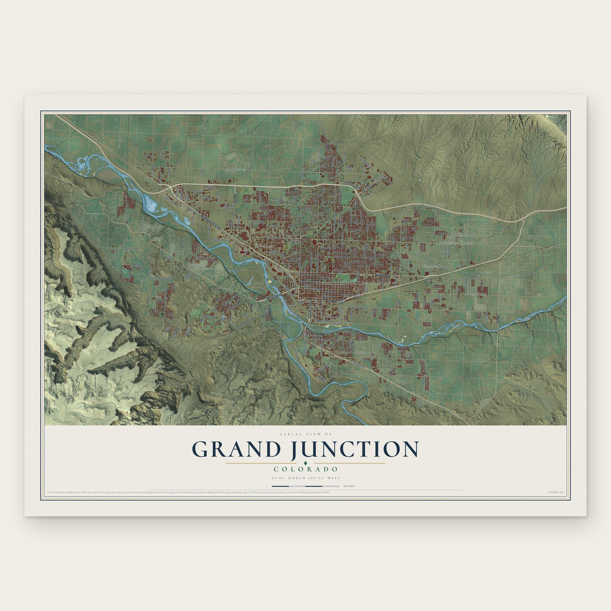
Grand Junction, Colorado Map Art
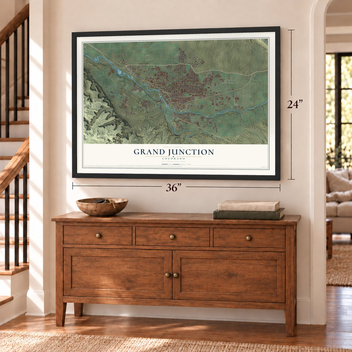
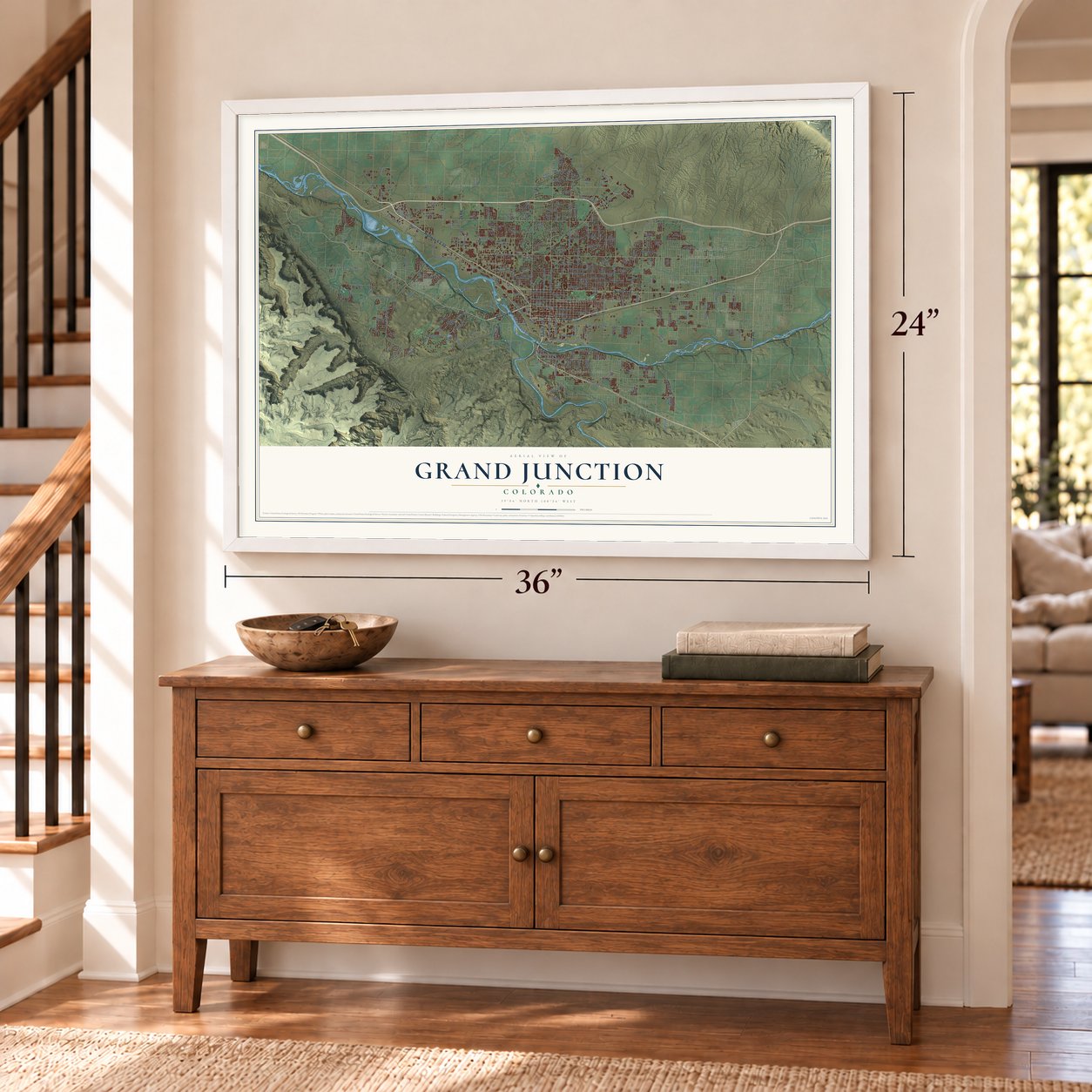
A new map of Grand Junction, Colorado, made in 2026 and printed to order on thick archival matte paper.
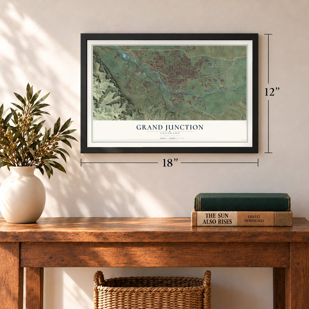
12" x 18" Archival Matte Print
A Map of Home. A Work of Art.
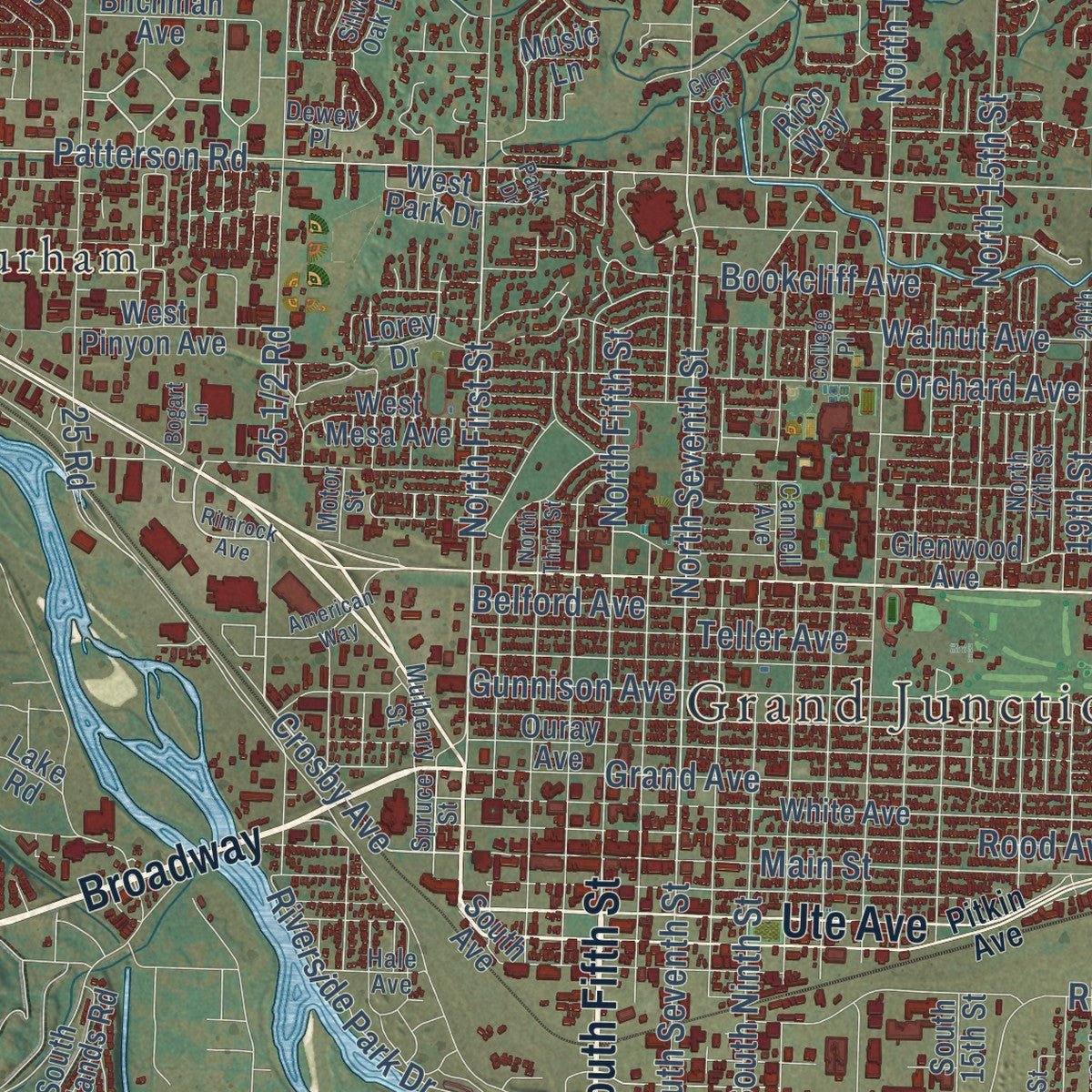
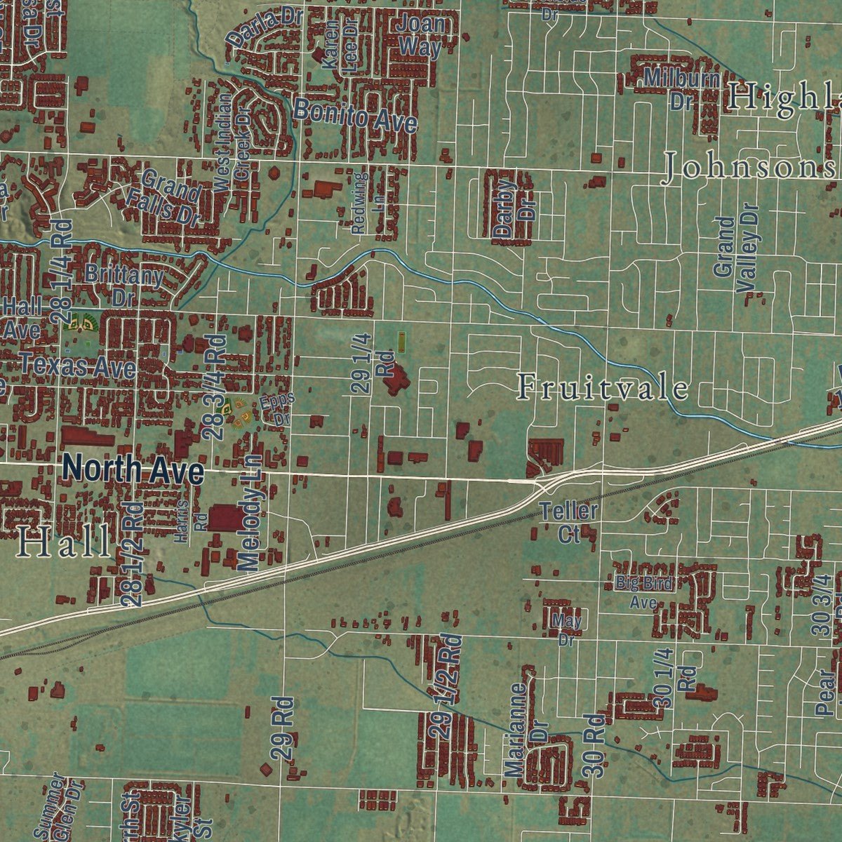
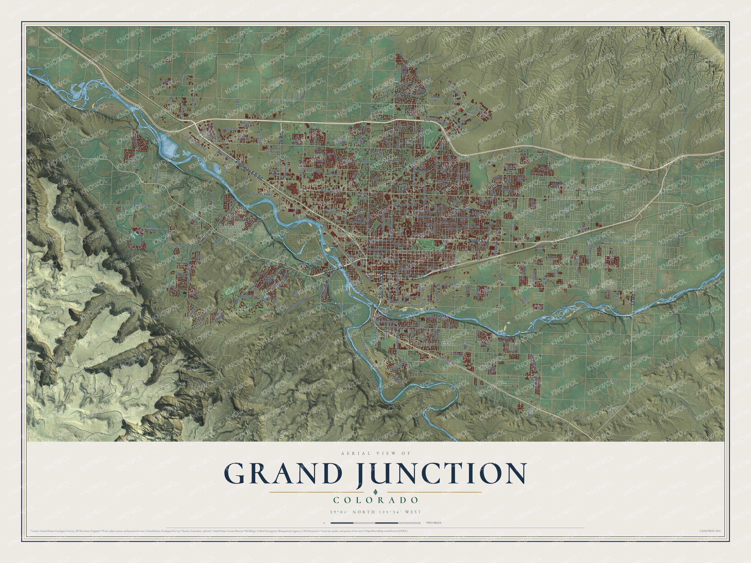
Explore Grand Junction, Colorado from a whole new perspective. Created using aerial imagery and detailed geographic data, this map captures Grand Junction building by building, with labeled streets, familiar landmarks, and shaded topographical relief that highlights the natural contours of the landscape.
Combining modern data with the timeless character of a vintage atlas, this map is just as interesting up close as it is beautiful on the wall. Whether you grew up in Grand Junction, spent memorable years there, or call it home today, this unique map is a great way to celebrate a place that means something to you. Zoom in on the preview to look for your street, and then order a print to put your memories on the wall.
Three ways to hang it
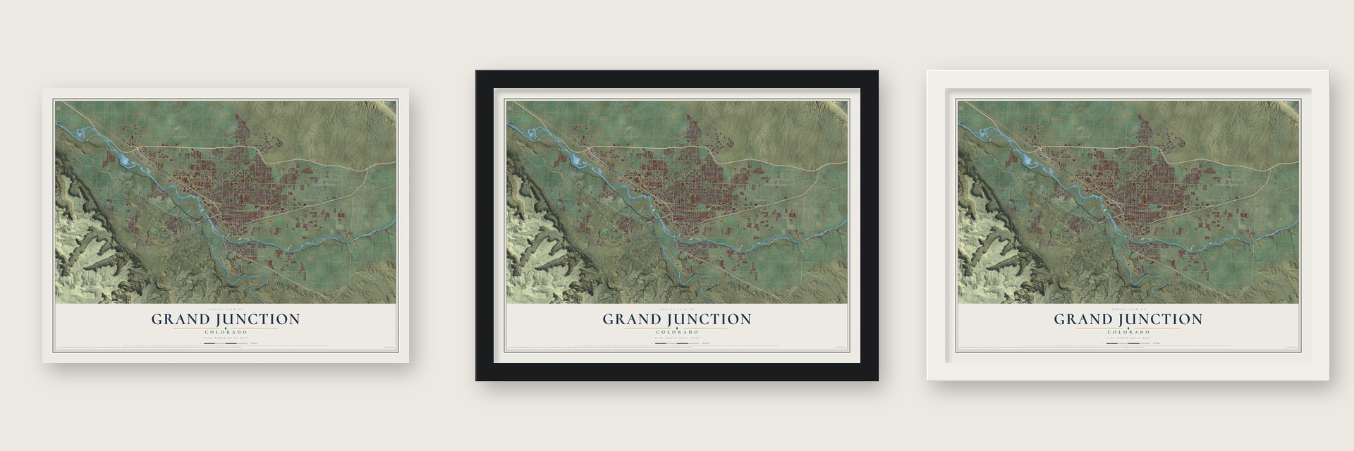
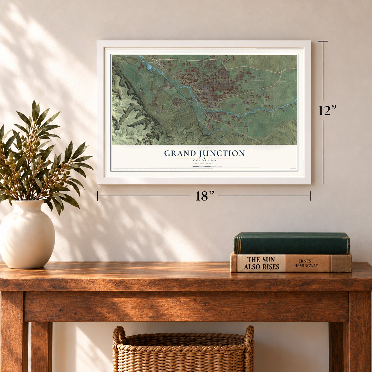
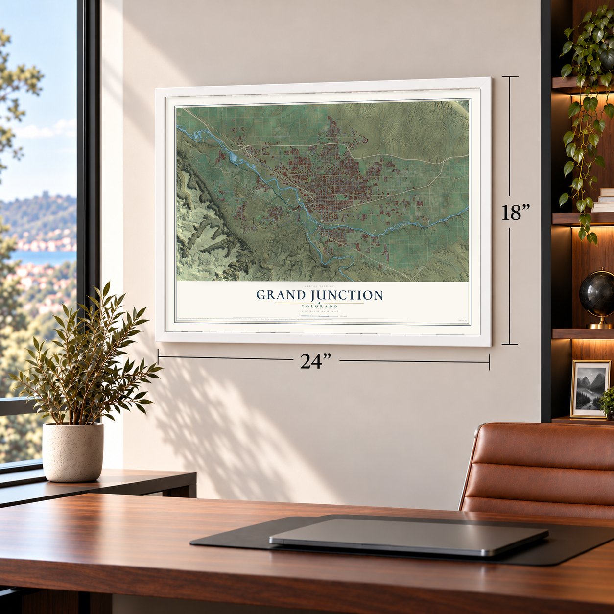
Unframed archival matte, a black wood frame or a white wood frame.
Up close
Geography Worth Displaying
This map was created using accurate cartographic data and authoritative geographic sources, including the U.S. Geological Survey and the Census Bureau. The map brings together terrain, waterways, roads, and building detail. The majority of the streets are labeled, houses are accurately depicted, and the topography is derived from government sources. Combining local data with carefully composed color and shading leads to this beautifully detailed Grand Junction artwork for your wall.
Rather than simply showing street outlines, we’ve included as many of the street names as we could reasonably fit on the map while keeping their names legible. Zoom in on the high resolution preview to see exactly what’s on the map. We truly set out to create a statement piece for anyone who loves Grand Junction. So whether it’s for you, or a gift for someone you love, we hope this map of Grand Junction brings back fond memories.
Read the story behind this map of Grand Junction, Colorado from 2026.
About Grand Junction, Colorado
Grand Junction is a city of 65,560 people and the seat of Mesa County, where the Gunnison River flows into the Colorado. The name describes that meeting of waters, because the upper Colorado was called the Grand River until 1921. Before the town took its name, the settlement was known as Ute and, for a short time, West Denver.
The valley opened to settlers only after September 1881, when the federal government abolished the Ute territory and moved the Utes onto a reservation. George Addison Crawford, a native of Pennsylvania, bought land soon afterward and incorporated the town on July 22, 1882. That same year the narrow gauge Denver and Rio Grande arrived from Pueblo by way of Gunnison. A standard gauge line followed from New Castle in 1890, and the two railroads brought a wave of new settlers.
“I think that was a definite turning point, and it was a reminder that we were a boom-and-bust state ... There were parallels to the silver crash of 1893.”
- Colorado's first vineyardCrawford planted the state's first vineyard near Palisade. From the 1880s to the 1960s, farming, fruit and cattle carried the valley's economy. Canals carried Colorado River water to orchards of peaches, pears, apricots, plums and cherries, and since the 1980s growers have added wine grapes.
- The Rio Grande's townThe Denver and Rio Grande bought a large share of the town company's stock. It also bought land southwest of First Street and Pitkin Avenue for a repair shop and switchyard, and it grew into one of the city's biggest employers. Its Denver and Rio Grande Western Railroad Depot joined the National Register in 1992.
- A sugar factory in 1899In 1899 John F. Campion, Charles Boettcher and other investors formed the Colorado Sugar Manufacturing Company and hired E. H. Dyer to build a beet sugar factory here. Their company failed, so they sold the plant to local owners, who made it pay. The Campion and Boettcher group went on to create the Great Western Sugar Company.
- Uranium sand in the wallsThe Climax Uranium Mill supplied ore to the U.S. Atomic Energy Commission and left behind 2.2 million tons of tailings. For decades residents could haul away as much of the fine gray radioactive sand as they liked, free of charge, and builders used it in construction all over town.
- Black Sunday, 1982The oil embargoes of the 1970s drew Exxon to the oil shale near Parachute, and the company ran its operations from Grand Junction while the valley prospered. On May 2, 1982, Exxon's president phoned Governor Richard Lamm to say the company was cutting its losses. Exxon had put more than $5 billion into Colorado, and the bust that followed was felt across the state.
Find your street
Names on the Grand Junction map
Every name below is printed on this map. Look for your street, your school, the park where you played, or the pond down the road.
Places and landmarks9
- Grand Junction City Hall
- Johnsons Corner
- Appleton
- Durham
- Fruitvale
- Highland Park
- Orchard Mesa
- Pear Park
- Redlands
Streets and roads230
- Highway 6 & 50
- North Avenue
- Broadway
- South Fifth Street
- Ute Avenue
- 24 Road
- 32 Road
- 26 Road
- Bookcliff Avenue
- North Seventh Street
- North First Street
- Crosby Avenue
- Pinon Street
- Patterson Road
- Riverside Parkway
- 29 Road
- River Road
- Orchard Avenue
- 30 Road
- South Broadway
- North Twelfth Street
- Frontage Road
- Unaweep Avenue
- 23 Road
- 25 Road
- Gunnison Avenue
- Horizon Drive
- West Ridges Boulevard
- Elm Avenue
- Walnut Avenue
Show all 230 streets
- Texas Avenue
- Redlands Parkway
- 27 Road
- Grand Avenue
- South Camp Road
- North 15th Street
- 28 Road
- Monument Road
- East Road
- Mesa Avenue
- Rood Avenue
- Teller Avenue
- Main Street
- Belford Avenue
- North Fifth Street
- 22 Road
- Crossroads Boulevard
- Santa Clara Avenue
- Winters Avenue
- South Seventh Street
- South Ninth Street
- Melody Lane
- Riverside Park Drive
- 31 Road
- Acrin Court
- Lanai Drive
- 19th Street
- Linden Avenue
- Cheyenne Drive
- Ridgeway Drive
- Railroad Avenue
- Bonito Avenue
- Indian Road
- Golfmore Drive
- Market Street
- Apex Avenue
- Spyglass Drive
- Pine Street
- Ash Drive
- Kimball Avenue
- Duffy Drive
- Scarlet Drive
- 22nd Street
- Frontier Street
- Valley Court
- Logos Court
- Kia Drive
- 21 Road
- Roundup Drive
- Myrrh Street
- Hall Avenue
- White Avenue
- Ouray Avenue
- Ridge Drive
- Glenwood Avenue
- Applewood Street
- East Main Street
- South Avenue
- North 23rd Street
- South Rim Drive
- Aviators Way
- Dike Road
- Ridge Circle Drive
- Hawthorne Avenue
- Landingview Lane
- Mariposa Drive
- South Redlands Road
- Bangs Canyon Drive
- Music Lane
- East Dakota Drive
- Sanford Drive
- West Pinyon Avenue
- Grand Falls Drive
- Mountain View Street
- Piazza Way
- Brodick Way
- Catalina Drive
- Riverfront Drive
- West Mesa Avenue
- Seasons Drive
- Hillview Drive
- East Pagosa Drive
- Blichman Avenue
- Interstate Avenue
- Central Drive
- Desert Hills Road
- Estates Boulevard
- Bahamas Way
- Santa Fe Drive
- Grand Valley Drive
- South 15th Street
- Westwood Drive
- Night Hawk Drive
- Brittany Drive
- Trail Ridge Road
- Colex Drive
- Grand Vista Way
- Marianne Drive
- Rosevale Road
- Dakota Drive
- Tiger Eye Lane
- Lorey Drive
- River Bend Lane
- Glen Caro Drive
- Woody Creek Drive
- Milburn Drive
- Darla Drive
- Seeber Drive
- Galaxy Drive
- Easter Hill Drive
- West Park Drive
- Skyler Street
- Bond Street
- Flower Street
- Vista Hills Drive
- Grand Park Drive
- Leland Avenue
- Galley Lane
- Darby Drive
- Zuni Drive
- Teller Court
- Waite Avenue
- Durant Street
- Joan Way
- Niblic Drive
- Swan Lane
- Hayes Drive
- Rim Drive
- Pear Lane
- Lake Road
- Rico Way
- Pitkin Avenue
- North 17th Street
- 20th Street
- North 26th Street
- Del Mar Drive
- Park Vista Street
- Cannell Avenue
- West Indian Creek Drive
- Aspen Street
- Panorama Drive
- Rana Road
- Bella Pago Drive
- Mulberry Street
- Bonny Street
- Hale Avenue
- Summer Glen Drive
- Green Flash Drive
- Mojo Street
- Spanish Trail Drive
- Corral Drive
- Spruce Street
- Athens Way
- Dahlia Court
- Silver Oak Drive
- Dewey Place
- Karen Lee Drive
- Amber Way
- Motor Street
- Bevill Avenue
- Ridges Boulevard
- Eagle Drive
- Rimrock Avenue
- North Third Street
- Escondido Circle
- 24th Street
- Arlington Drive
- Redcliff Circle
- Grand Mesa Avenue
- Shadow Lake Road
- Bogart Lane
- Standing Rock Drive
- Beaver Lodge
- American Way
- North Crest Drive
- North 28th Street
- Canyon Rim Drive
- East Cliff Drive
- Harris Road
- Brookside Drive
- Epps Drive
- Rock Creek Drive
- Redwing Lane
- Park Drive
- Fenwick Lane
- Kimberly Drive
- College Place
- Big Bird Avenue
- Dahlia Drive
- Everest Street
- Snow Mesa Court
- Green River Drive
- Erika Road
- Mahan Street
- Casa Rio Court
- Eadin Lane
- Link Lane
- Glen Court
- Milo Drive
- May Drive
Names are listed as they appear on the printed map. Zoom into the product photos to find them.
The art of mapping a place
How This Map Was Made
Real places. Remarkable detail. Discover the layers that turn geographic data into a map of home.

The view from above
Aerial imagery reveals the character of the land: woodland, open fields, and the patterns of a place.

The shape of the land
Elevation data brings hills, valleys, and subtle changes in the landscape into view.

The details of home
Roads, waterways, and building footprints come together to make the map feel unmistakably local.

Geography becomes art
Considered color, shading, and typography bring the layers together in a map made for your wall.


Process illustrated with Mendon, Massachusetts. Aerial imagery: USDA NAIP. Terrain: USGS 3D Elevation Program. Map details and finished artwork: KNOWOL.
The Details
About This Print
Choose an archival matte print, or a black or white Ayous wood frame. The archival matte print is unframed.
Select your size and finish above to see the matching product image and price.
Materials & Craftsmanship
A contemporary map with the character of a classic atlas, printed on archival matte paper. Optional frames are made from Ayous wood.
Your printed map does not include the watermark shown in the full-map preview.
Shipping & Delivery
Free shipping within the United States. Every print is made to order in the USA.
Buying a gift? Add a note in your cart and we'll include it. We never put prices in the package.
Prints ship within 2 to 3 business days. Allow 7 to 10 days total from ordering for delivery. Timing may vary during holidays or periods of high order volume.
Read our shipping policy.
Returns and damaged prints
Each print is made to order. Change-of-mind refunds are not available after production.
If your print arrives damaged, misprinted or incorrect, contact support@knowol.com within 30 days of receiving it. Include your order number, photos and a description of the issue.
Read our full refund and replacement policy. For questions about your order, email support@knowol.com.
Find your town
Looking for another city?
Find a map of home in our Colorado collection, or any town in the country.
Nearby
Maps of towns near Grand Junction
Know someone from one of these towns? Their map makes a great gift.
 Orchard Mesa
, Colorado
From $39.99See the map
 Redlands
, Colorado
From $39.99See the map
 Fruitvale
, Colorado
From $39.99See the map
More maps nearby: Clifton, Fruita, Palisade, Loma and De Beque.