
Search for another town


Free U.S. delivery 7 to 10 days after you order
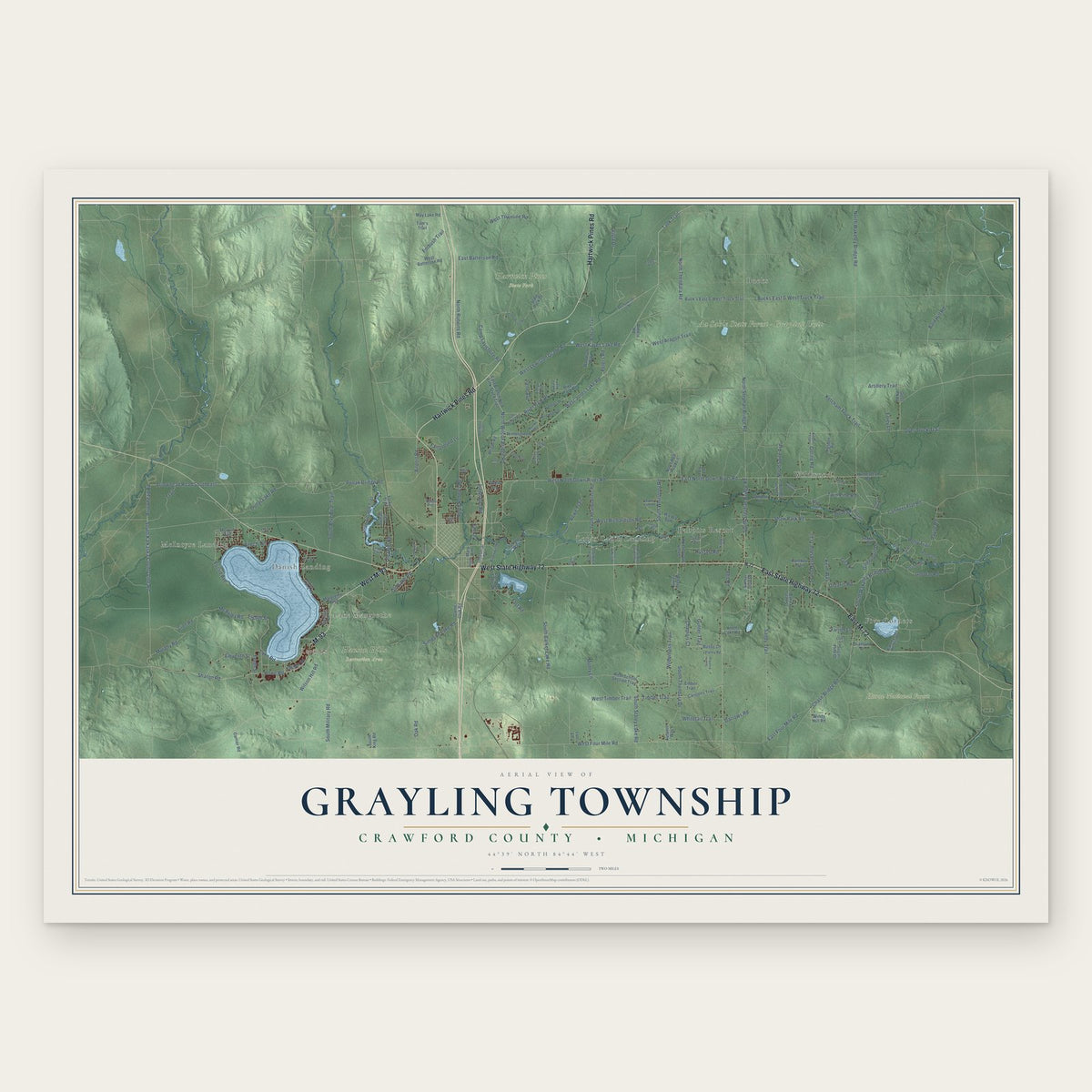
Grayling Township, Michigan Map Art
Building by building, with labeled streets and shaded relief.
12" x 18" Archival Matte Print
A Map of Home. A Work of Art.
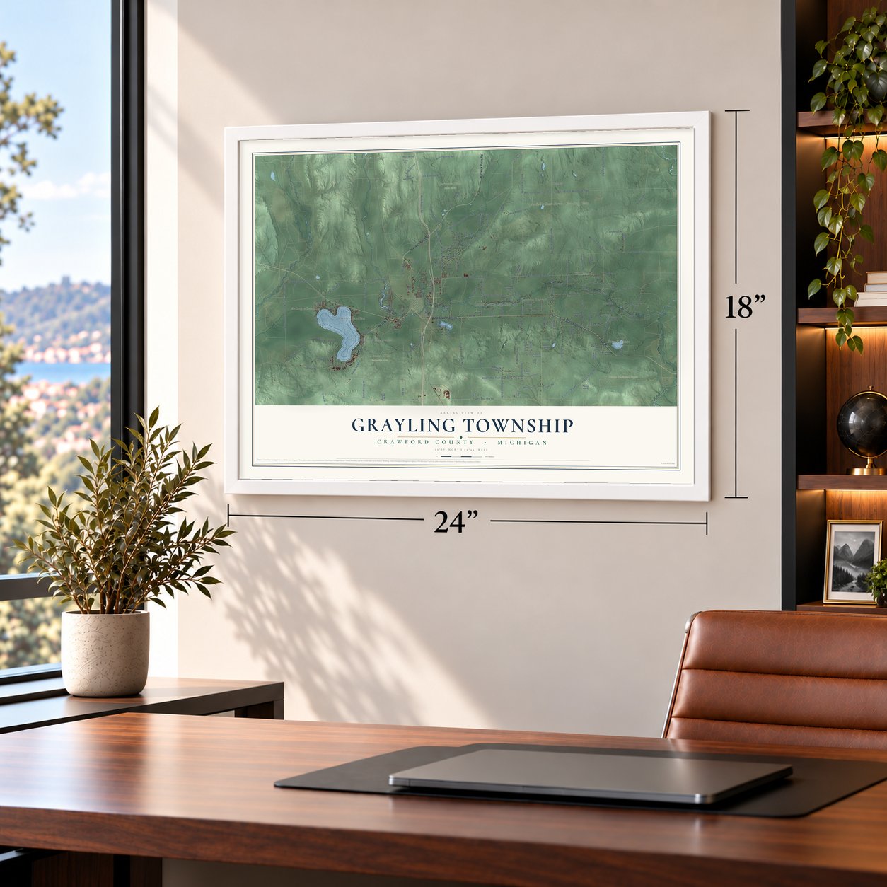
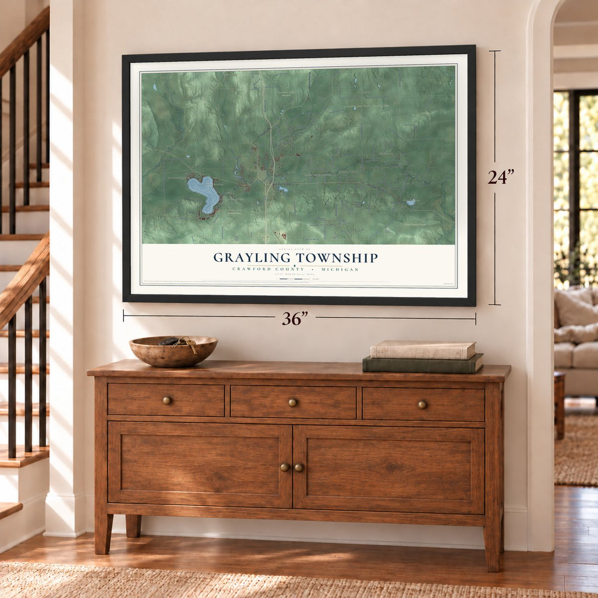
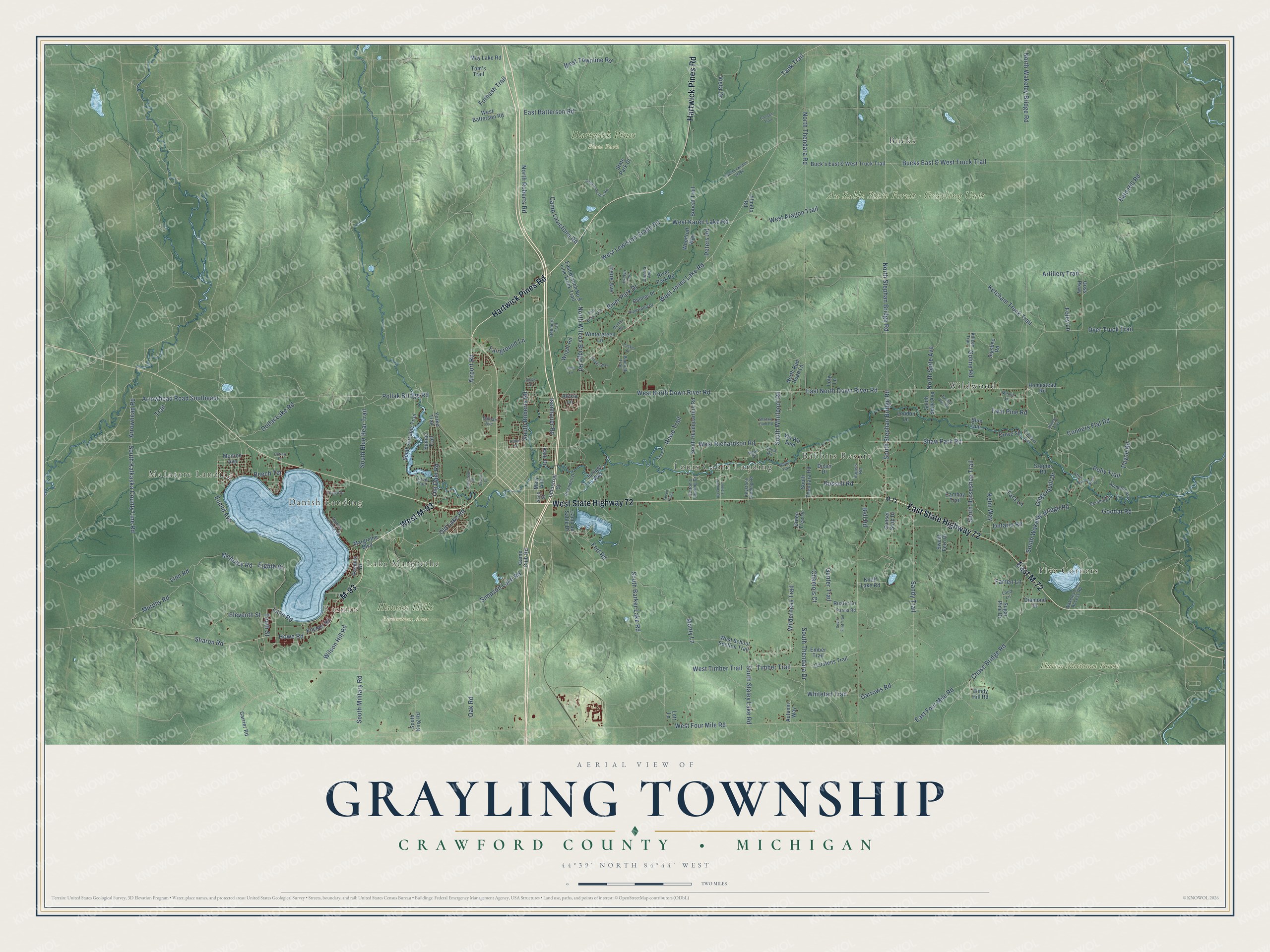
Explore Grayling Township, Michigan from a whole new perspective. Created using aerial imagery and detailed geographic data, this map captures Grayling Township building by building, with labeled streets, familiar landmarks, and shaded topographical relief that highlights the natural contours of the landscape.
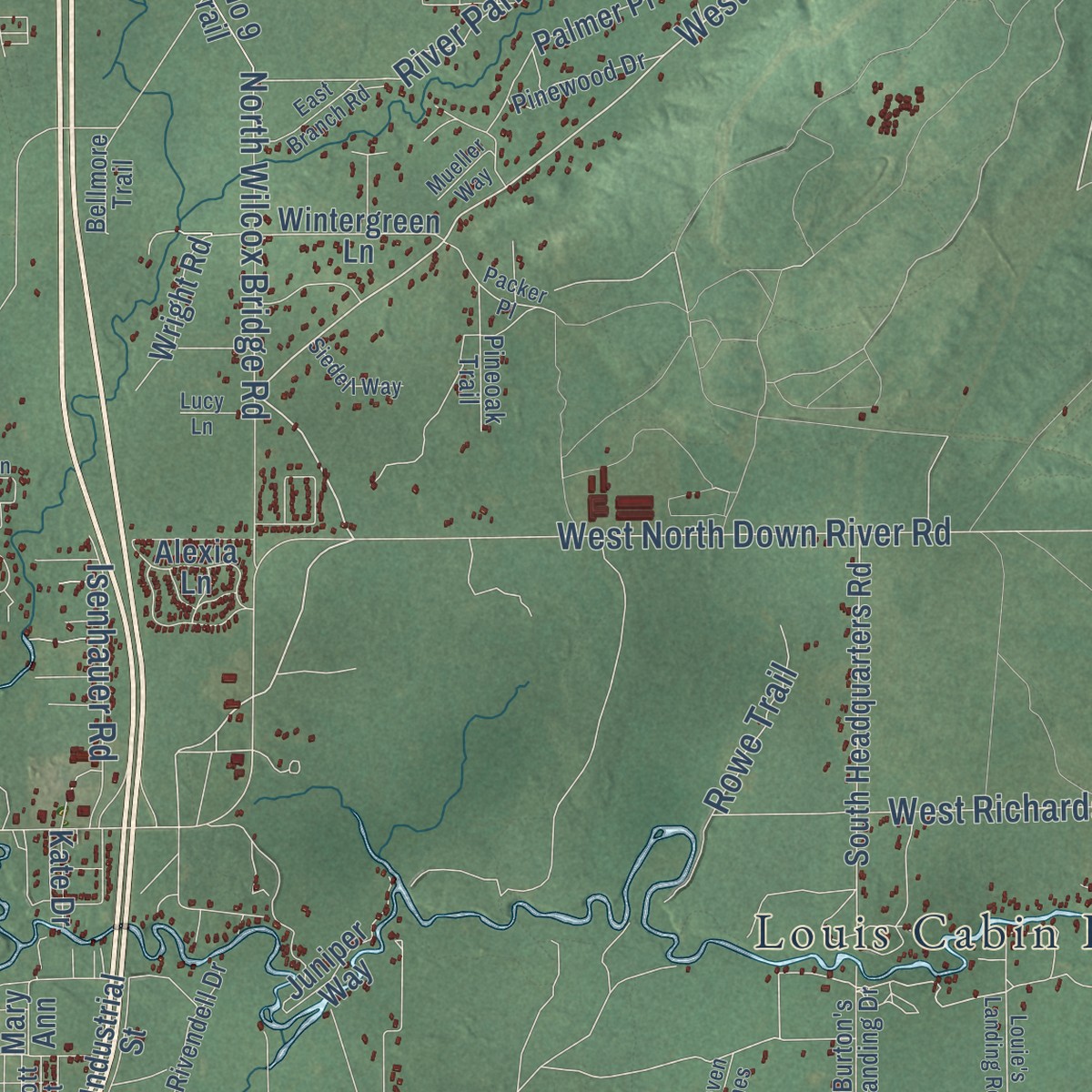
Combining modern data with the timeless character of a vintage atlas, this map is just as interesting up close as it is beautiful on the wall. Whether you grew up in Grayling Township, spent memorable years there, or call it home today, this unique map is a great way to celebrate a place that means something to you. Zoom in on the preview to look for your street, and then order a print to put your memories on the wall.
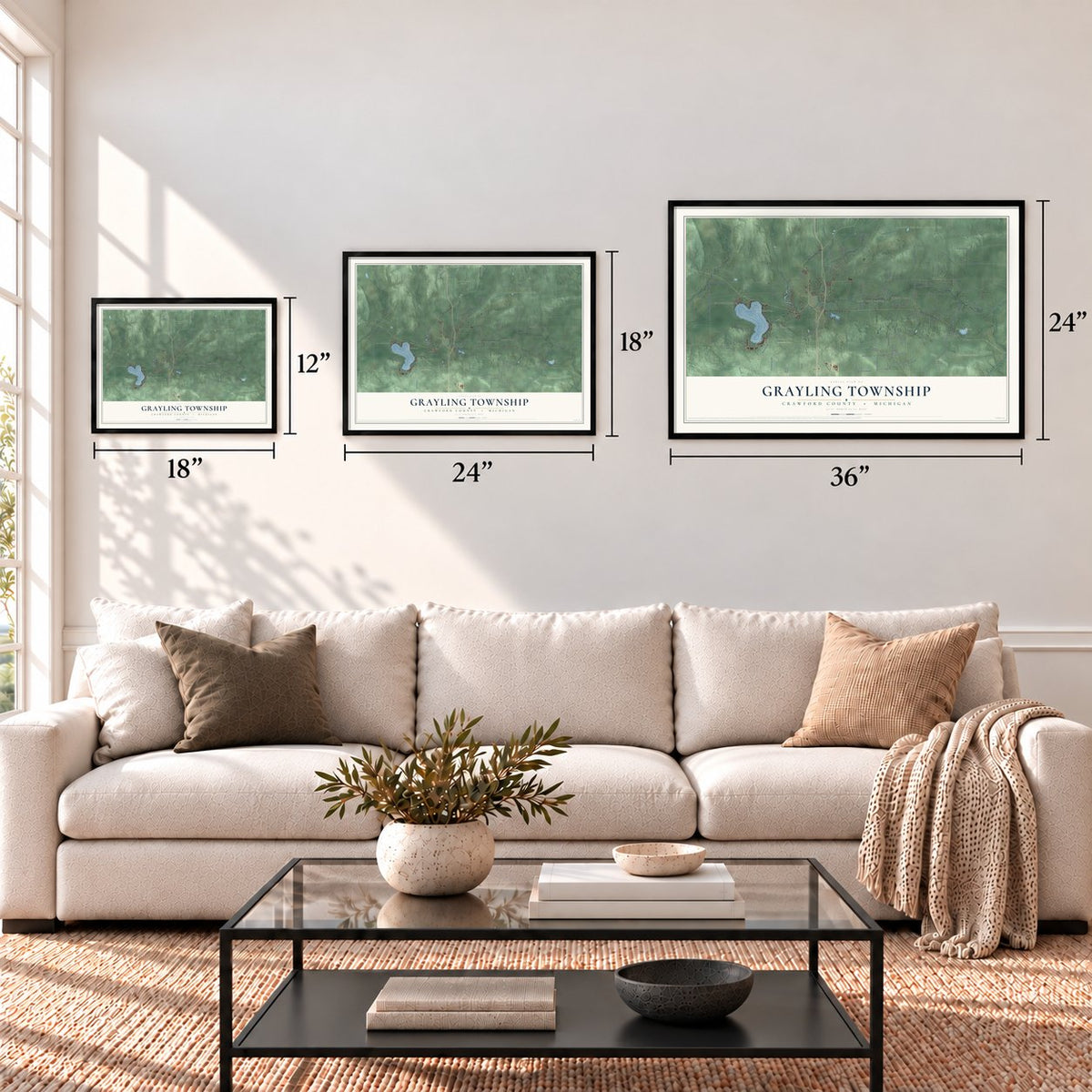
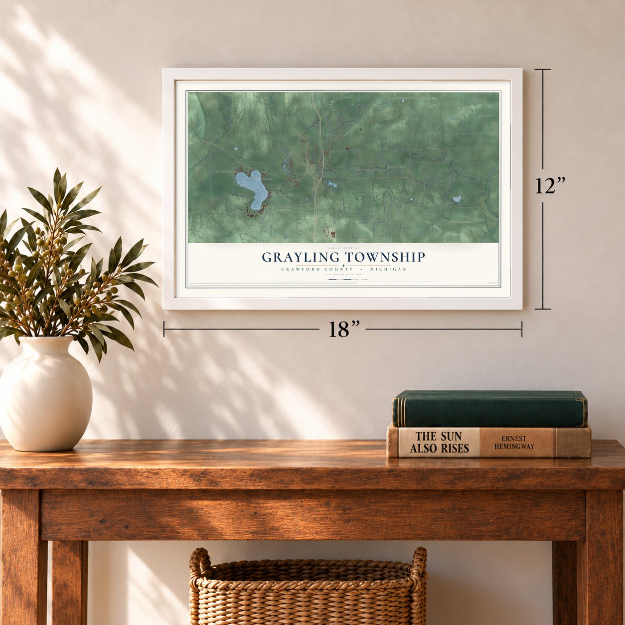
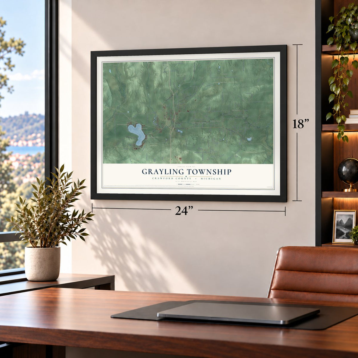
Three ways to hang it
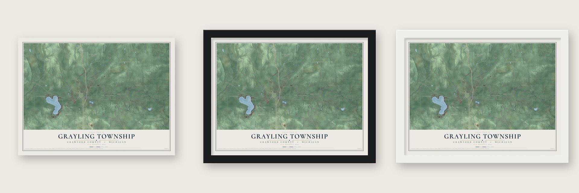
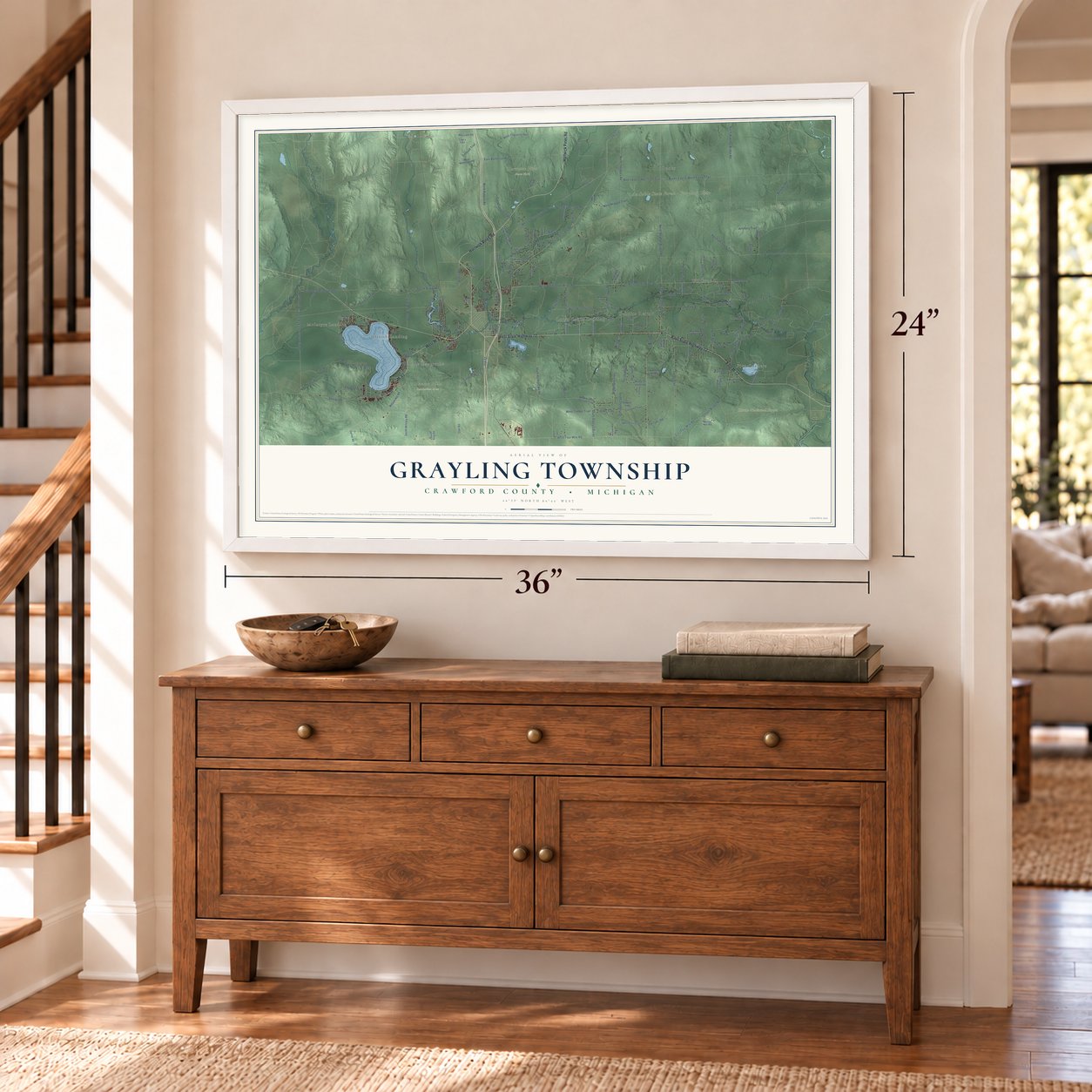
Unframed archival matte, a black wood frame or a white wood frame.
Up close
Geography Worth Displaying
This map was created using accurate cartographic data and authoritative geographic sources, including the U.S. Geological Survey and the Census Bureau. The map brings together terrain, waterways, roads, and building detail. The majority of the streets are labeled, houses are accurately depicted, and the topography is derived from government sources. Combining local data with carefully composed color and shading leads to this beautifully detailed Grayling artwork for your wall.
Rather than simply showing street outlines, we’ve included as many of the street names as we could reasonably fit on the map while keeping their names legible. Zoom in on the high resolution preview to see exactly what’s on the map. We truly set out to create a statement piece for anyone who loves Grayling. So whether it’s for you, or a gift for someone you love, we hope this map of Grayling brings back fond memories.
Read the story behind this map of Grayling Township, Michigan from 2026.
Find your street
Names on the Grayling map
Every name below is printed on this map. Look for your street, your school, the park where you played, or the pond down the road.
Places and landmarks13
- McIntyre Landing
- Rasmus
- Danish Landing
- Lake Margrethe
- Au Sable State Forest - Grayling Unit
- Hanson Hills Recreation Area
- Hartwick Pines State Park
- Huron National Forest
- Louis Cabin Landing
- Wildwood
- Five Corners
- Bucks
Show all 13 places
- Babbits Resort
Streets and roads201
- West State Highway 72
- Hartwick Pines Road
- M-93
- East State Highway 72
- East M-72
- West M-93
- Tank Trail
- West Jones Lake Road
- West Lewiston Grade Road
- Arrowhead Road
- South Kalkaska County Line Road
- Vista Drive
- Pollak Bridge Road
- North Stephan Bridge Road
- Howe Road
- Simpson Lake Road
- South Stephan Bridge Road
- Arrowhead Road Southeast
- West North Down River Road
- Old Lake Road
- East North Down River Road
- South Roberts Road
- Sharon Road
- McAuley Road
- Lake Road
- Murphy Road
- South Wakeley Bridge Road
- Eighth Street
- West Four Mile Road
- North Thendara Road
Show all 201 streets
- North Wakeley Bridge Road
- North Roberts Road
- Bucks East & West Truck Trail
- Ketcham Truck Trail
- South Barker Lake Road
- South Staley Lake Road
- Sandy Trail
- Chase Bridge Road
- East Batterson Road
- Wilderness Trail
- Shaw Park Road
- Oak Road
- Monty Lane
- South Military Road
- West Townline Road
- South Blue Bear Trail
- North Wilcox Bridge Road
- East Four Mile Road
- West Aragon Trail
- Twin Pine Road
- West Timber Trail
- West Richardson Road
- Bald Hill Road
- South Horseshoe Trail
- Camp Lavictoire Road
- Eleventh Street
- Ontario Road
- Conners Flat Road
- Goline Road
- Dollar Lake Road
- River Park Drive
- Artillery Trail
- Euclid Avenue
- West Karen Lake Road
- Gingerquill Drive
- South Whirlpool Road
- Polly Trail
- Linn Road
- South Thendara Drive
- Goodar Road
- North Spite Avenue
- Trail
- Darrows Road
- Fairground Lane
- Dyer Truck Trail
- Wilson Hill Road
- Gunter Trail
- Isenhauer Road
- Ole Dam Road
- Whitetail Trail
- Tara Lane
- Airport Road
- Kelm Way
- Timber Trail
- Forbush Trail
- Russell Road
- Payne Road
- Peters Road
- Chamois Court
- Rowe Trail
- Foley Lane
- Bell Road
- Beech Terrace
- Fort Road
- Farren Lane
- Tenth Street
- Irene Avenue
- Yorke Trail
- Sumac Trail
- Margrethe Boulevard
- South King Road
- Buck's East & West Truck Trail
- West School Section Trail
- South Ausable Trail
- North Red Head Lane
- Sweet Fern Drive
- Juniper Way
- Sunset Strip Drive
- South Headquarters Road
- East Branch No 9 Link Truck Trail
- Kneff Lake Road
- South Thendara Road
- Carstens Trail
- Industrial Street
- Bobcat Trail
- Palmer Place
- Kitchen Road
- Camp au Sable Drive
- State Park Drive
- West Batterson Road
- Wright Road
- Rustic Lane
- London Lane
- Sugar Pine Drive
- Wintergreen Lane
- Homestead Road
- Tom's Trail
- Green Tree Drive
- Szajner Road
- Alexia Lane
- May Lake Road
- Carrier Road
- Woodruff Way
- Monroe Avenue
- South Spite Avenue
- Grove Street
- Windy Hill Road
- Cambay Trail
- Diamond Drive
- River Park Road
- Goss Parkway
- Wa Wa Sum
- Game Club Road
- Sigsbee Road
- Ember Trail
- Autumn Way
- Rasmus Drive
- Kate Drive
- Almelo Road
- Blue Dun
- Loly Lane
- Dixon Drive
- Lott Lane
- Mary Ann
- Kent Place
- Bataan Avenue
- Danish Landing Road
- Killeen Trail
- Merrie Lane
- Parma Road
- Appleton Avenue
- Rivendell Drive
- Pinewood Drive
- Wakeley Lake Access Road
- Keystone Landing Road
- Pershing Place
- Burton's Landing Drive
- Kapets Road
- Loud Lane
- Turner Trail
- Evelyn Avenue
- Bellmore Trail
- Pineoak Trail
- Donata Avenue
- Scott Street
- Snow Road
- Attu
- M-72
- West Lewiston Grade
- Louie's Landing Road
- Camp Lavictore Road
- Elbow Trail
- Evergreen Drive
- Riverland Trail
- East Branch Road
- South Flint Trail
- Siedell Way
- Outing Place
- Shadow Land Road
- Clough Drive
- Canaan Trail
- Packer Place
- Mueller Way
- Anne Drive
- Turkey Run Road
- Arlberg Trail
- Lucy Lane
- Seven Pines
- Arthur Street
- Vernor Lane
- Dawn Drive
Names are listed as they appear on the printed map. Zoom into the product photos to find them.
About Grayling Township, Michigan
Grayling Township is a charter township of 5,642 people in the center of Crawford County, Michigan, and it reaches west to the Kalkaska County line. It takes its name from the grayling, a fish that lived in the Au Sable River, which runs across the middle of the township from west to east.
The city of Grayling sits inside the township, southwest of its center, but the two govern themselves separately. Camp Grayling, the Michigan National Guard's main training ground, covers the whole township west of the city. The Guard's Officer's Club, built in 1917, has hosted the social and formal events of its officer corps ever since.
- Lake Margrethe, named in 1914Rasmus Hanson founded a community on the shore of Lake Margrethe in 1914 and gave the lake his wife's name, Margrethe. The settlement, called Rasmus, became a Michigan Central Railroad stop as part of Camp Hanson, and that camp later grew into Camp Grayling, which still surrounds the site.
- Bucks, settled in 1870The Holloway Bucks family settled here in 1870, and the spot was first called Buck's Hill. When the Michigan Central Railroad made it a stop in 1889, it became Buck's Crossing, where the men building the railroad lived and rested between jobs. The name was later cut to Bucks. No buildings or residents remain, and the land is now part of Camp Grayling.
- Largest in the Lower PeninsulaThe township covers 174.40 square miles, 170.40 of them land, which makes it the largest municipality by land area in Michigan's Lower Peninsula. Among the state's charter townships, only Ironwood Township has more land.
Keep exploring Michigan
Grayling Township is one of 2,031 Michigan towns we've mapped. Every dot on the map is a print of its own.
The search covers every state, Michigan first.
Near Grayling Township
Order 2 or more town maps and save 10%. Shown in the size and finish you picked above, so they hang as a set.
- City of Grayling 12" x 18" / Archival Matte Print $39.99
- Beaver Creek 12" x 18" / Archival Matte Print $39.99
- Maple Forest 12" x 18" / Archival Matte Print $39.99
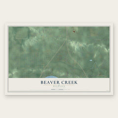
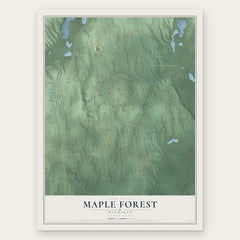
More maps nearby: Frederic, South Branch, Lovells, Bear Lake Township and Village of Roscommon.
The art of mapping a place
How This Map Was Made
Real places. Remarkable detail. Discover the layers that turn geographic data into a map of home.

The view from above
Aerial imagery reveals the character of the land: woodland, open fields, and the patterns of a place.

The shape of the land
Elevation data brings hills, valleys, and subtle changes in the landscape into view.

The details of home
Roads, waterways, and building footprints come together to make the map feel unmistakably local.

Geography becomes art
Considered color, shading, and typography bring the layers together in a map made for your wall.


Process illustrated with Mendon, Massachusetts. Aerial imagery: USDA NAIP. Terrain: USGS 3D Elevation Program. Map details and finished artwork: KNOWOL.
The Details
About This Print
Choose an archival matte print, or a black or white Ayous wood frame. The archival matte print is unframed.
Select your size and finish above to see the matching product image and price.
Materials & Craftsmanship
A contemporary map with the character of a classic atlas, printed on archival matte paper. Optional frames are made from Ayous wood.
Your printed map does not include the watermark shown in the full-map preview.
Shipping & Delivery
Free shipping within the United States. Every print is made to order in the USA.
Buying a gift? Add a note in your cart and we'll include it. We never put prices in the package.
Prints ship within 2 to 3 business days. Allow 7 to 10 days total from ordering for delivery. Timing may vary during holidays or periods of high order volume.
Read our shipping policy.
Returns and damaged prints
Each print is made to order. Change-of-mind refunds are not available after production.
If your print arrives damaged, misprinted or incorrect, contact support@knowol.com within 30 days of receiving it. Include your order number, photos and a description of the issue.
Read our full refund and replacement policy. For questions about your order, email support@knowol.com.