Drag to look around. The digital watermark does not appear on printed maps.
Free U.S. delivery 7 to 10 days after you order
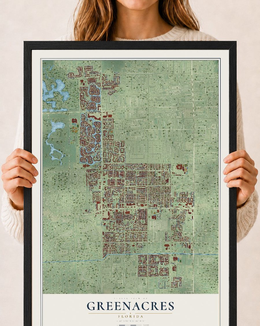
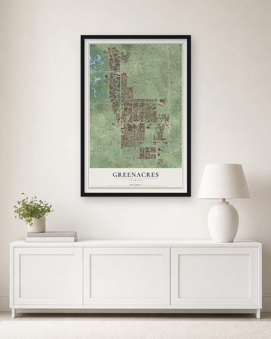
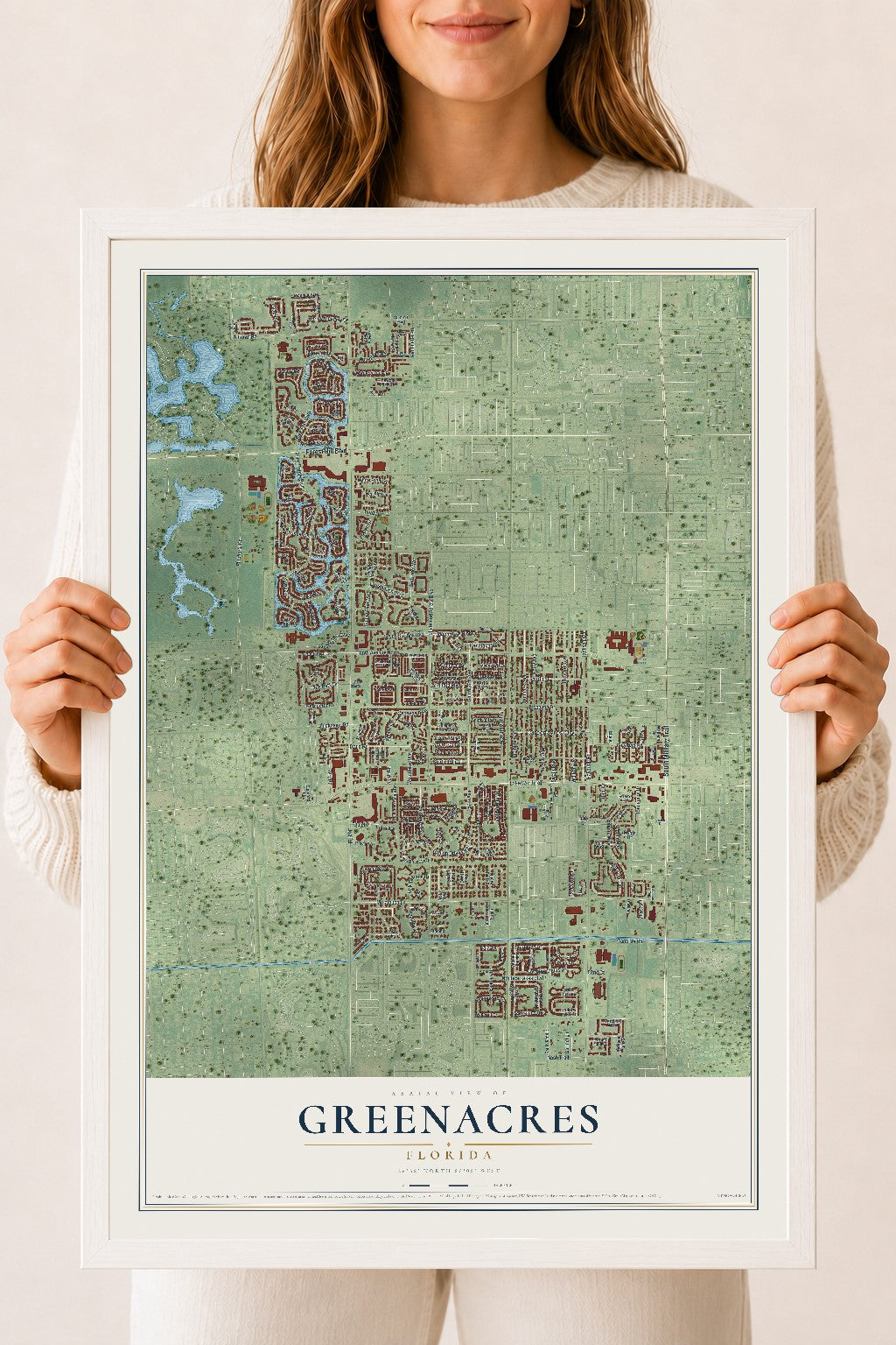
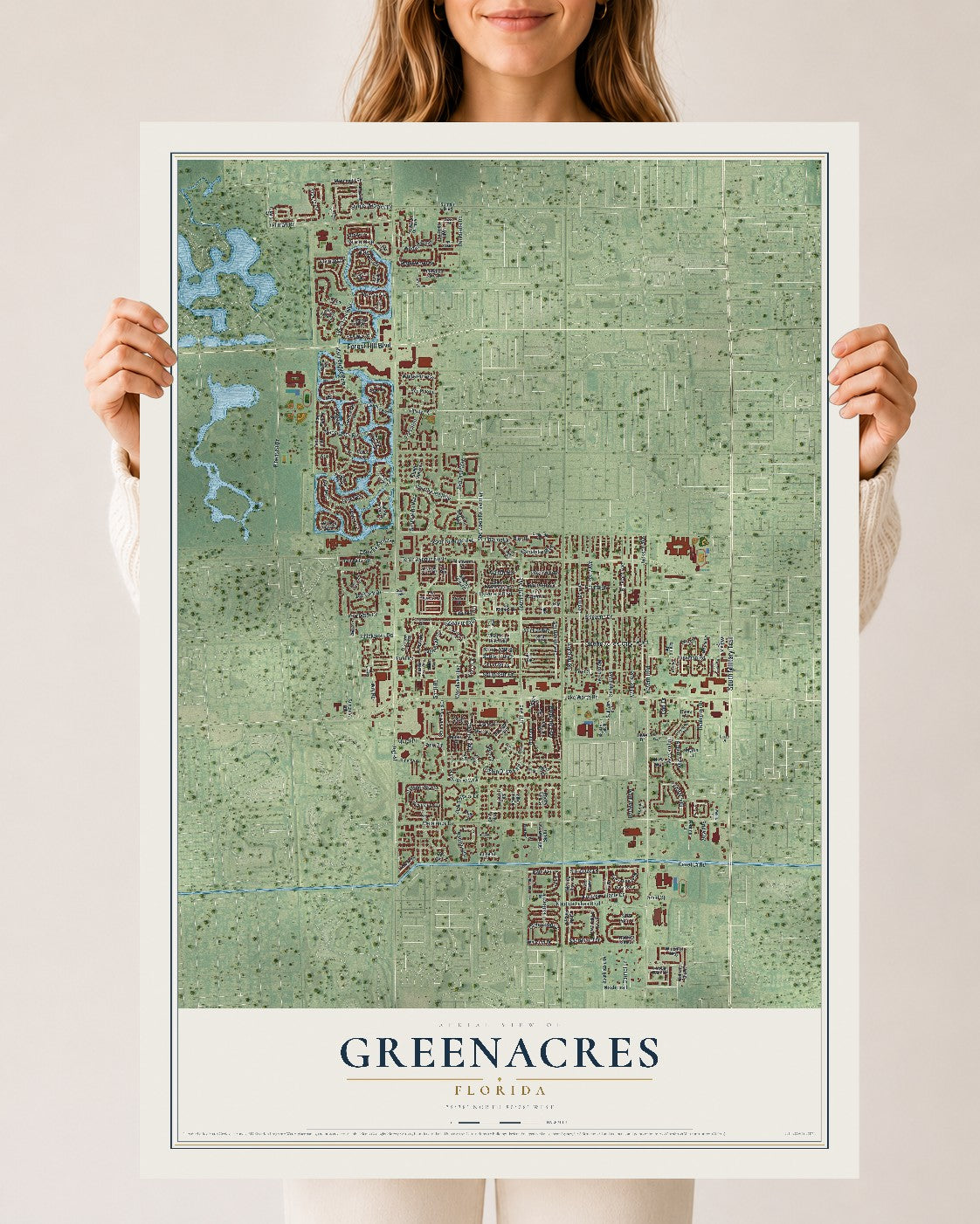
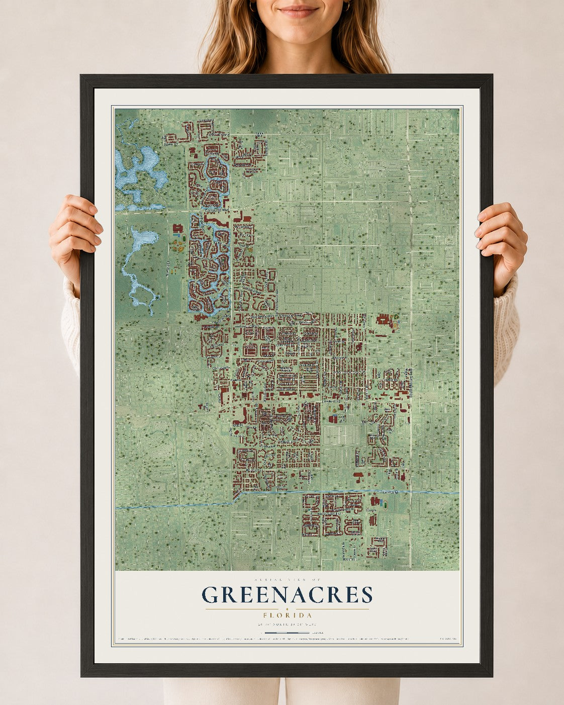
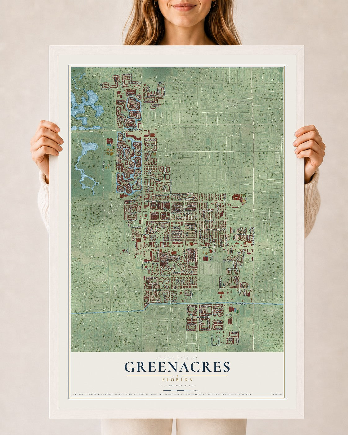
Greenacres, Florida Map Art
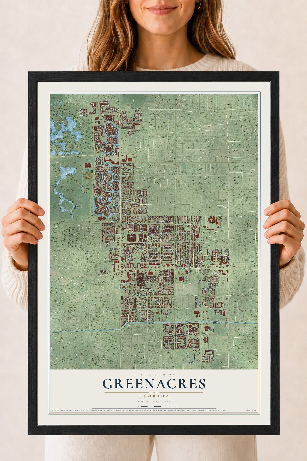
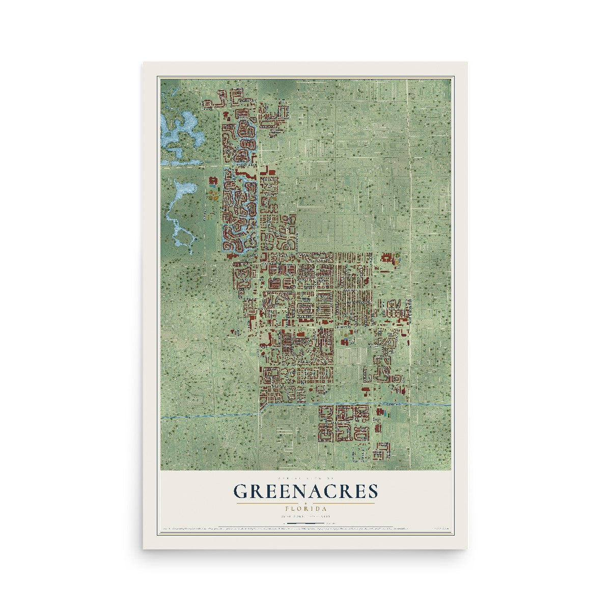
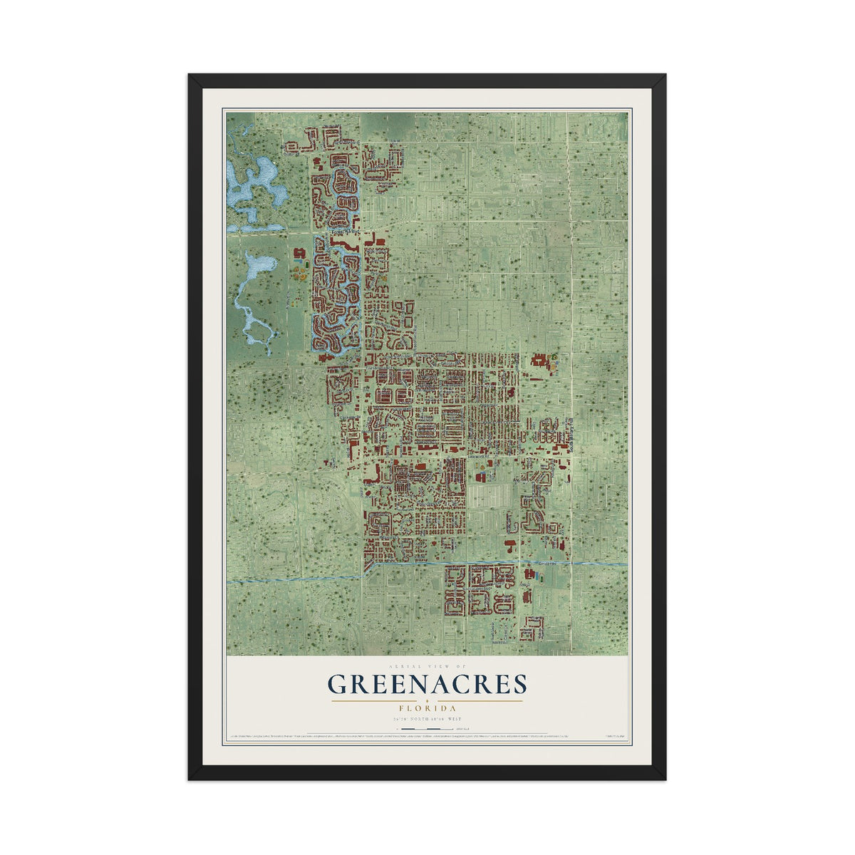
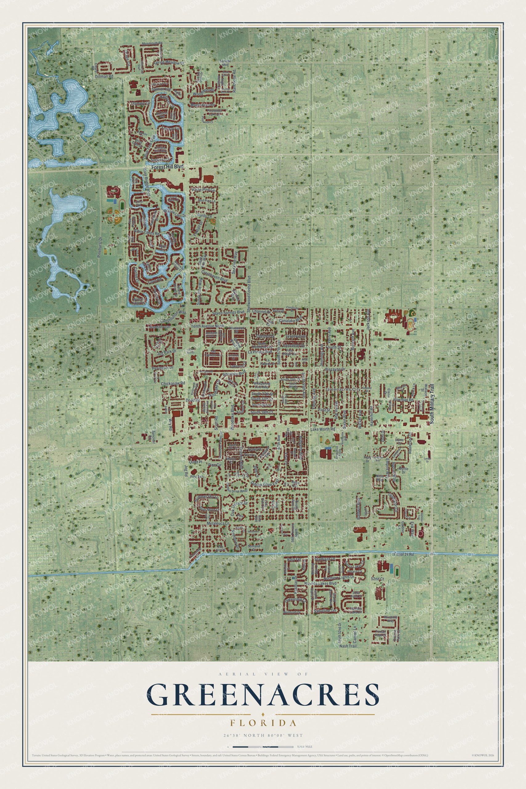
A new map of Greenacres, Florida, made in 2026 and printed to order on thick archival matte paper.
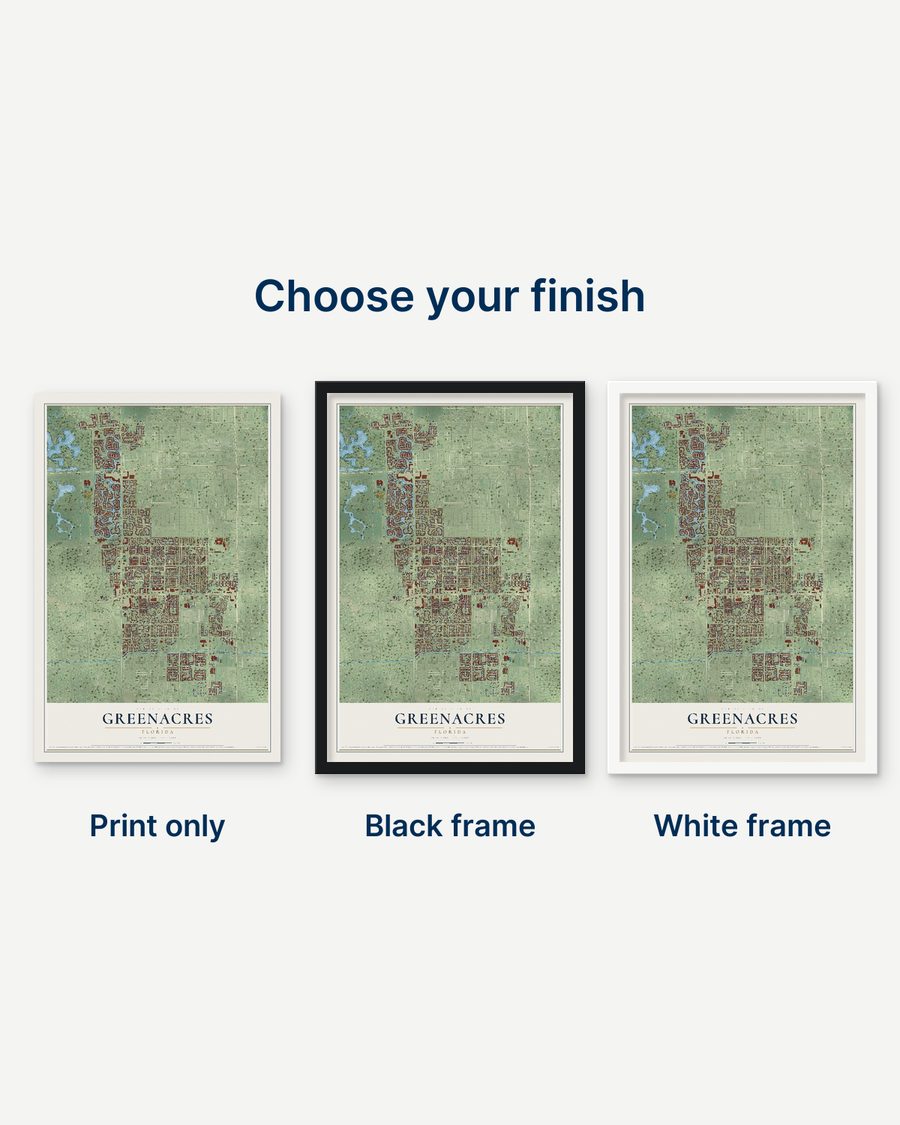
18" x 24" Black Wood Frame
A Map of Home. A Work of Art.
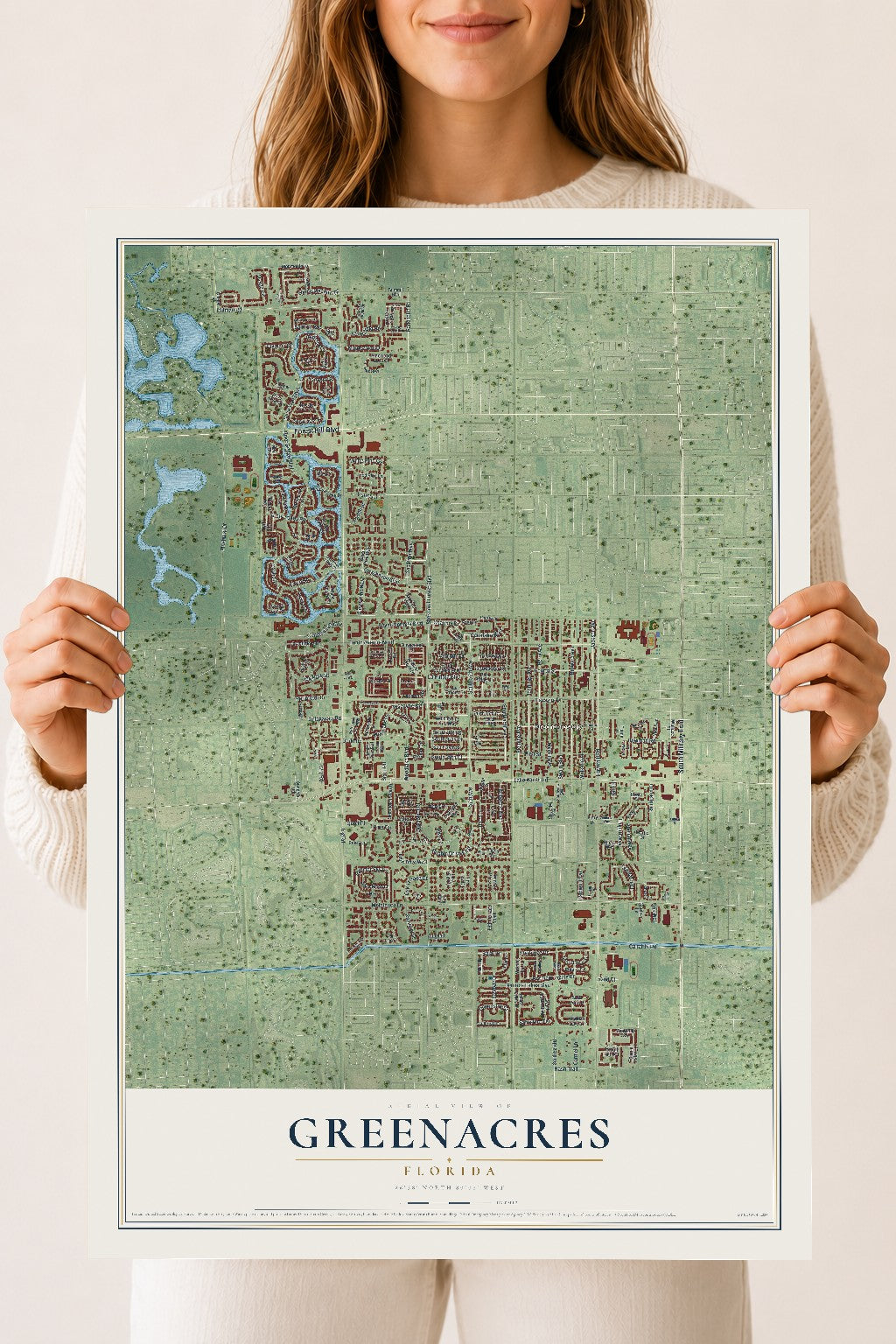
Bring a piece of Greenacres home. Whether it’s where you grew up, your current home, or simply a moment in your life, this Greenacres, Florida map print brings those memories to your wall. Antique-inspired styling and modern geographic detail combine to create artwork that’s beautiful from across the room, with plenty to study and explore when you get up close.
Real geography. Art worth displaying.
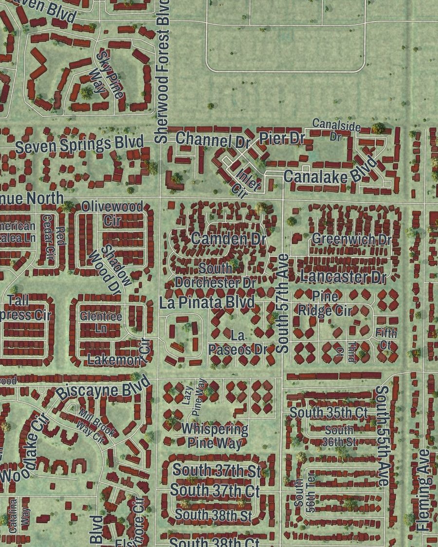
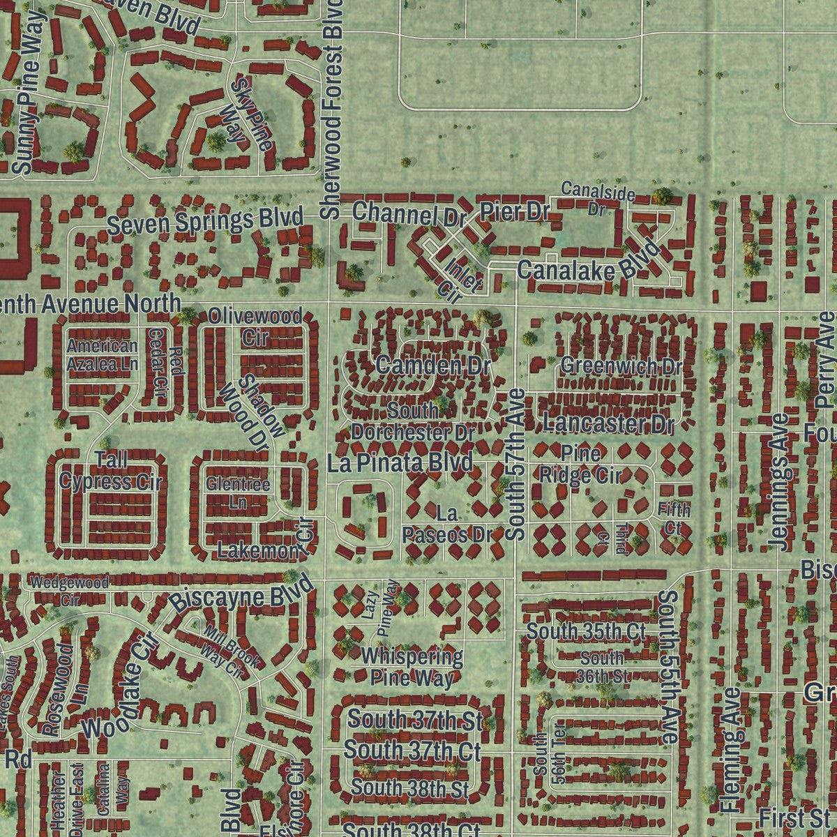
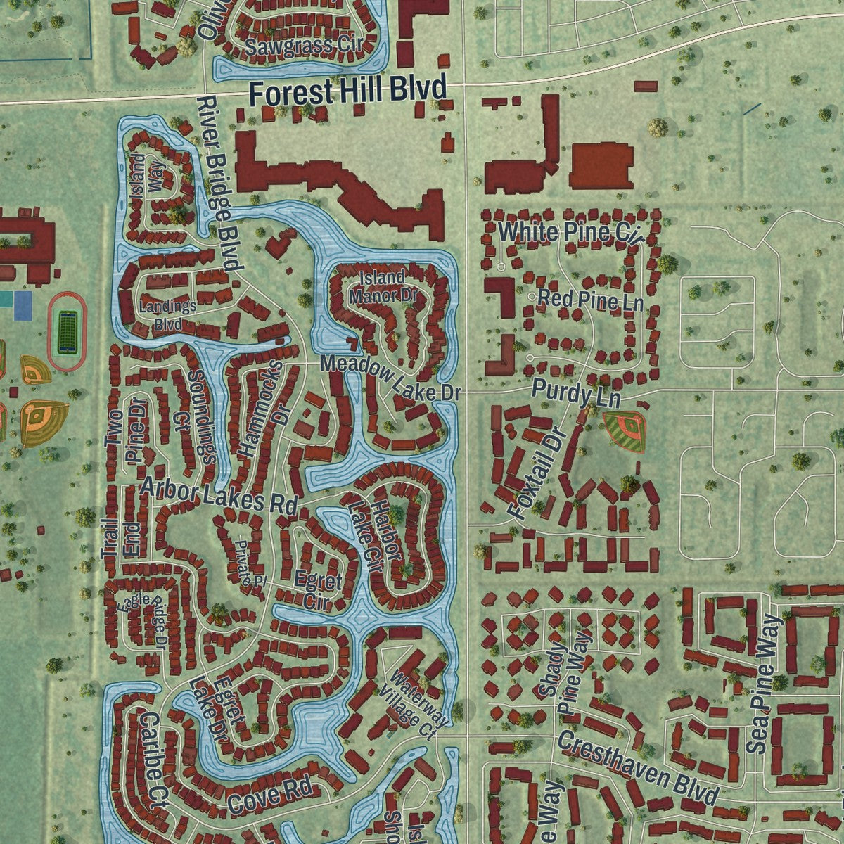
This map was created using accurate cartographic data and authoritative geographic sources, including the U.S. Geological Survey (USGS) and FEMA. The map brings together terrain, waterways, roads, and building detail. The majority of the streets are labeled, houses are accurately depicted, and the topography is derived from government sources. Combining local data with carefully composed color and shading leads to this beautifully detailed Greenacres artwork for your wall.
Rather than simply showing street outlines, we’ve included as many of the street names as we could reasonably fit on the map while keeping their names legible. Zoom in on the high resolution preview to see exactly what’s on the map. We truly set out to create a statement piece for anyone who loves Greenacres. So whether it’s for you, or a gift for someone you love, we hope this map of Greenacres brings back fond memories.
Explore the full map of Greenacres, Florida and read about the local places it shows.
About Greenacres, Florida
The 2020 count recorded 43,990 people in Greenacres, a Florida city associated with Palm Beach County. Its identity is also carried by civic milestones, familiar places, and institutions preserved in the community's historical record.
- 43,990 peopleRecorded for Greenacres in the 2020 census.
- Palm Beach CountyGreenacres belongs to Palm Beach County in Florida.
- 5.79 square milesThe source record gives Greenacres a total area of 5.79 square miles.
- Incorporated in 1926Greenacres's incorporation dates to 1926.
Find your street
Names on the Greenacres map
Every name below is printed on this map. Look for your street, your school, the park where you played, or the pond down the road.
Places and landmarks1
- Greenacres City
Streets and roads235
- South Military Trail
- Forest Hill Boulevard
- South 57th Avenue
- Bridgette Boulevard
- 57th Avenue
- Dubbin Drive East
- Pier Drive
- Perimeter Drive
- Jog Park Drive
- Queenship Court
- River Bridge Boulevard
- Bowman Road
- Purdy Lane
- Jog Road
- Haverhill Road
- Lake Worth Road
- Tenth Avenue North
- Sherwood Forest Boulevard
- Melaleuca Lane
- Biscayne Drive
- Jackson Avenue
- Broward Avenue
- Swain Boulevard
- Olive Tree Boulevard
- Jennings Avenue
- Fleming Avenue
- Walker Avenue
- Perry Avenue
- Martin Avenue
- Lisa Lane
Show all 235 streets
- Empire Way
- Woodlake Boulevard
- Dillman Road
- Summer Sky Lane
- Hatteras Circle
- Foxtail Drive
- Gladiator Circle
- Pine Circle
- Nautica Lakes Boulevard
- Pinehurst Drive
- Maplewood Drive
- Osage Circle
- White Pine Circle
- Spring Meadow Drive
- Fairway Circle
- Cresthaven Boulevard
- Salmon Isle
- First Street
- Olympic Circle
- South 38th Court
- South 37th Court
- Seven Springs Boulevard
- Fourth Street
- Pointe Circle
- South 37th Street
- Caribe Court
- Canal 14 Road
- Starblaze Drive
- Nash Trail
- Ranchette Road
- Northern Lights Drive
- Woodlake Circle
- Dodd Road
- South 55th Avenue
- Rainbow Drive
- Arbor Lakes Road
- Raulerson Drive
- Cove Road
- Woodfield Road
- Constitution Way
- Wry Road
- Colonial Boulevard
- Sunny Pine Way
- Sea Pine Way
- Chickasaw Road
- Oak Terrace Drive
- Lancaster Drive
- Biscayne Boulevard
- Eastbay Drive
- La Pinata Boulevard
- Canalake Boulevard
- Erik Way
- Dans Place
- Camden Drive
- Appian Way
- Baldwin Boulevard
- Baja Terrace
- Sabreline Terrace
- Quiet Place
- Carmel Lane
- Channel Drive
- Scott Road
- 52nd Court
- Dahl Drive
- 30th Lane
- Inlet Circle
- Susan Circle
- Meadow Lake Drive
- Pine Ridge Circle
- Greenwich Drive
- Sawgrass Circle
- Lakemont Circle
- Olivewood Circle
- Tall Cypress Circle
- Olive Tree Circle
- Dubbin Drive West
- Island Shores Drive
- Egret Lake Drive
- Lake Pine Circle
- Knotty Pine Circle
- Pine Hov Circle
- Nautica Lake Circle
- Harbor Lake Circle
- Seminole Palms Drive
- Grand Banks Boulevard
- Shadow Wood Drive
- Monmouth Road
- Avion Circle
- South 38th Street
- Egret Circle
- Foxtail Palm Court
- Waters Edge Circle
- South Dorchester Drive
- Summit Boulevard
- Nicia Way
- Windmill Way
- 56th Terrace South
- Elsinore Circle
- Two Pine Drive
- Silver Moon Lane
- Aurora Lakes Circle
- Soundings Court
- Albin Drive
- Island Gypsy Drive
- Cohune Palm Court
- South 35th Court
- Marco Court
- Sky Pine Way
- Wishing Star Lane
- Hammocks Drive
- South 52nd Drive
- Grandiflora Drive
- Red Pine Lane
- Shady Pine Way
- Pinewood Lake Court
- Solar Point Drive
- La Paseos Drive
- Rosewood Lane
- Whispering Pine Way
- Wellcraft Drive
- Nyack Lane
- Pine Avenue
- Night Heron Court
- Polaris Cv
- Pine Court
- Keystone Way
- Cleary Road
- Wallace Street
- Gardner Lane
- Suncrest Road
- Sunland Court
- Trail End
- Myrtle Drive
- Rome Court
- Elaine Drive
- Pine Boulevard
- Flory Drive
- 21st Lane
- Parkside Green Drive
- Canalside Drive
- South Eric Circle
- Pine Glen Lane
- Red Cedar Circle
- Second Street
- Timberlane Circle
- Island Manor Drive
- Centurian Circle
- Parkway Court
- Island Way
- Chariot Circle
- Lucerne Park Drive
- Mil-Lake Circle
- Waterway Village Court
- Rachael Road
- Pinewood Court
- Malibu Circle
- South 56th Terrace
- 52nd Drive South
- South 36th Street
- Cape Cod Terrace
- Crooked Stick Way
- Leland Lane
- Southview Avenue
- Mainship Drive
- Heather Drive East
- Cape May Lane
- Monteray Way
- Patrick Way
- American Azalea Lane
- Glentree Lane
- Mil-Race Court
- 22nd Lane
- Fifth Court
- Susan Court
- Landings Boulevard
- Eagle Ridge Drive
- Rainbow Circle
- Wedgewood Circle
- Mill Brook Way Circle
- Rising Comet Lane
- Bayview Road
- Centurian Way
- Moon Shadow Lane
- Pond Pine Way
- Chickasaw Circle
- Stonecreek Street
- Snowy Egret Lane
- Wedgewood Lakes South
- Osprey Woods Lane
- Catalina Way
- 66th Terrace South
- Lazy Pine Way
- Fire Sky Drive
- Coquina Winds Way
- Private Place
- Woodwind Court
- Wellman Trail
- La Rambla
- First Lane
- South 33rd Court
- Landar Drive
- Fourth Lane
- Third Court
- 14th Lane
- 24th Lane
Names are listed as they appear on the printed map. Zoom into the product photos to find them.
The art of mapping a place
How This Map Was Made
Real places. Remarkable detail. Discover the layers that turn geographic data into a map of home.

The view from above
Aerial imagery reveals the character of the land: woodland, open fields, and the patterns of a place.

The shape of the land
Elevation data brings hills, valleys, and subtle changes in the landscape into view.

The details of home
Roads, waterways, and building footprints come together to make the map feel unmistakably local.

Geography becomes art
Considered color, shading, and typography bring the layers together in a map made for your wall.


Process illustrated with Mendon, Massachusetts. Aerial imagery: USDA NAIP. Terrain: USGS 3D Elevation Program. Map details and finished artwork: KNOWOL.
The Details
About This Print
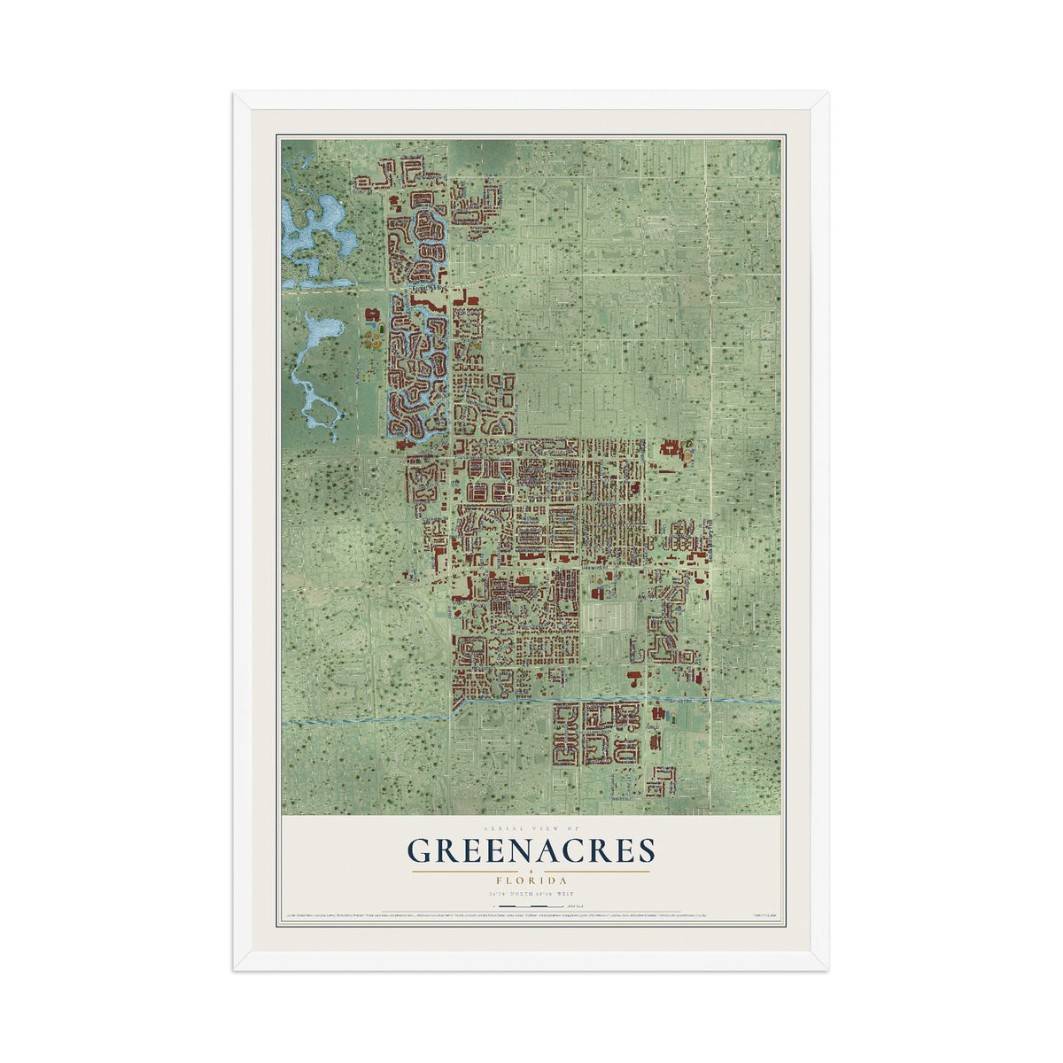
Choose an archival matte print, or a black or white Ayous wood frame. The archival matte print is unframed.
Select your size and finish above to see the matching product image and price.
Materials & Craftsmanship
A contemporary map with the character of a classic atlas, printed on archival matte paper. Optional frames are made from Ayous wood.
Your printed map does not include the watermark shown in the full-map preview.
Shipping & Delivery
Free shipping within the United States. Every print is made to order in the USA.
Buying a gift? Add a note in your cart and we'll include it. We never put prices in the package.
Prints ship within 2 to 3 business days. Allow 7 to 10 days total from ordering for delivery. Timing may vary during holidays or periods of high order volume.
Read our shipping policy.
Returns and damaged prints
Each print is made to order. Change-of-mind refunds are not available after production.
If your print arrives damaged, misprinted or incorrect, contact support@knowol.com within 30 days of receiving it. Include your order number, photos and a description of the issue.
Read our full refund and replacement policy. For questions about your order, email support@knowol.com.
Nearby
Maps of towns near Greenacres
Know someone from one of these towns? Their map makes a great gift.