
Search for another town



Free U.S. delivery 7 to 10 days after you order
Greenville, North Carolina Map Art
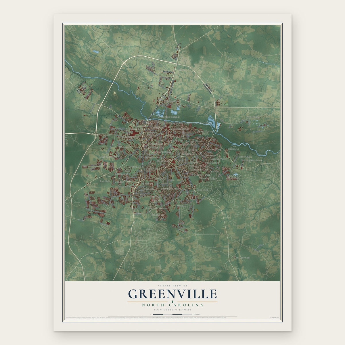
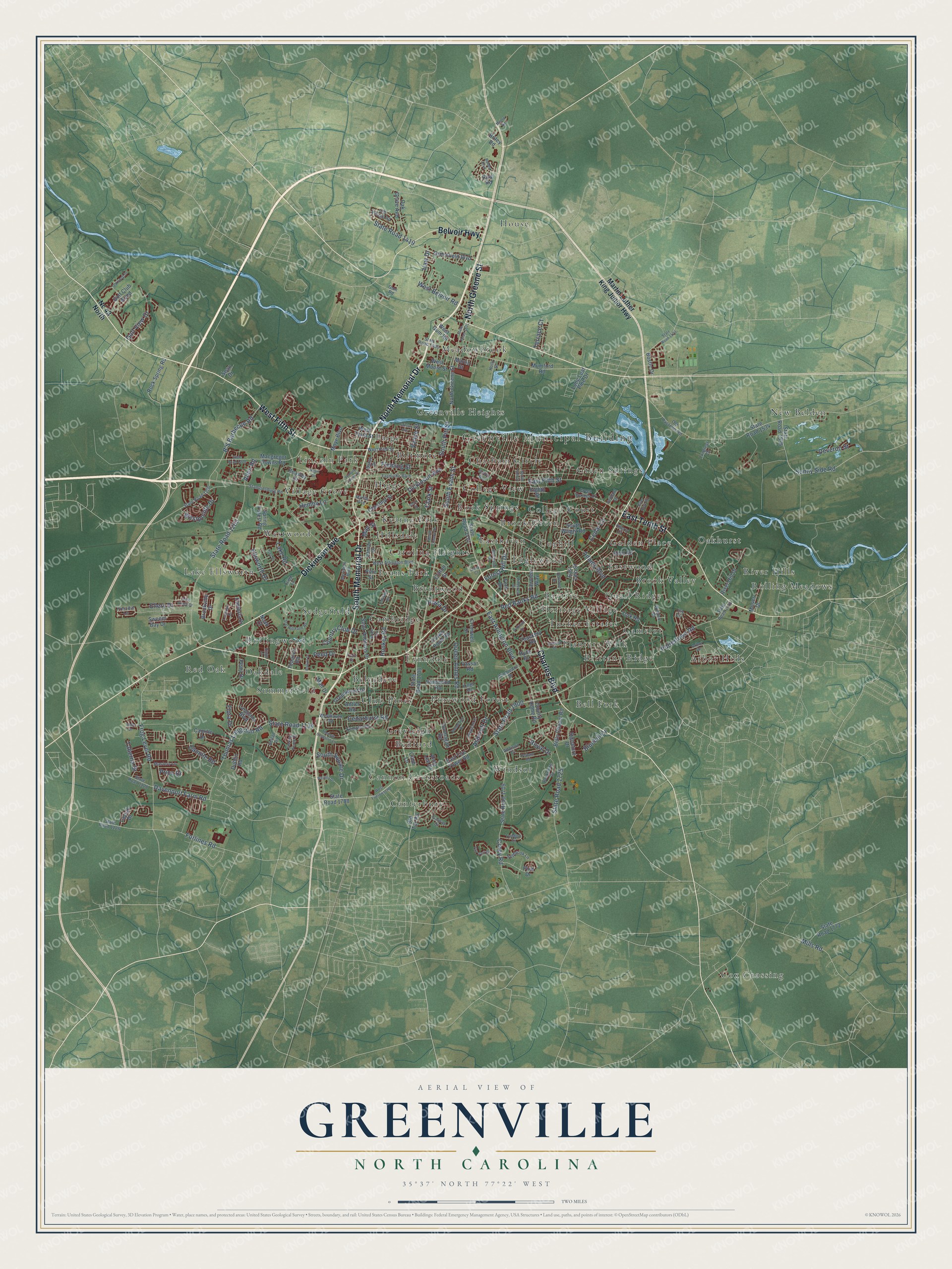
A new map of Greenville, North Carolina, made in 2026 and printed to order on thick archival matte paper.
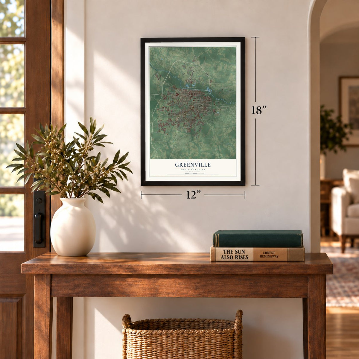
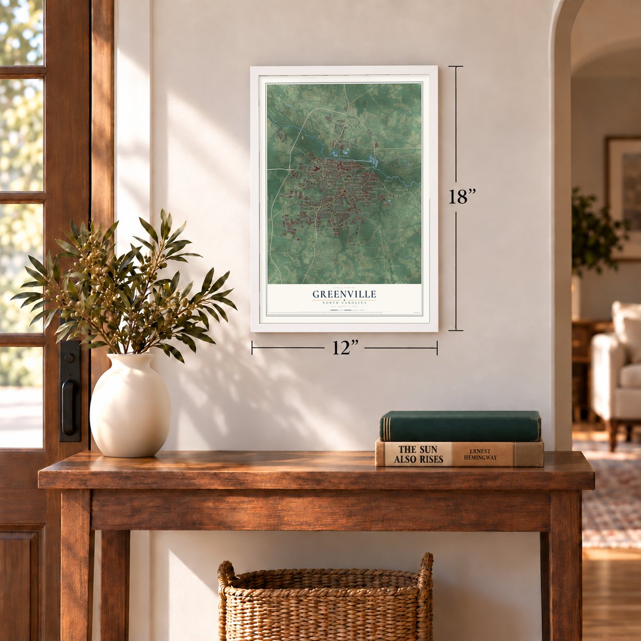
12" x 18" Archival Matte Print
A Map of Home. A Work of Art.
Explore Greenville, North Carolina from a whole new perspective. Created using aerial imagery and detailed geographic data, this map captures Greenville building by building, with labeled streets, familiar landmarks, and shaded topographical relief that highlights the natural contours of the landscape.
Combining modern data with the timeless character of a vintage atlas, this map is just as interesting up close as it is beautiful on the wall. Whether you grew up in Greenville, spent memorable years there, or call it home today, this unique map is a great way to celebrate a place that means something to you. Zoom in on the preview to look for your street, and then order a print to put your memories on the wall.
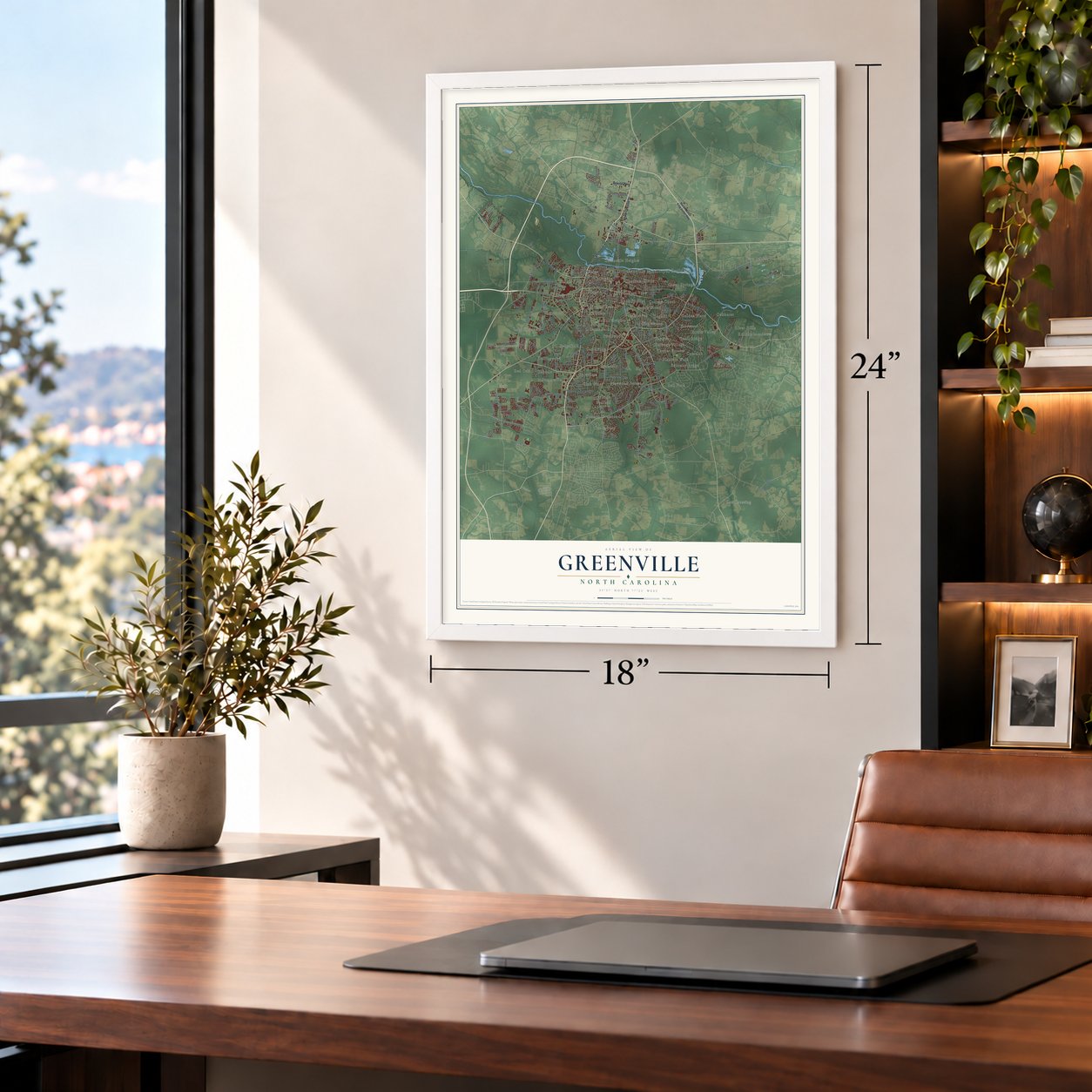
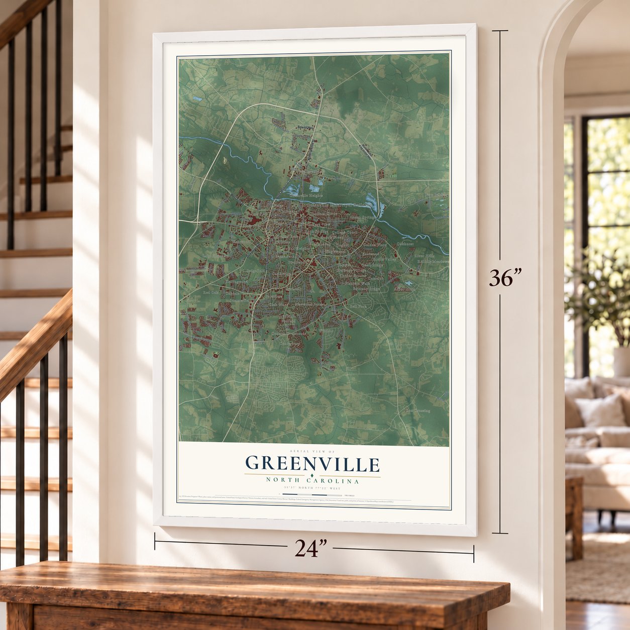
Three ways to hang it
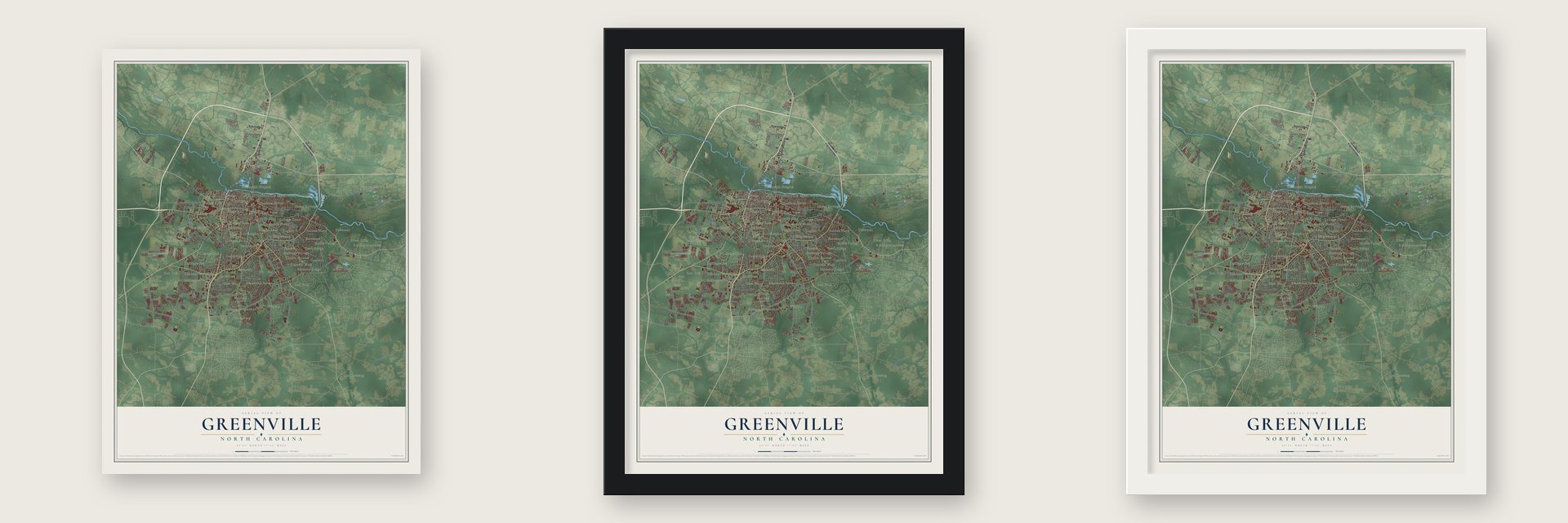
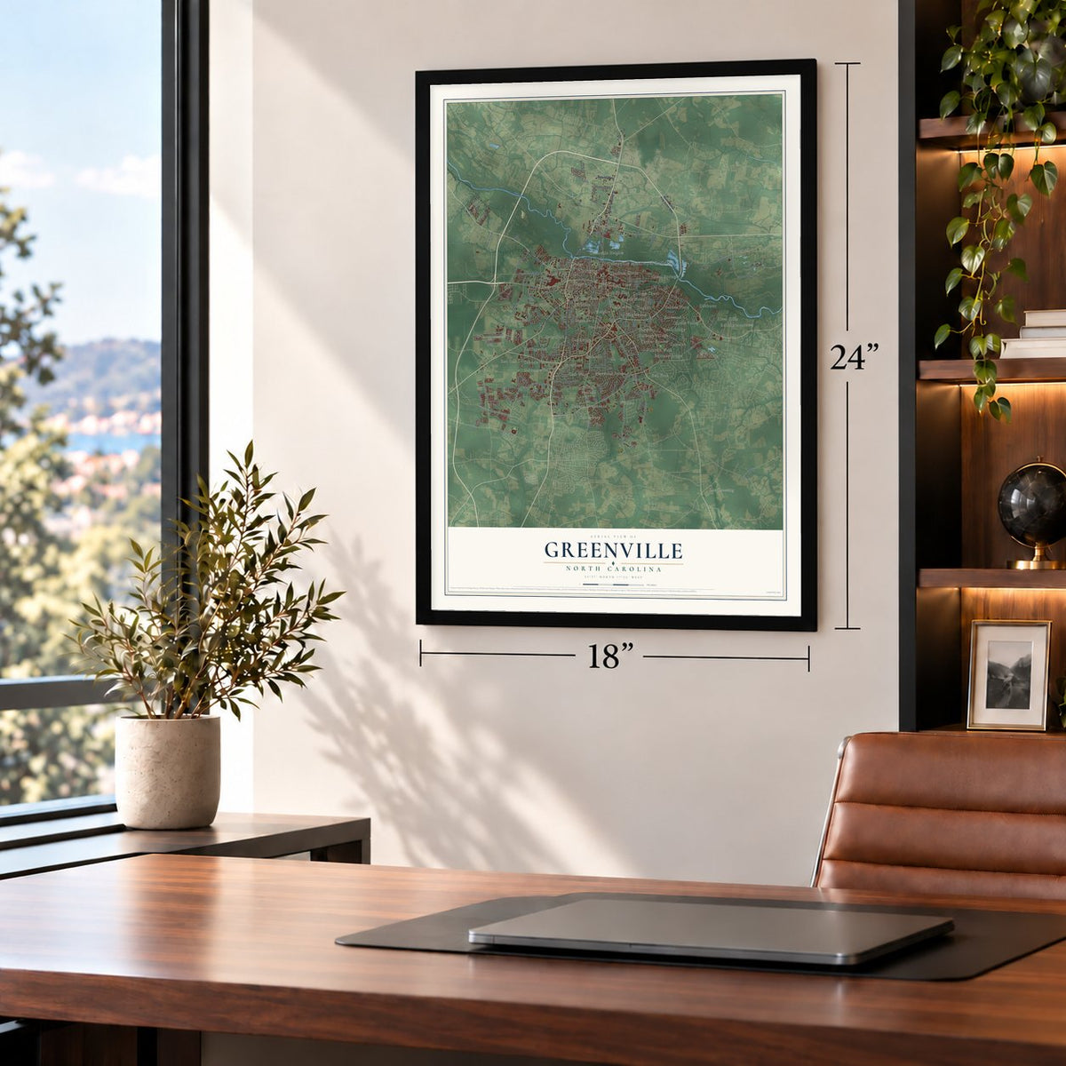
Unframed archival matte, a black wood frame or a white wood frame.
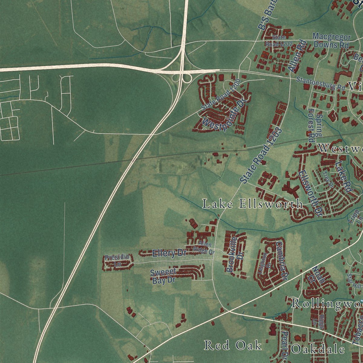
Up close
Geography Worth Displaying
This map was created using accurate cartographic data and authoritative geographic sources, including the U.S. Geological Survey and the Census Bureau. The map brings together terrain, waterways, roads, and building detail. The majority of the streets are labeled, houses are accurately depicted, and the topography is derived from government sources. Combining local data with carefully composed color and shading leads to this beautifully detailed Greenville artwork for your wall.
Rather than simply showing street outlines, we’ve included as many of the street names as we could reasonably fit on the map while keeping their names legible. Zoom in on the high resolution preview to see exactly what’s on the map. We truly set out to create a statement piece for anyone who loves Greenville. So whether it’s for you, or a gift for someone you love, we hope this map of Greenville brings back fond memories.
Read the story behind this map of Greenville, North Carolina from 2026.

About Greenville, North Carolina
Greenville is a city of 87,521 people and the county seat of Pitt County. It was incorporated in 1771 as Martinsborough, after Josiah Martin, the last royal governor of North Carolina. In 1774 the town moved three miles west to its present spot on the south bank of the Tar River. In 1786, after the Revolution, it was renamed Greenesville for General Nathanael Greene, and the name was later shortened to Greenville.
Boats could travel the Tar River in those early years, and by the 1860s several steamboat lines carried people and goods. Cotton was the main crop, and Greenville grew into a major place to ship it. Before the century ended, tobacco had passed cotton as the crop that paid best, and Greenville became one of the leading tobacco markets and warehouse towns in the state.
- A college chartered in 1907In March 1907 the Legislature chartered East Carolina Teacher's Training School, which took both men and women. By the mid-1960s, as East Carolina College, it was the third-largest state-supported college, with close to 8,000 students. It became East Carolina University in 1967, and its medical school took its first four-year class in 1977. Today it has more than 29,000 students.
- Hurricane Floyd in 1999In September 1999 Hurricane Floyd dropped nearly 17 inches of rain, and the Tar River rose past 500-year flood levels, mostly overnight. Some residents had to swim six feet underwater to reach their own front doors, and damage in Pitt County reached an estimated $1.6 billion. With downtown flooded, the East Carolina Pirates moved their game against No. 9 Miami to Raleigh and won it 27 to 23.
- Industry from 1963Greenville's modern growth began in 1963, when Empire Brush came to the new Greenville Industrial Park. In 1968 the drug maker Burroughs Wellcome built a plant near the city. That site now belongs to Patheon, a Thermo Fisher Scientific company, and employs about 1,200 people.
- Back-to-back no-hittersGreenville Little Leagues began in 1951. In 2017 a Greenville team at the Little League World Series threw a combined perfect game and then a no-hitter, the first U.S. team to throw no-hitters in back-to-back games. It reached the United States Championship Game before losing to Lufkin, Texas. Since 2021 the city has hosted the Little League Softball World Series.
Find your street
Names on the Greenville map
Every name below is printed on this map. Look for your street, your school, the park where you played, or the pond down the road.
Places and landmarks57
- Greenville Municipal Building
- Arbor Hills
- Baytree
- Bedford
- Bell Fork
- Belvedere
- Biltmore
- Brentwood
- Brittany Ridge
- Brook Green
- Brook Valley
- Cambridge
Show all 57 places
- Camelot
- Cannon Crossroads
- Canterbury
- Carolina Heights
- Chatham Circle
- Club Pines
- Coghill
- College Court
- College View
- Cox Crossing
- Easthaven
- Eastwood
- Englewood
- Evans Park
- Golden Place
- Green Springs
- Greenville Heights
- Greyleigh
- Heritage Village
- Higgs
- Hillsdale
- House
- Kearny Park
- Lake Ellsworth
- Lincoln Park
- Lynndale
- Meadowbrook
- New Belden
- Oakdale
- Oakhurst
- Paige
- Pinewood Forest
- Planters Walk
- Quail Ridge
- Red Oak
- River Hills
- Rock Springs
- Rolling Meadows
- Rollingwood
- Sedgefield
- Summerfield
- Tucker Estates
- Village Grove
- Westwood
- Windsor
Streets and roads201
- South Memorial Drive
- Charles Boulevard
- East Tenth Street
- West Fifth Street
- North Greene Street
- North Memorial Drive
- Dickinson Avenue
- Belvoir Highway
- South Evans Street
- State Road 1900
- State Road 1725
- State Road 1419
- East Arlington Boulevard
- Allen Road
- State Road 1203
- East Fifth Street
- Red Banks Road
- Hooker Road
- Corey Road
- South Pitt Street
- State Road 1134
- Thomas Langston Road
- Frog Level Road
- Portertown Road
- Ellsworth Drive
- Davenport Farm Road
- Sunny Side Road
- B'S Barbecue Road
- Forlines Road
- Queen Annes Road
Show all 201 streets
- Golf View Drive
- West Belvoir Road
- Westpointe Drive
- South Square Drive
- Country Club Drive
- Deveron Street
- Hemby Lane
- Ellery Drive
- Cedarhurst Road
- Mills Road
- Cedar Lane
- Camille Road
- Bluebill Drive
- Forest Hill Drive
- Fleming Street
- Peed Drive
- Vance Street
- Terrace Court
- Taberna Drive
- Royal Drive
- Adams Boulevard
- Ashcroft Drive
- Lake Road
- Haw Drive
- Clark Street
- Flora Drive
- Plaza Drive
- Price Drive
- May Street
- Nc 43 North
- Martin Luther King Junior Highway
- East Fire Tower Road
- State Road 1708
- State Road 1700
- State Road 1707
- West Gum Road
- Greenfield Boulevard
- East 14th Street
- State Road 1709
- County Home Road
- West Third Street
- Moye Boulevard
- State Road 1534
- Macgregor Downs Road
- Spring Forest Road
- Dunhagan Road
- State Road 1535
- Chestnut Street
- Mumford Road
- York Road
- River Hill Drive
- Rock Spring Road
- Tobacco Road
- Cambria Drive
- Old Tar Road
- Beasley Drive
- Oak Grove Avenue
- Saint Andrews Drive
- Kent Road
- Brookville Drive
- Langston Boulevard
- Golf Club Wynd
- Pinewood Road
- Bells Chapel Road
- State Road 1772
- Greenwood Drive
- South Wright Road
- Pearl Drive
- Clifton Street
- Sweeet Bay Drive
- Crown Point Road
- Dublin Road
- Moses Drive
- Pine Street
- Fairview Way
- Fern Drive
- Long Leaf Pine Drive
- West Moore Street
- Signature Drive
- Thackery Road
- Hyde Drive
- Mall Drive
- Antler Road
- Martin Street
- Cromwell Drive
- Vassar Road
- Bostic Drive
- Noah Court
- Alma Lee Drive
- Camille Drive
- Briley Road
- Laylah Drive
- Rawl Road
- Eighth Street
- Sean Drive
- Cindi Lane
- Pine Drive
- Stantonsburg Road
- West Arlington Boulevard
- State Road 1530
- Old Pactolus Road
- State Road 1726
- State Road 1128
- Windsor Road
- State Road 1126
- Farmville Boulevard
- Wimbledon Drive
- State Road 1200
- Westhaven Road
- Kempton Drive
- Old Village Road
- Arbor Drive
- Sedbrook Lane
- Pittman Drive
- Masters Lane
- Berkshire Drive
- Meridian Boulevard
- Green Springs Drive
- Belfair Drive
- Galway Drive
- Battle Drive
- Longleaf Drive
- Cherry Court
- Myrtle Avenue
- Kings Road
- Presidio Lane
- Addison Court
- Verdant Drive
- Tripp Lane
- Holly Street
- Gum Road
- Iris Circle
- West Firetower Road
- South Elm Street
- State Road 1531
- State Road 1202
- South Greene Street
- Bremerton Drive
- Star Hill Farm Road
- Van Gert Drive
- Trafalgar Drive
- Sterling Pointe Drive
- Whitley Drive
- Cantata Drive
- Oakmont Drive
- Oaksong Drive
- Pelham Road
- Wickham Drive
- Trey Drive
- Fairfax Avenue
- Heart Drive
- Thomas Langston Lane
- Pinecrest Drive
- River Bluff Road
- State Road 1523
- Rosewood Drive
- Faculty Way
- Cortland Road
- Allen Ridge Drive
- Leighton Drive
- Venture Tower Drive
- Bubba Boulevard
- Rollins Drive
- Dellwood Drive
- Bridle Circle
- Riggs Lane
- Moore Road
- Abby Drive
- Trade Street
- Curry Court
- Short Street
Names are listed as they appear on the printed map. Zoom into the product photos to find them.
The art of mapping a place
How This Map Was Made
Real places. Remarkable detail. Discover the layers that turn geographic data into a map of home.

The view from above
Aerial imagery reveals the character of the land: woodland, open fields, and the patterns of a place.

The shape of the land
Elevation data brings hills, valleys, and subtle changes in the landscape into view.

The details of home
Roads, waterways, and building footprints come together to make the map feel unmistakably local.

Geography becomes art
Considered color, shading, and typography bring the layers together in a map made for your wall.


Process illustrated with Mendon, Massachusetts. Aerial imagery: USDA NAIP. Terrain: USGS 3D Elevation Program. Map details and finished artwork: KNOWOL.
The Details
About This Print
Choose an archival matte print, or a black or white Ayous wood frame. The archival matte print is unframed.
Select your size and finish above to see the matching product image and price.
Materials & Craftsmanship
A contemporary map with the character of a classic atlas, printed on archival matte paper. Optional frames are made from Ayous wood.
Your printed map does not include the watermark shown in the full-map preview.
Shipping & Delivery
Free shipping within the United States. Every print is made to order in the USA.
Buying a gift? Add a note in your cart and we'll include it. We never put prices in the package.
Prints ship within 2 to 3 business days. Allow 7 to 10 days total from ordering for delivery. Timing may vary during holidays or periods of high order volume.
Read our shipping policy.
Returns and damaged prints
Each print is made to order. Change-of-mind refunds are not available after production.
If your print arrives damaged, misprinted or incorrect, contact support@knowol.com within 30 days of receiving it. Include your order number, photos and a description of the issue.
Read our full refund and replacement policy. For questions about your order, email support@knowol.com.
Find your town
Looking for another city?
Find a map of home in our North Carolina collection, or any town in the country.
Nearby
Maps of towns near Greenville
Know someone from one of these towns? Their map makes a great gift.
 Winterville
, North Carolina
From $39.99See the map
 Simpson
, North Carolina
From $39.99See the map
 Bell Arthur
, North Carolina
From $39.99See the map
More maps nearby: Ayden, Belvoir, Stokes, Grimesland and Falkland.