
Search for another town
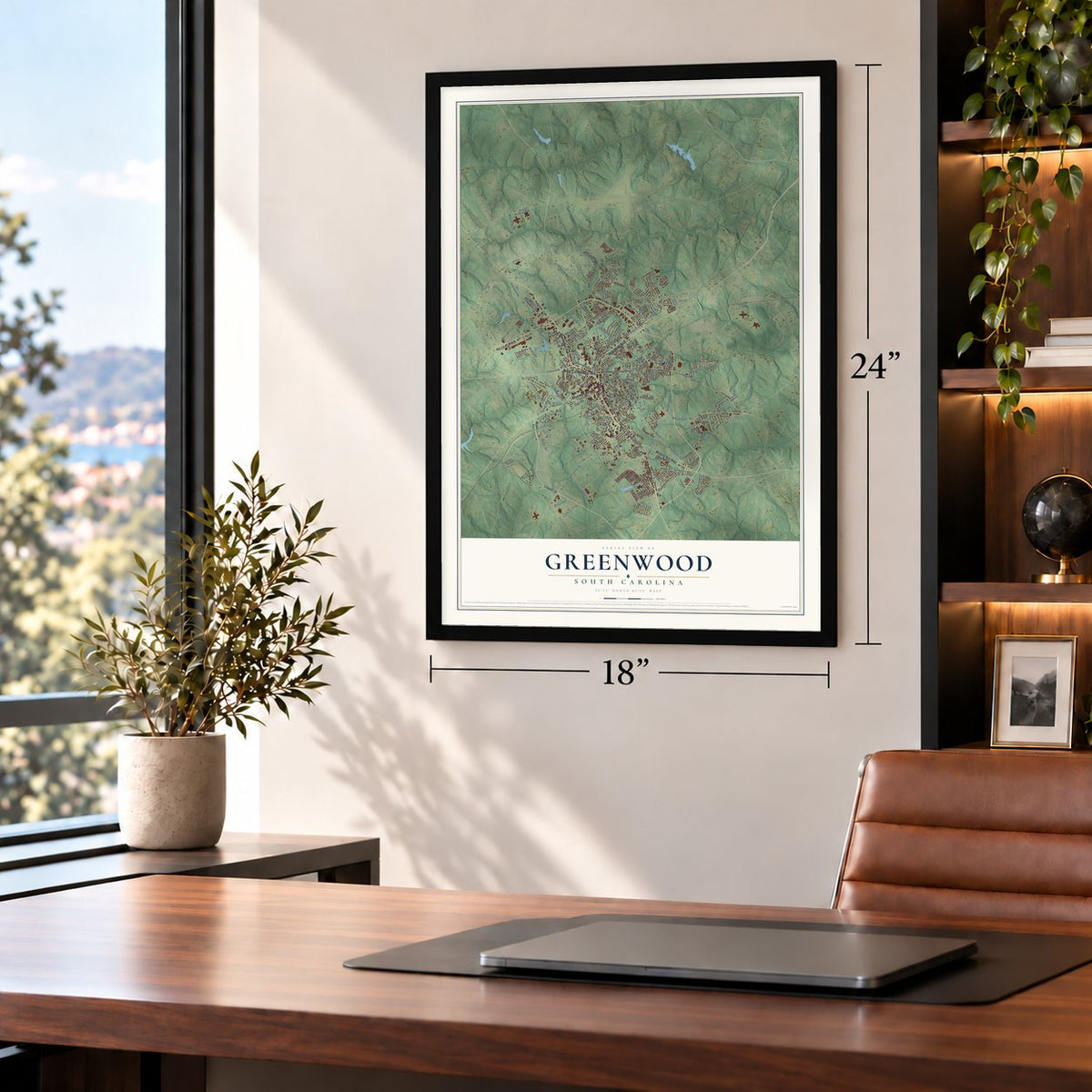
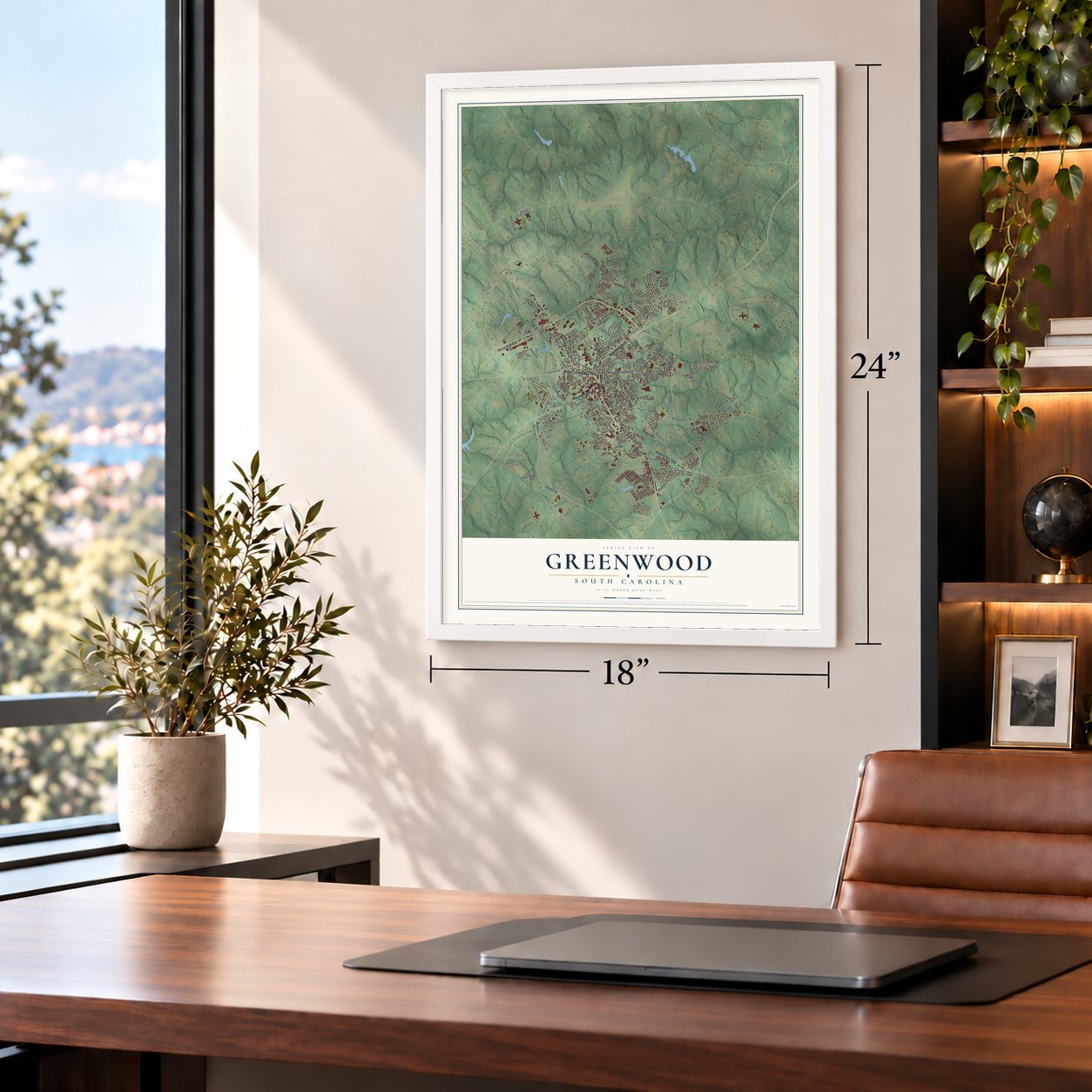
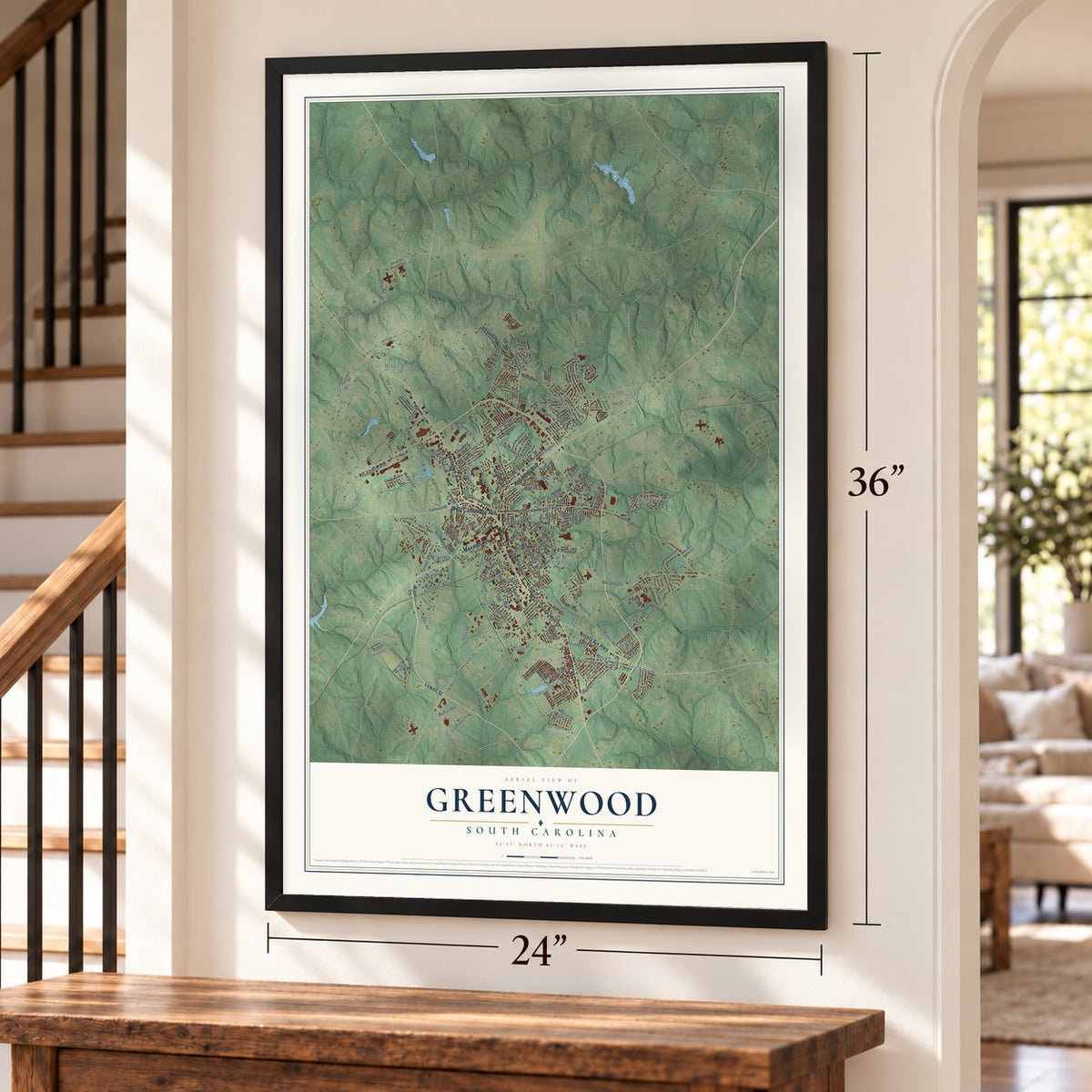
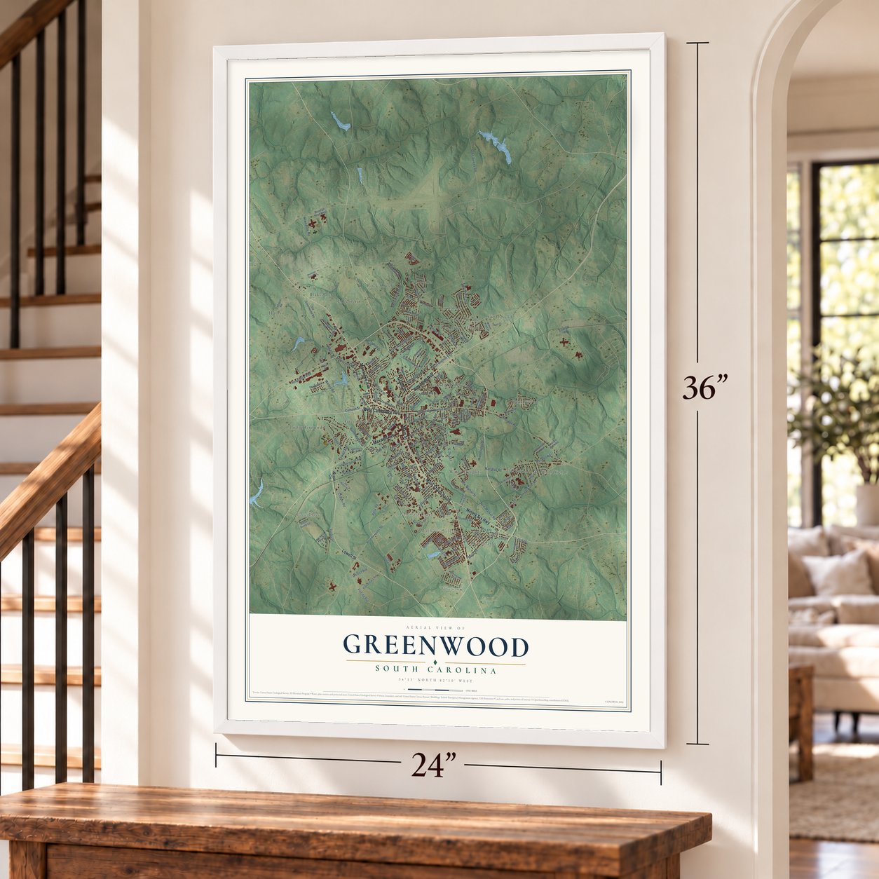
Free U.S. delivery 7 to 10 days after you order
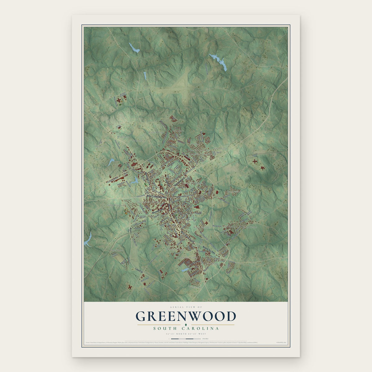
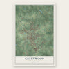
Greenwood, South Carolina Map Art
Building by building, with labeled streets and shaded relief.
12" x 18" Archival Matte Print
A Map of Home. A Work of Art.
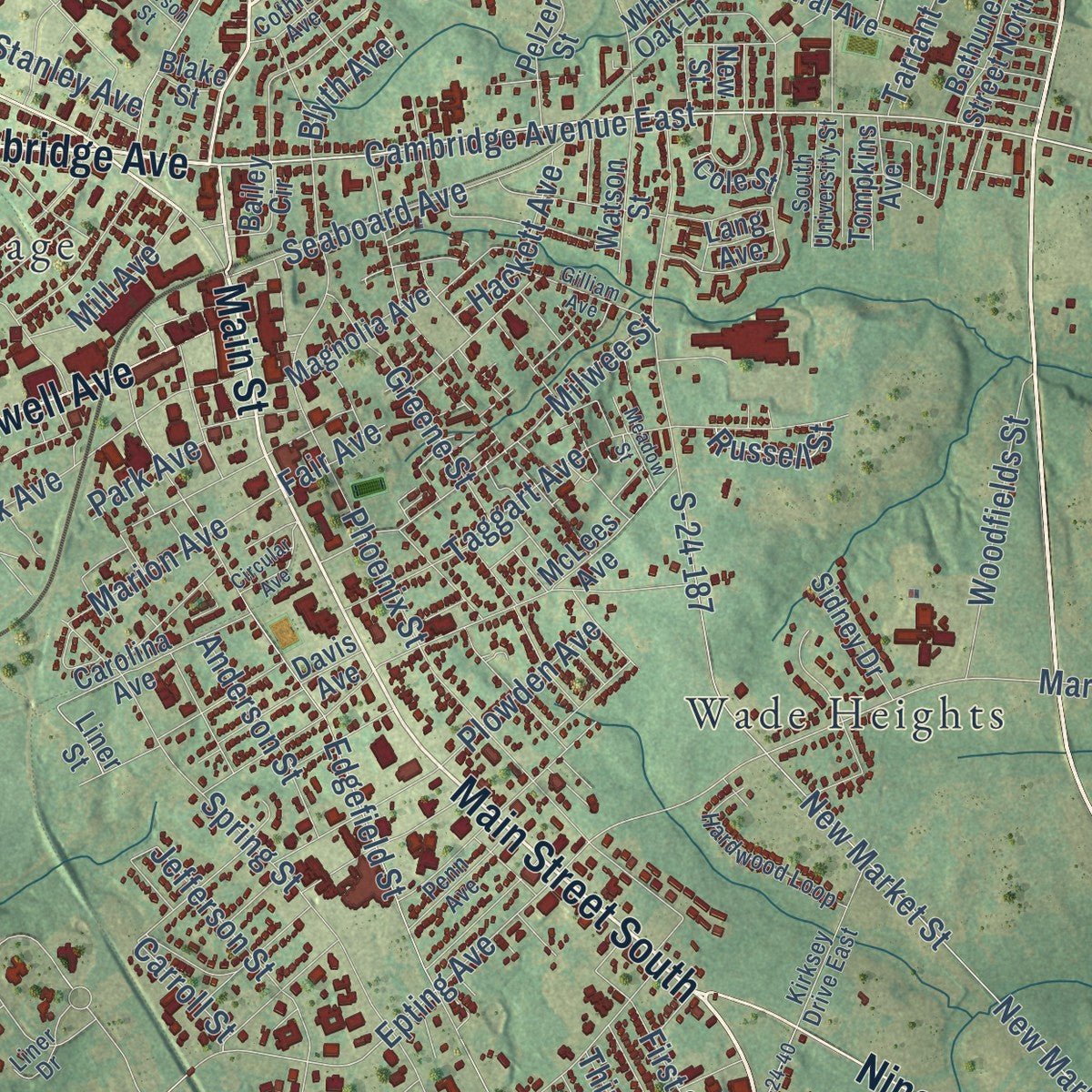
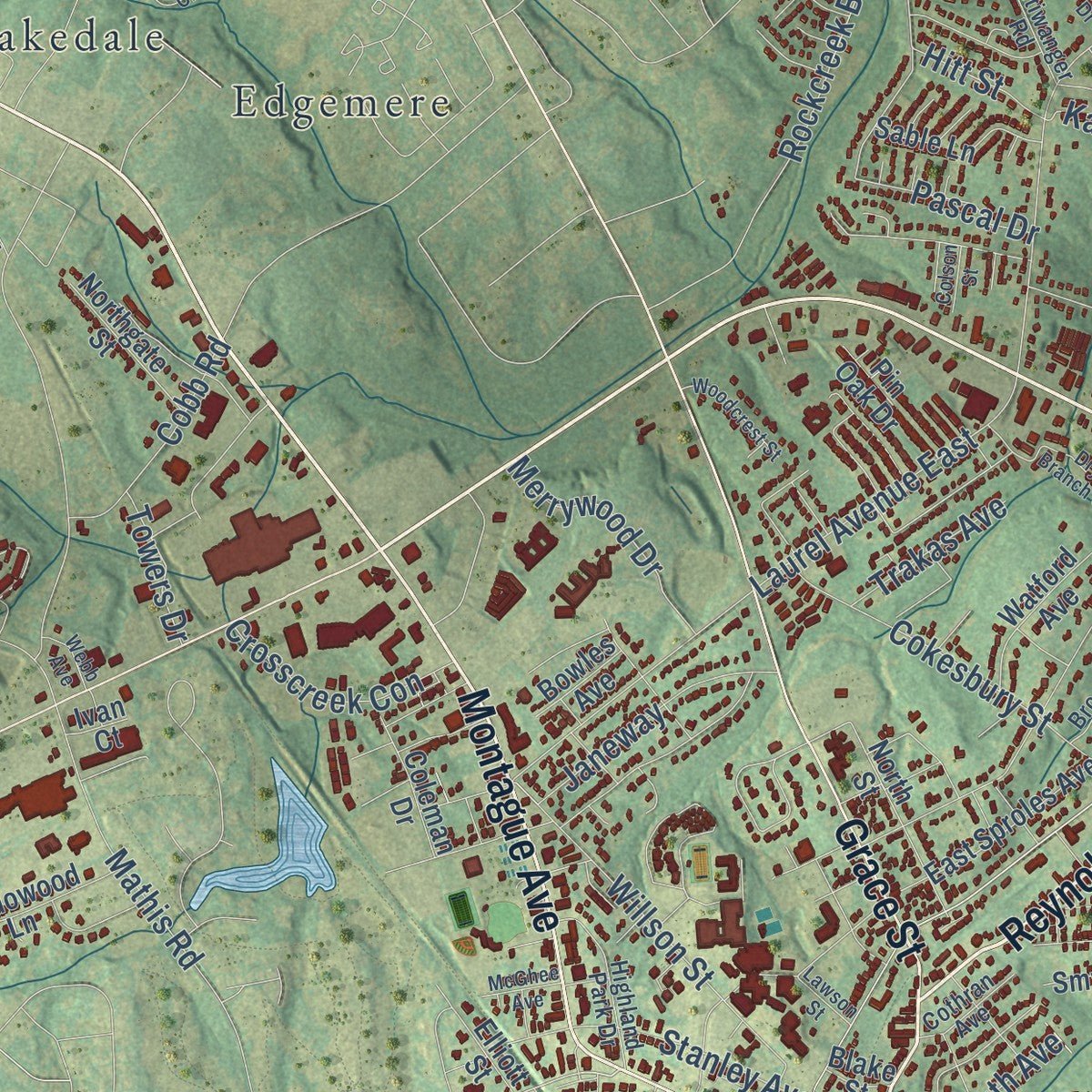
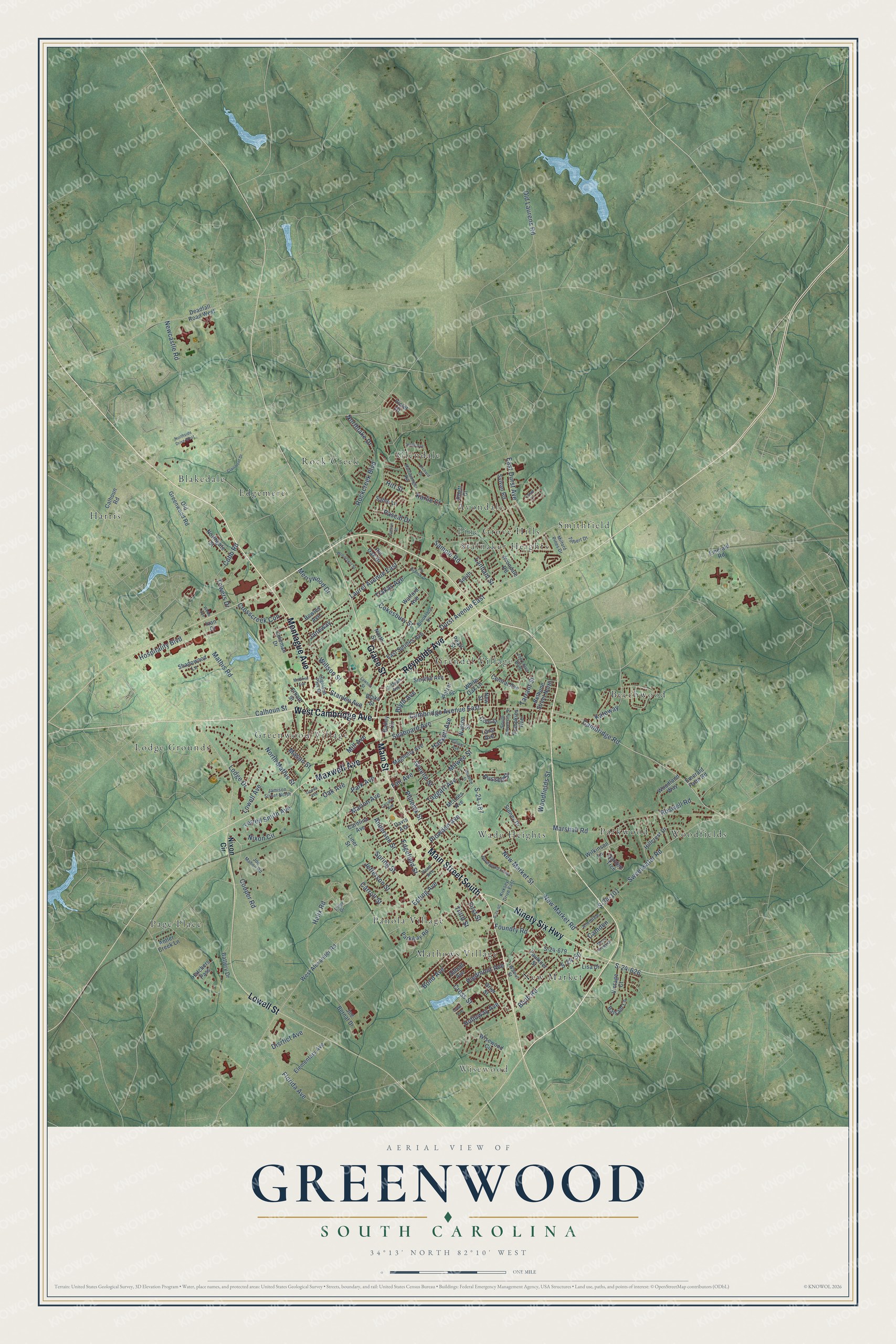
Explore Greenwood, South Carolina from a whole new perspective. Created using aerial imagery and detailed geographic data, this map captures Greenwood building by building, with labeled streets, familiar landmarks, and shaded topographical relief that highlights the natural contours of the landscape.
Combining modern data with the timeless character of a vintage atlas, this map is just as interesting up close as it is beautiful on the wall. Whether you grew up in Greenwood, spent memorable years there, or call it home today, this unique map is a great way to celebrate a place that means something to you. Zoom in on the preview to look for your street, and then order a print to put your memories on the wall.
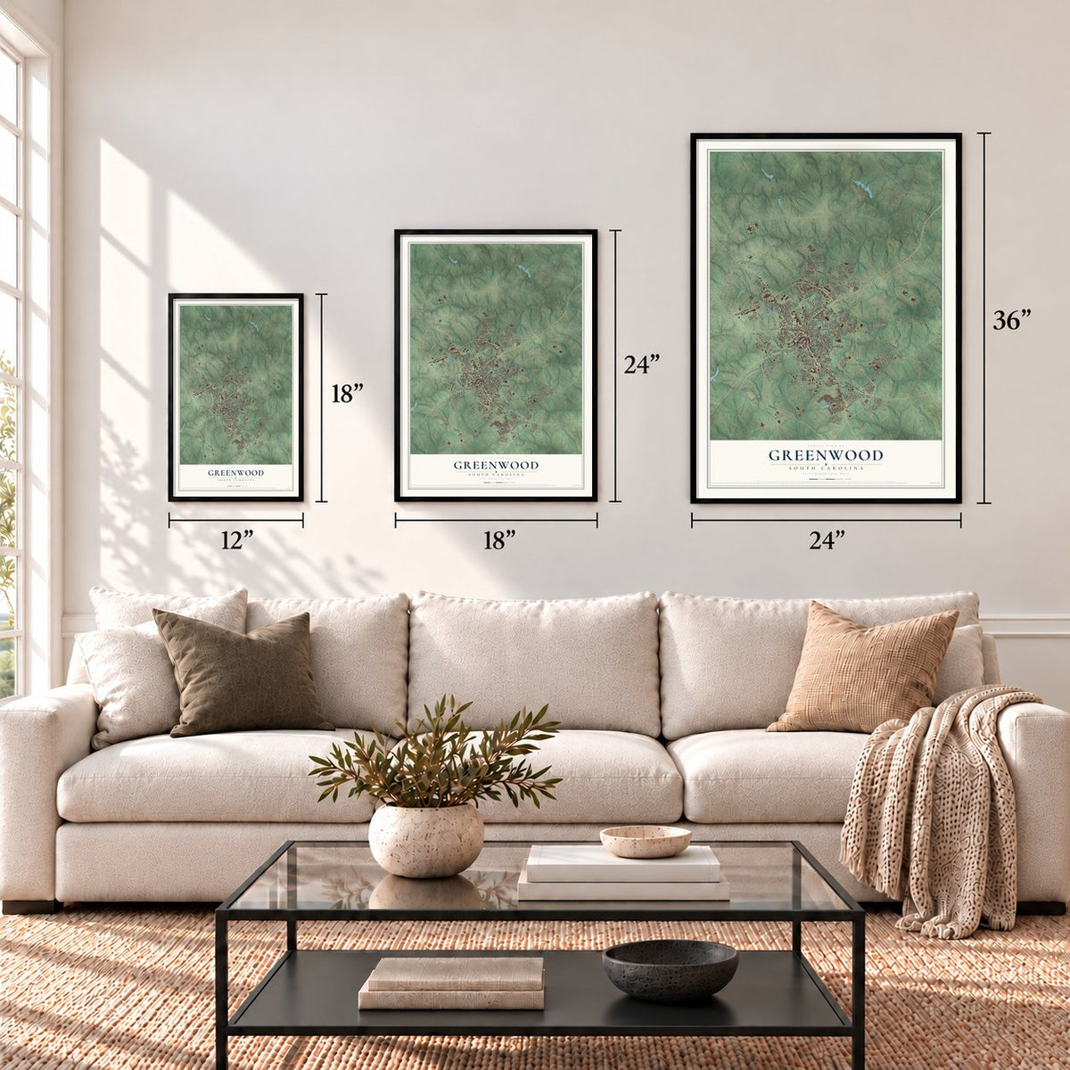
Three ways to hang it
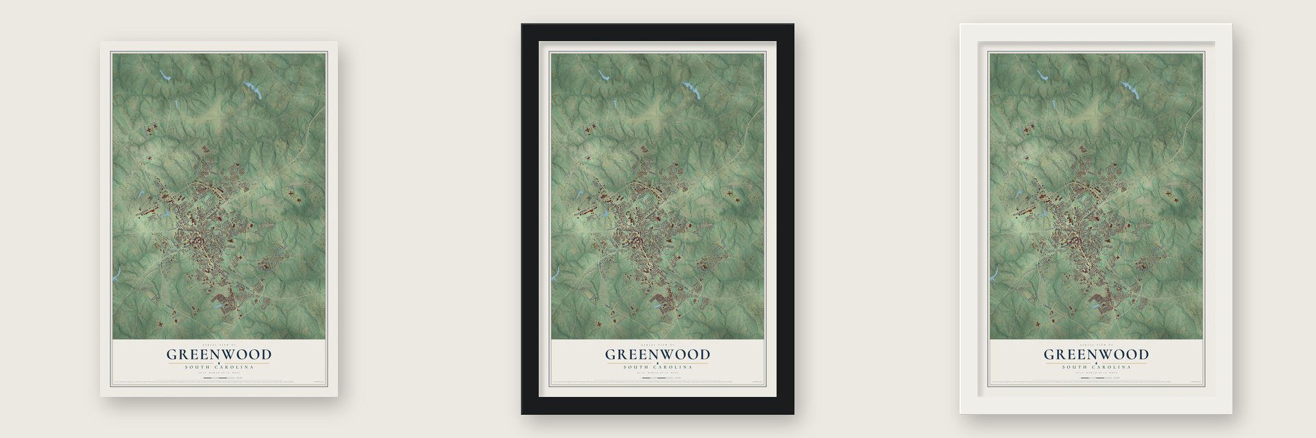
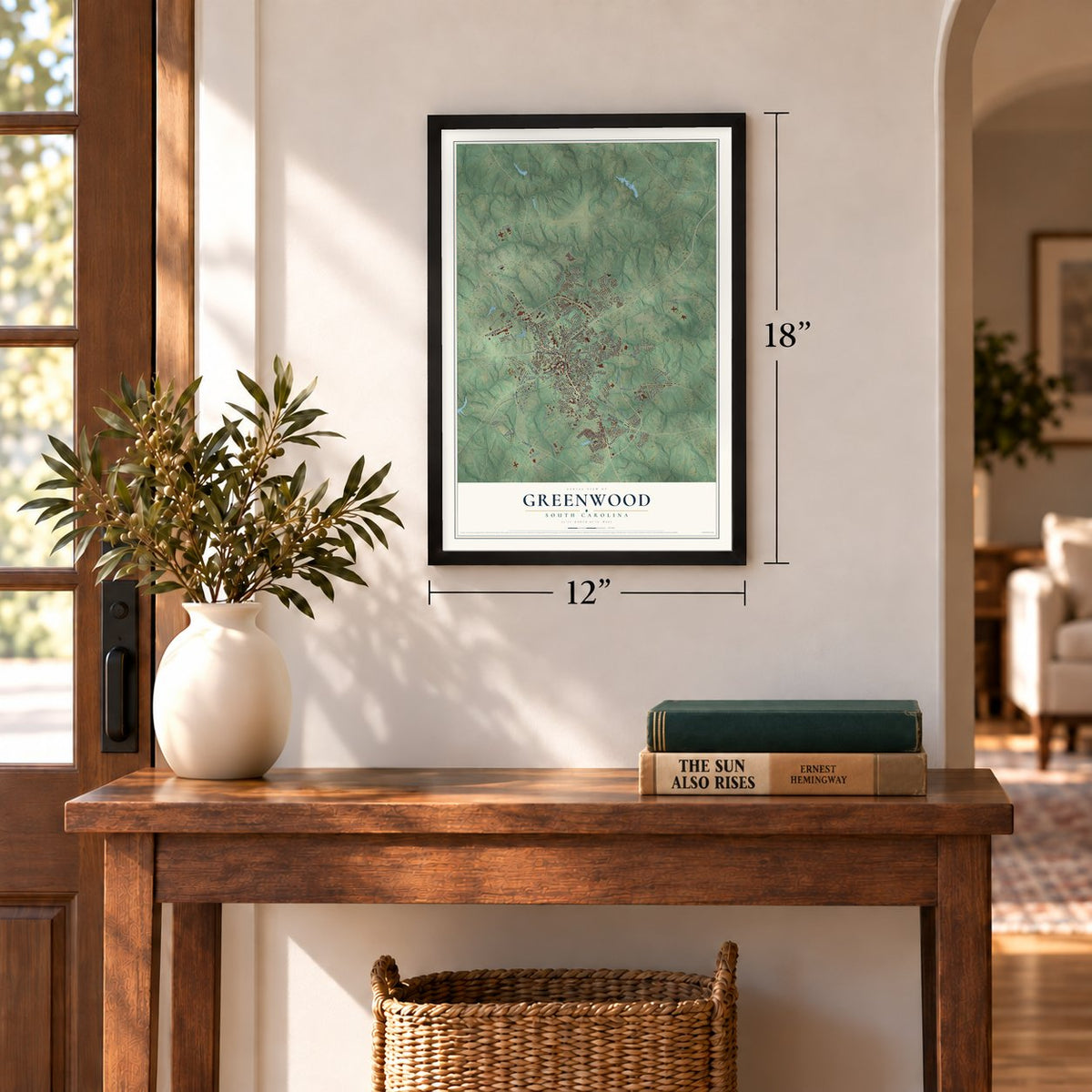
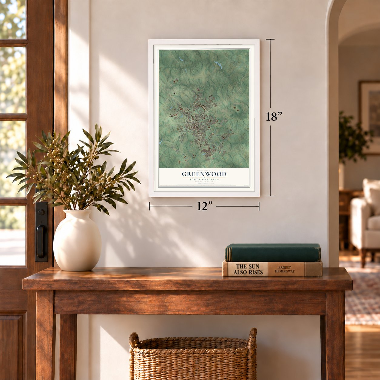
Unframed archival matte, a black wood frame or a white wood frame.
Up close
Geography Worth Displaying
This map was created using accurate cartographic data and authoritative geographic sources, including the U.S. Geological Survey and the Census Bureau. The map brings together terrain, waterways, roads, and building detail. The majority of the streets are labeled, houses are accurately depicted, and the topography is derived from government sources. Combining local data with carefully composed color and shading leads to this beautifully detailed Greenwood artwork for your wall.
Rather than simply showing street outlines, we’ve included as many of the street names as we could reasonably fit on the map while keeping their names legible. Zoom in on the high resolution preview to see exactly what’s on the map. We truly set out to create a statement piece for anyone who loves Greenwood. So whether it’s for you, or a gift for someone you love, we hope this map of Greenwood brings back fond memories.
Read the story behind this map of Greenwood, South Carolina from 2026.
Find your street
Names on the Greenwood map
Every name below is printed on this map. Look for your street, your school, the park where you played, or the pond down the road.
Places and landmarks21
- Wisewood
- Avondale
- Beechwood
- Blakedale
- Edgemere
- Glendale
- Greenwood Village
- Grendel Village
- Harris
- Lodge Grounds
- Mathews Village
- New Market
Show all 21 places
- Page Place
- Panola Village
- Parkwood
- Pine Grove Hills
- Rock Creek
- Smithfield
- Stalnaker Heights
- Wade Heights
- Woodfields
Streets and roads179
- Main Street South
- West Cambridge Avenue
- Reynolds Avenue
- Main Street
- Montague Avenue
- Grace Street
- Maxwell Avenue
- Lowell Street
- Ninety Six Highway
- Cambridge Avenue East
- Cambridge Road
- Cooper Road
- Sweetwater Road
- Blyth Road
- S-24-50
- Durst Avenue East
- East Durst Avenue
- Taggart Avenue
- New Market Road
- Epting Avenue
- Marshall Road
- Karlie Court
- Nixon Circle
- Milwee Street
- Blyth Avenue
- Edgefield Street
- New Market Street
- S-24-187
- Florida Avenue
- S-24-101
Show all 179 streets
- Phoenix Street
- Mathis Road
- Cokesbury Street
- Laurel Avenue East
- Lodge Drive
- Spring Street
- Old Laurens Road
- Lowell Avenue
- Newcastle Road
- Rockcreek Boulevard
- Sample Road
- Foundry Road
- Pascal Drive
- Willson Street
- Oak Avenue
- Seaboard Avenue
- Kateway
- Helix Road
- Lanham Street
- Terrell Smith Avenue
- North Mathis Street
- Woodfields Street
- Stanley Avenue
- S-24-626
- Bond Avenue
- Janeway
- Greene Street
- Cross Street
- Crosscreek Con
- Merrywood Drive
- Marion Avenue
- Piedmont Avenue
- Cobb Road
- Hospitality Boulevard
- Holloway Avenue
- Roswell Road
- Anderson Street
- Mason Street
- Northlake Drive
- Plowden Avenue
- Tarrant Street
- Mill Avenue
- Hackett Avenue
- Jefferson Street
- Disrtict Avenue
- Calhoun Street
- Trakas Avenue
- Towers Drive
- Hitt Street
- Russell Street
- Carroll Street
- First Street
- Park Avenue
- Camden
- Fair Avenue
- Third Street
- Calhoun Road
- Watson Street
- West Alexander Road
- North Street
- Wisewood Circle
- Avondale Road
- S-24-679
- Sylvan Road
- Pelzer Street
- Parkway Road
- Elementary Avenue
- Hillcrest Drive
- Hatchers Pass
- East Sproles Avenue
- Deadfall Road West
- Old Greenwood Road
- Emerald Road
- Woodland Way
- Grier Street
- Vintage Court
- Carolina Avenue
- Magnolia Avenue
- Sable Lane
- Shadowood Lane
- Pearl Street
- Garden Trce
- Emerald Farm Road
- Central Avenue
- Battery Drive
- McLees Avenue
- Watford Avenue
- Davis Avenue
- Northgate Street
- Balsam Lane
- Coleman Drive
- Smythe Avenue
- Bethune Street North
- Faulkner Street
- Pin Oak Drive
- Tompkins Avenue
- Sidney Drive
- Wilkinson Lane
- Antler Creek Lane
- Lisa Drive
- Joe Bernat Drive
- Abbott Avenue
- Bailey Circle
- Bowles Avenue
- White Oak Lane
- Rhett Court
- Elliott Street
- Violet Court
- Cole Street
- Liner Street
- Smith
- Blake Street
- Lang Avenue
- New Street
- Ivan Court
- Haltiwanger Road
- Tolbert Drive
- Jamison Street North
- Milford Pines Drive
- Hardwood Loop
- Highland Park Drive
- Kirksey Drive East
- Walnut Street
- Joe Mahon Road
- Allendale
- South University Street
- Brooklane Drive
- Cothran Avenue
- Joe Louis Boulevard
- Liner Drive
- Penn Avenue
- Northside Drive West
- Circular Avenue
- Orchard Drive
- Clairmont Drive
- Dry Branch Court
- Moss Creek Drive
- Gilliam Avenue
- McGhee Avenue
- Woodcrest Street
- Meadow Street
- S-24-40
- Lowe Avenue
- Holly Avenue
- Webb Avenue
- Lawson Street
- Colson Street
- Goode Avenue
- Cabot Court
Names are listed as they appear on the printed map. Zoom into the product photos to find them.
About Greenwood, South Carolina
Greenwood is a city of 22,545 people and the seat of Greenwood County. John and Charlotte McGehee built a summer home in 1823 that they called "Green Wood," halfway between Abbeville and Cambridge, because the air there was cleaner. A village called Woodville grew up nearby and got a post office in 1837, and by 1850 the village had taken the name Greenwood.
The town grew with its first railroad, the Greenville & Columbia, built in 1852, and Greenwood was incorporated in 1857. For years it lived on the railroad and on farming. That changed in 1890, when William L. Durst started the Greenwood Cotton Mill and the town turned to making textiles. In 1898 the city opened its own electric power and water plant.
- Brewer Normal Institute, 1872Starting in 1872, the American Missionary Association ran the Brewer Normal Institute here, a school for African-American students during segregation. It began as a private boarding school, became a public school by 1925 and closed in 1970. The association also built Brewer Hospital, which was dedicated on May 24, 1924.
- A college town since 1904Lander University moved to Greenwood from Williamston in 1904, and its Lander College Old Main Building joined the National Register in 1984. Piedmont Technical College opened in 1966. In 2015 Lander had 494 graduates, more than any other school in the city.
- Festival of Flowers since 1968The first South Carolina Festival of Flowers, in the summer of 1968, marked the 100th anniversary of George W. Park Seed Company. The chamber of commerce planned it because hundreds of flower growers already came each year for Park Seed's grower days to walk its trial gardens, which closed in 2013. The topiary project began in 2008 and now fills the square with 42 topiaries, and crowds have passed 80,000.
Keep exploring South Carolina
Greenwood is one of 540 South Carolina towns we've mapped. Every dot on the map is a print of its own.
The search covers every state, South Carolina first.
Near Greenwood
Order 2 or more town maps and save 10%. Shown in the size and finish you picked above, so they hang as a set.
- Coronaca 12" x 18" / Archival Matte Print $39.99
- Promised Land 12" x 18" / Archival Matte Print $39.99
- Cokesbury 12" x 18" / Archival Matte Print $39.99
More maps nearby: Ninety Six, Hodges, Cross Hill, Waterloo and Bradley.
The art of mapping a place
How This Map Was Made
Real places. Remarkable detail. Discover the layers that turn geographic data into a map of home.

The view from above
Aerial imagery reveals the character of the land: woodland, open fields, and the patterns of a place.

The shape of the land
Elevation data brings hills, valleys, and subtle changes in the landscape into view.

The details of home
Roads, waterways, and building footprints come together to make the map feel unmistakably local.

Geography becomes art
Considered color, shading, and typography bring the layers together in a map made for your wall.


Process illustrated with Mendon, Massachusetts. Aerial imagery: USDA NAIP. Terrain: USGS 3D Elevation Program. Map details and finished artwork: KNOWOL.
The Details
About This Print
Choose an archival matte print, or a black or white Ayous wood frame. The archival matte print is unframed.
Select your size and finish above to see the matching product image and price.
Materials & Craftsmanship
A contemporary map with the character of a classic atlas, printed on archival matte paper. Optional frames are made from Ayous wood.
Your printed map does not include the watermark shown in the full-map preview.
Shipping & Delivery
Free shipping within the United States. Every print is made to order in the USA.
Buying a gift? Add a note in your cart and we'll include it. We never put prices in the package.
Prints ship within 2 to 3 business days. Allow 7 to 10 days total from ordering for delivery. Timing may vary during holidays or periods of high order volume.
Read our shipping policy.
Returns and damaged prints
Each print is made to order. Change-of-mind refunds are not available after production.
If your print arrives damaged, misprinted or incorrect, contact support@knowol.com within 30 days of receiving it. Include your order number, photos and a description of the issue.
Read our full refund and replacement policy. For questions about your order, email support@knowol.com.